PT13408 & PT13026
Date: 06/11/2023
Partner: Solo
Trailhead: Eddiesville TH
Summits: PT13026 & PT13408
Distance: 15.3m
Elevation Gain: 5300ft
Duration: 8hrs
GPX
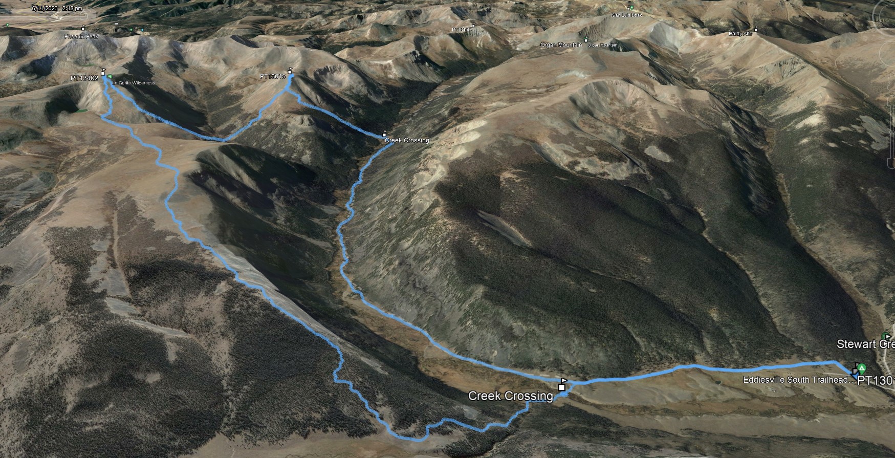
While hiking the Colorado Trail that morning, I was planning on approaching and deproaching these peaks via Canon Diablo. However when I reached Canon Diablo junction it looked kinda bushwhacky and I opted to continue up the CT to PT13026's northern slopes. It worked out great! I found a good spot to cross the creek (knee deep) and made my way up PT13026.
About 400ft below the summit, I about stepped on a baby deer who was laying all alone in the rocks. It scared me to death and I let out a scream. The deer jumped to it's feet and ran off letting out screams of its own. The poor little guy was all alone with no family. I hadn't seen a deer all morning and I wasn't sure if he was 100% healthy. I felt bad for scaring him and wasn't sure how long he would survive without his family. I continued to the summit.
After summiting PT13026 I decended southeast and climbed PT13408's northern slope. The hike up PT13408 was steep and led me to call the second audible of the day. Instead of decending the steep slope into Canon Diablo and potential swampy bushwhack back to the CT, I took the gentle northeast plateau back to the Machin Basin Trail and connected to the CT there. This route also worked out great.
There are two knee deep creek crossings on this route... I crossed barefoot without issue.
![PT13402 01]()
15.3m - 5300ft - 8hrs
![PT13402 02]()
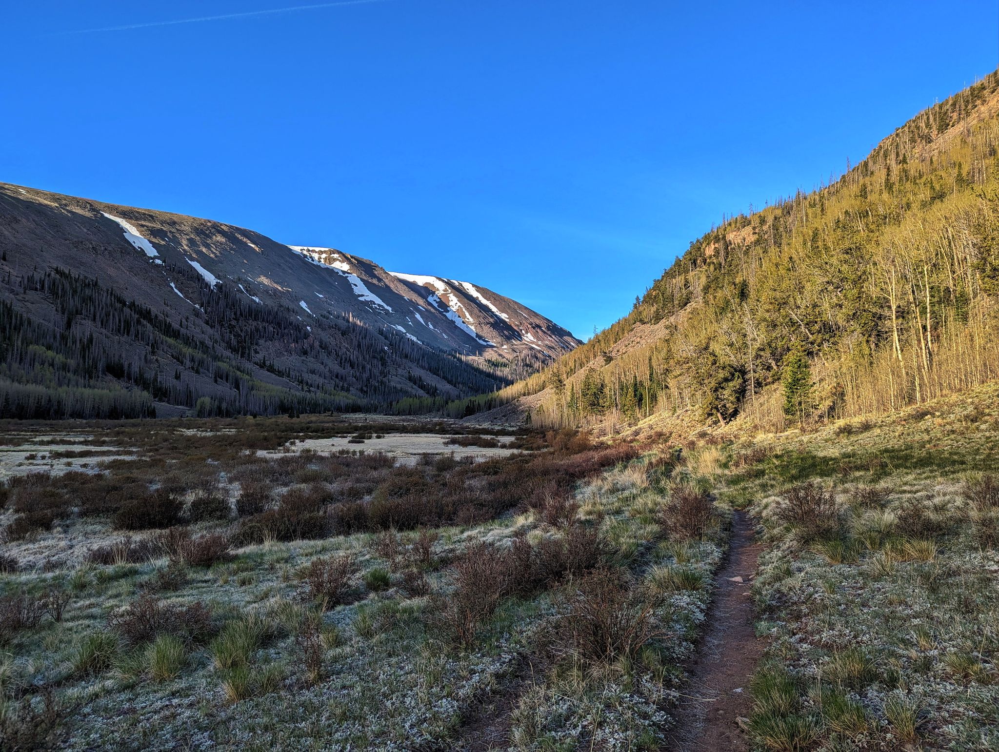
Cruising in on the Colorado Trail
![PT13402 03]()
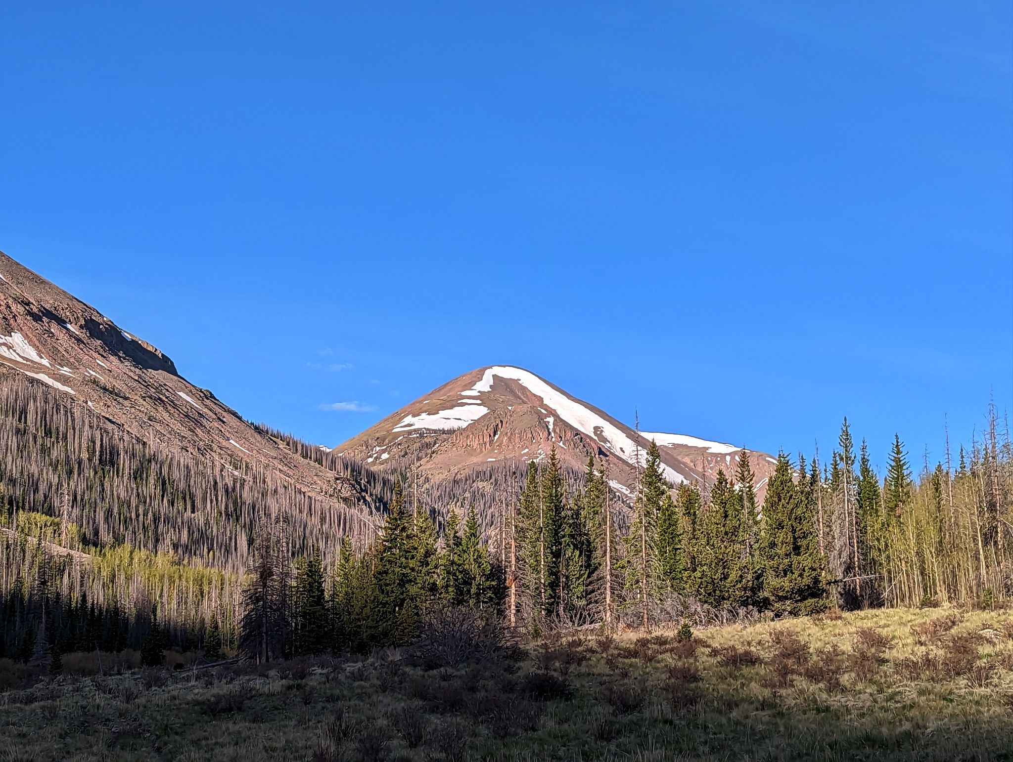
The first peak of the day PT13,026 comes into view.
![PT13402 04]()
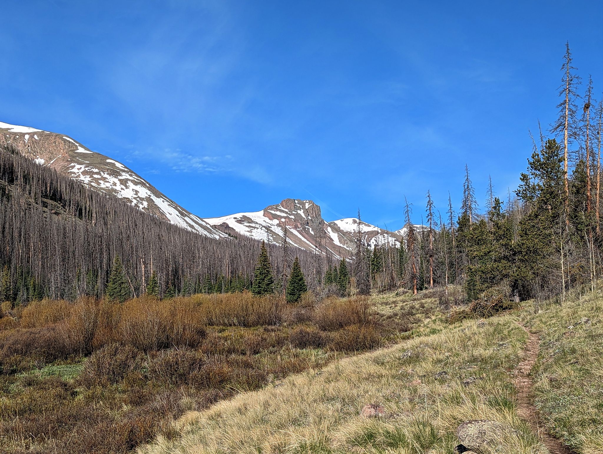
A westerly view up the valley on approach to PT13,026's north slope
![PT13402 05]()
I left the CT here, crossed the creek and climbed to the summit. This is a good spot to plan your route with respect to snow, willows, grass and scree.
![PT13402 06]()
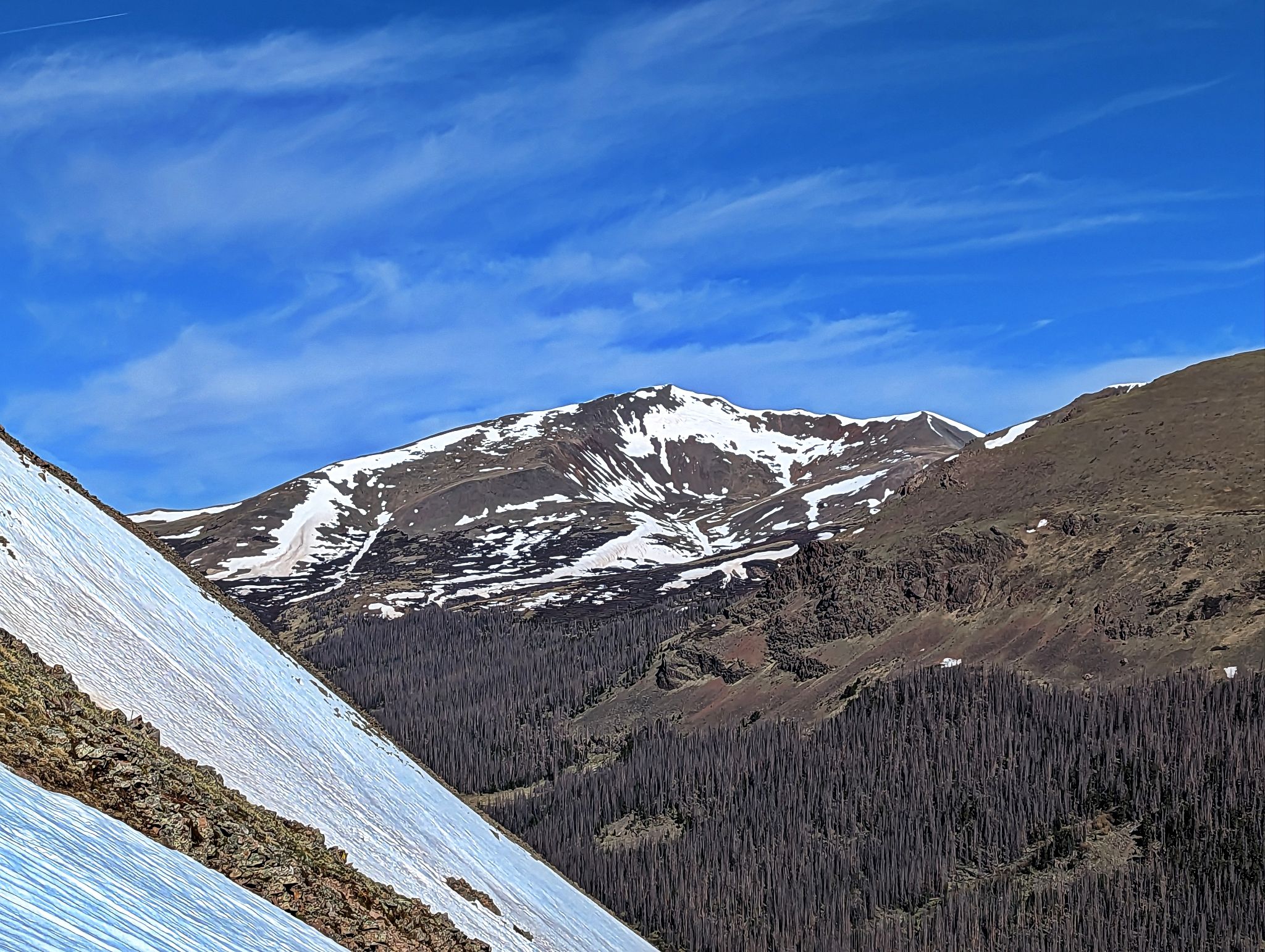
San Luis on ascent
![PT13402 07]()
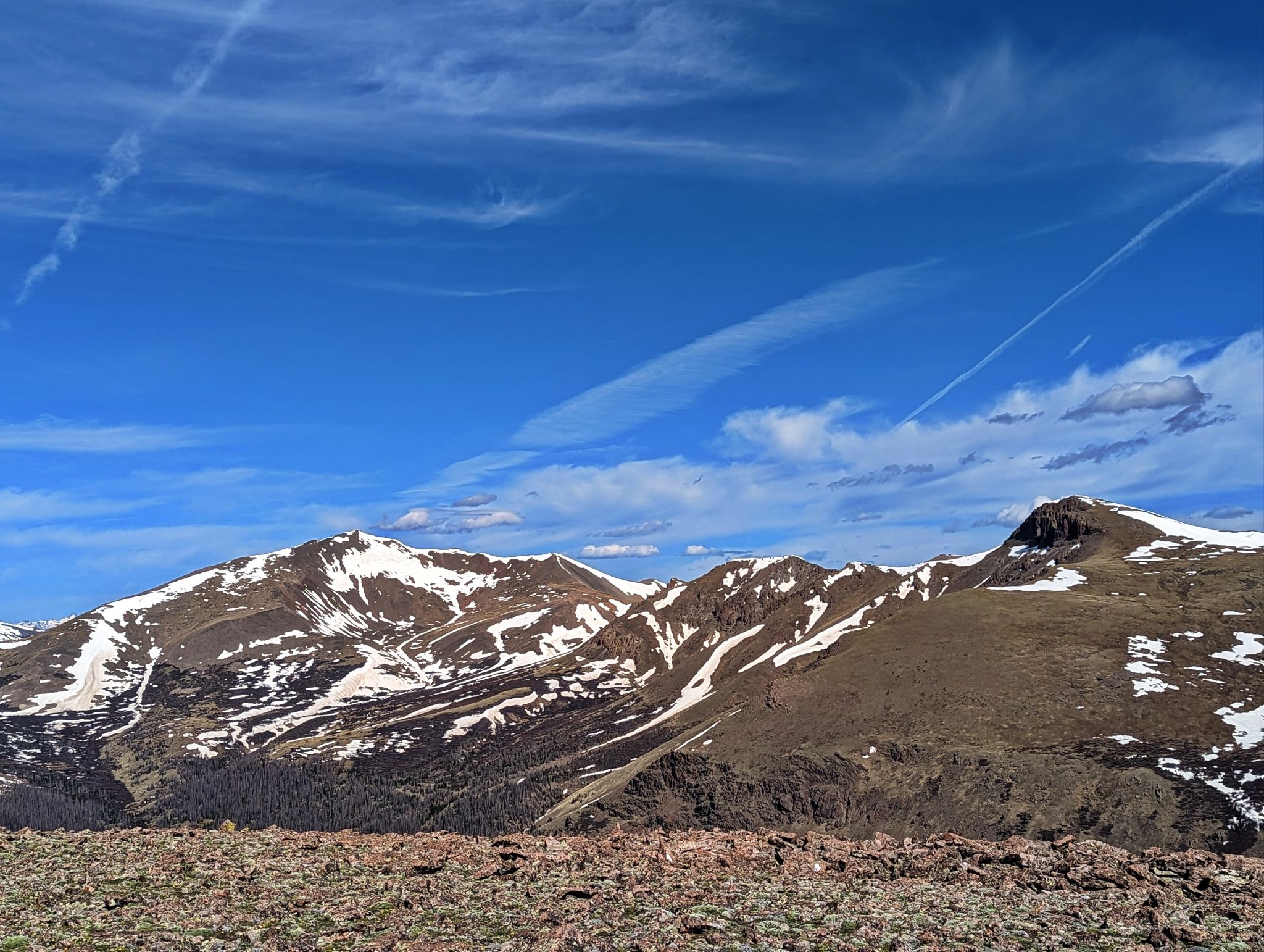
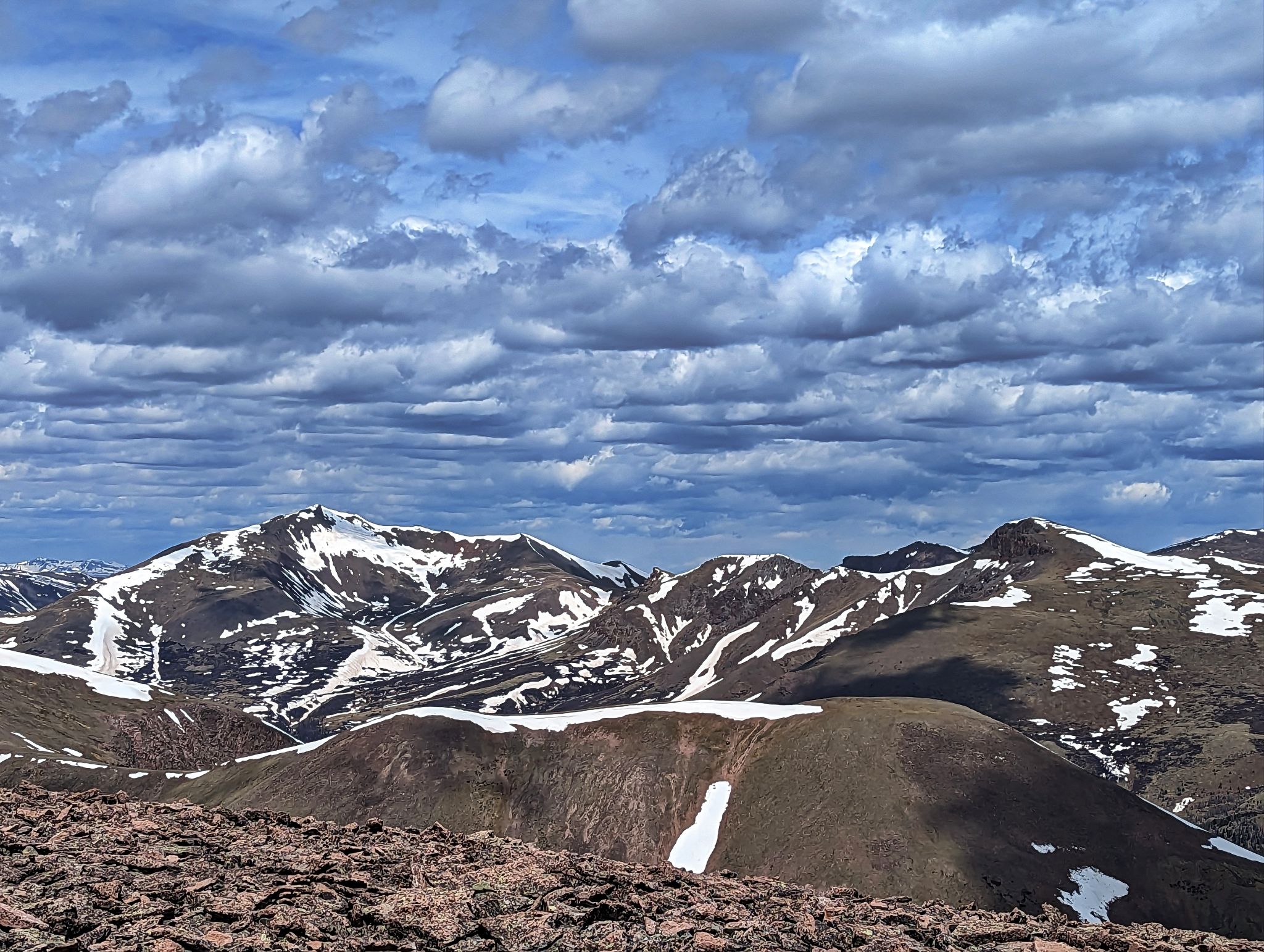
Looking southwest to Phoenix Peak from the summit
![PT13402 08]()
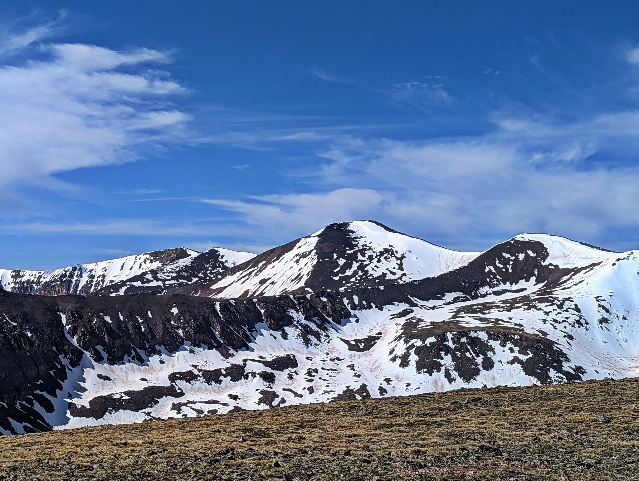
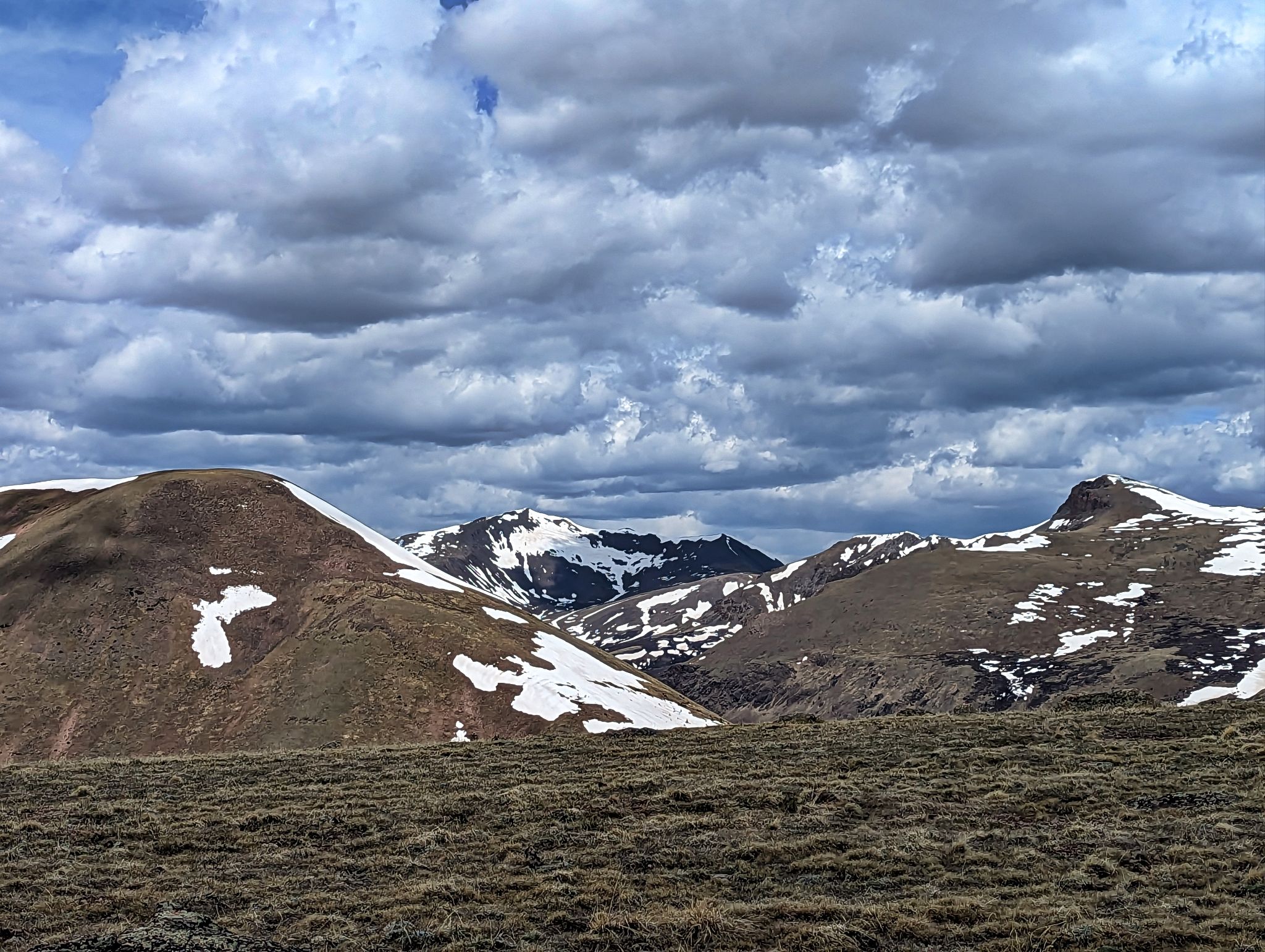
San Luis (L) and Organ (R)
![PT13402 09]()
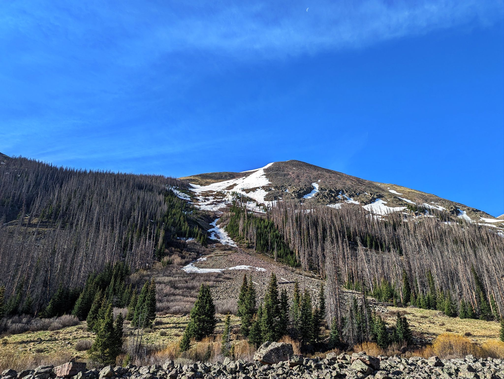
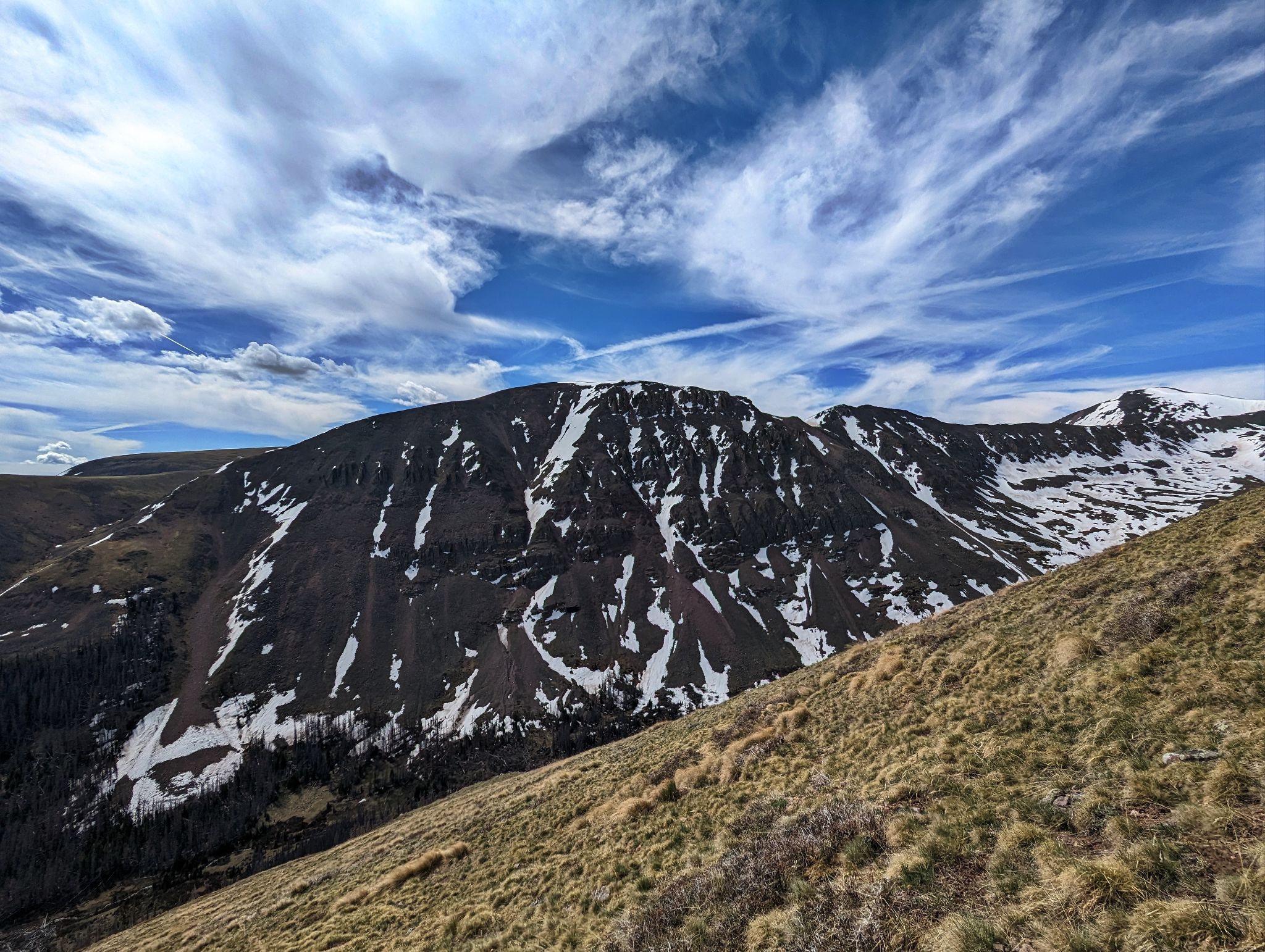
All eyes on the second peak of the day PT13408. I ascended the steep slope on the left by the rock slide with snow patches near the bottom.
![PT13402 10]()
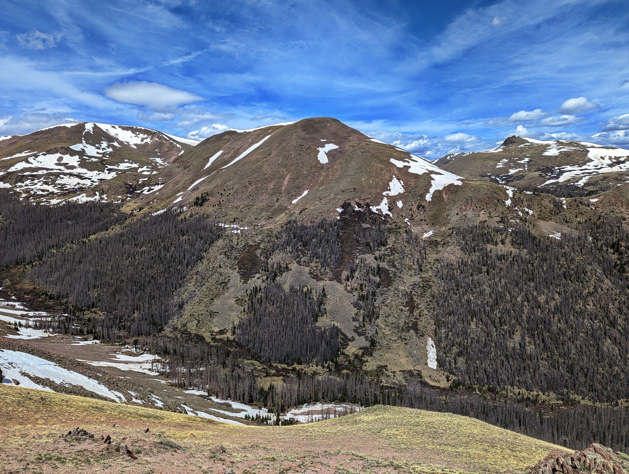
Looking back to PT13026 on ascent of PT13408
![PT13402 11]()
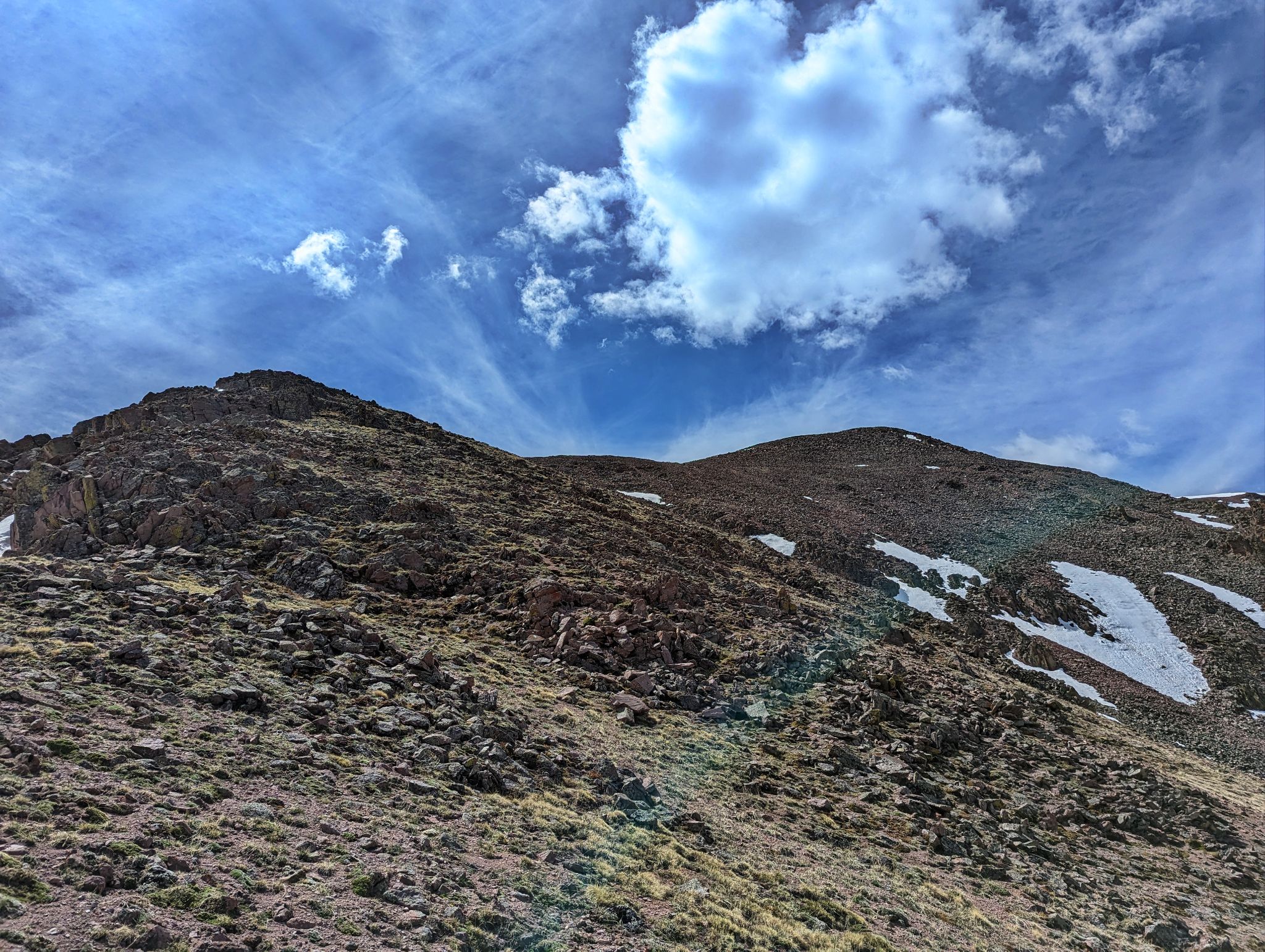
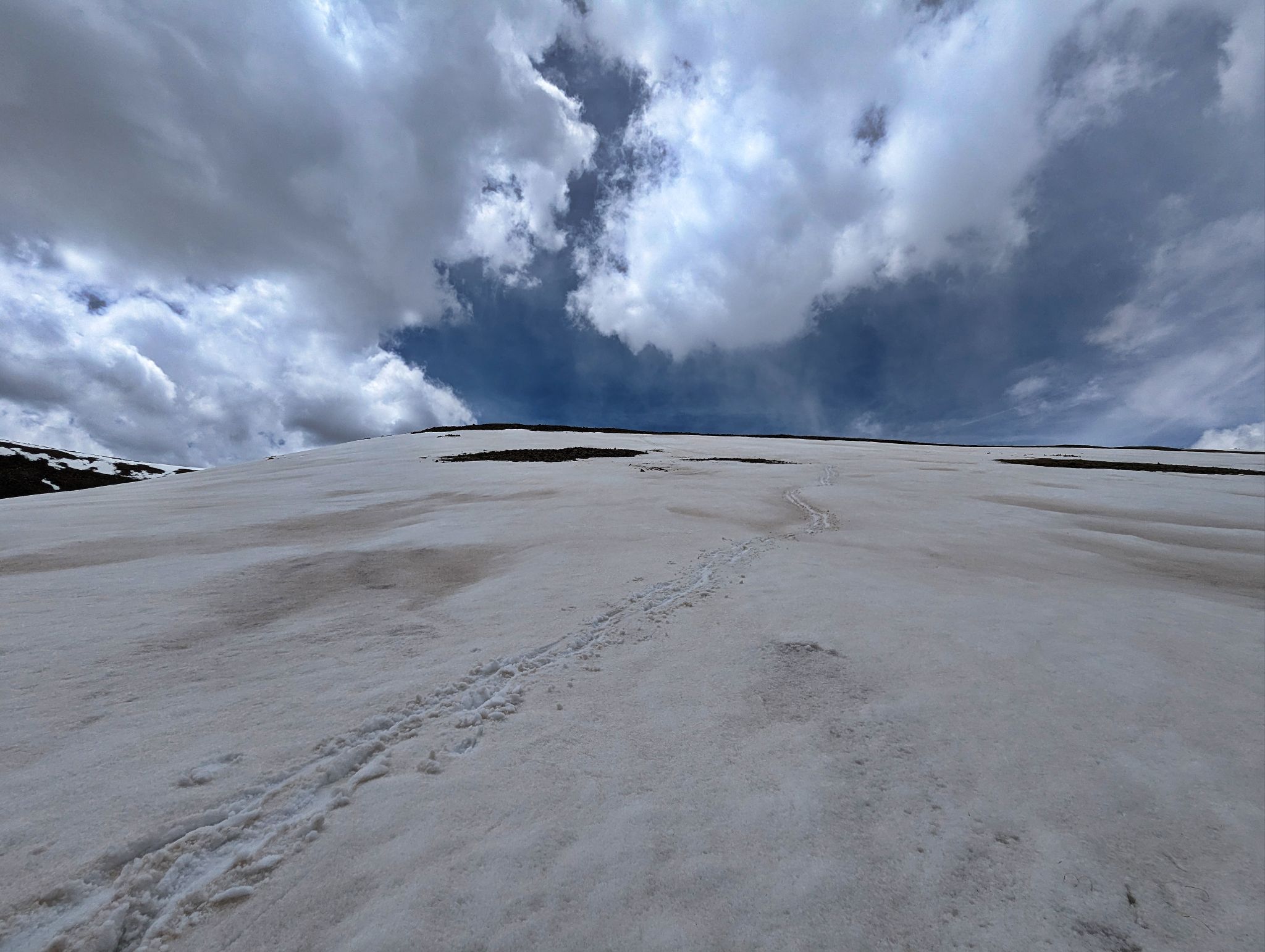
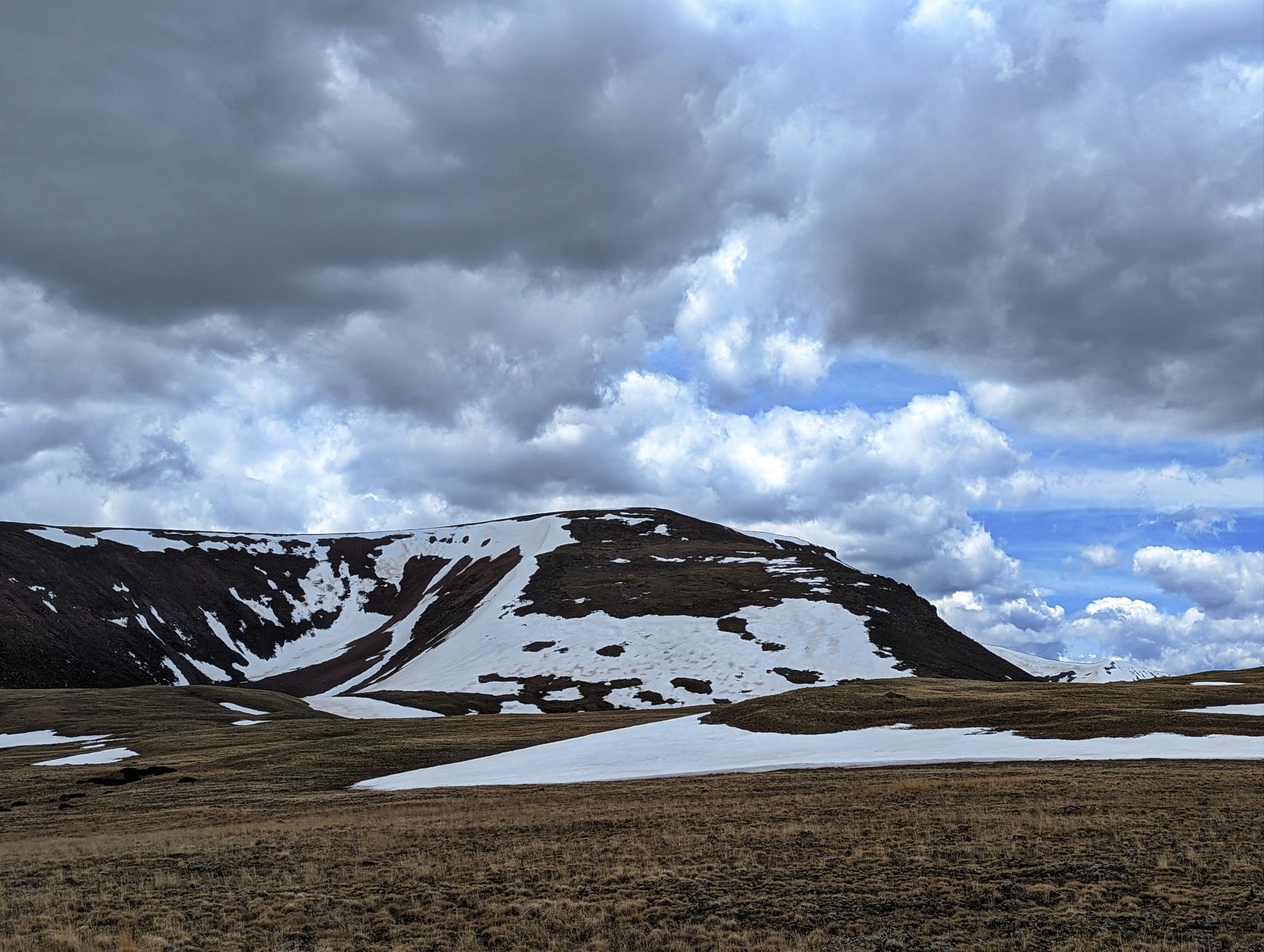
Looking up to PT13408's summit
![PT13402 12]()
Phoenix views from the summit.
![PT13402 13]()
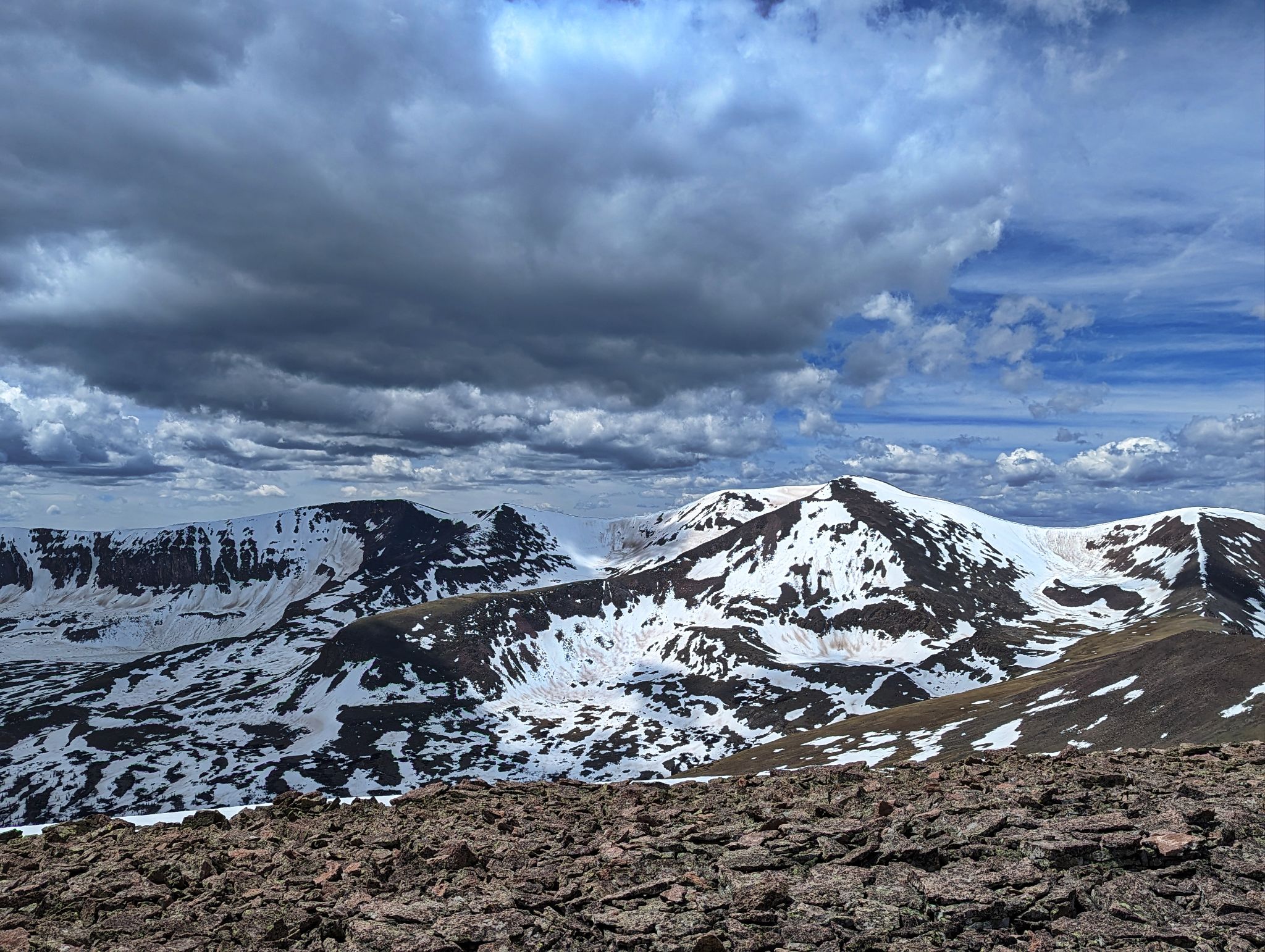
San Luis (R) and Organ (L)
![PT13402 14]()
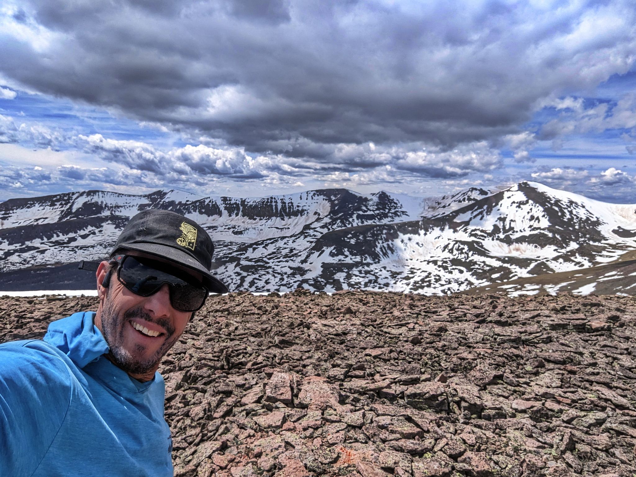
HAAAYYYY
![PT13402 15]()
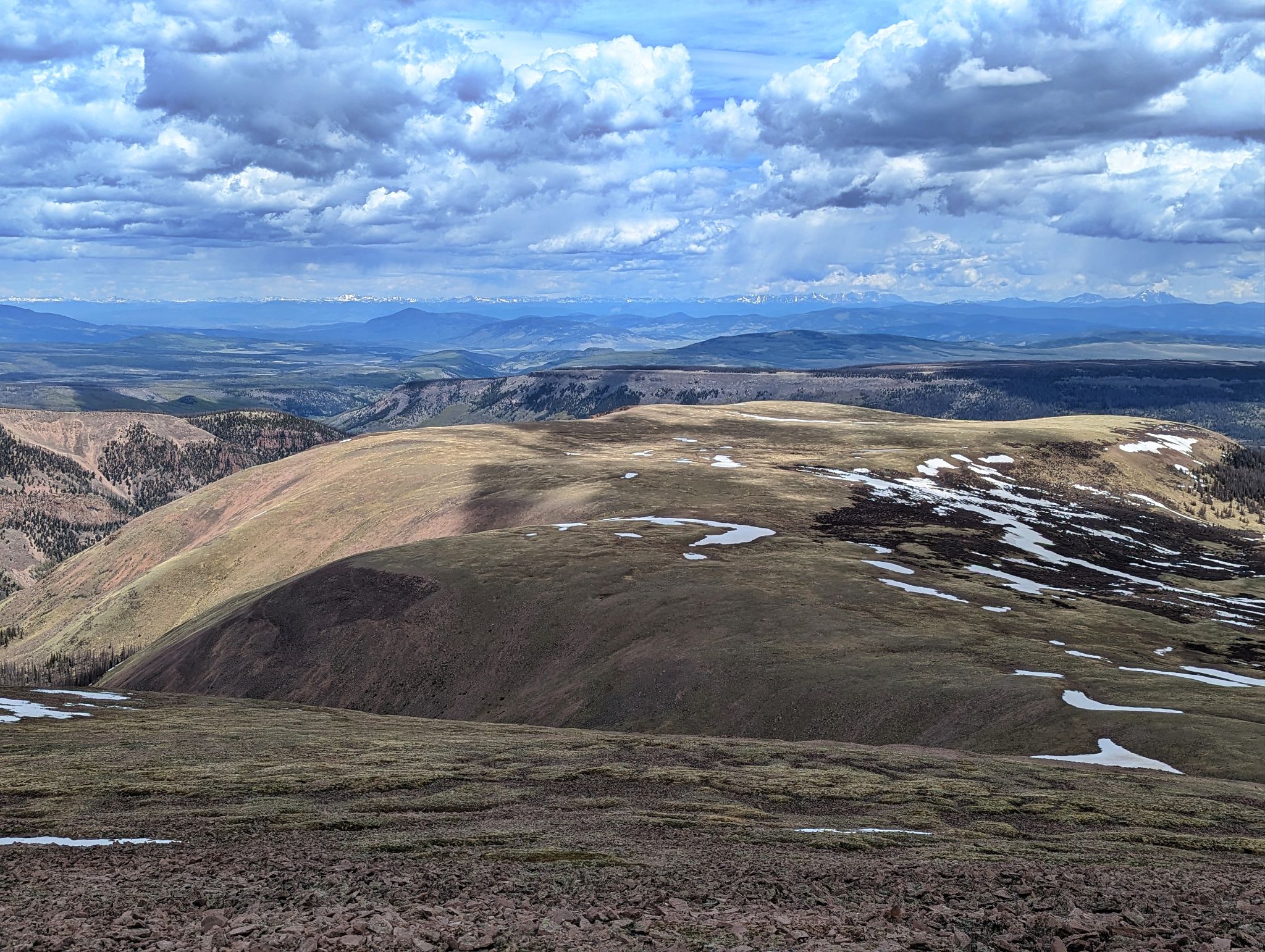
I made a game time decision to return on this low angle meadow instead of descending the steep route I came up.
![PT13402 16]()
Glissading is fun
![PT13402 17]()
Looking back to PT13026(L), San Luis and Organ (R)
![PT13402 18]()
Looking back to PT13408 and my glissade route
![PT13402 20]()
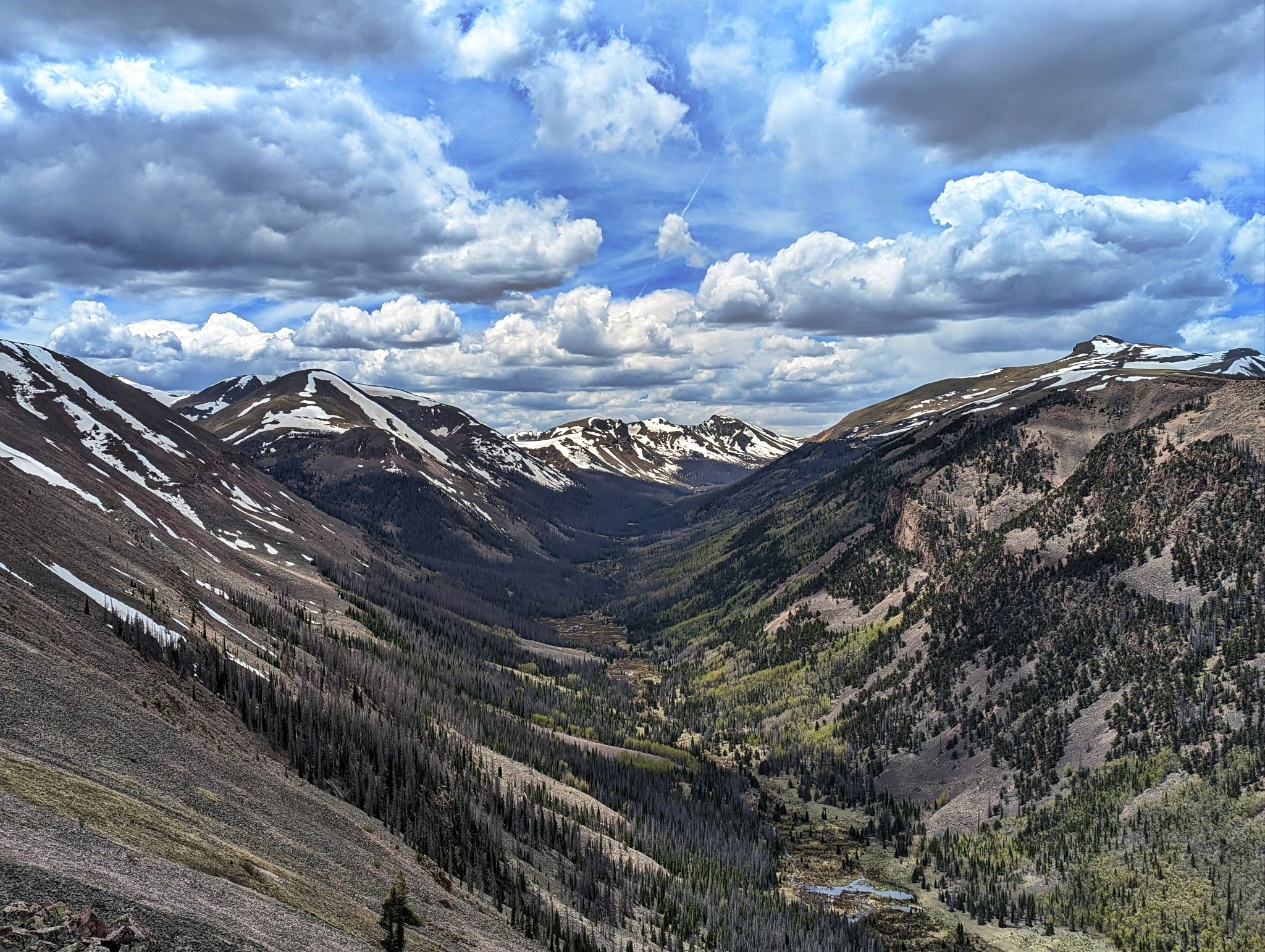
The valley I hiked in on earlier in the day. PT13026 (R) and San Luis (center)
![PT13402 20c]()
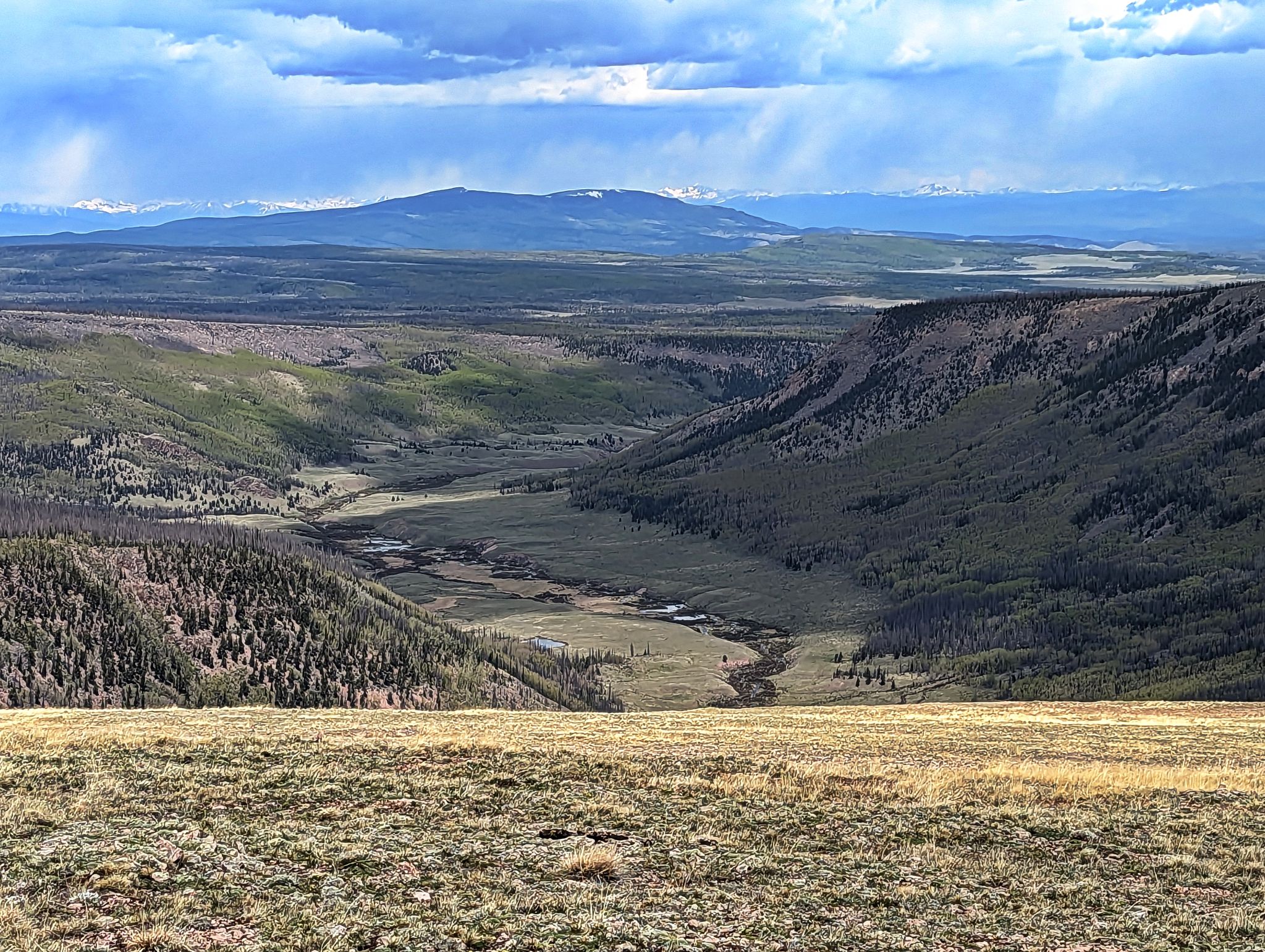
A view towards the Eddiesville TH before descending off of the plateau
![PT13402 21]()
Crossing back over the creek just before connecting back with the CT and the mile back to the TH