Garfield Peak
E Ridge - Class 2
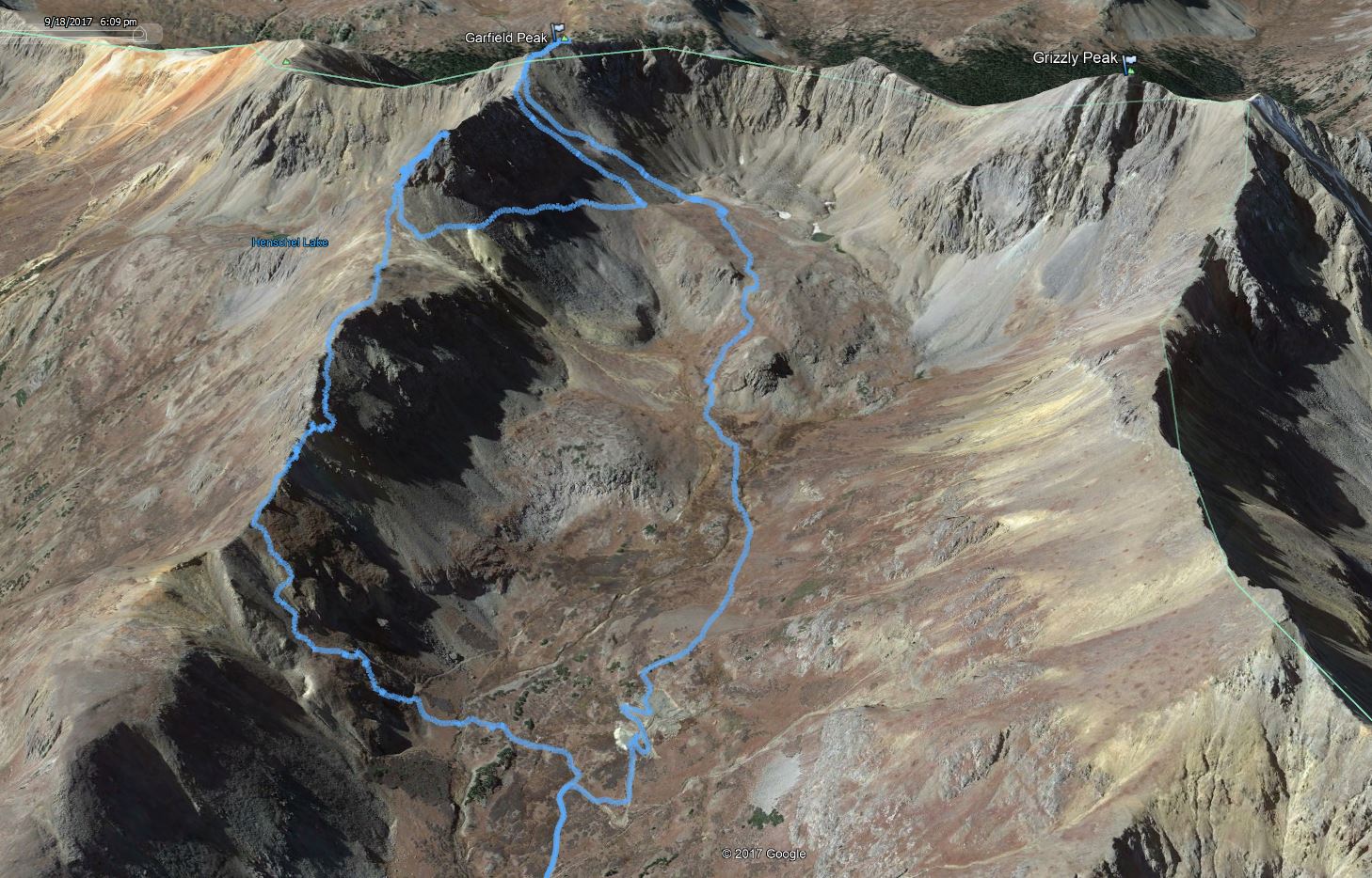
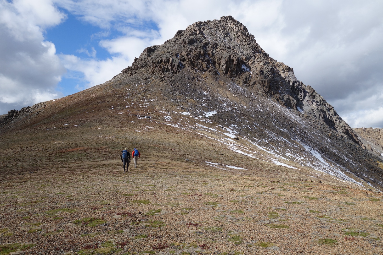
Our plan was to gain Garfield's East ridge as soon as reasonably possible and scramble to the summit.
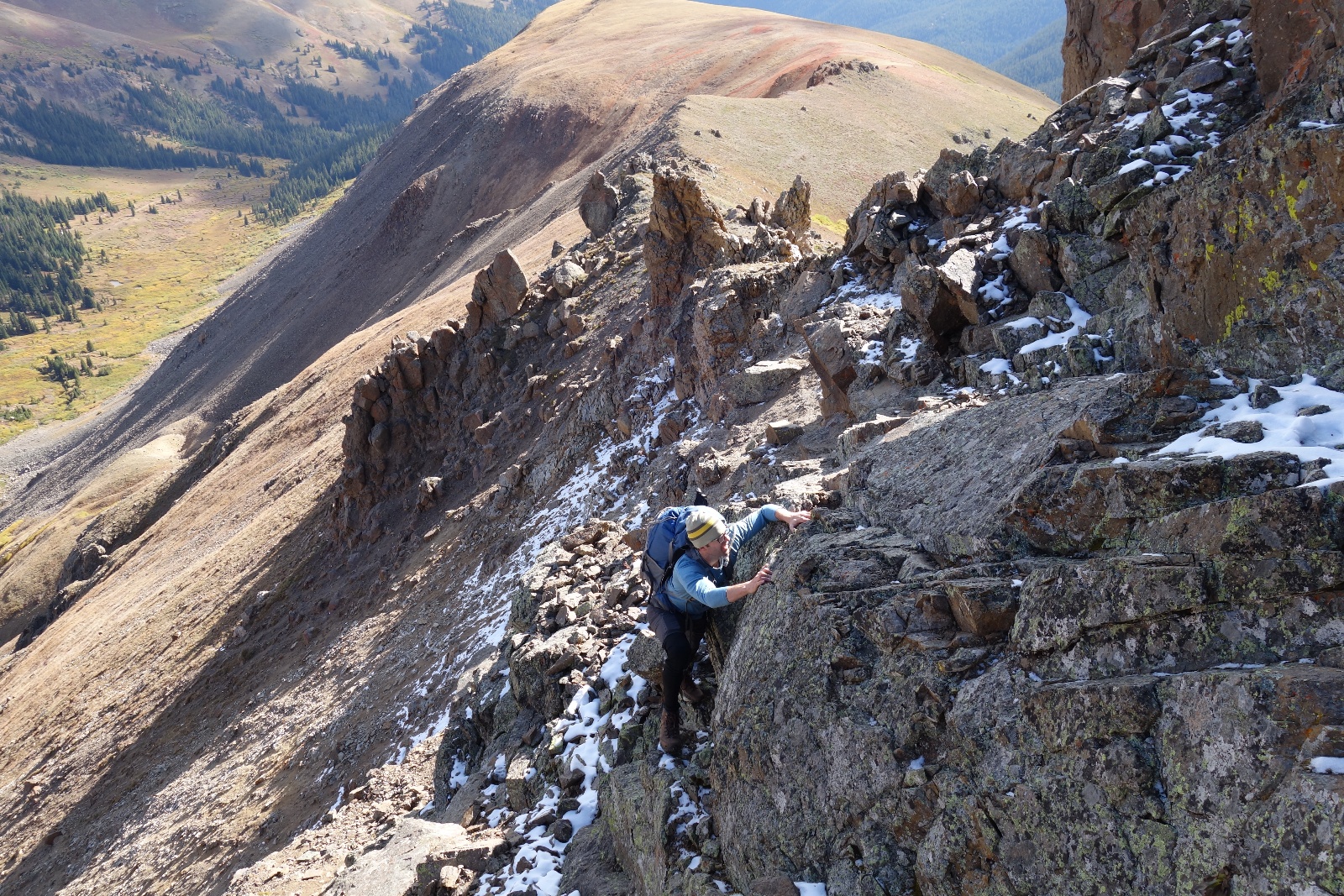
After gaining the ridge we scrambled over the first set of obstacles with little trouble.
It was the second set of obstacles that would foil our plan.
After climbing to the high point of the second obstacle (which Kristi named "Heathcliff") we decided to retreat to the standard route.
Turns out our plan was much stouter than originally thought. Upon inspection we weren't even sure if the ridge would go. The combination of intimidating terrain, uncertain weather and little beta were the factors in the decision to climb back down and bypass the ridge via the standard route.
Getting back to the standard route without dropping all of our elevation wasn't so much fun. We ended up sidehilling across a horrible scree field to the base of Garfield's northern slope. We then climbed the loose northern slope to the small saddle below the summit. The last few hunderd feet to the summit was fun scrambling on 2+ terrain.
Once on the summit it quickly became obvious that the weather was not going to allow us traverse to Grizzly. There were thick dark clouds in every direction. We opted to decend our ascent route back to the basin and back to camp.
Our route was a little over 7 miles and 3600 feet. It took us 6.5 hours.
Partners: Kristi Henes, Jim Griffiths
Here is a link for the GPX file from our trip.
![Garfield 00]()
Our route was a little over 7 miles and 3600 feet. It took us 6.5 hours.
![Garfield 01]()
Grizzly Peak A
![Garfield 02]()
Kristi and Jim gaining Garfield's East Ridge
![Garfield 03]()
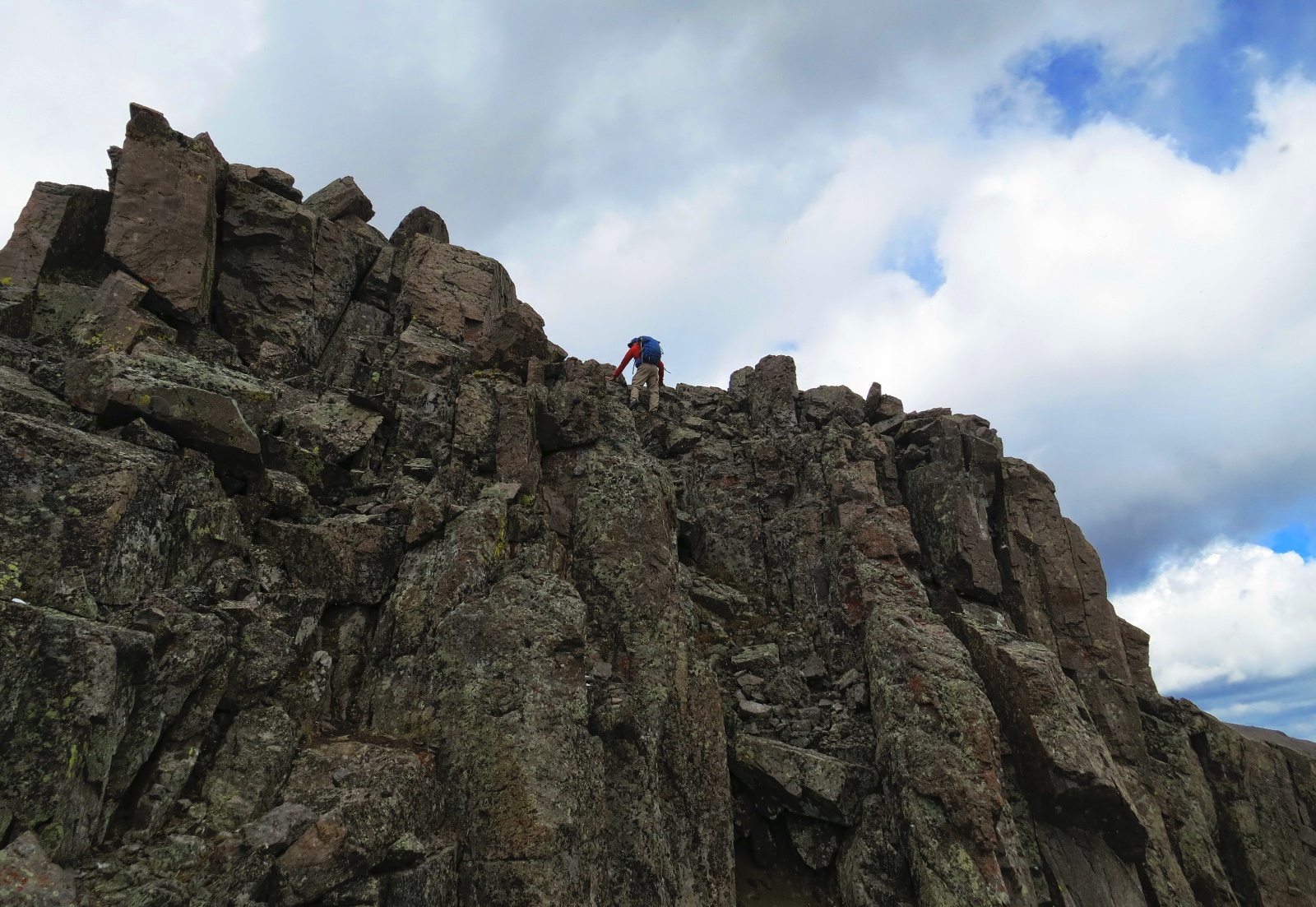
Jim scrambling on the first set of ridge obstacles
![Garfield 04]()
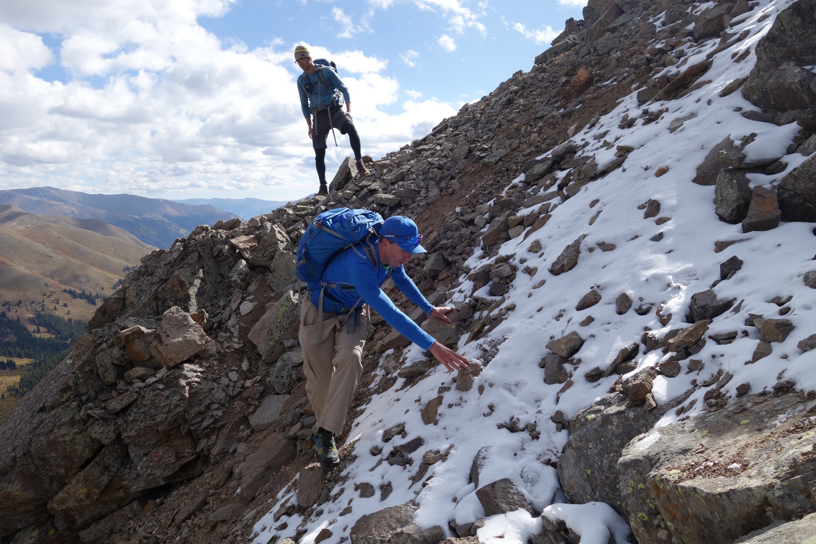
Alex gingerly navigating slippery and loose terrain. Jim scopes the consequences
![Garfield 05]()
Alex scrambling on the first set of ridge obstacles
![Garfield 06]()
Kristi and Jim on the first set of ridge obstacles
![Garfield 07]()
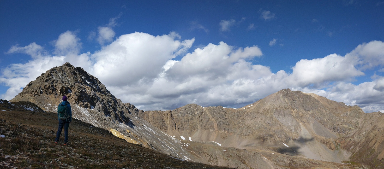
Kristi taking in the views of Garfield's second ridge obstacle the the ridge to Grizzly
![Garfield 08]()
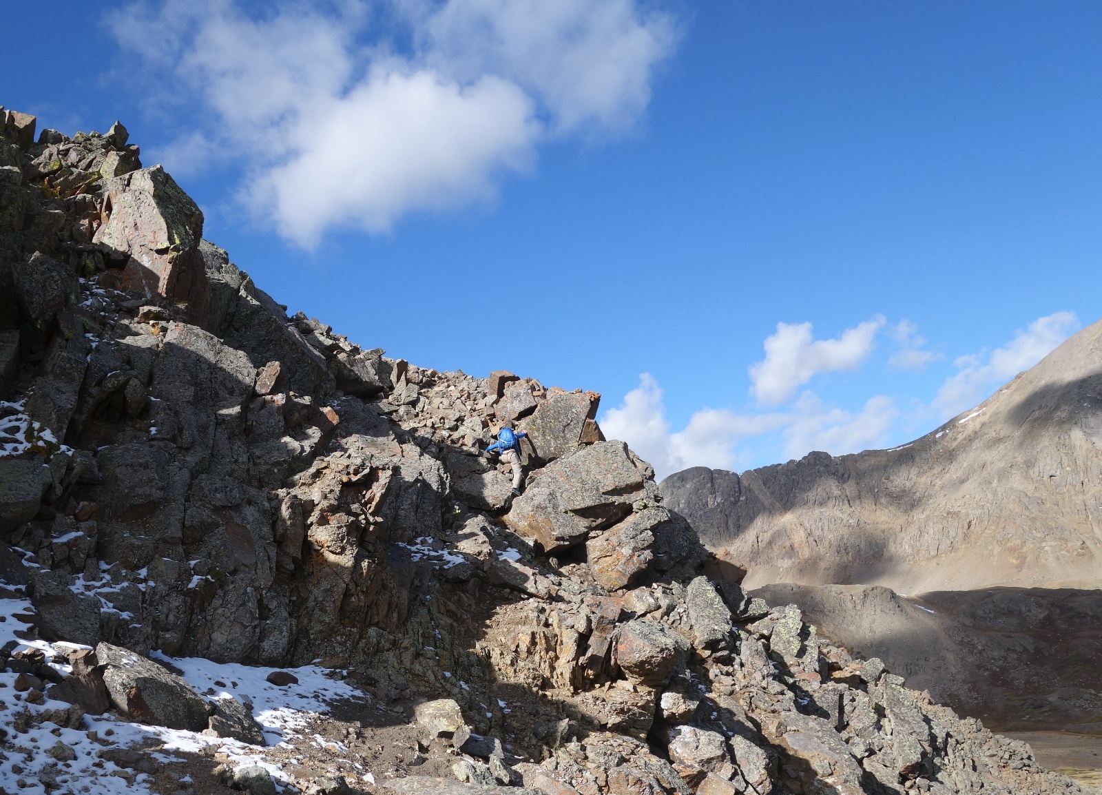
Alex and Jim approach the second ridge obstacle. We would climb to the high point before deciding to change route.
![Garfield 09]()
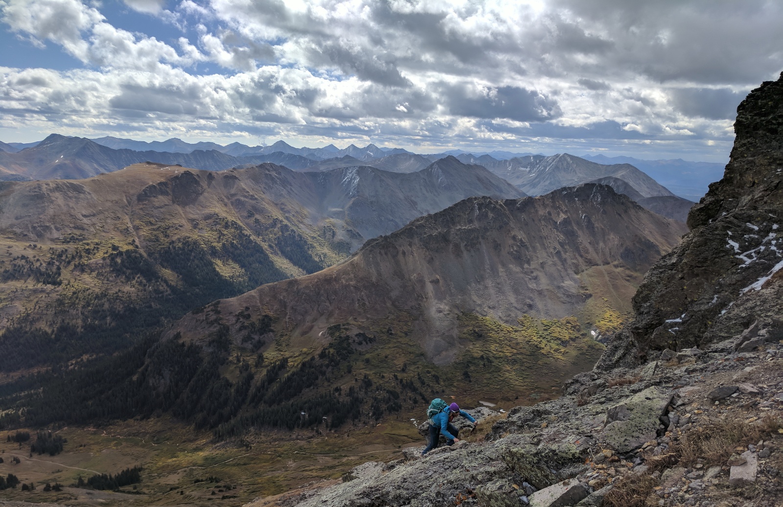
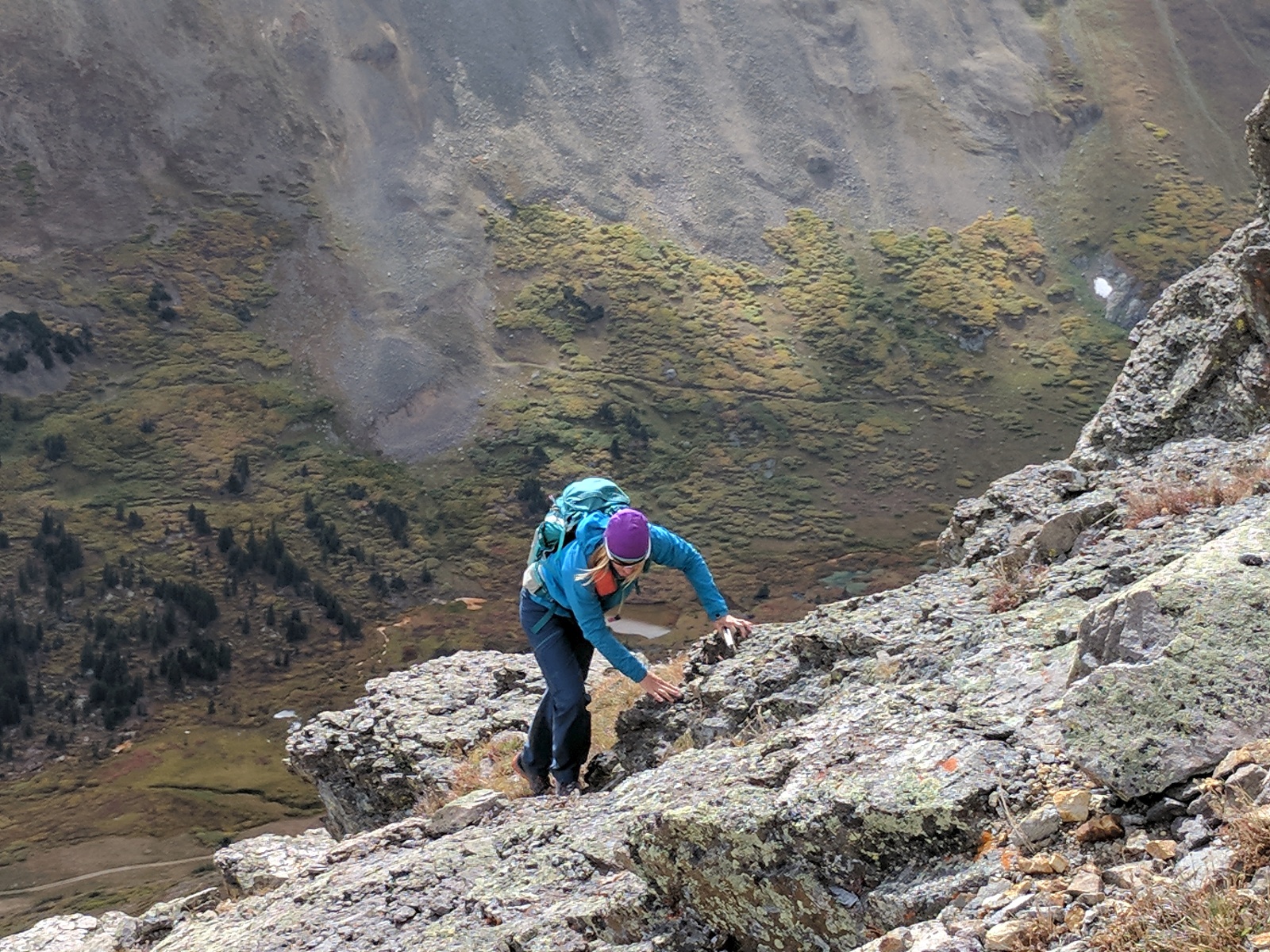
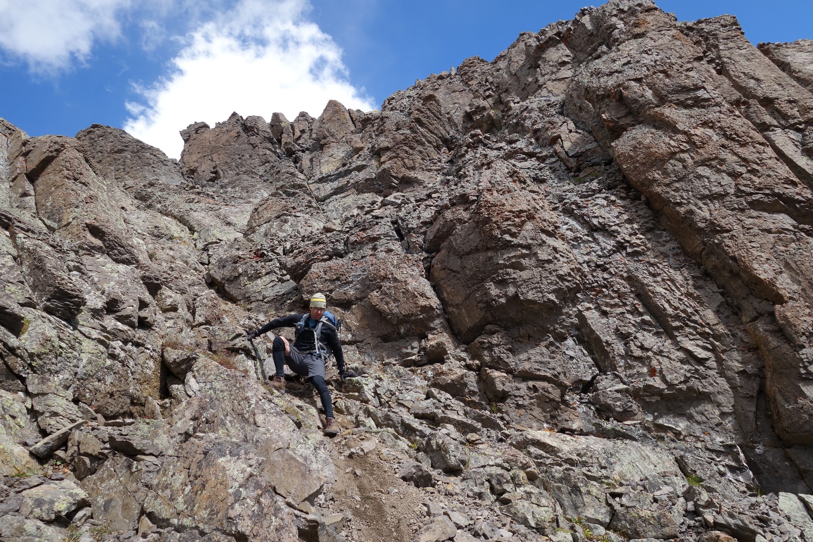
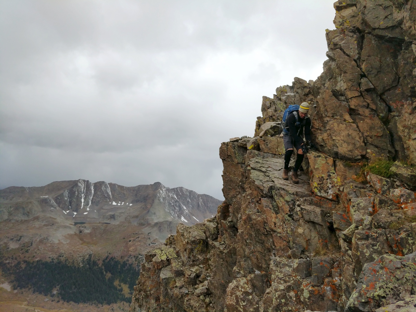
Kristi on Garfield's second ridge obstacle
![Garfield 10]()
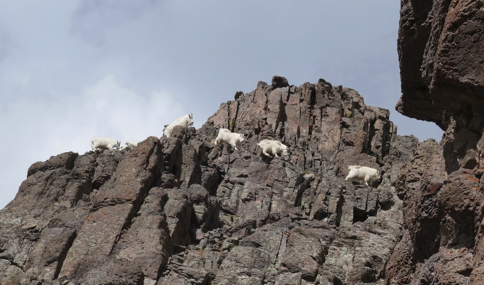
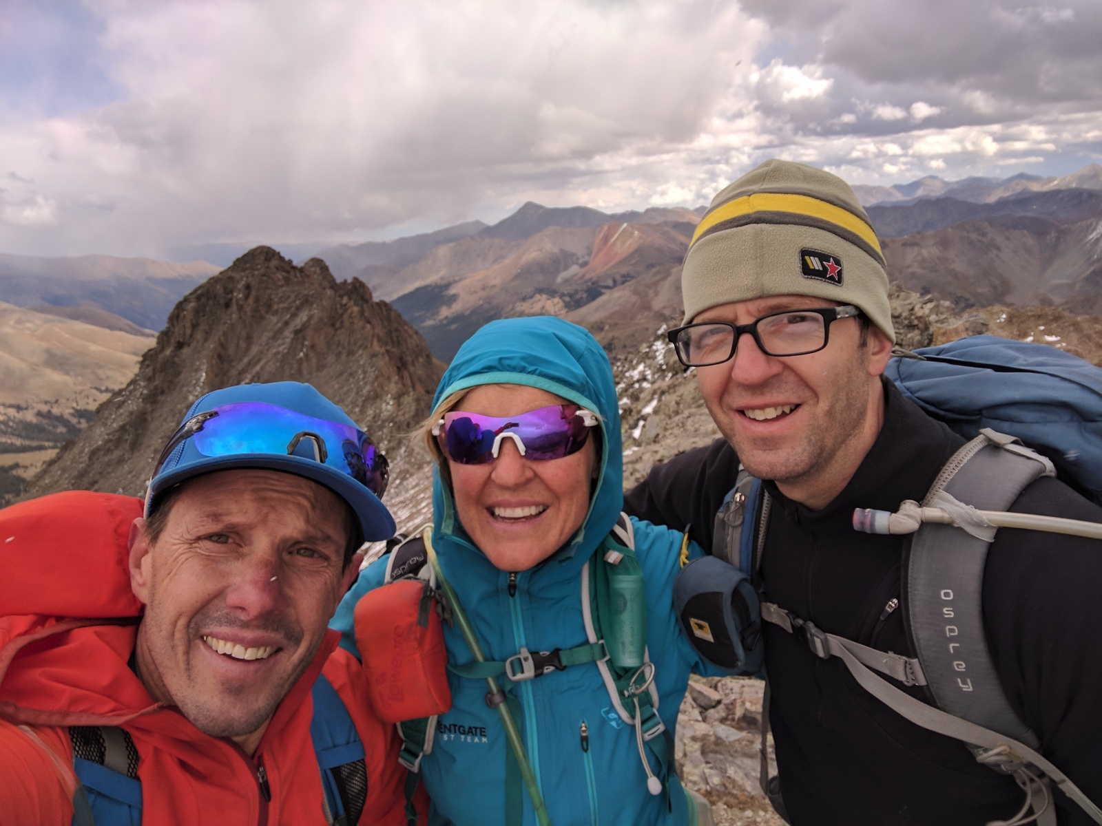
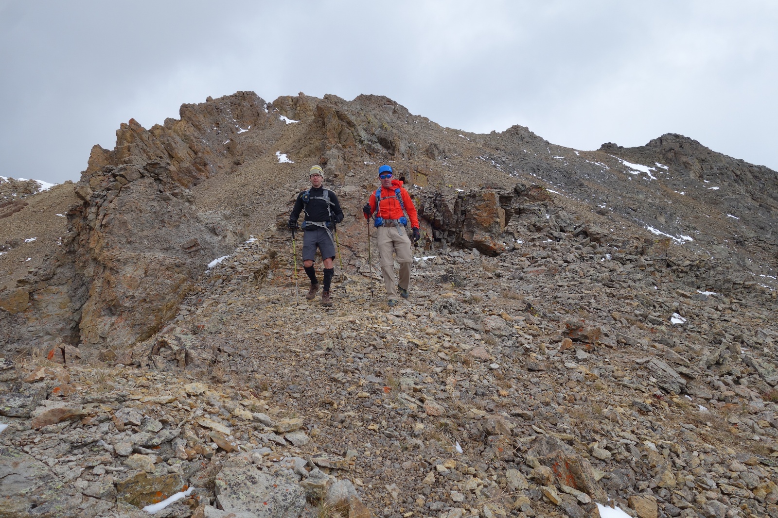
Friends
![Garfield 11]()
Kristi on Garfield's second ridge obstacle
![Garfield 11d]()
Alex scouting the traverse across the second ridge obstacle. The combination of intimidating terrain, uncertain weather and little beta were the factors in the decision to climb back down and bypass the ridge via the standard route.
![Garfield 12]()
Jim down climbing the second ridge obstacle
![Garfield 13]()
Jim on Garfield's summit
![Garfield 14]()
Tres Amigos
![Garfield 15]()
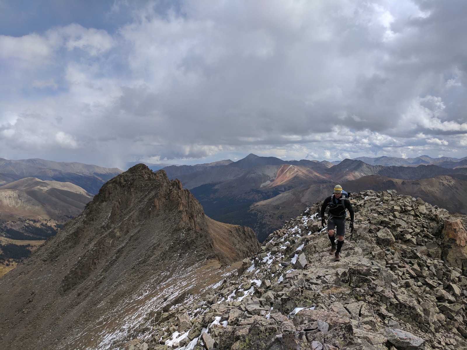
Jim descending from Garfield's summit. Anderson Peak (we climbed the day before) in the distance (left)
![Garfield 16]()
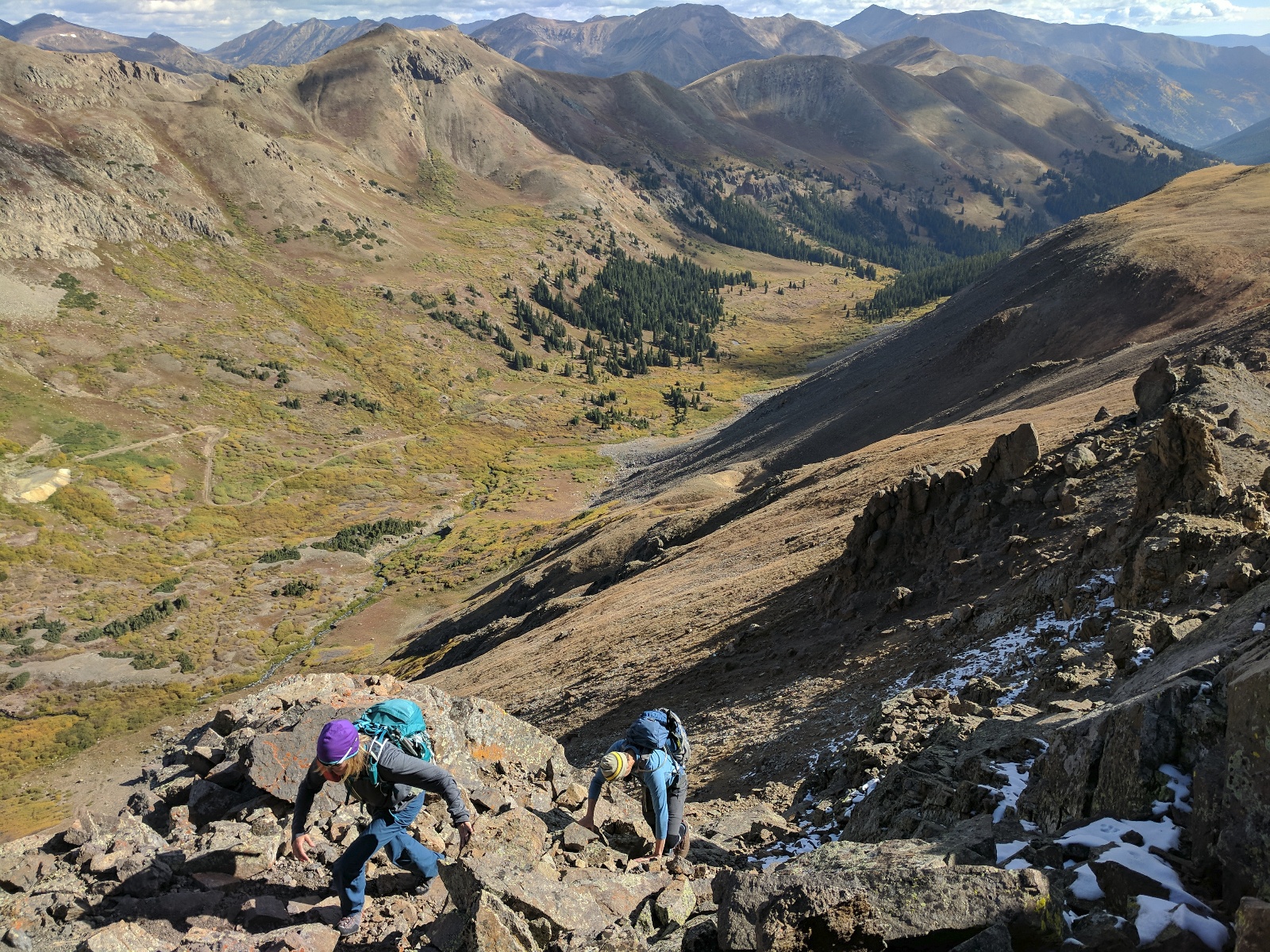
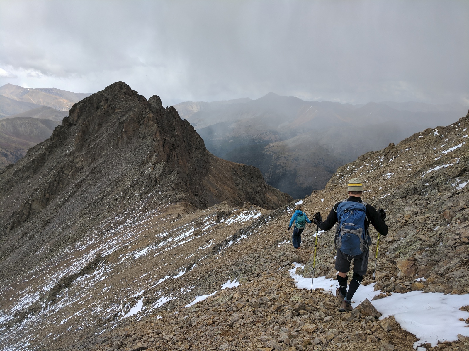
Jim and Kristi descending Garfield
![Garfield 17]()
Alex and Jim descending Garfield
![Garfield 19]()
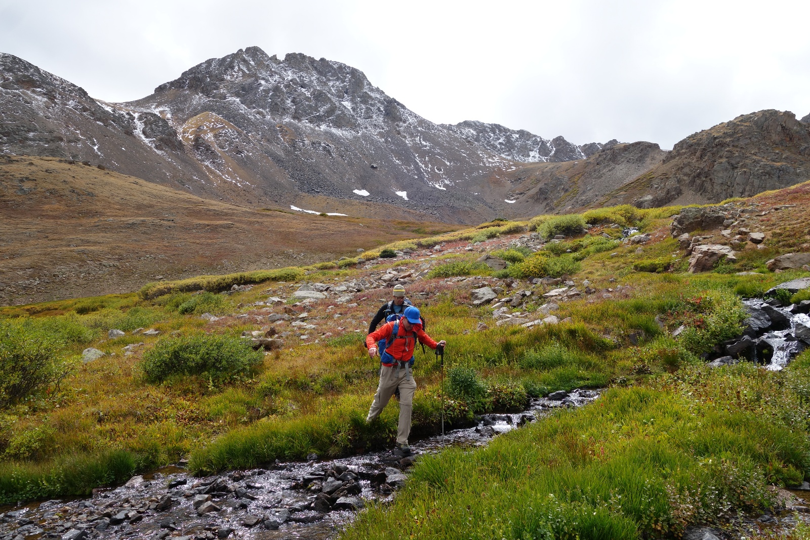
Alex and Jim making way back to camp. Garfield's second ridge obstacle in the distance.