United States Mountain
Date: 08/02/2024
Partner: Kristi Henes
Trailhead: Upper Camp Bird Mine CR26A (4x4 required)
Distance: 4.7m
Elevation Gain: 2450ft
Duration: 4hrs 40min
GPX
United States Mountain 14ers.com Page
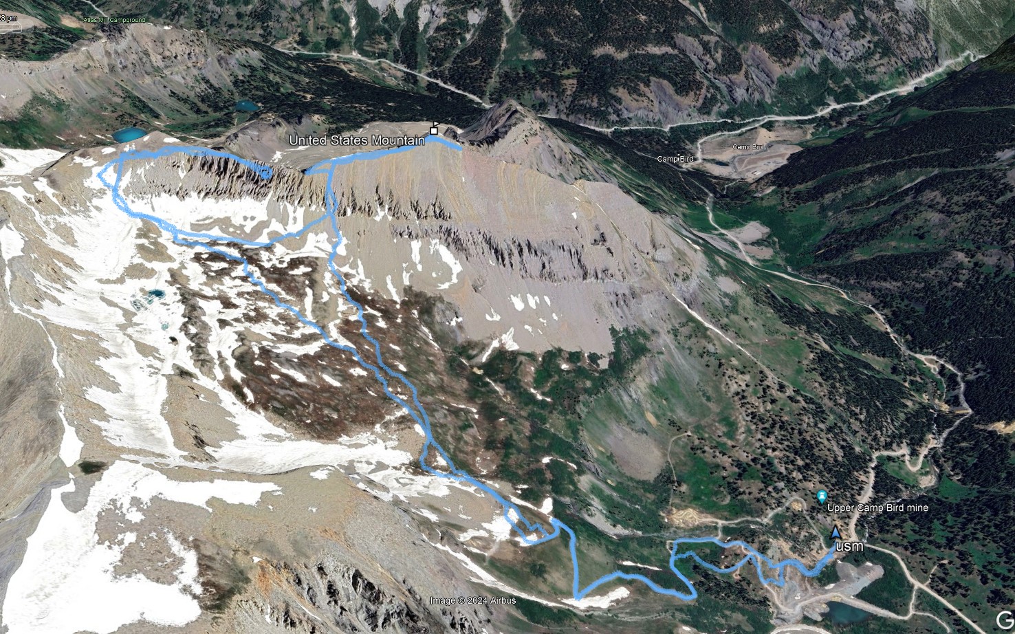
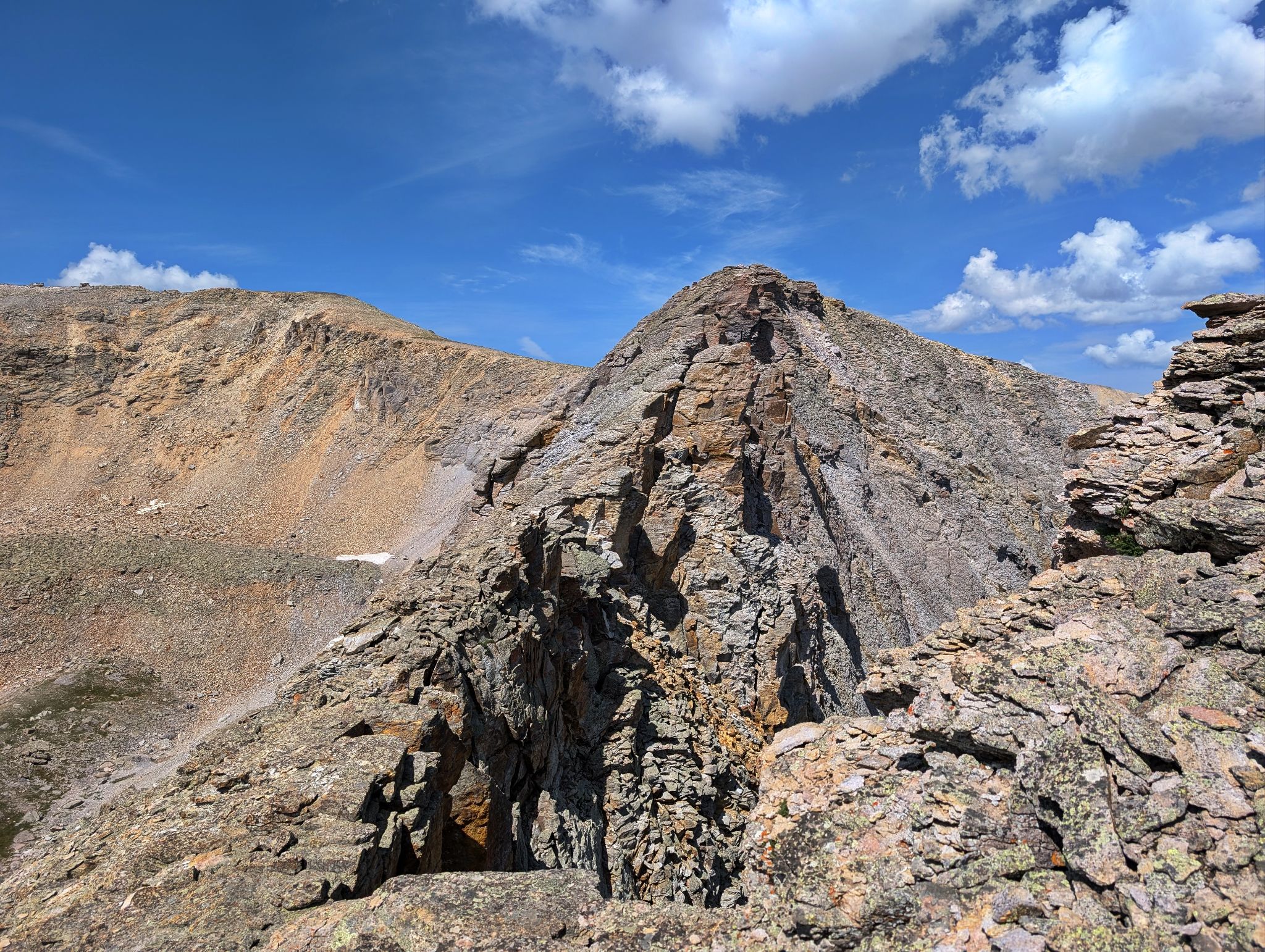
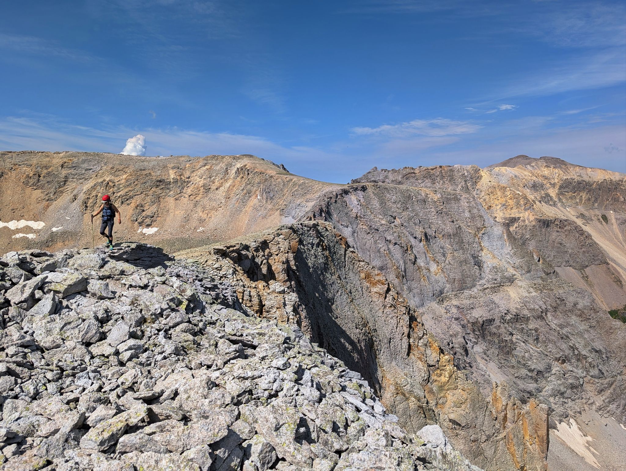
We were hoping to summit United States via the west ridge however after getting most of the way across, our route options were not great. The terrain was steep, exposed and loose. After exploring various options, we decided to retrace our path down and find a route from the summit side of the ridge.
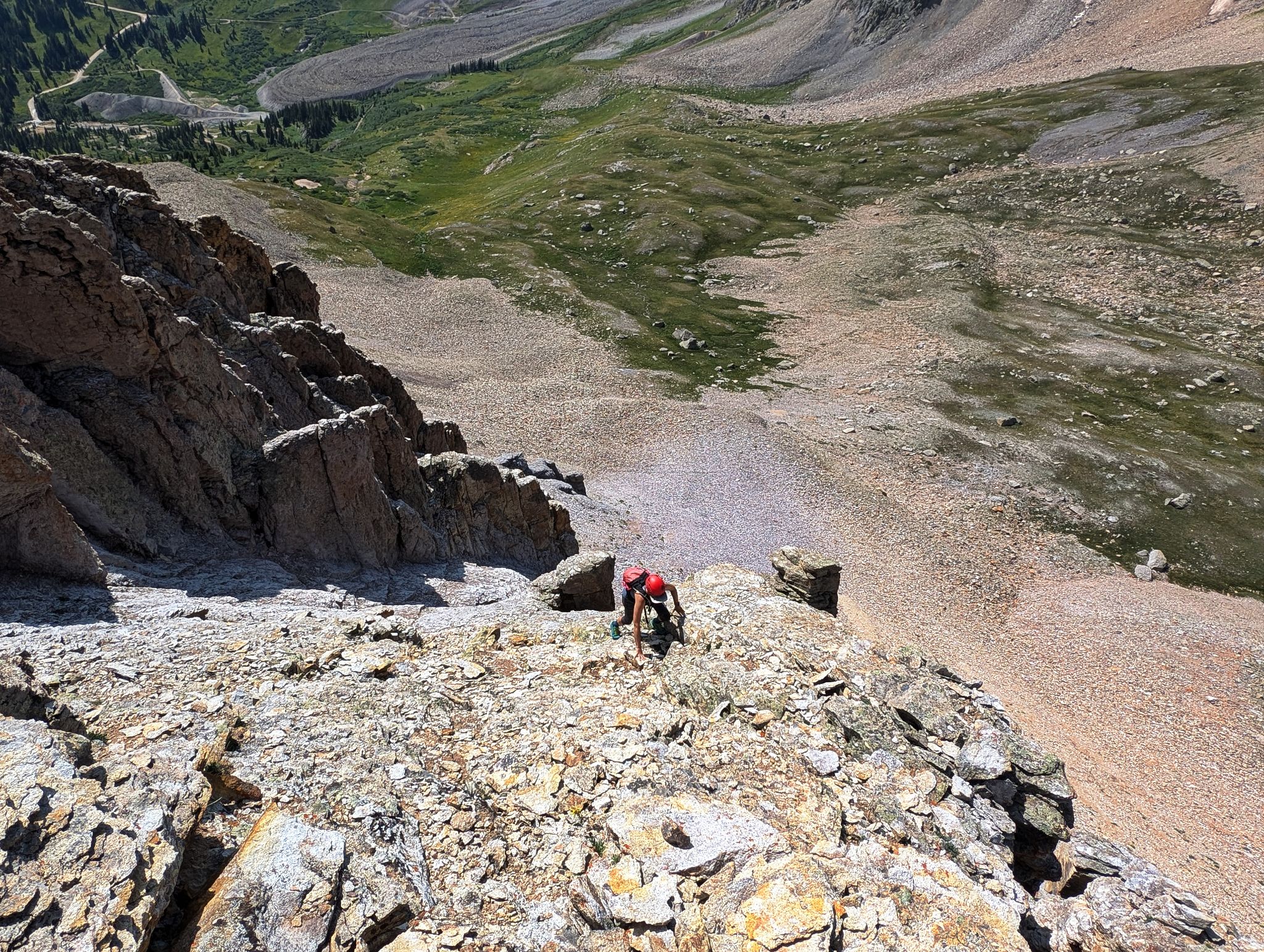
After contouring around the the south side of the mountain we found a somewhat reasonable route up the mountain. Our route was much better than the ridge but still loose and steep... descending was especially tedious.
Although the summit views were great I can't say I will go back to United States Mountain.
Would love to hear if you find a better route up this choss factory than we did.
![United states mountain 00]()
4.7m - 2450ft - 4hrs 40min
![United states mountain 01]()
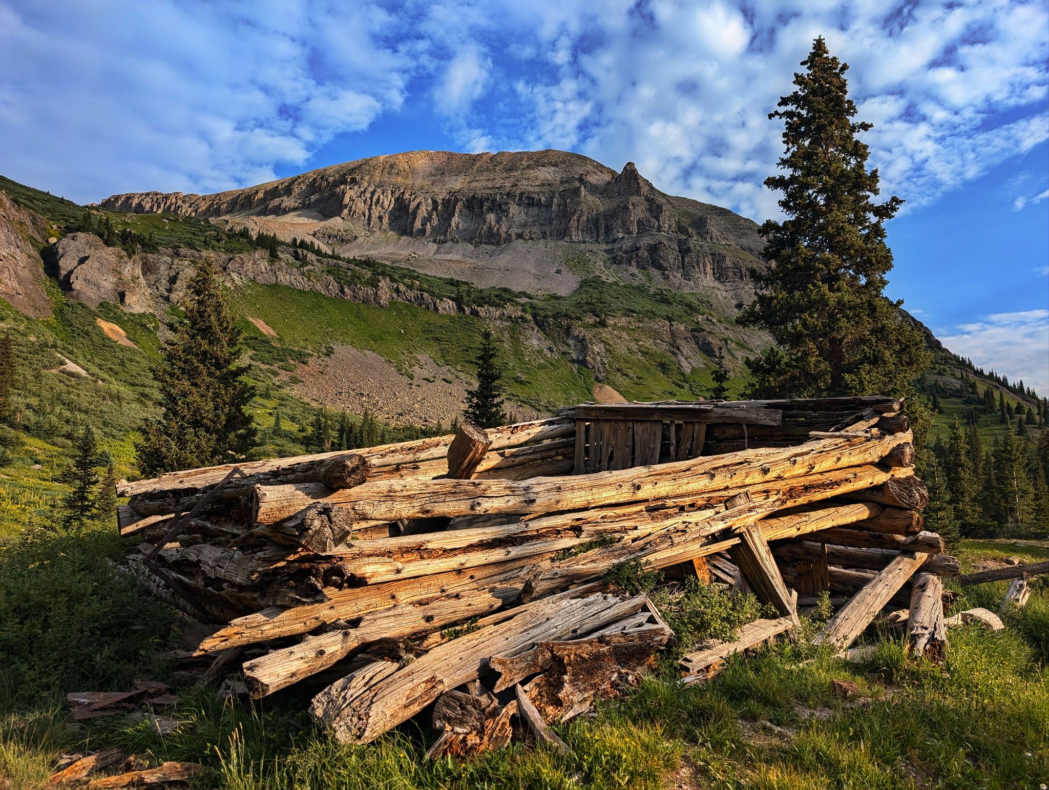
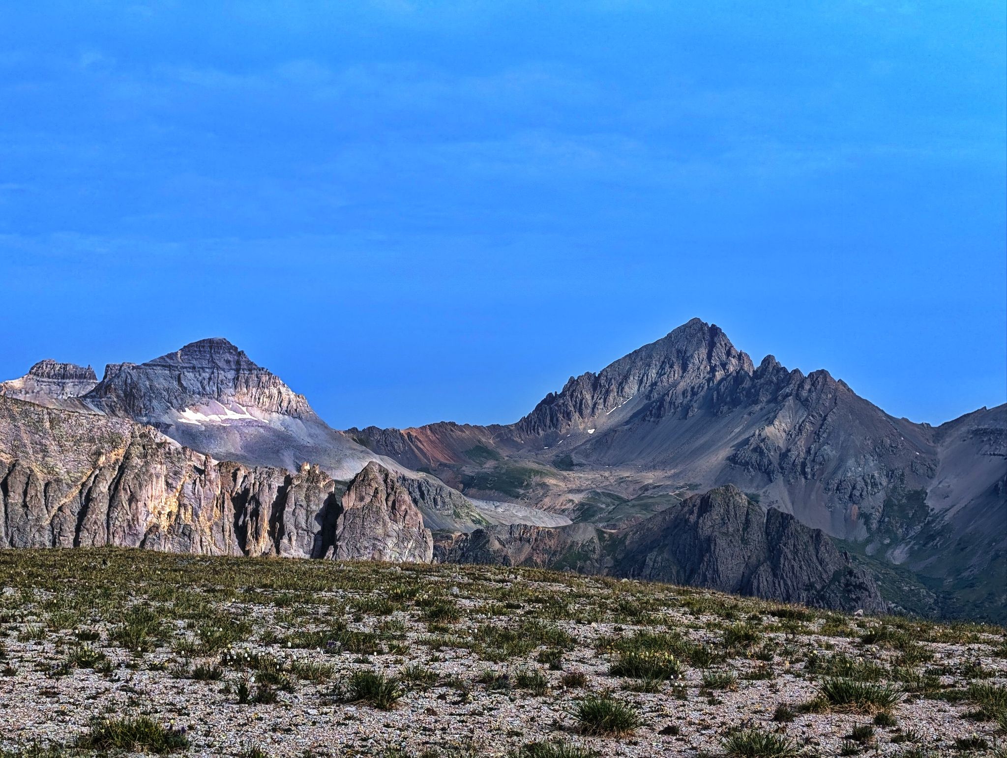
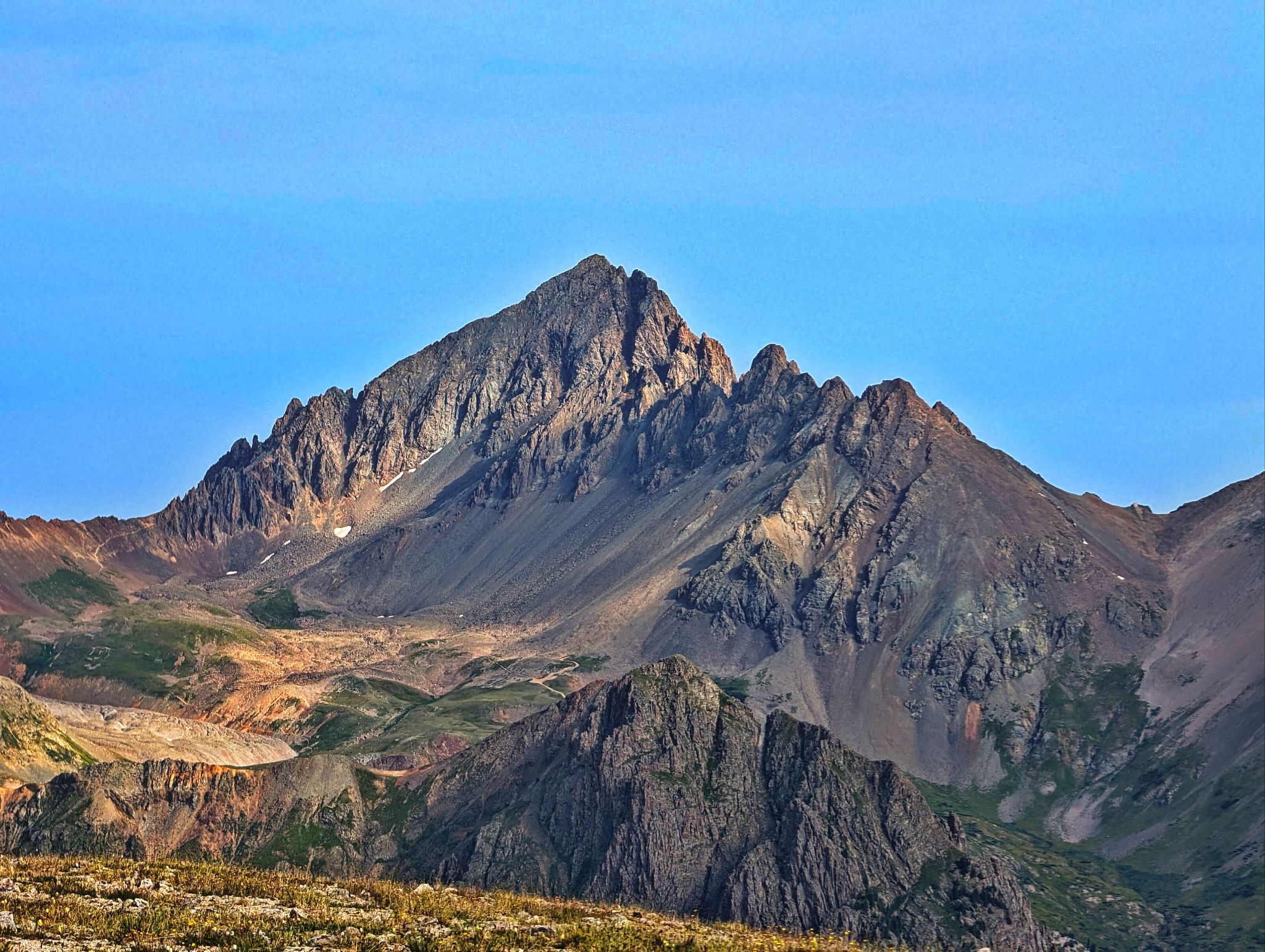
United States Mountain above Hidden Treasure Mine ruins
![United states mountain 02]()
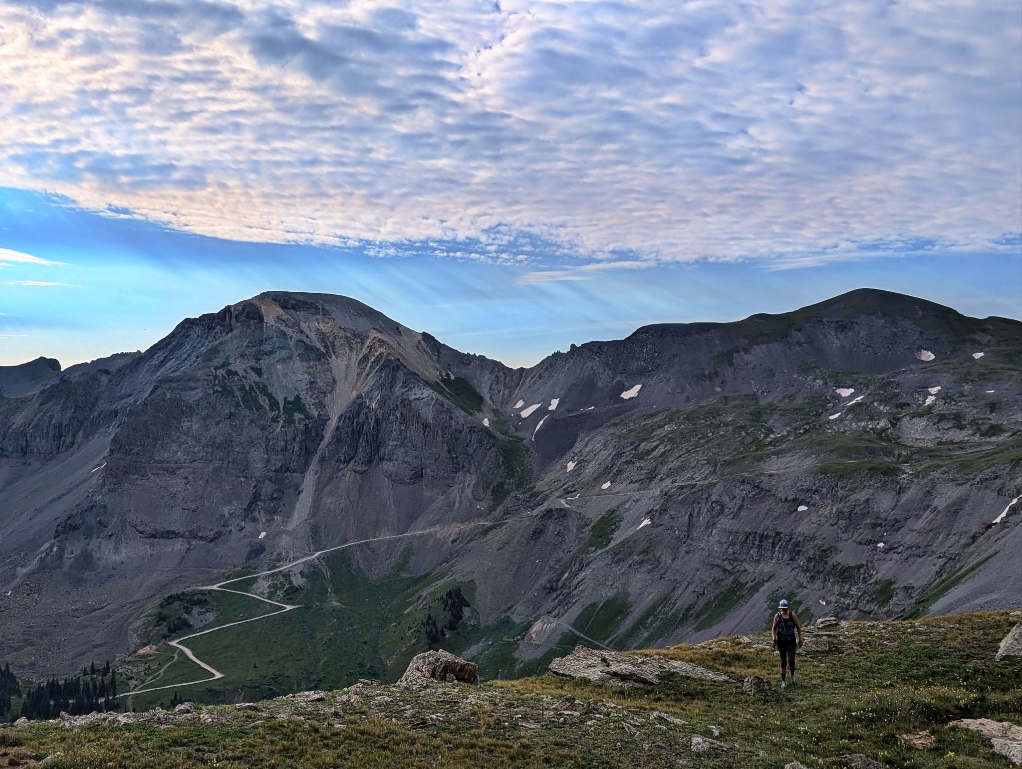
Approaching with T7 & T8 behind
![United states mountain 03]()
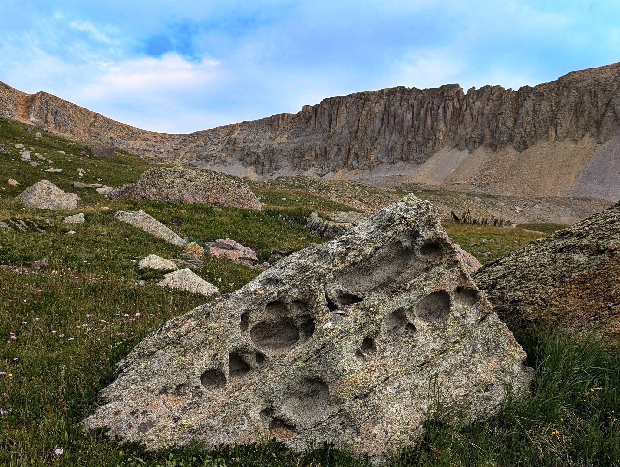
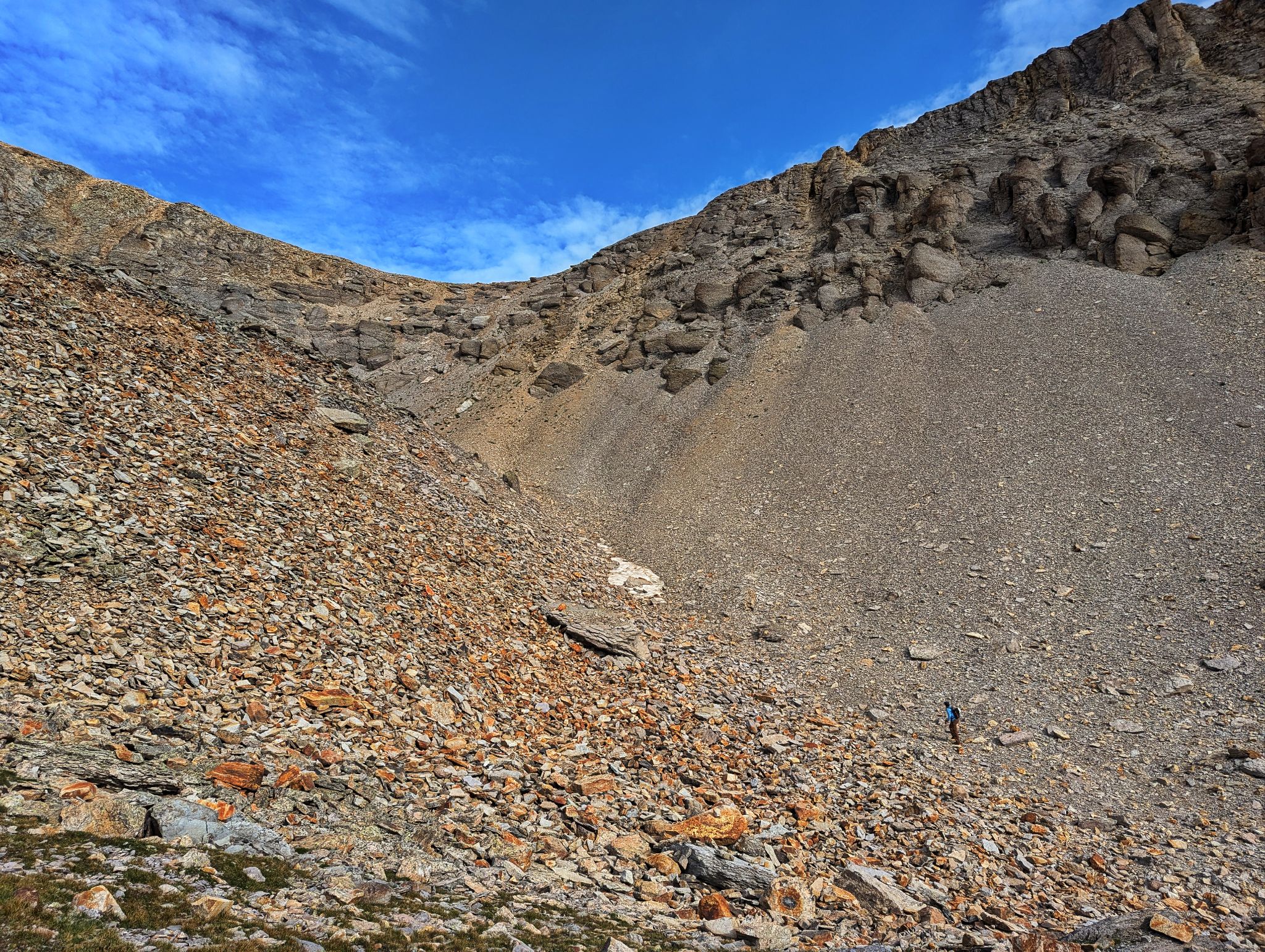
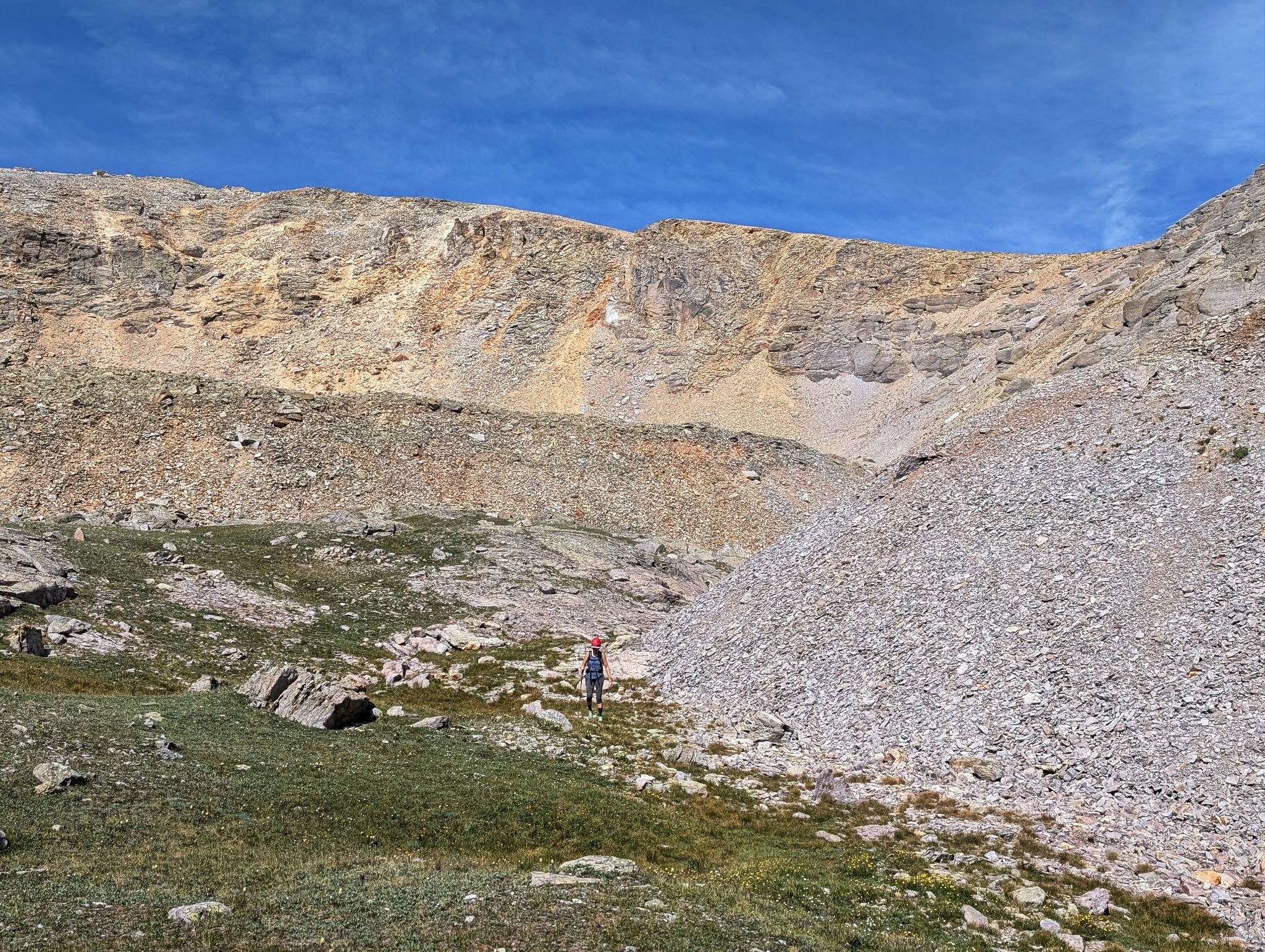
Dinosaur skull? We ascended to the saddle - It was somewhat loose (but not too bad)
![United states mountain 04]()
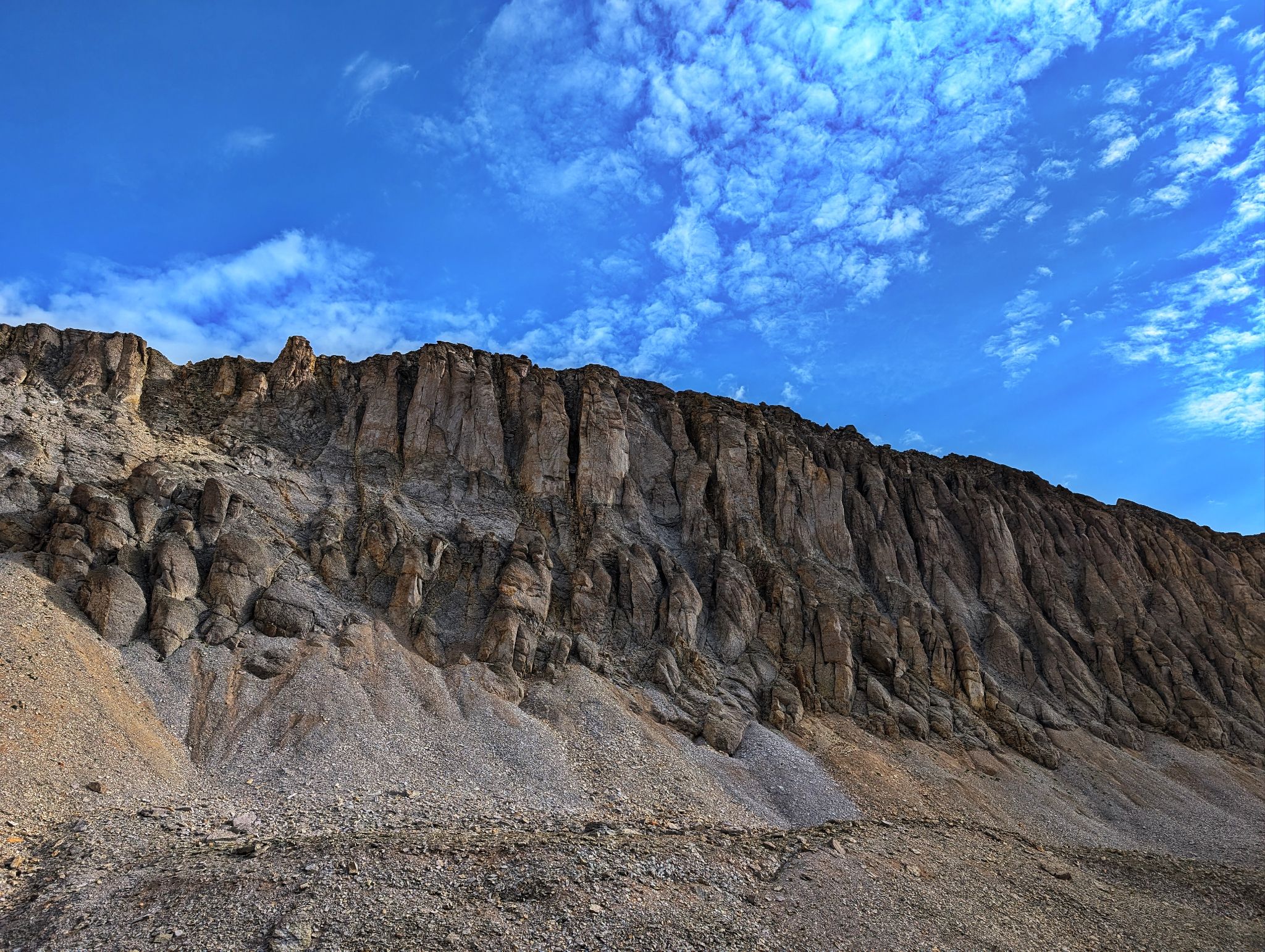
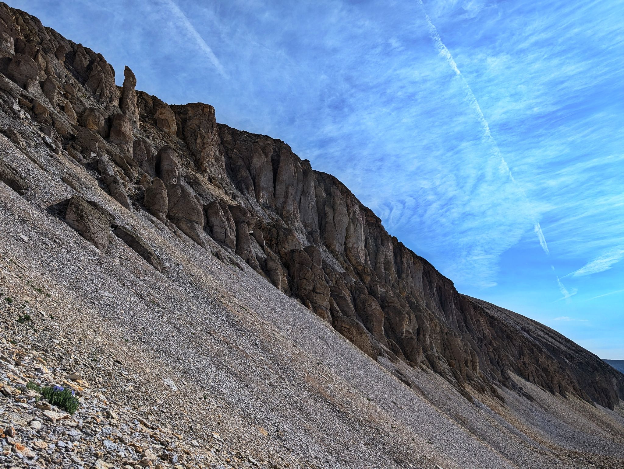
United States Mountain looking like a carcass
![United states mountain 05]()
Up to the saddle
![United states mountain 06]()
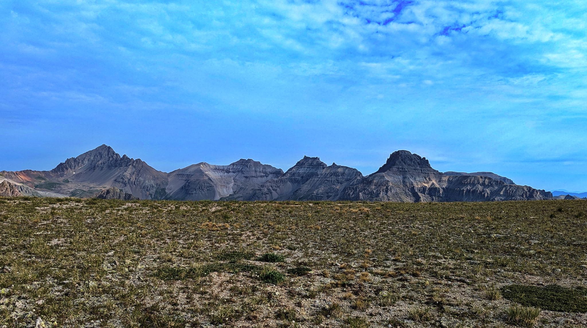
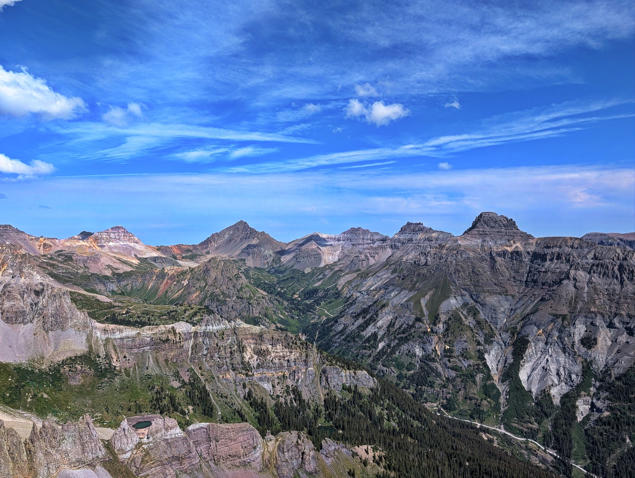
Yankee Boy views from the saddle. L2R: Sneffels, Kismet, Cirque, Teakettle, Coffeepot, Potosi
![United states mountain 07]()
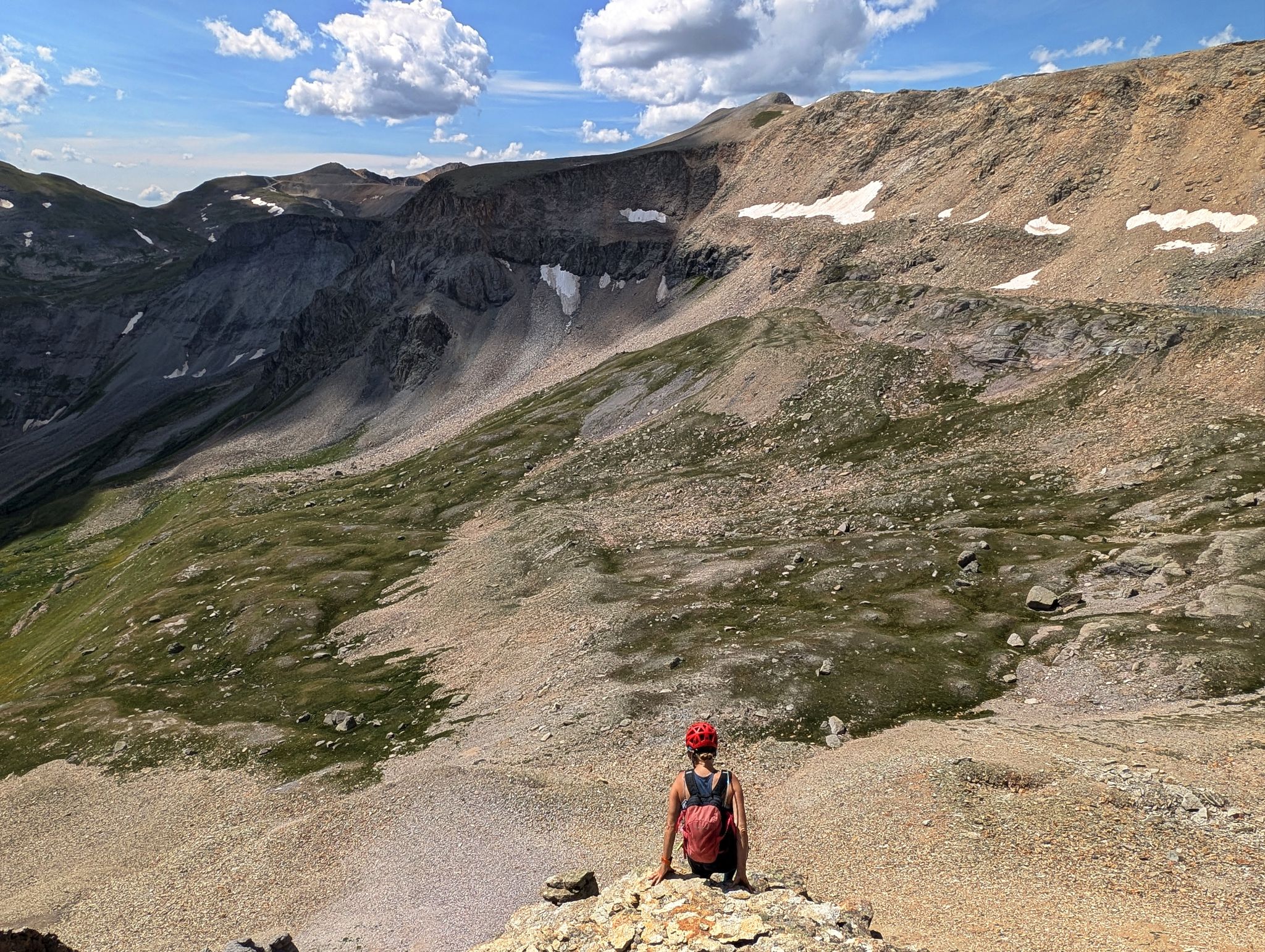
Taking in the views before taking on the ridge
![United states mountain 08]()
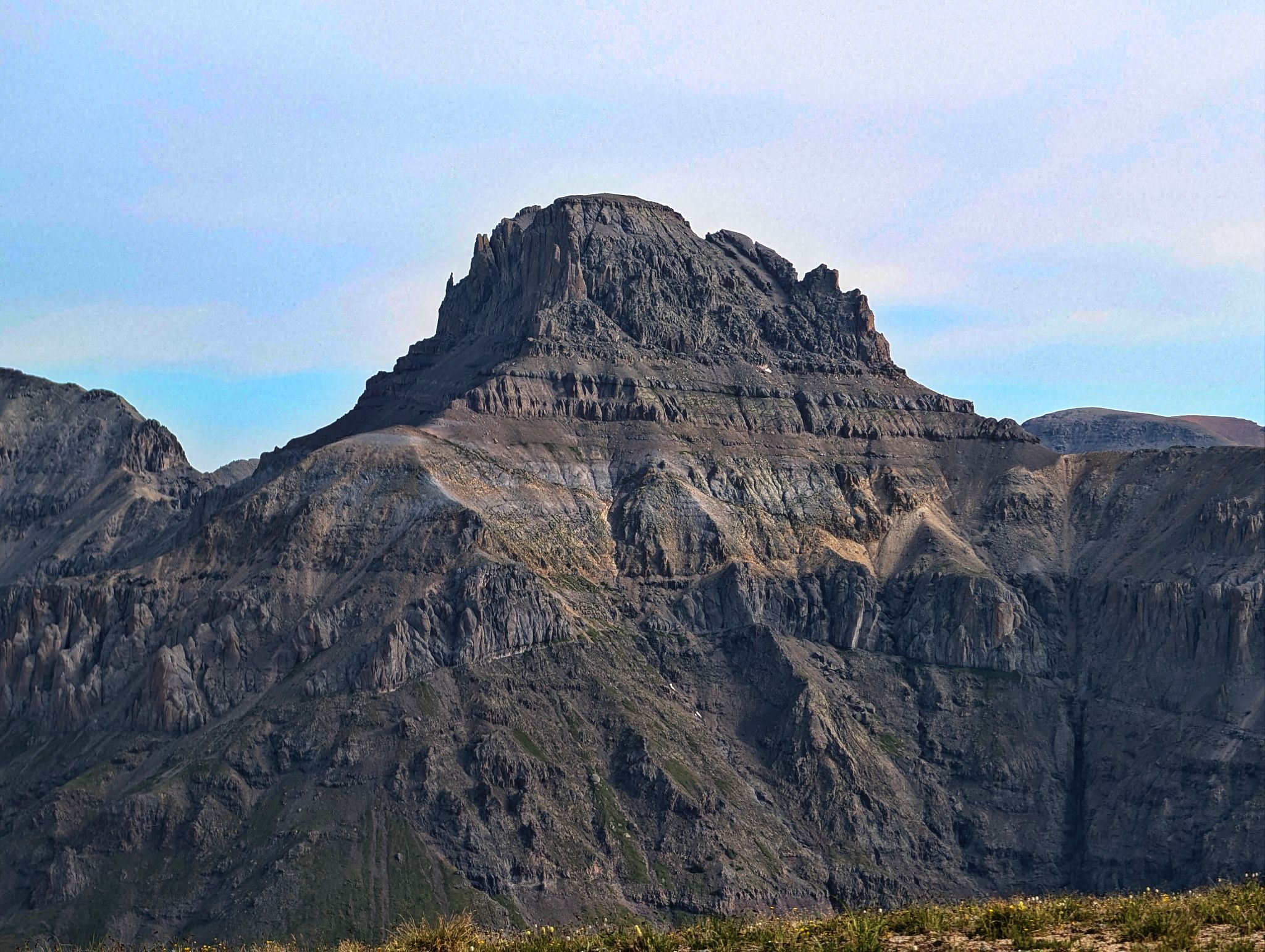
Gilpin and Sneffels
![United states mountain 09]()
Sneffels and Kismet above Stony Mountain
![United states mountain 10]()
Potosi lookin like a boss
![United states mountain 11]()
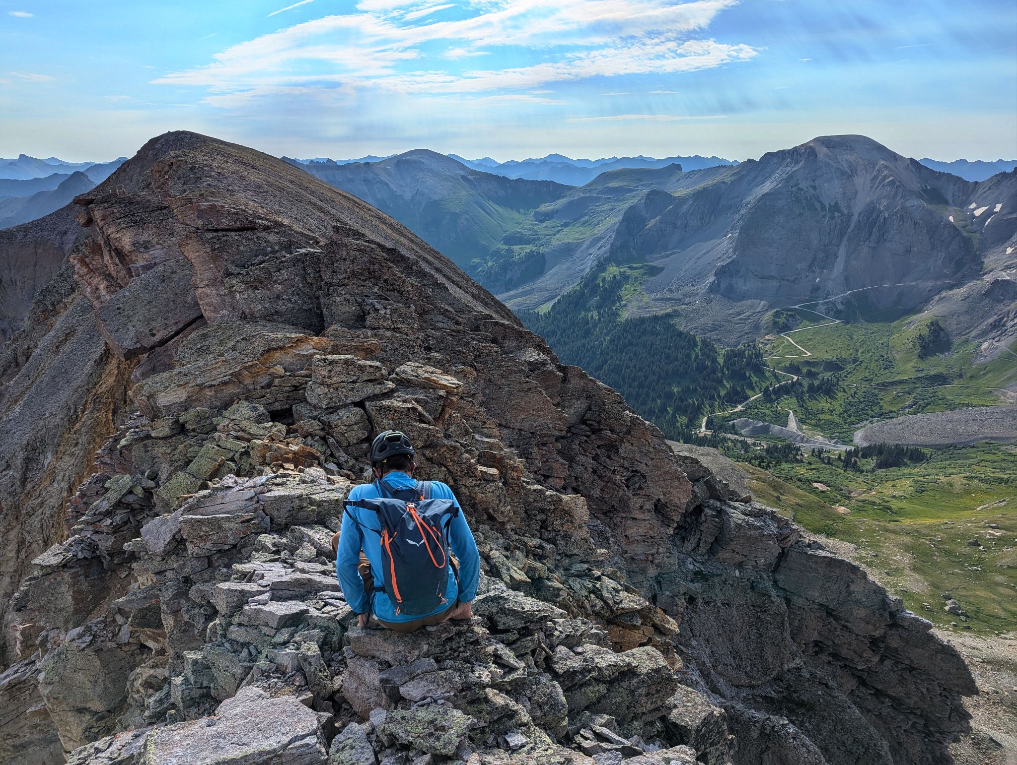
At first the ridge didn't seem too bad. You could almost reach out and touch the other side
![United states mountain 12]()
![United states mountain 13]()
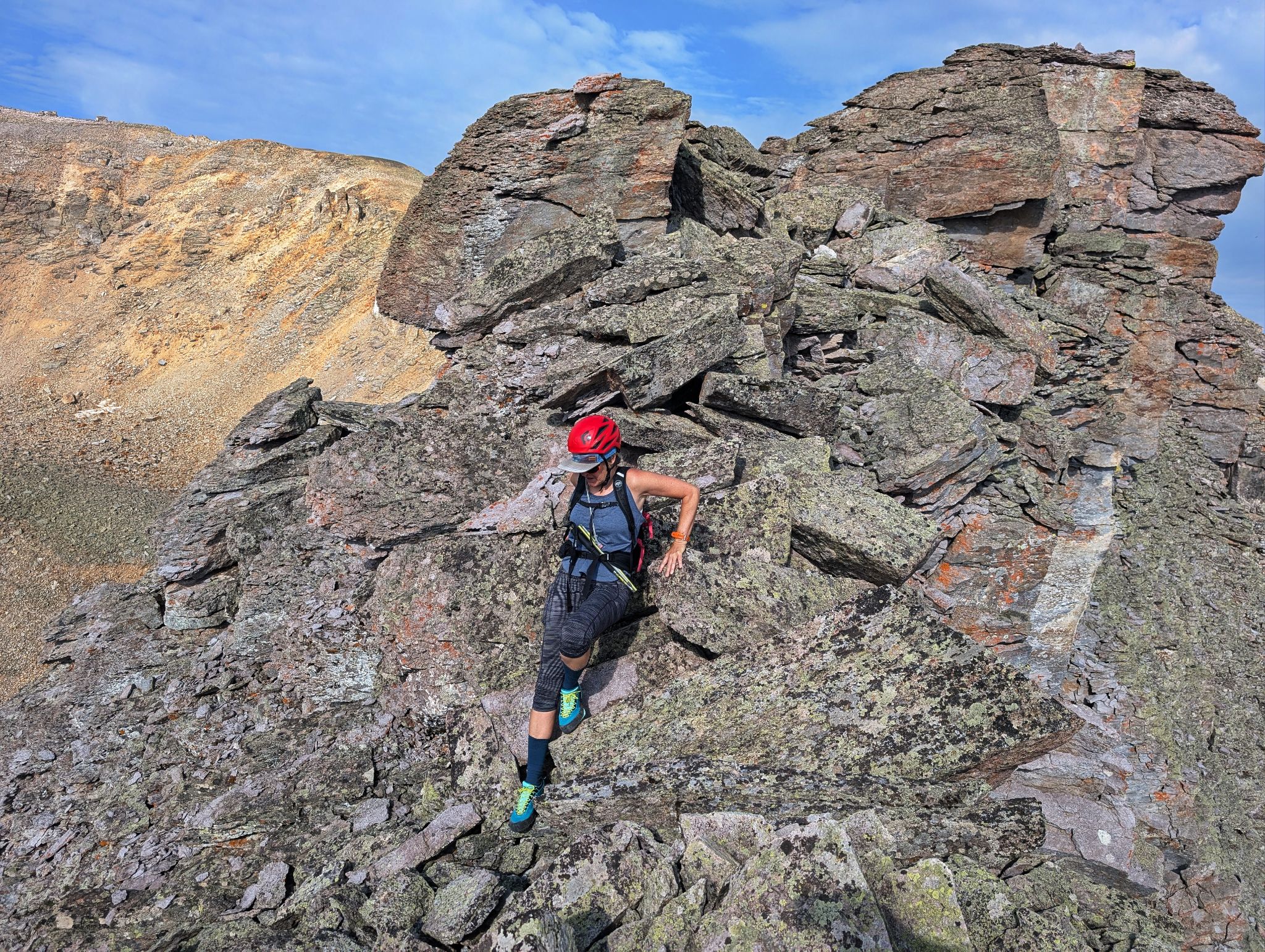
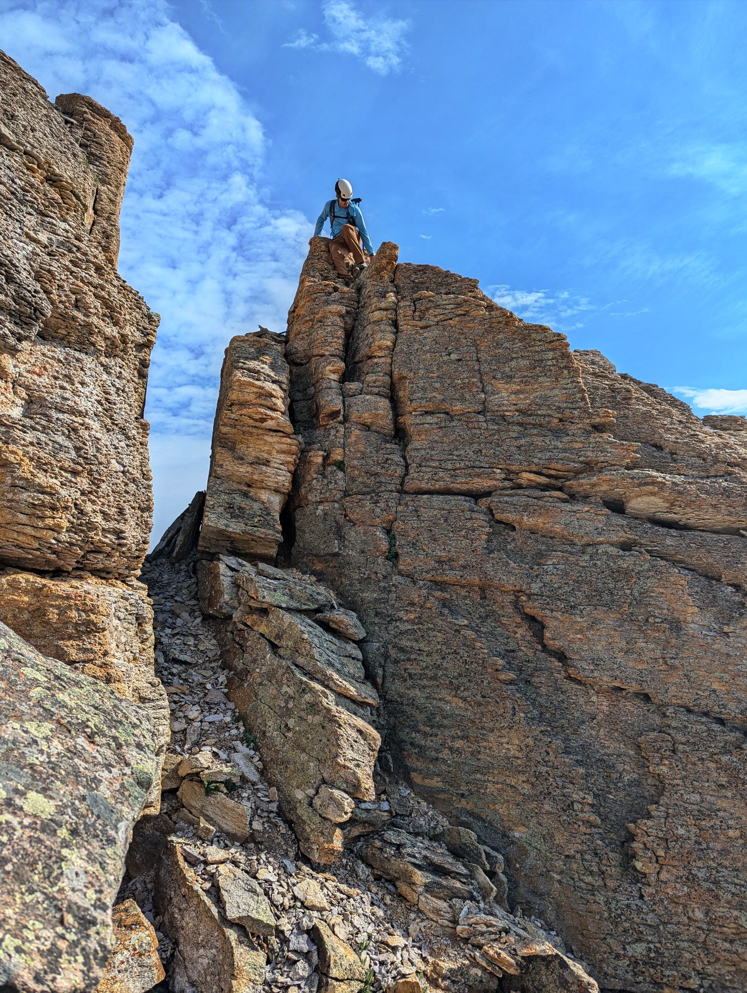
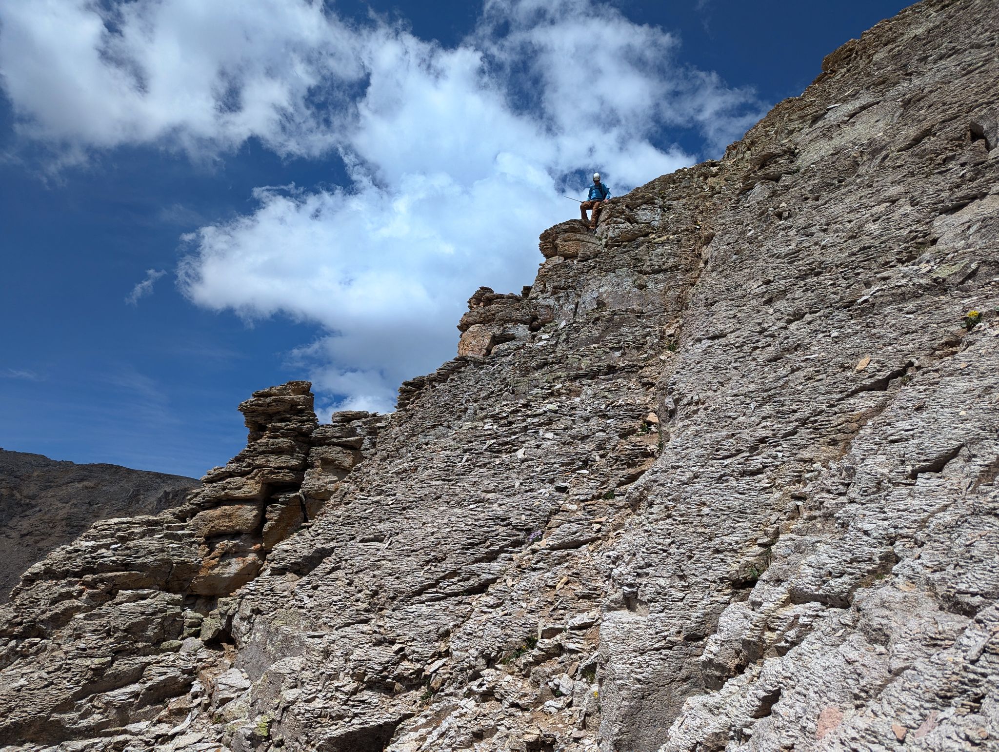
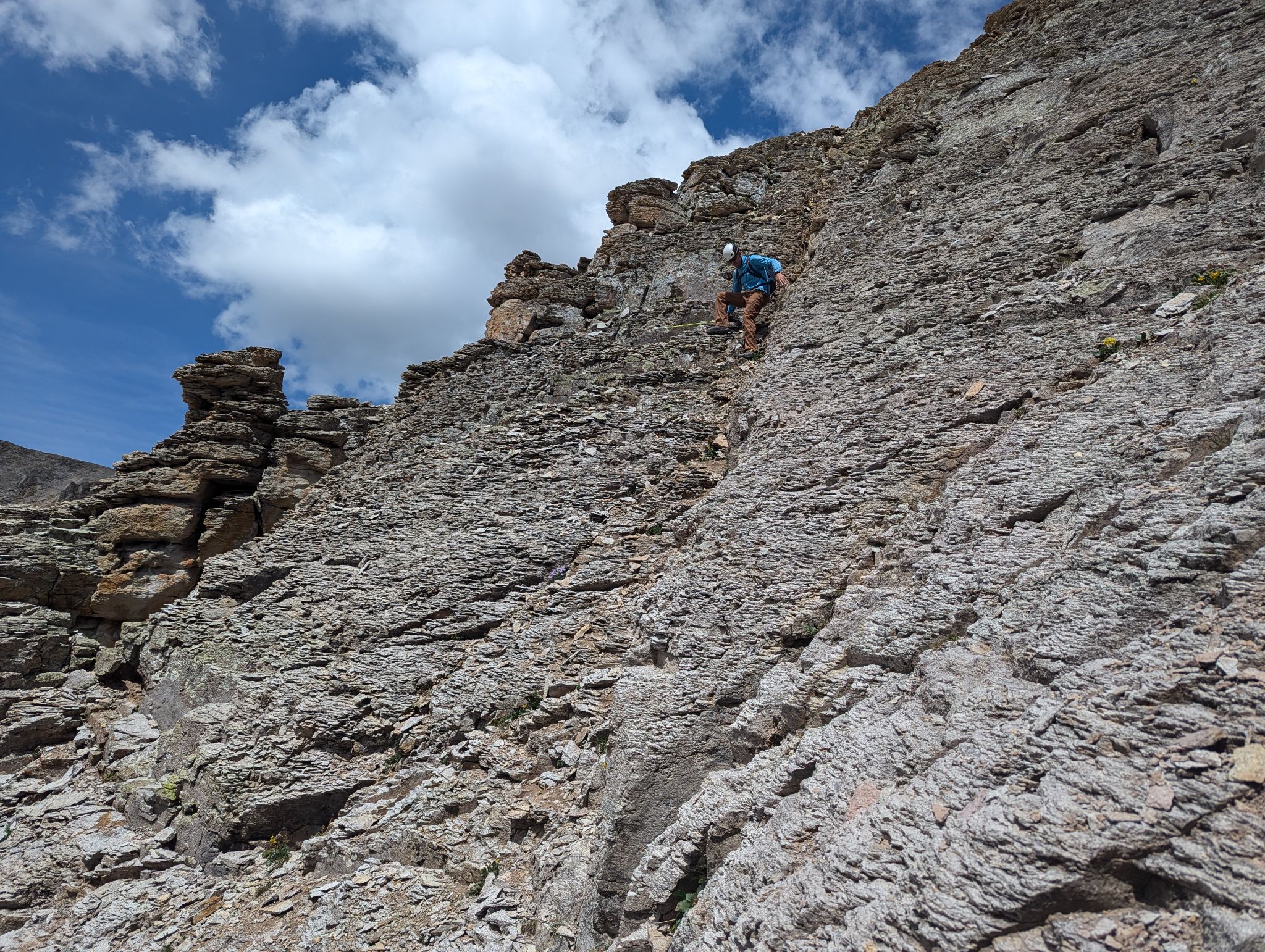
Things started to get loose and steep. Dinner plates peeling off the top of seemingly solid rock
![United states mountain 14]()
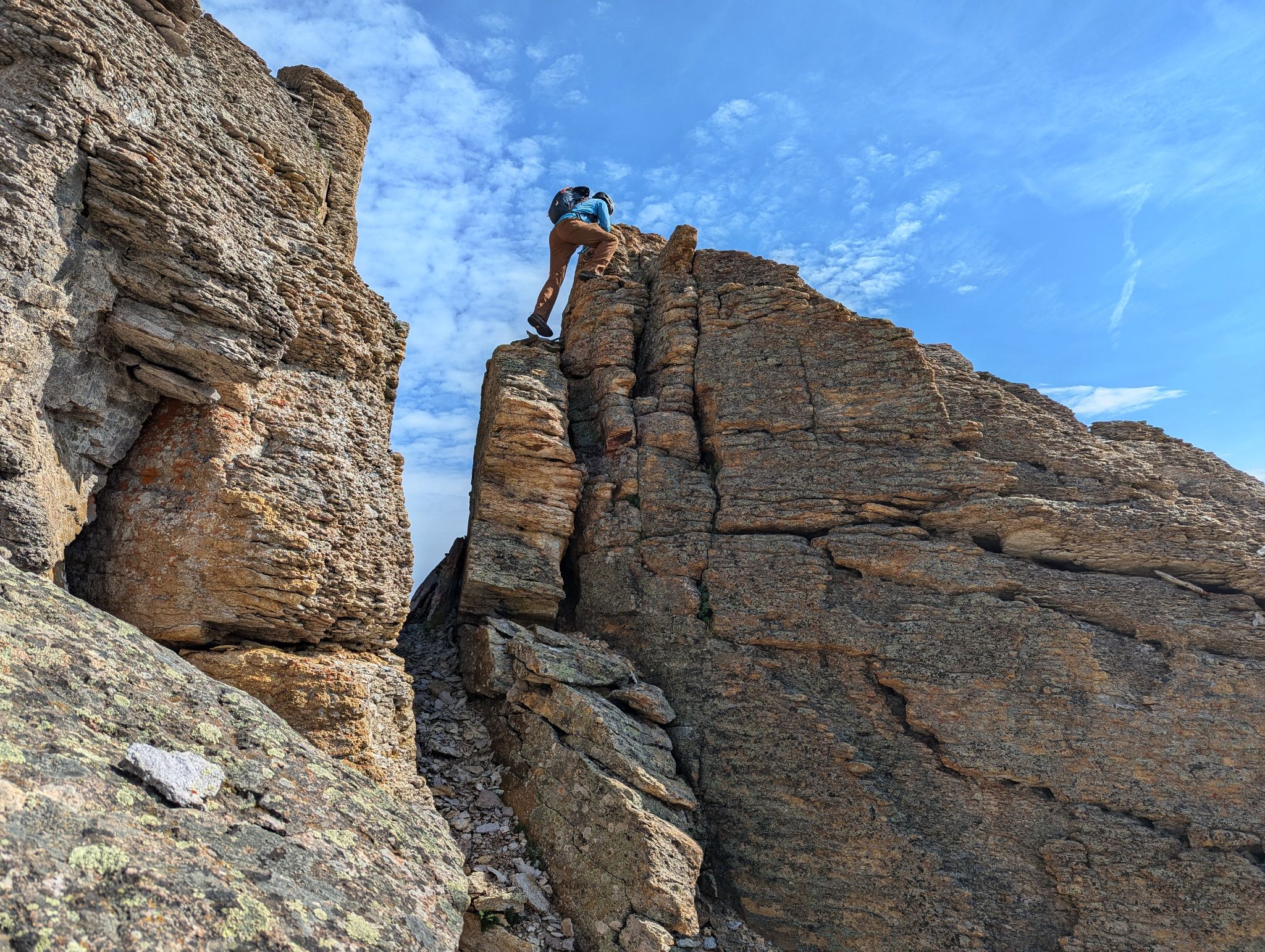
Exploring options. This one didn't go
![United states mountain 15]()
![United states mountain 16]()
We poked around for about 30 minutes for options before deciding to back track and ascend from the summit side of the ridge. The terrain was a bit heinous
![United states mountain 18]()
Run away run away
![United states mountain 19]()
Contouring around to the east
![United states mountain 20]()
Looking for ascent options
![United states mountain 21]()
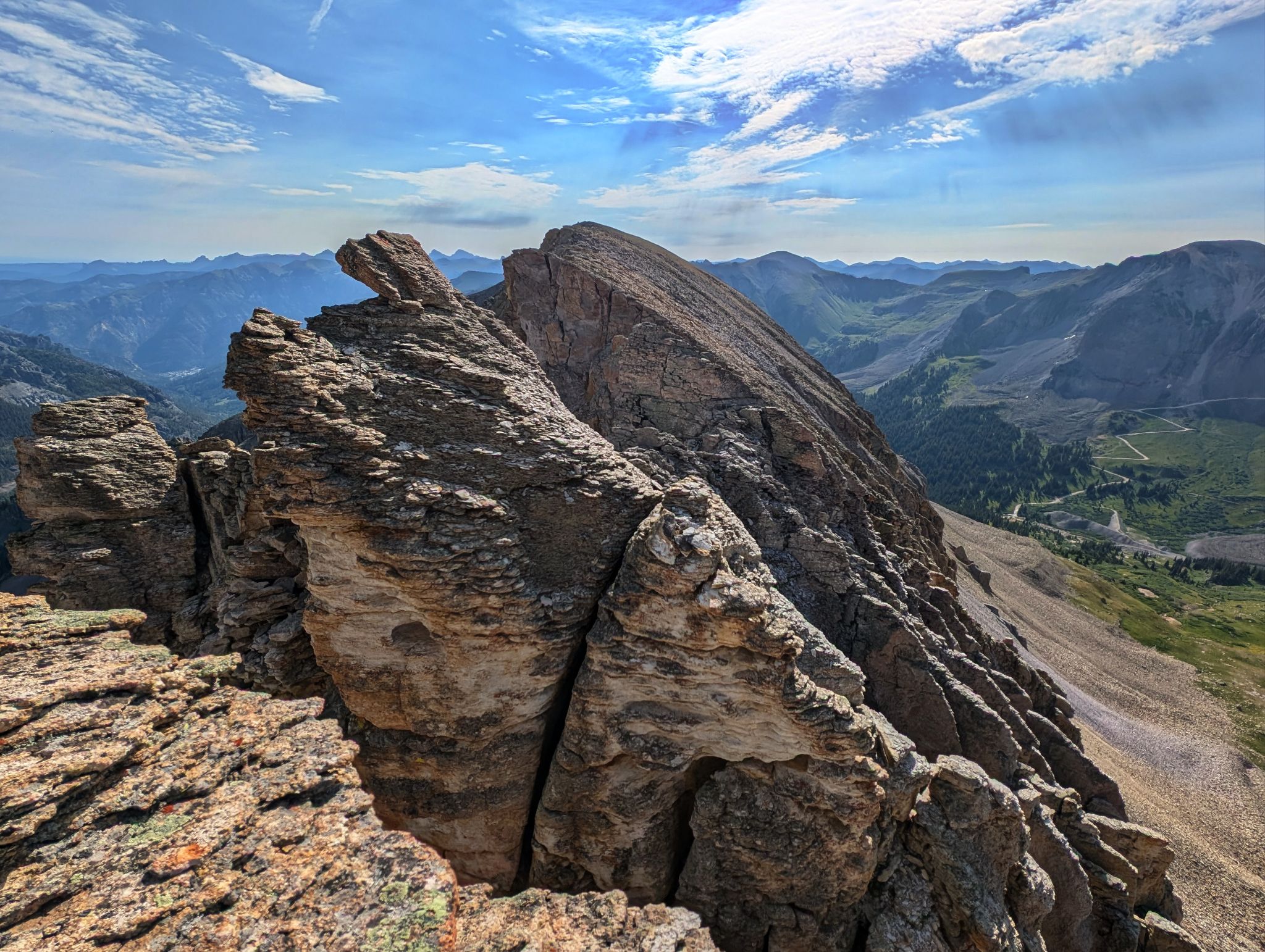
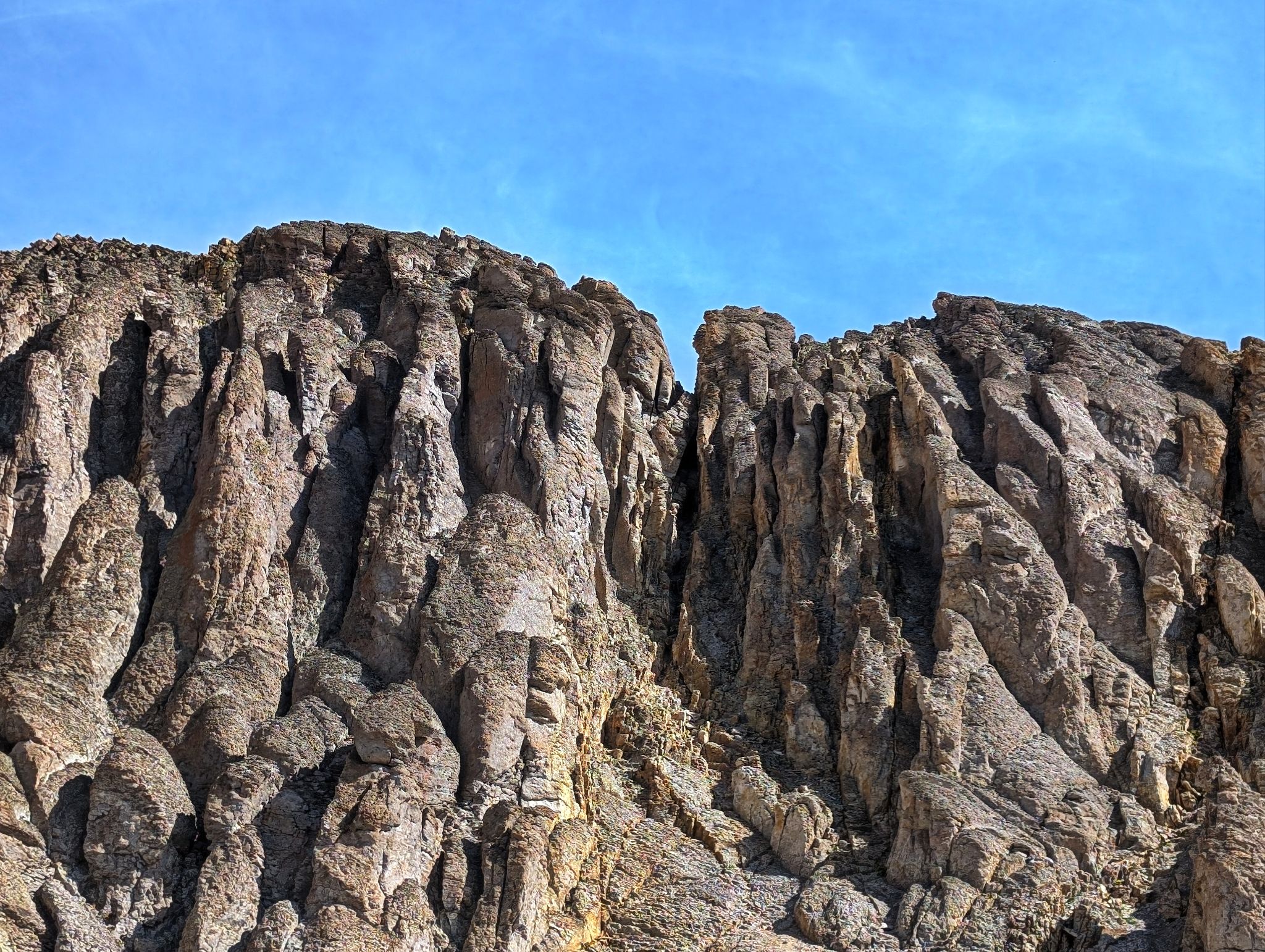
Cool looking but nope
![United states mountain 22]()
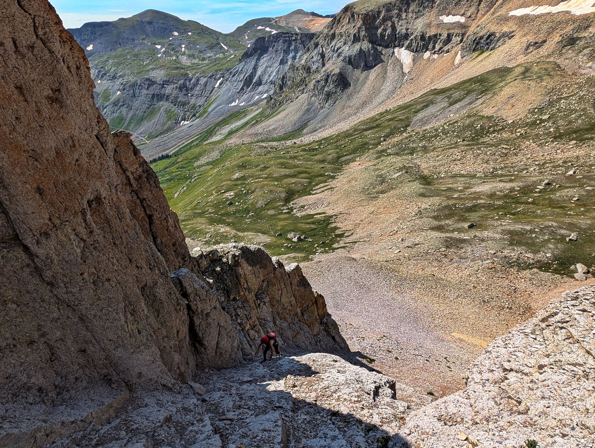
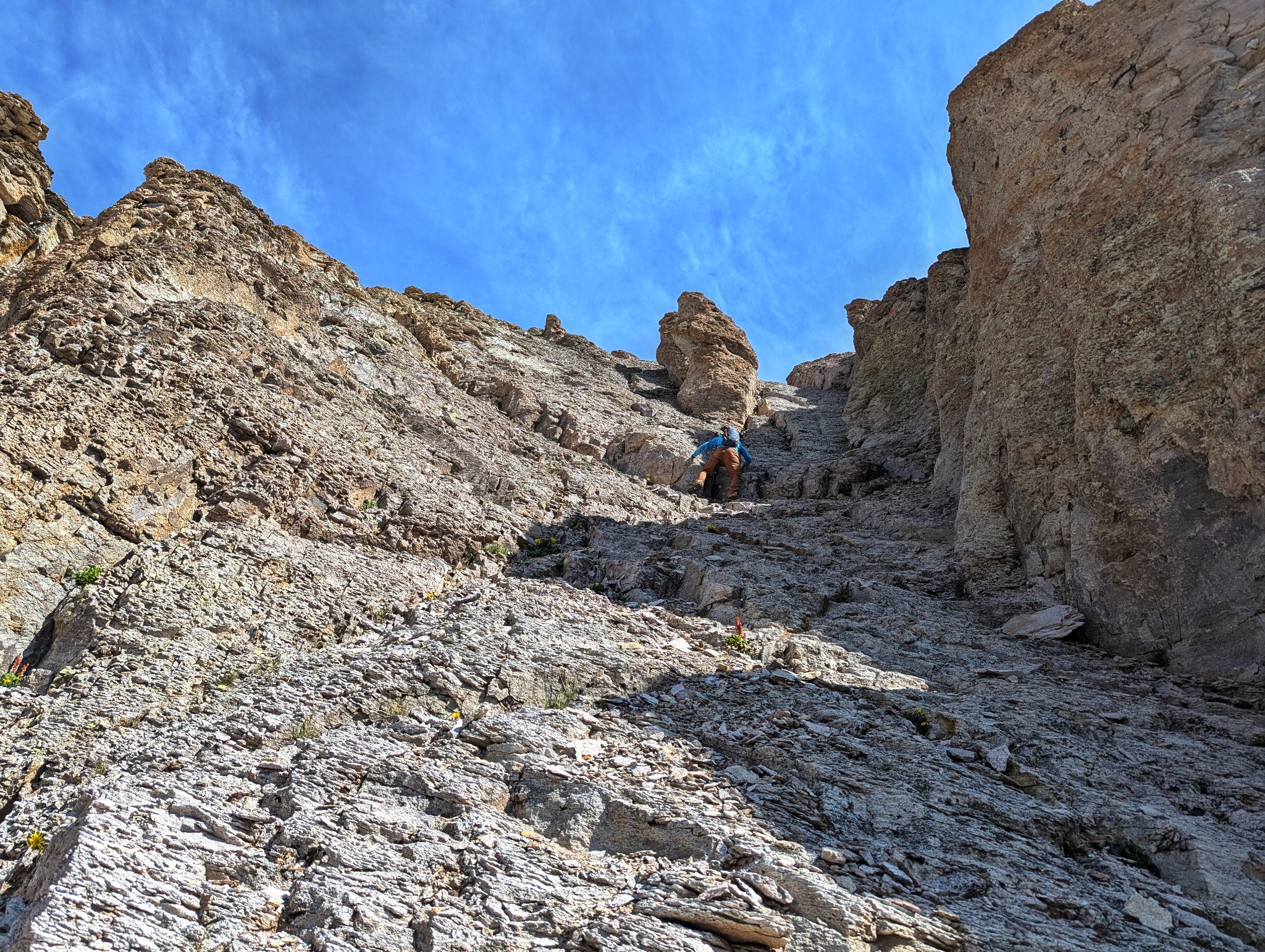
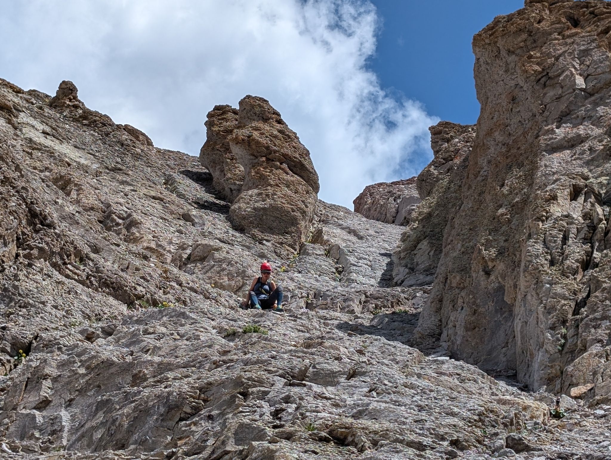
We found this steep and loose gully to the rib. Wasn't great but the choices were few
![United states mountain 23]()
![United states mountain 24]()
As the terrain got steeper we climbed to a rib on the left
![United states mountain 25]()
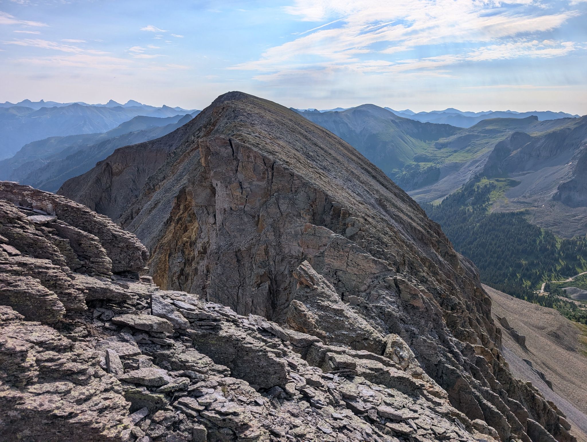
Gaining the summit ridge and looking back across the traverse we bailed on
![United states mountain 26]()
![United states mountain 27]()
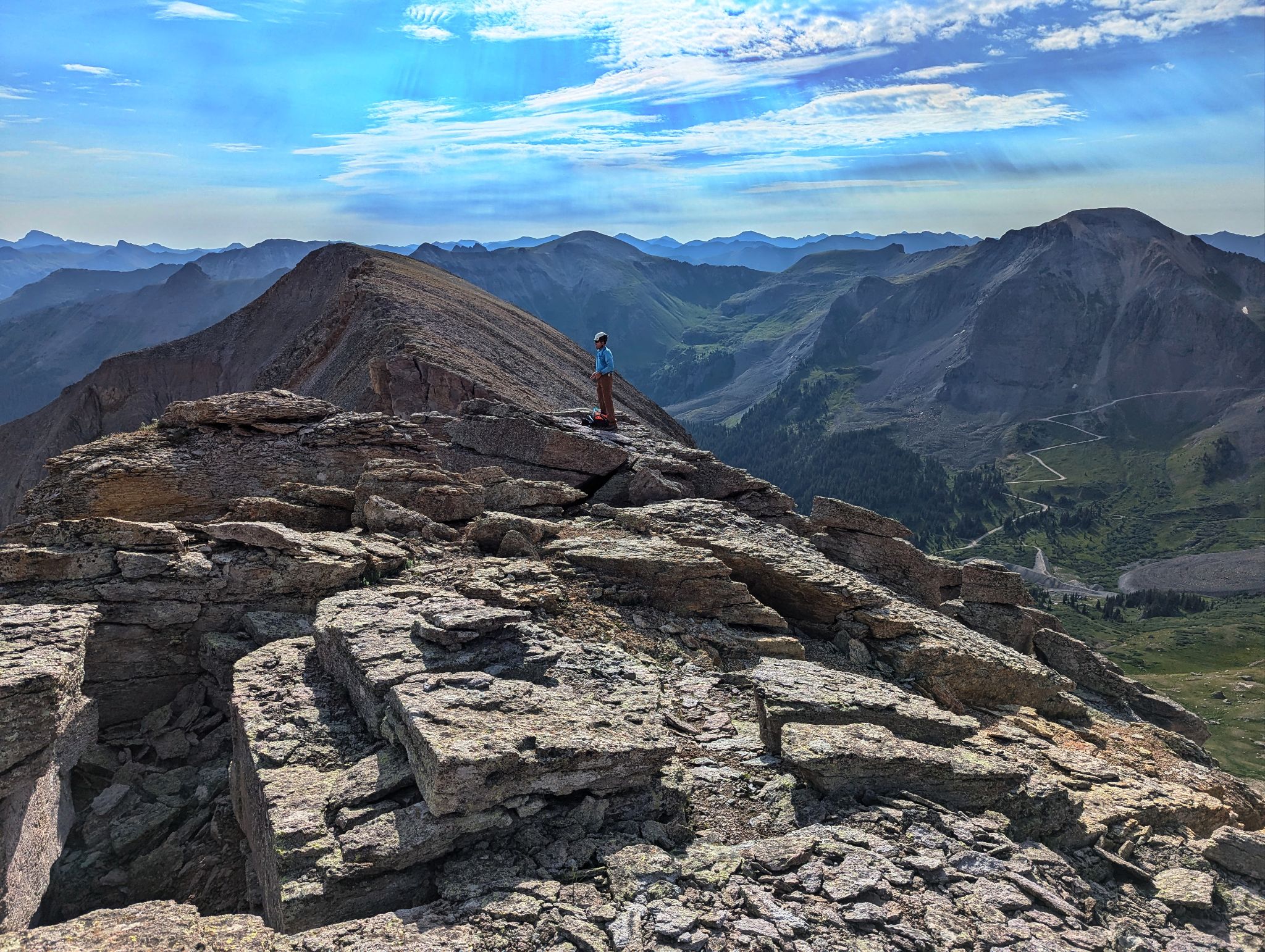
Summit views of the Yankee Boy peaks to the north
![United states mountain 28]()
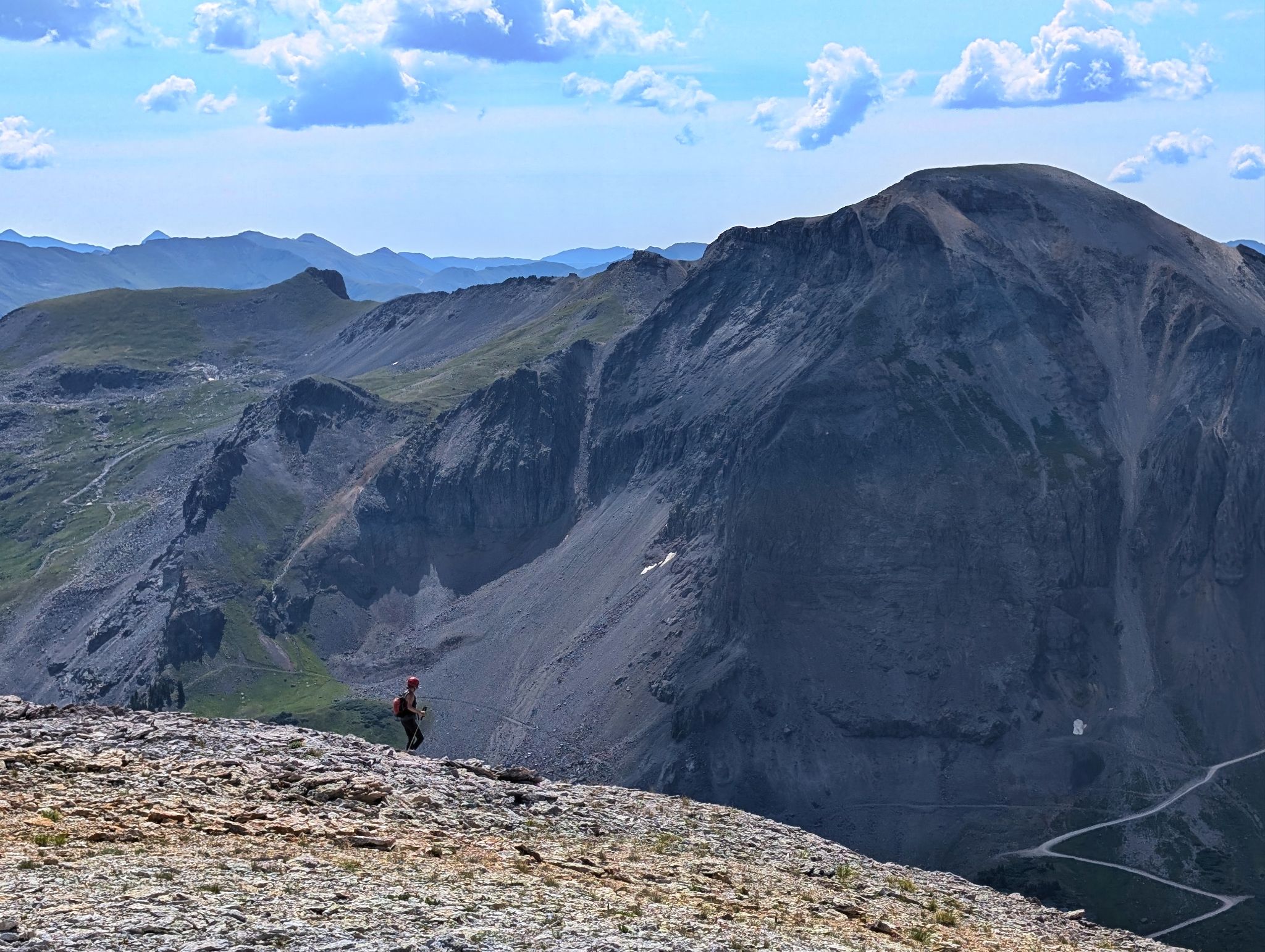
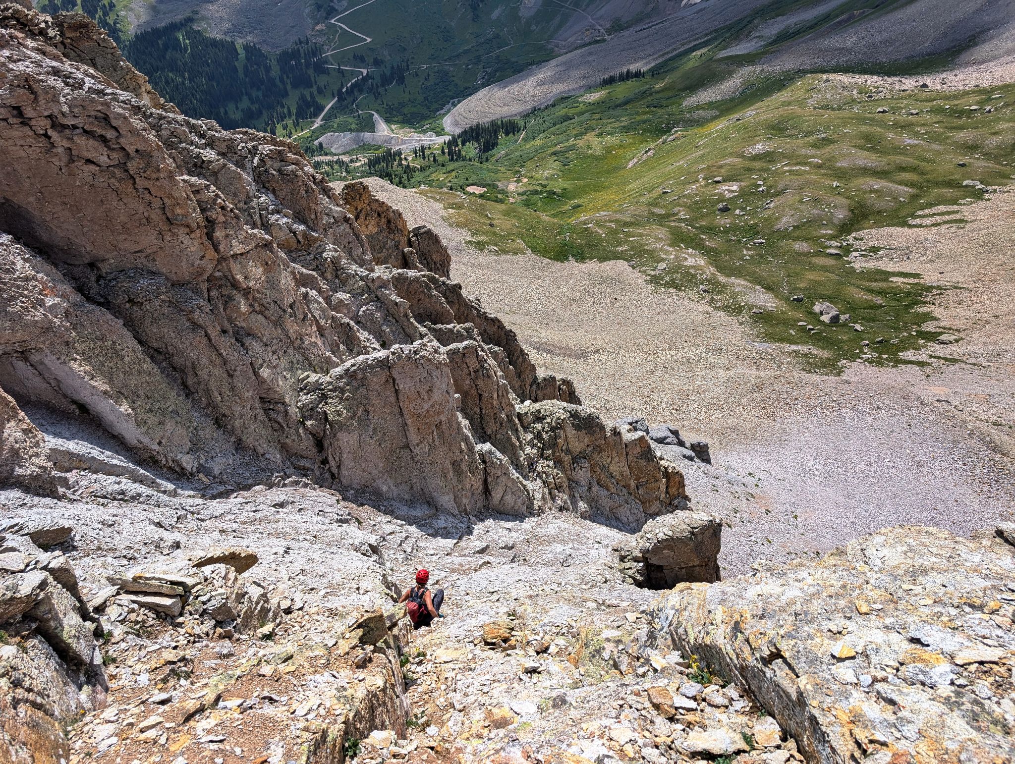
Time to descend the choss we climbed
![United states mountain 29]()
Butt scootin on nastiness.
![United states mountain 30]()
Steep and loose - don't recommend
![United states mountain 31]()
Didn't need these pants anyway
![United states mountain 32]()
![United states mountain 33]()
Exfoliating the caboose
![United states mountain 34]()
Should have brought the screeboards