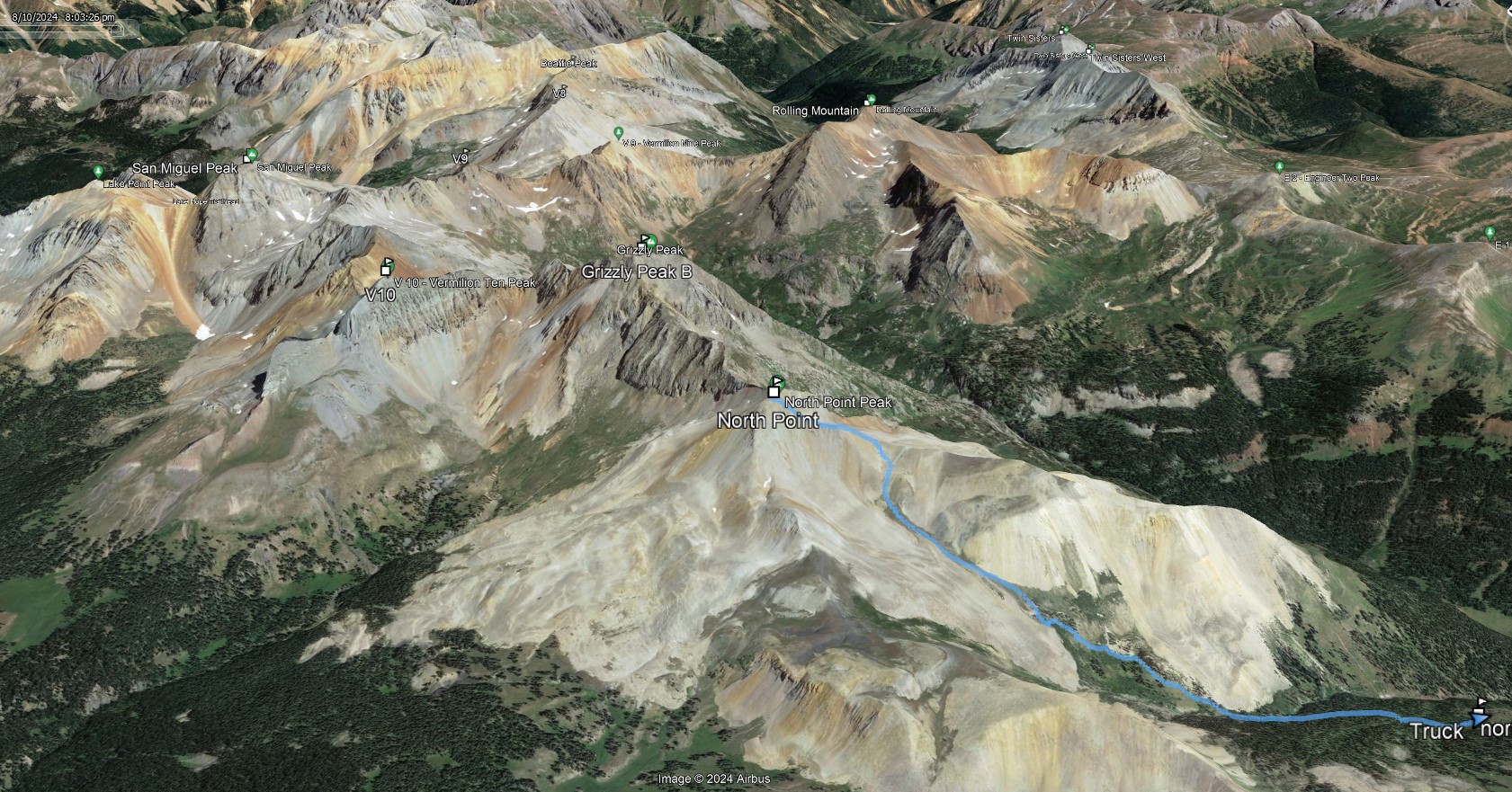
North Point
Date: 08/10/2024
Partner: Kristi Henes
Trailhead: End of Forest Service Road 579
Distance: 3.8m
Elevation Gain: 2150ft
Duration: 3hrs
GPX
Can't say I would repeat this one (especially given the drive up the road).... but if I did, I would connect it with Grizzly via an out and back from Grizzly's south ridge / North Point's north ridge.
![North point 01]()
3.8m - 2150ft - 3hrs
![North point 02]()
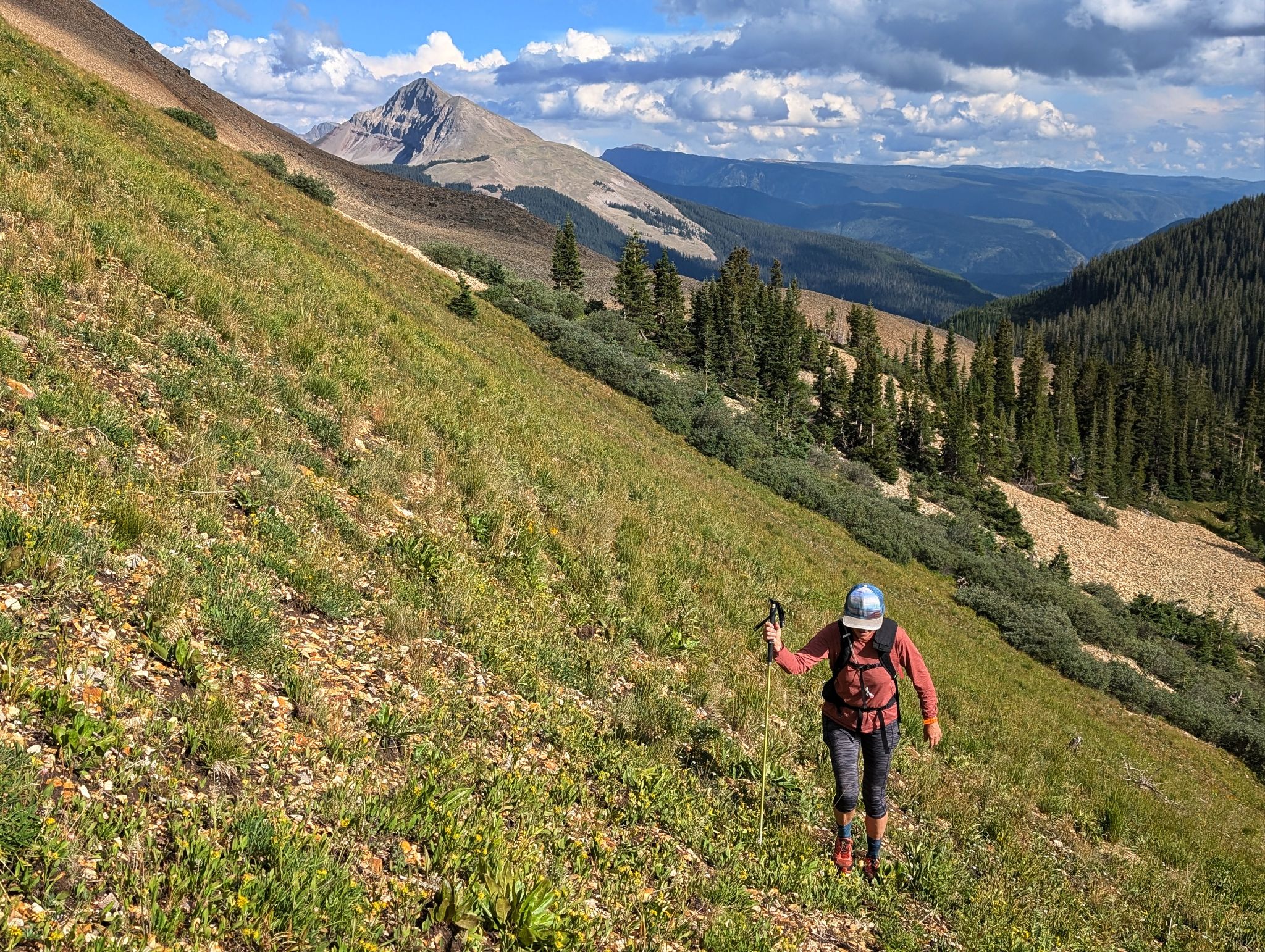
Hiking north after leaving the trail. Engineer behind
![North point 03]()
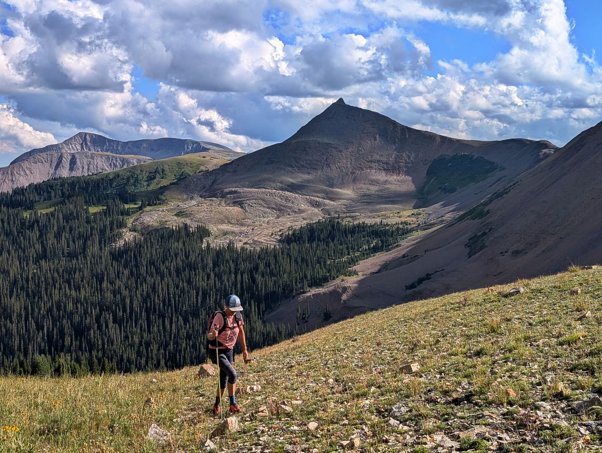
Relatively gentle terrain - Sliderock Ridge on the right
![North point 04]()
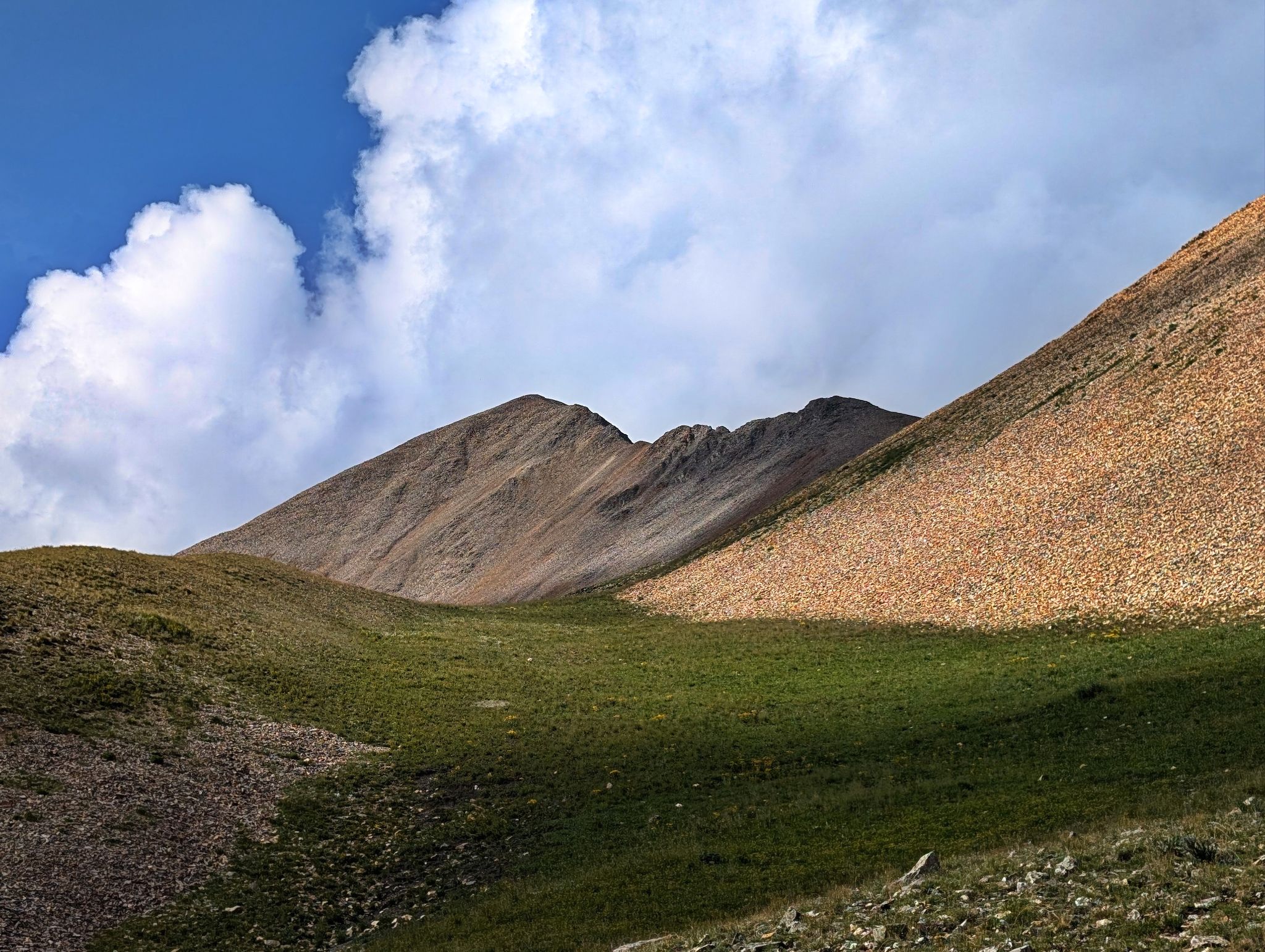
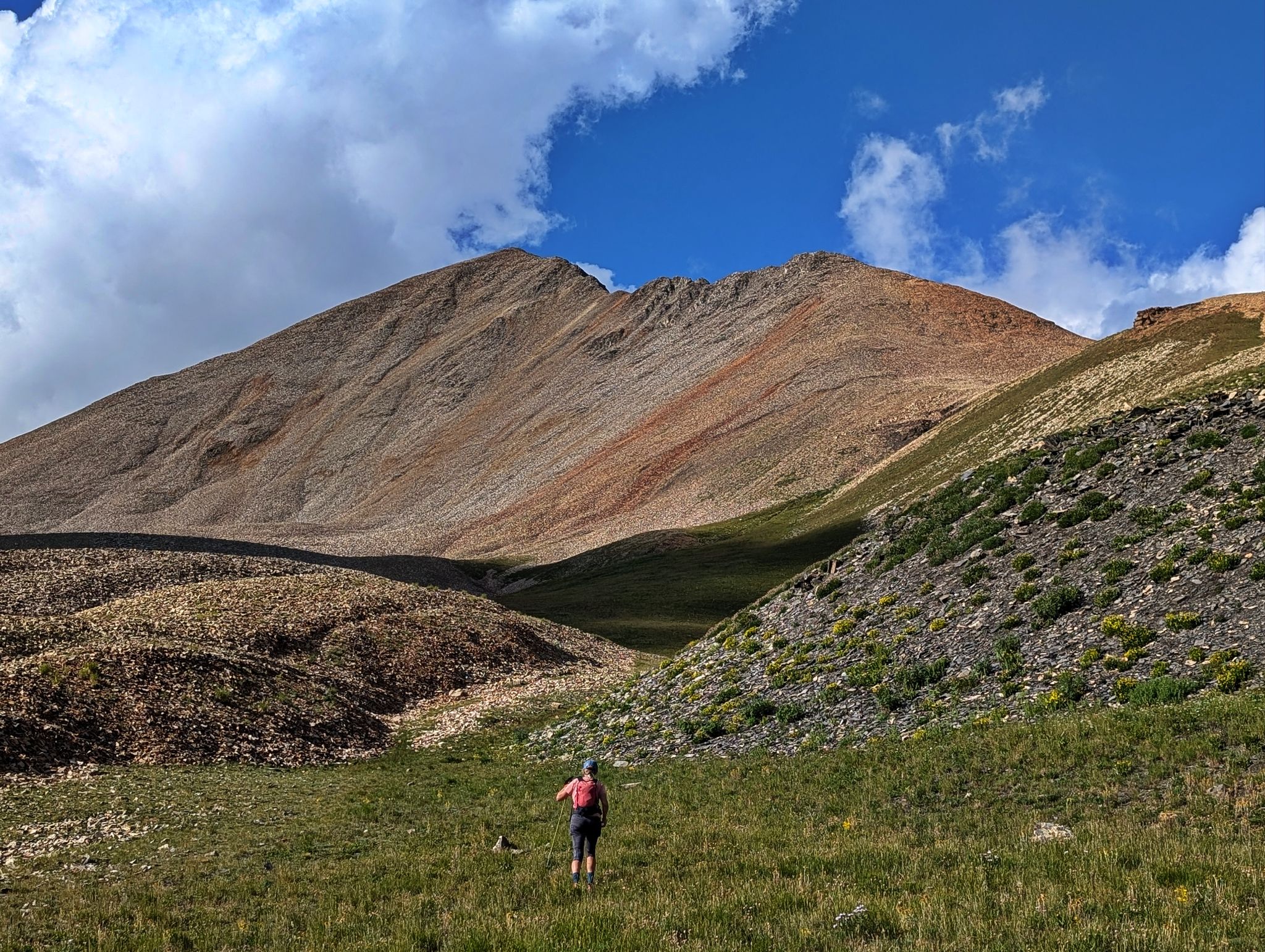
A relatively easy approach to North Point's chossy south ridge
![North point 05]()
![North point 06]()
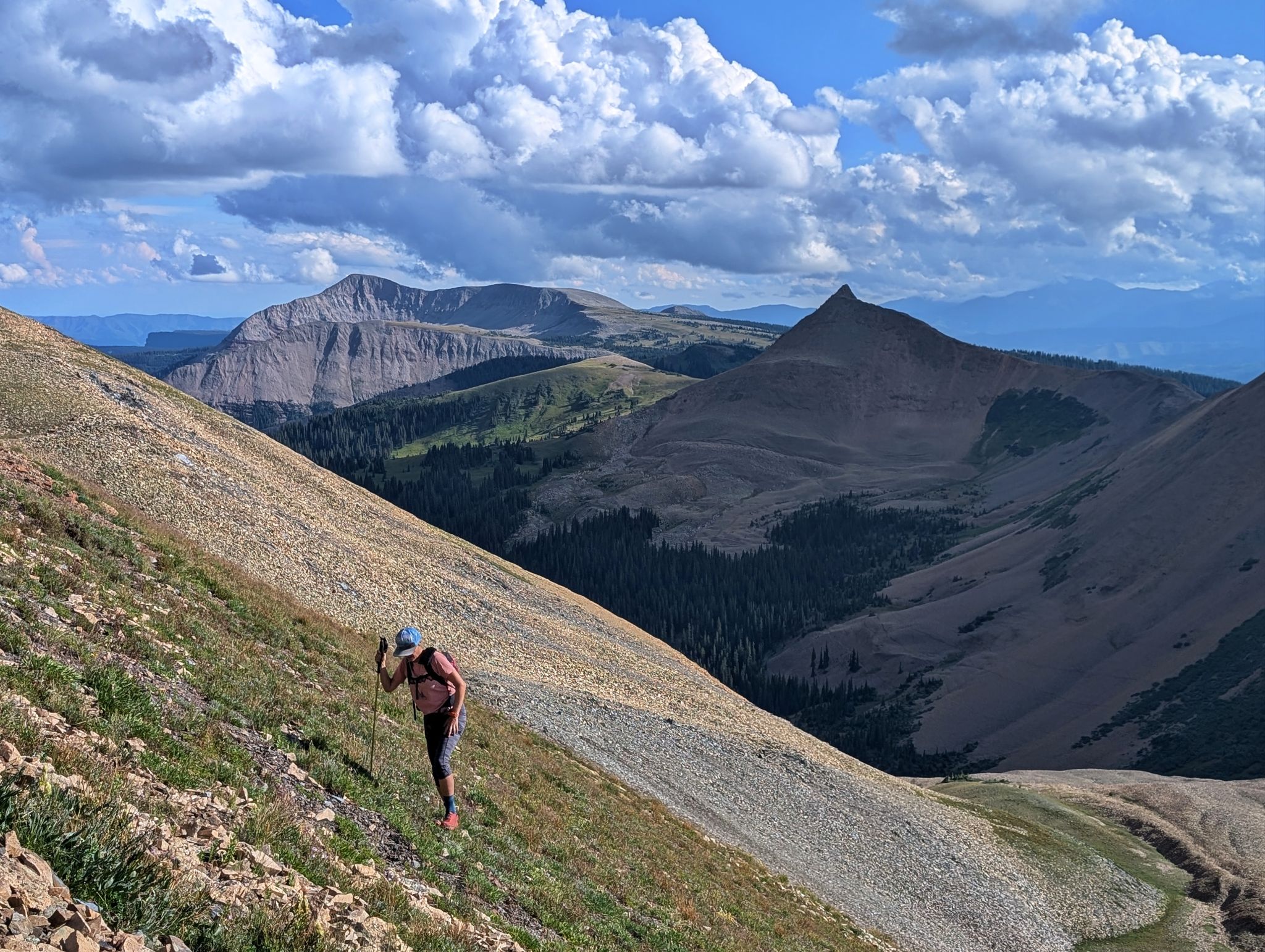
It gets a little steeper up the the saddle
![North point 07]()
Looking south along the ridge to Engineer
![North point 08]()
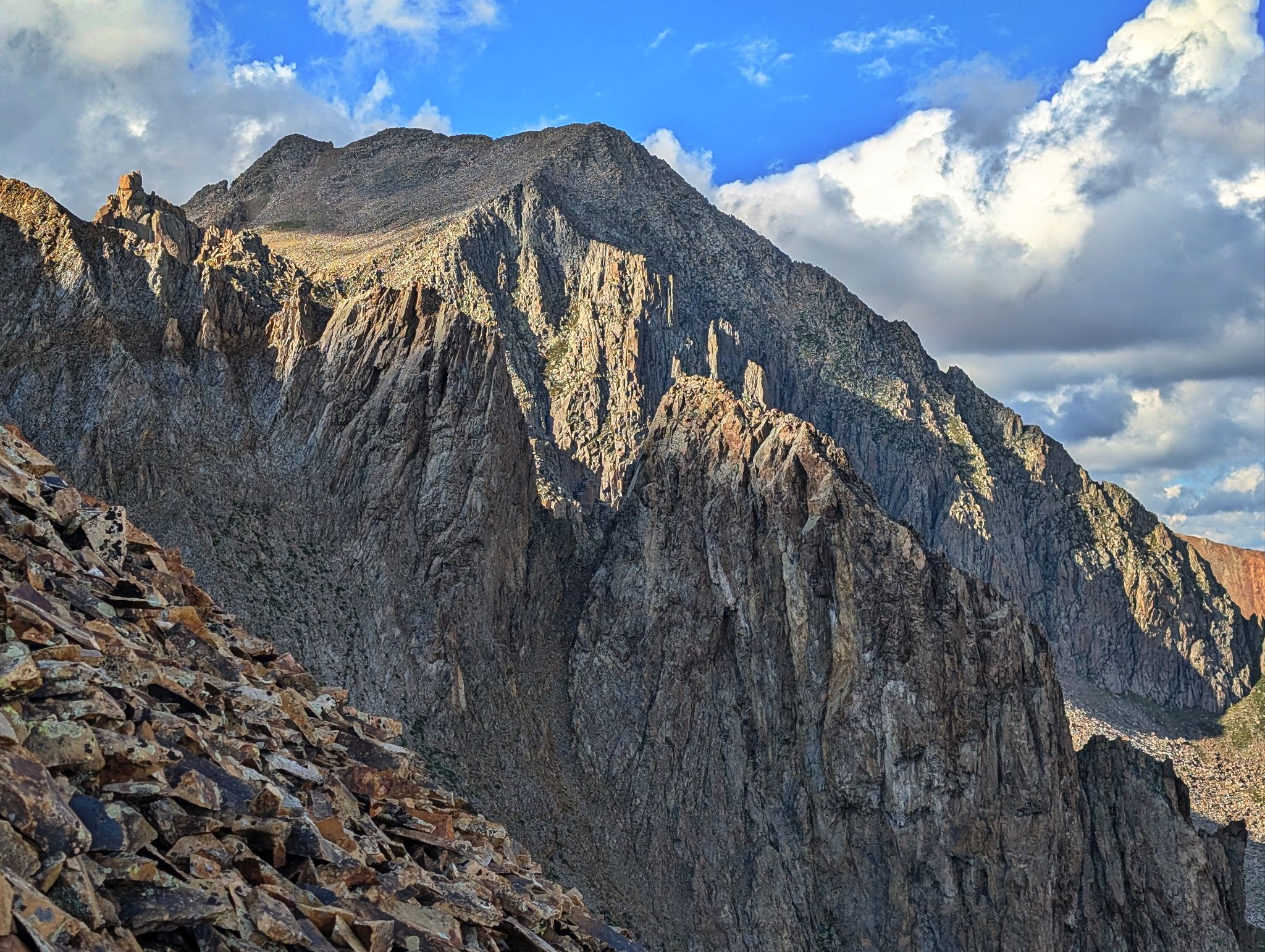
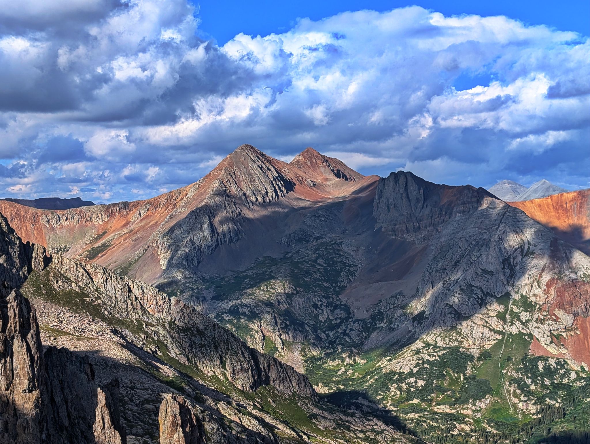
Rugged views of Grizzly B
![North point 09]()
Rolling Mountain to the north east
![North point 10]()
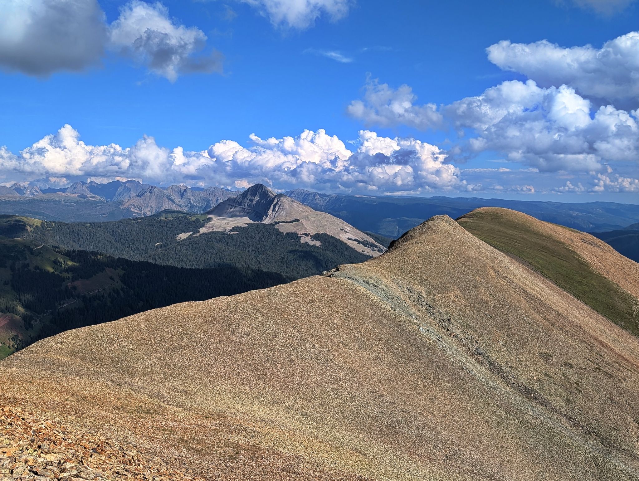
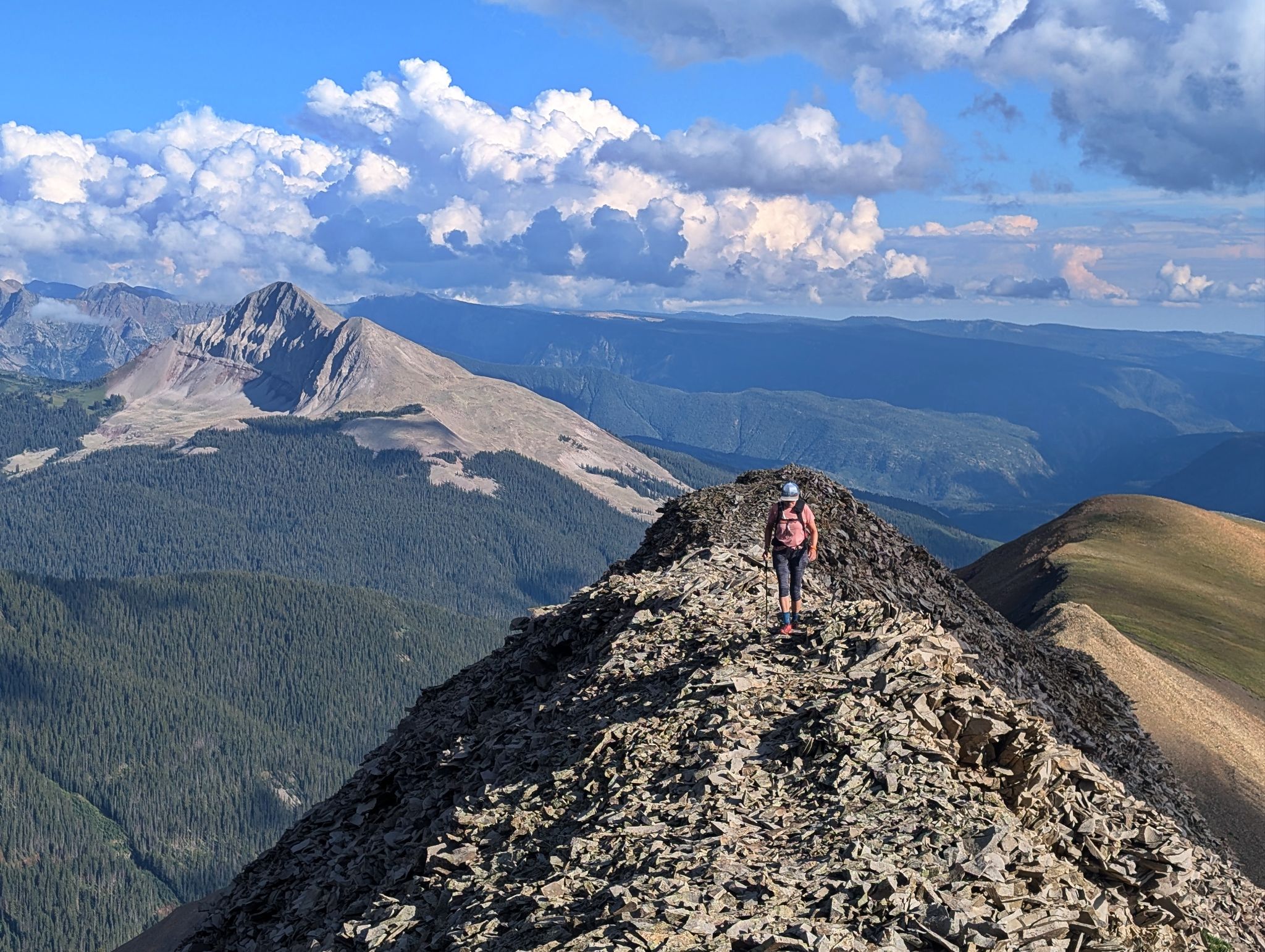
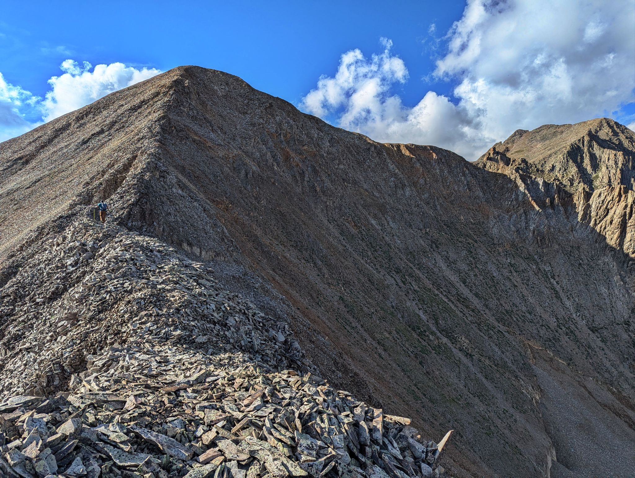
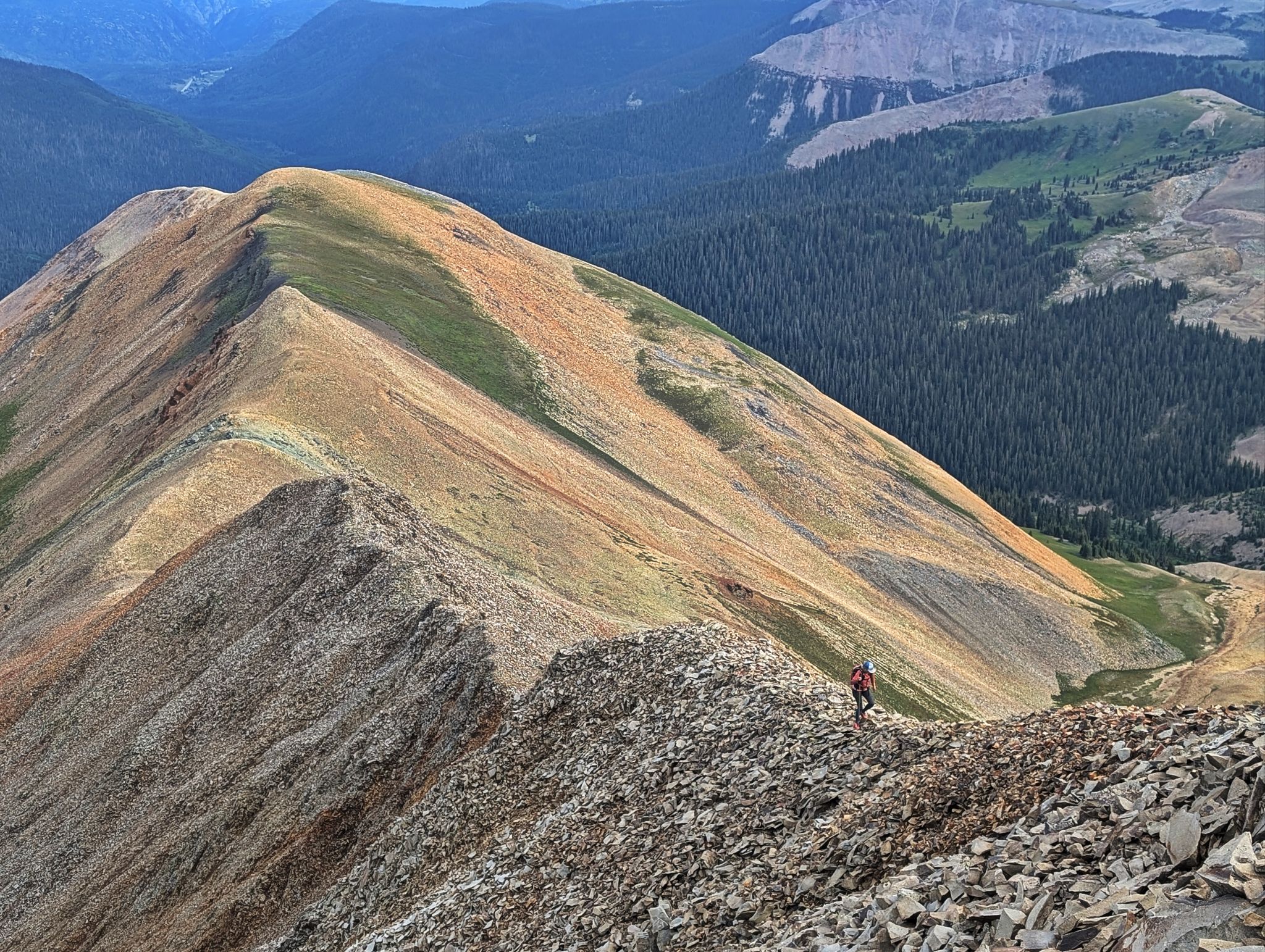
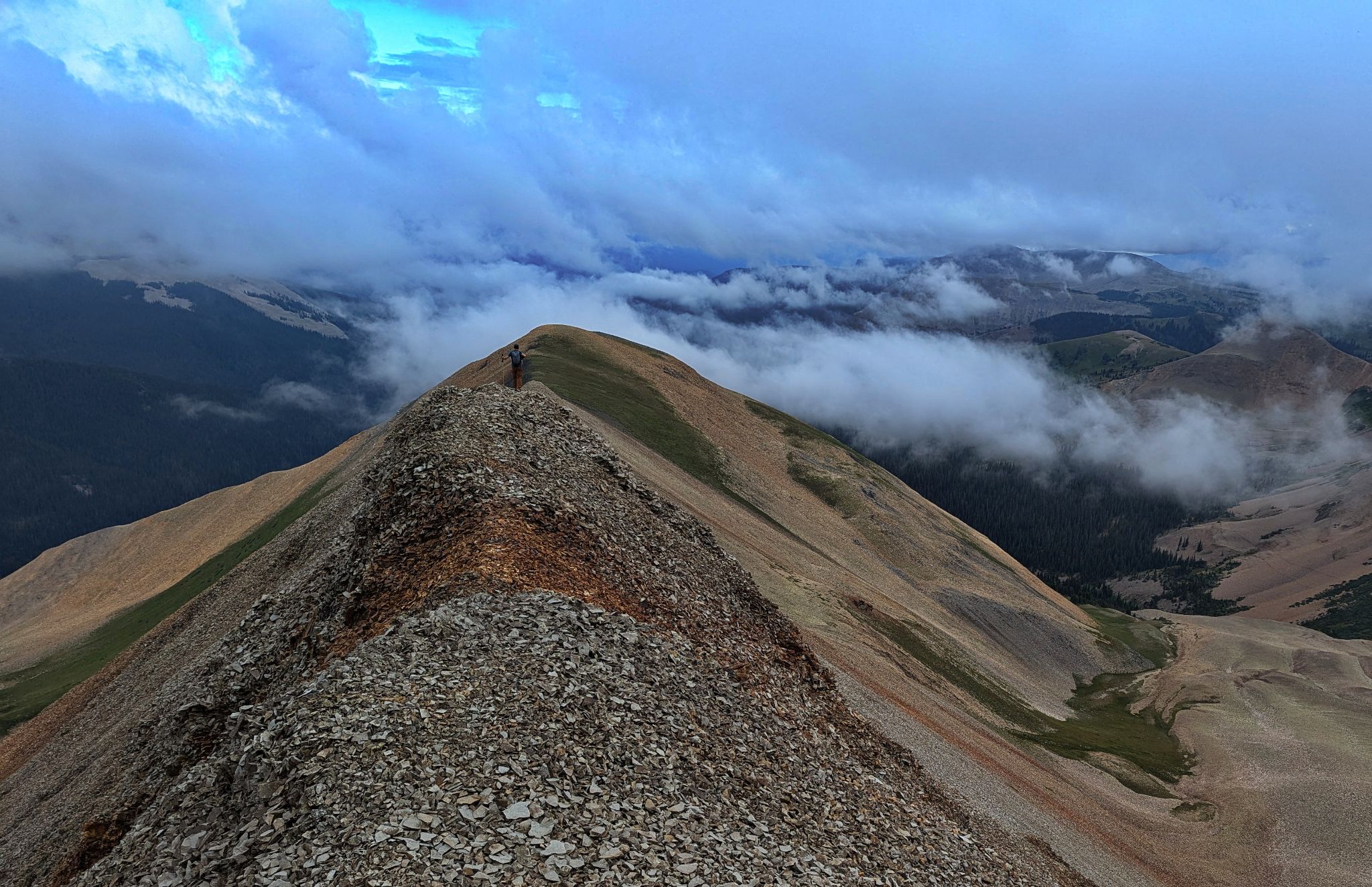
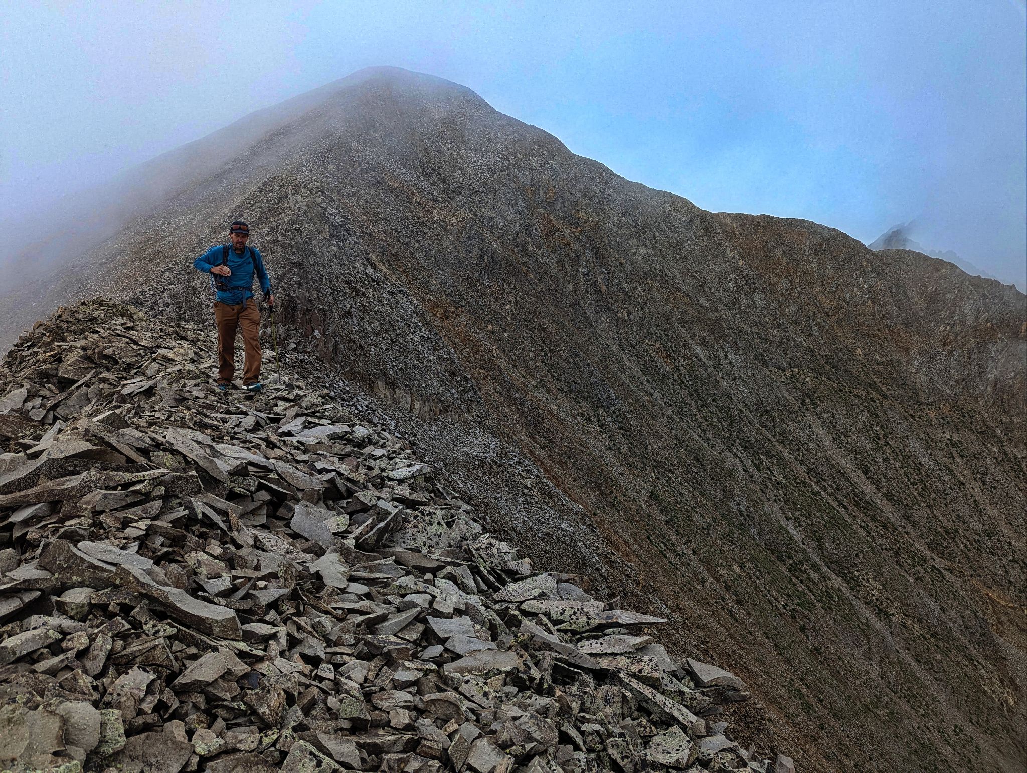
The ridge was fun to walk... for a while
![North point 11]()
![North point 12]()
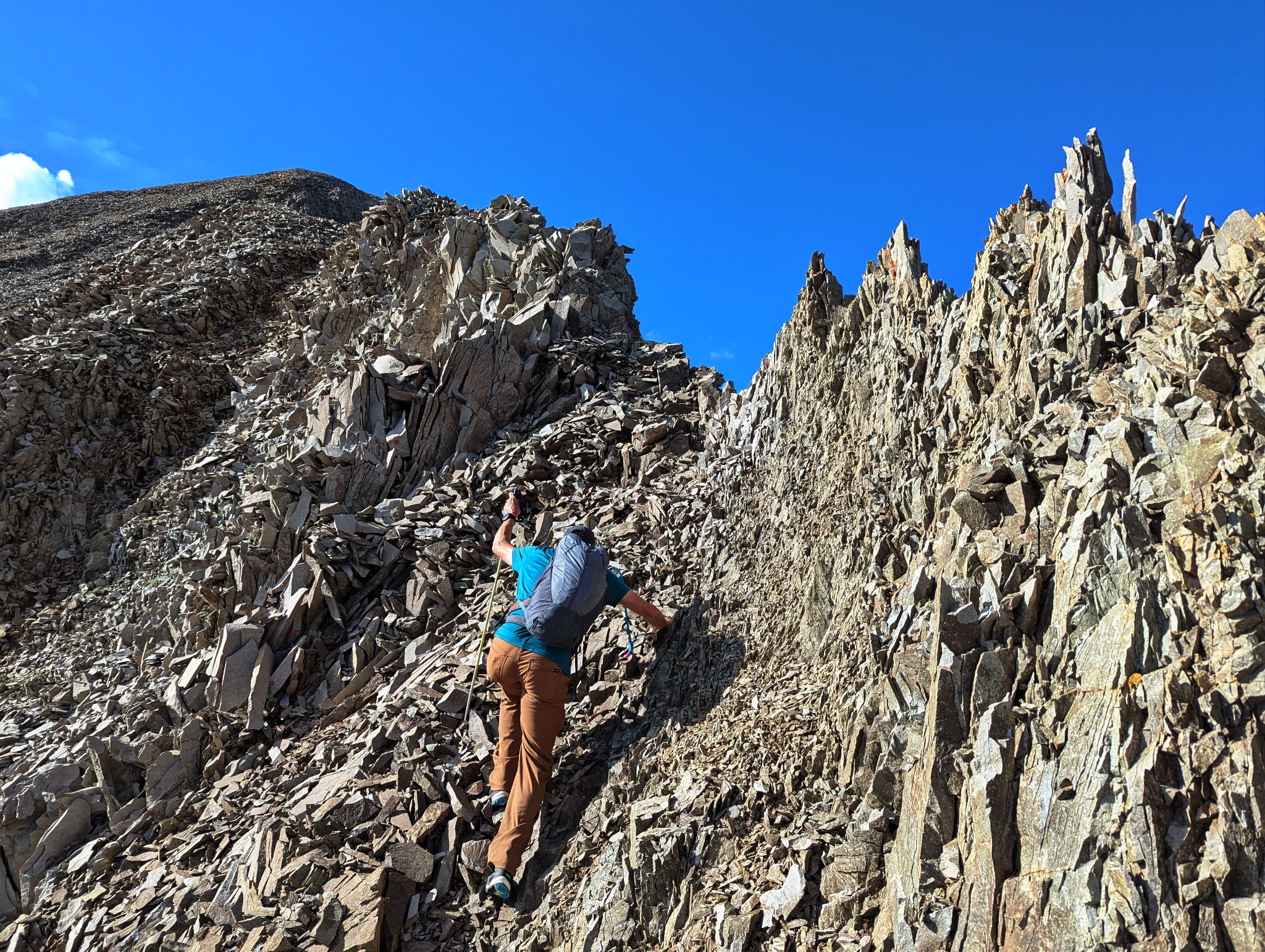
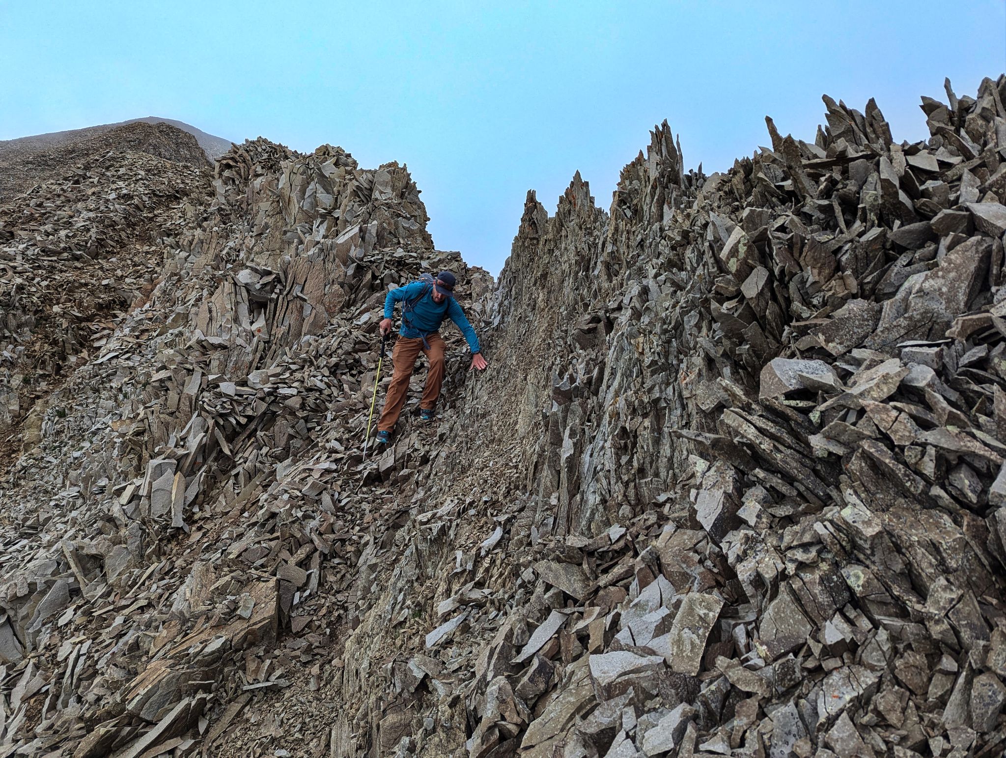
This chossy section added some spice. Recommend route is to stay on the ridge
![North point 13]()
Looking down to the final pitch from the summit
![North point 14]()
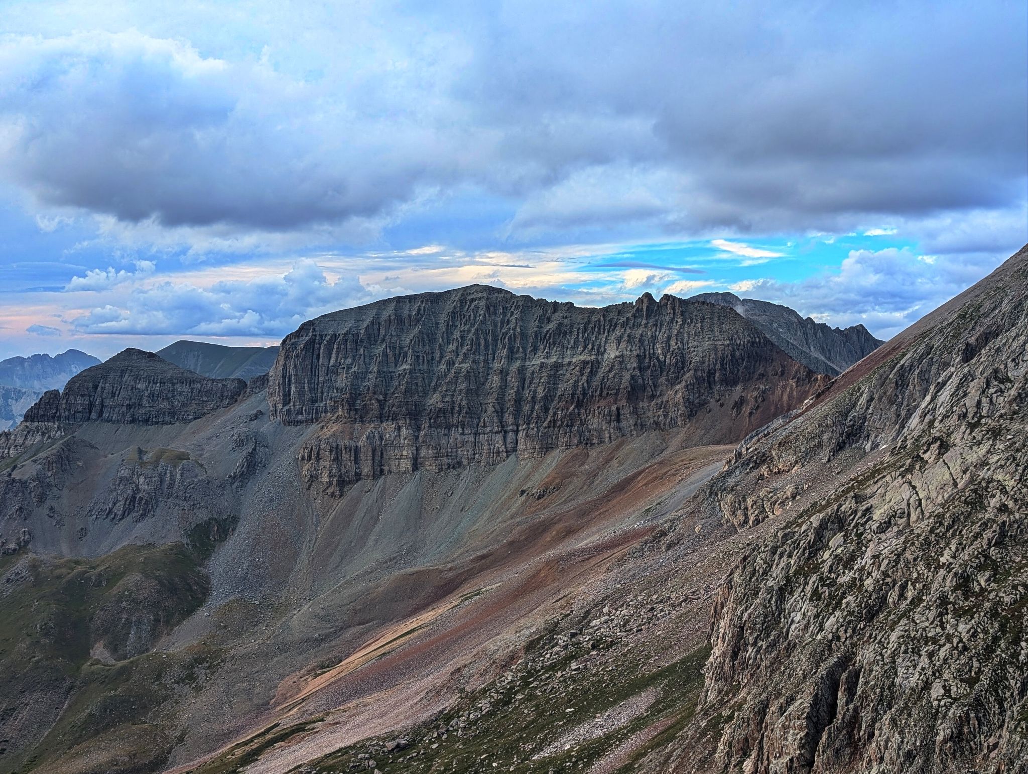
V10 from the summit
![North point 15]()
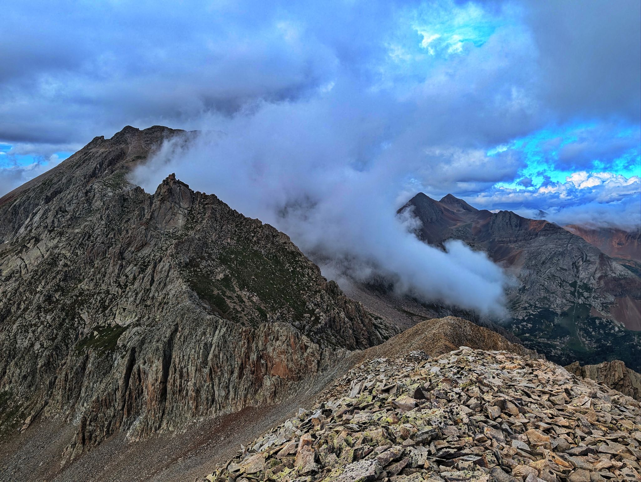
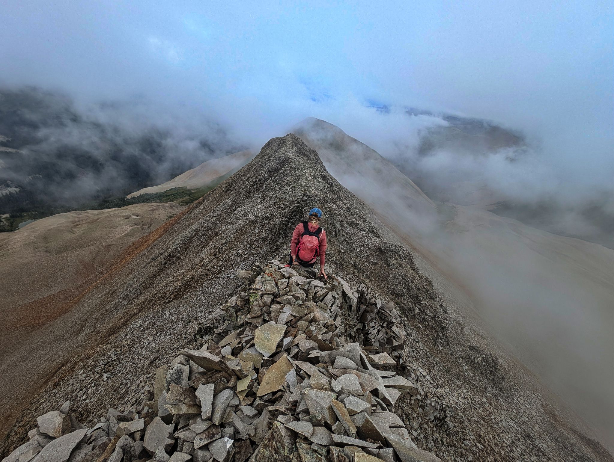
The connecting ridge between North Point and Grizzly has some spice
![North point 16]()
Heading back down the ridge
![North point 17]()
A little butt scooting down the exposed and sharp(ouch) cruxy section
![North point 18]()
Gingerly crossing a loose section after the sharp cruxy down climb
![North point 19]()
Back on the 'fun to walk' section
![North point 20]()
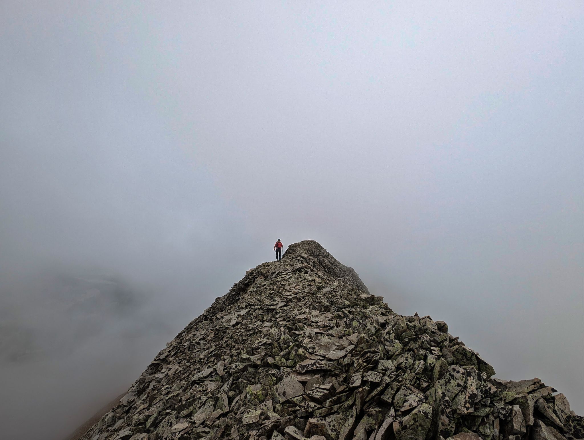
We retraced our steps on the fog back to the TH