Grizzly Peak B
Date: 07/12/2021
Partner: Solo
Trailhead: End of Forest Service Road 579
Distance: 7.75 miles
Elevation Gain: 2900ft
Difficulty: Easy Class 3
Duration: 5 hours
GPX
Grizzly B 14ers Page
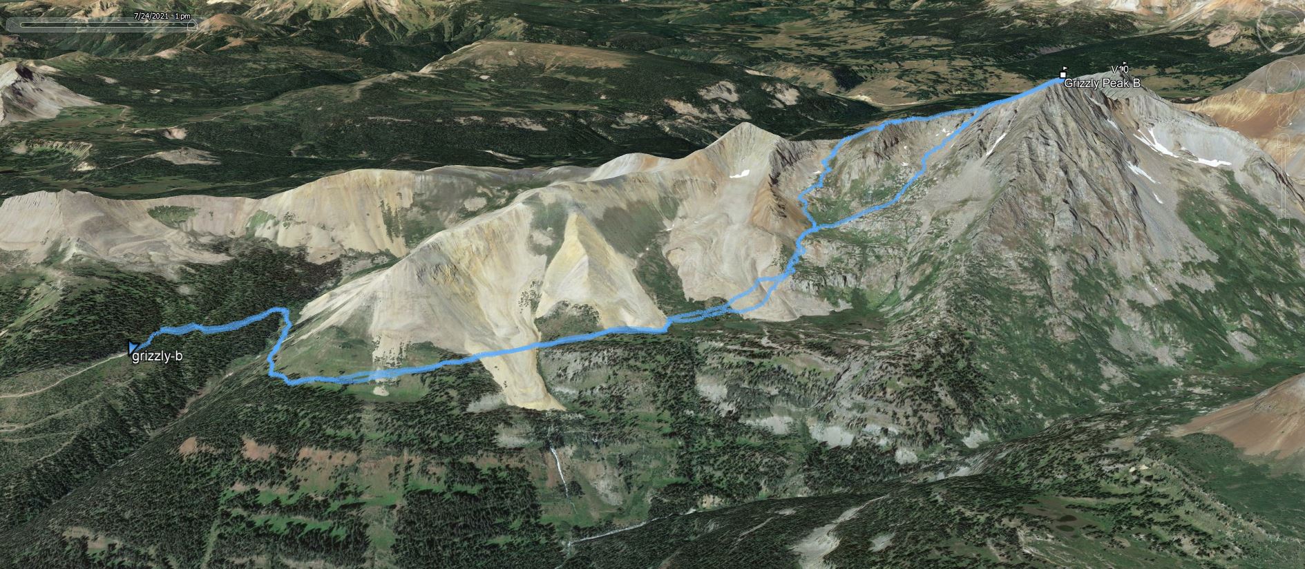
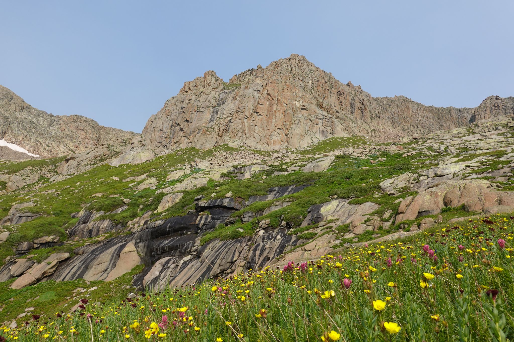
From the TH I hiked roughly a half mile on the CT before following a faint trail on the right which contoures around to the basin below Grizzly's awesome southwest face. The trail passes through forest, meadows and across scree fields.
Fun Fact: Finding the stamped down trails in the scree will make your life easier.
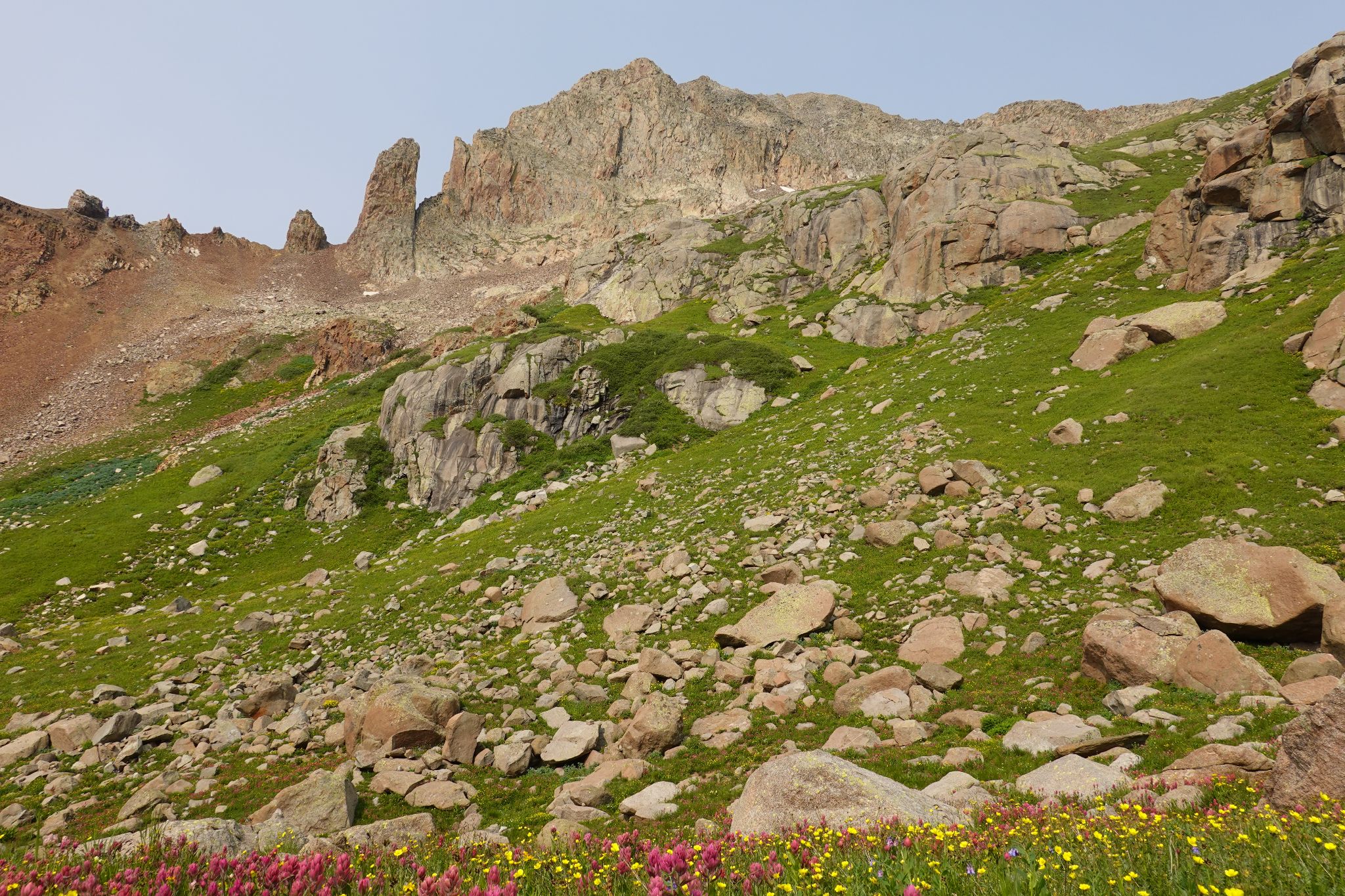
When I reached the grassy basin below Grizzly, I eyeballed the loose gully that many folks have ascended. I descided to explore other optoins... just wasn't in the mood for a loose gully.
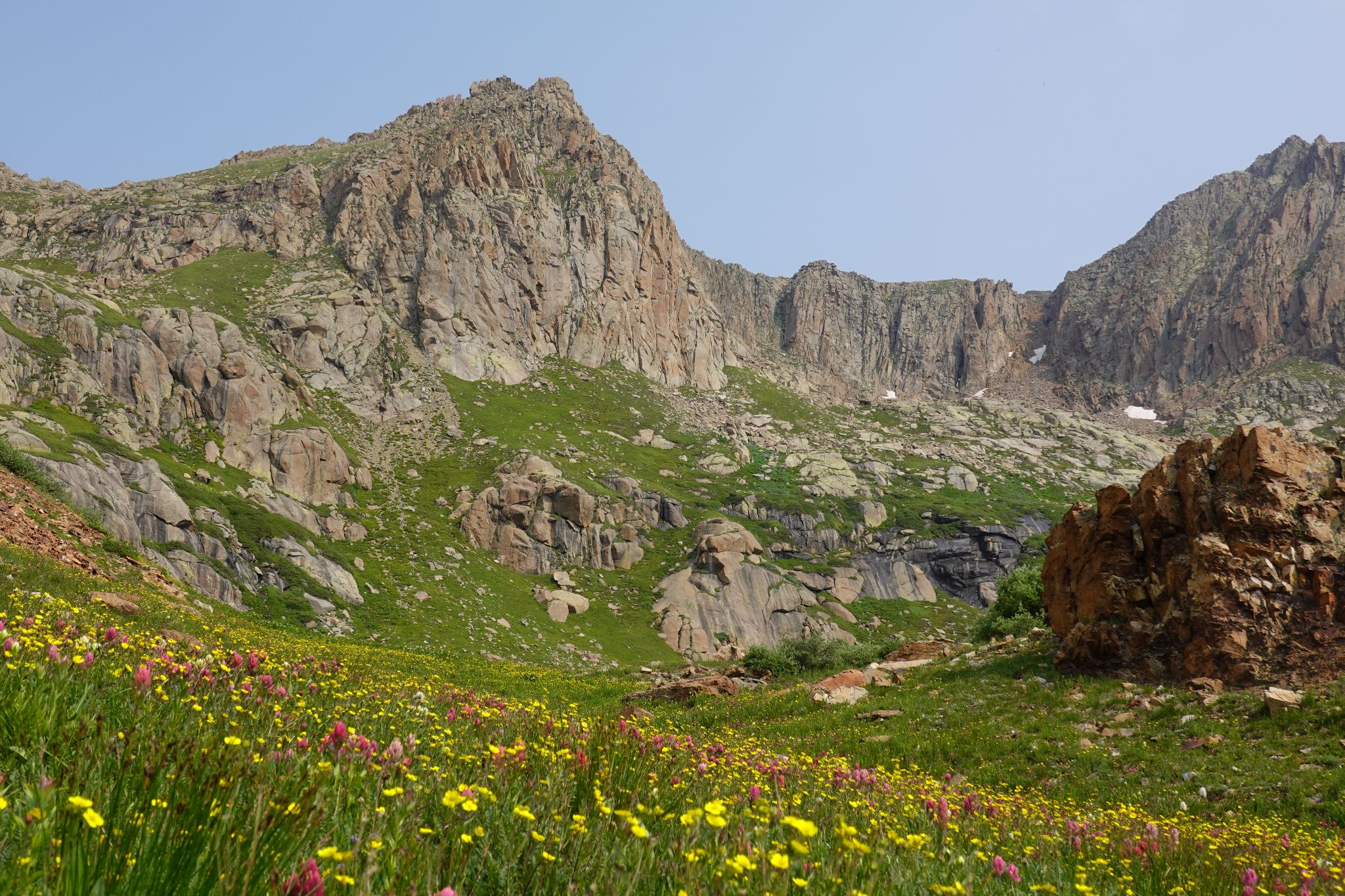
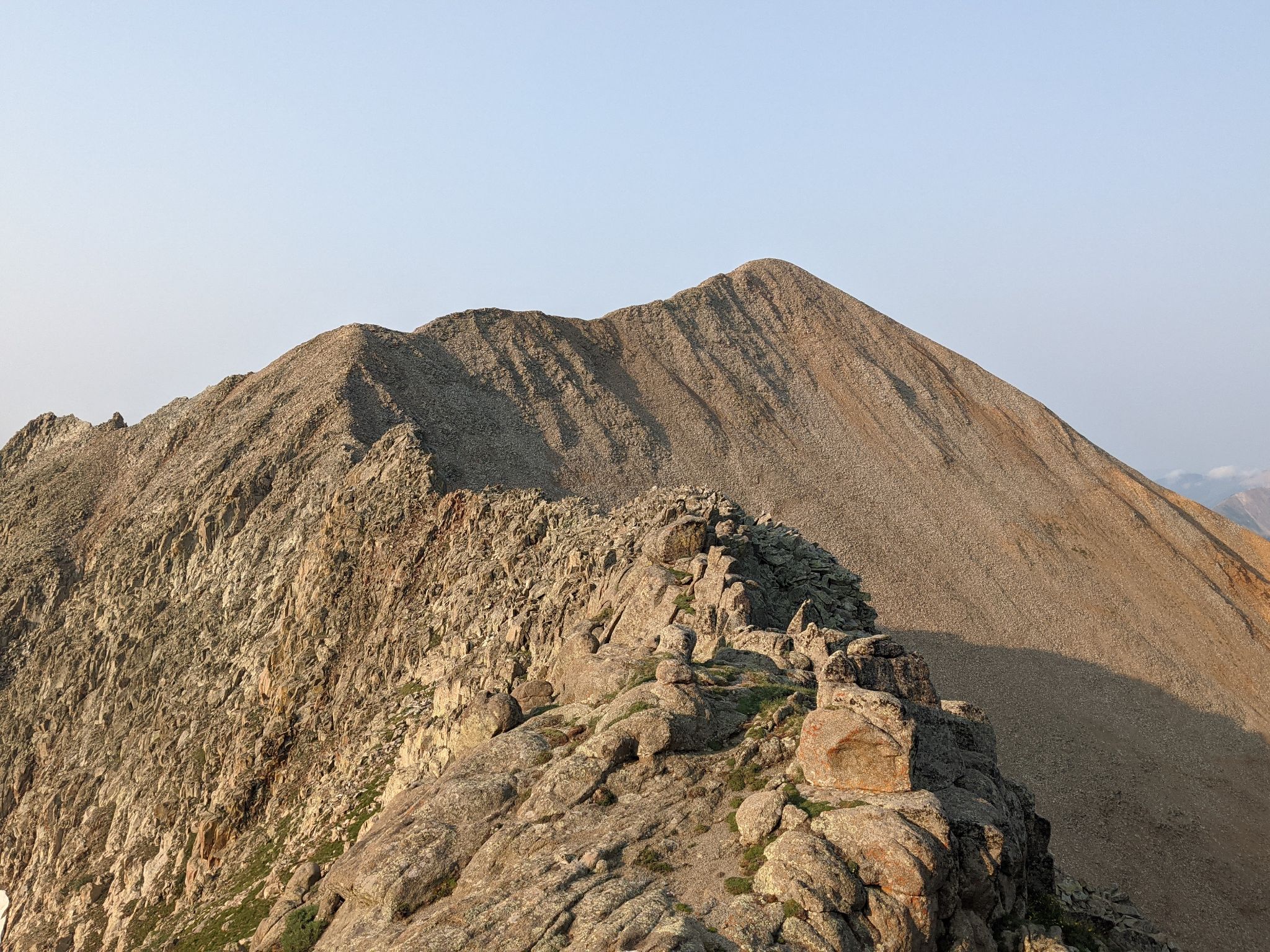
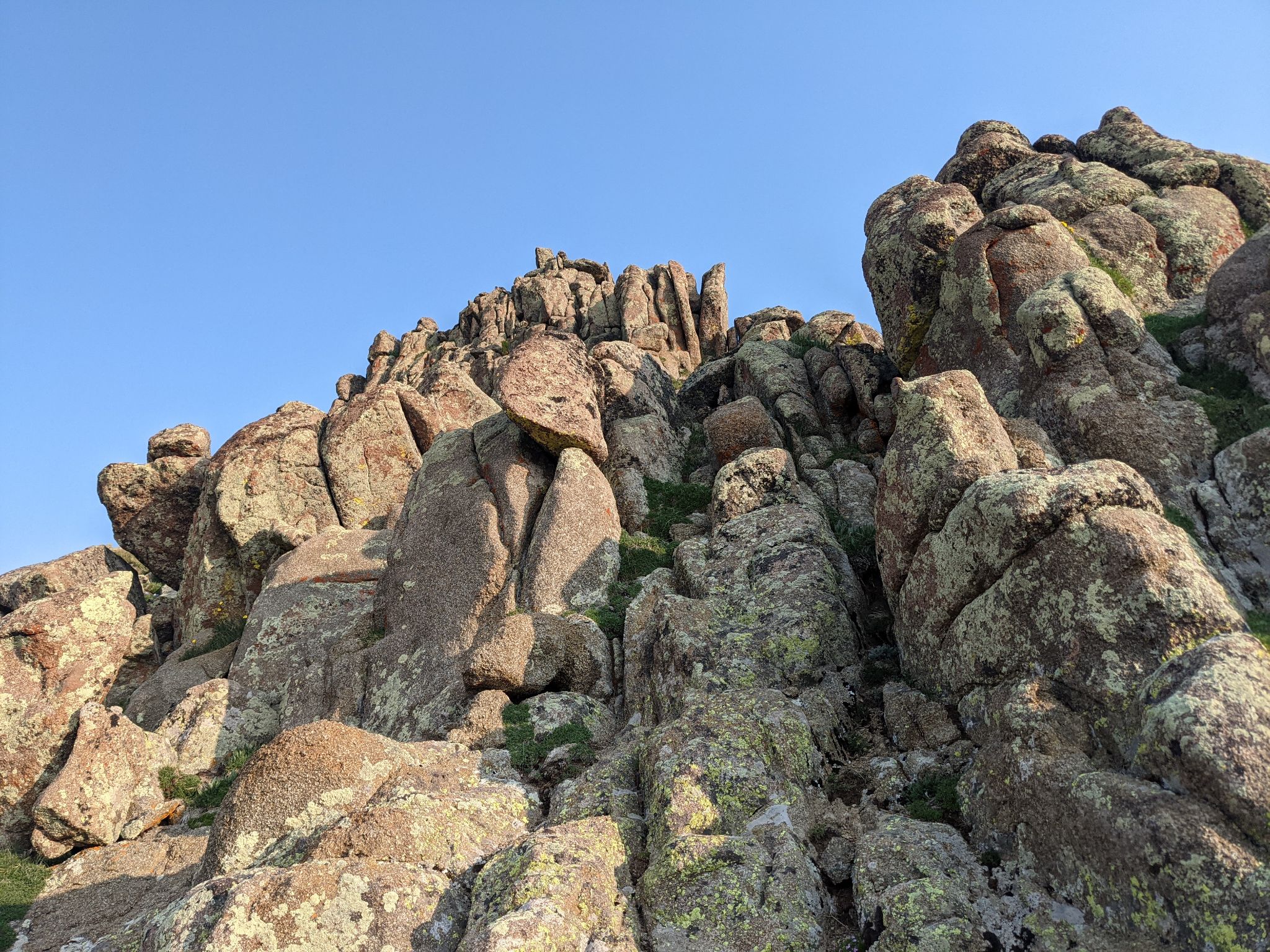
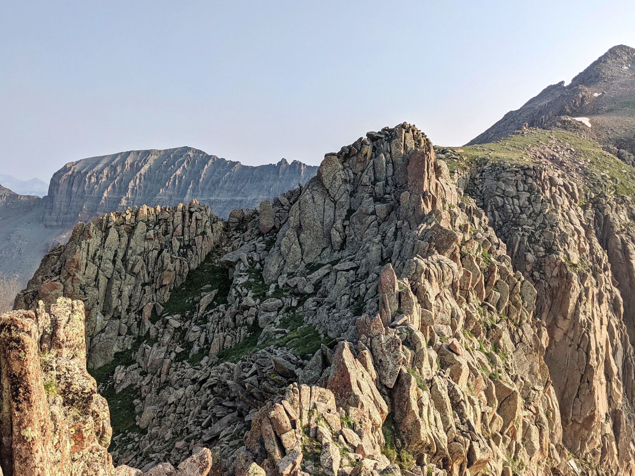
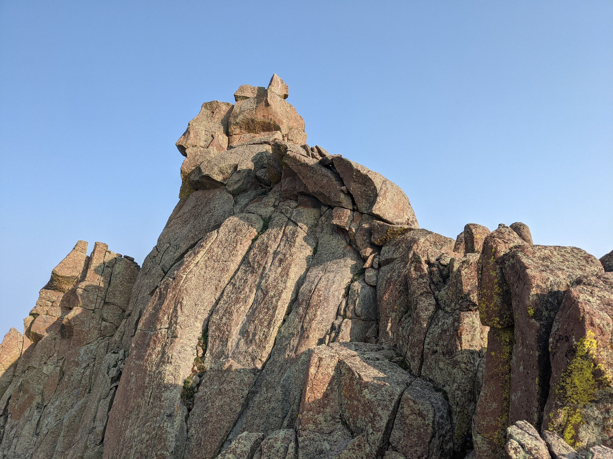
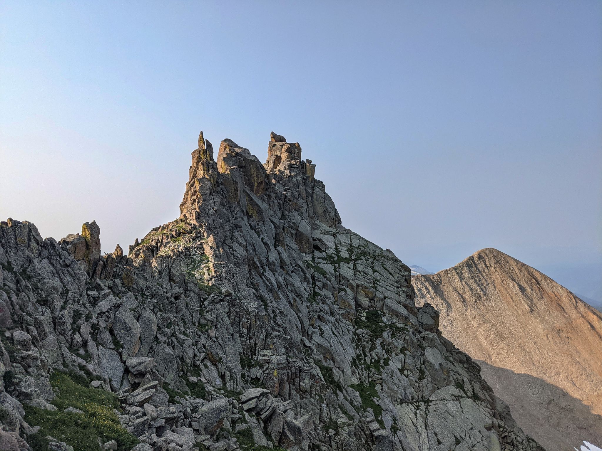
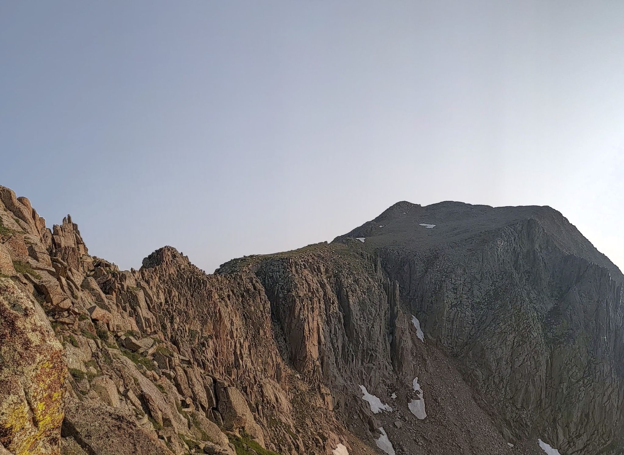
I ended up ascending the grassy basin to the left (west) and found a fun and relatively easy class 3 ridge that traversed over to the top of the loose gully. Highly recommended!
After taking in the smokey views from Grizzly's summit, I descended the loose gully (wasn't too bad) and re-traced my route back to the truck.
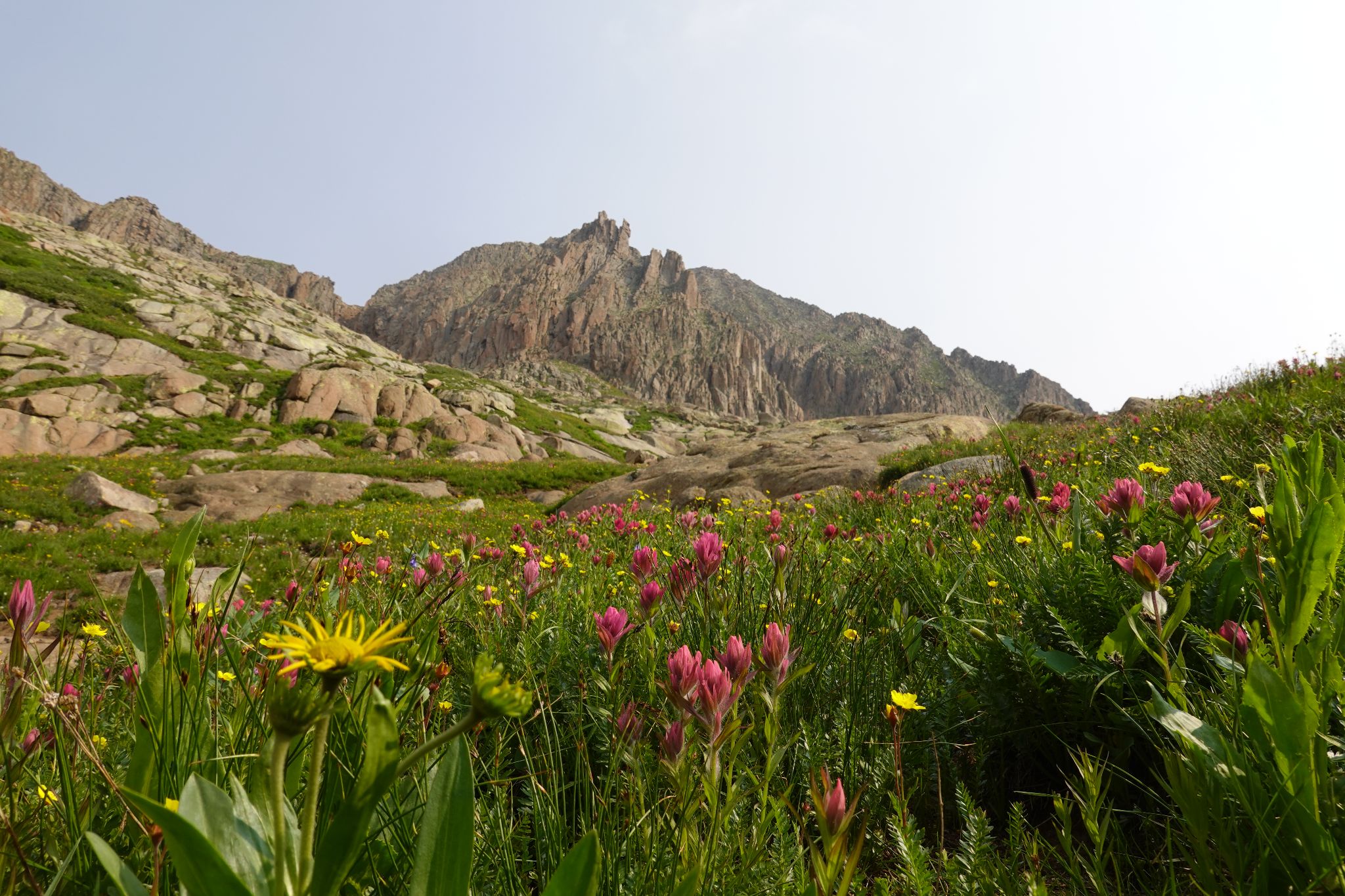
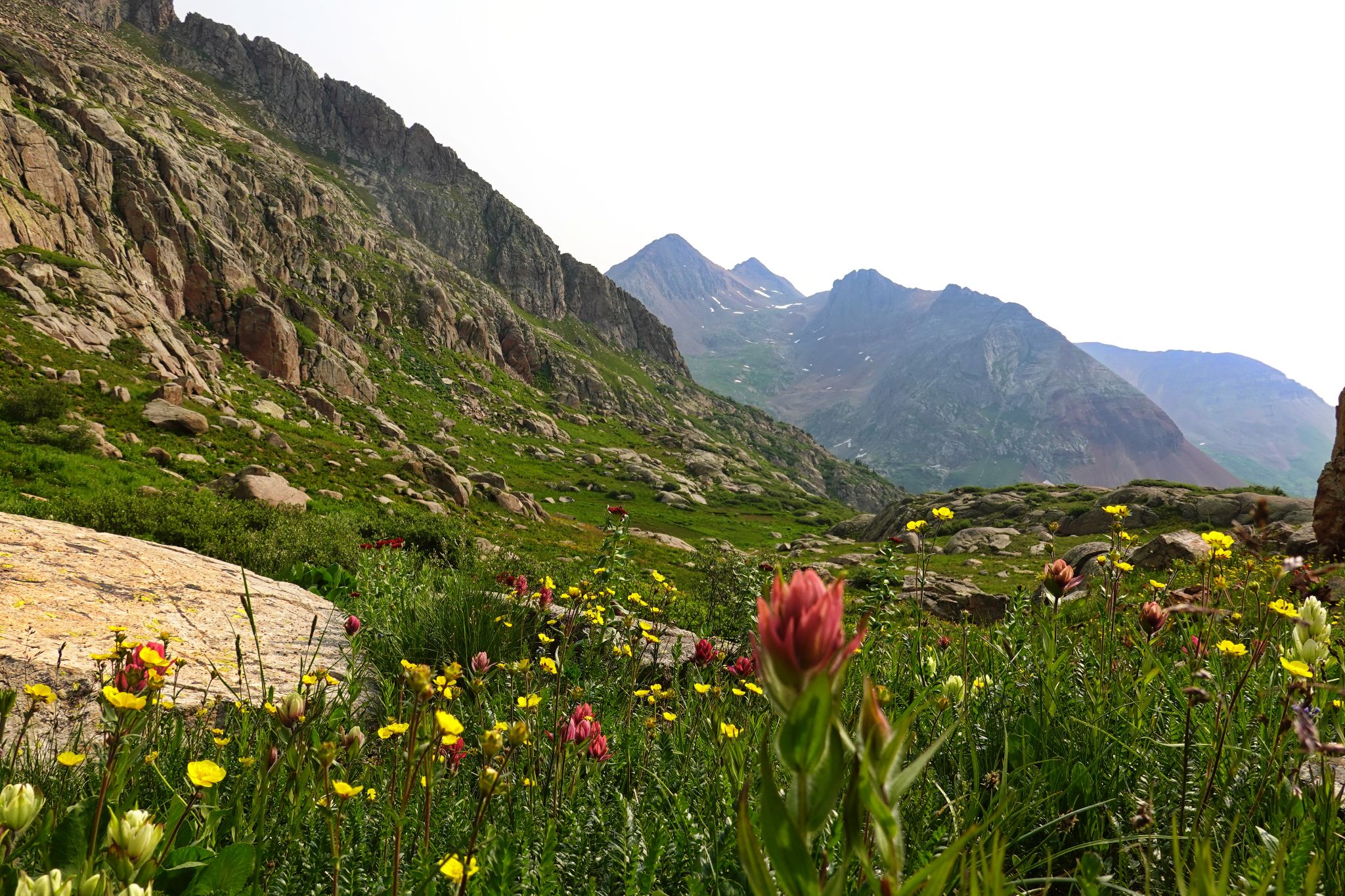
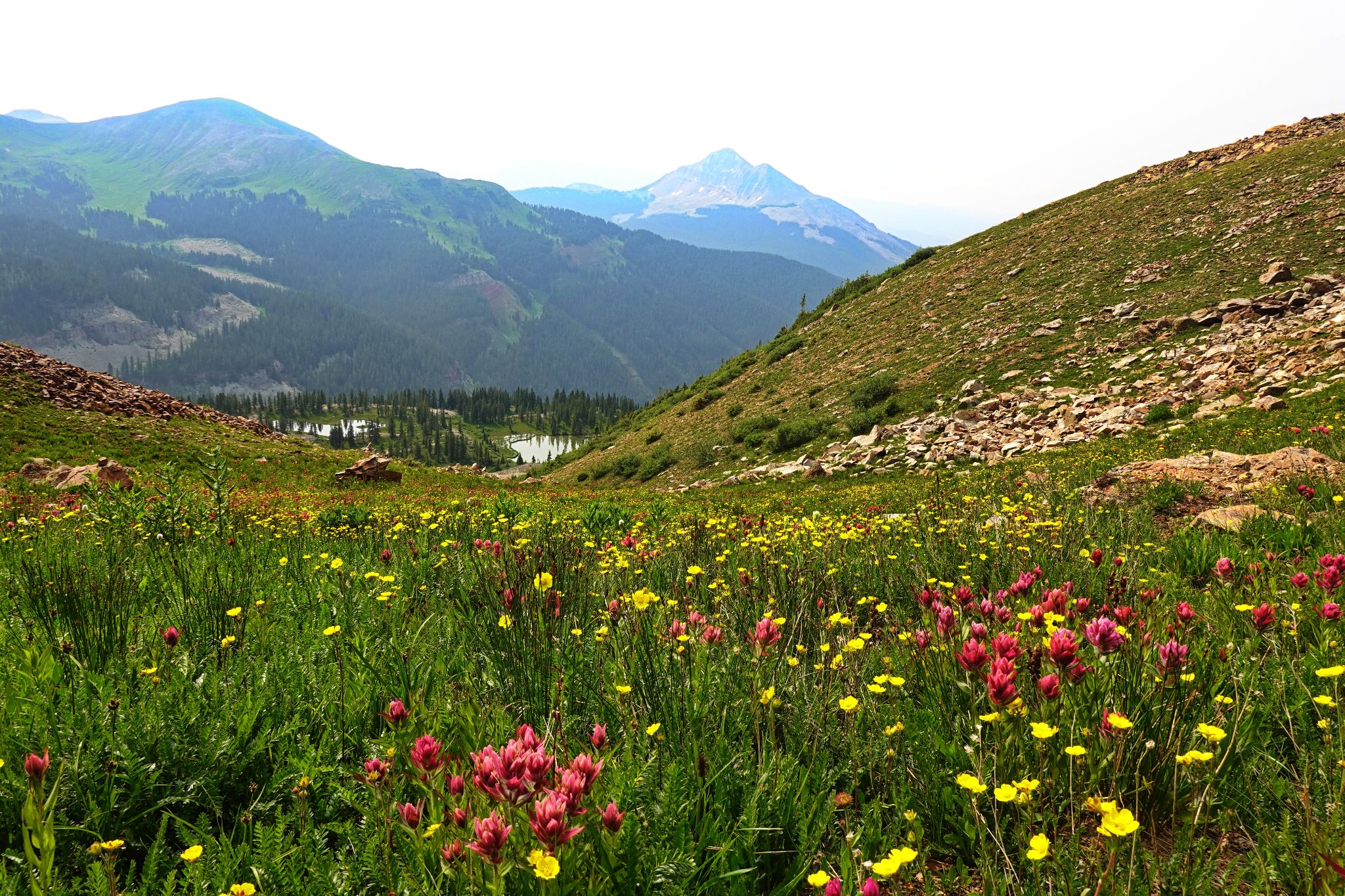
Oh... the wildflowers were off the hook. When the skies are smokey sometimes the views are under your feet.
If you want to tag an unranked 13er consider ascending North Point and connecting over to Grizzly via the ridge
- Consider tagging North Point as an out and back via it's north ridge / Grizzly's south ridge.
![Grizzly peak b 01]()
7.75m - 2900ft - 5hrs
![Grizzly peak b 02h]()
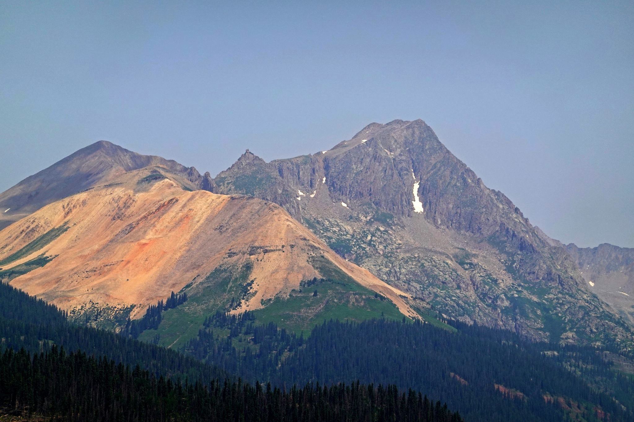
North Point and Grizzly from FS579
![Grizzly peak b 03]()
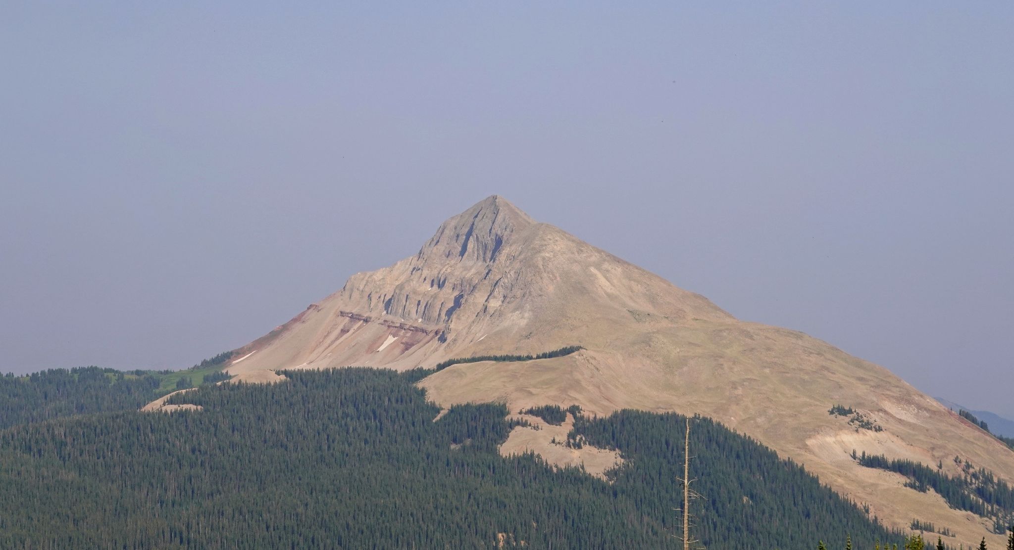
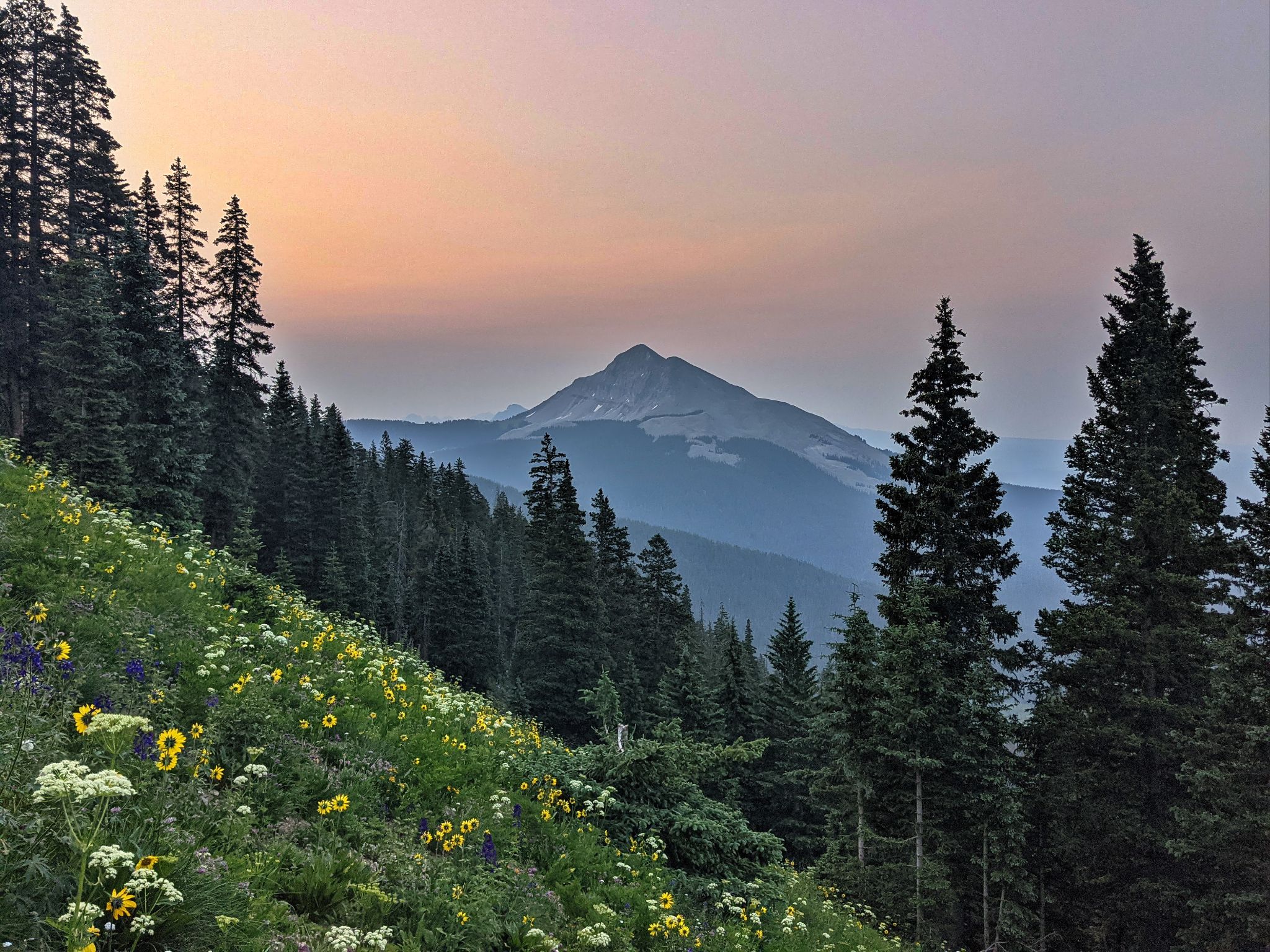
12er Engineer Mountain from camp
![Grizzly peak b 04]()
Engineer in the hazy wildfire skies
![Grizzly peak b 05]()
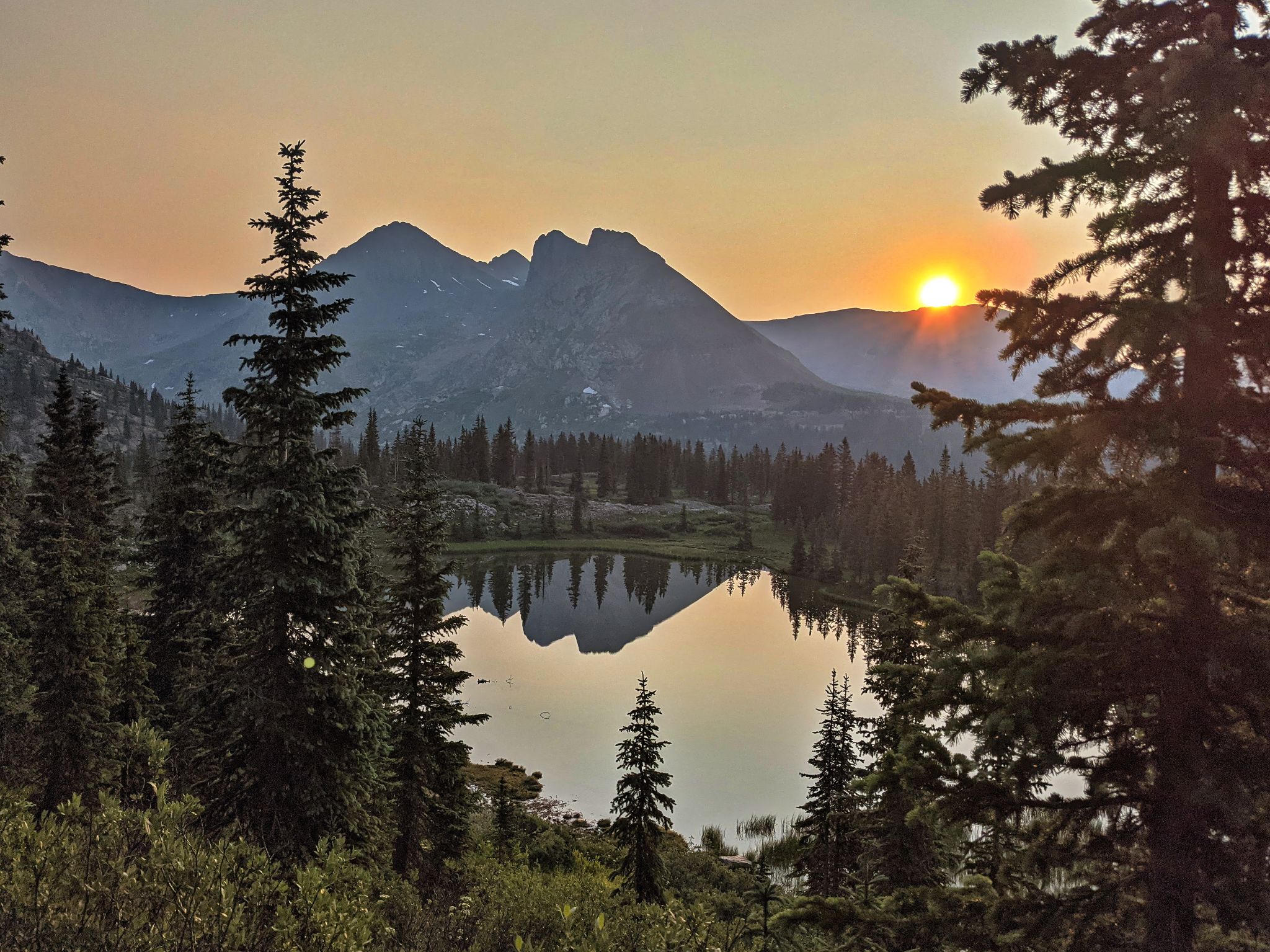
Smokey Sunrise Reflection
![Grizzly peak b 06]()
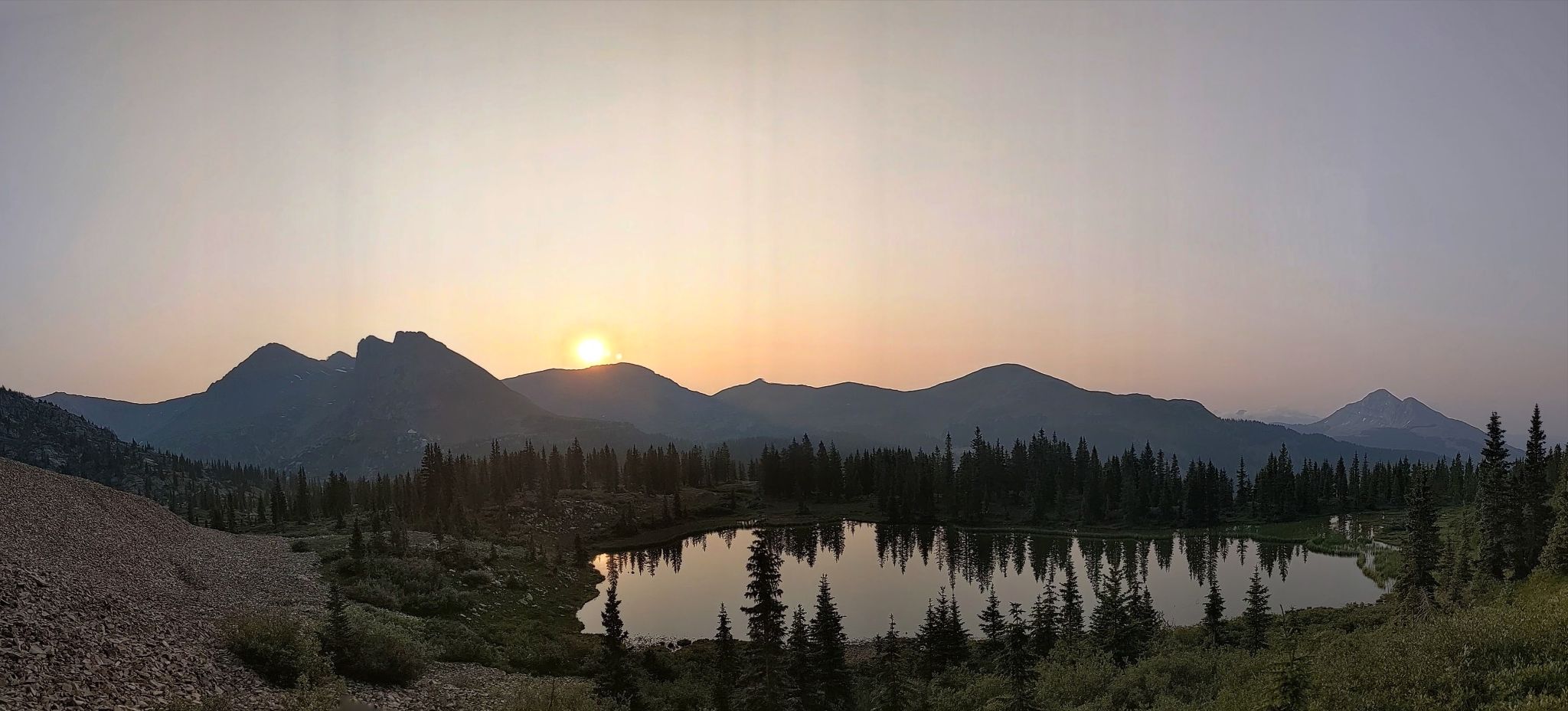
PANO: Engineer far left - Rolling far right
![Grizzly peak b 07]()
Grizzly comes into view - follow the stamped down scree trail
![Grizzly peak b 08]()
Rocky meadows and wildflowers above the scree crossings
![Grizzly peak b 09]()
![Grizzly peak b 10]()
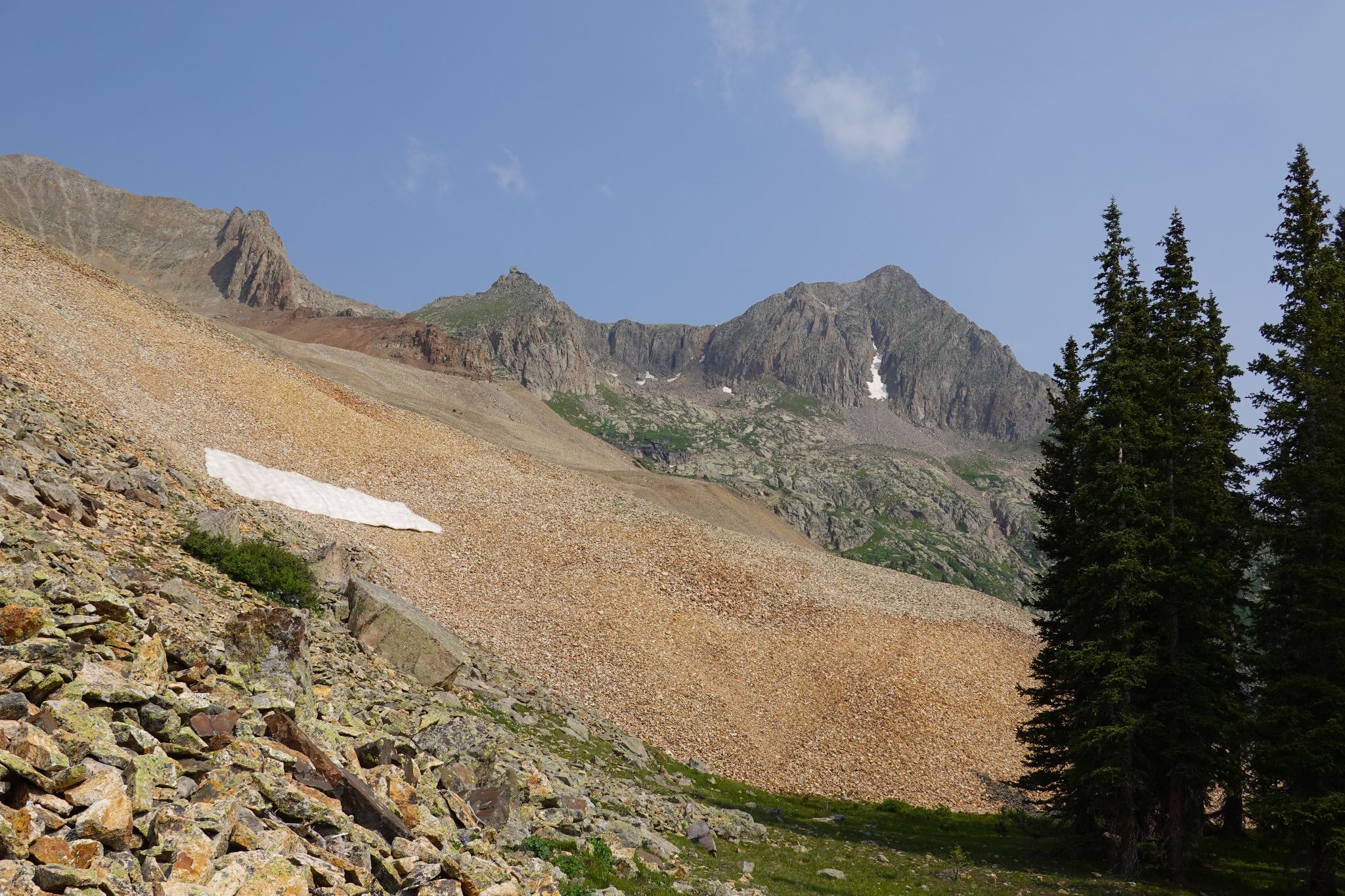
Resist ascending the loose gully ahead... the one with a spec of snow midway up
![Grizzly peak b 11]()
This is where I climbed to the ridge
![Grizzly peak b 12]()
Looking south to a bump from the start of the ridge. I went right here (north) towards Grizzly.
![Grizzly peak b 13]()
The scramble begins
![Grizzly peak b 14]()
Fairly easy class 3 - V10 upper left
![Grizzly peak b 15]()
![Grizzly peak b 16]()
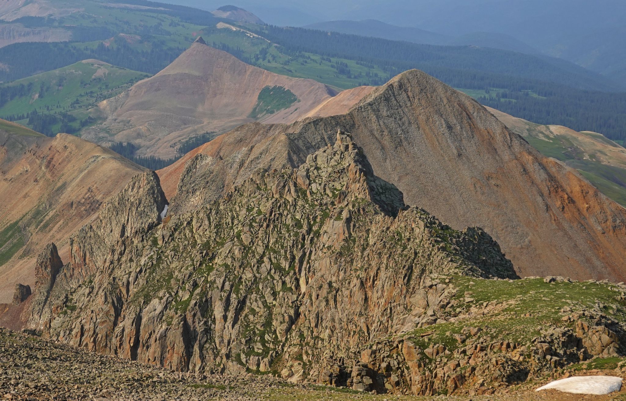
Looking back across the ridge
![Grizzly peak b 17]()
Looking north... Grizzly in the sights
![Grizzly peak b 18]()
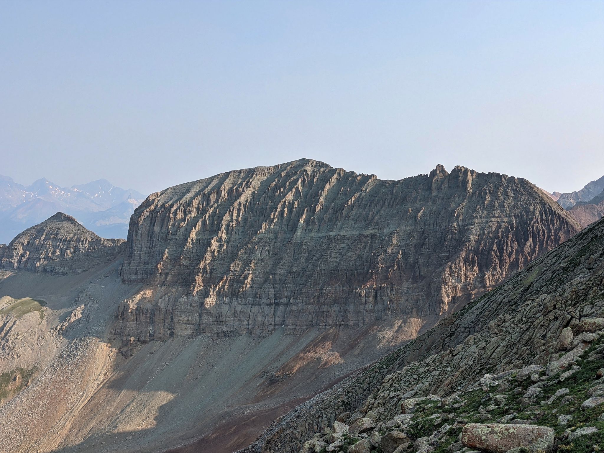
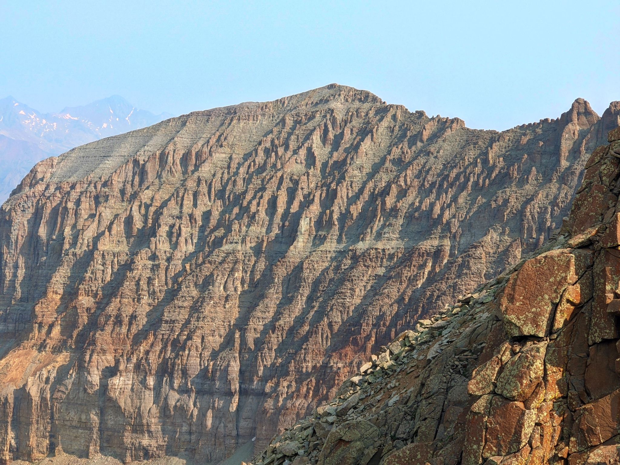
V10 looks awesome!
![Grizzly peak b 19]()
V10 - Such texture
![Grizzly peak b 20]()
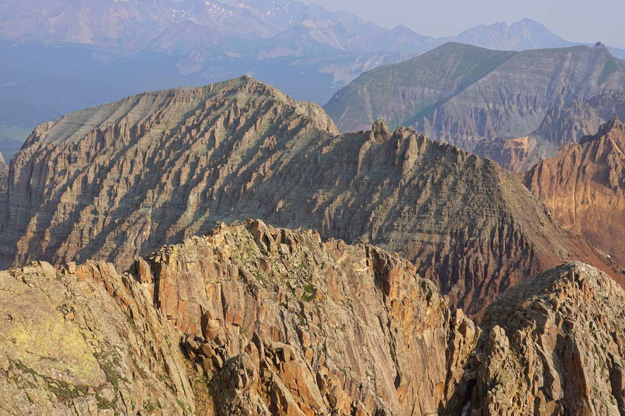
Looking back to the ridge from just below Grizzly's summit
![Grizzly peak b 21]()
Summit view of San Miguel to the north
![Grizzly peak b 22]()
V10
![Grizzly peak b 23]()
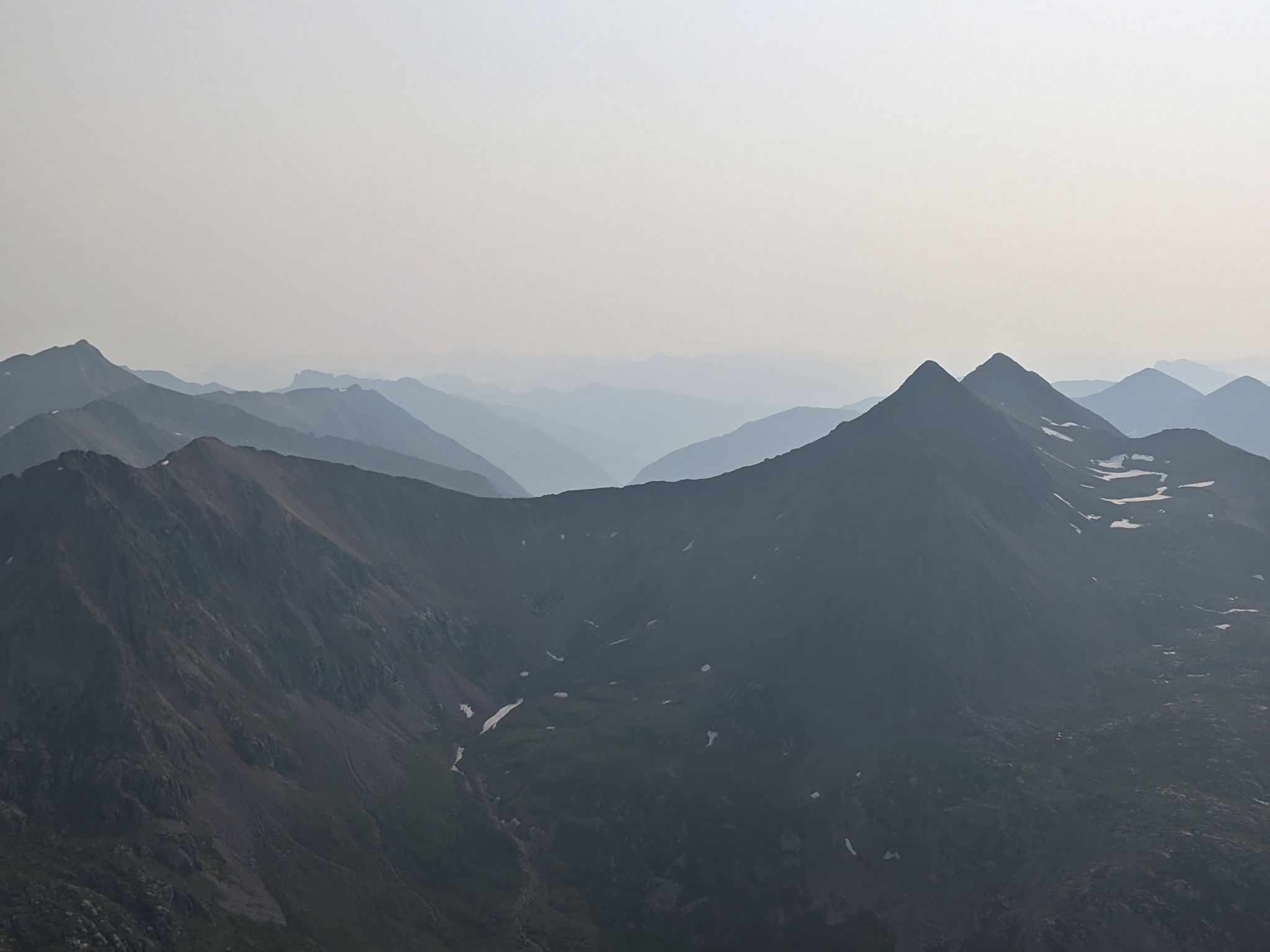
Smokey view of Rolling to the east - looking double D to me
![Grizzly peak b 24]()
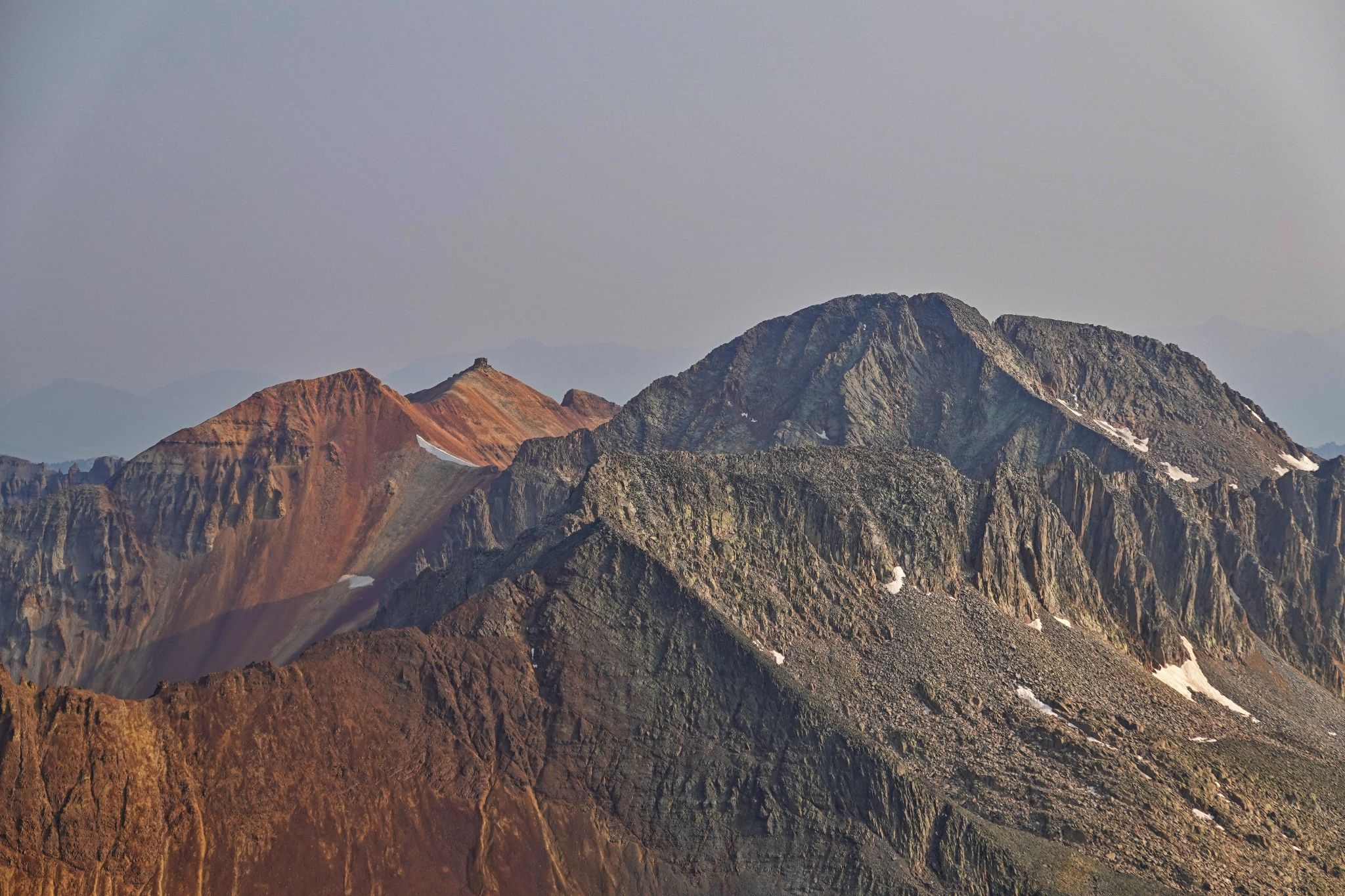
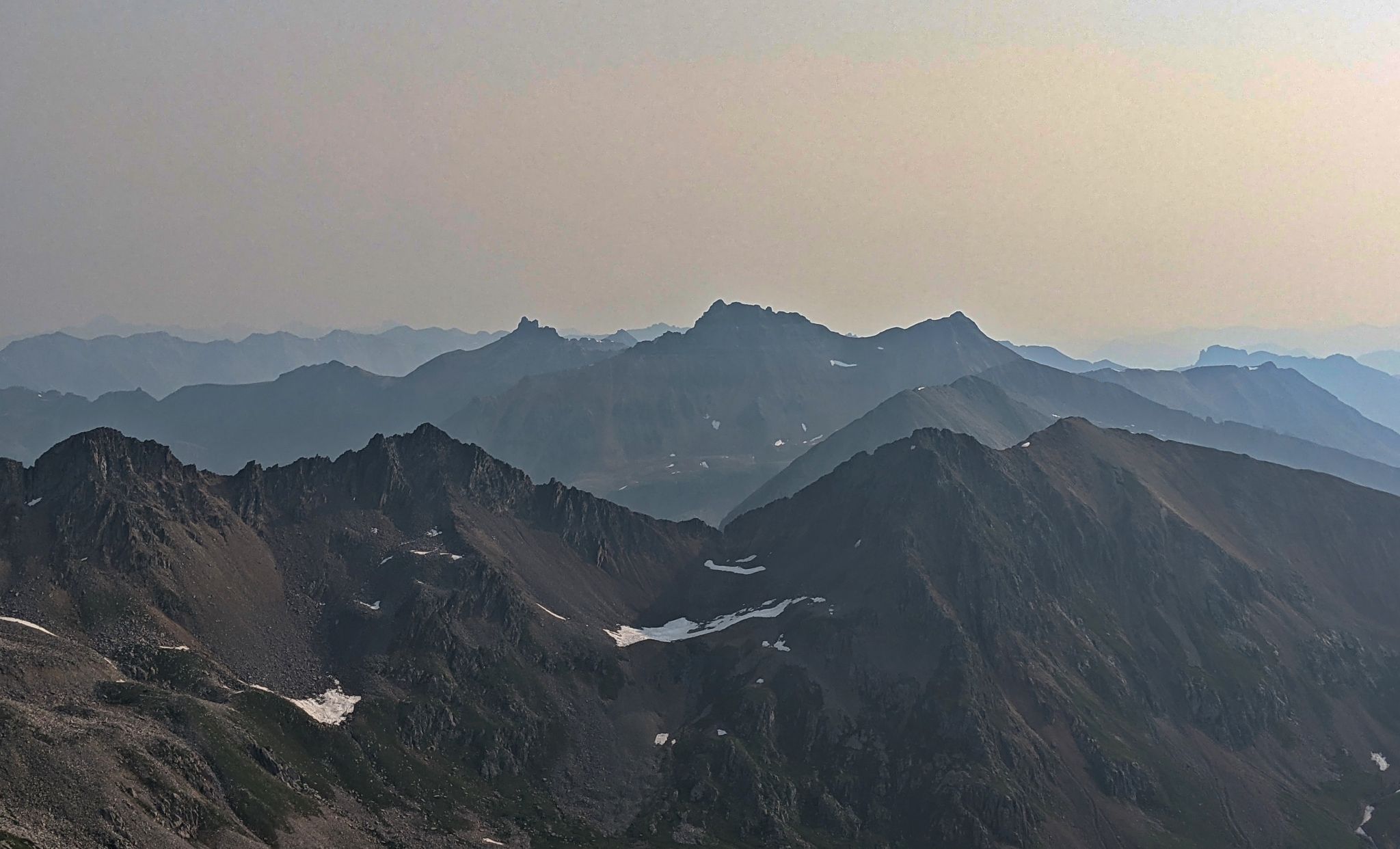
Vermillion and friends in the haze
![Grizzly peak b 25]()
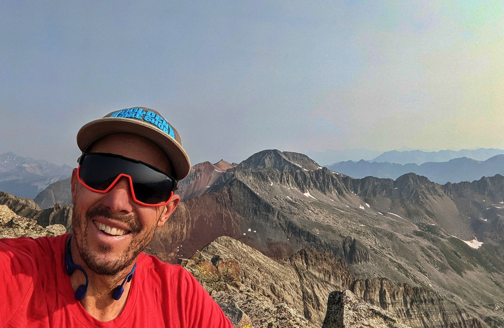
Summit selfie with San Miguel behind
![Grizzly peak b 26]()
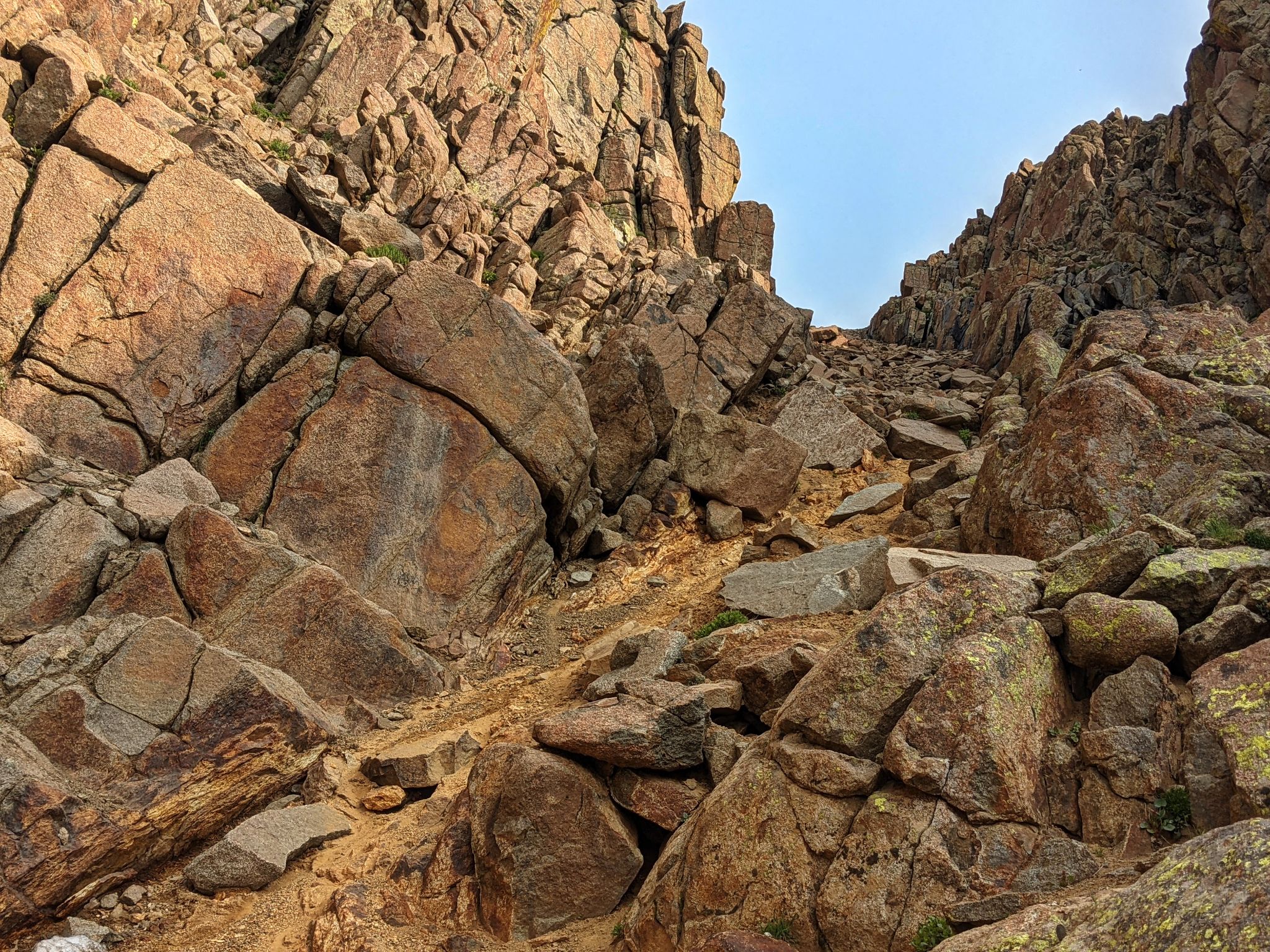
Instead of traversing back over the ridge I descended the gully. It wasn't too bad.
![Grizzly peak b 27]()
Nice to be back on the grass
![Grizzly peak b 28]()
Back through the wildflowers from which I came