Steven's Circumnavigation
Date: 09/30/2023
Partners: Alex Neal (Junior), David Hughes
Trailhead: I-70 Bakersville
Summits:
* Kelso Mountain
* Torreys Peak
* Grays Peak
* Mount Edwards
* McClellan Mountain
Distance: 13.4 miles
Elevation Gain: 6750ft
Duration: 8.5hrs
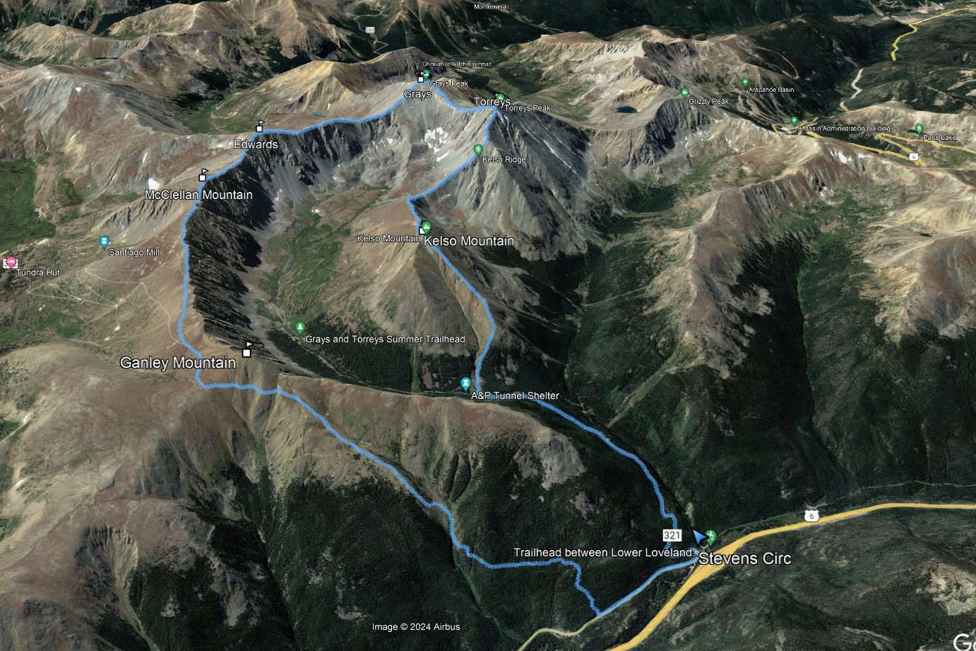
Given the amount of time we spend in Steven's Gulch, it only seemed appropriate to circumnavigate the ridges that define this awesome zone.
![Stevens circ 01]()
13.4m - 6750ft - 8.5hrs
![Stevens circ 02]()
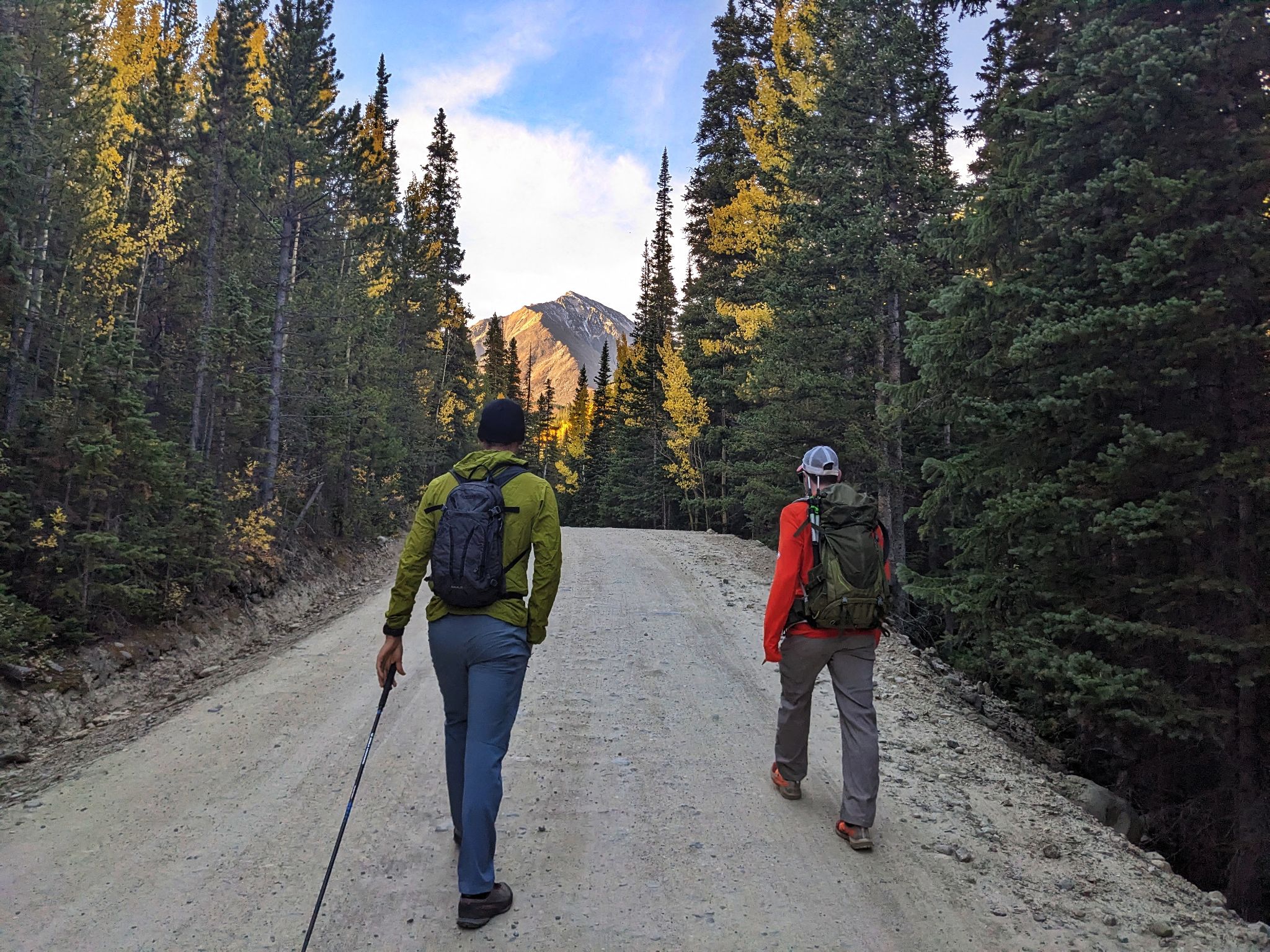
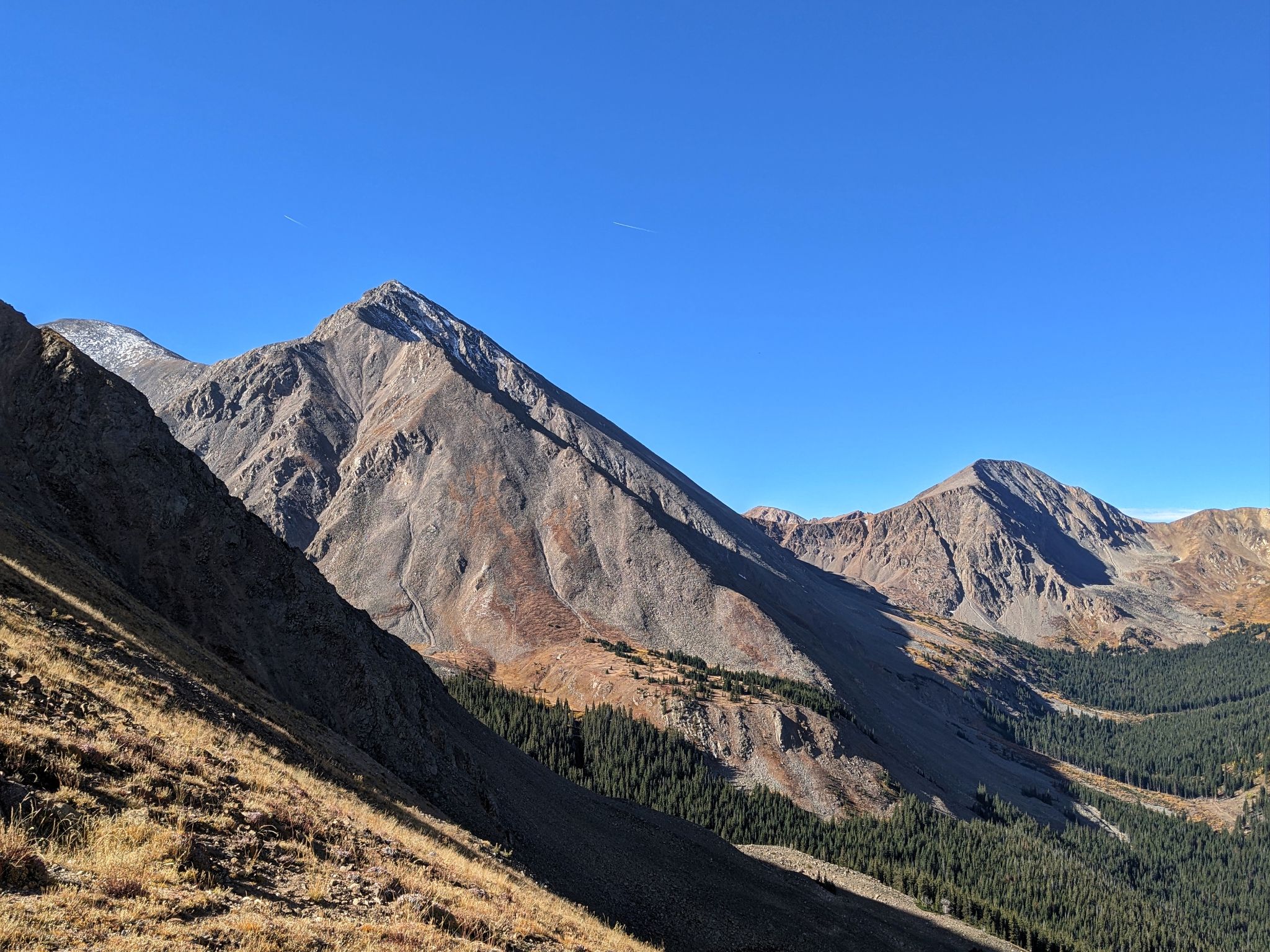
From the highway we headed up the road. Torreys ahead
![Stevens circ 03]()
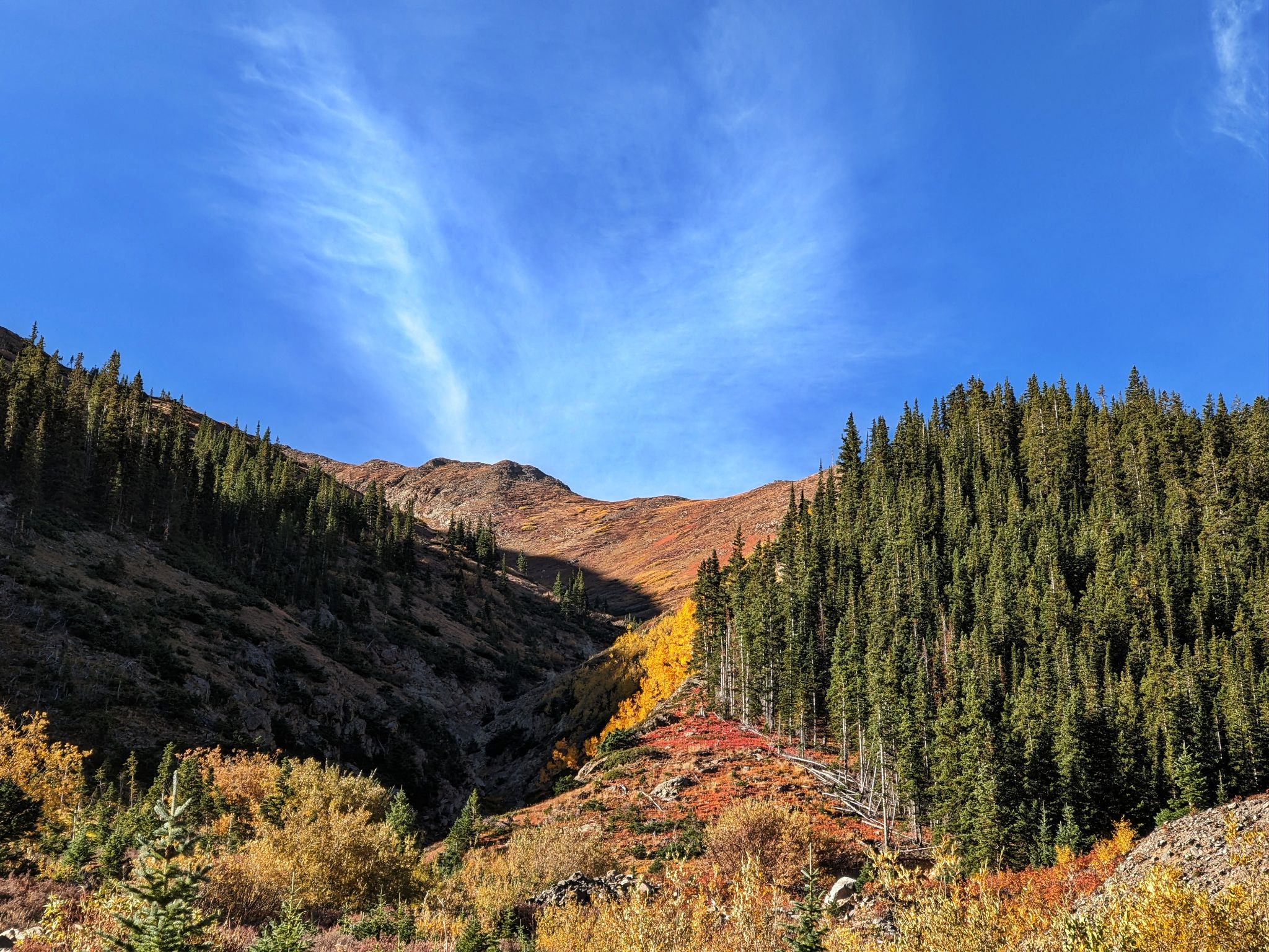
We left the road and climbed Kelso's north ridge
![Stevens circ 04]()
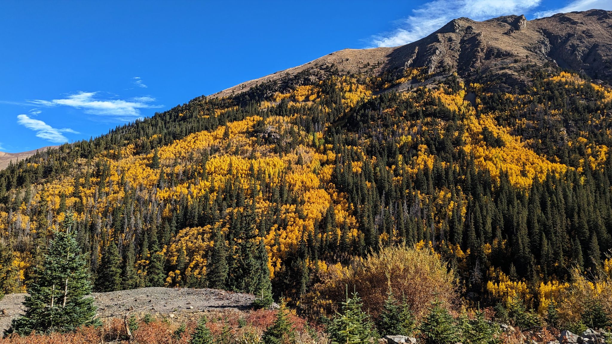
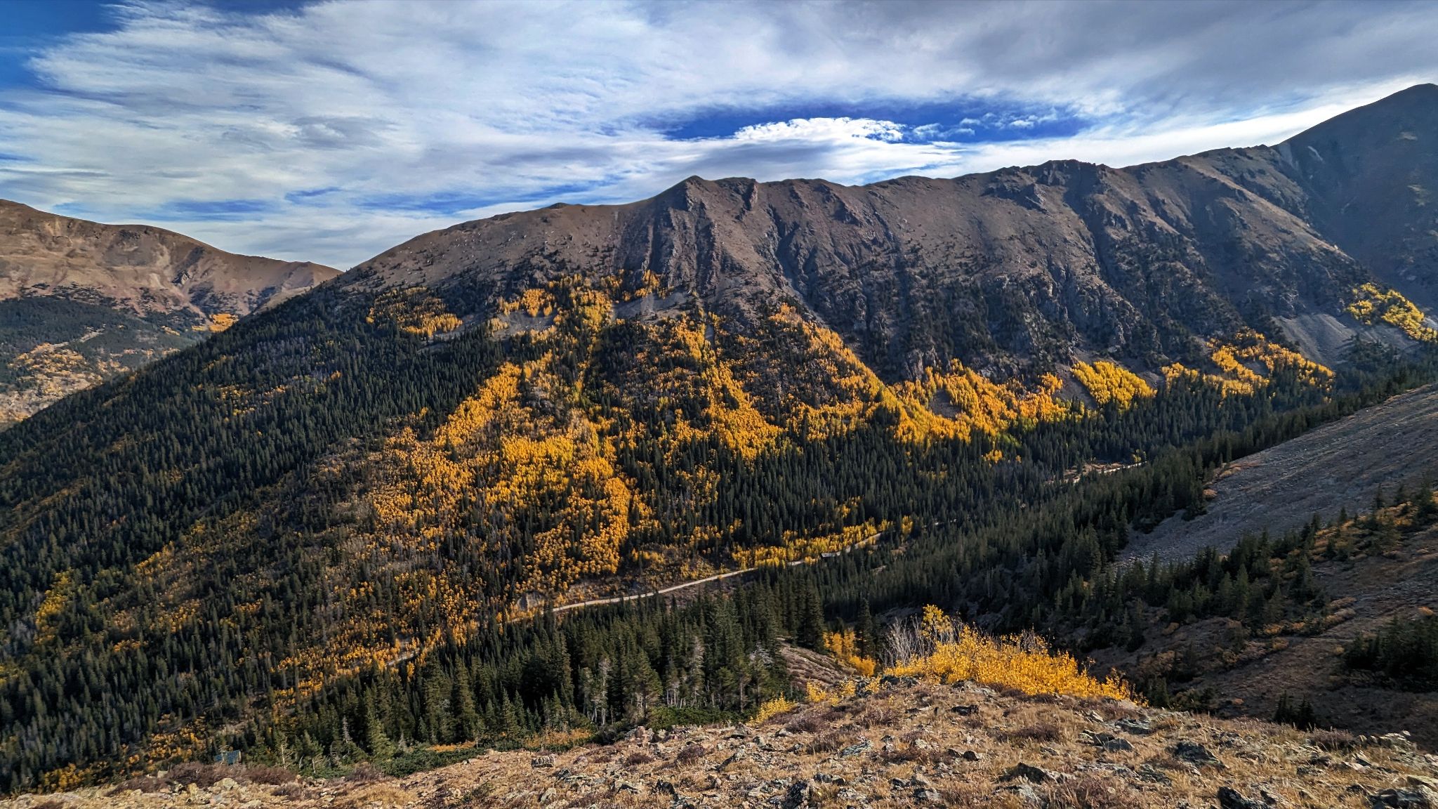
The colors were poppin!
![Stevens circ 05]()
Looking east from Kelso's north ridge
![Stevens circ 06]()
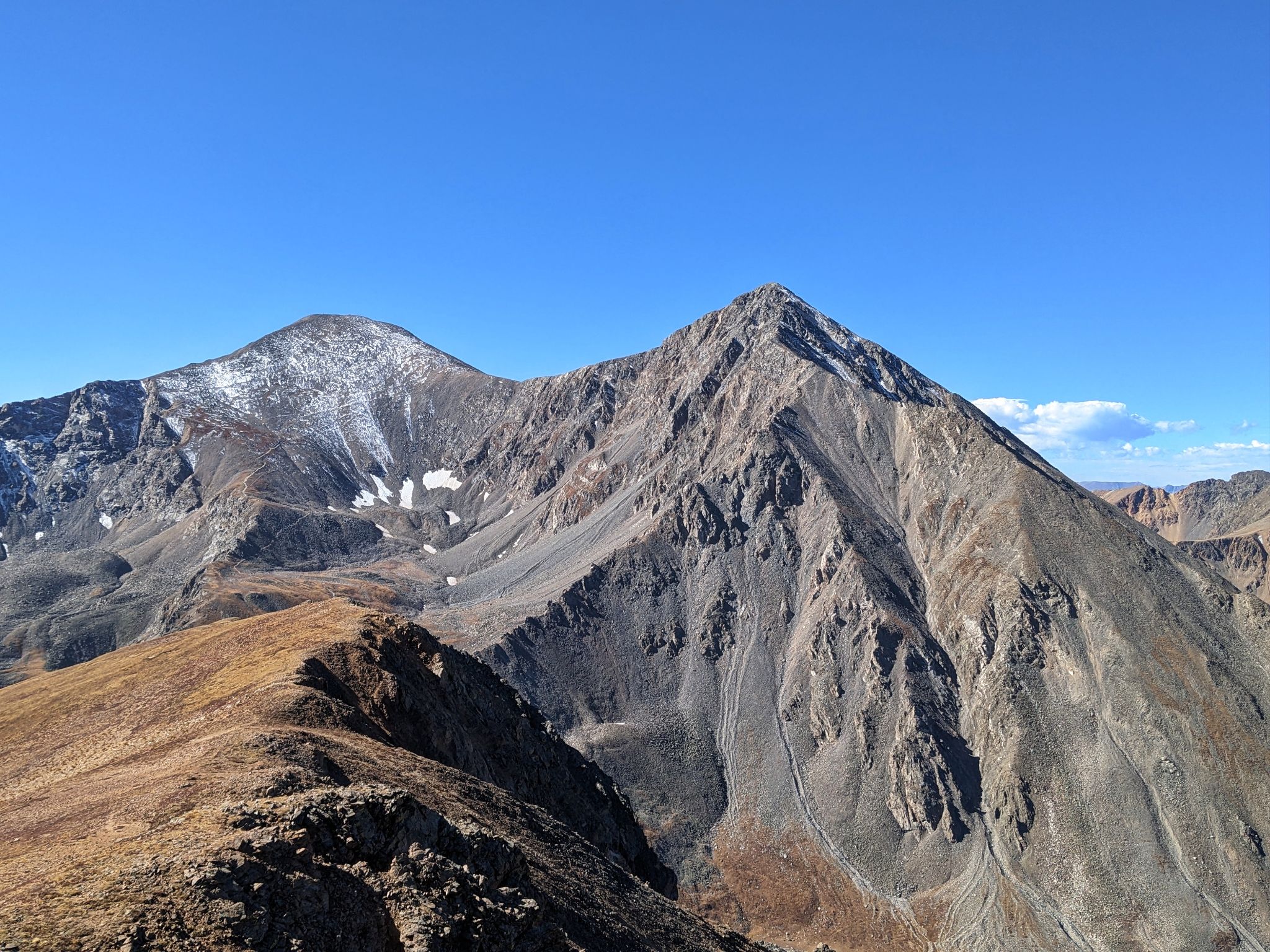
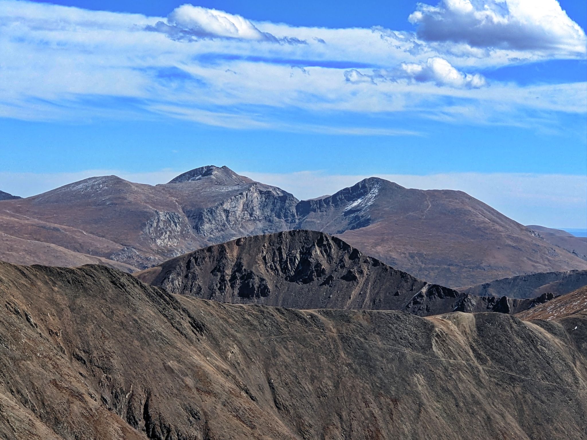
Torreys from Kelso's north ridge. Grays popping out on the left. Grizzly to the right
![Stevens circ 07]()
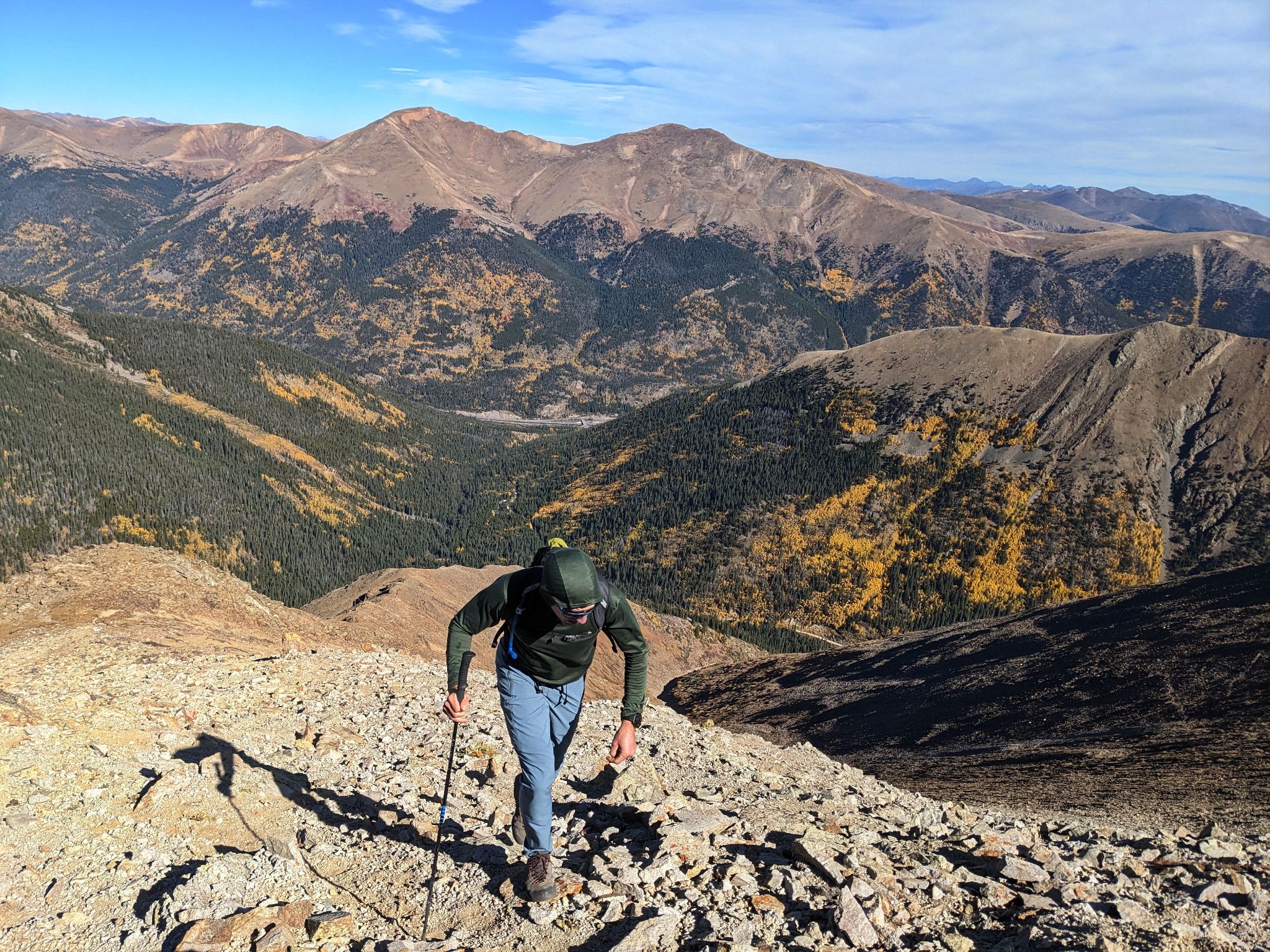
Junior on Kelso's north ridge with Parnassus and Bard behind
![Stevens circ 08]()
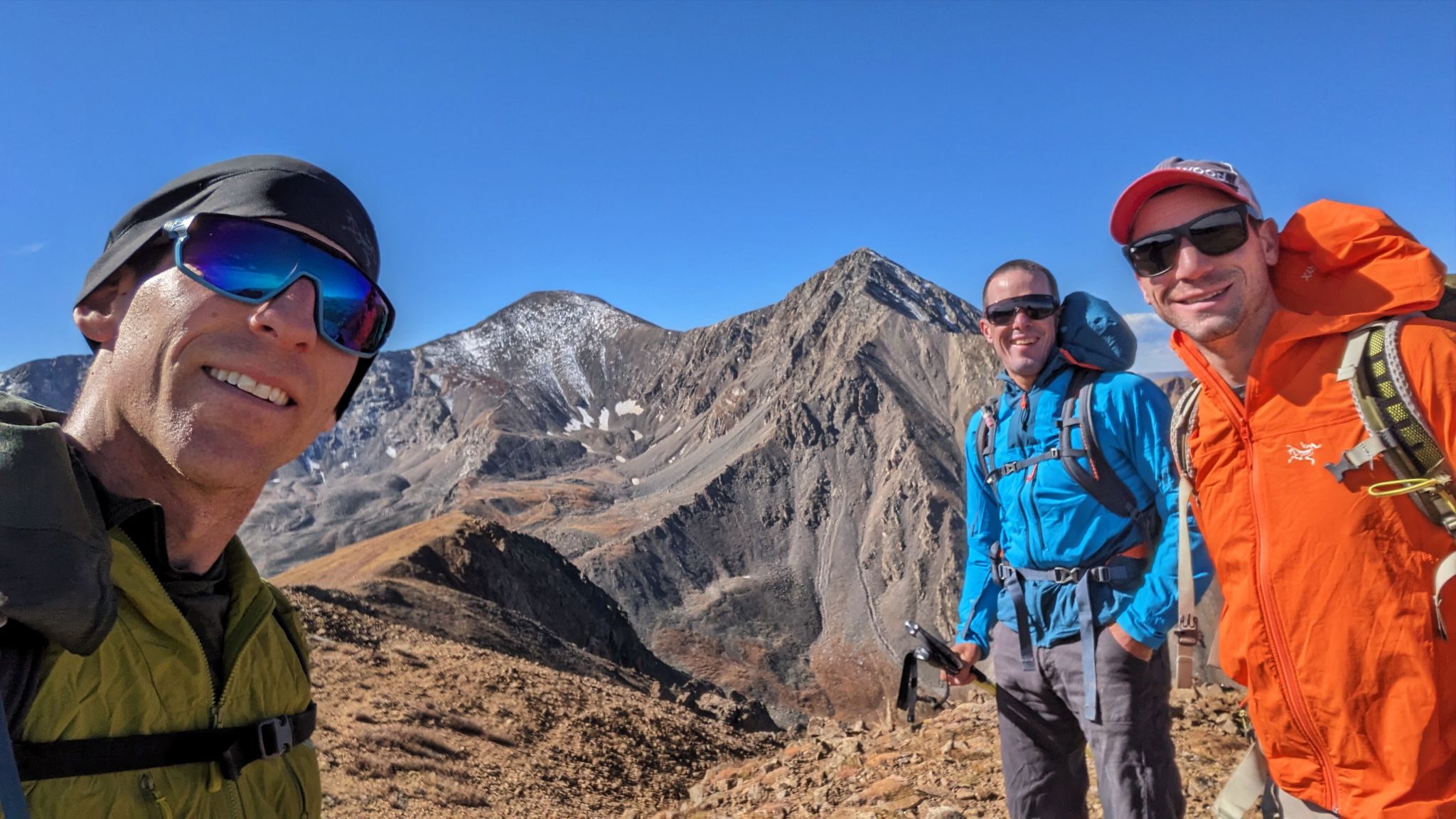
Kelso's summit with Grays and Torreys behind. One down... four to go
![Stevens circ 09]()
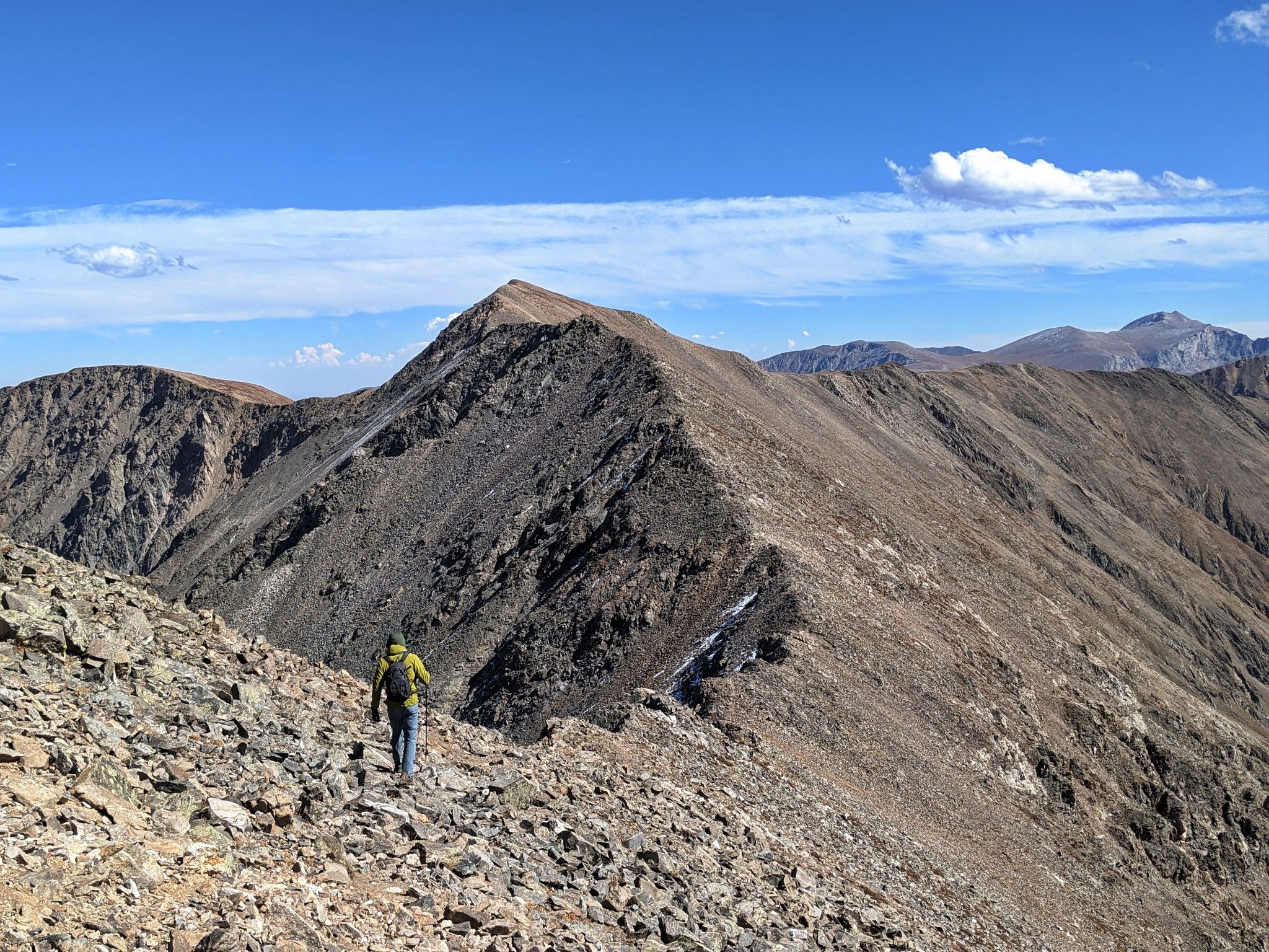
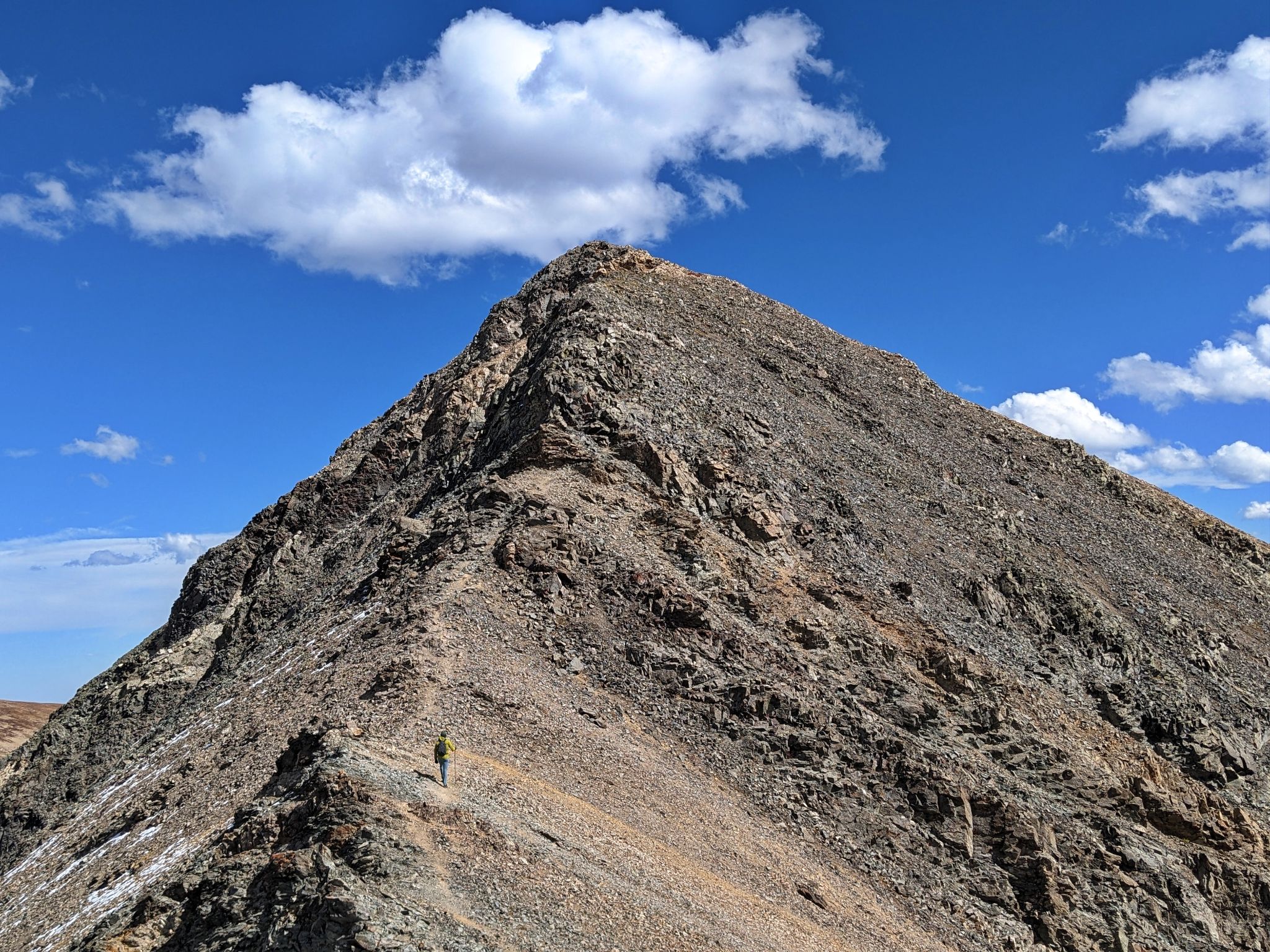
Next stop Torreys via Kelso ridge
![Stevens circ 10]()
![Stevens circ 11]()
![Stevens circ 12]()
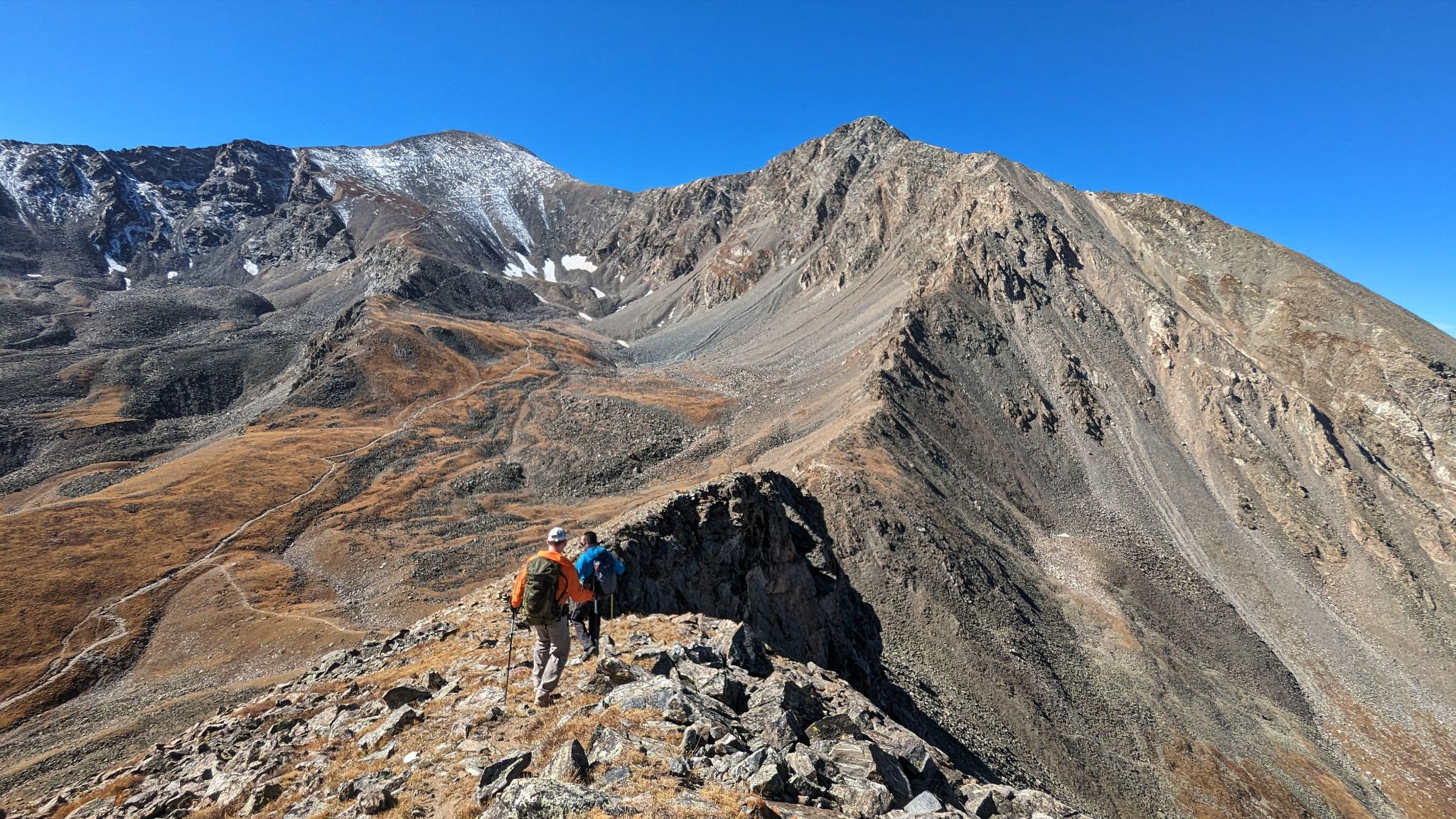
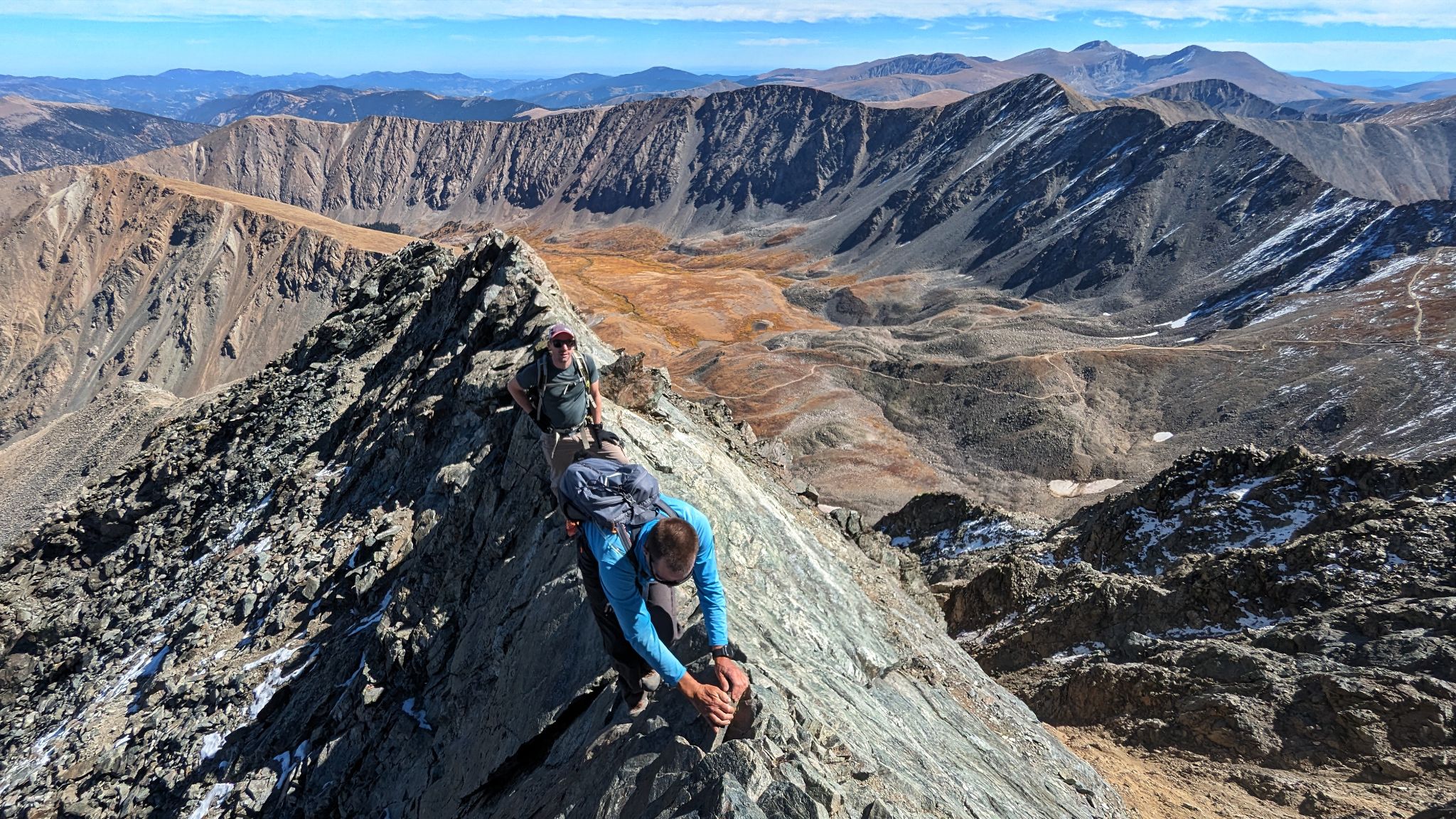
A great view of our circumnavigation from Kelso Ridge's knife edge
![Stevens circ 13]()
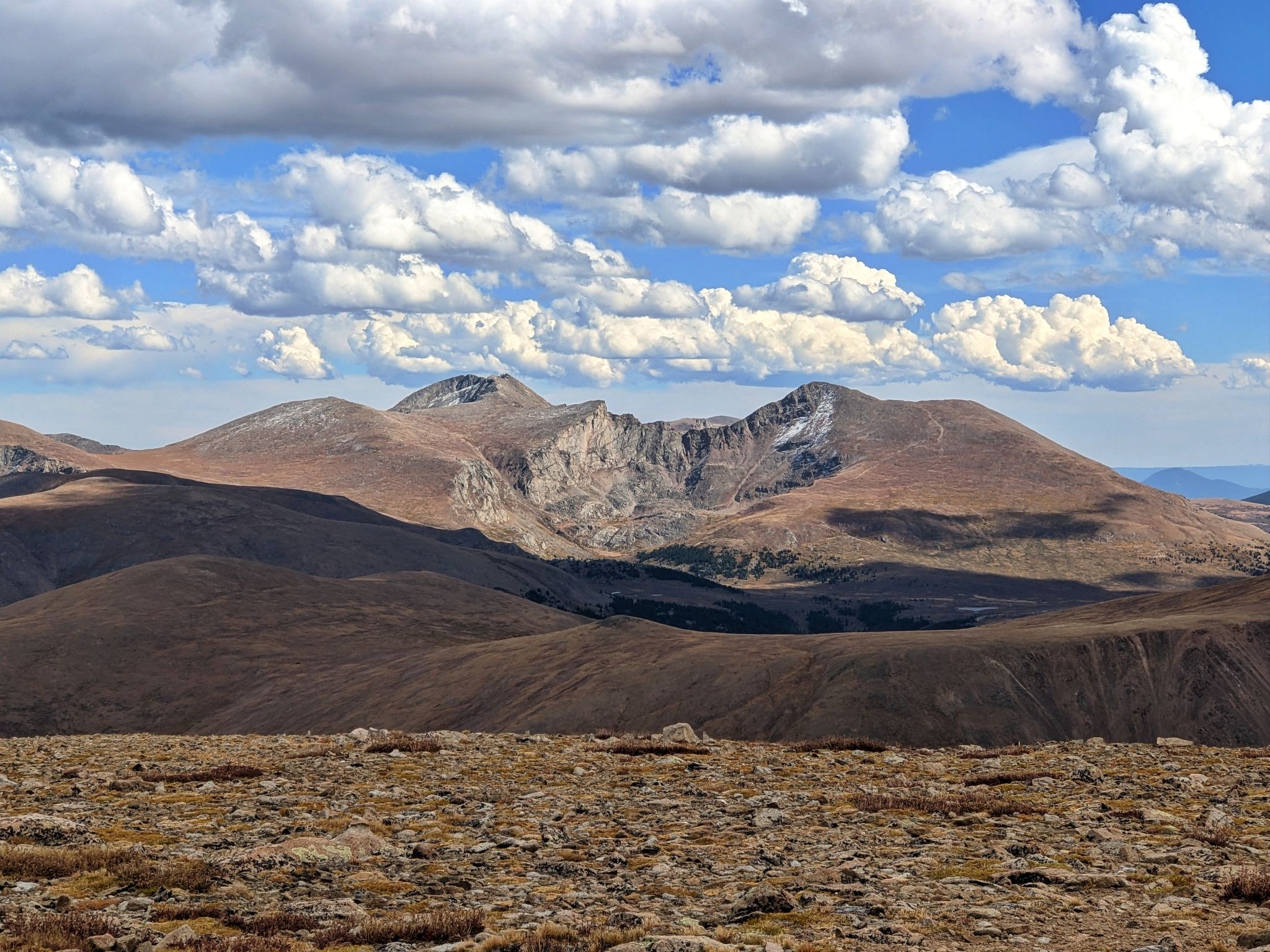
Sawtooth Ridge, Bierstadt and Blue Sky to the east
![Stevens circ 14]()
After summitting Torreys and Grays we made our way to Edwards
![Stevens circ 15]()
Looking across to Torreys from the Grays - Edwards saddle
![Stevens circ 16]()
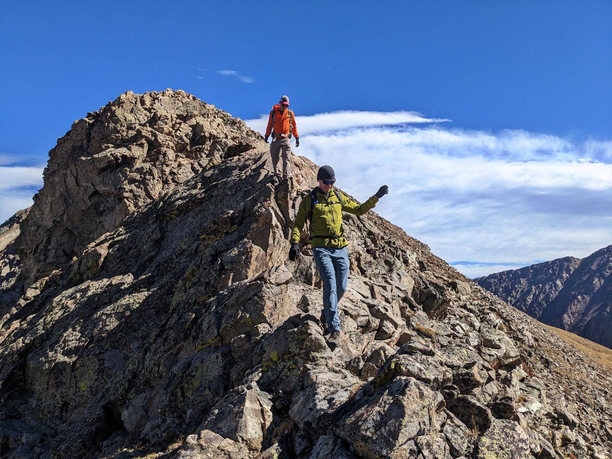
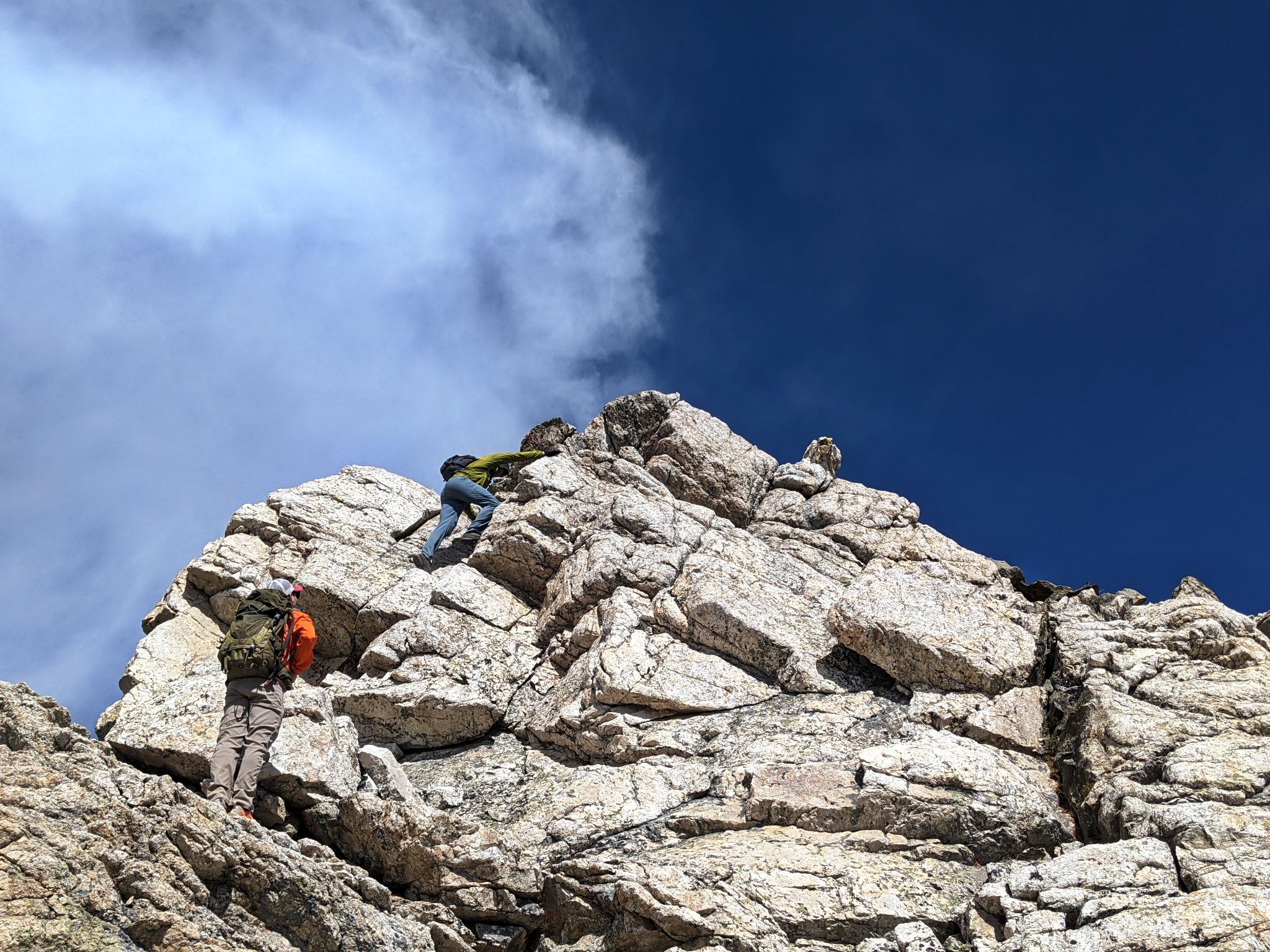
Up some scrambly bits enroute to Edwards
![Stevens circ 17]()
Last pitch to Edwards
![Stevens circ 18]()
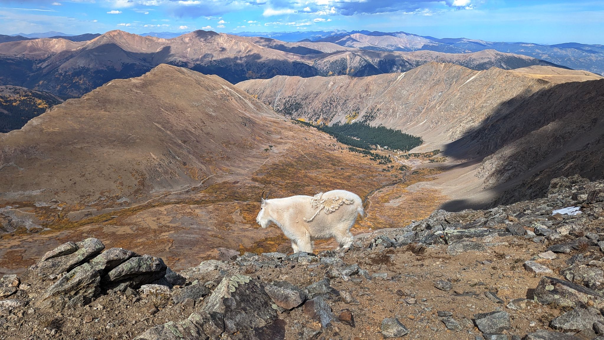
Steven's Gulch locals
![Stevens circ 19]()
![Stevens circ 20]()
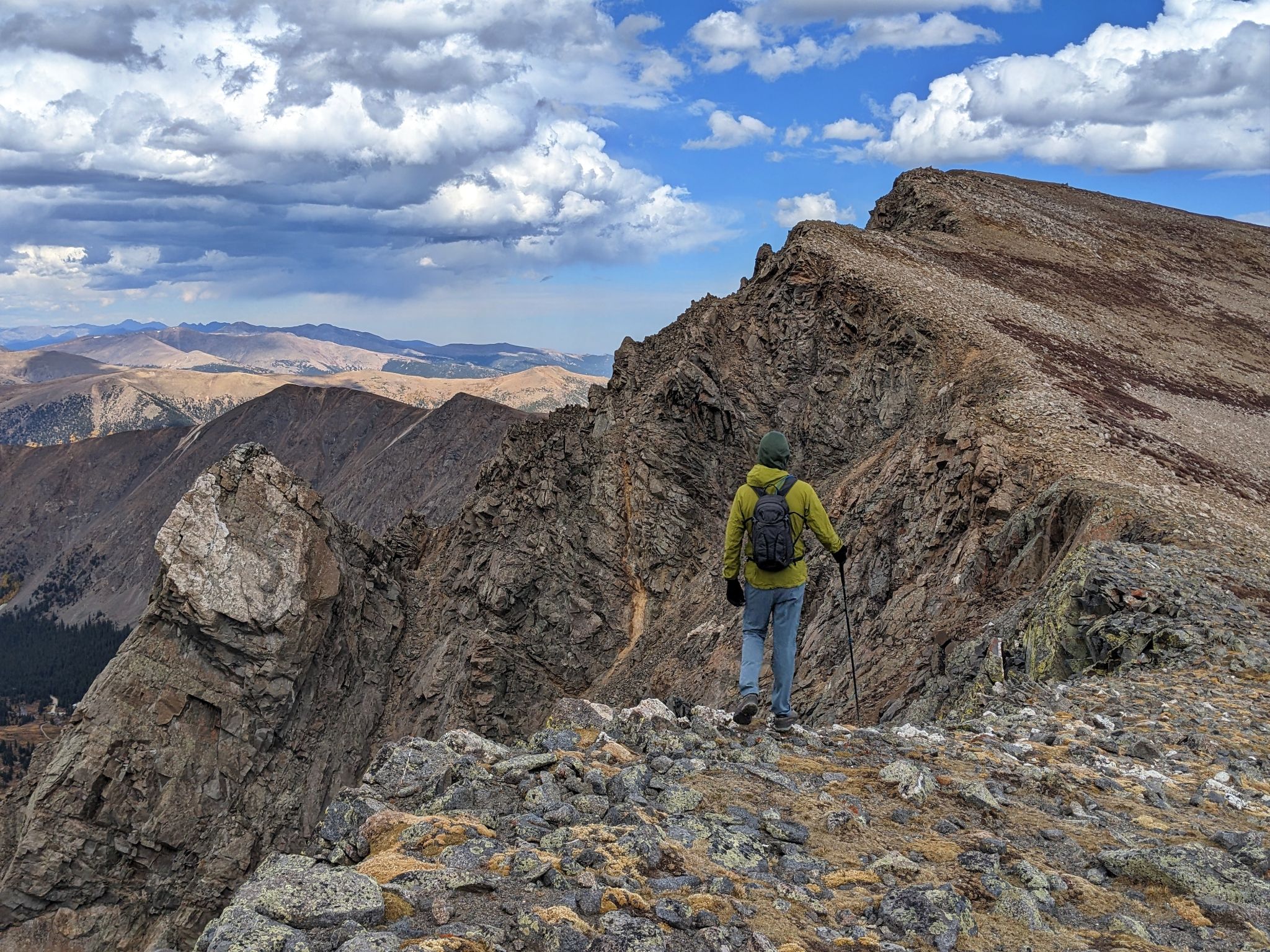
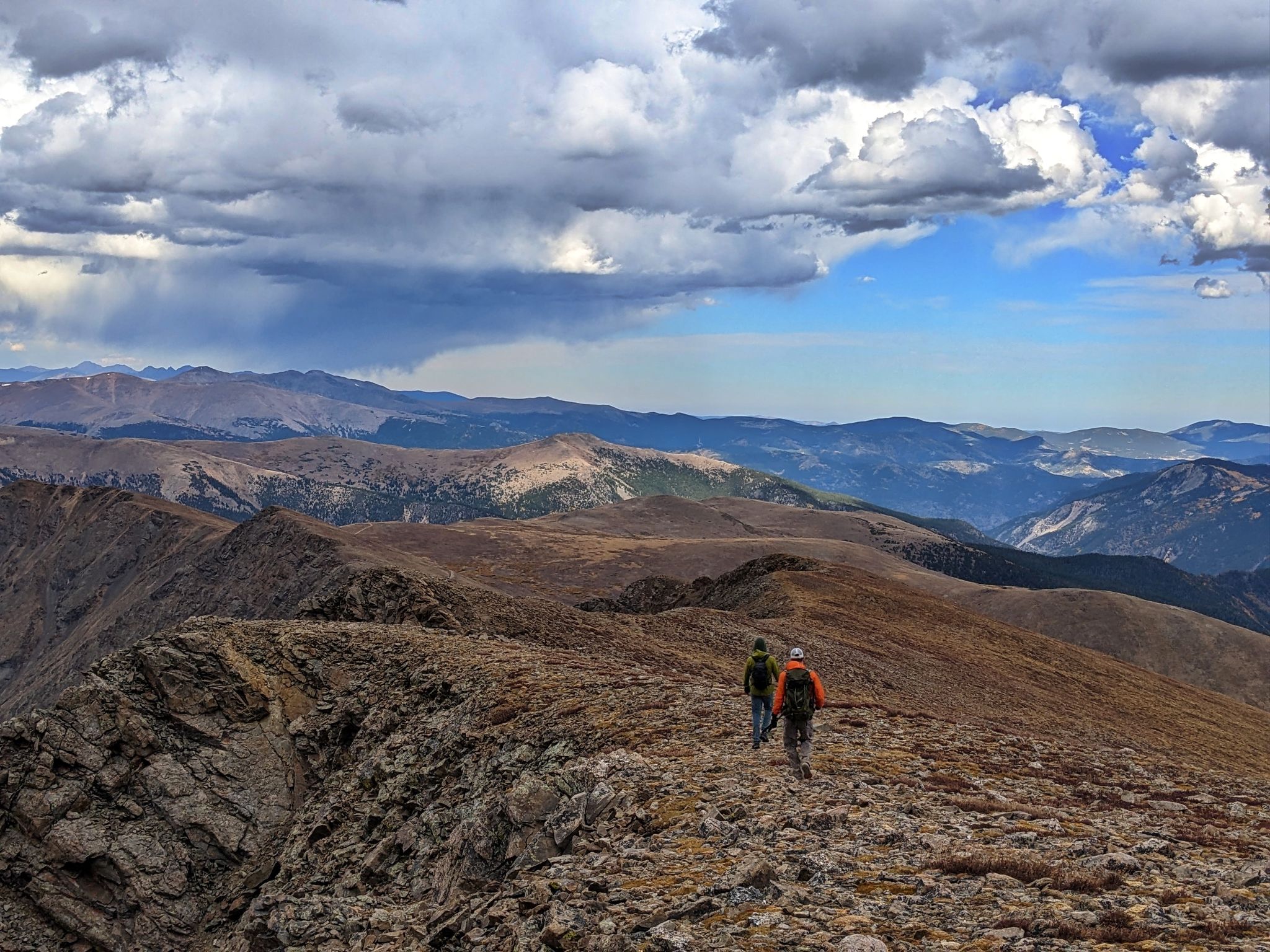
Hiking towards McClellan
![Stevens circ 21]()
More Sawtooth views
![Stevens circ 22]()
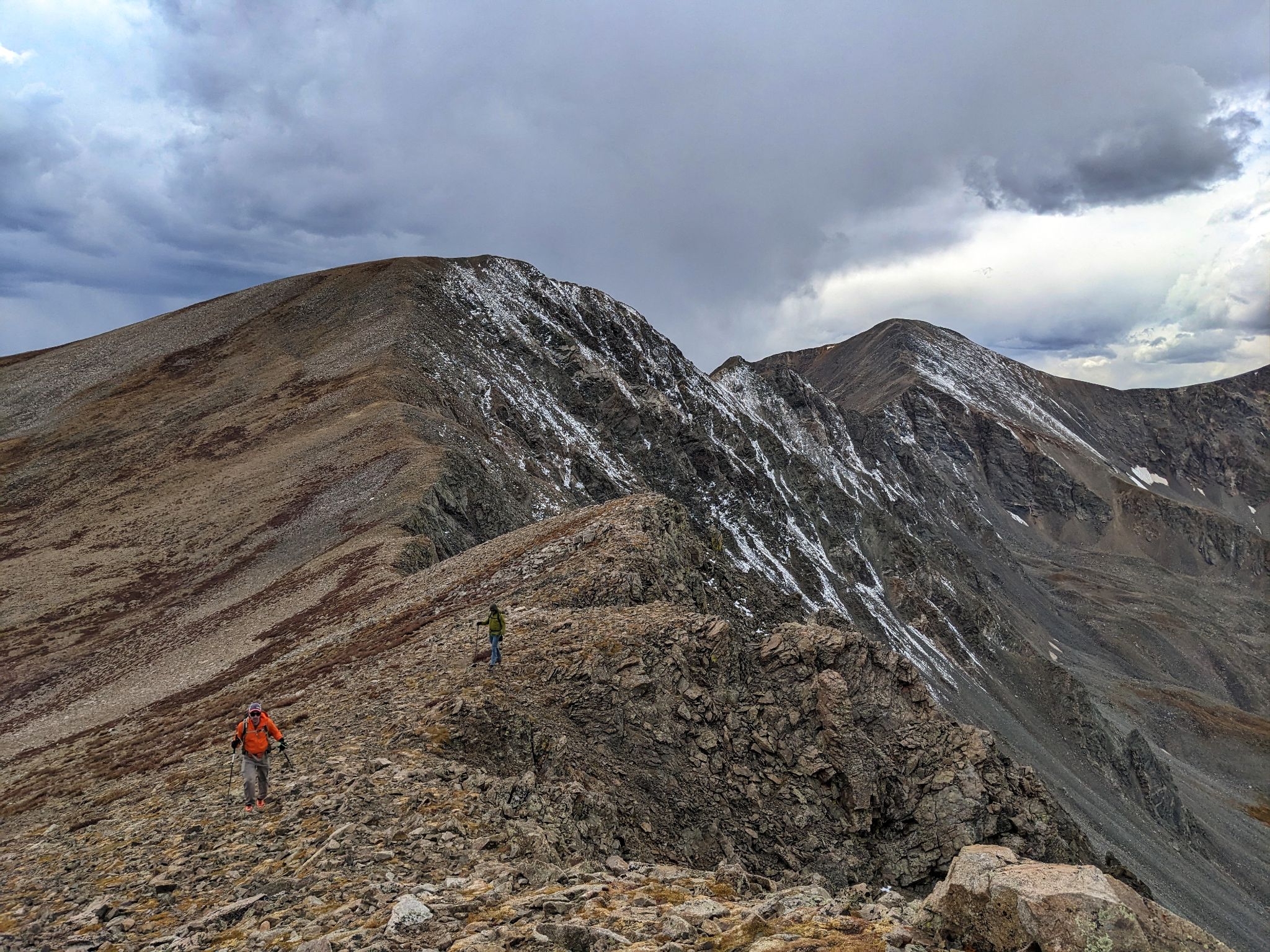
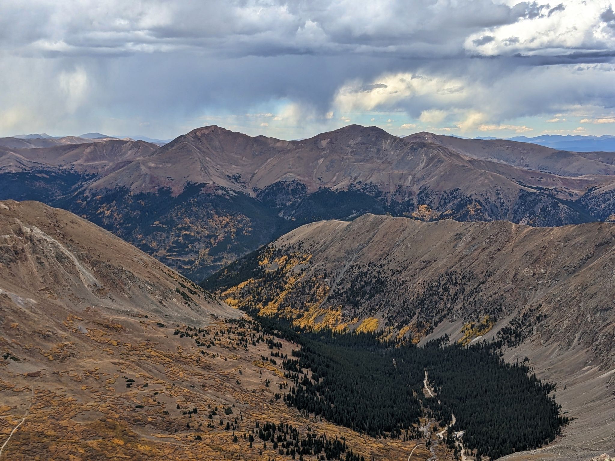
Our plan after McClellan was to head down this ridge and back to the vehicles at the highway parking lot
![Stevens circ 23]()
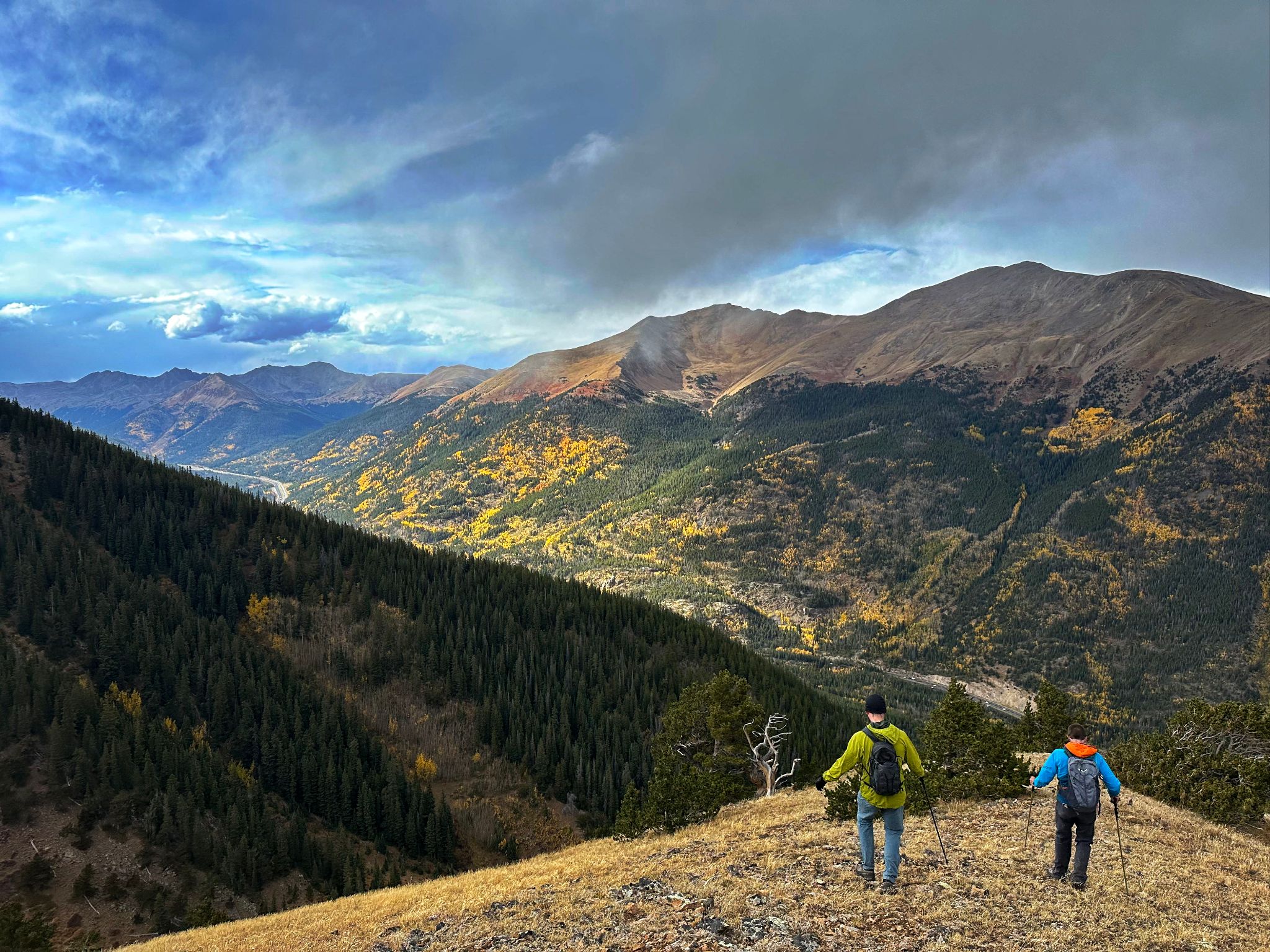
Building weather was threatening that plan
![Stevens circ 24]()
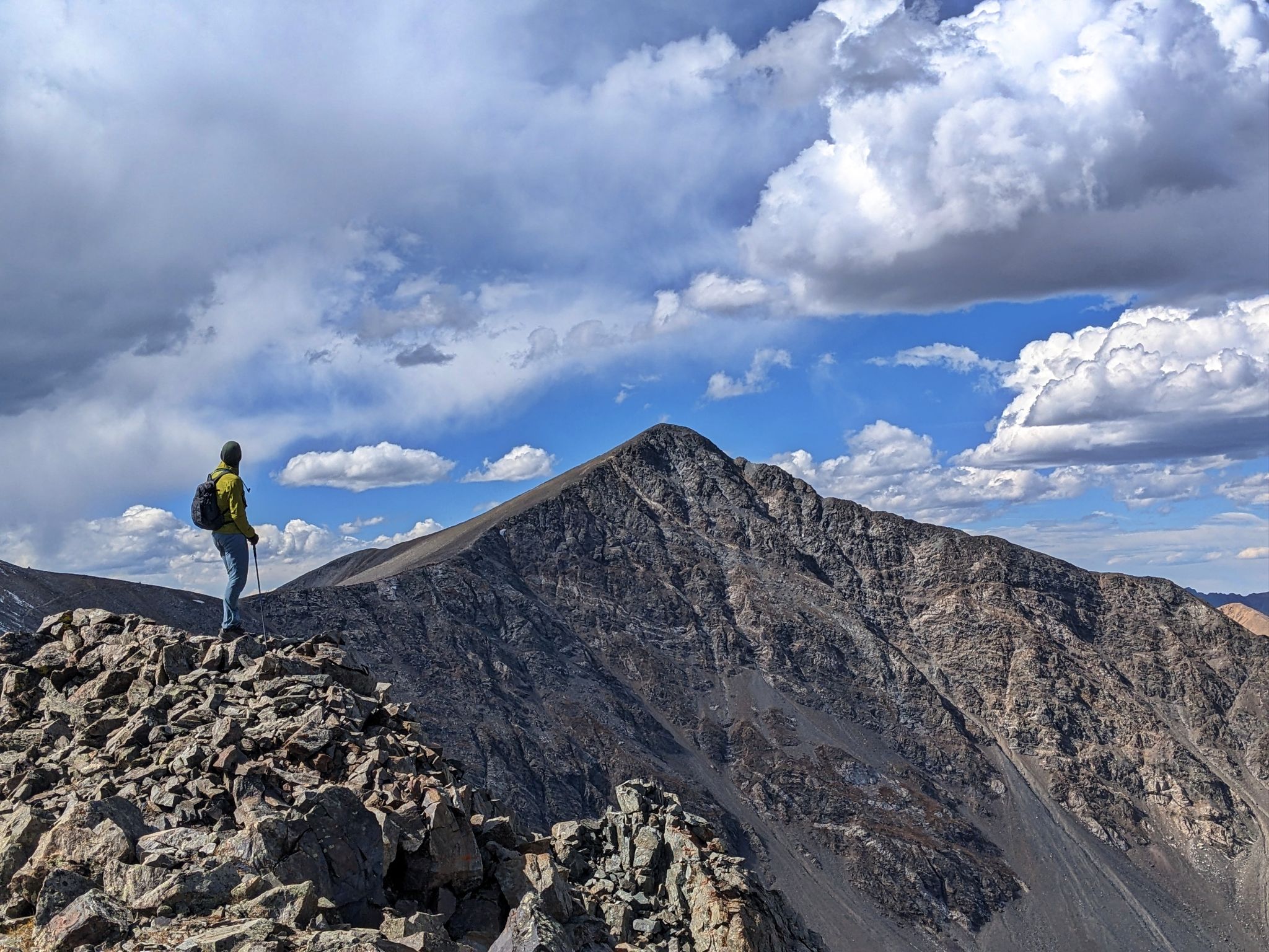
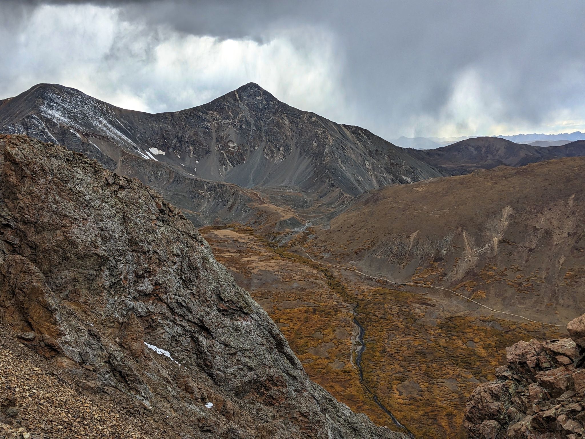
Weather over Torreys. It began to thunder and hail
![Stevens circ 25]()
We ended up dropping early and traversing the forest below back to the road