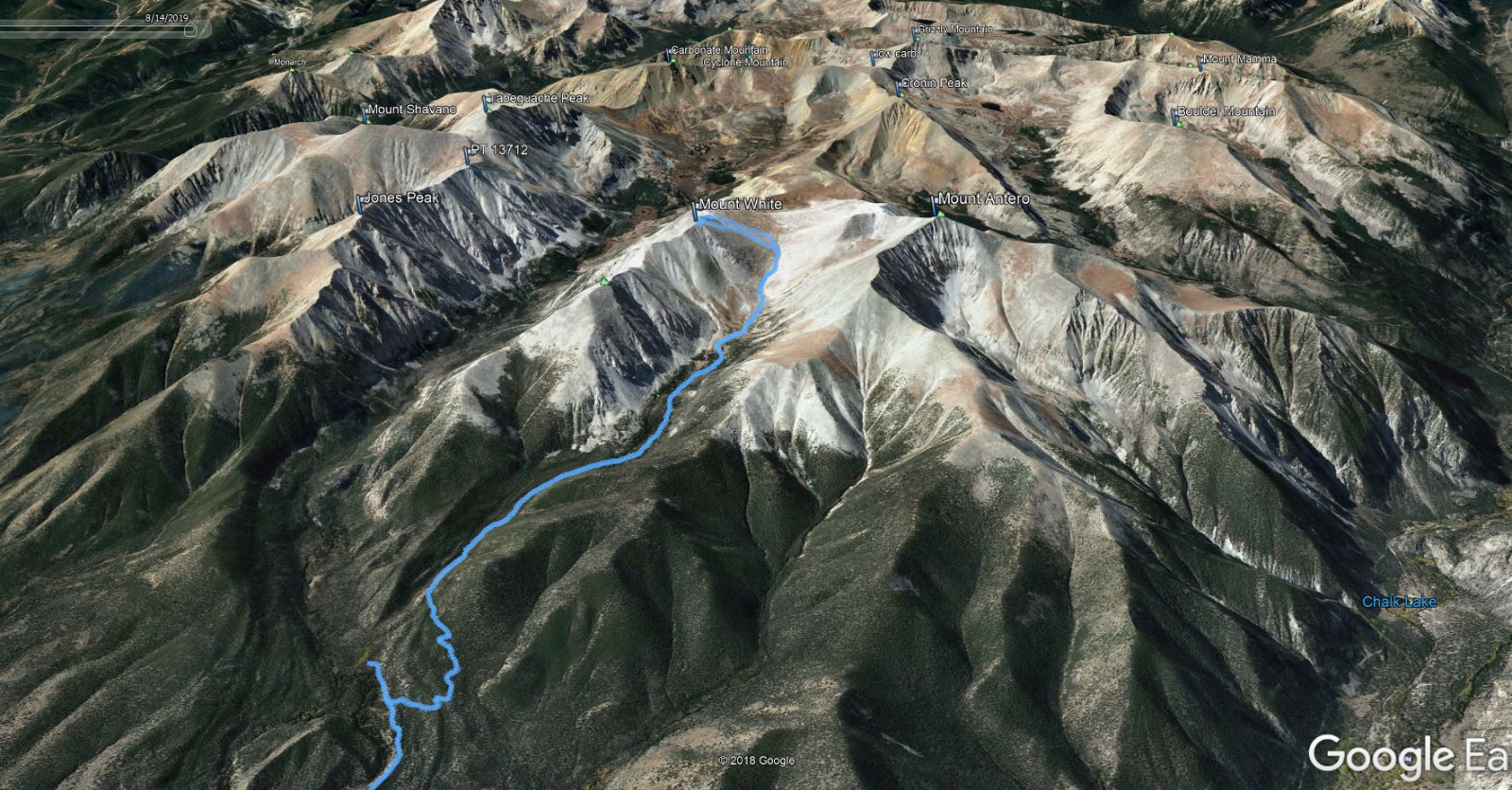
Mt. White
West Ridge - Class 1
Trailhead: Brown's Creek
Distance: 13.9 Miles (including my wrong turn)
Elevation Gain: 4740ft
Time: 5 Hours
Partner: Solo
GPX
A gentle hike on a nice trail through the woods... a lot of it next to the creek. It remains relatively gentle above tree line as well. The rock on the last pitch to the summit is fairly solid and fun to climb. This felt easy for a 14 mile day.
![White 01]()
Distance: 13.9 Miles - Elevation Gain: 4740ft
![White 02]()
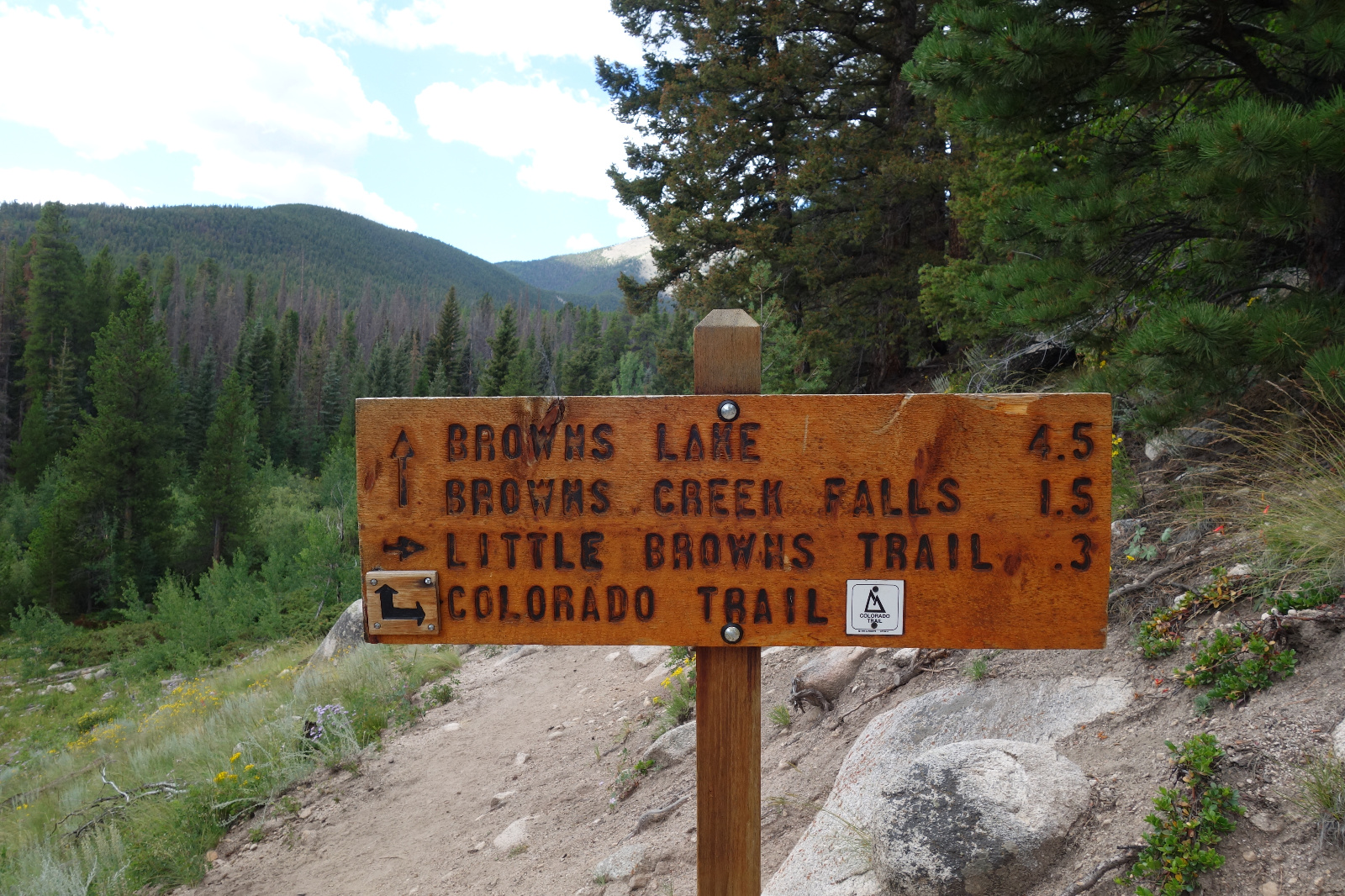
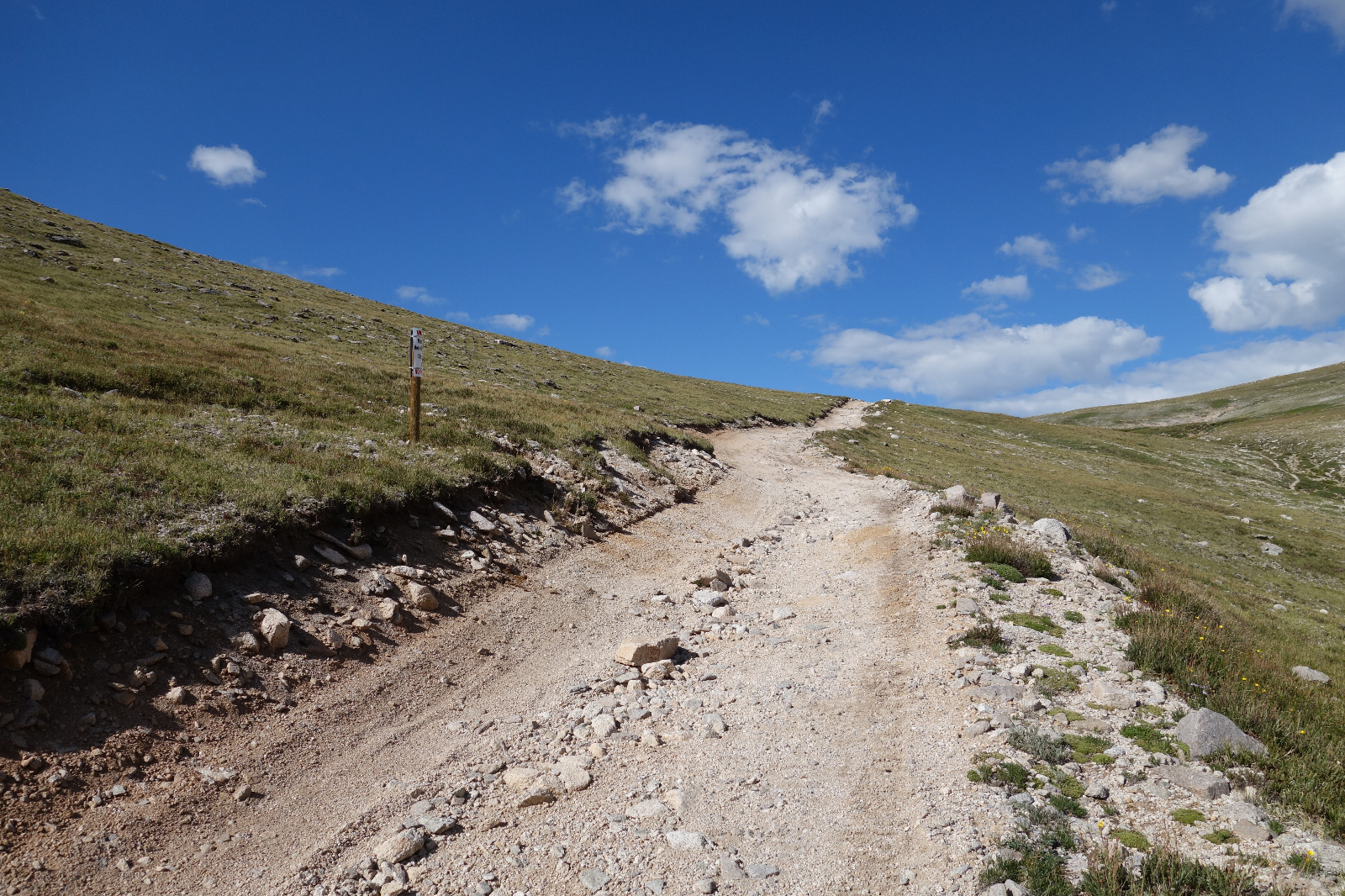
This is where I went left but should have gone right. Turn right at this sign. Then turn left at the next :-)
![White 03]()
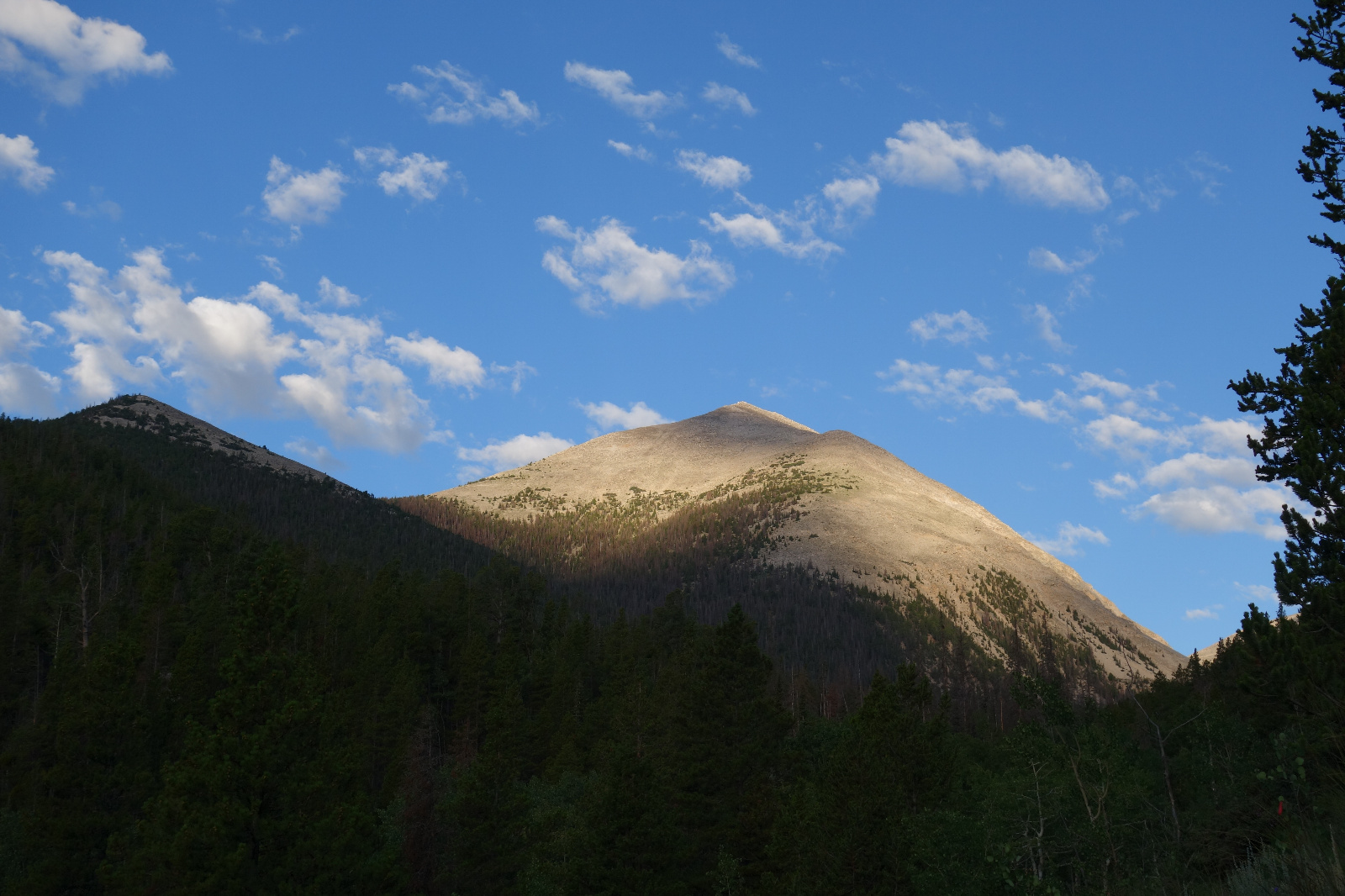
The east flank of White comes into view
![White 04]()
North east side of Mount White
![White 05]()
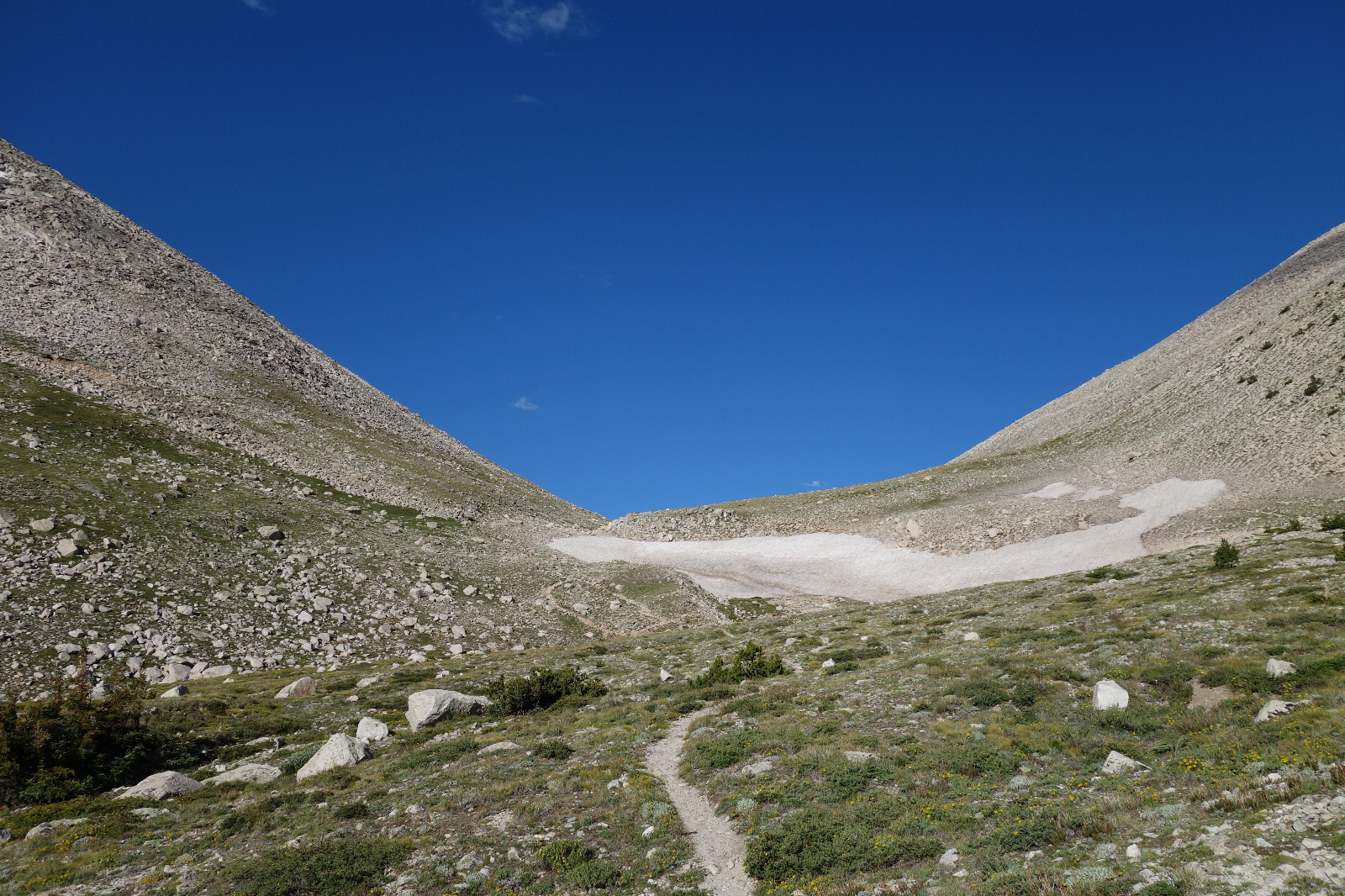
Hiking in the upper basin
![White 06]()
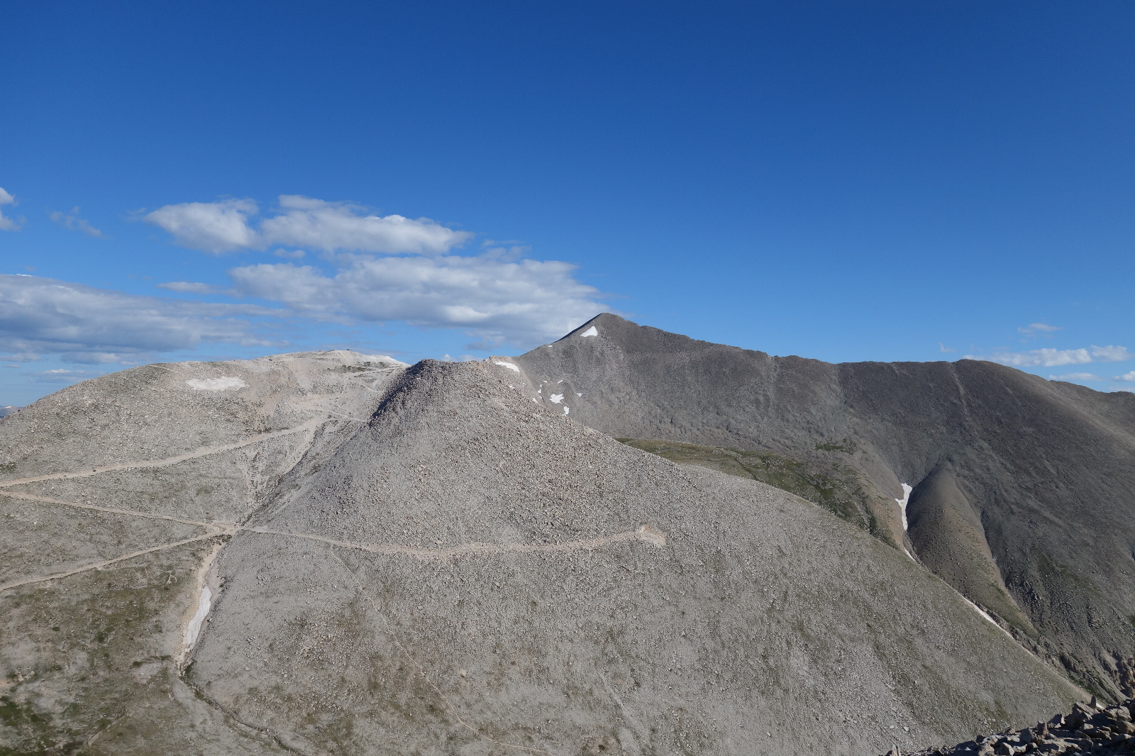
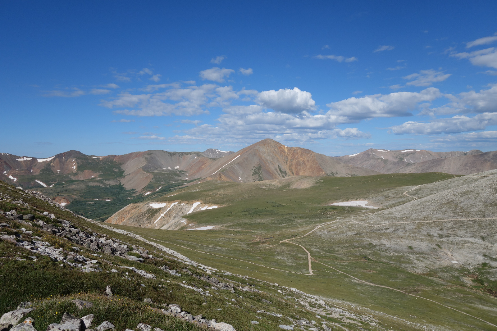
Lots of roads up here
![White 07]()
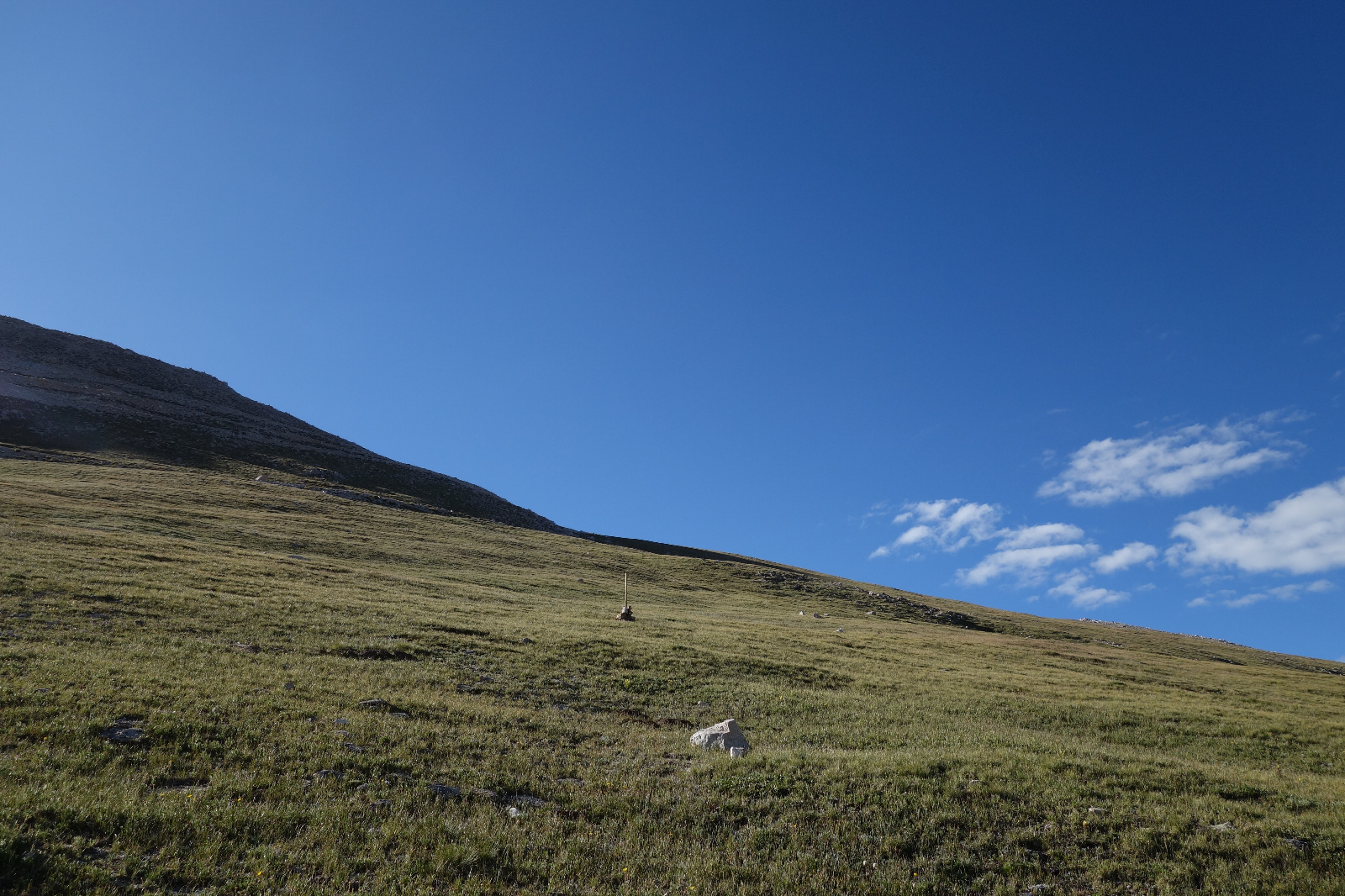
Gentle fields for walking
![White 08]()
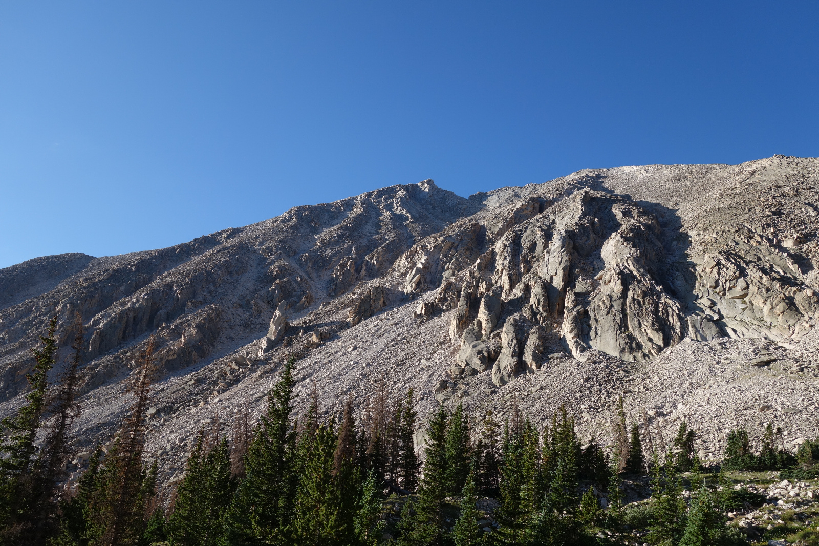
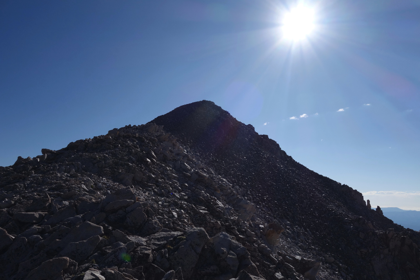
Last pitch to the summit. I know it doesn't look great... but it was solid and fun to climb.
![White 09]()
Looking north to Antero
![White 10]()
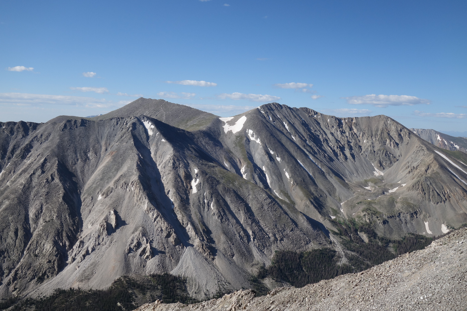
Looking south to Shav, Tab and 13712
![White 11]()
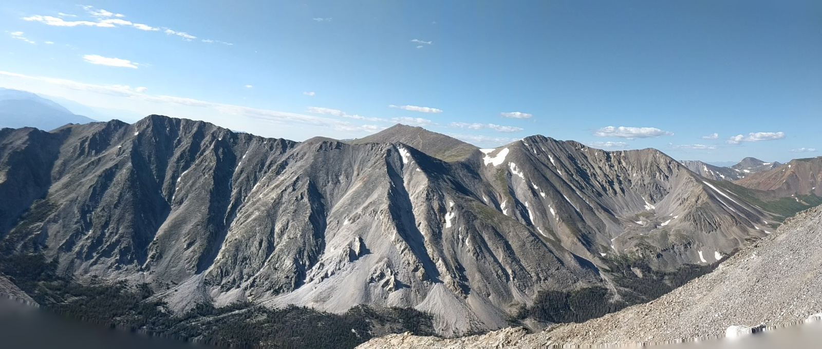
Pano: Looking south to Shav, Tab,13712 and Jones
![White 12]()
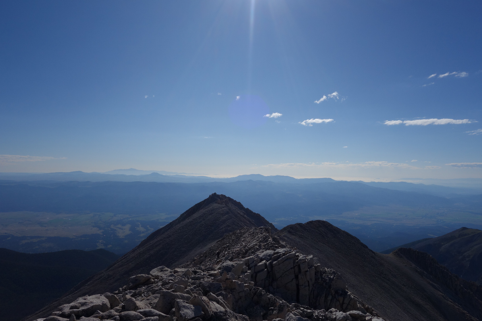
Looking east along White's summit ridge
![White 13]()
Cronin