Homestake Peak
Date: 07/21/2021
Partner: Solo
Trailhead: Crane Park - Intersection of Wurts Ditch Road & Colorado Trail
Distance: 10.5 miles
Elevation Gain: 3000ft
Duration: 4 hours
It wasn't until about 10pm the night before that I descided to hike Homestake Peak. It was last minute and it seemed simple enough and a short drive to the trailhead.
When I showed up at Crane Park I discovered the area was a network of roads and trails. So I drove around a bit before somewhat randomly desciding to park and just start walking. So if you follow my route (which ended up working out great) keep in mind I didn't really have a plan and just made the best of it. There may be more efficient ways to approach Homestake's east ridge.
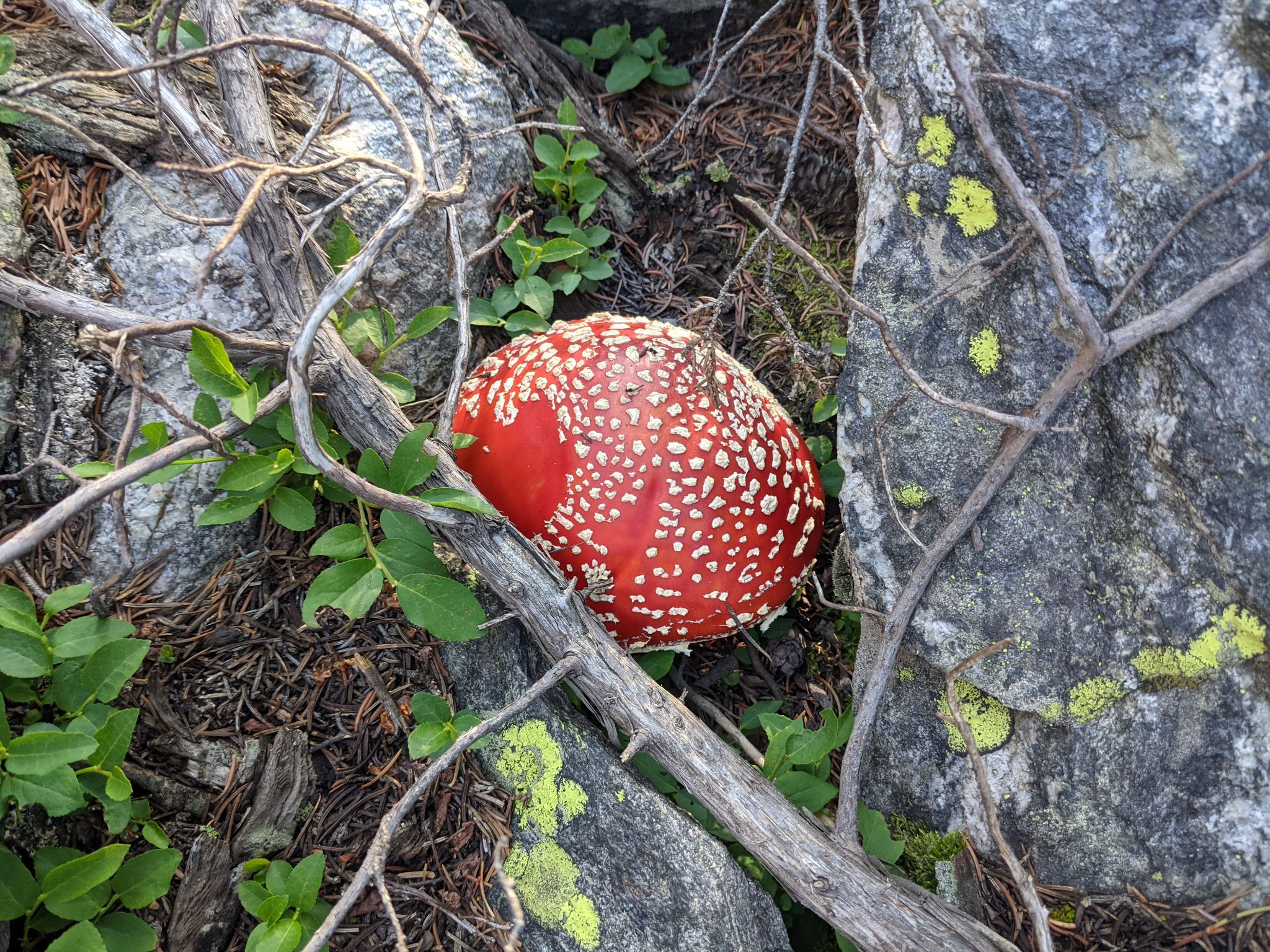
I will admit that Homestake felt a little humdrum. Maybe it was because just days earlier we were in the Elks scrambling on Clark, Daly and friends... one of the most breath taking zones in the state. Homestake's views were ok, the terrain was alright ... but there was nothing that really grabbed me except maybe a mushroom or a wildflower along the way. It was pretty awesome to be outside and climbing a mountain though... I can think of worse things to be doing.
![Homestake 01]()
10.5m - 3000ft - 4 hrs
![Homestake 02]()
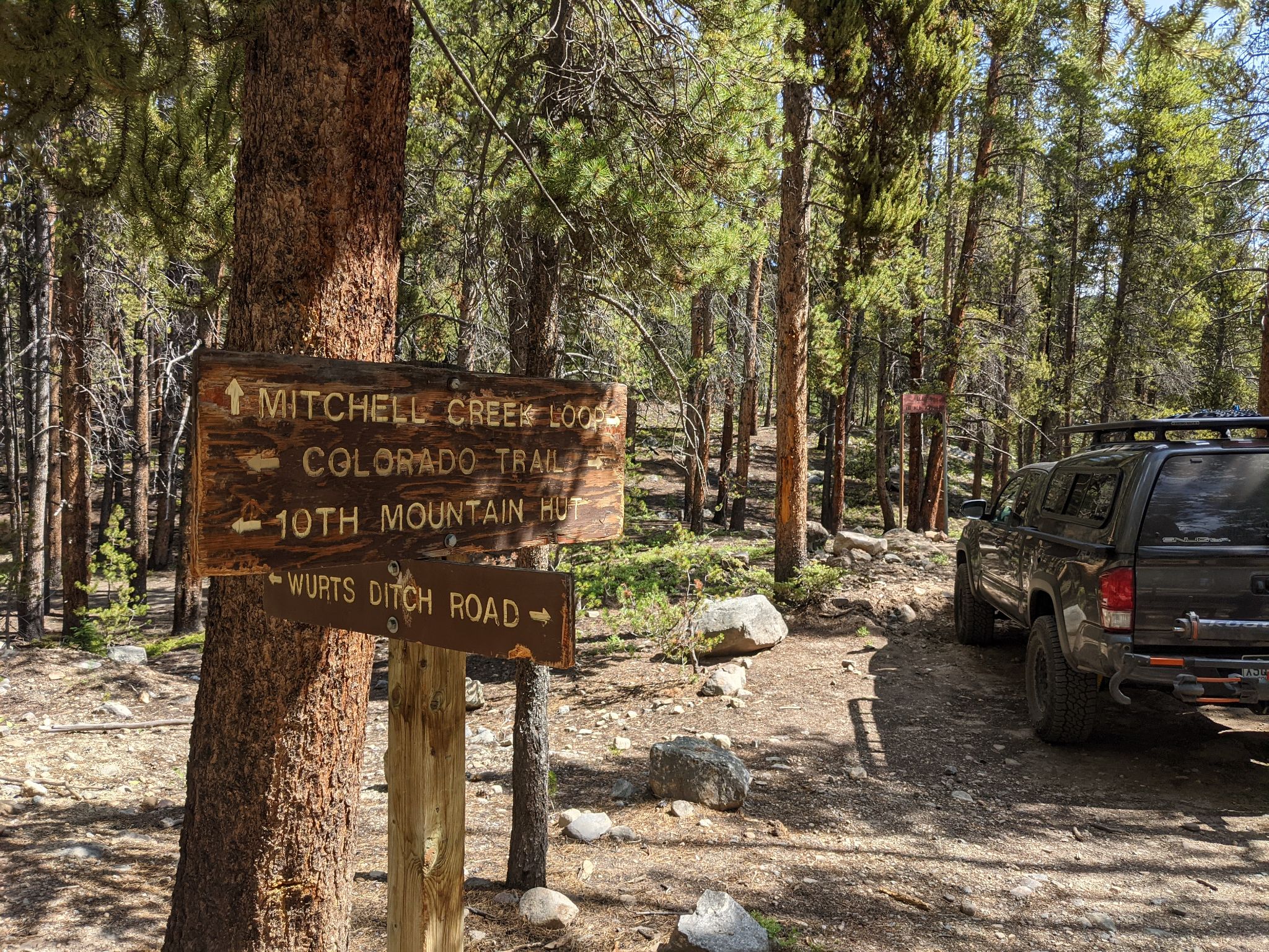
This area is a network of roads and trail. I started here at the intersection of Wurts Ditch Road & the Colorado Trail
![Homestake 03]()
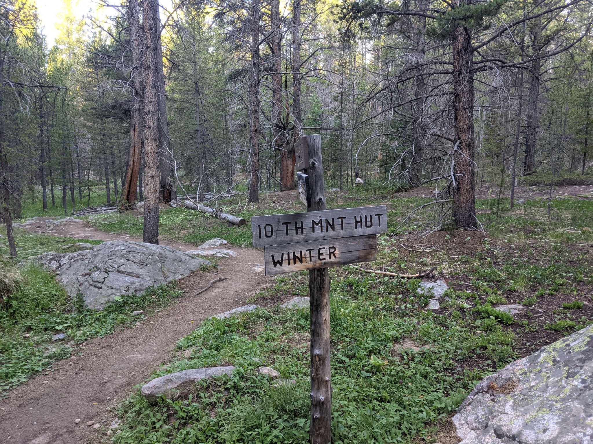
I followed the CT west until I came to a road where I hung a right
![Homestake 04]()
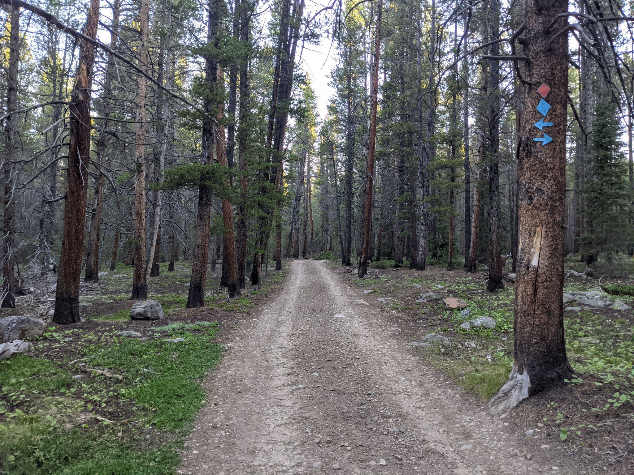
I followed the road northwest until it felt like it was taking me in the wrong direction. That's when I left the road and hiked through the trees which was actually pretty fun.
![Homestake 05]()
I navigated northwest towards Homestake's southeast ridge
![Homestake 06]()
Looking pretty magic to me
![Homestake 07]()
Gentle terrain
![Homestake 08]()
![Homestake 09]()
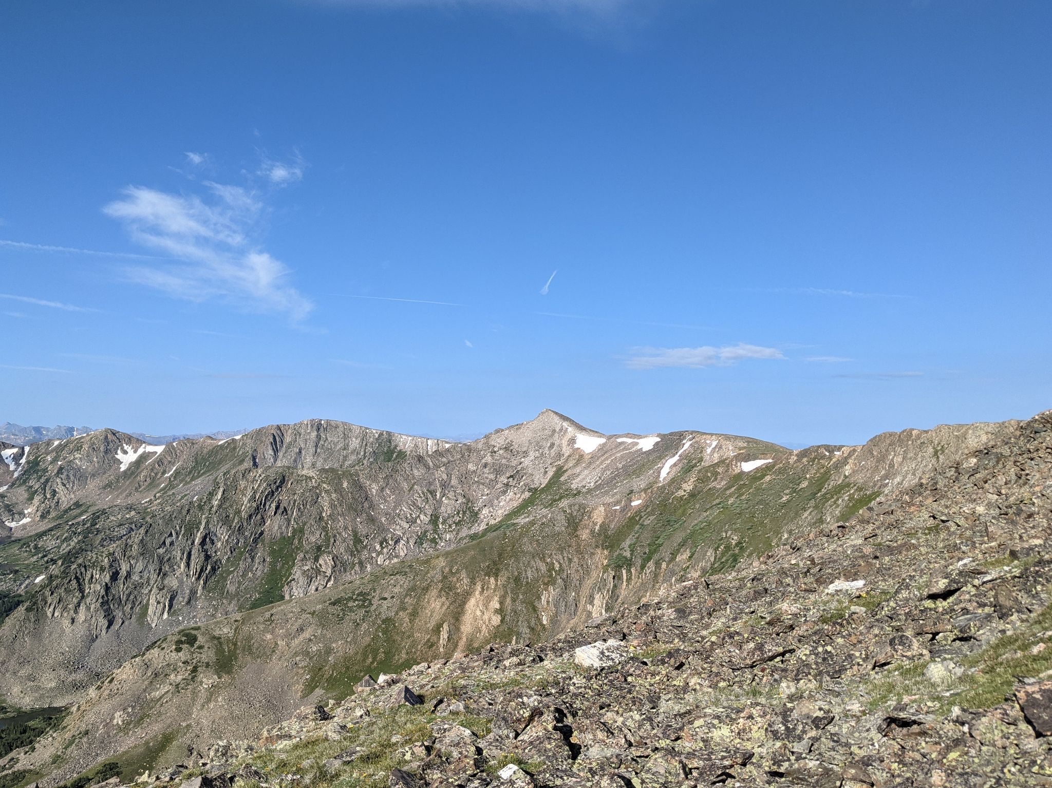
Homestake appears. I hiked northeast around the cliffs before gaining the ridge to the summit
![Homestake 10]()
![Homestake 11]()
Views of Massive and Elbert to the west
![Homestake 12]()
More westerly views
![Homestake 13]()
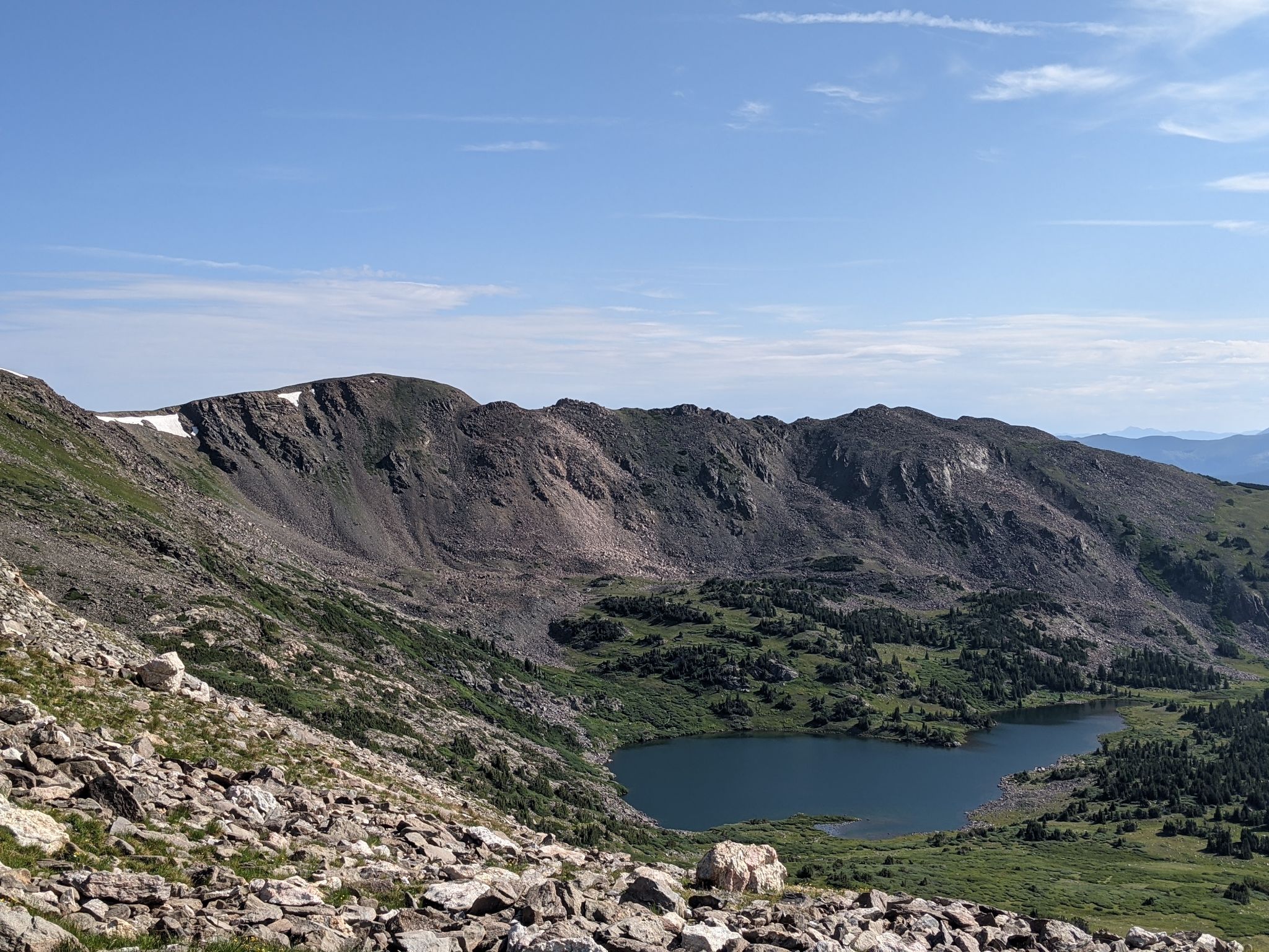
Slide Lake to the east
![Homestake 14]()
While ascending the ridge I had my eyes on this white rock thinking it might be the summit... but there was still a ways to go
![Homestake 15]()
Northeast views from the summit. A little wildfire haze in the air
![Homestake 16]()
Sawatch views to the west. West Tennessee Lake in the foreground
![Homestake 17]()
Holy Cross to the north
![Homestake 18]()
Summit selfie with Holy Cross in the distance
![Homestake 19]()
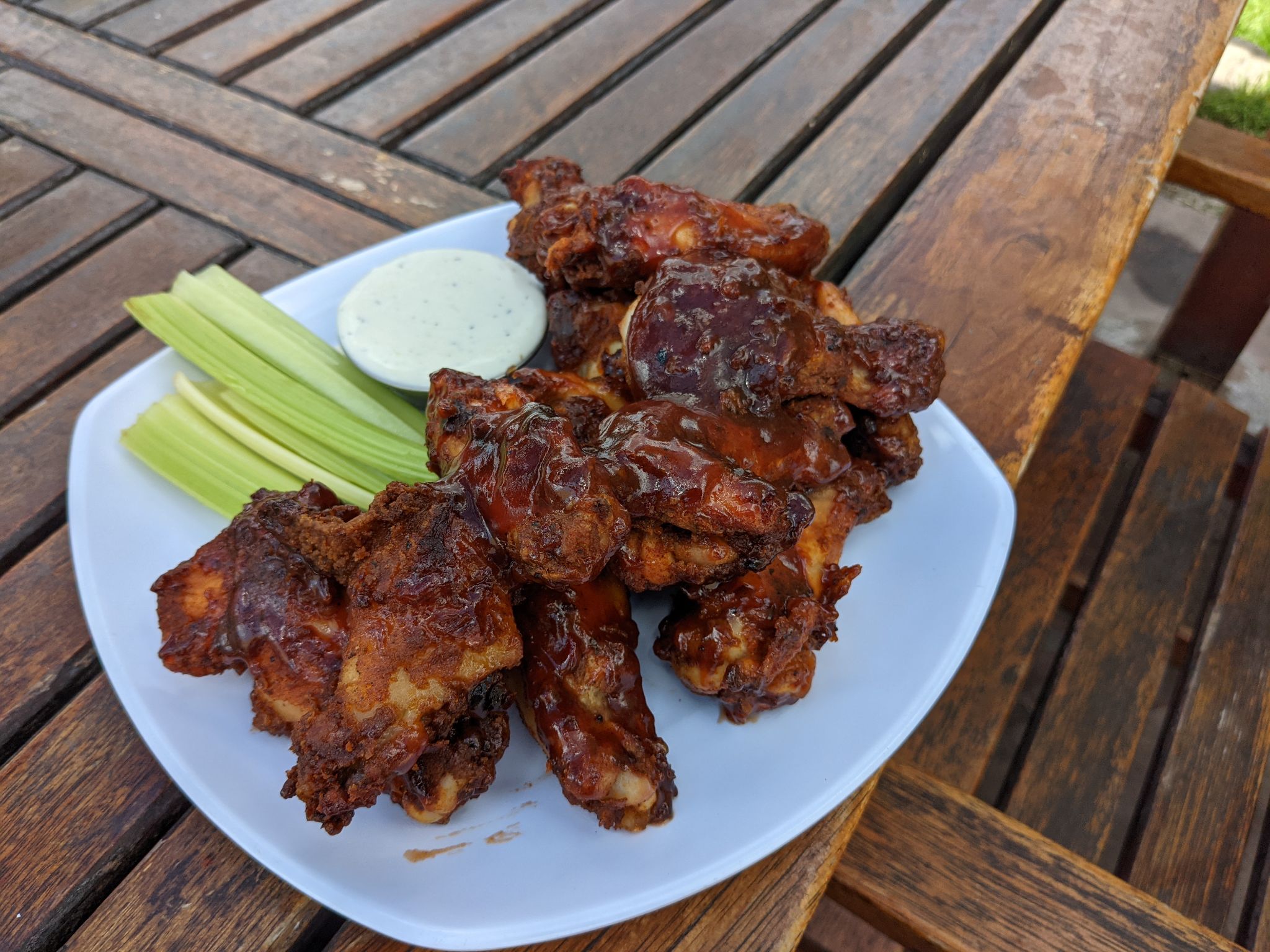
Ok... time to head back and get some wings or maybe a pizza at High Mountain Pies in Leadville
![Homestake 20]()
Get in my tummy!