Antora Peak
Date: 8/04/2021
Partner: Solo
Trailhead: County Road 46PP (1.5 Miles below Mosquito Lake)
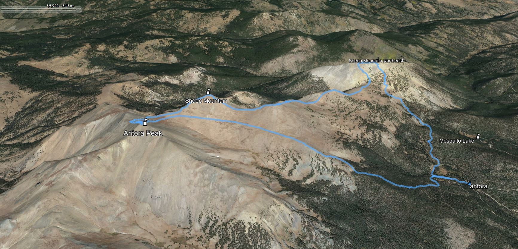
Summits: Antora Peak, Sheep Mountain (12er), Sheep Mountain Northeast(12er)
Distance: 8.4m
Elevation Gain: 3400ft
Duration: 3.5hrs
GPX
Antora Peak 14ers.com Page
Trailhead Directions:
There isn't an offical trailhead for this peak... so here is how I got to my starting point.
- Drive to Villa Grove on Highway 285
- Go west on County Road LL56 for 13 Miles
- Turn left on County Road 46PP (easy but bumpy)
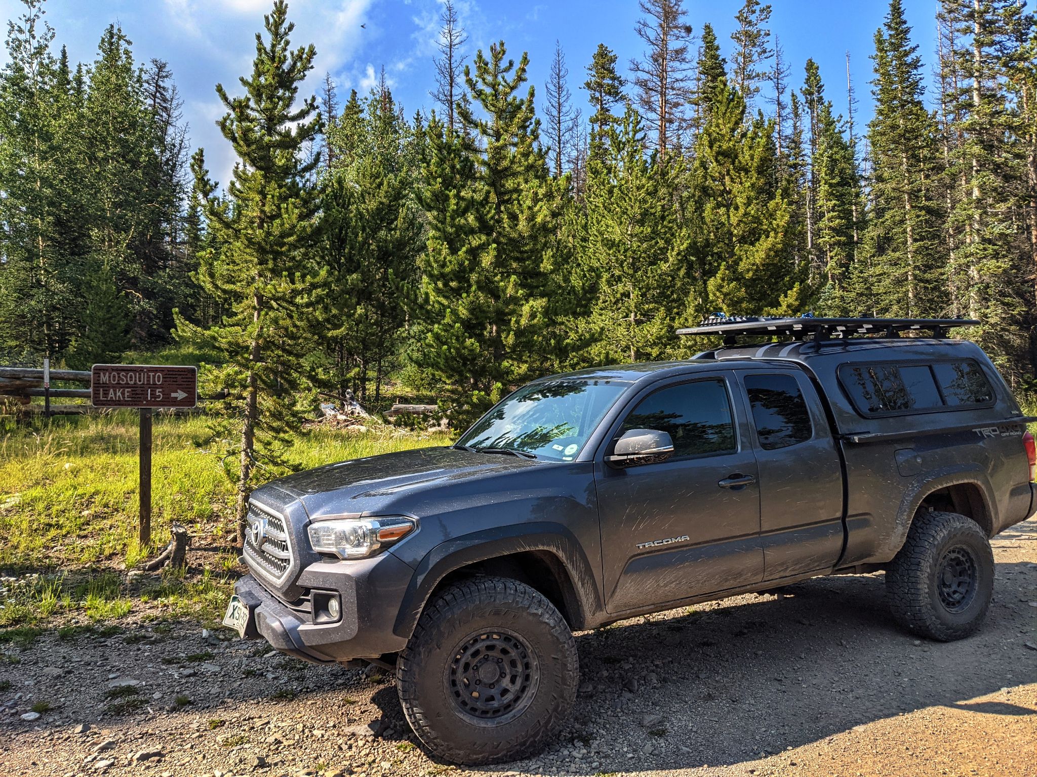
- Drive 5.2miles to the "Mosquito Lake 1.5 Miles" sign and park
Antora Peak is a nice little outing if you are in the area and don't have a lot of time. You can make this hike even shorter by cutting out the "optional" 12ers... however the best views of the day are looking south towards Antora from Sheep Mountain Northeast.
![Antora 01]()
8.4m - 3400ft - 3.5hrs
![Antora 02]()
I parked next to this sign
![Antora 03]()
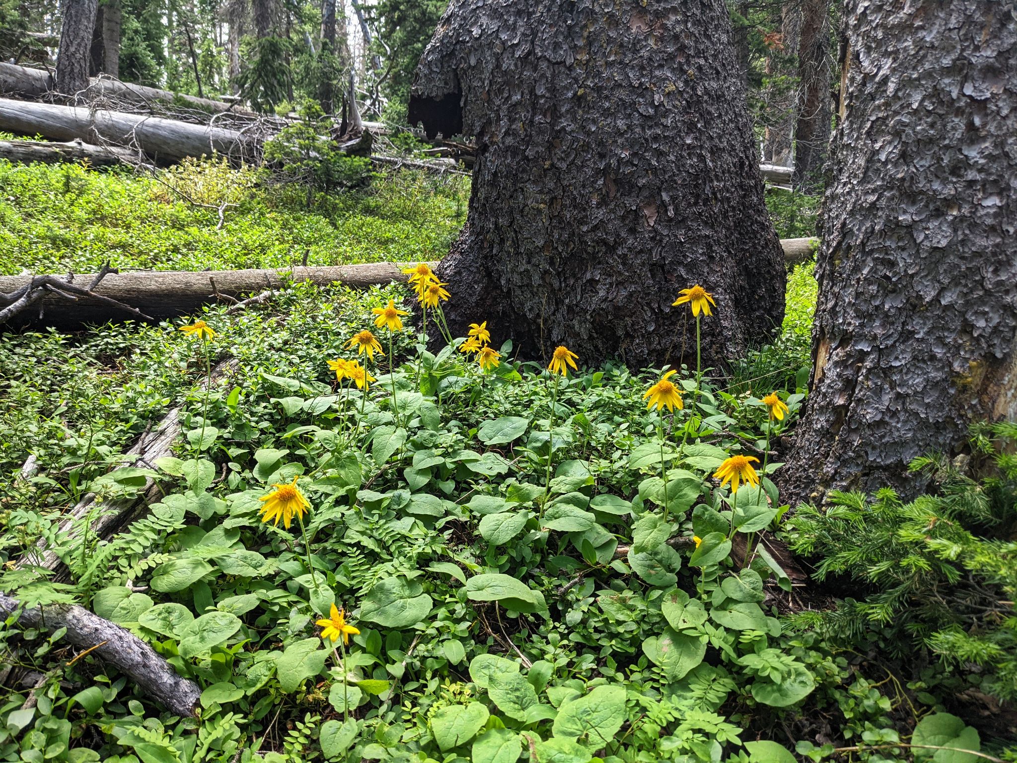
I busted it up through the woods over easily navigable deadfall
![Antora 04]()
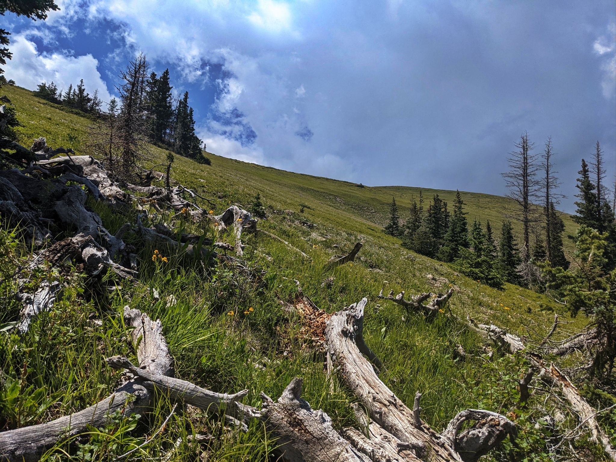
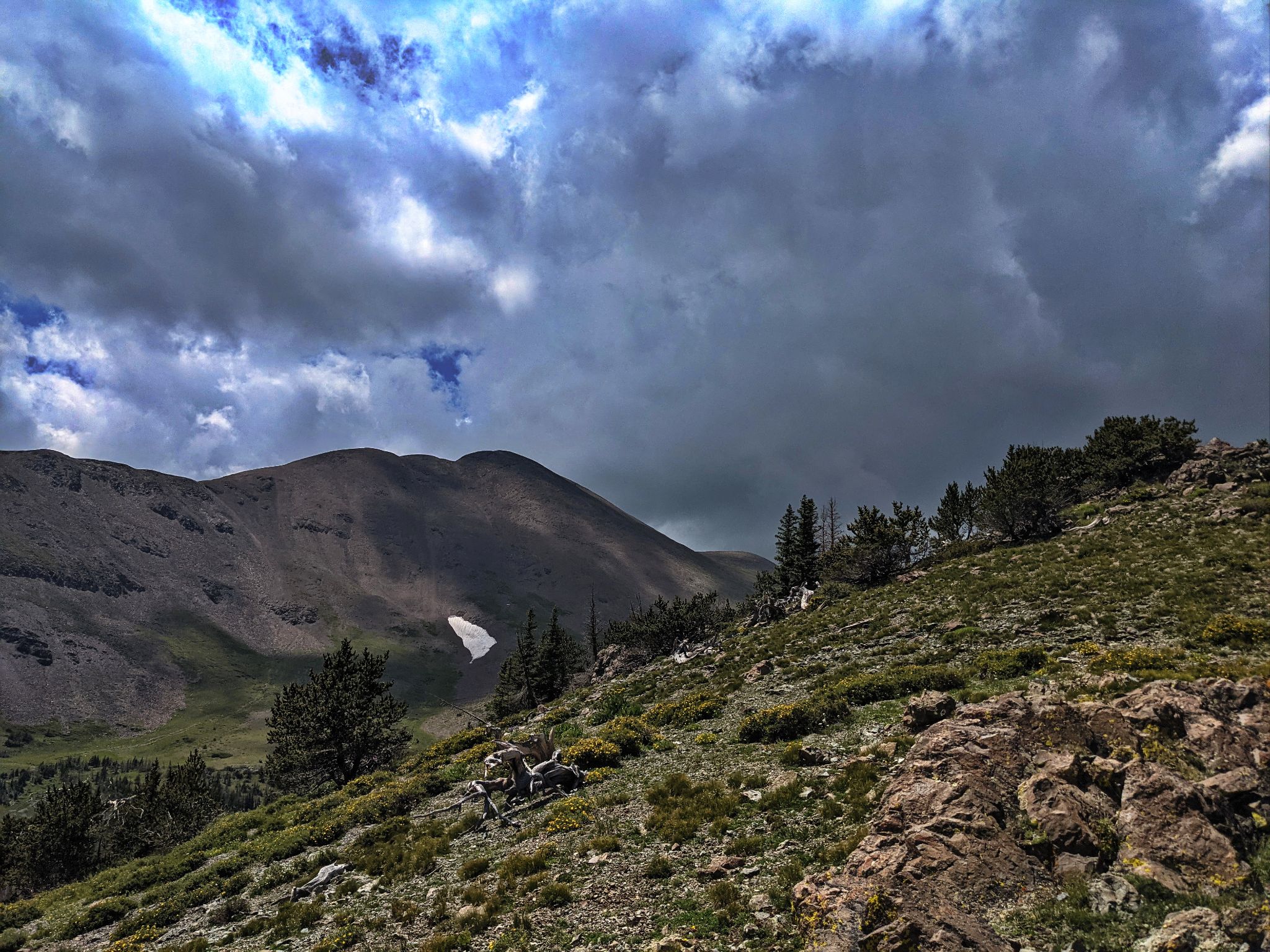
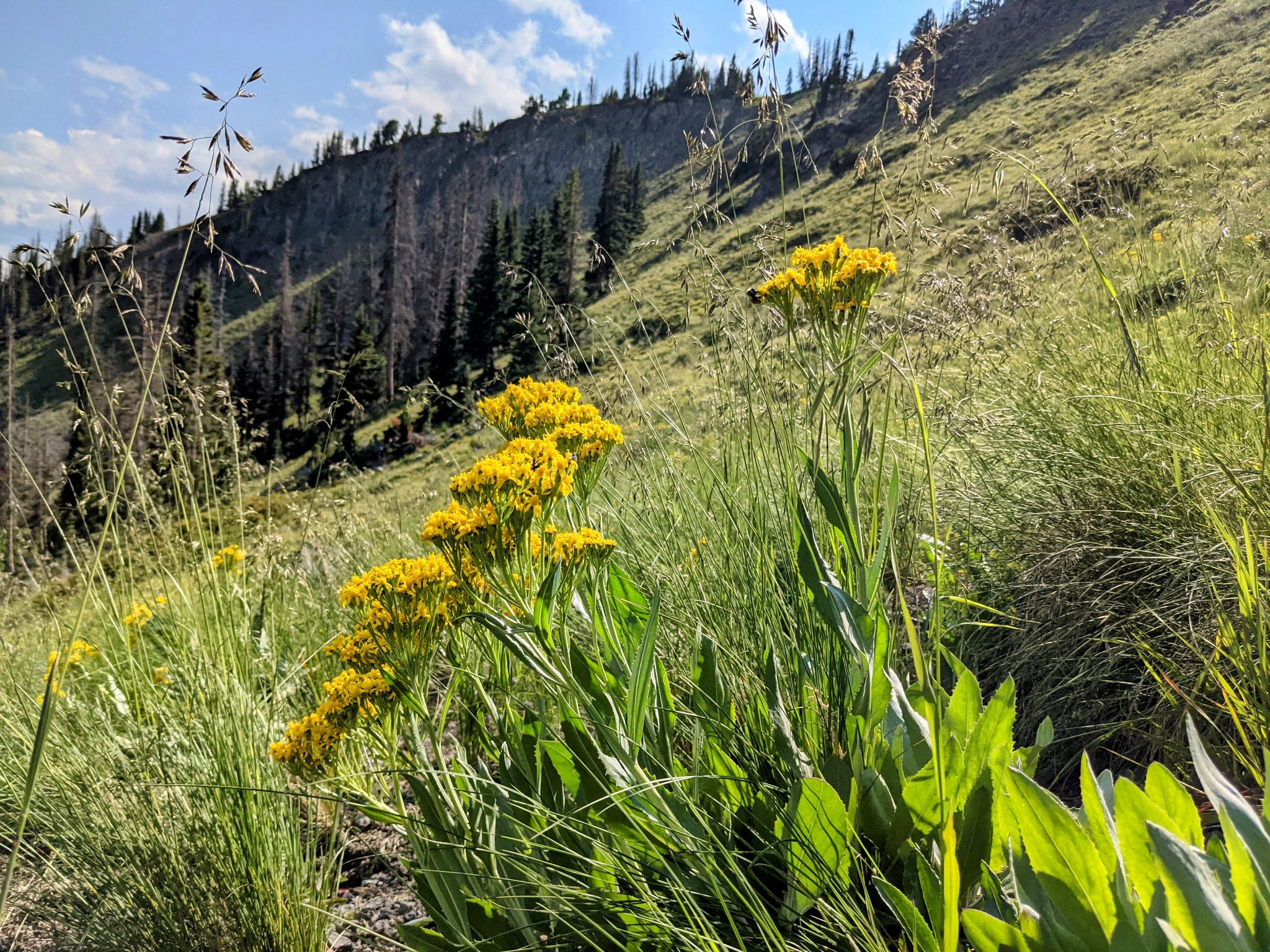
Above treeline... the direction is up
![Antora 05]()
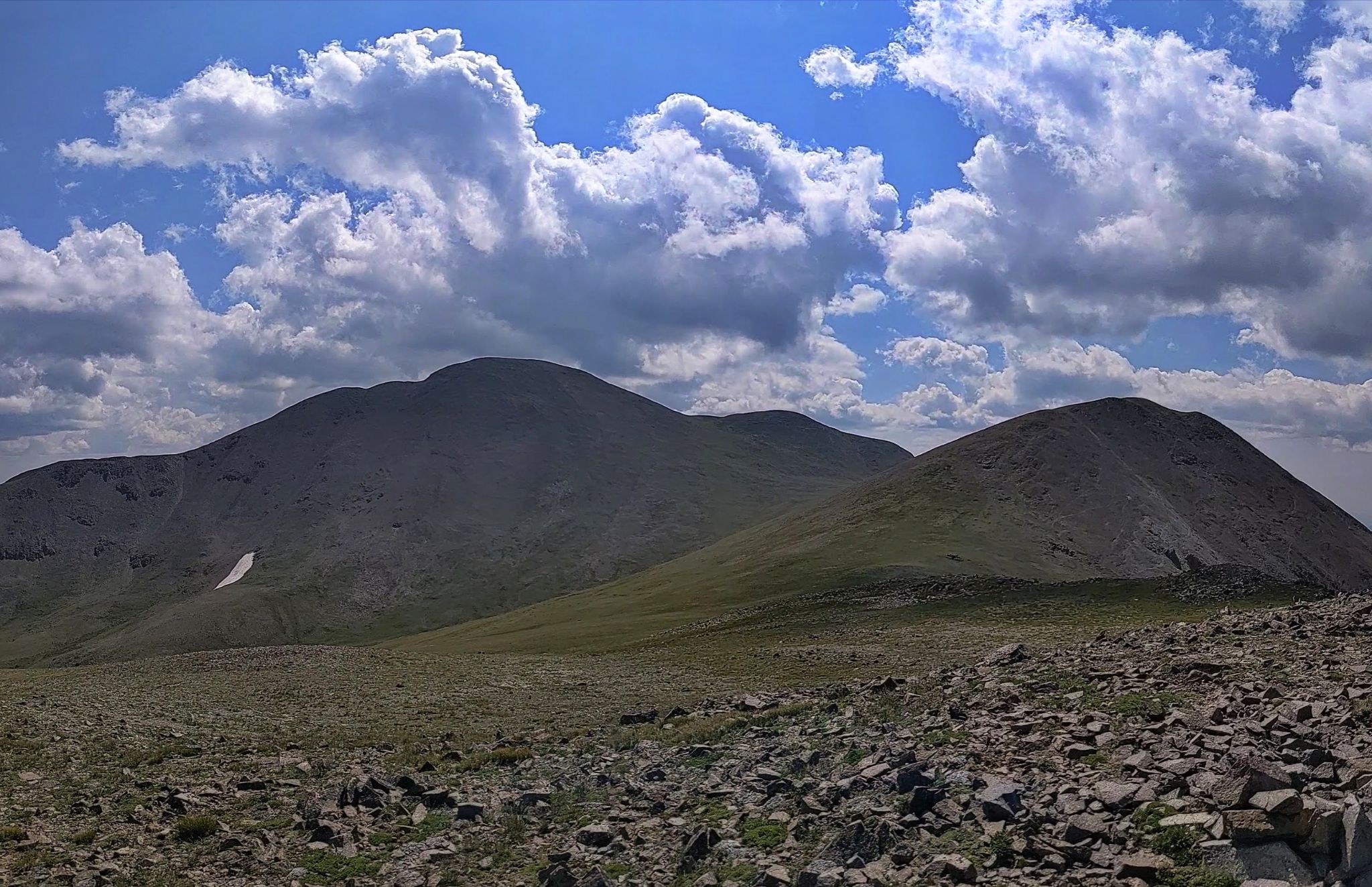
Antora comes into view - I hiked to it's saddle with Sheep
![Antora 06]()
Anotra
![Antora 07]()
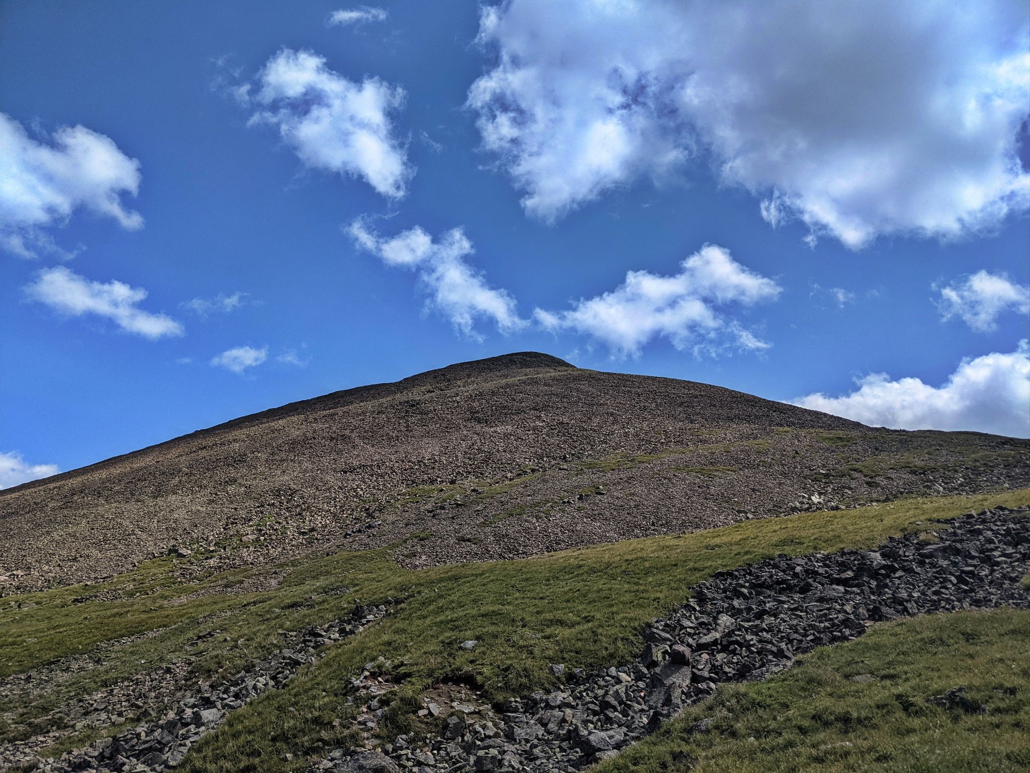
There were little pieces of trail to the summit
![Antora 08]()
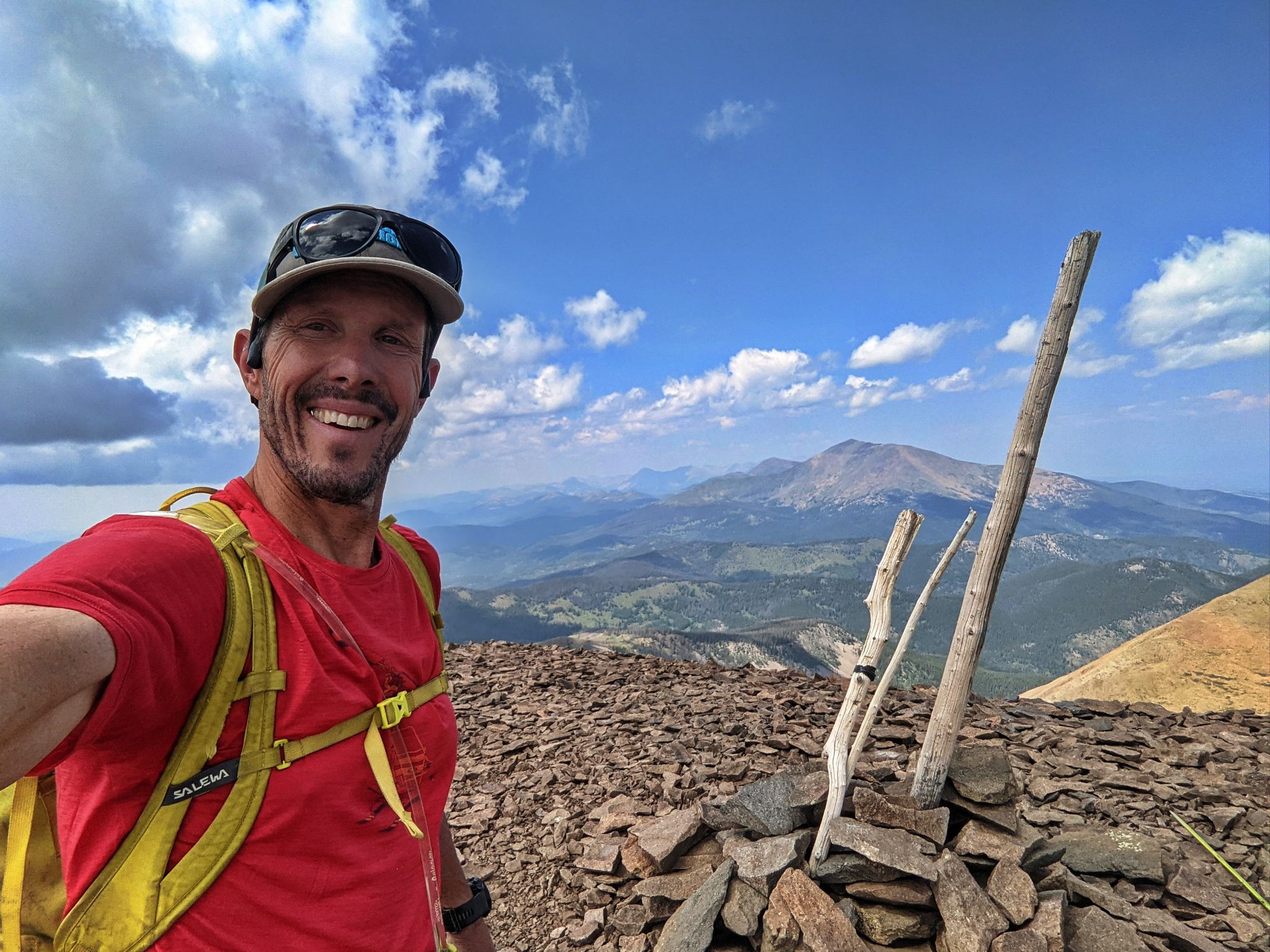
Summit selfie with Mount Ouray to the north
![Antora 09]()
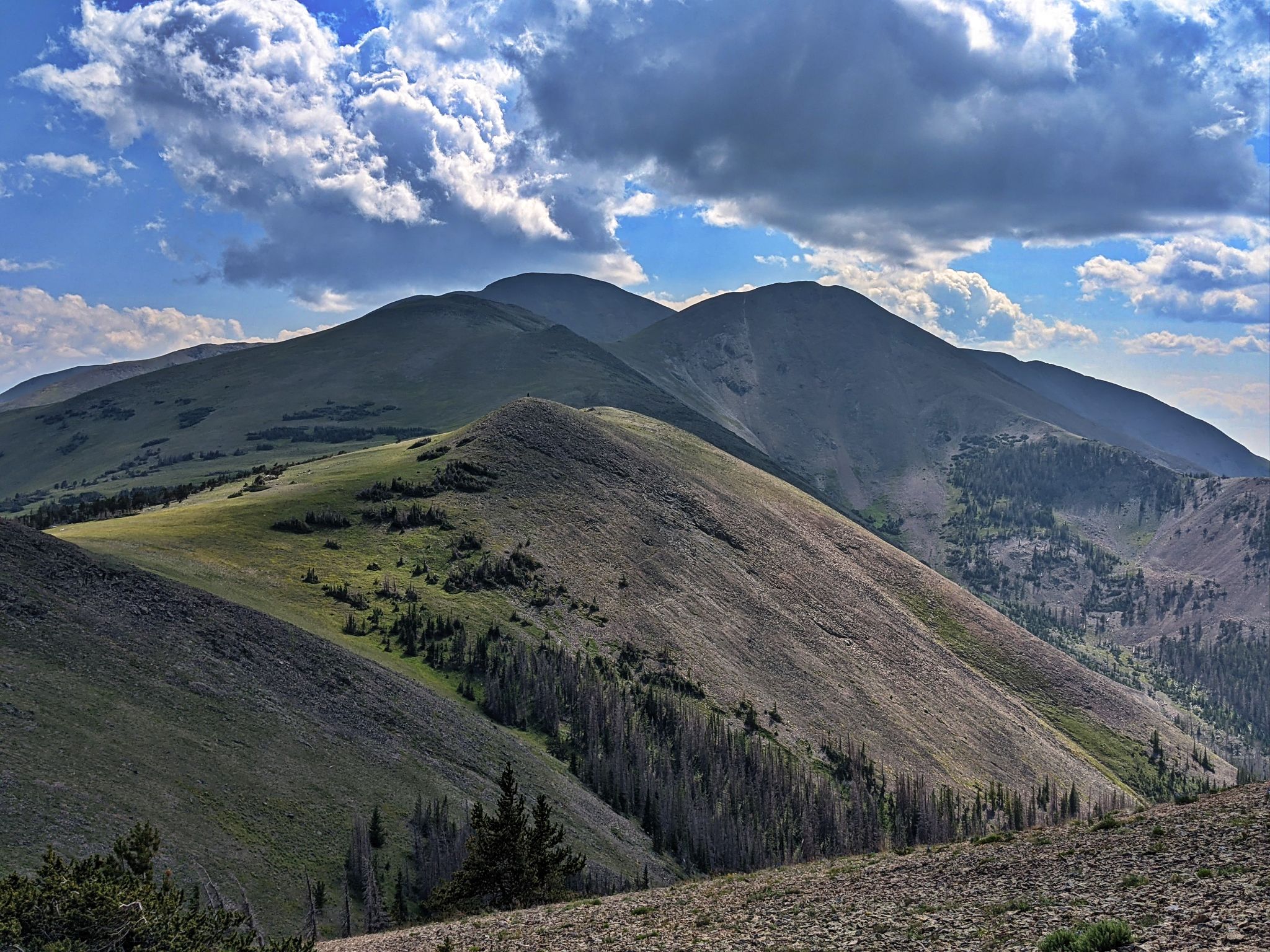
The "optional" 12ers - Sheep in the forefront - Sheep Northeast in the distance
![Antora 10]()
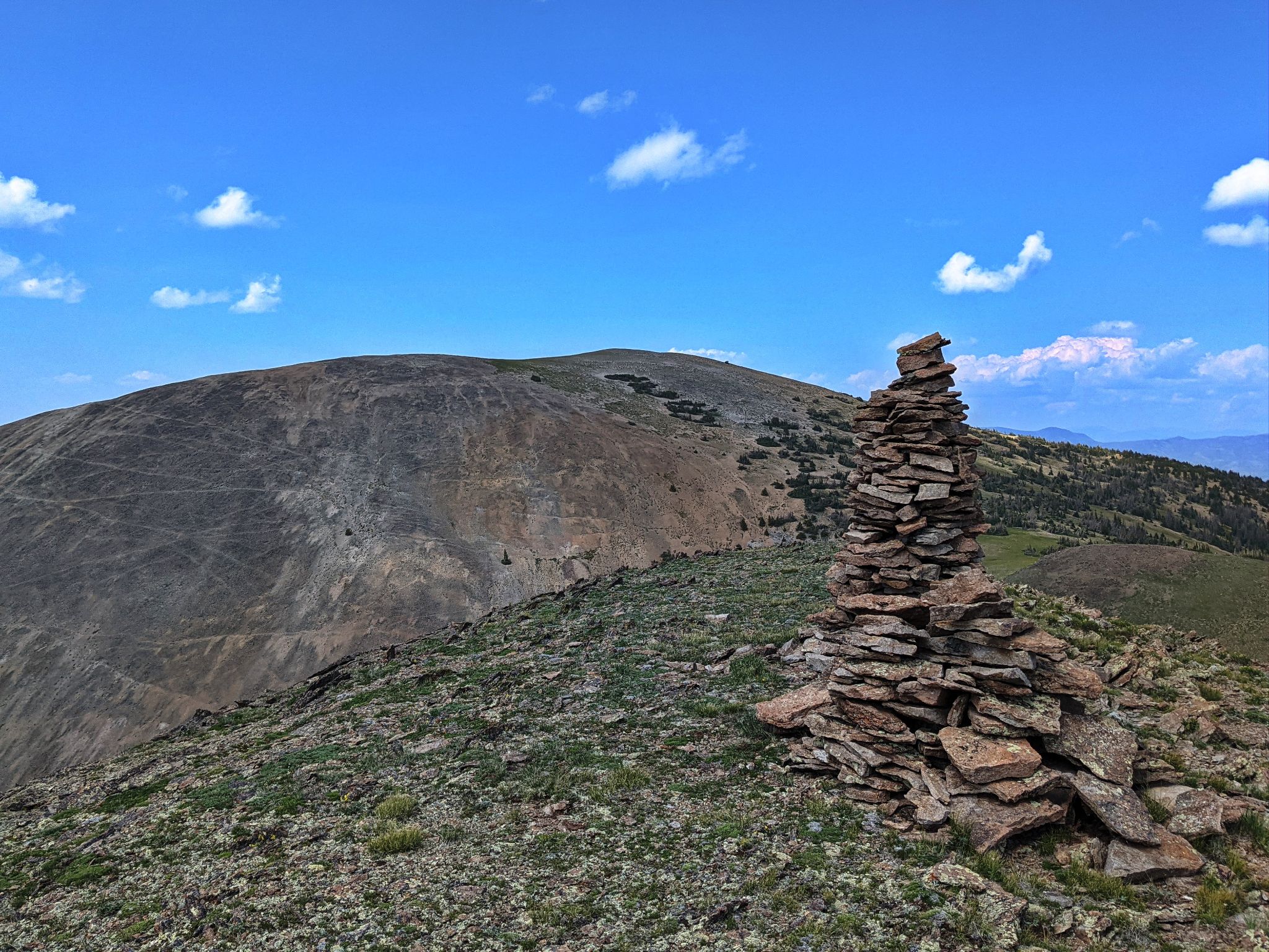
Sheep Northeast
![Antora 11]()
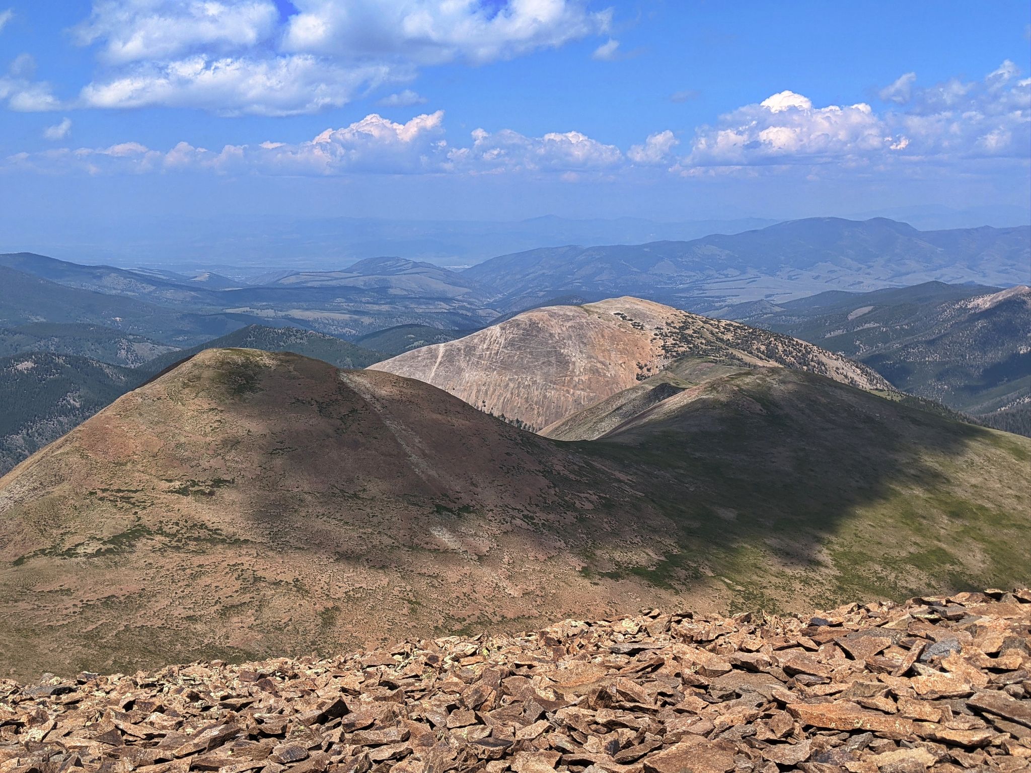
Over the shoulder views of Sheep (R) and Antora (in the way back)
![Antora 12]()
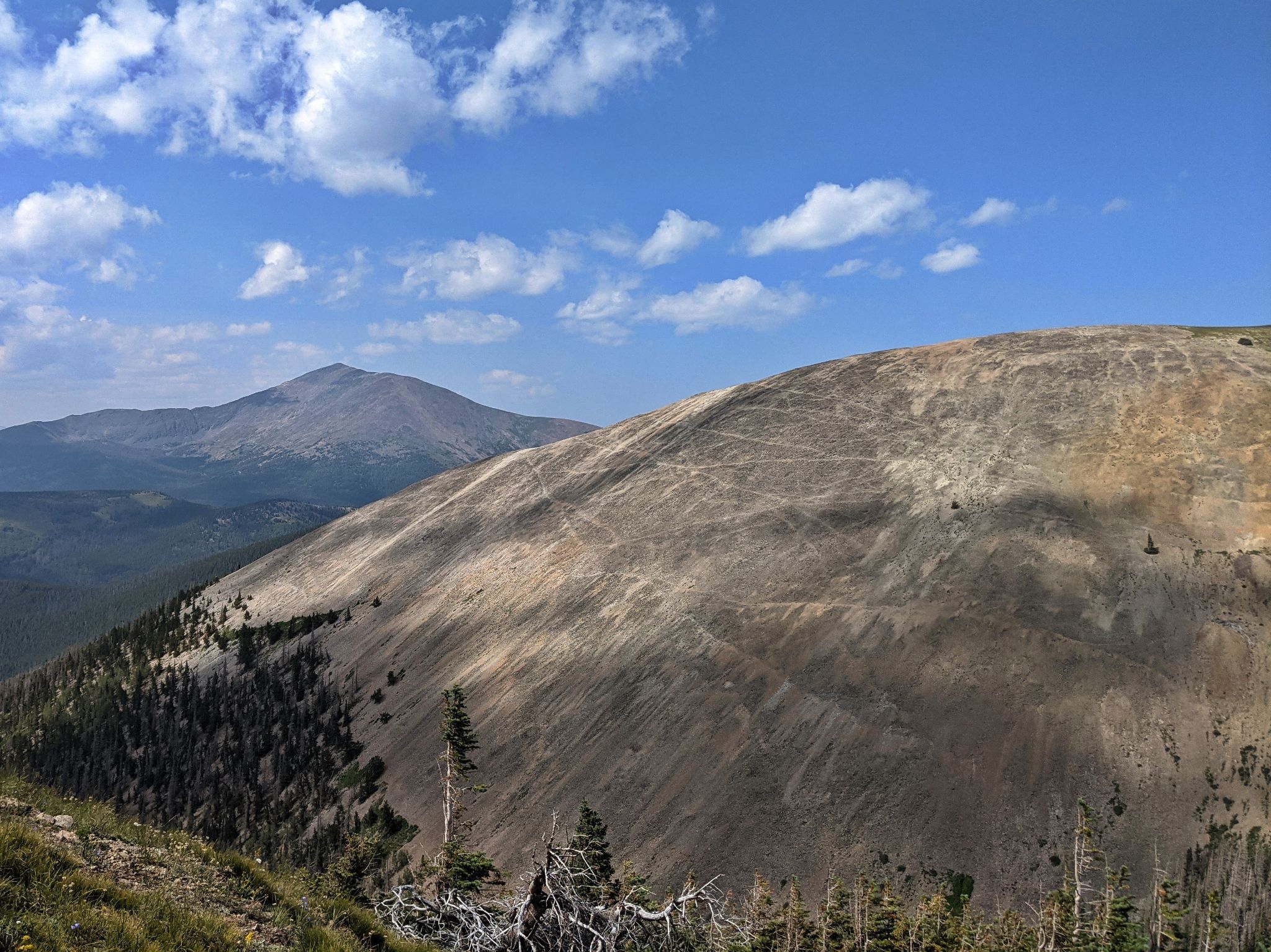
Mount Ouray and Northeast Sheep
![Antora 13]()
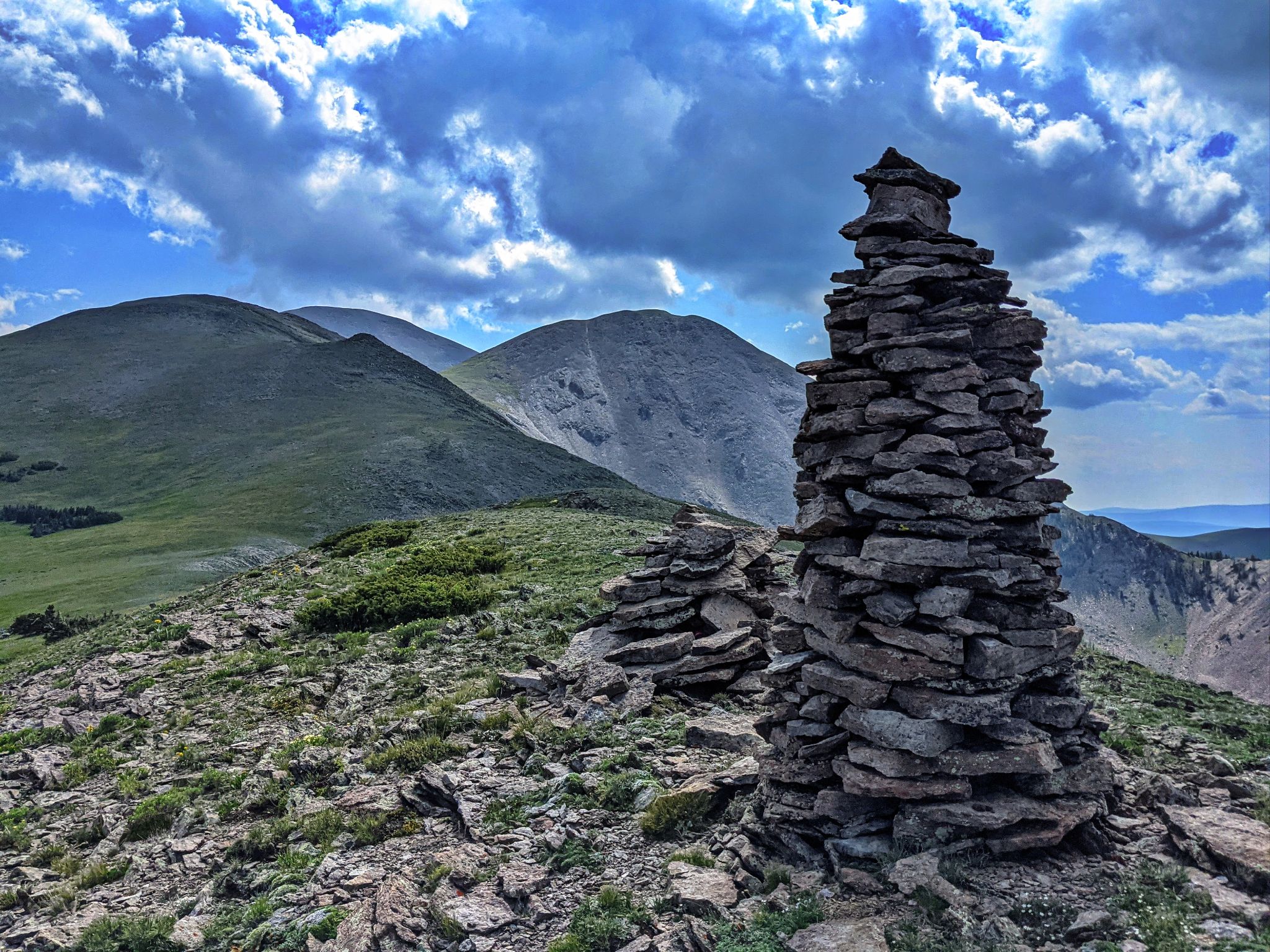
Looking back to Sheep and Antora. If you look closely you can see the cairn tower
![Antora 14]()
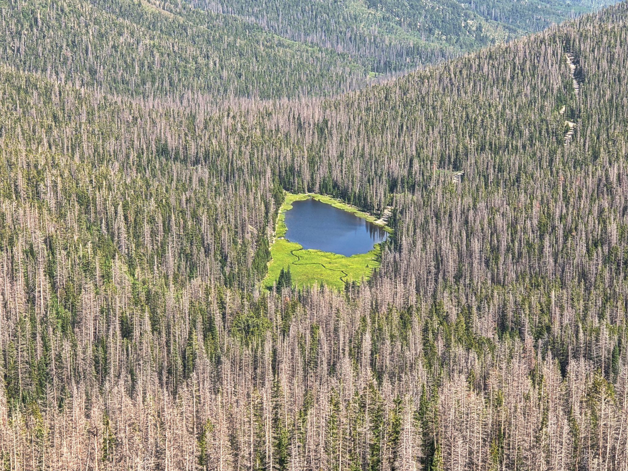
On the way back to the truck
![Antora 15]()
Mosquito Lake - There are probably a lot of mosquitos down there - I'm not going