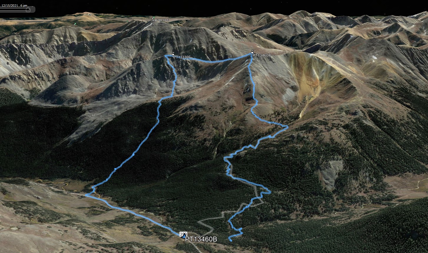
PT13440
Date: 12/05/2021
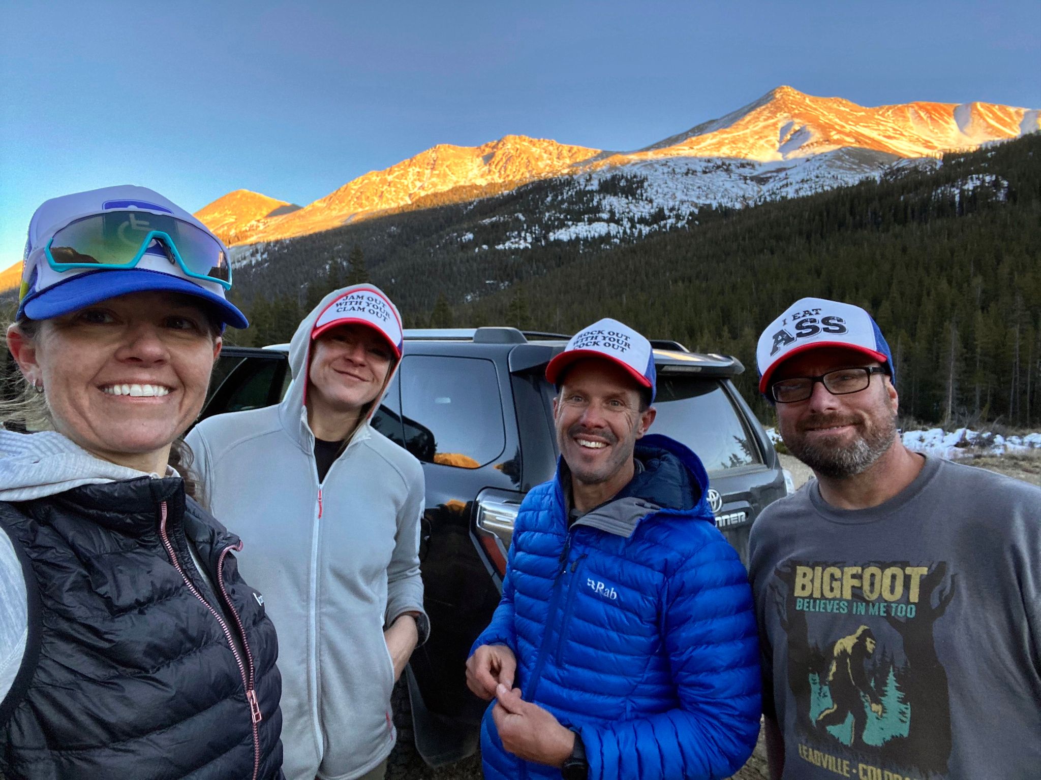
Partner: Heather Ryan, Becky White, Mike Johnston
Trailhead: FS Road 392
Distance: 6.15m
Elevation Gain: 3220ft
Duration: 6.5hrs
GPX
A pretty ok hike with great views and a sporty descent. Consider a different descent route if you don't enjoy loose and/or bushwhacky gullies. I enjoyed our descent route however at least 50% of the group felt differently. I have heard our descent route makes for a great ski.
![PT13460B 01]()
6.15m - 3220ft - 6.5hrs
![PT13460B 02]()
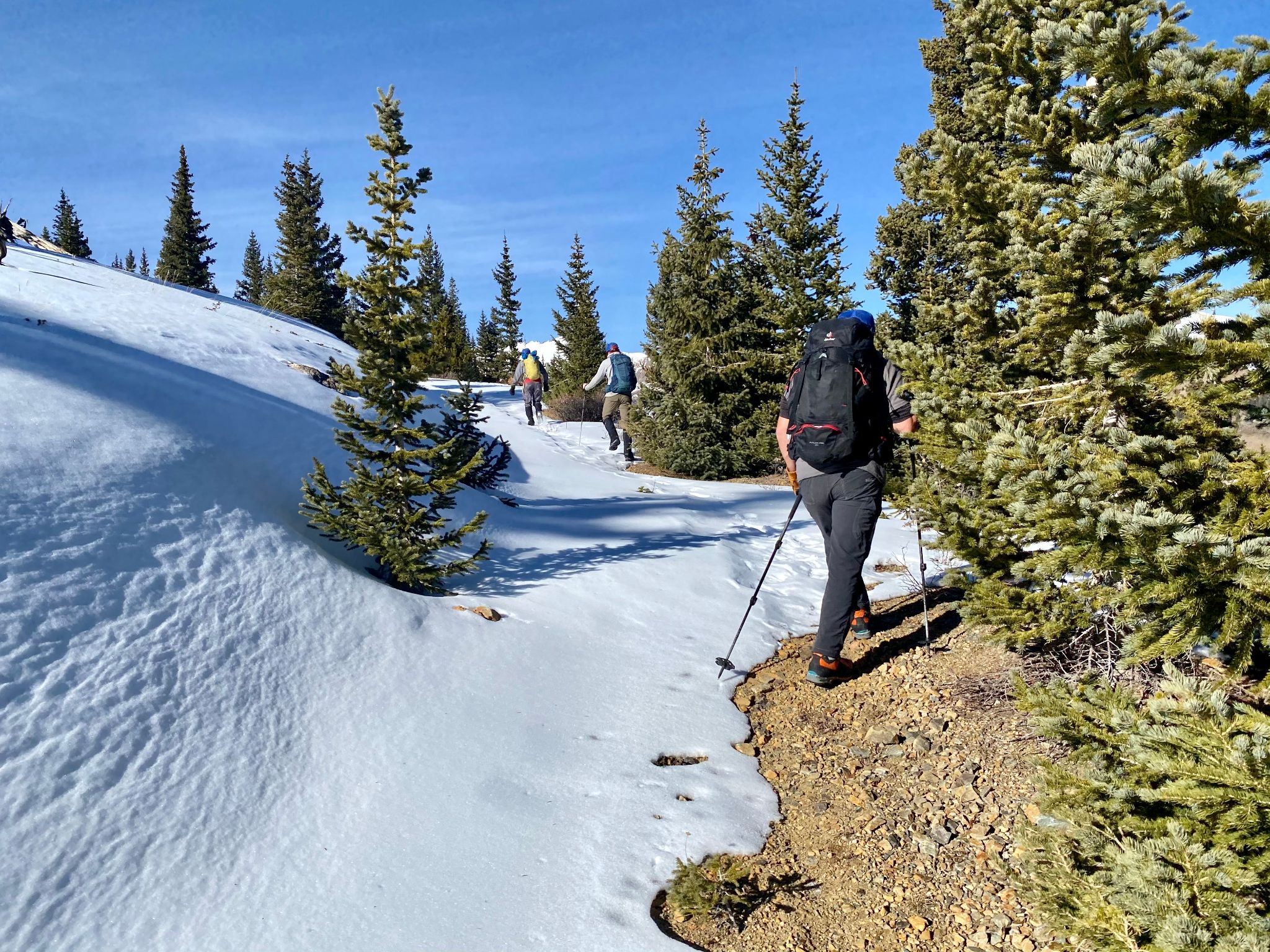
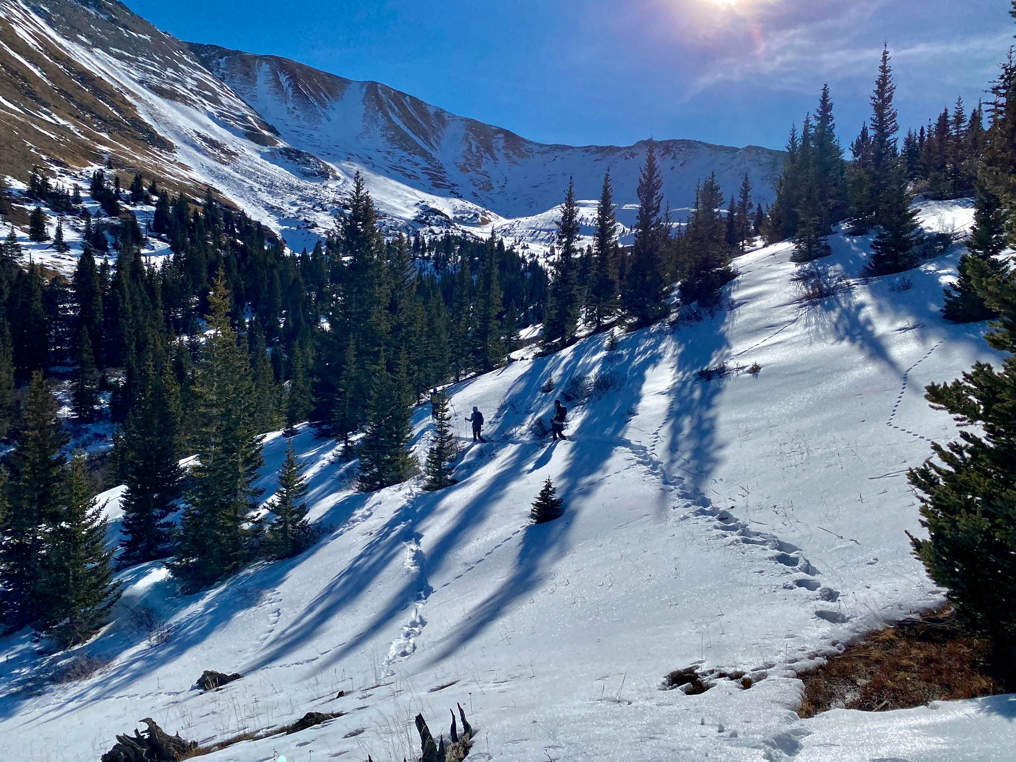
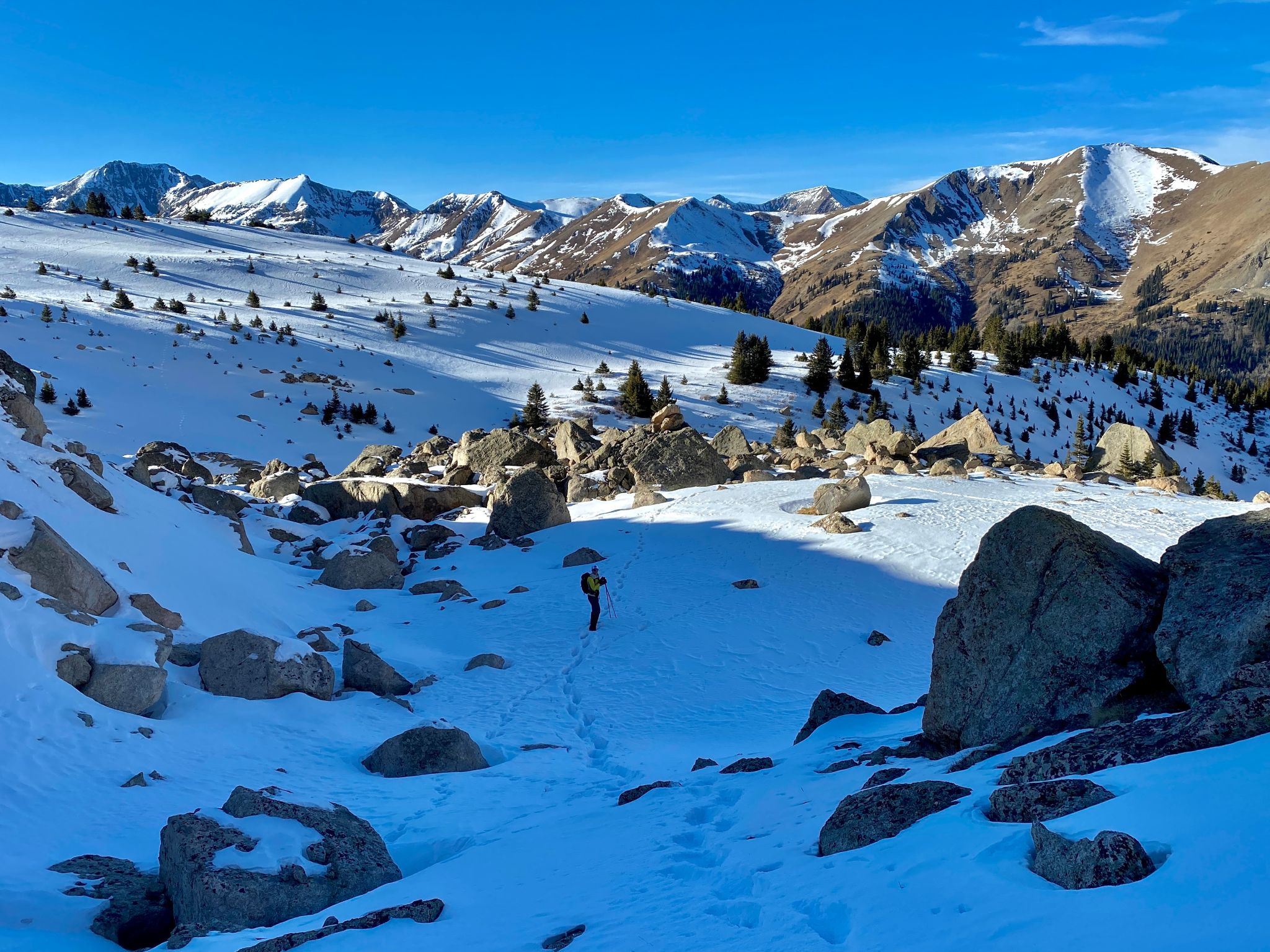
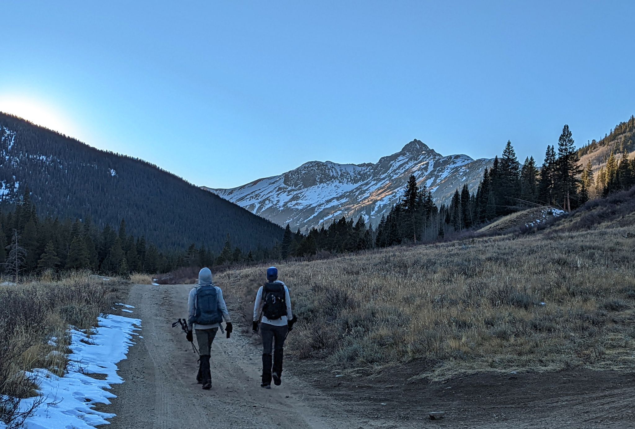
From the TH we crossed a foot bridge and generally followed a road to above treeline
![PT13460B 03]()
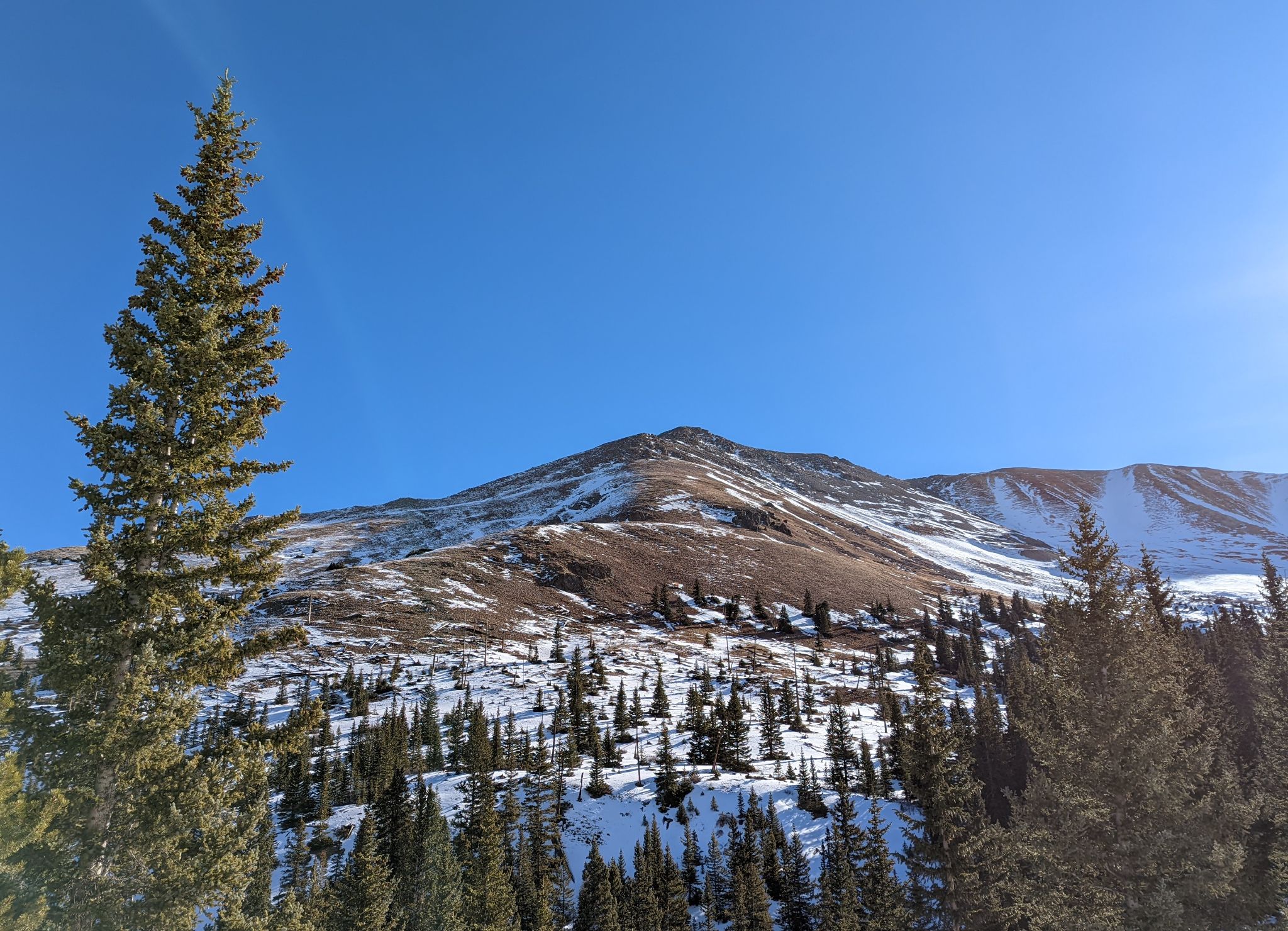
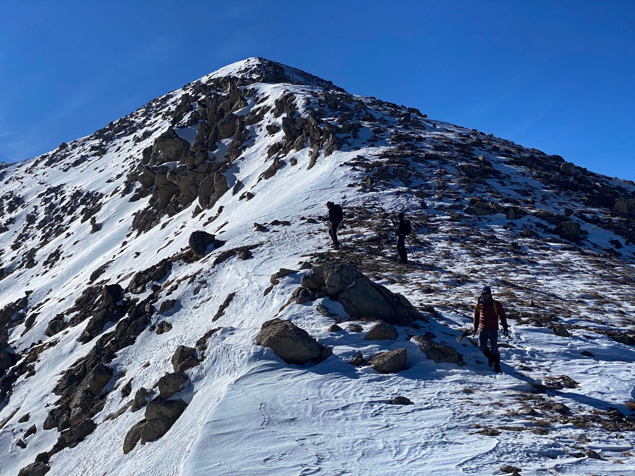
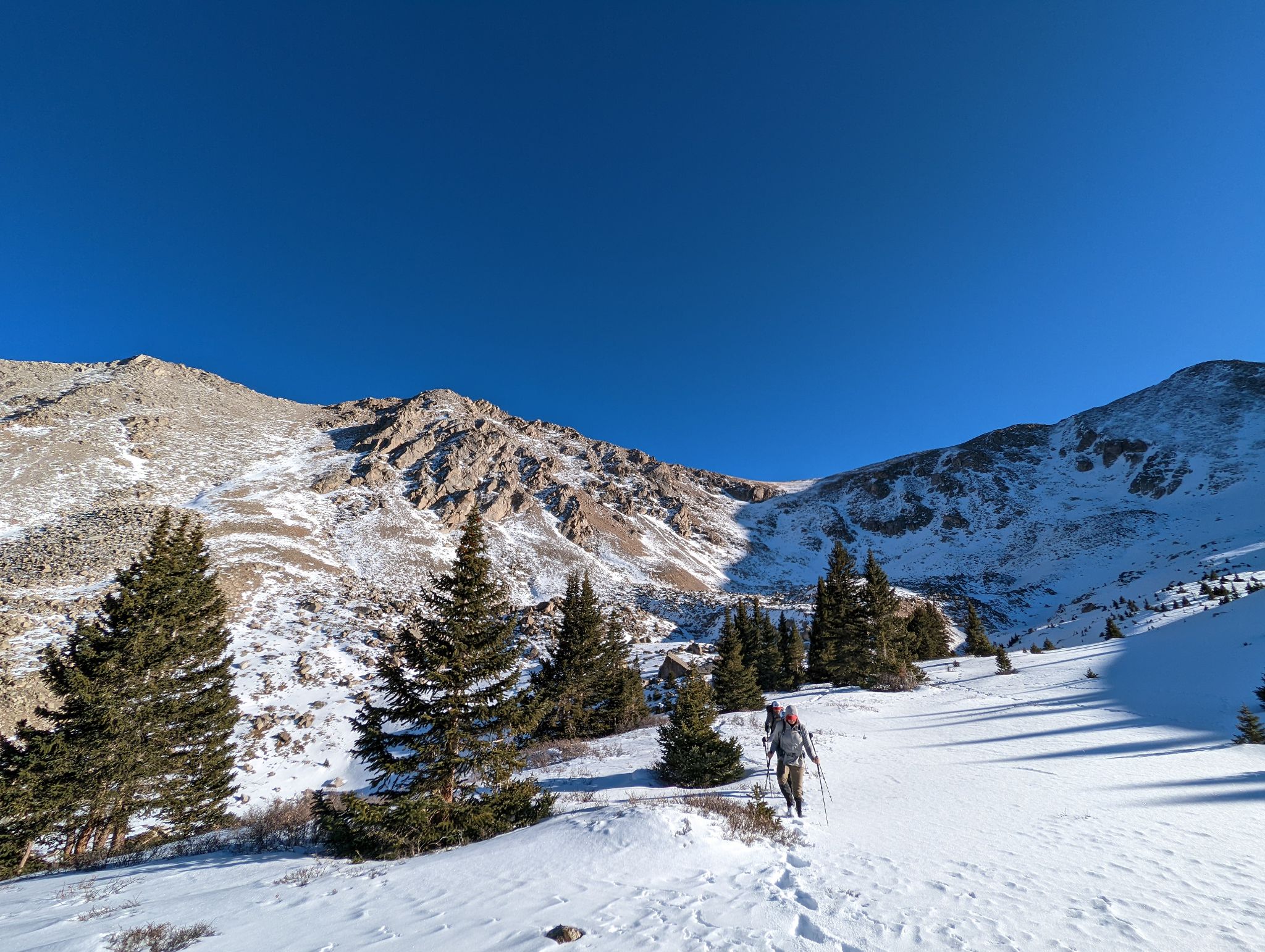
We left the road at this point and headed to a slight ridge on PT13440's western slopes
![PT13460B 04]()
the ridge we followed to PT13440's summit
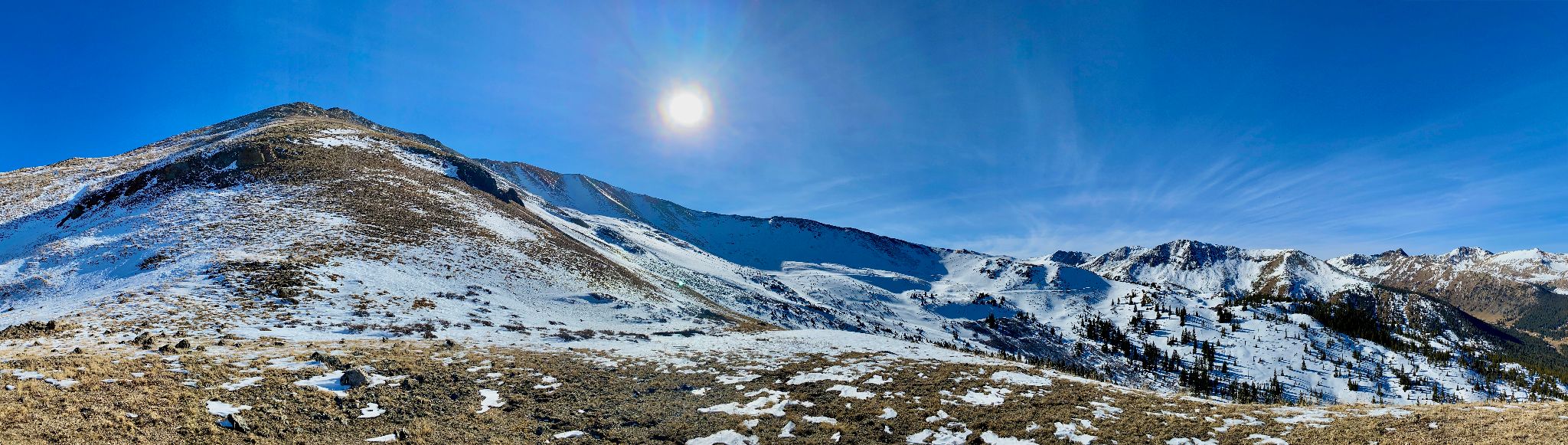
![PT13460B 05]()
PANO: PT13440's western slopes and surrounding views
![PT13460B 06]()
Garfiled(L) - Grizzly(R)
![PT13460B 07]()
Taking in the snowy Sawatch views
![PT13460B 08]()
![PT13460B 09]()
Garfield
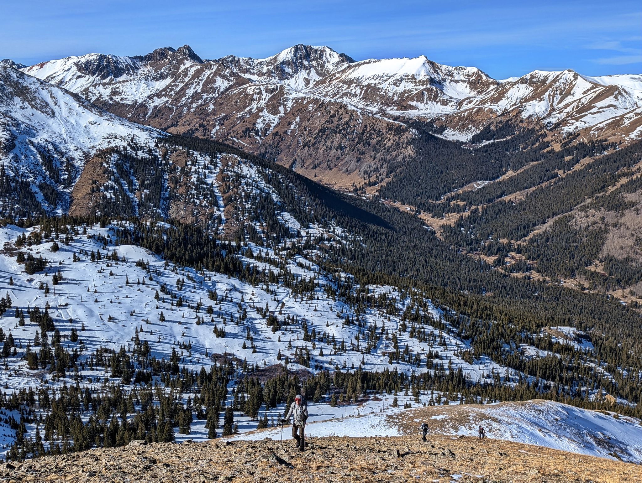
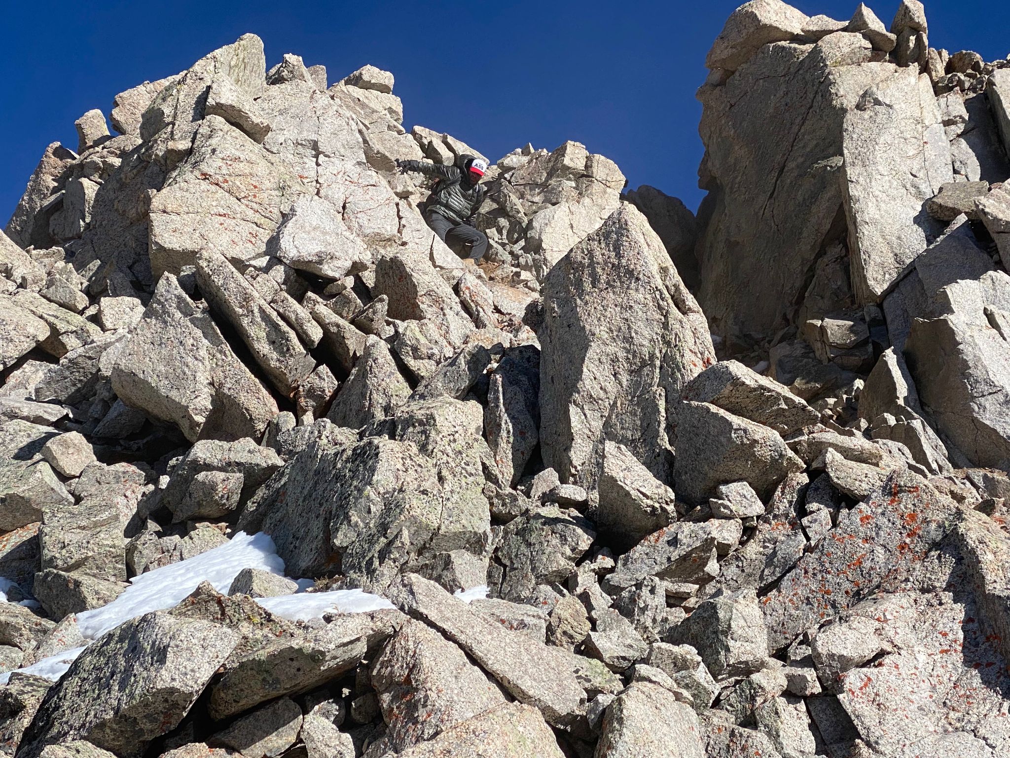
![PT13460B 10]()
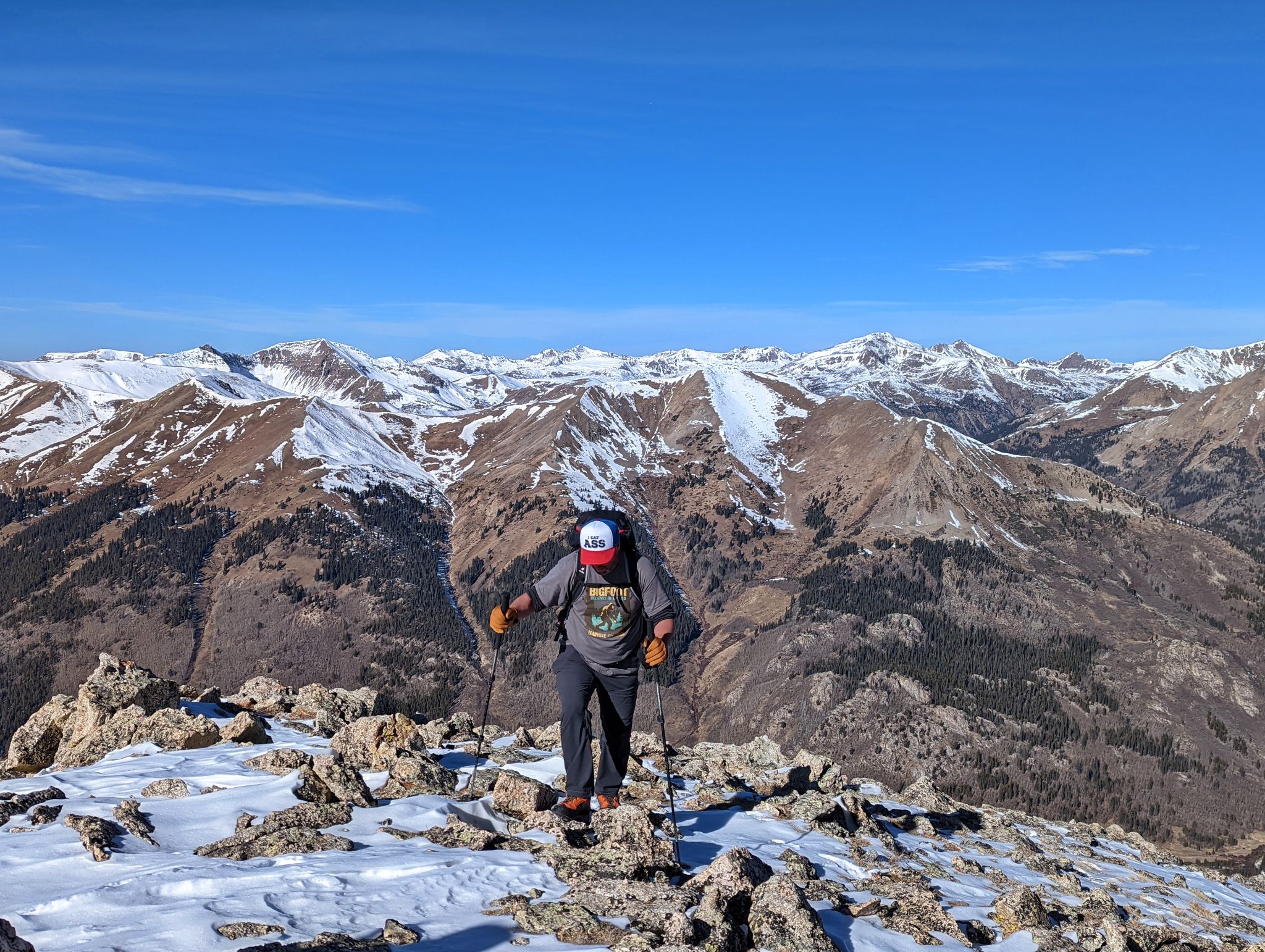
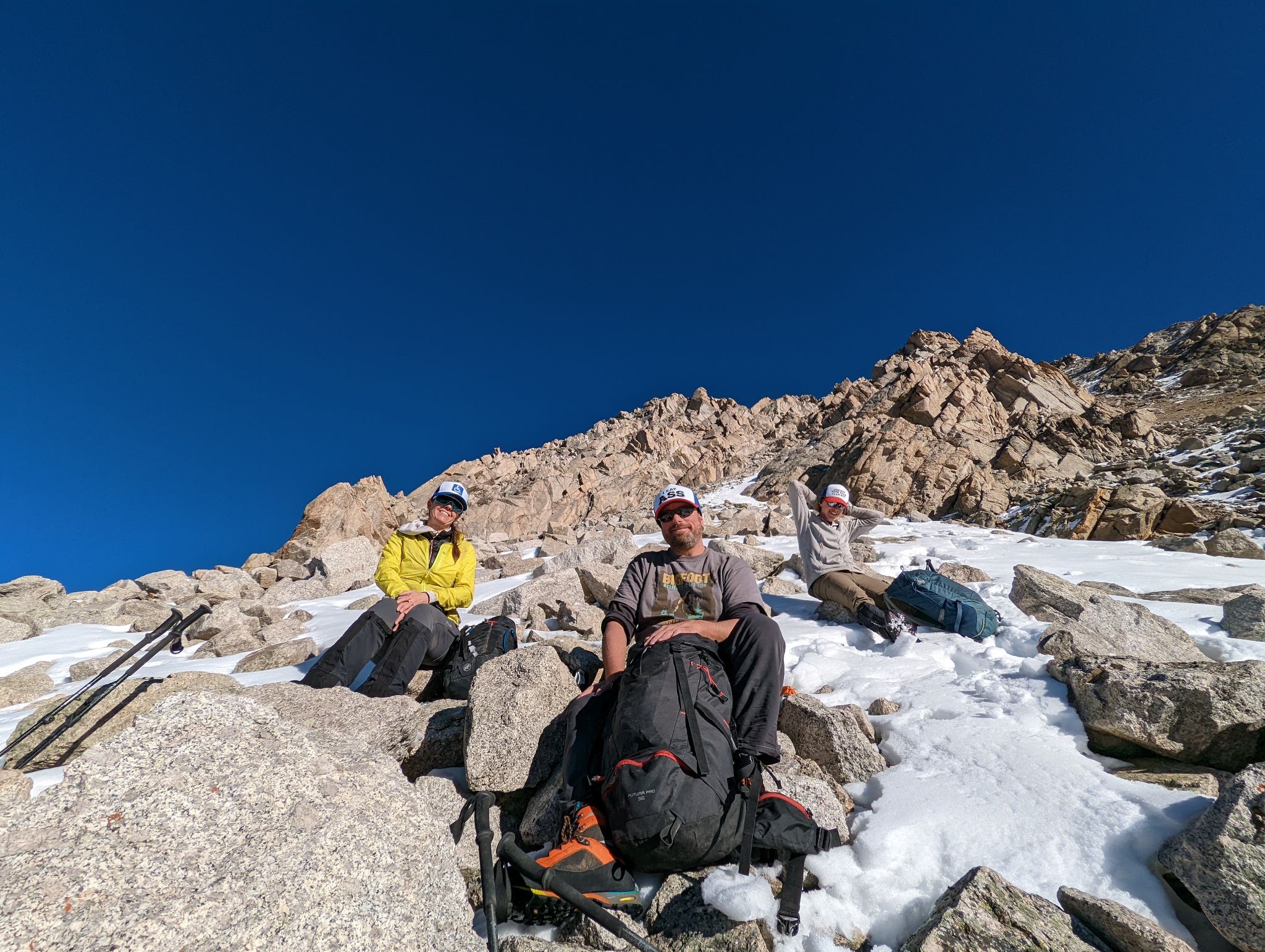
Mike, aka The Donkey(as his hat would suggest) not too far from the summit
![PT13460B 11]()
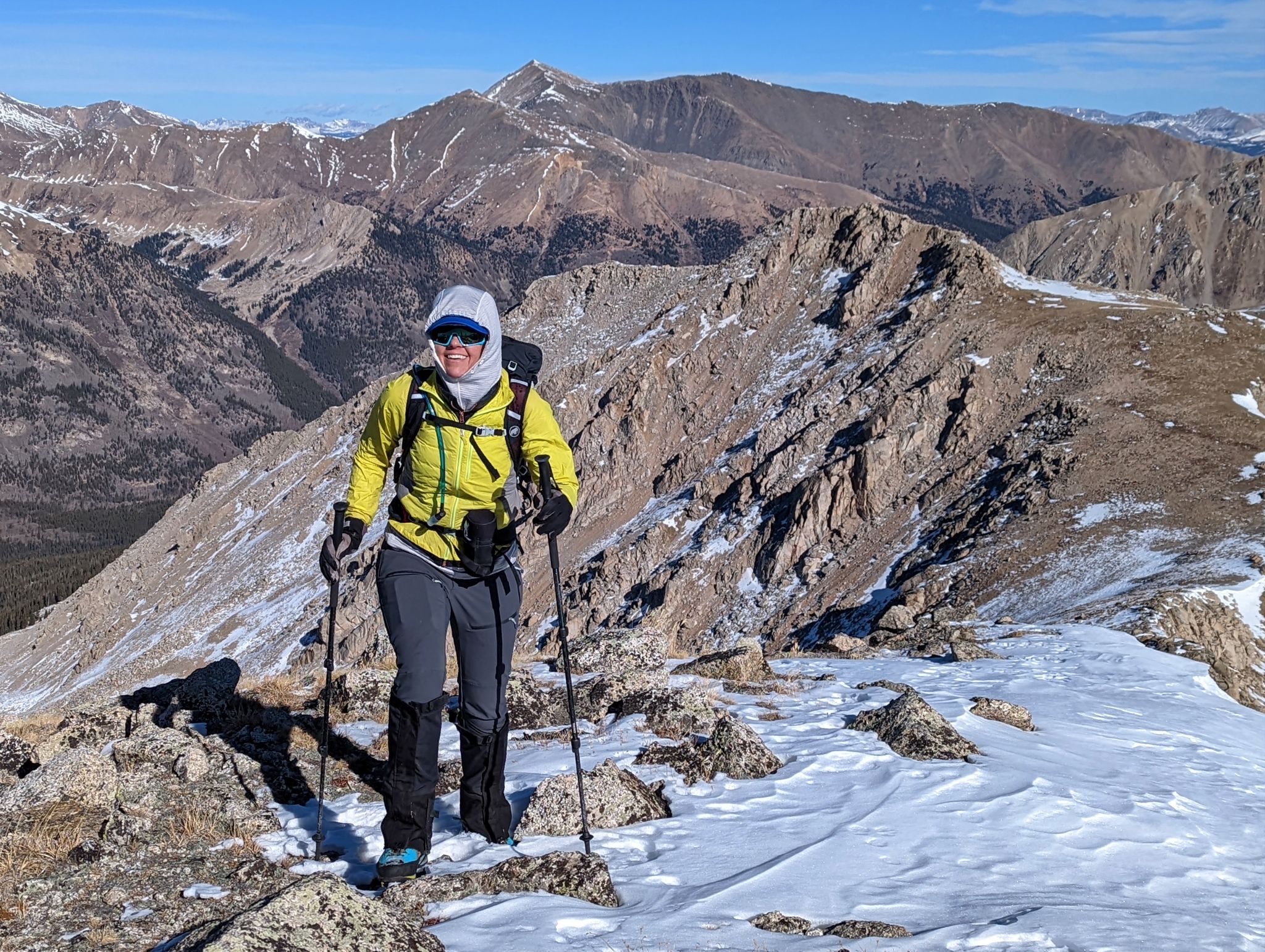
Becky stoked to be up high
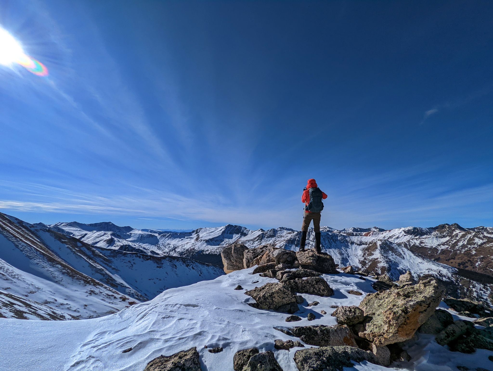
![PT13460B 12]()
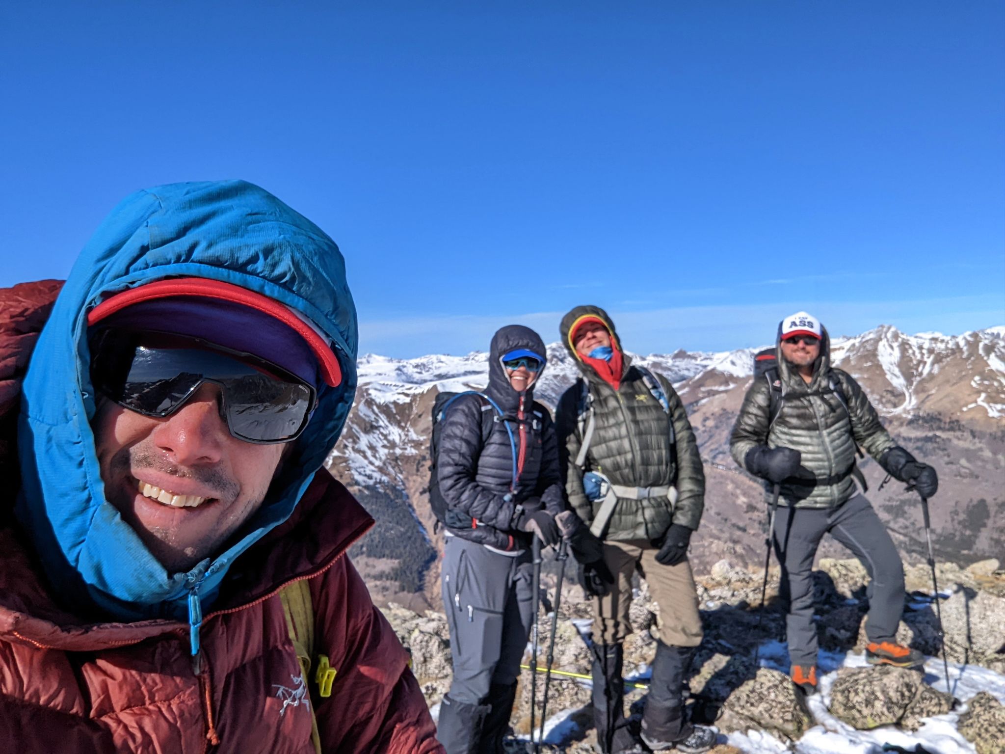
PT13440 summit selfie. Yep... it was cold
![PT13460B 13]()
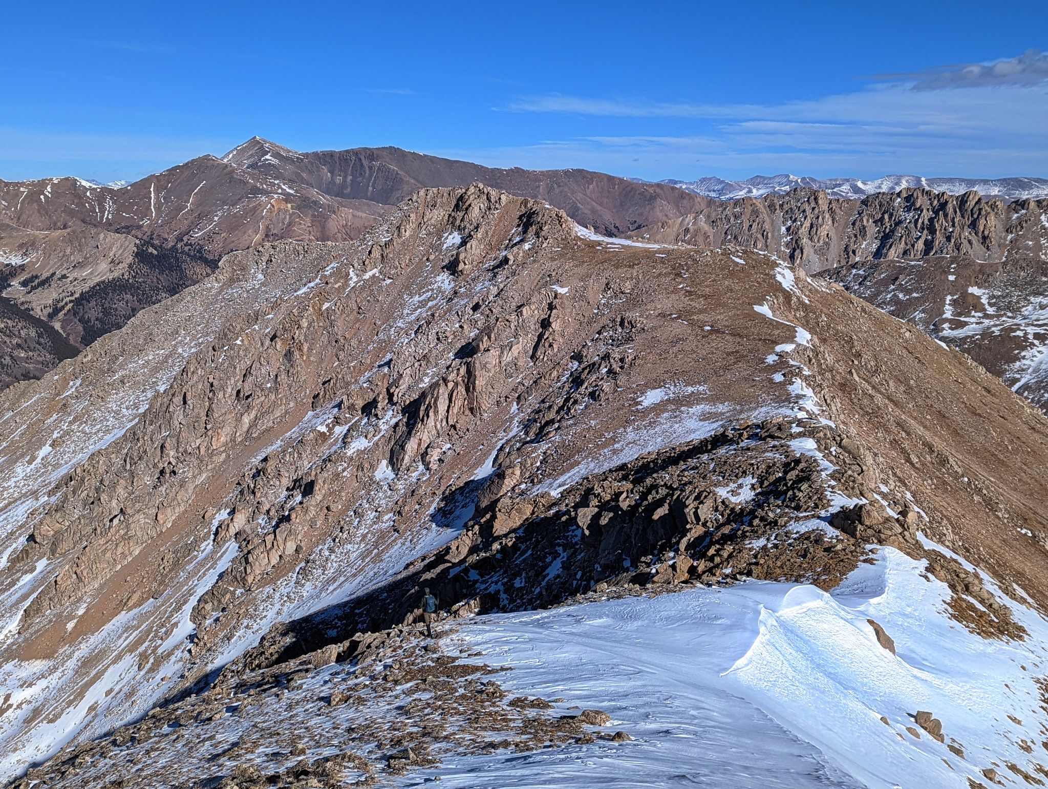
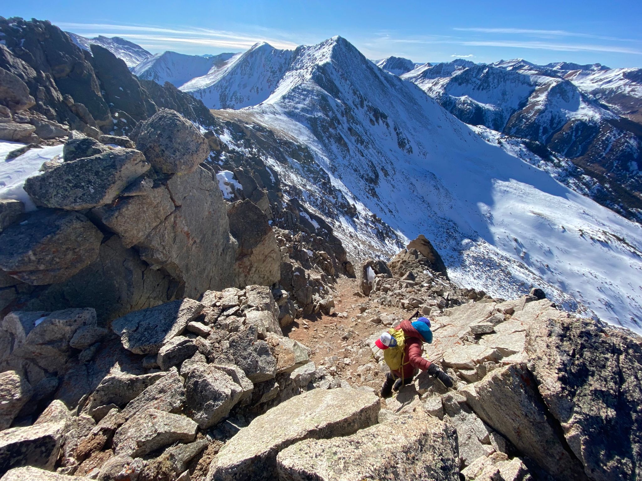
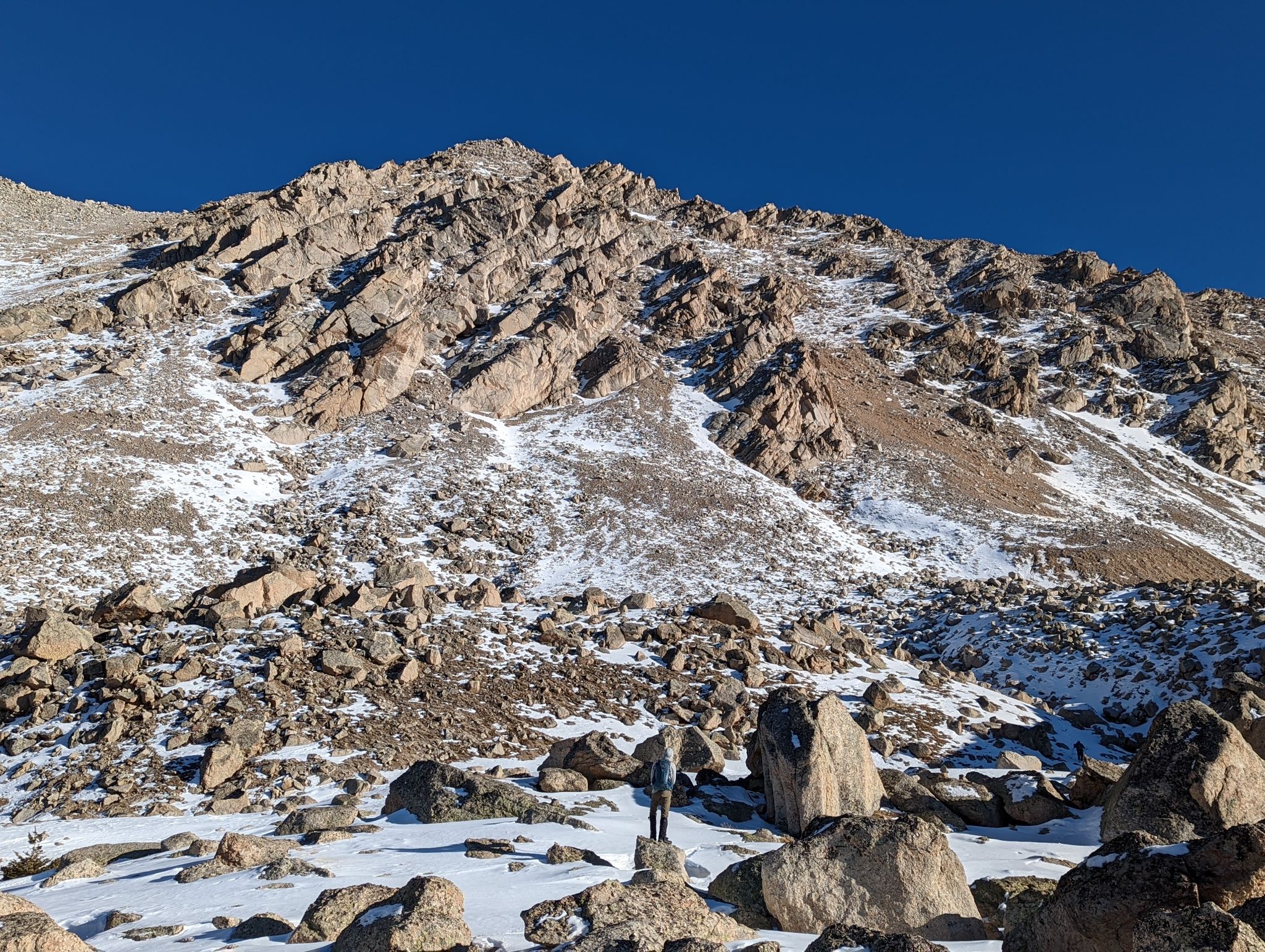
Descending PT13440's northeast ridge en-route to PT13288
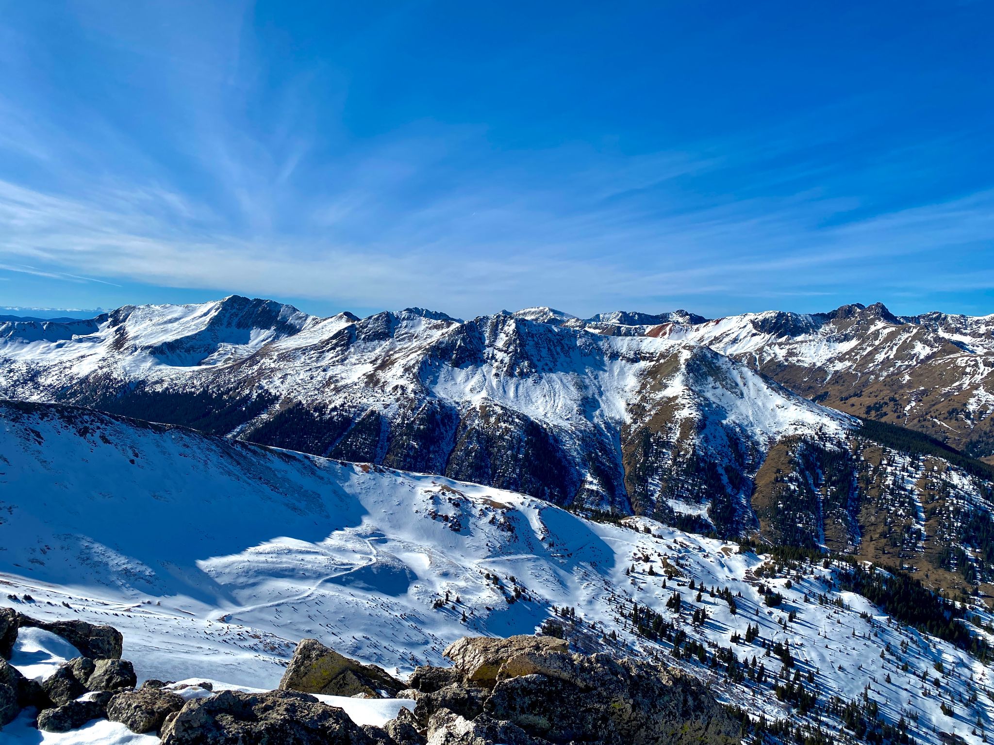
![PT13460B 14]()
The route to PT13288
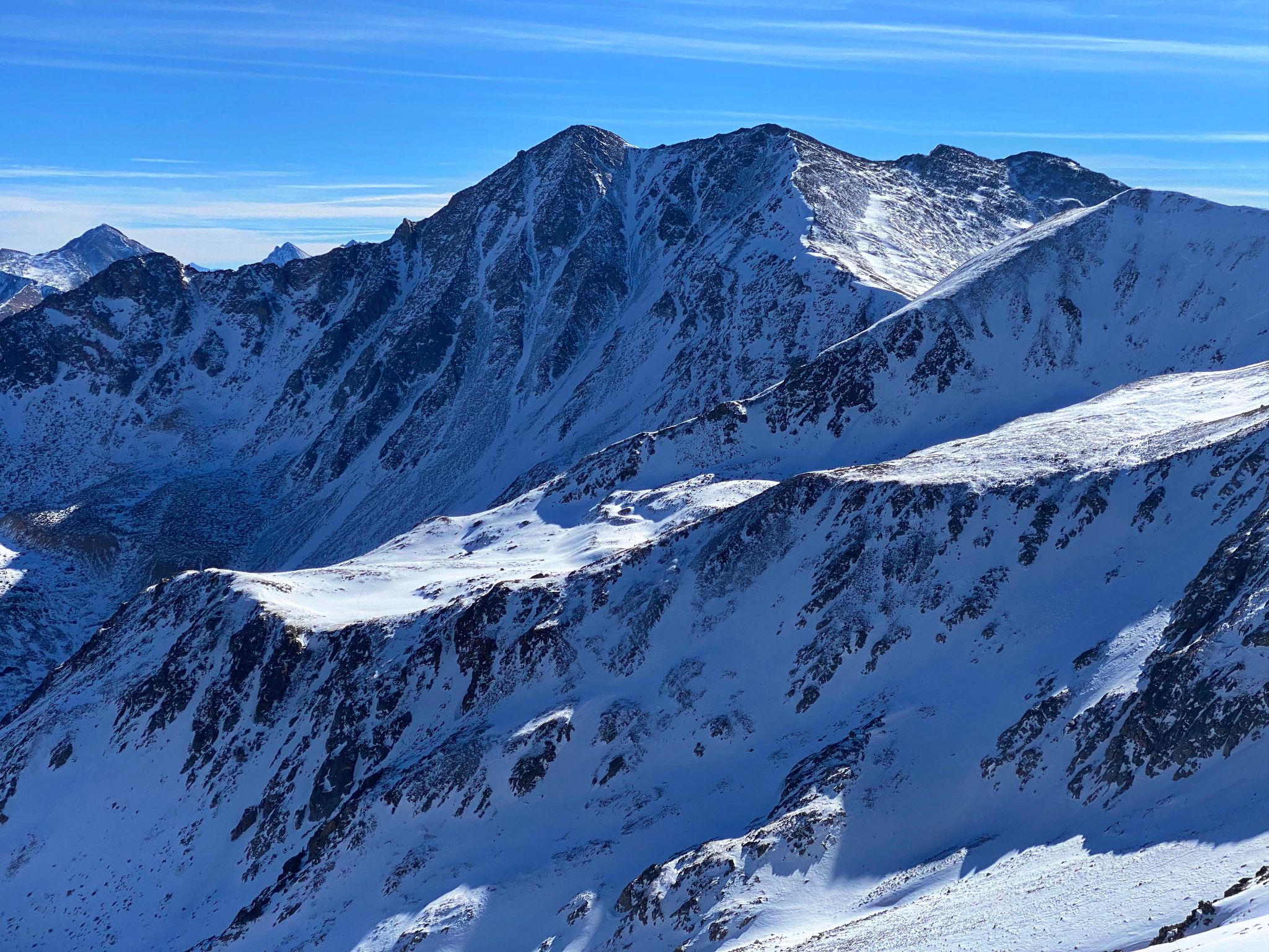
![PT13460B 15]()
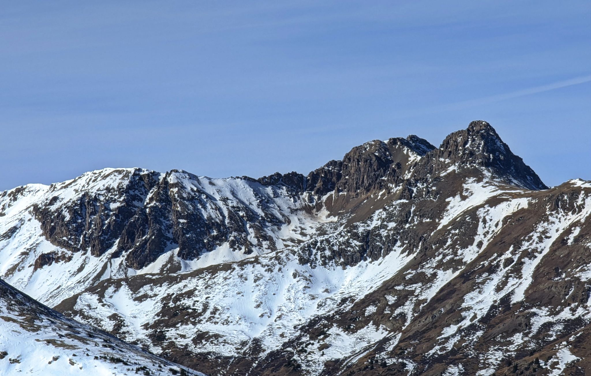
Sayres' classic north face. X-Rated and Grand Central Couloirs
![PT13460B 16]()
La Plata views
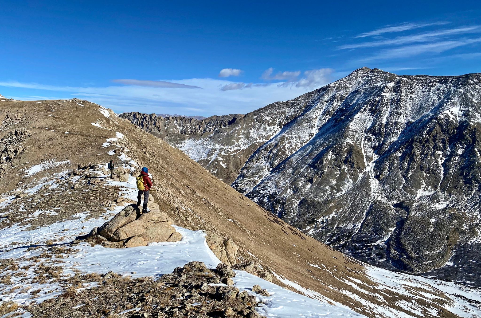
![PT13460B 17]()
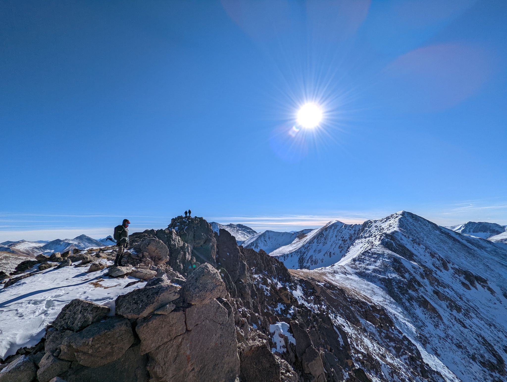
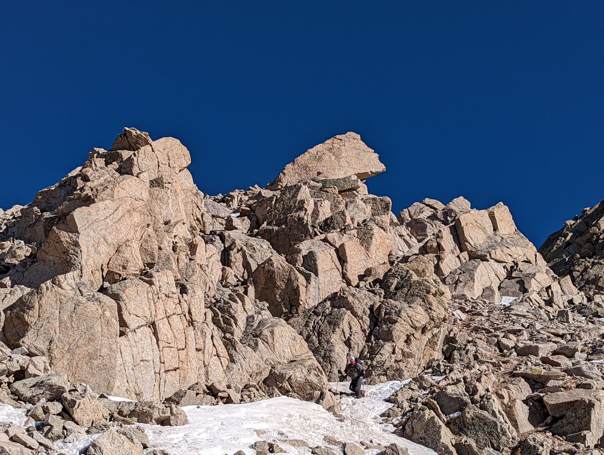
PT13288 from the saddle
![PT13460B 19]()
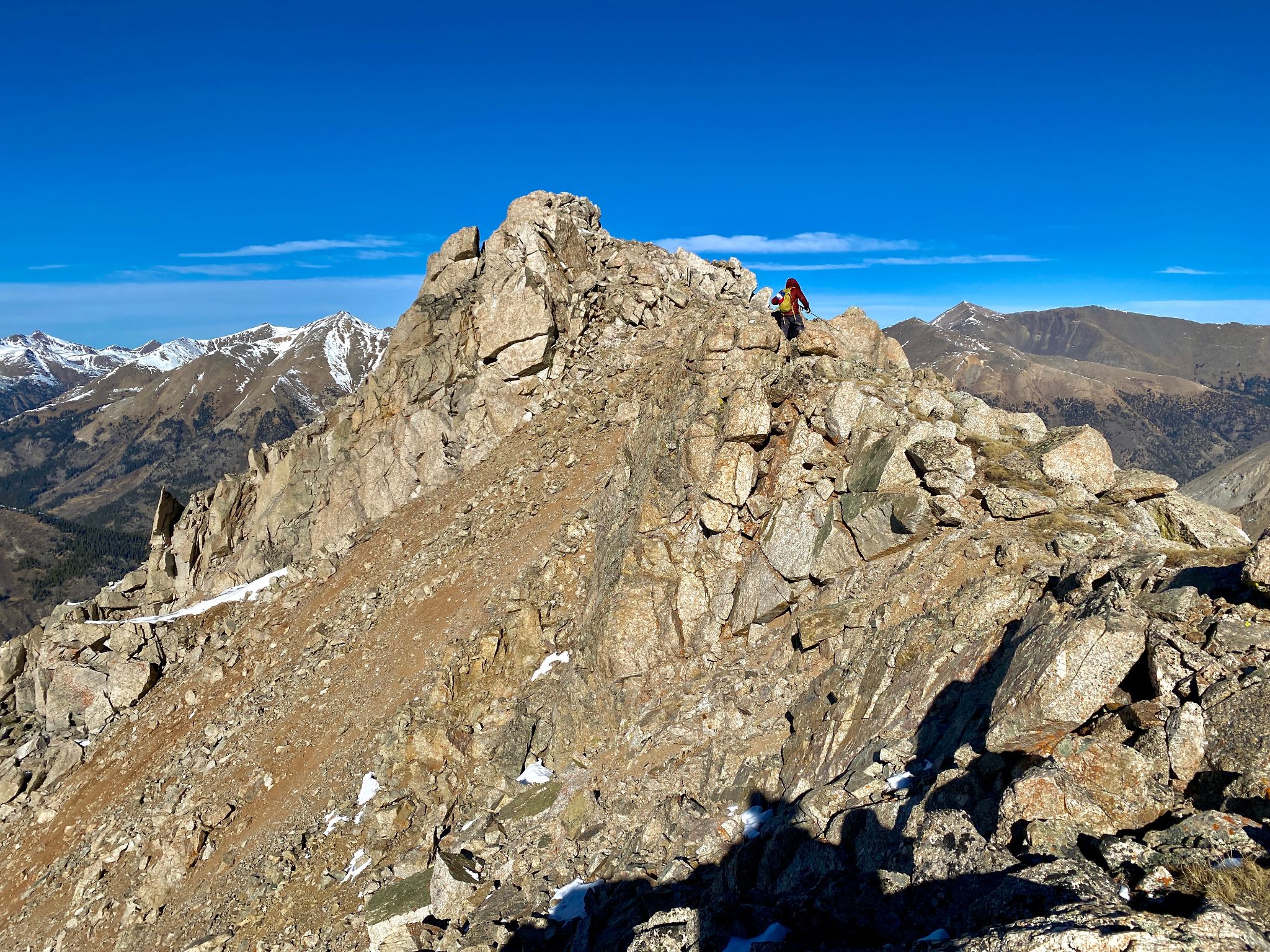
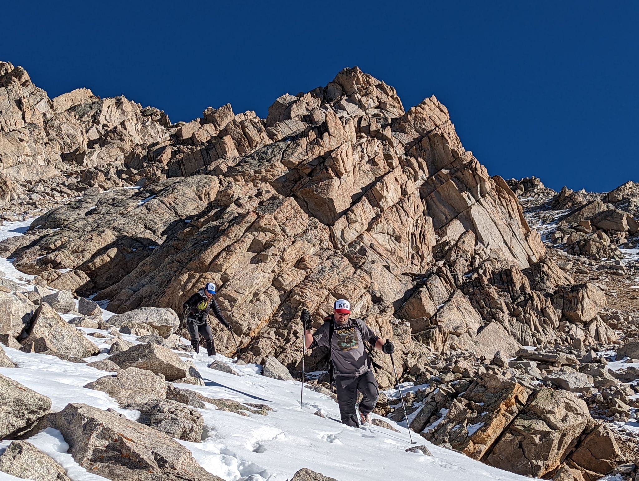
Some fun scrambling near the summit
![PT13460B 20]()
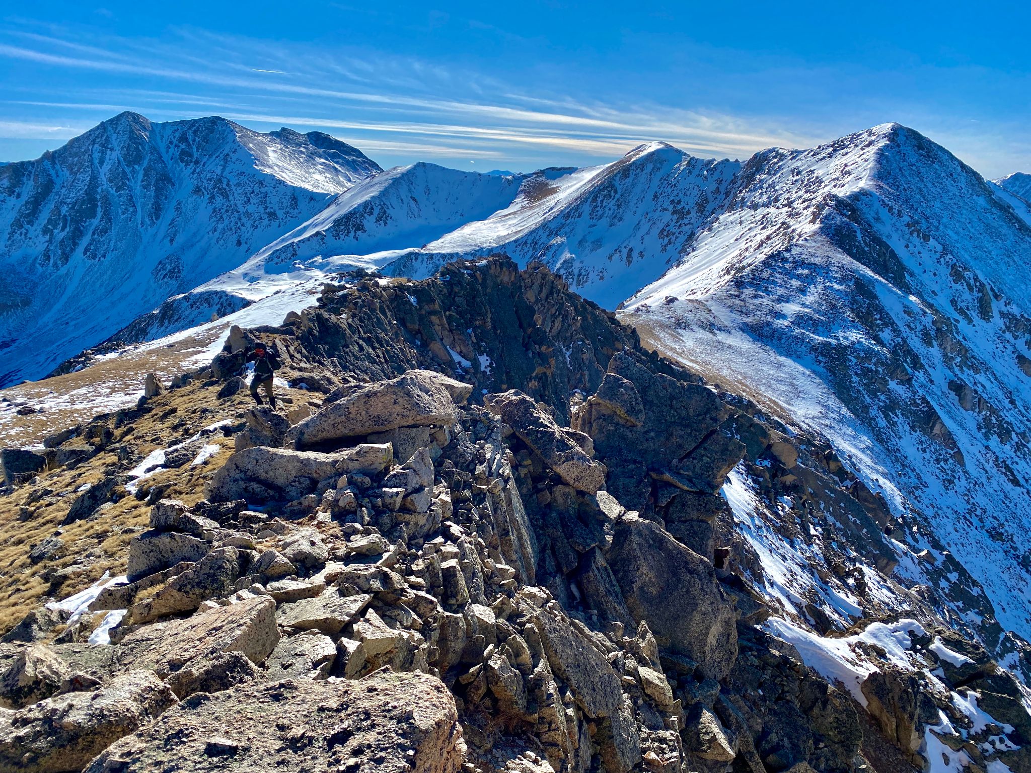
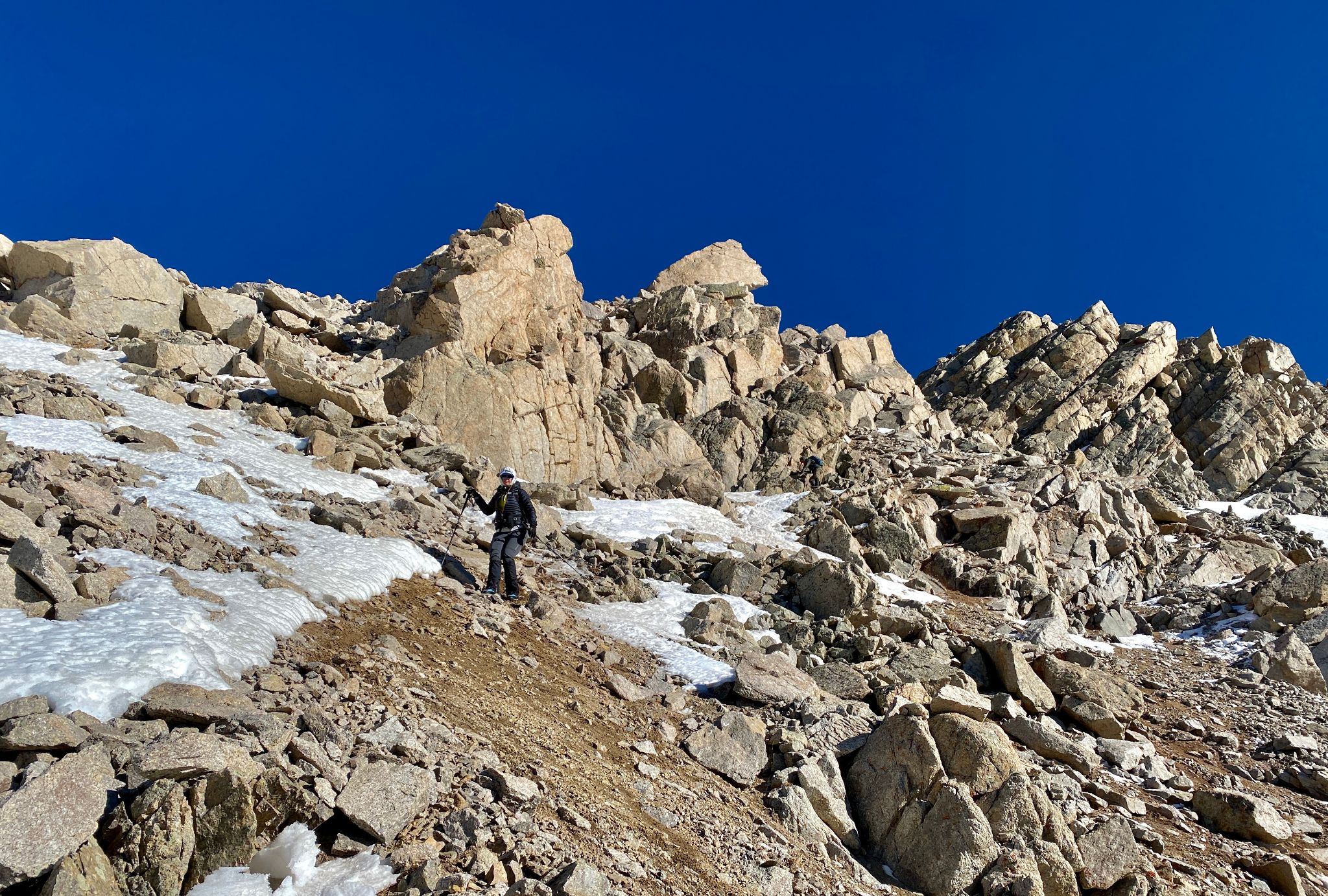
A view back to PT13440(R) and Sayres(L)
![PT13460B 21]()
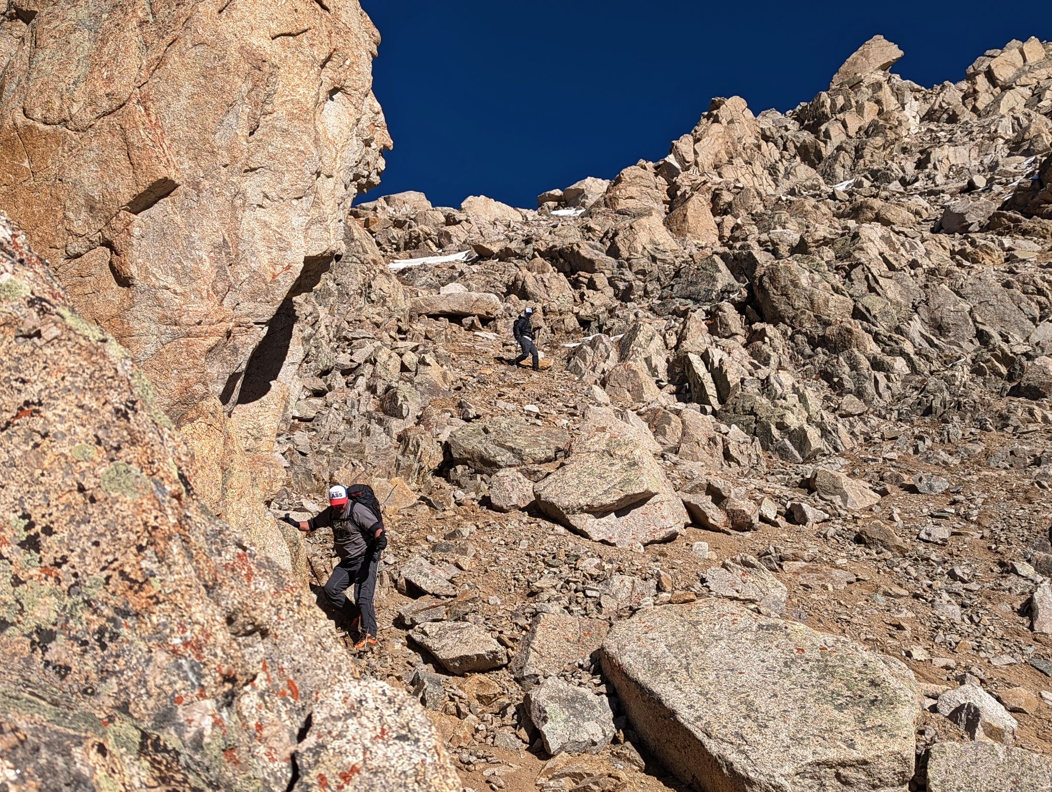
Heather eyes our sporty descent gully on PT13288's west face. Not everyone enjoyed the descent... however I thought it was kinda fun.
![PT13460B 22]()
Mike starts his descent
![PT13460B 23]()
A view down the first pitch. It was important to protect each other from rock fall
![PT13460B 24]()
![PT13460B 25]()
![PT13460B 26]()
Sticking to edges were possible helped protect from rock fall
![PT13460B 27]()
![PT13460B 28]()
The crew stoked that section is in the rear view
![PT13460B 29]()
Looking back to our descent route
![PT13460B 30]()
We traversed across the snow to a gully in the trees
![PT13460B 31]()
![PT13460B 32]()
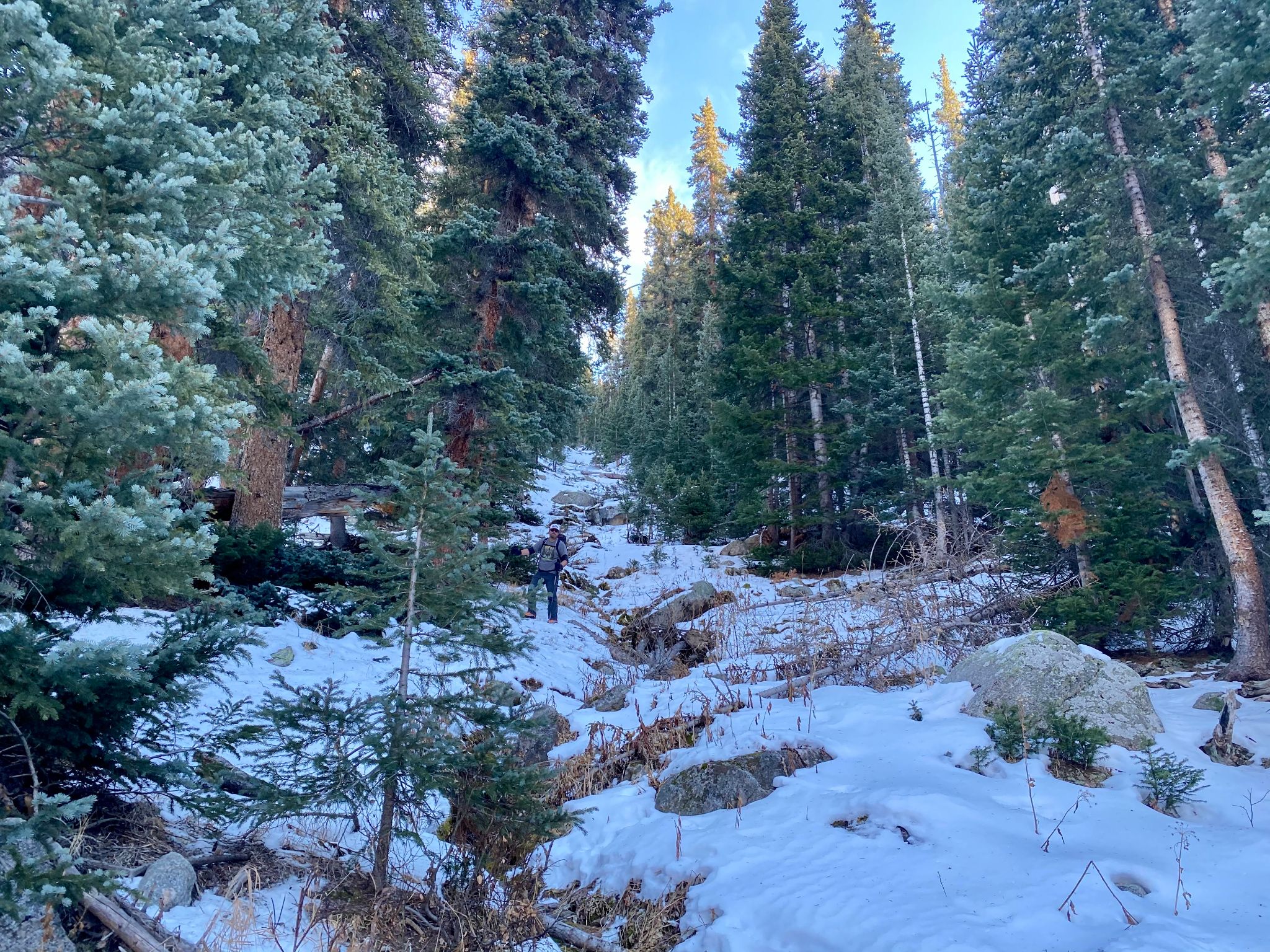
The gully to the road was another section that was not enjoyed by everyone. However if you like a good bushwhack there was some fun to be had!
![PT13460B 33]()
Walking the road back to the car
![PT13460B 34]()
Back at the cars... everyone happy... and our peaks glowing in the setting sun. PT13440(R) - PT13288(L)