Rito Alto
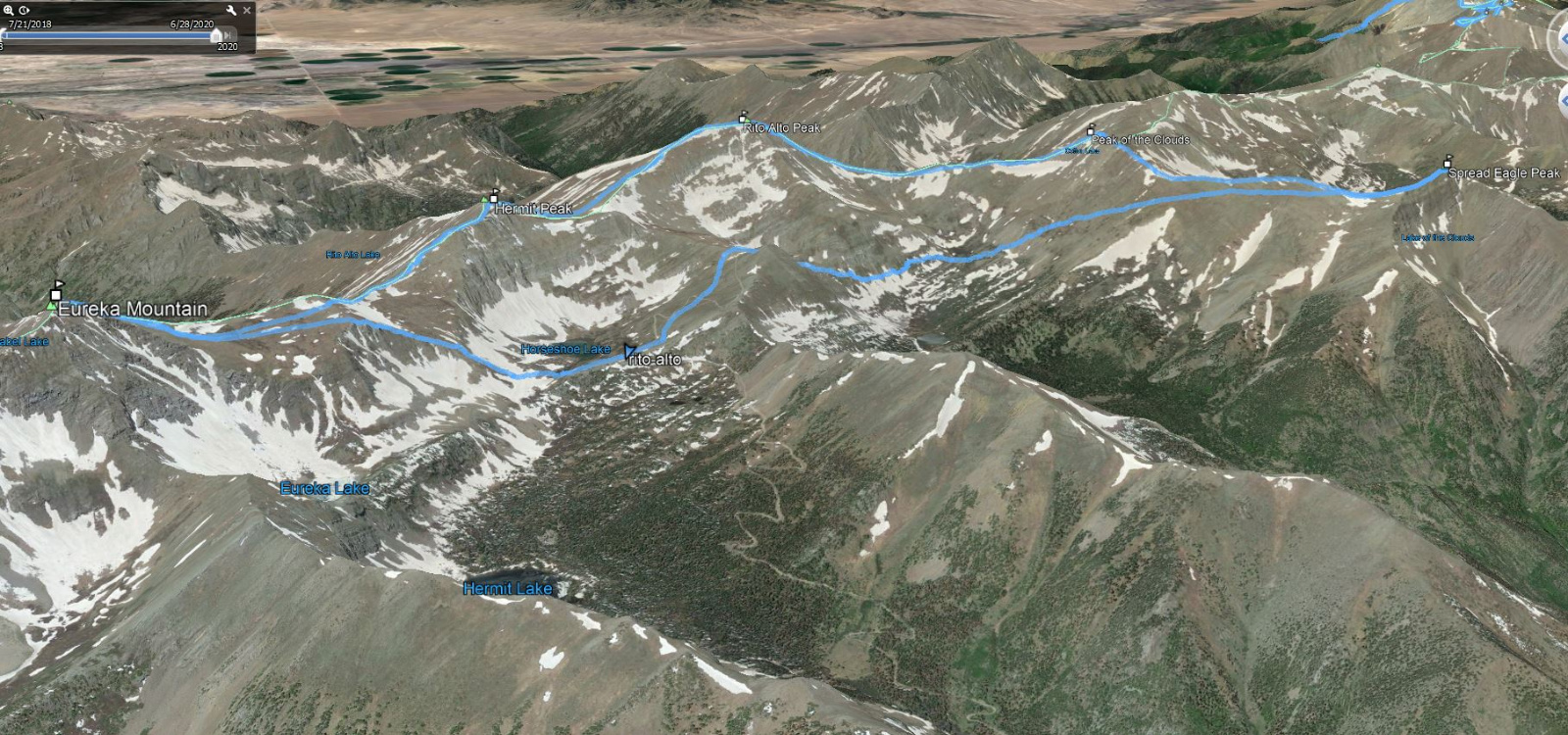
Eureka, Yahoo, Hermit, Rito Alto, Peak of the Clouds, Spread Eagle
Date: 6/20/2020
Start: Horseshoe Lake (Below Hermit Pass)
Summits: Eureka, Yahoo, Hermit, Rito Alto, Peak of the Clouds, Spread Eagle
Miles: 10.1
Vertical: 4900ft
Time: 7.5 Hours
Class 2
Partner: Solo
GPX
Hermit Pass Road was rough and tedious to drive. There was no real four wheelin fun... just baby head style rough. However I did feel fortunate to be able to drive to Horseshoe Lake as walking the road wouldhave been no fun at all.
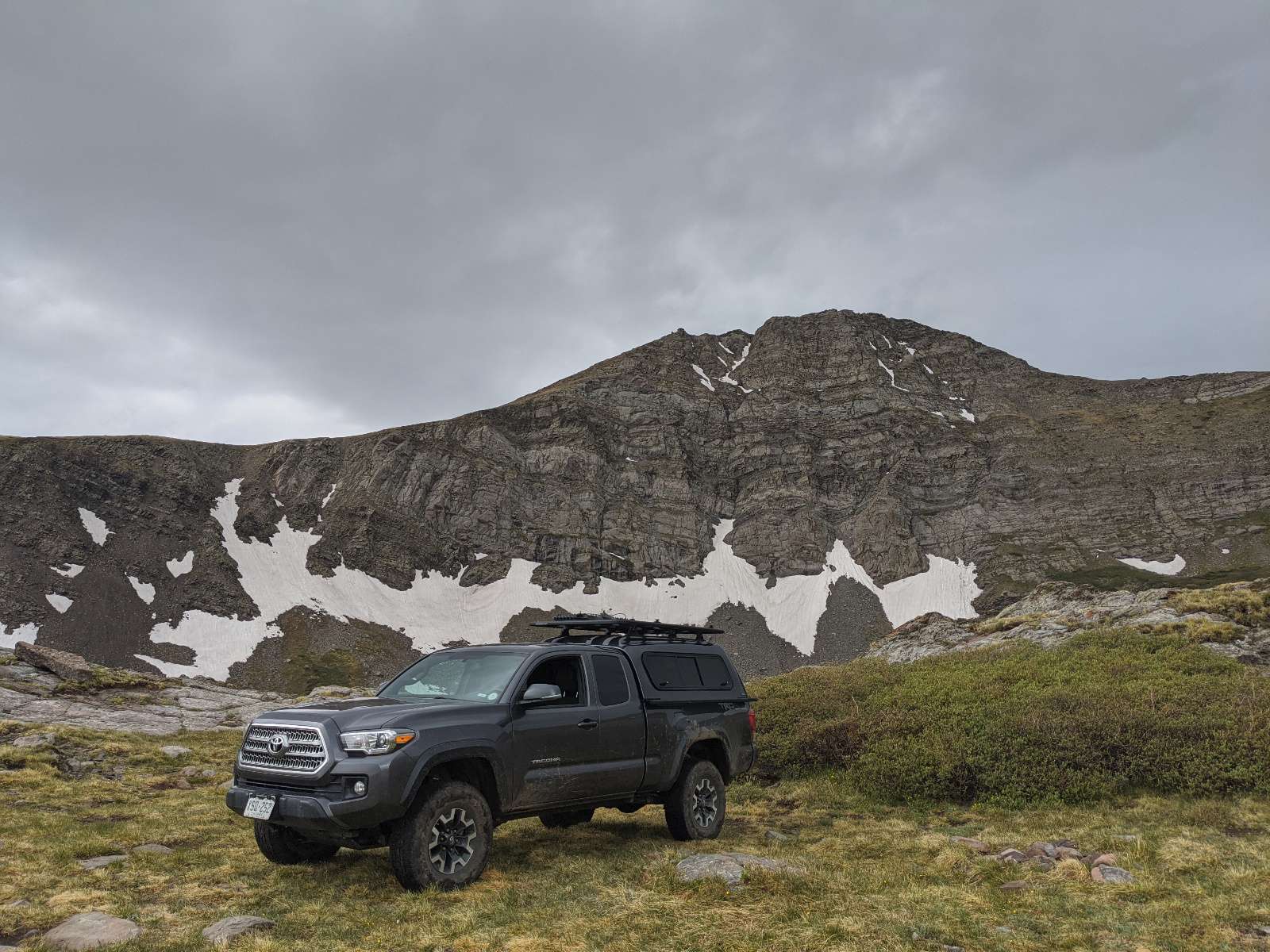
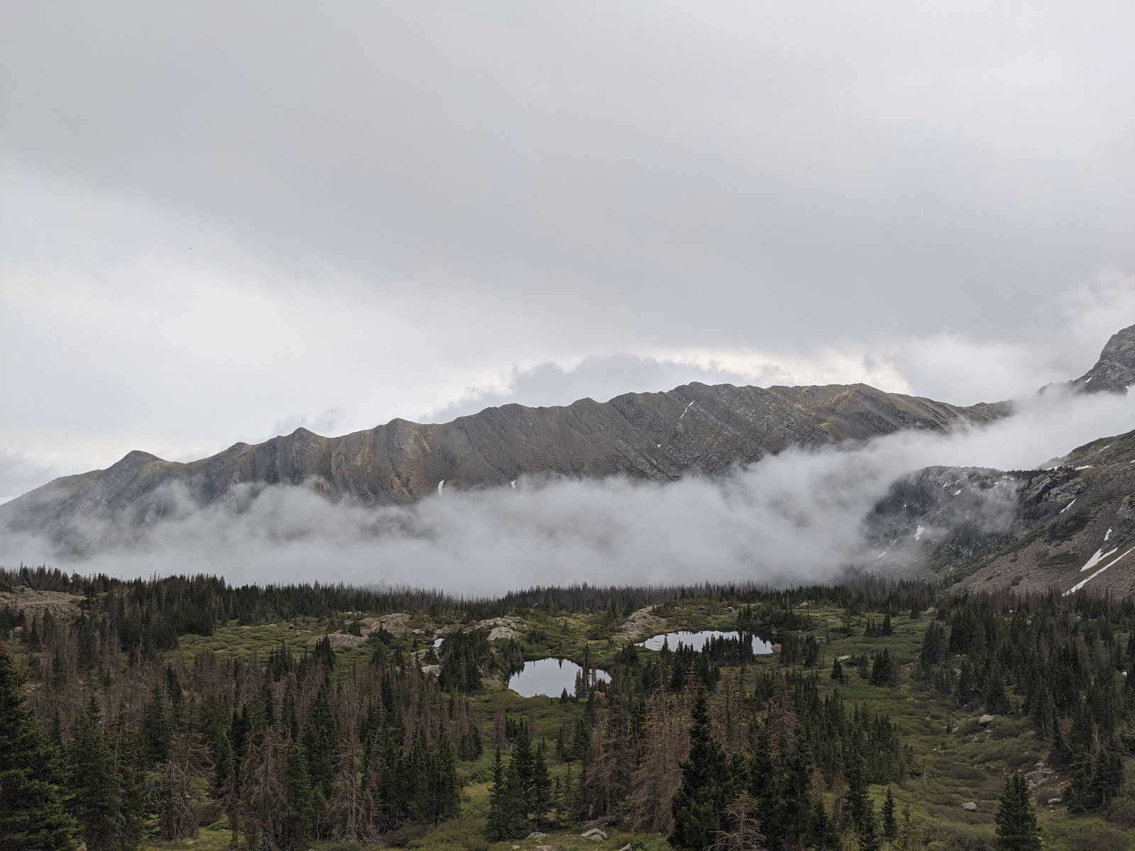
I arrived at Horseshoe lake early... around 4pm... and found a great spot to sleep in the truck close to the lake. The weather was moody so I decided to hunker down for a couple of hours then go on a scouting mission when the weather was forecasted to clear up around 6pm. Over the next couple of hours it rained and snowed. It was pretty cozy in the back of the truck.
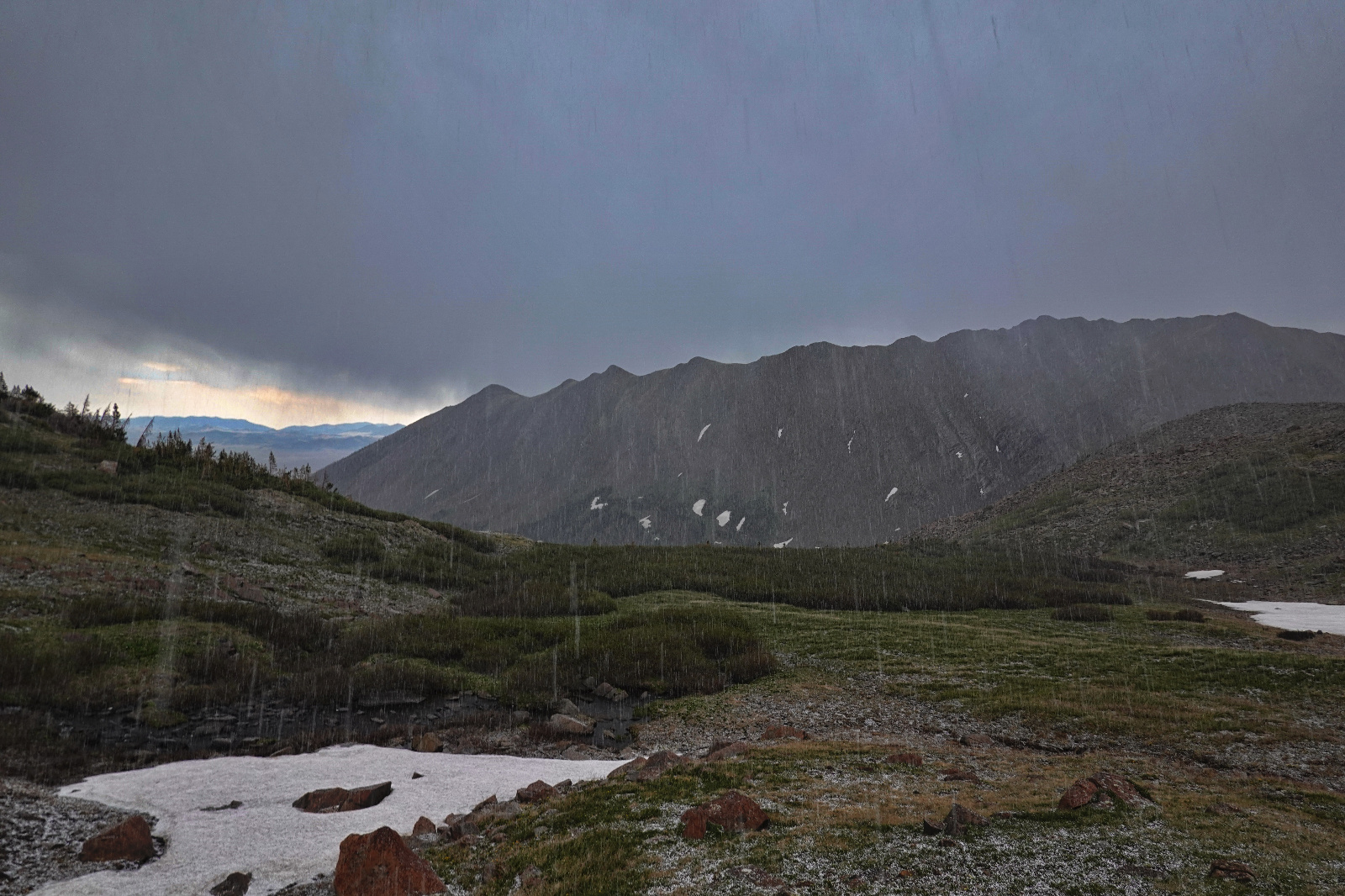
Sure enough it looked to be clearing at 6pm. So I geared up and headed towards the weakness in Eureka's NE flank on the S side of the lake. Although it was still cloudy I was starting to think that maybe I should attempt Eureka and Hermit that night. However as I reached the grassy area above the rocky weakness it started to thunder. Then lightning flashes above the clouds. Then snow and continued thunder and lightning. Run away... run away!!! I retreated and enjoyed the rest of the storm followed by a sunset in the comfort of the truck.
By the next morning the weather had cleared and I had a bluebird day to enjoy this classic group of peaks.
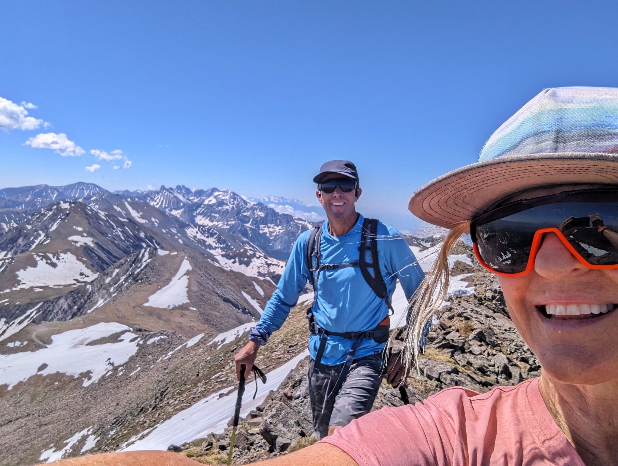
Came back on 6/15/2024 with Kristi to summit the mighty Yahoo Mountain. We climbed Rito Alto then traversed south along the ridges to Eureka. When traveling south to north Yahoo doesn't seem significant... however going north to south it seems much more relevant.
Eureka Peak 14ers.com Page
Yahoo Mtn 14ers.com Page
Hermit Peak 14ers.com Page
Rito Alto Peak 14ers.com Page
Peak of the Clouds 14ers.com Page
Spread Eagle Peak 14ers.com Page
![Rito alto 01]()
10.1m - 4900ft - 7.5 Hrs
![Rito alto 02]()
A Great Spot for Truck Camping Below Hermit Peak
![Rito alto 03]()
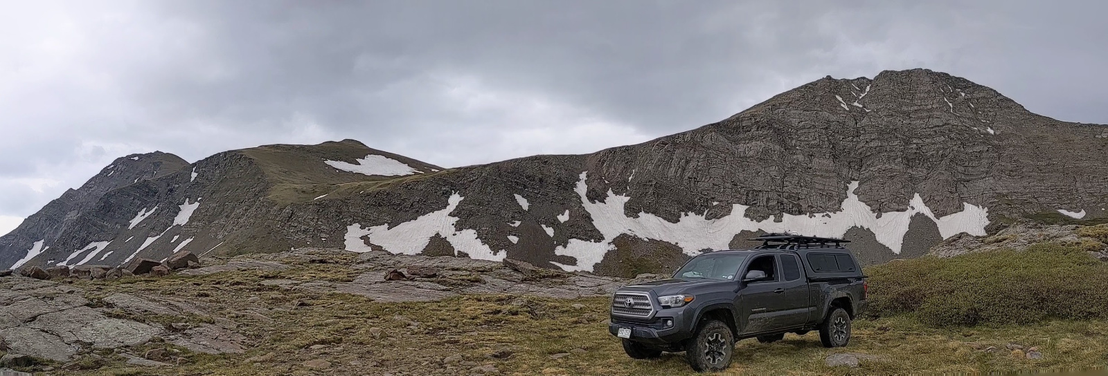
Camp! Eureka Peak (upper left) & Hermit (right)
![Rito alto 04]()
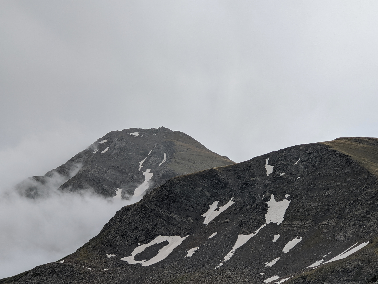
Eureka! Don't be so moody
![Rito alto 05]()
Eureka's East Ridge from Camp
![Rito alto 06]()
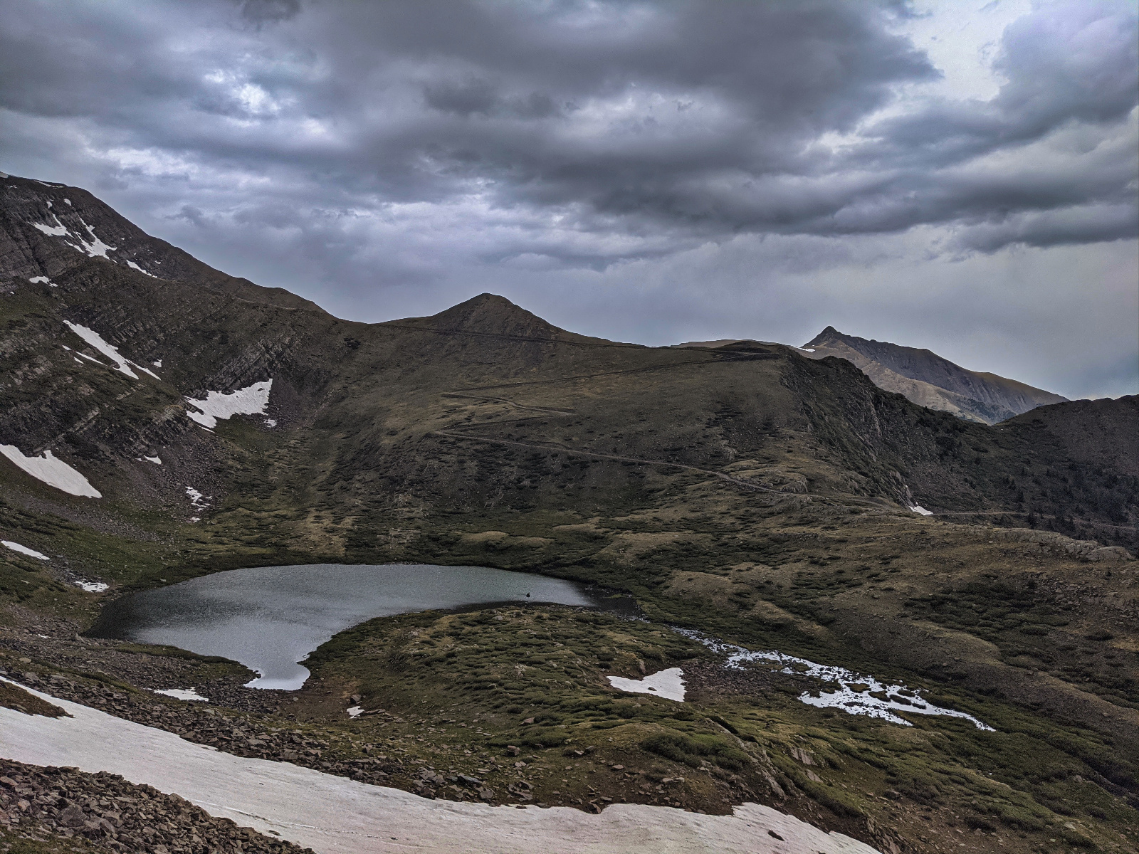
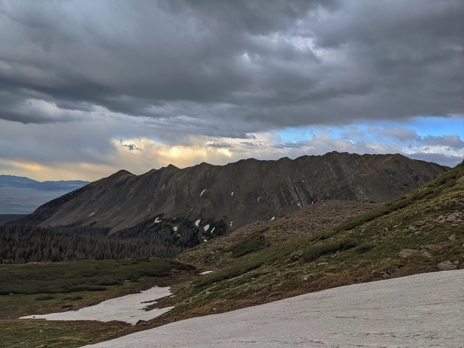
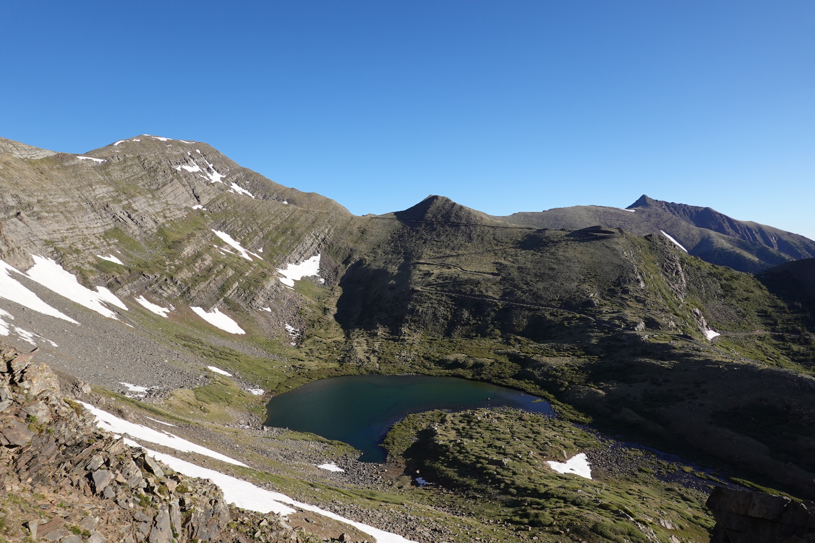
Horseshoe Lake - Hermit Pass Road - Peak of the Clouds (center) - Spread Eagle Peak (right)
![Rito alto 07]()
Run Away... Run Away. Thunder Snow and Lightning
![Rito alto 08]()
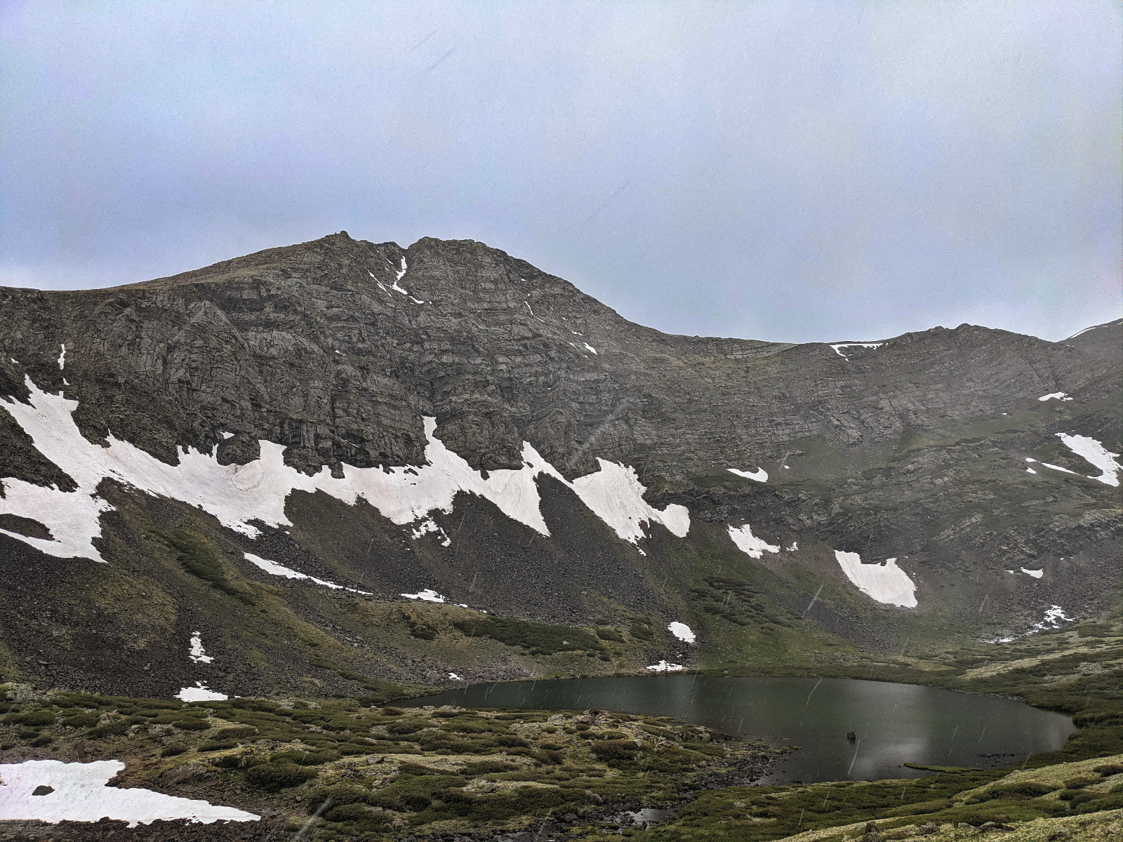
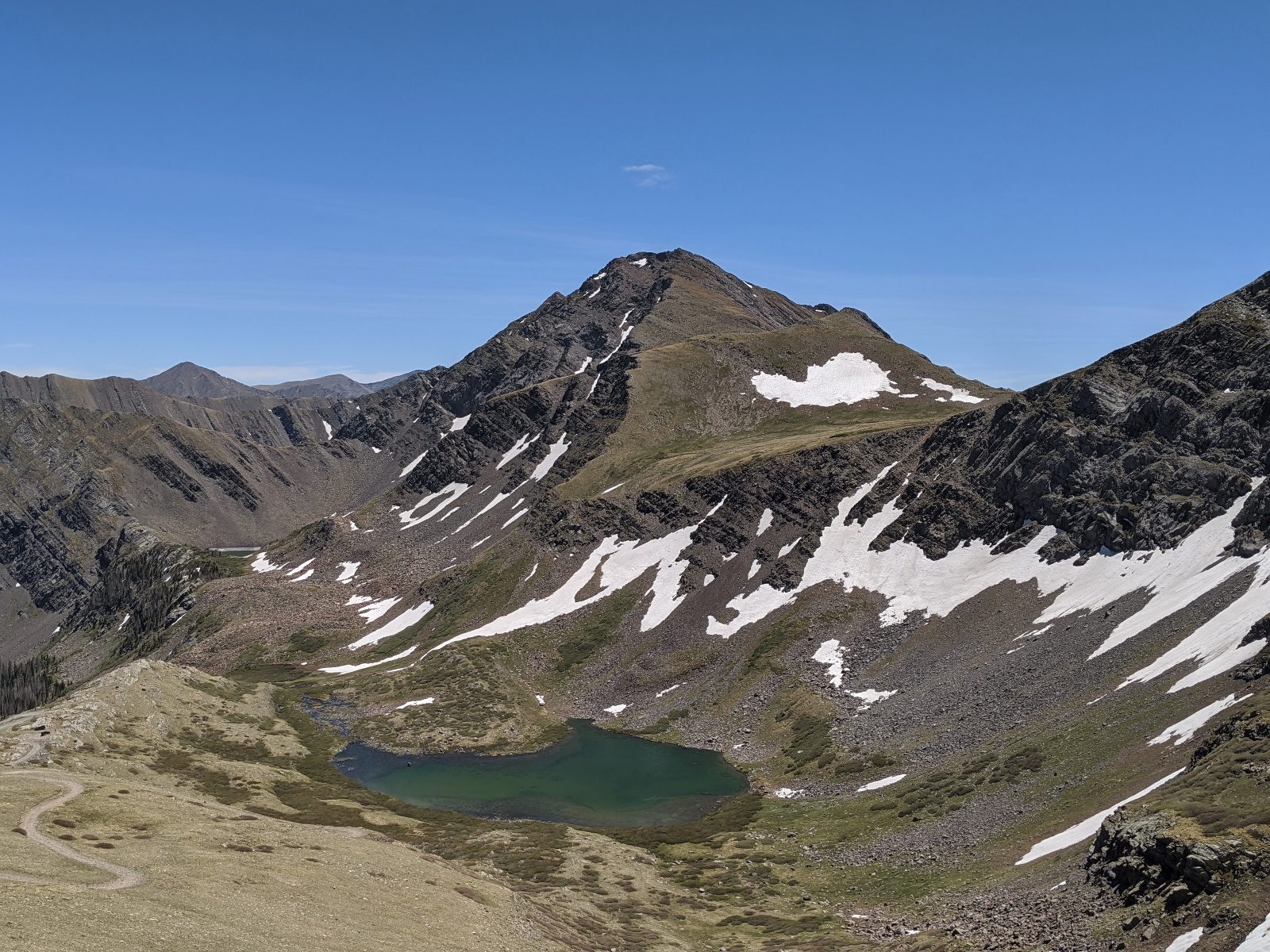
Hermit and Horseshoe Lake
![Rito alto 09]()
![Rito alto 10]()
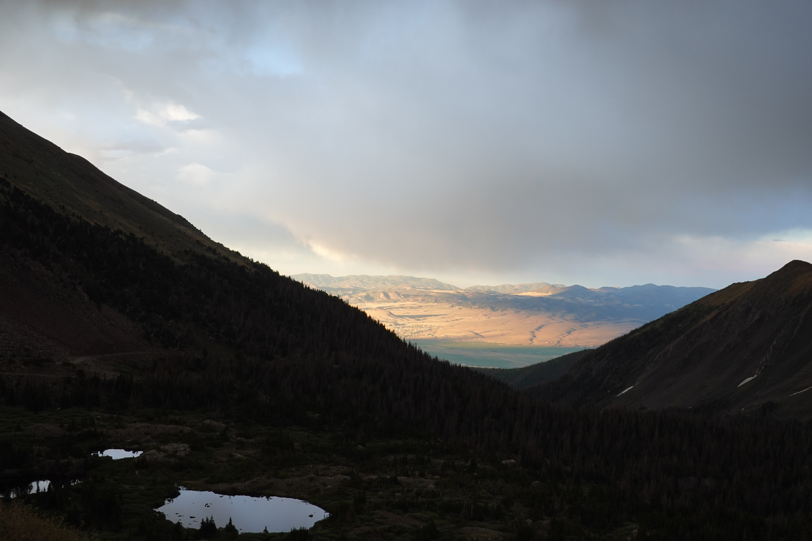
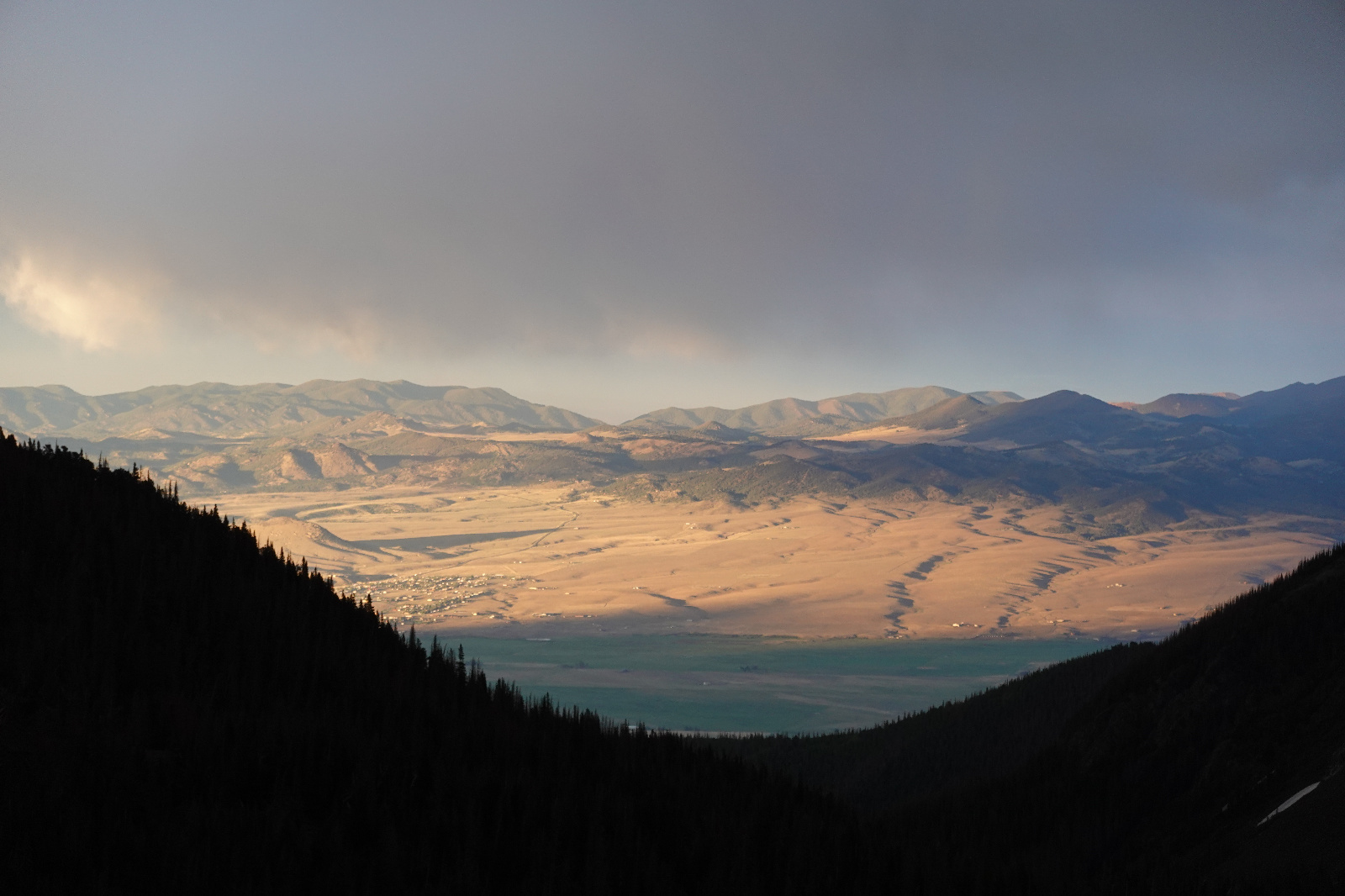
Sunset on Westcliffe
![Rito alto 11]()
Sunset on Westcliffe
![Rito alto 12]()
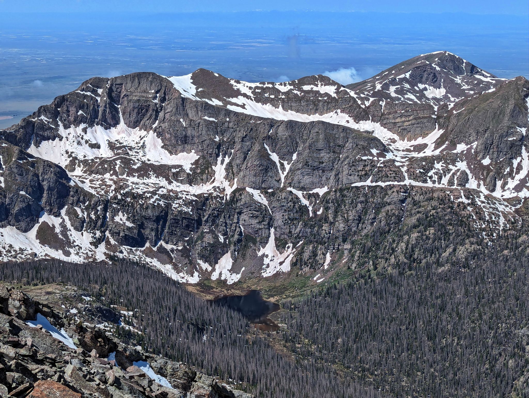
Eureka: I climbed up through the cliff bands in the weakness to the left of the snow field
![Rito alto 13]()
Looking back to camp and Horseshoe Lake from Eureka's NE flank
![Rito alto 14]()
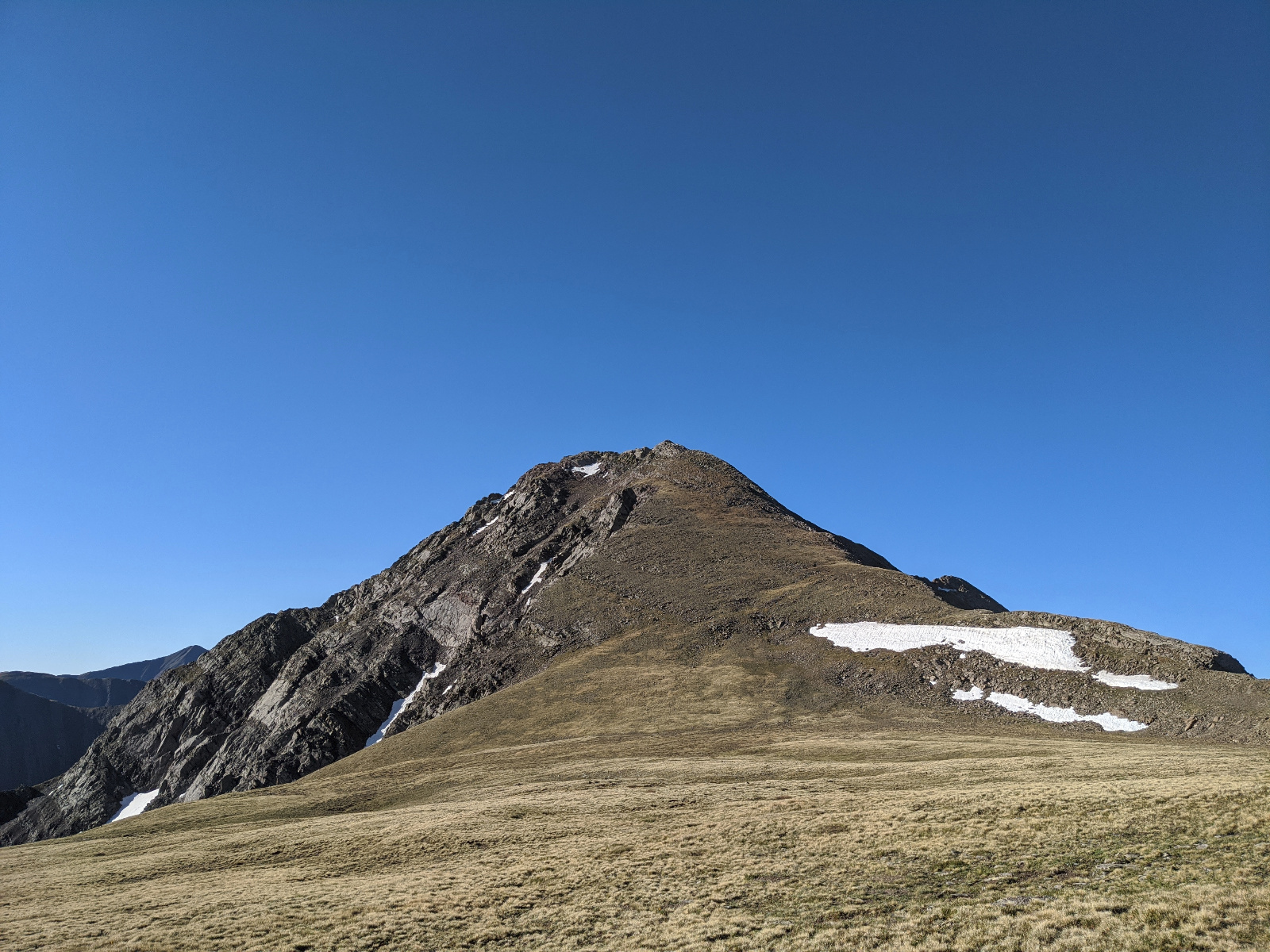
Looking South to Eureka's summit
![Rito alto 15]()
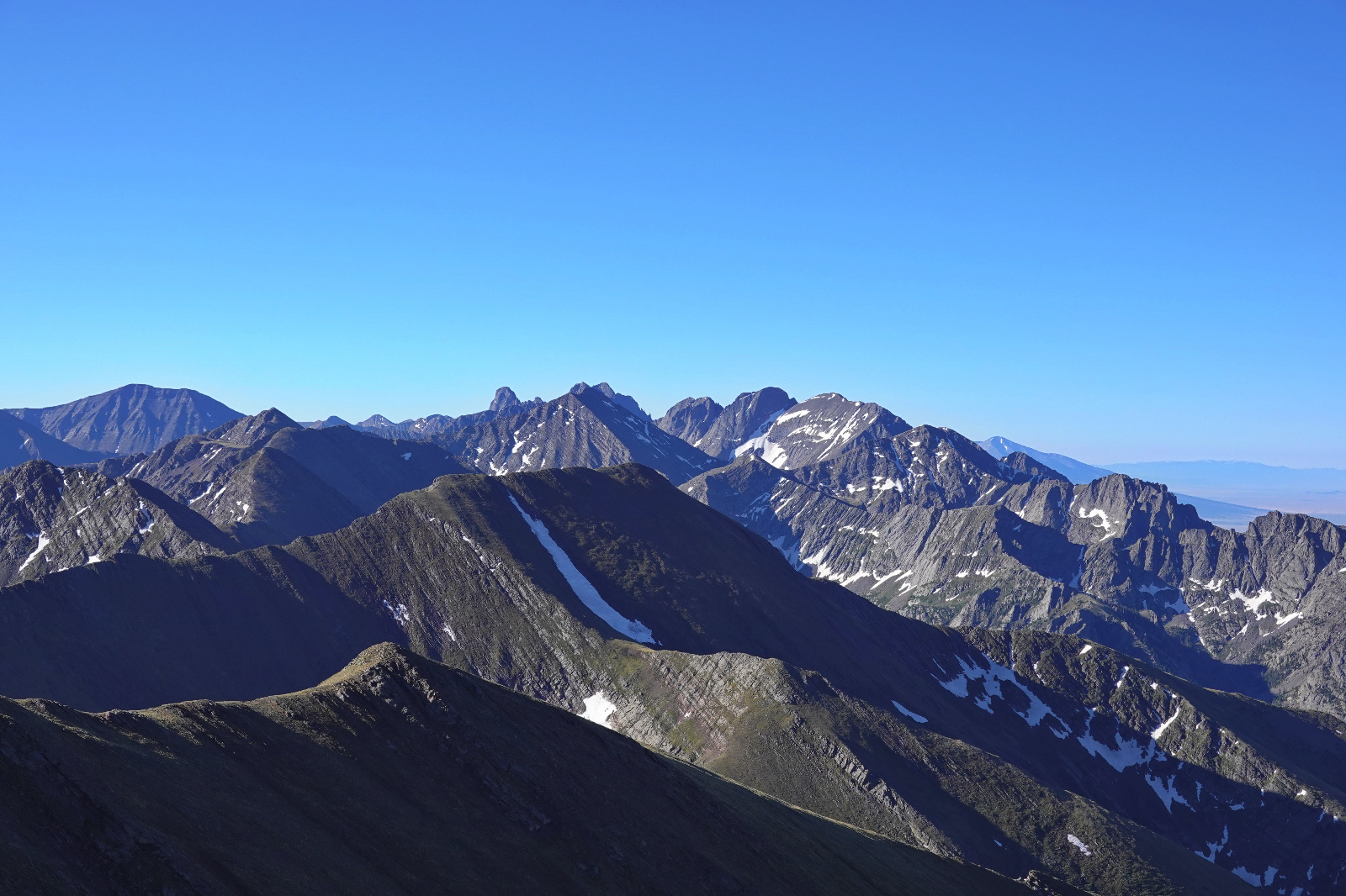
Kit Carson and the Crestones from Eureka
![Rito alto 16]()
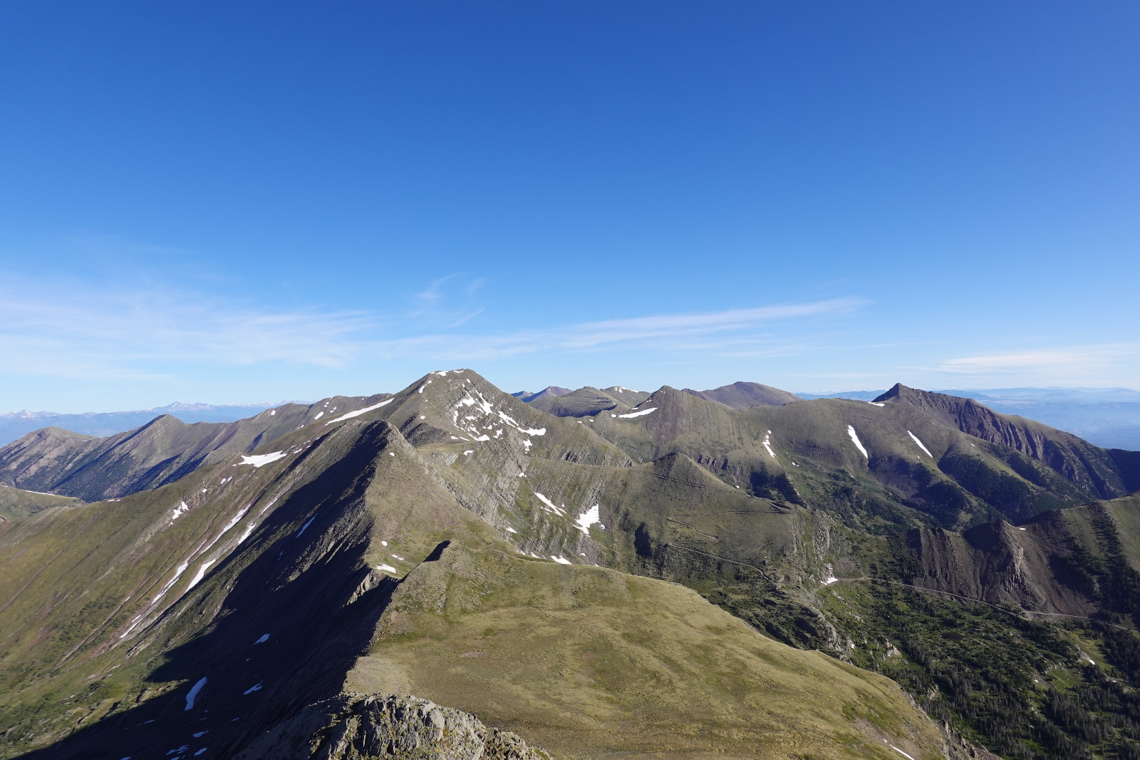
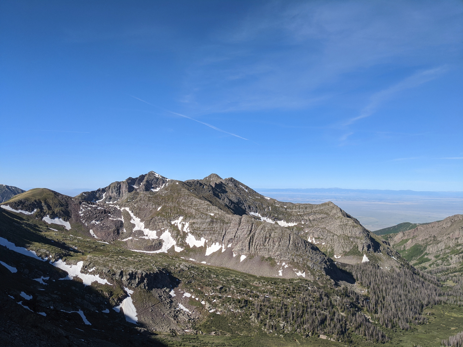
Looking North to Yahoo, Hermit, Rito Alto, Peak of the Clouds and Spread Eagle(far right)
![Rito alto 17]()
Looking East from the Eureka - Hermit Saddle. I think this is Gibson
![Rito alto 17h]()
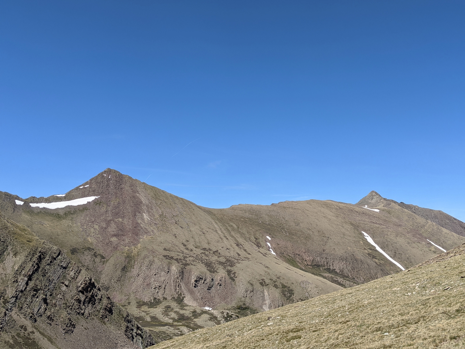
Looking back to the mighty Yahoo from the north. Eureka in the distance
![Rito alto 18]()
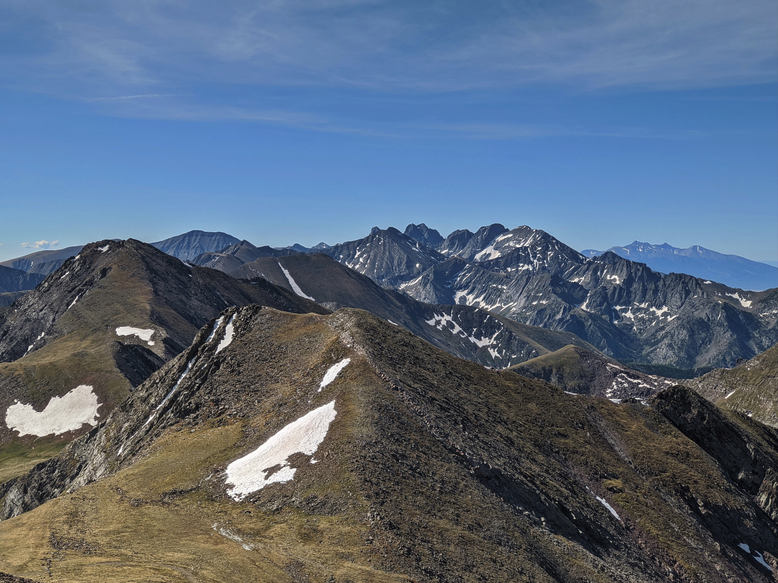
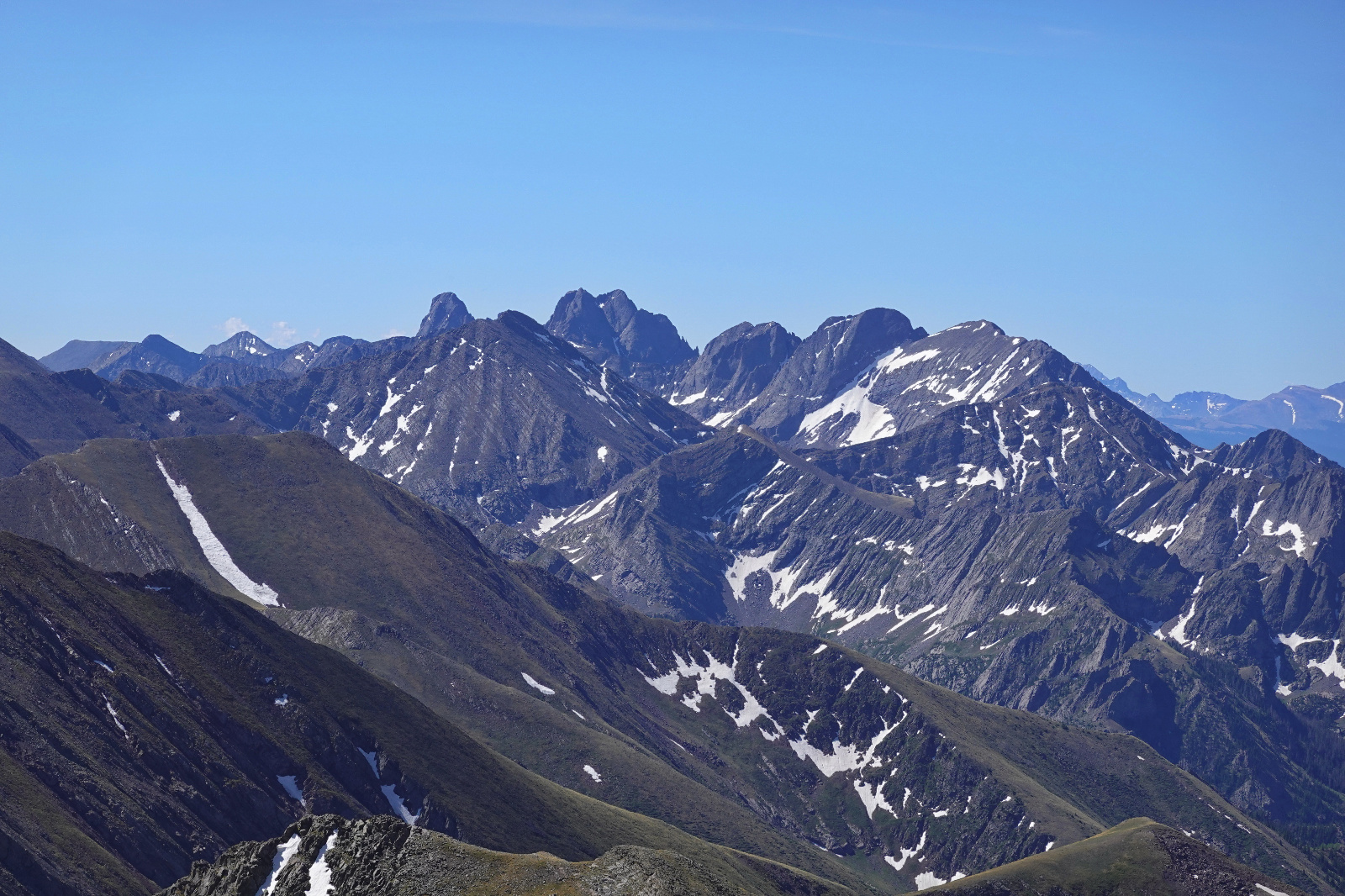
Looking South to the Crestone's and Blanca Group from Hermit
![Rito alto 19]()
Looking South to the Crestone's and Blanca Group from Hermit
![Rito alto 20]()
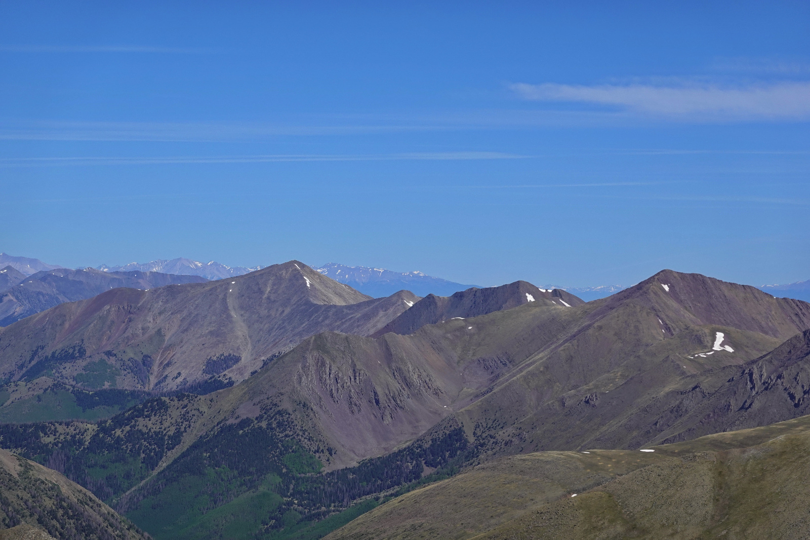
Looking North to the Electric to Cottonwood traverse I did two days earlier.
![Rito alto 21]()
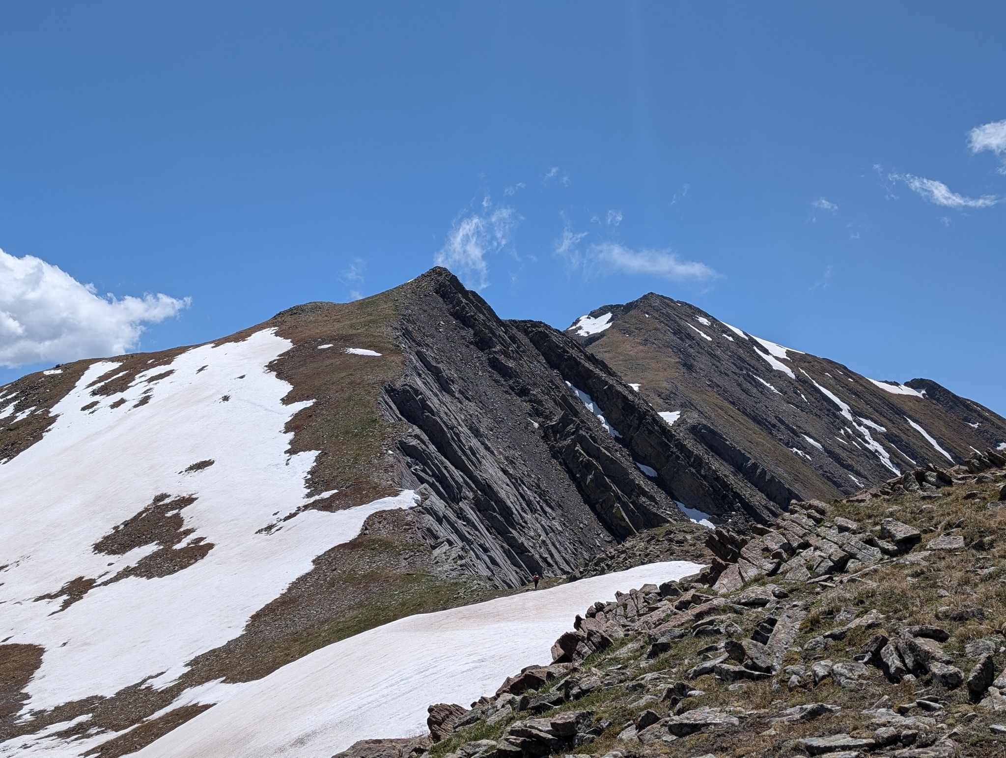
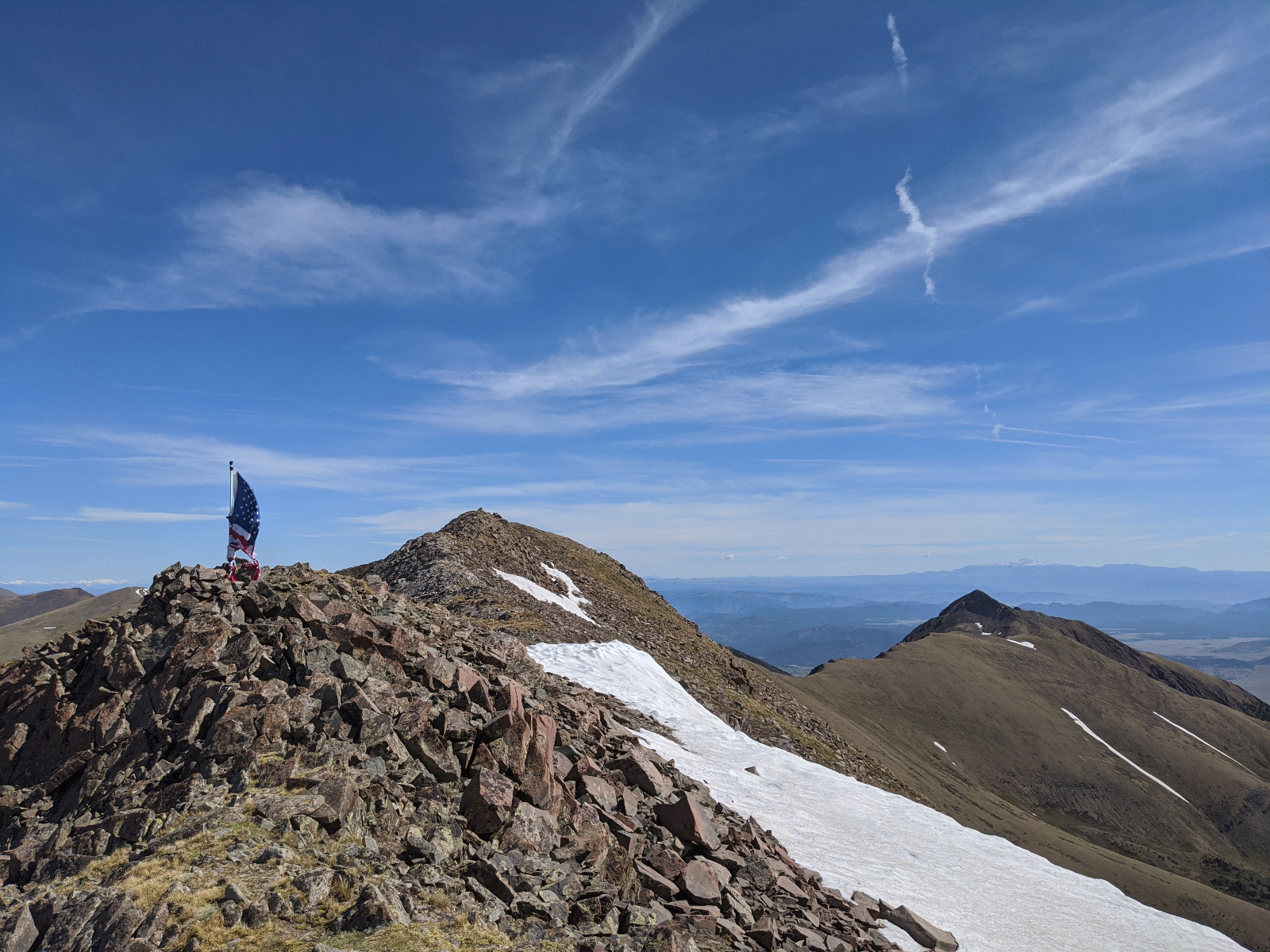
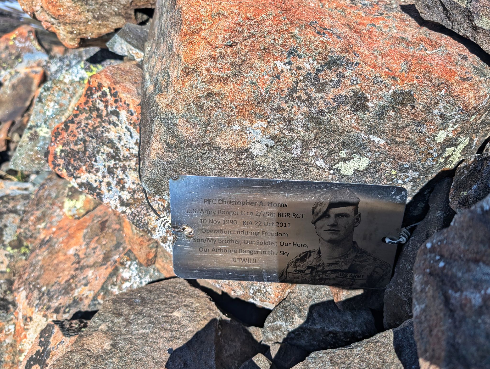
Approaching Rito Alto's summit. There was a flag and a plaque in remembrance of a fallen soldier. Spread Eagle on the right.
![Rito alto 21h]()
Thank you for your service and ultimate sacrifice PFC Christopher A. Horns
![Rito alto 21j]()
Western views
![Rito alto 21m]()
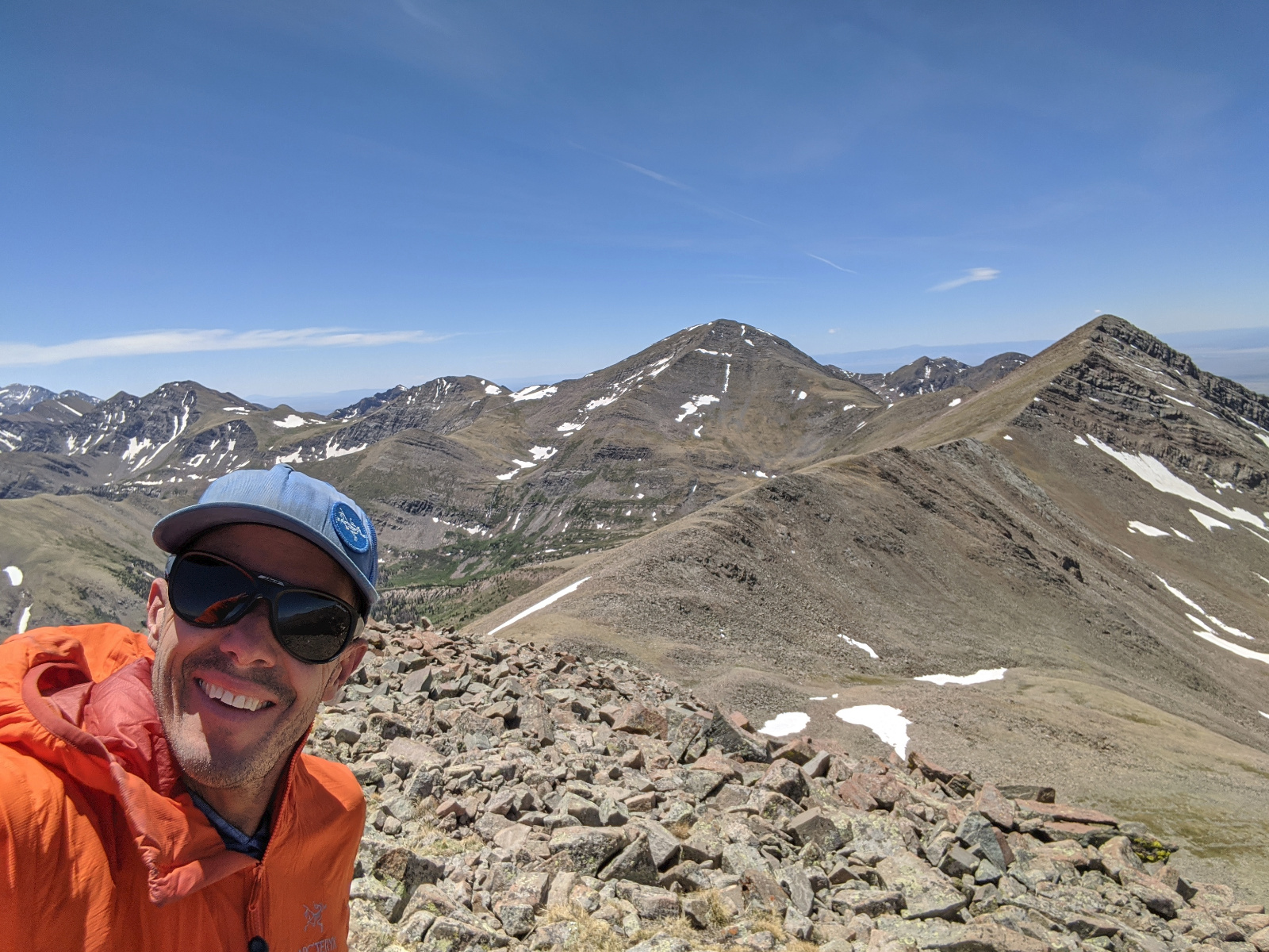
Rito Alto summit selfie
![Rito alto 22]()
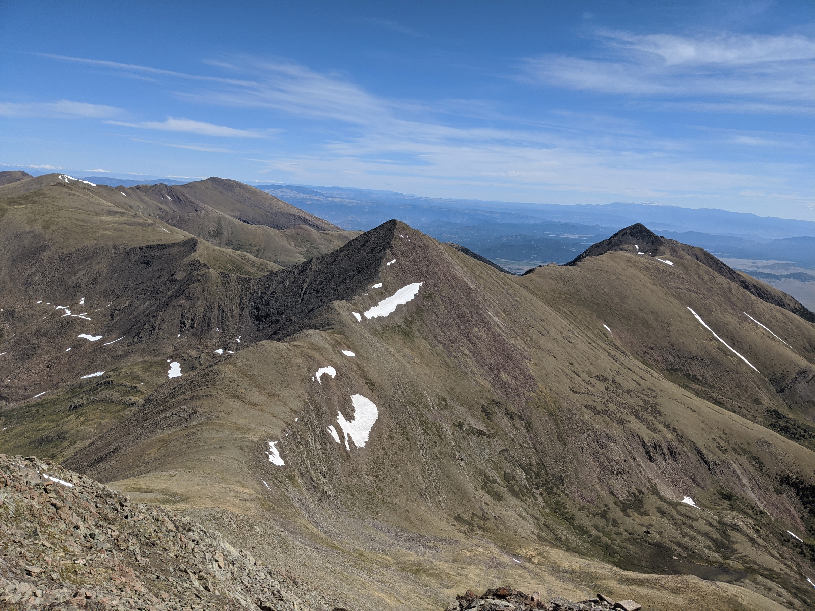
Peak of the Clouds and Spread Eagle from Rito Alto
![Rito alto 23]()
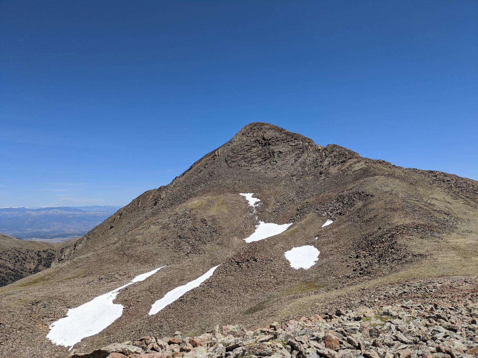
Spread Eagle Looks Scrambley and Fun!
![Rito alto 24]()
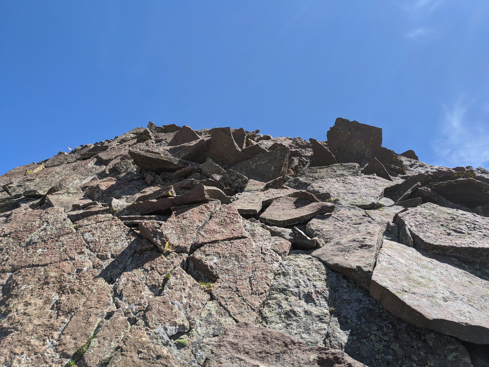
You could keep Spread Eagle to Class 2 or have some fun going up the ridge proper
![Rito alto 25]()
![Rito alto 26]()
Spread Eagle Selfie. R2L: Eureka, Hermit, Rito Alto, Peak of the Clouds
![Rito alto 27]()
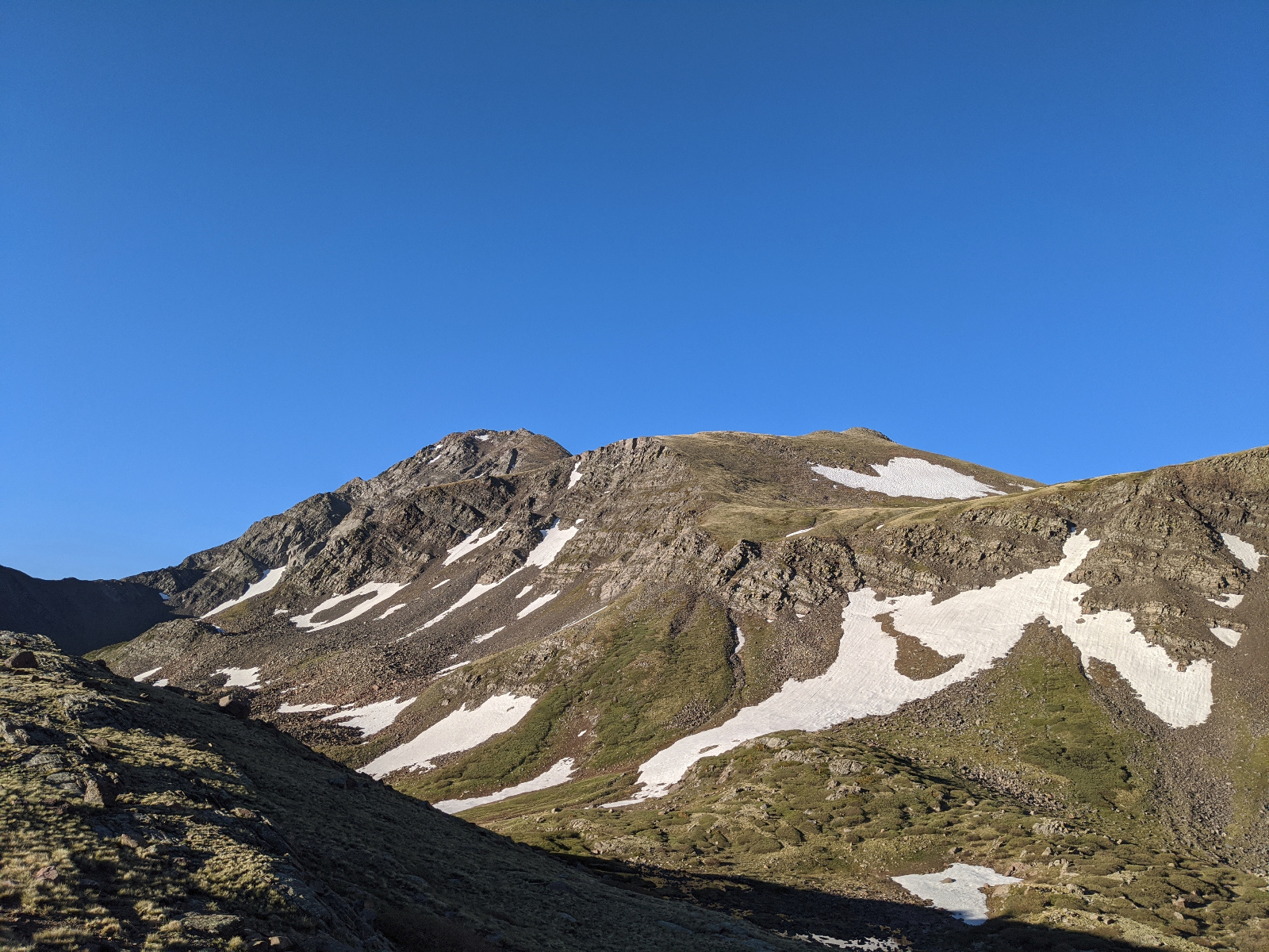
Instead of retracing my steps... I dropped into the basin to the south of Peak of the Clouds then climbed a pass up to Hermit Lake Road. I highly recommend this route.
![Rito alto 28]()
After climbing the pass I hiked a path beside the road back to the truck at Horseshoe Lake.