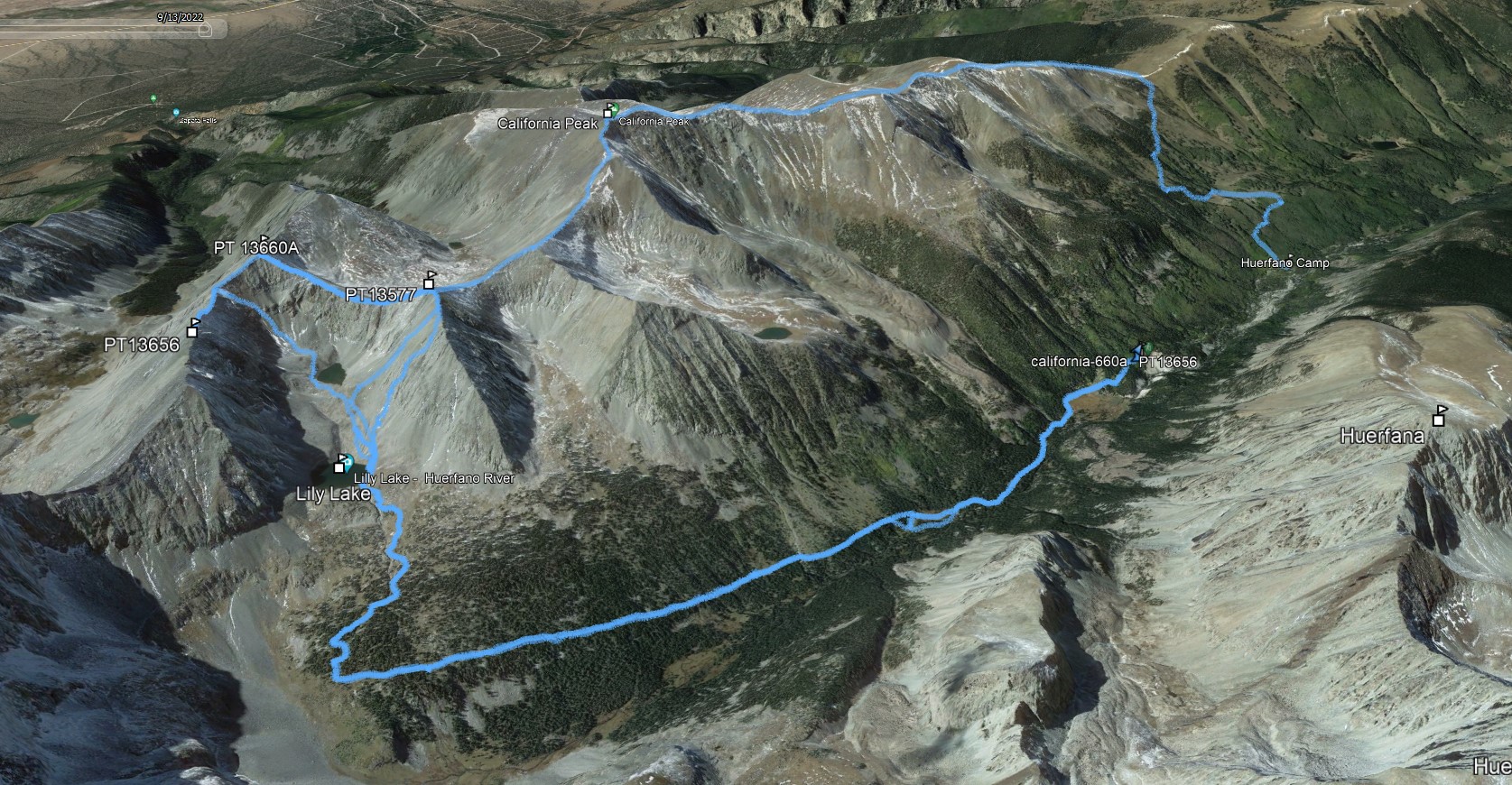
California & 13656
TH: Zapata Trail 1 Mile North of Lily Lake TH
Summits: California, PT13656, PT13654, PT13577
Miles: 11.80
Vertical: 4715
Time: 6 Hours
Partners: Kristi Henes, Robby Grace, Solo
GPX
The first time I climbed these peaks was pre-LiDAR and we did the route over California. In 2022 I re-climbed PT13654 via Lily Lake and continued to PT13656. This gallery contains pictures from each outting. The stats are from the first hike. The GPX file contains tracks from both outings.
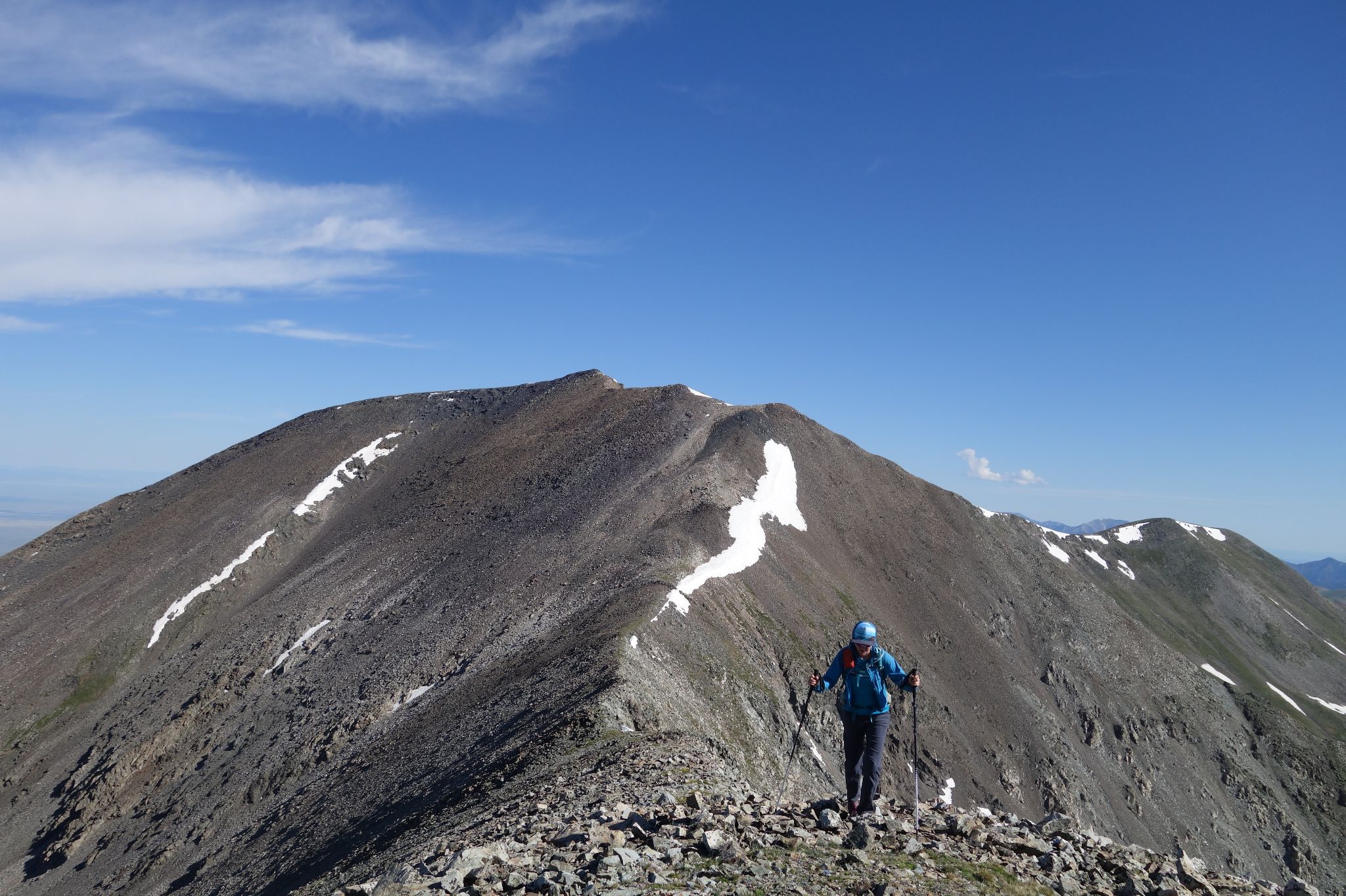
A gentle hike to the summit of California. Class 2 ridge running until the east ridge of 13654 where it picks up to class 2+ / easy 3. The ridge to PT13656 continues at 2+ / easy 3
Amazing views!
California 14ers.com Page
PT13656 14ers.com Page
PT13654 14ers.com Page
PT13577 14ers.com Page
![California PT13656 01]()
11.80m - 4715ft - 6hrs
![California PT13656 02]()
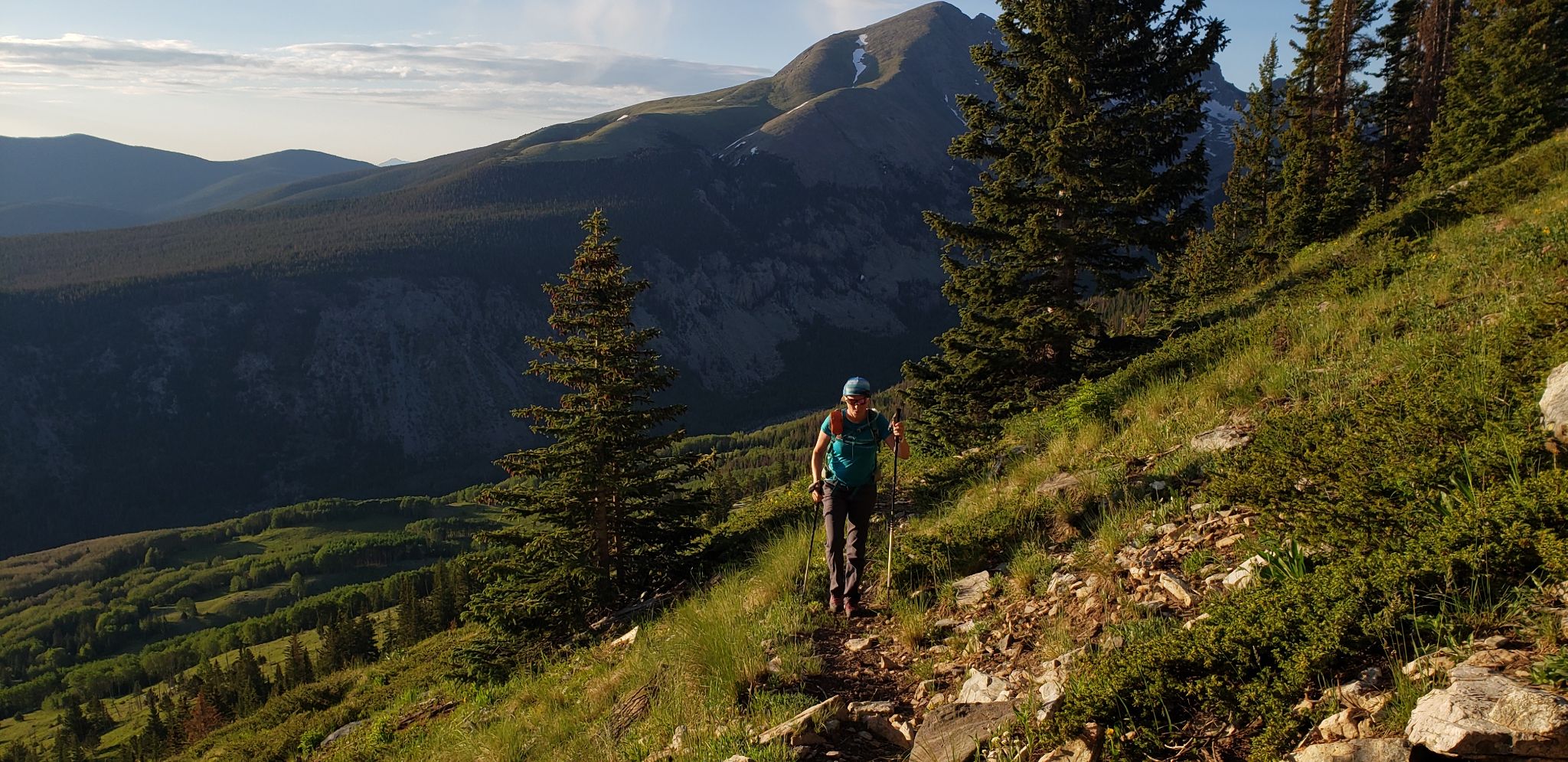
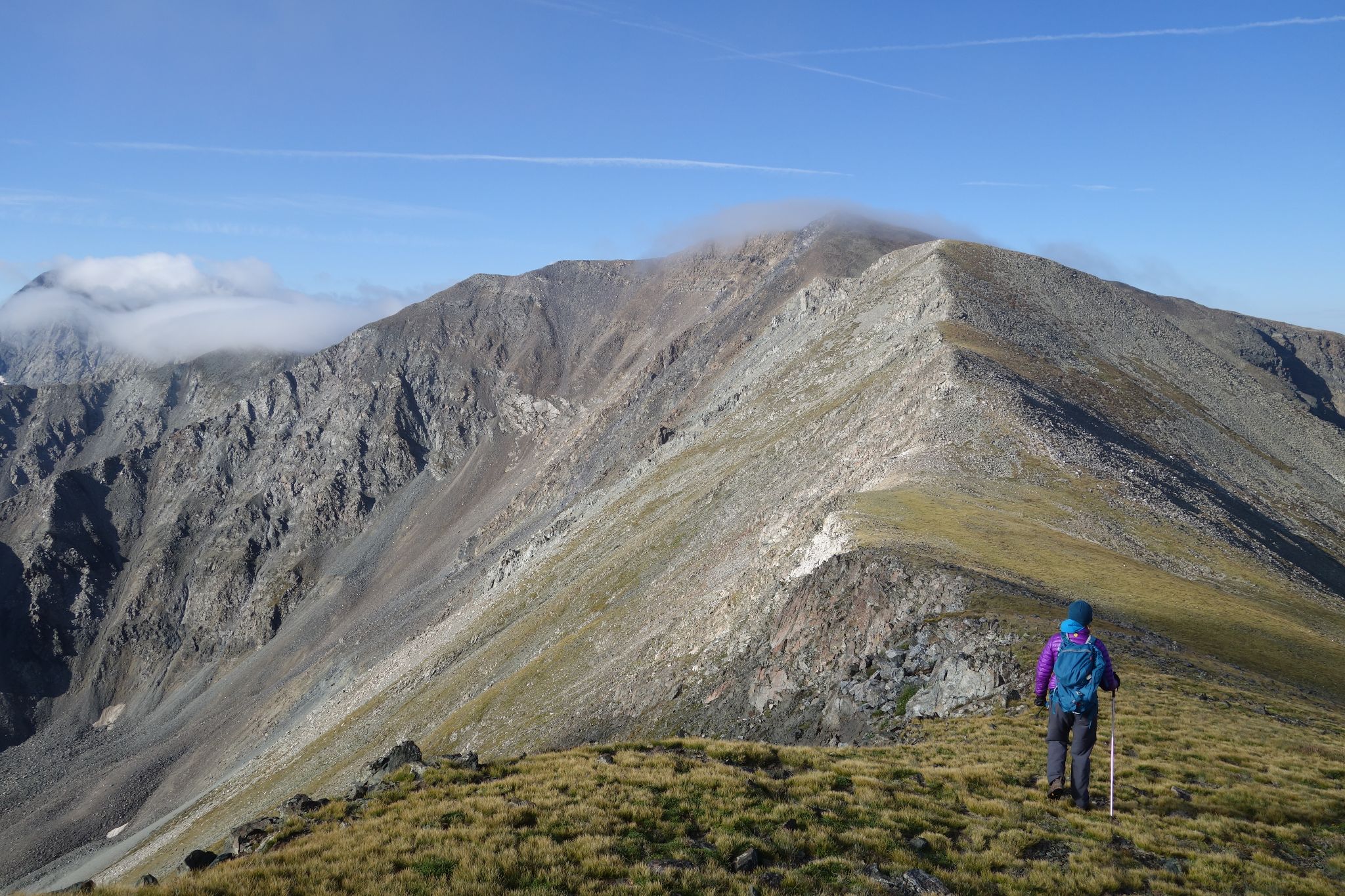
Kristi approaching the north saddle of California Peak
![California PT13656 03]()
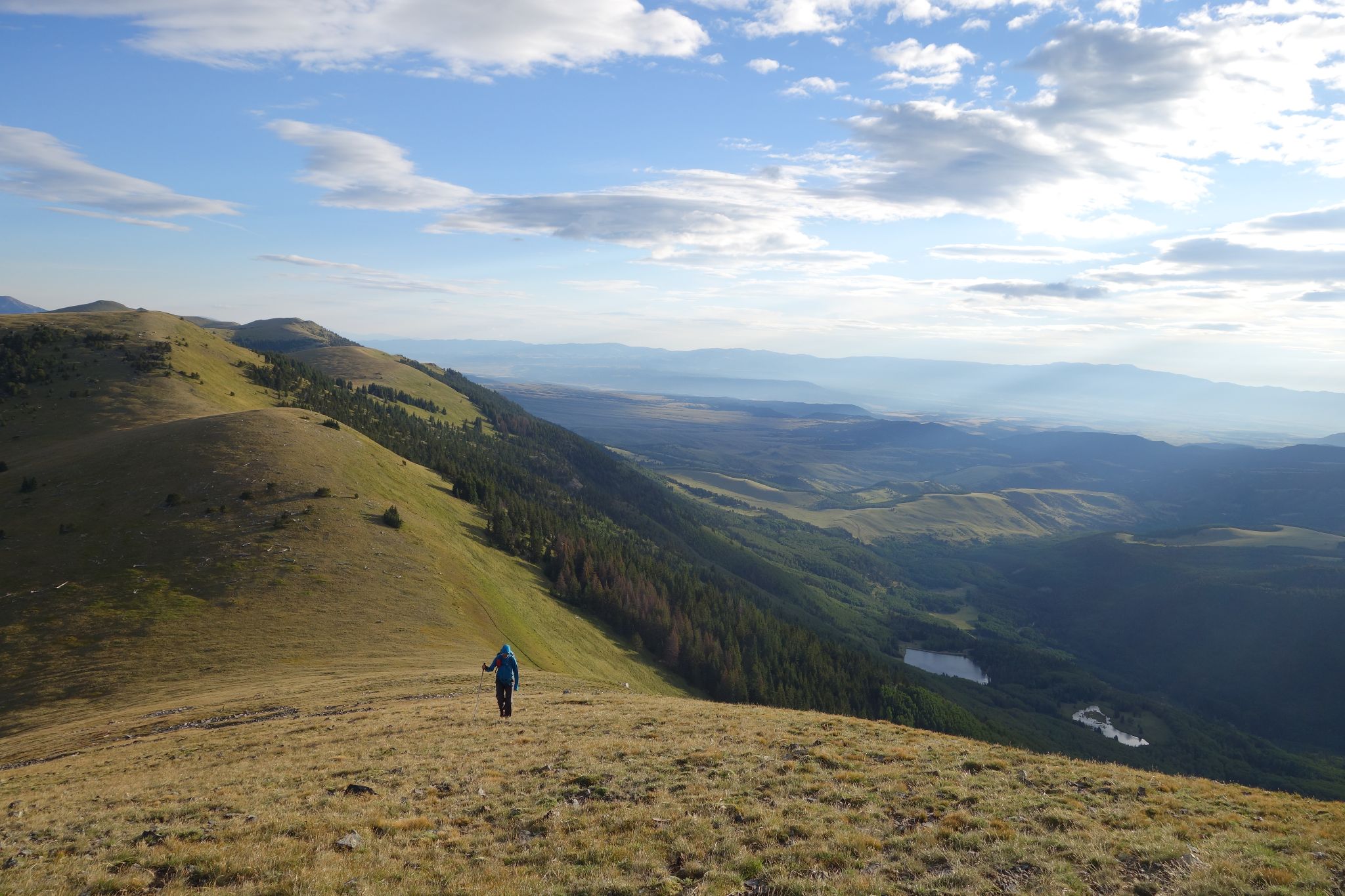
Kristi on California's north ridge
![California PT13656 04]()
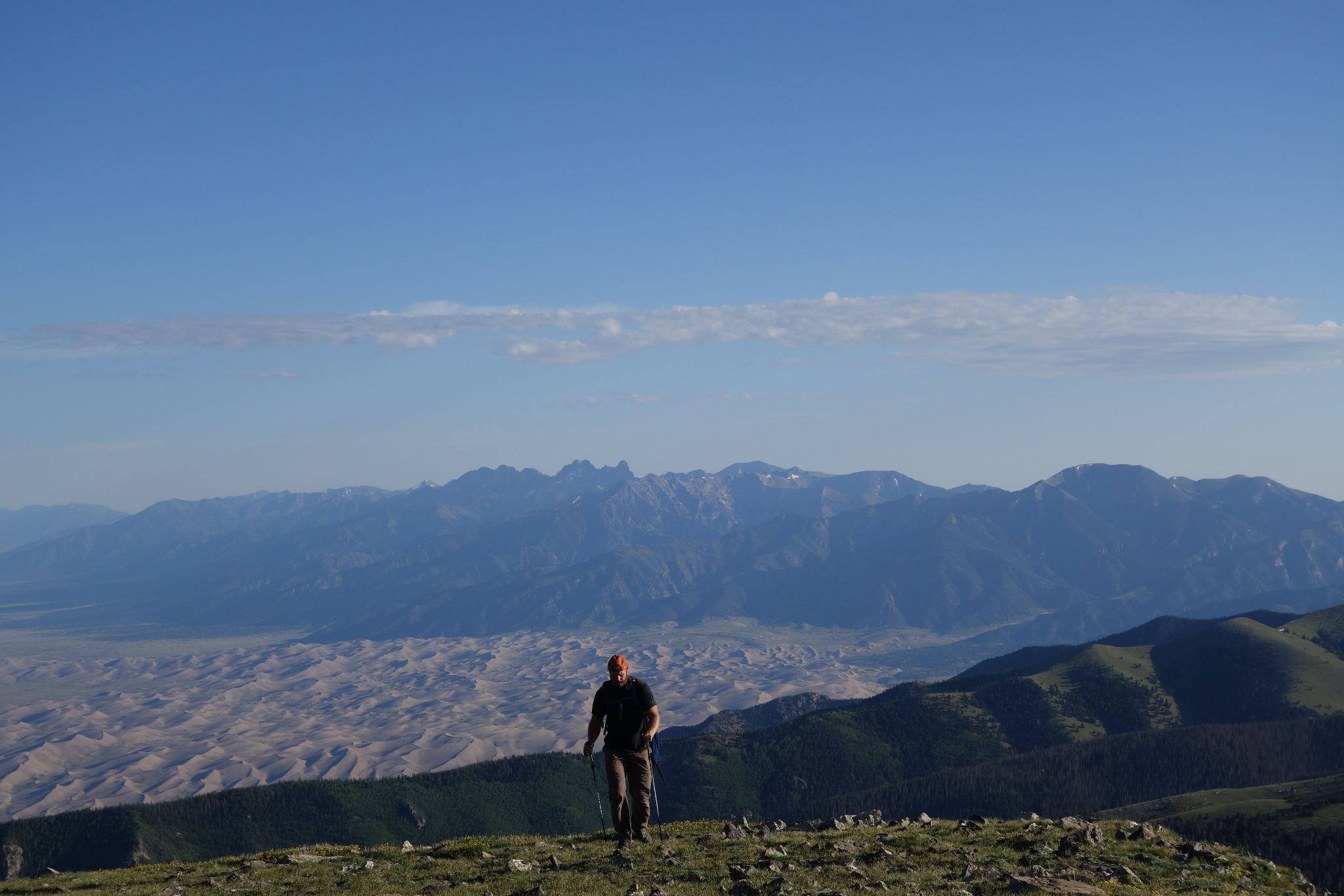
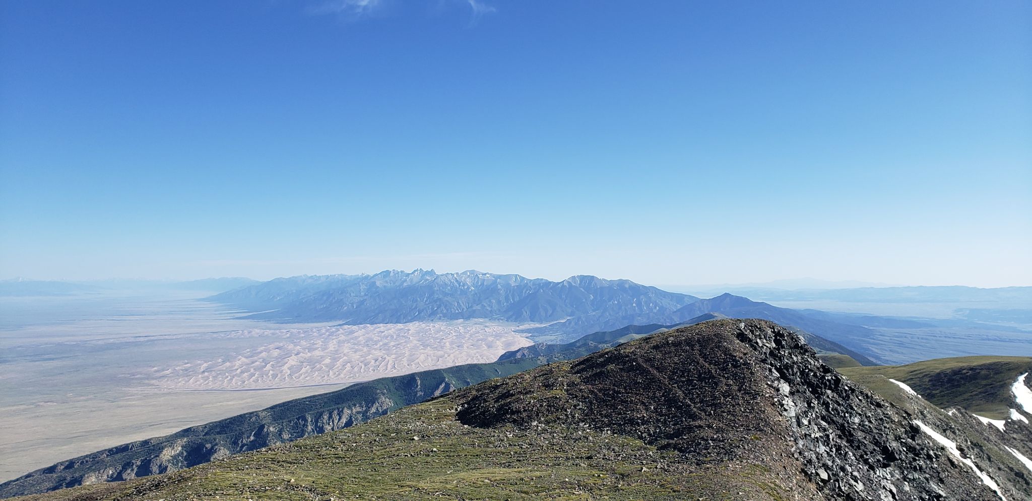
Robby with the Sand Dunes and Crestone Group
![California PT13656 05]()
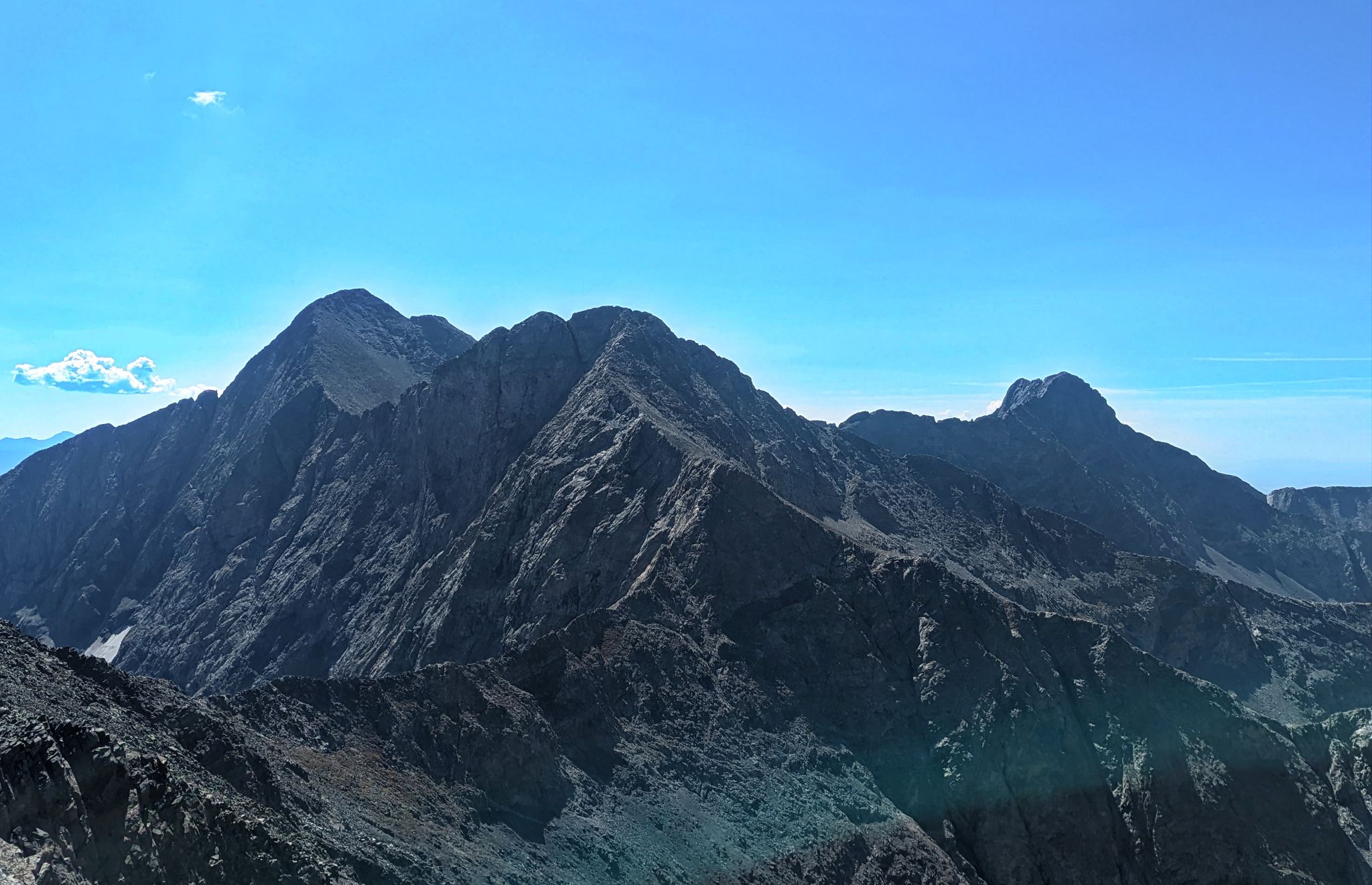
Lindsey, Iron Nipple, Huerfano and Lost Lake
![California PT13656 06]()
Looking up California's north ridge
![California PT13656 07]()
![California PT13656 08]()
Robby on Cali's north ridge. Blanca on the left
![California PT13656 09]()
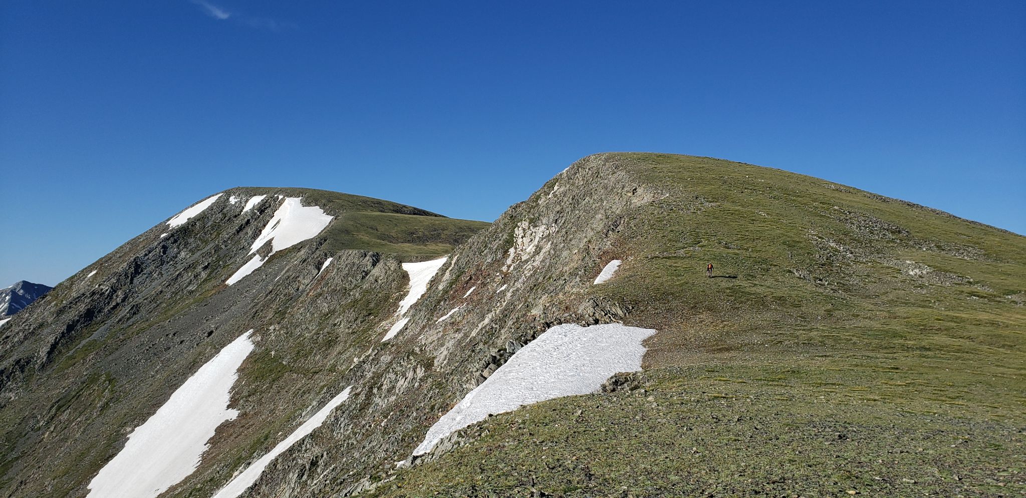
Cali's north ridge seemed to go on forever
![California PT13656 10]()
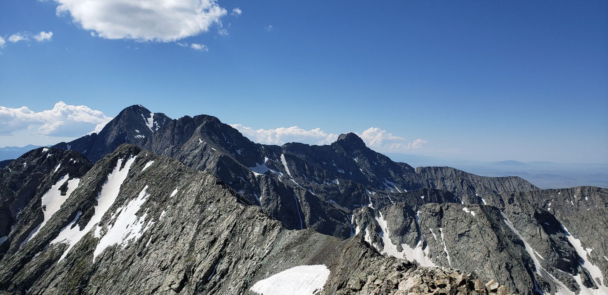
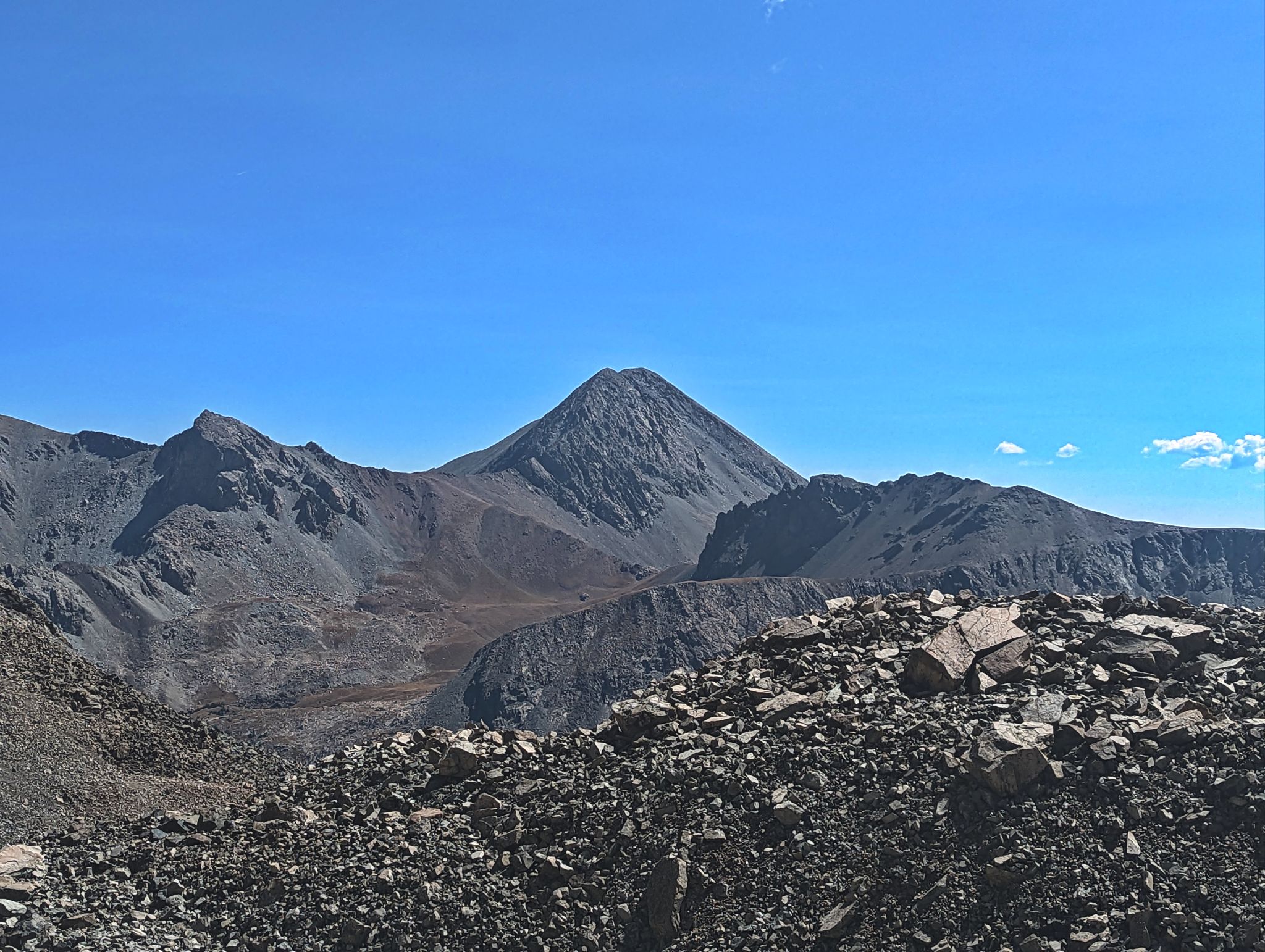
Ridges, Ridges, Ridges. Looking to the Blanca Group and the route ahead from Cali's summit
![California PT13656 11]()
Robby taking in the views from the summit of PT13577
![California PT13656 12]()
![California PT13656 13]()
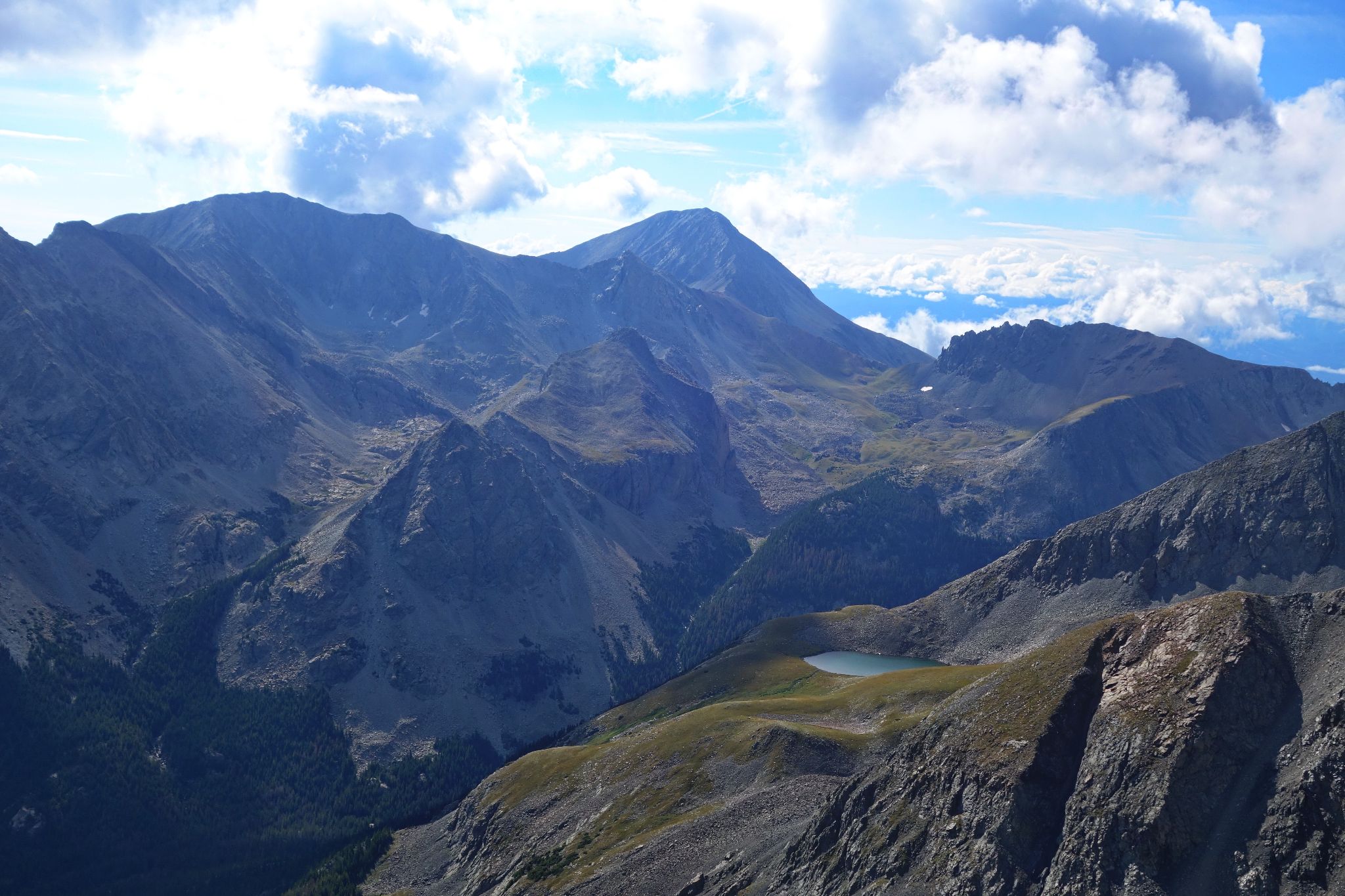
Looking across to PT13656 from PT13577
![California PT13656 14]()
Kristi with Cali behind
![California PT13656 15]()
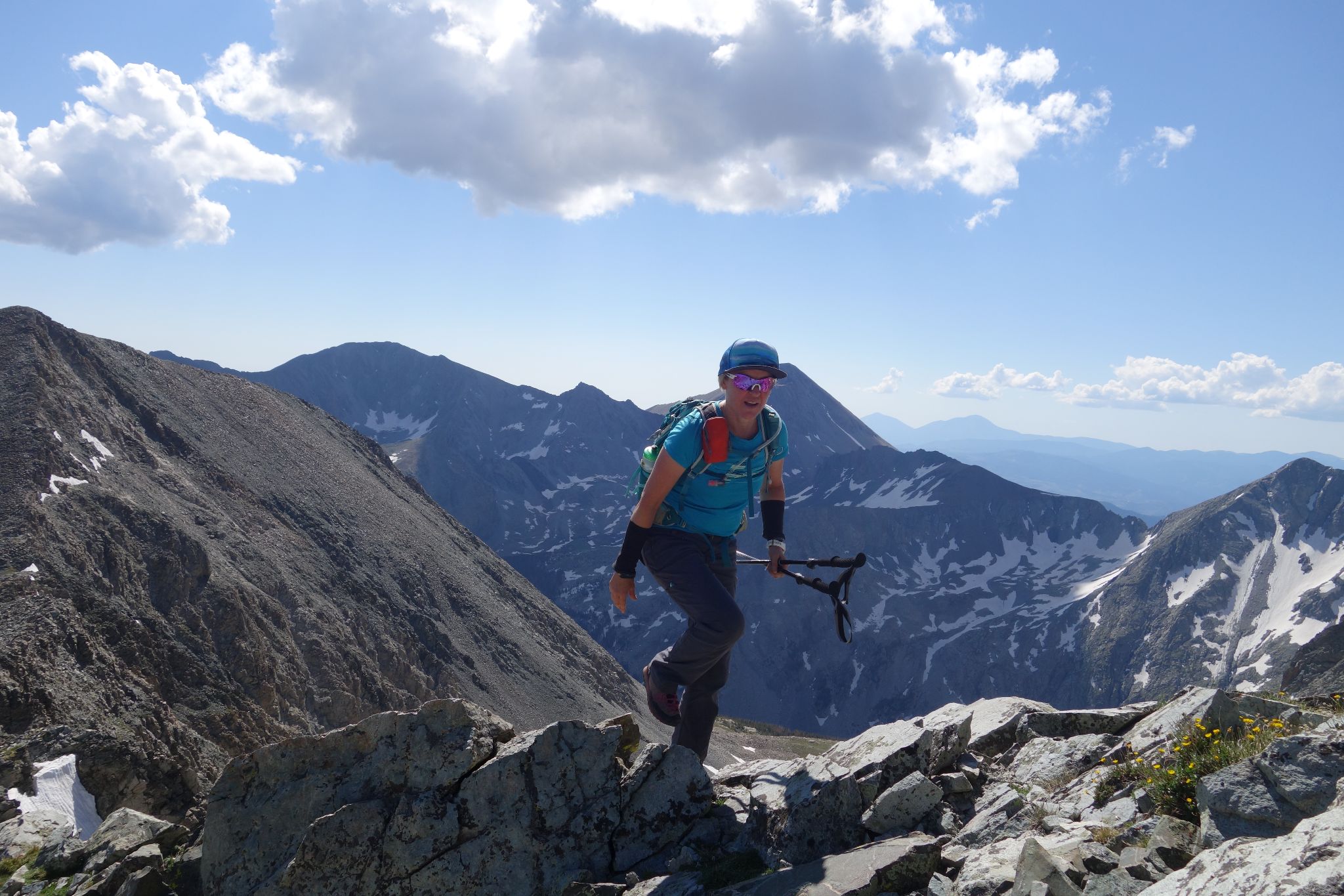
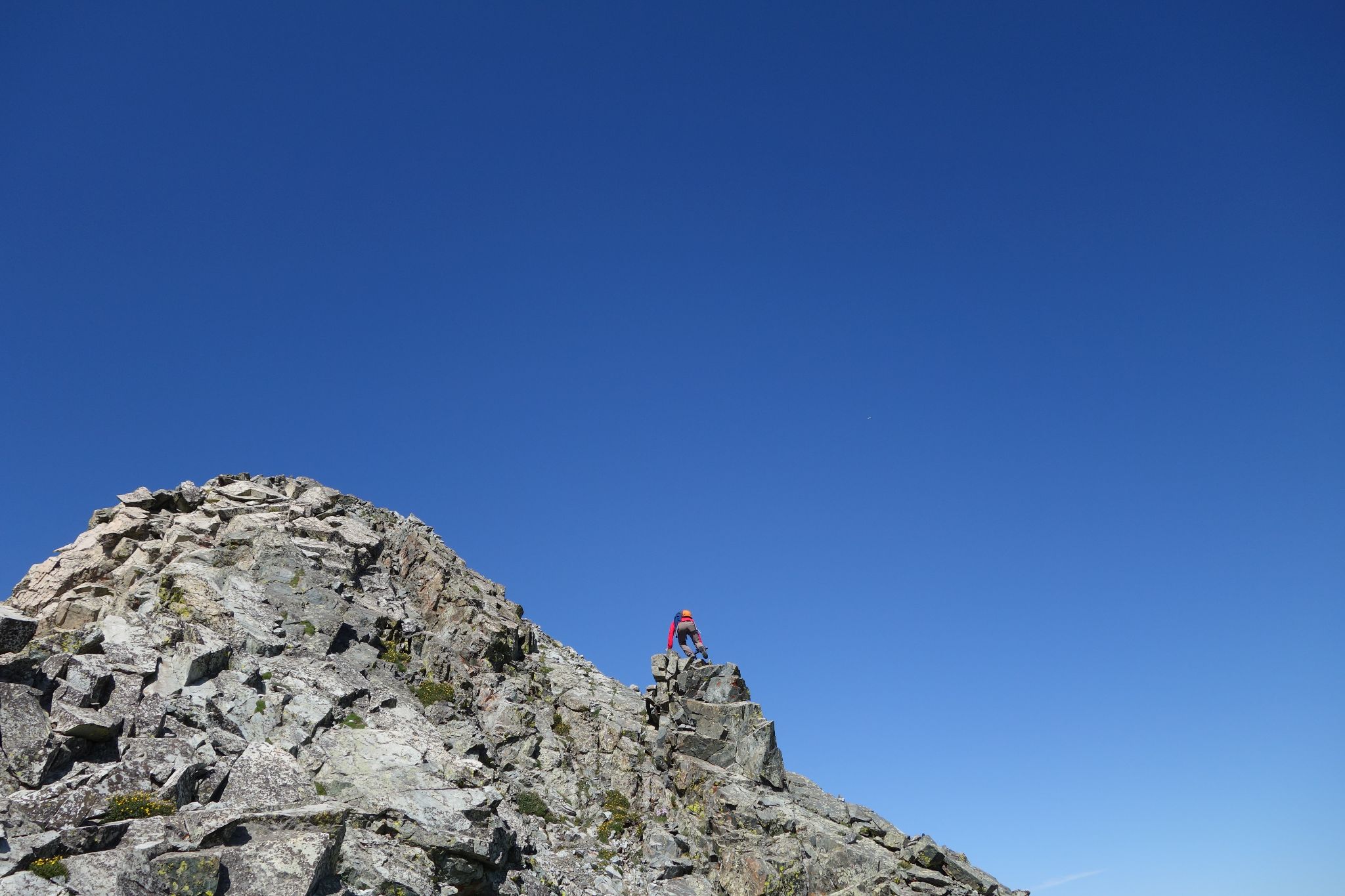
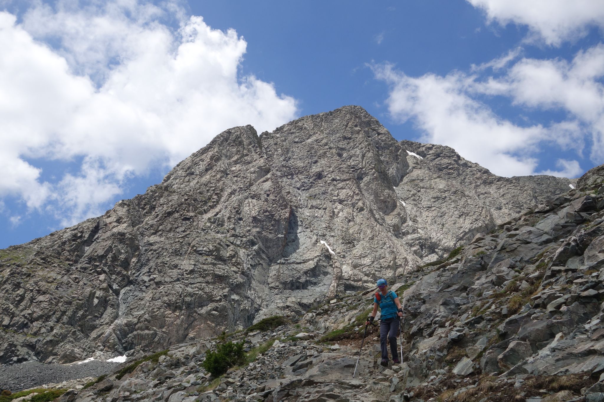
Kristi getting started on 13654's fun east ridge
![California PT13656 16]()
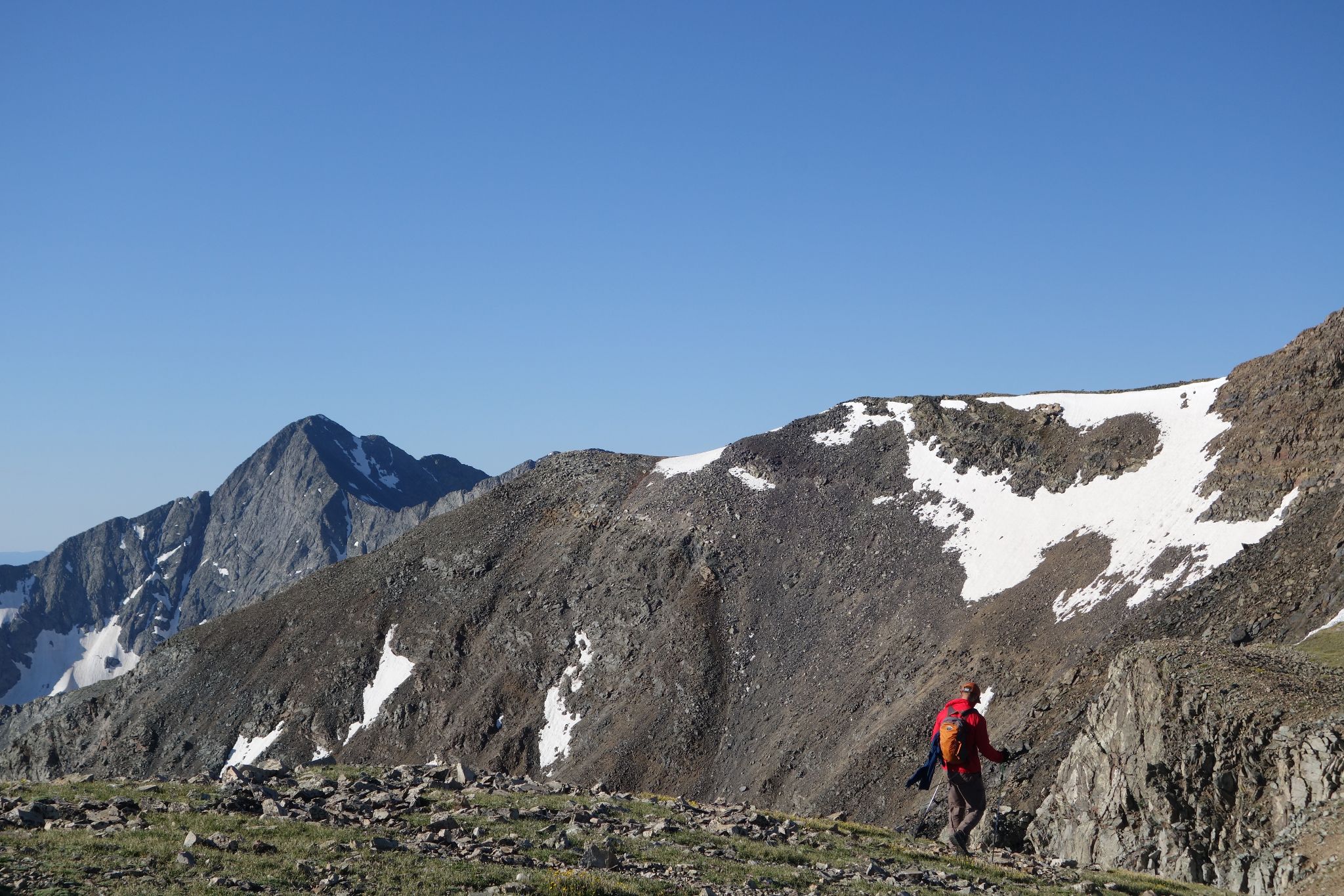
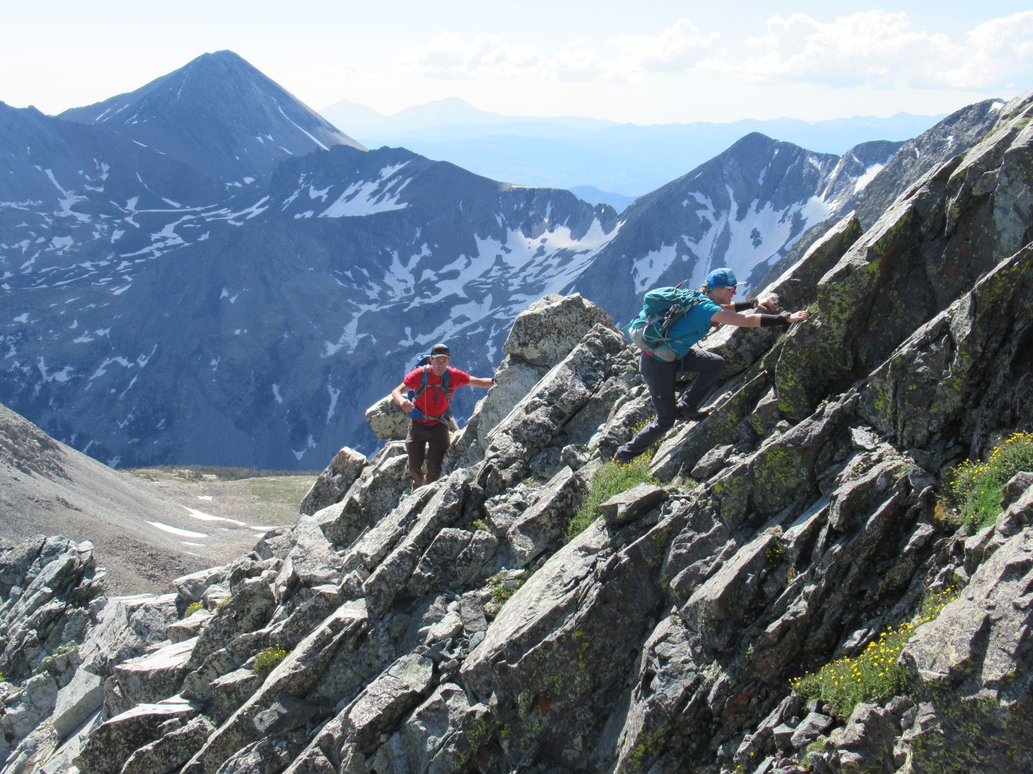
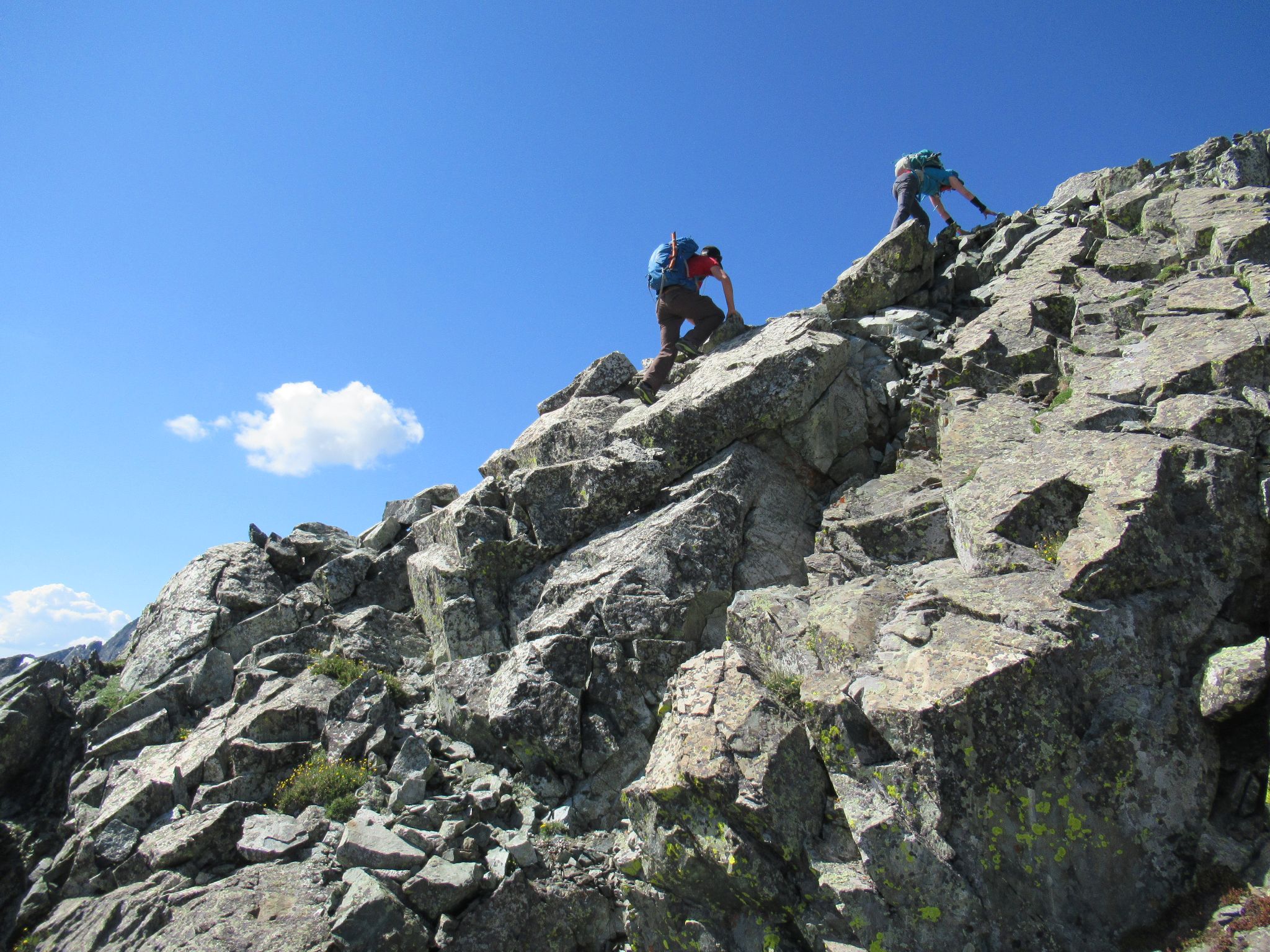
Alex and Kristi scrambling on 13654's east ridge
![California PT13656 17]()
Class 2+ or easy 3
![California PT13656 18]()
Robby making it sporty
![California PT13656 19]()
![California PT13656 20]()
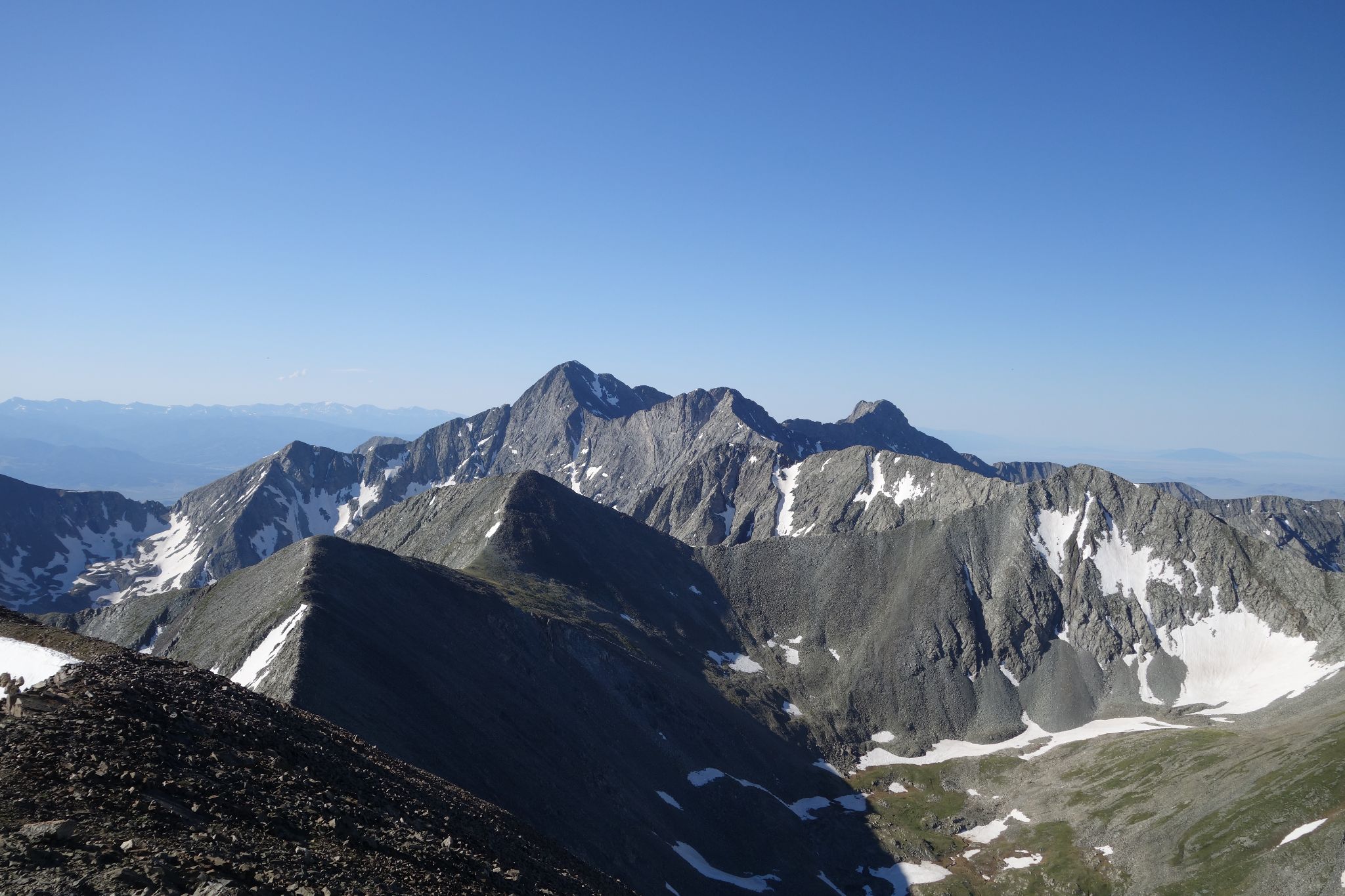
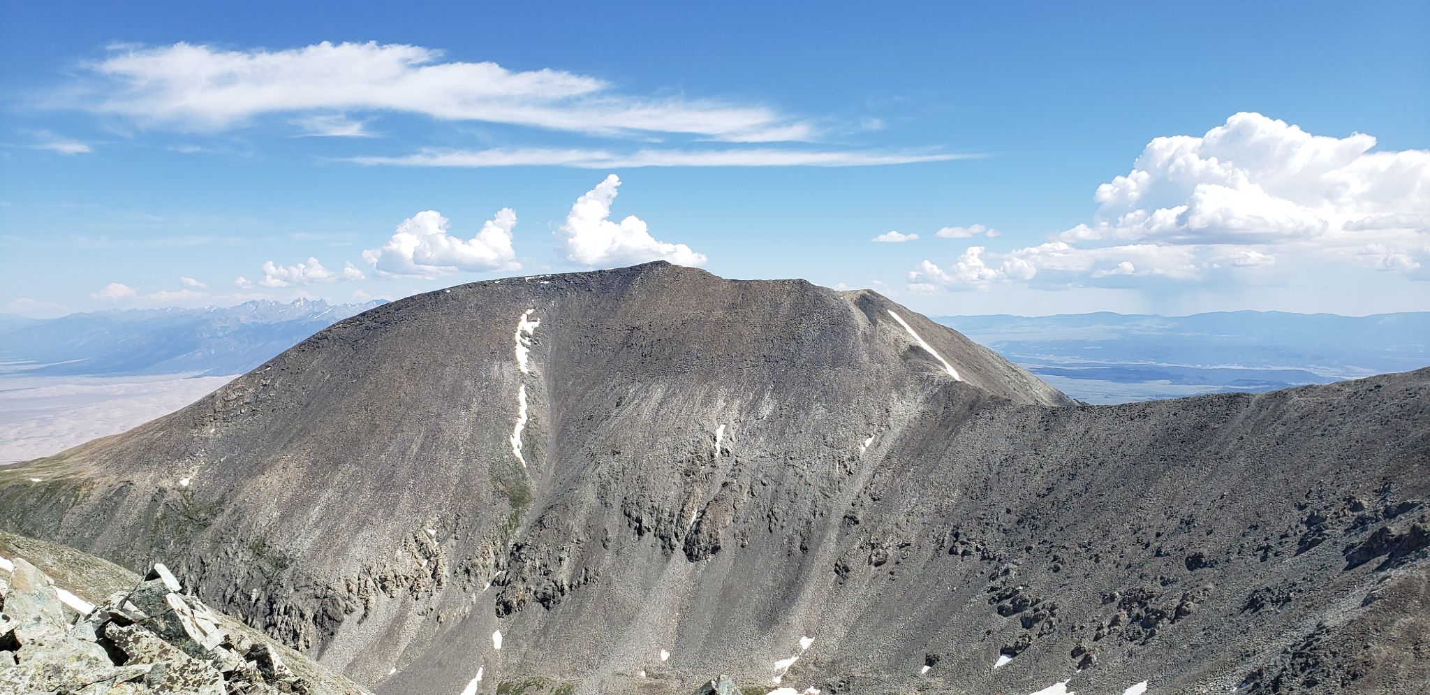
California from 13654
![California PT13656 21]()
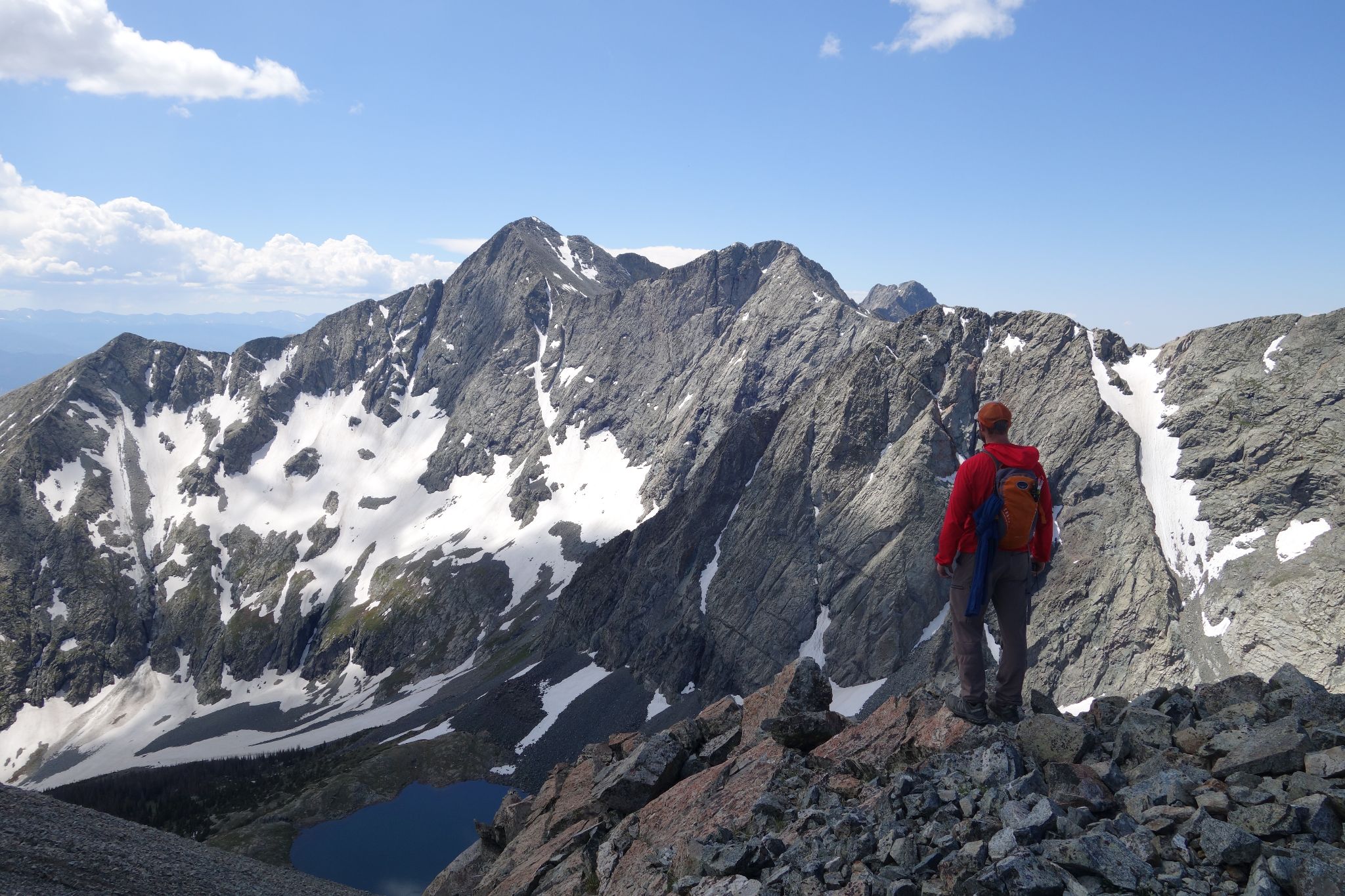
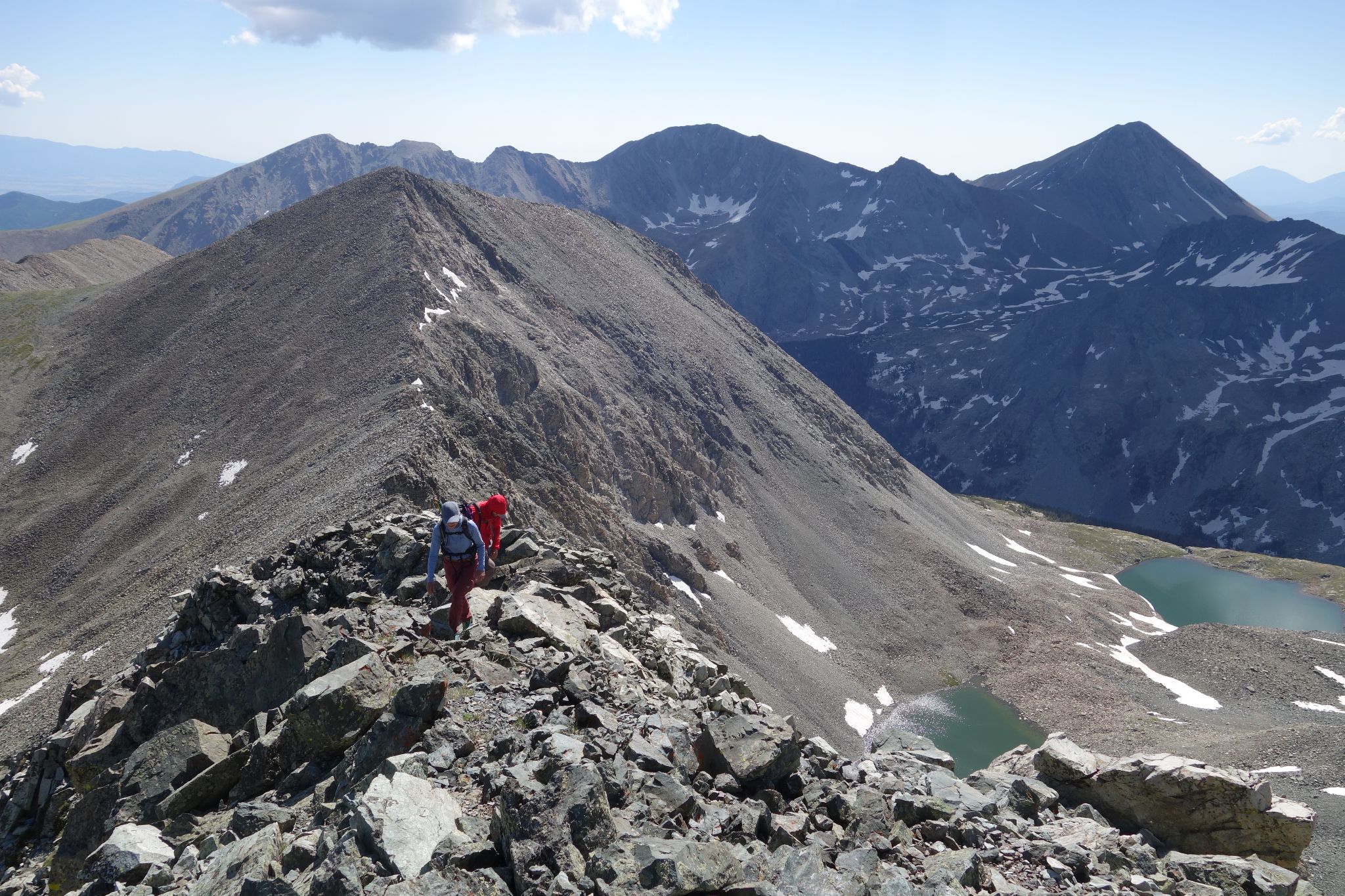
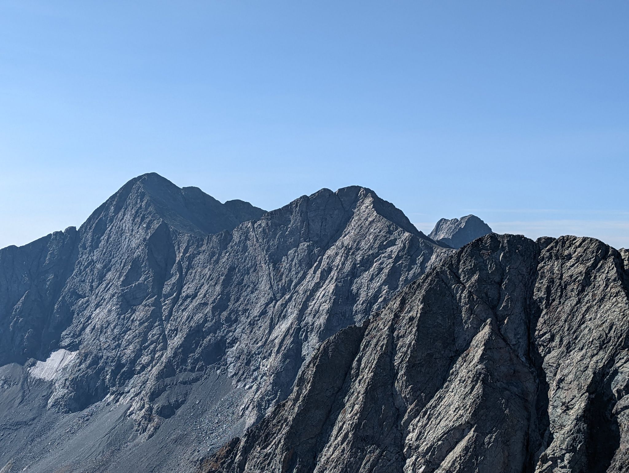
Ridge to PT13656 and Blanca Group from the summit of 13654. Might be fun to do a traverse from Ellingwood Pt to California one of these times.
![California PT13656 22]()
![California PT13656 23]()
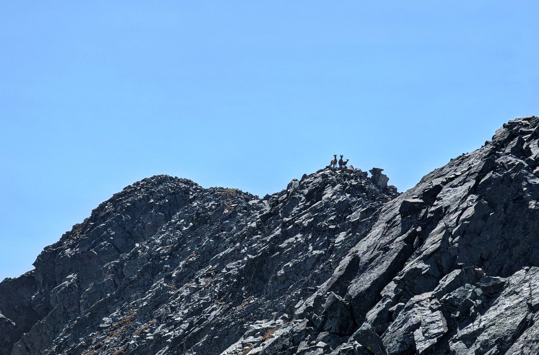
Goats on the ridge to PT13656
![California PT13656 24]()
![California PT13656 25]()
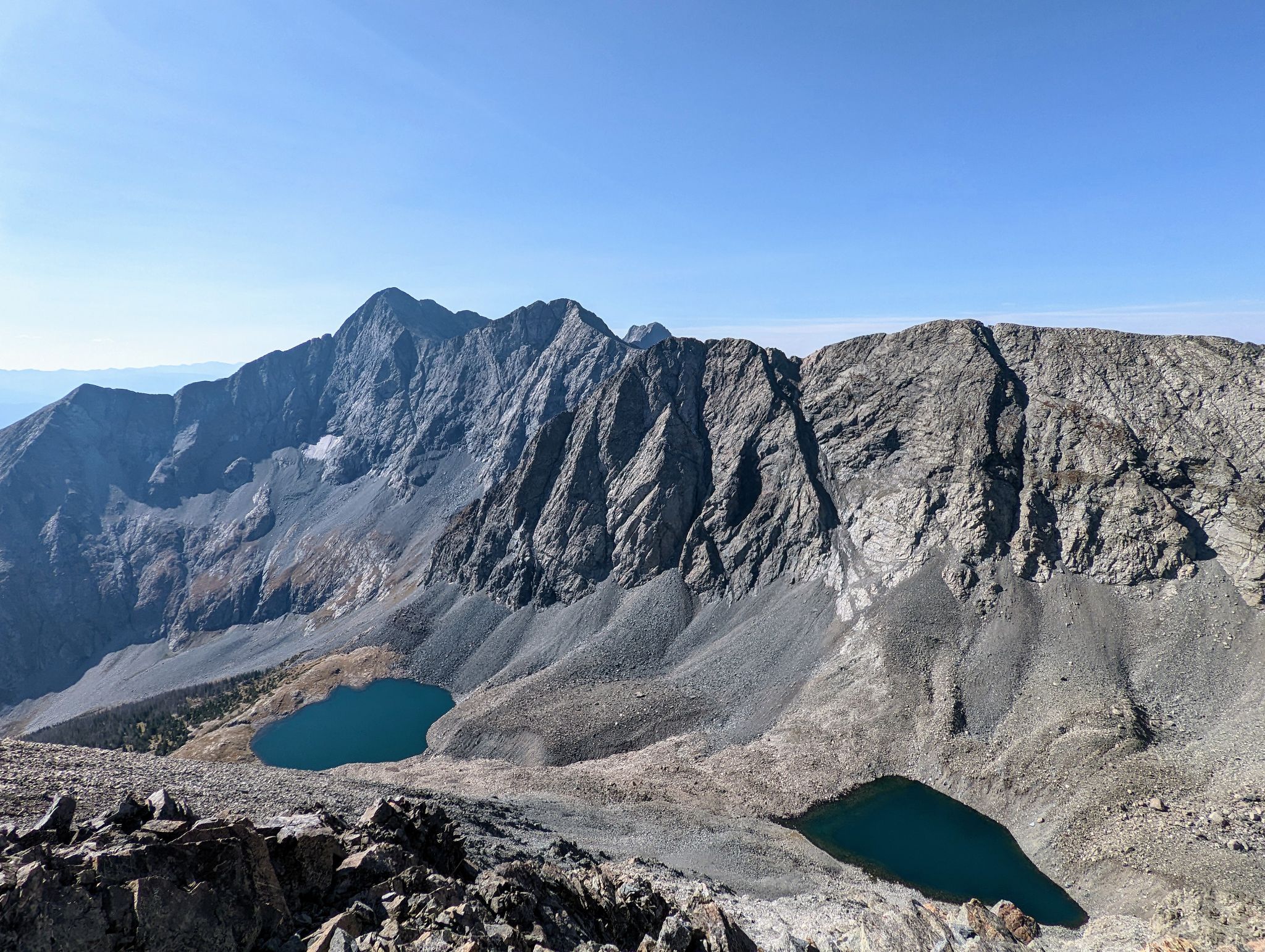
Blanca Group from PT13656
![California PT13656 27]()
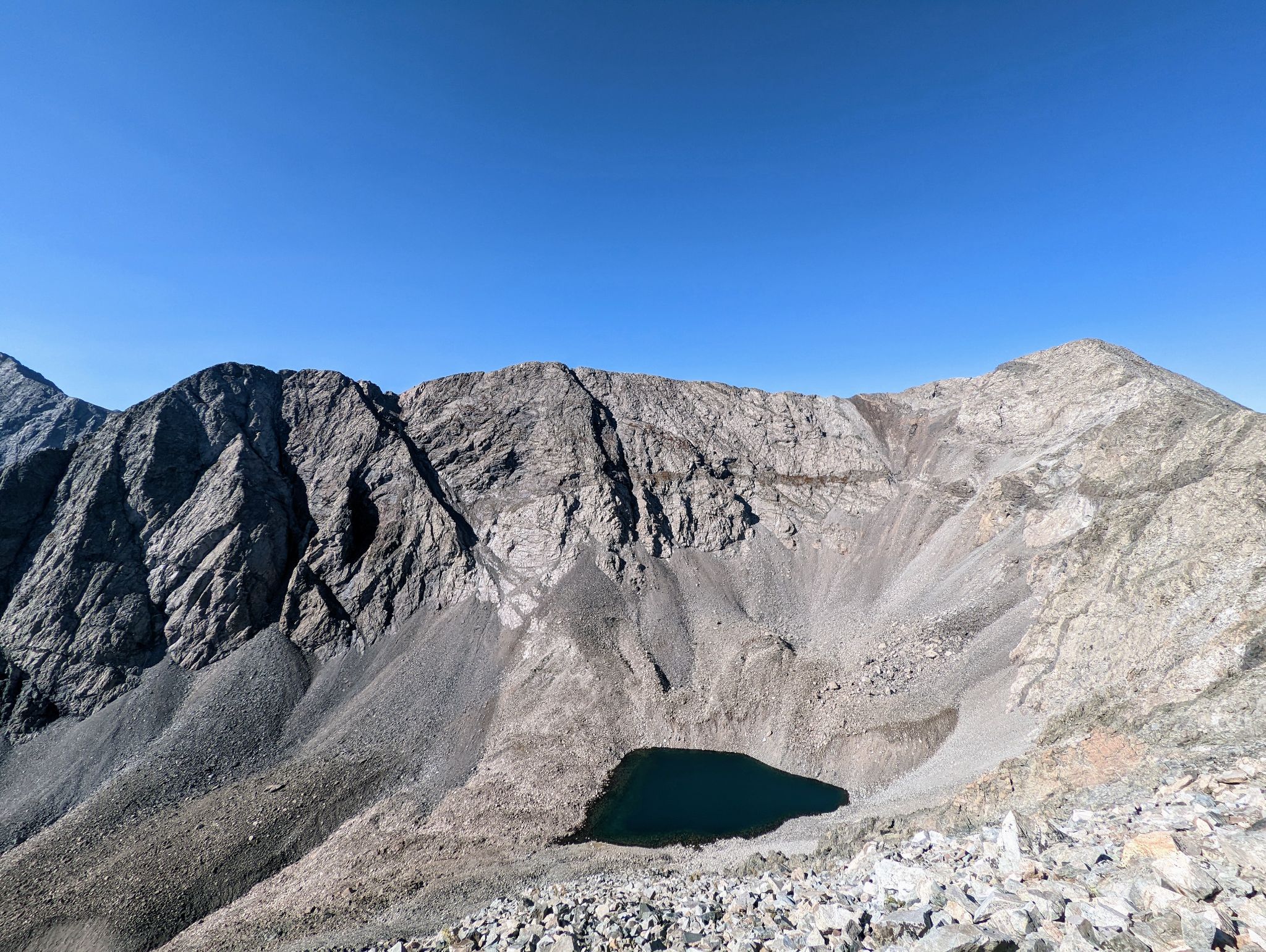
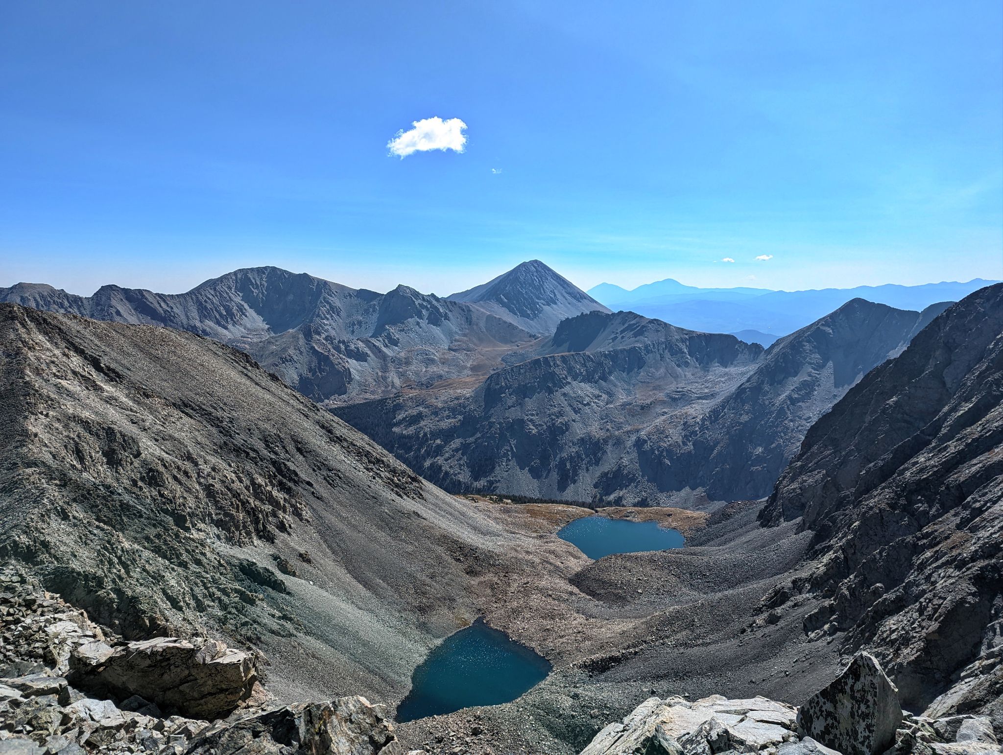
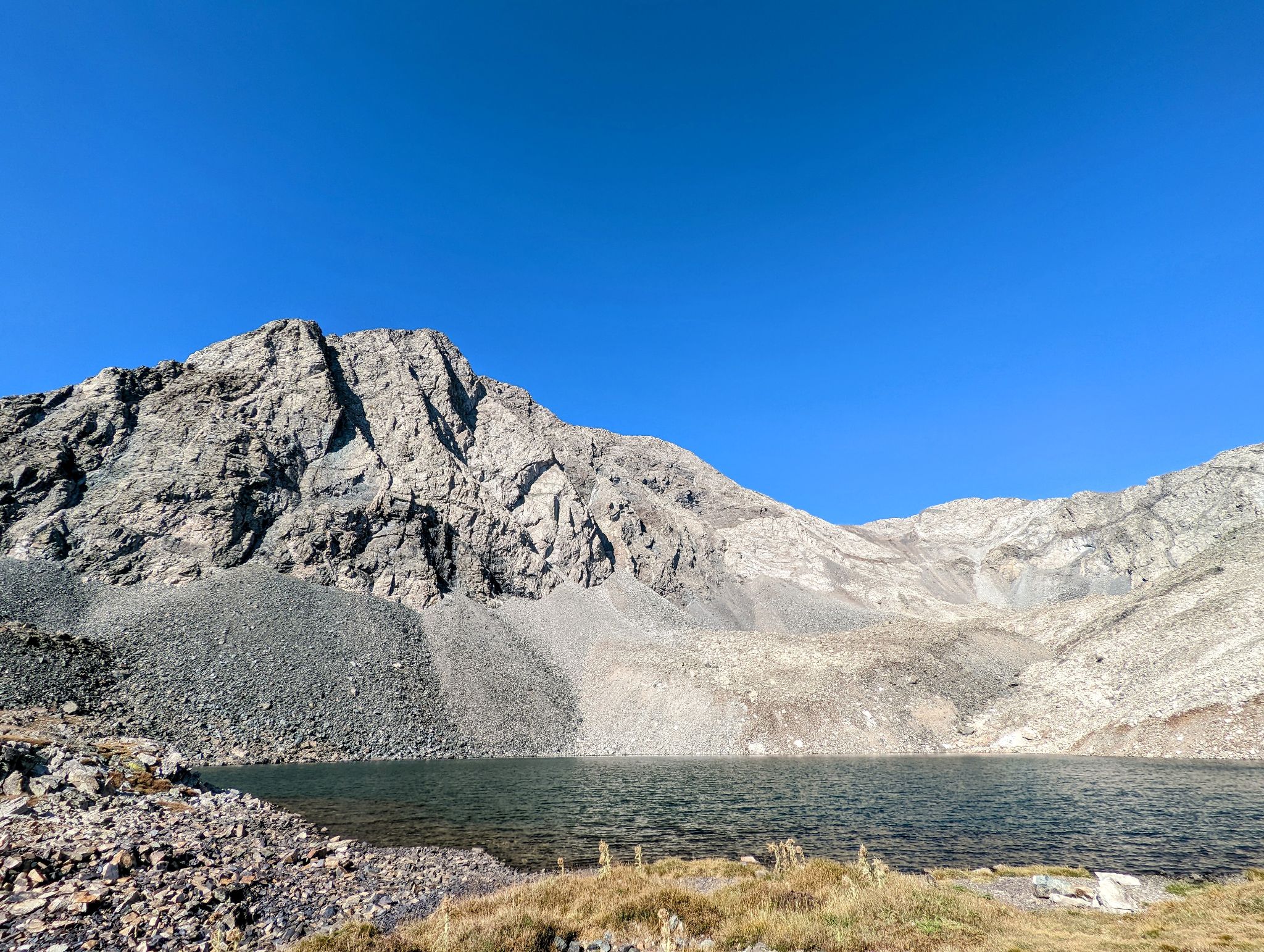
A view to Lily Lake from the PT13656-PT13654 saddle (where I descended)
![California PT13656 28]()
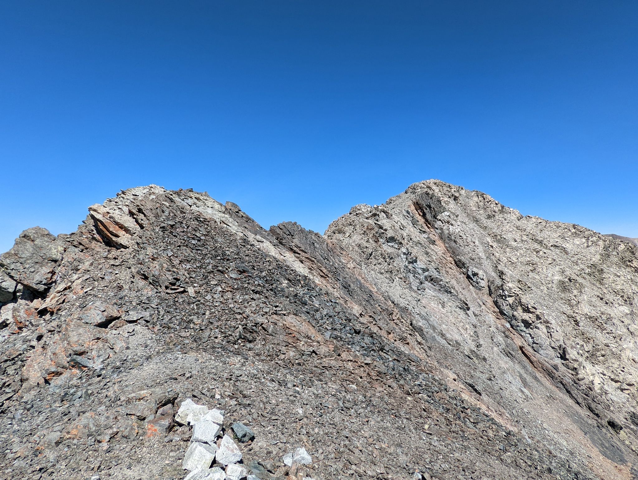
Looking to PT13654 from the saddle
![California PT13656 29]()
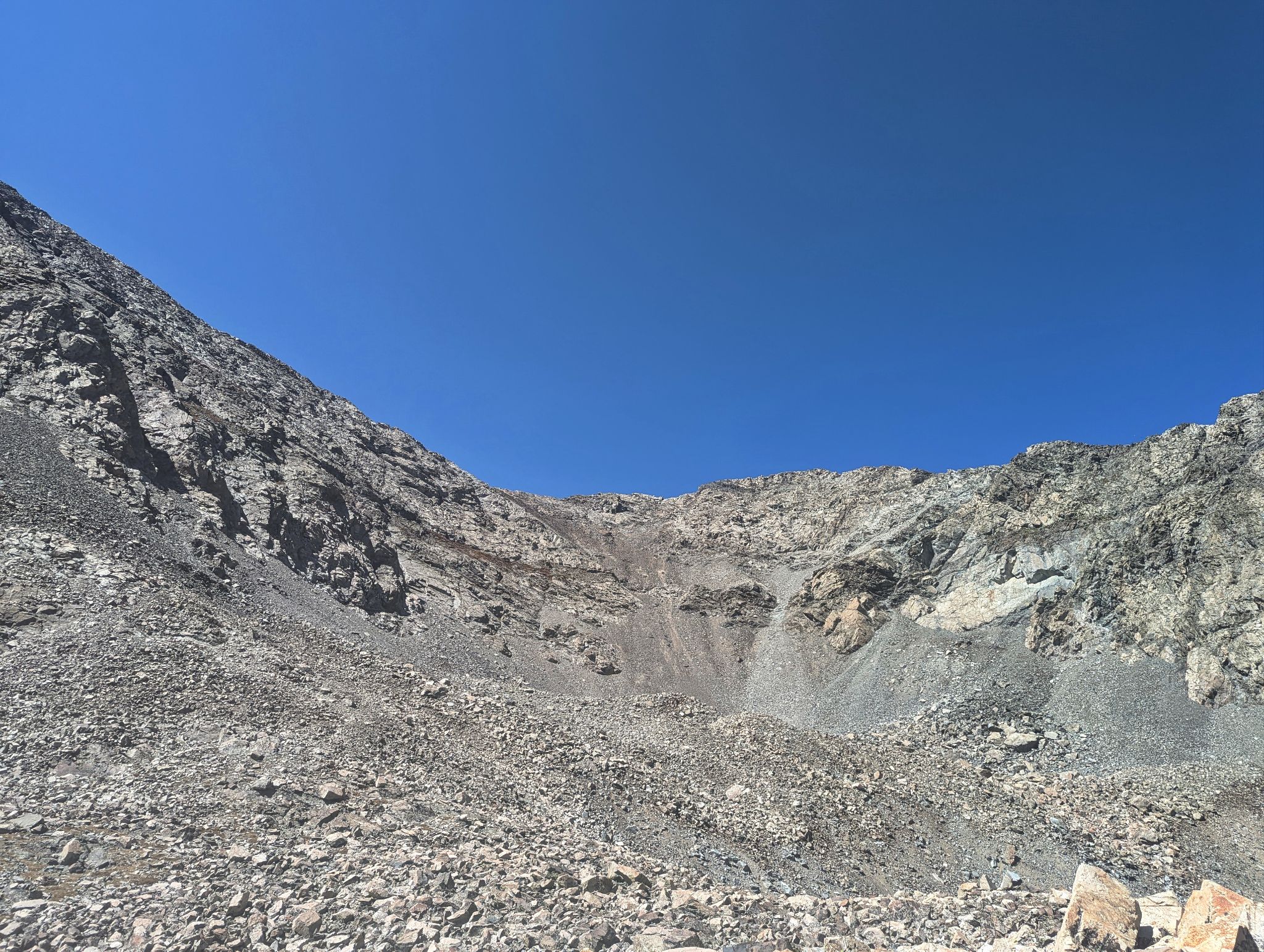
The descent was somewhat surfy
![California PT13656 30]()
Lindsay on the tedious talus walk back to Lily Lake
![California PT13656 31]()
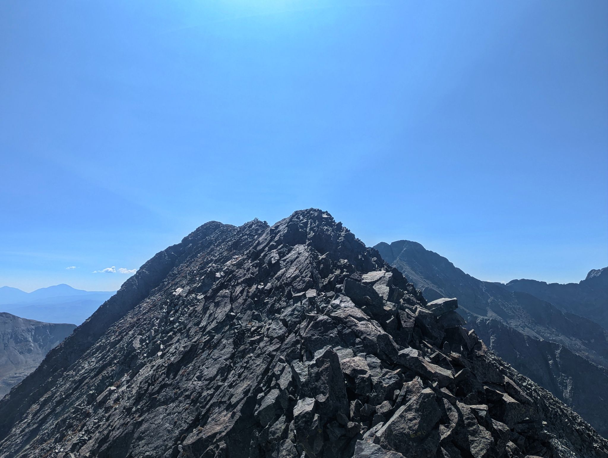
PT13656(L) and PT13654(R). My descent route center
![California PT13656 32]()
The trail from Lily Lake back to the TH was cruiser