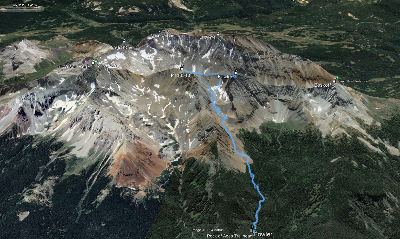
Mount Fowler & PT13575
Fowler aka Big Bear
Date: 08/04/2023
Partner: Solo
Trailhead: Rock of Ages
Summits: PT13575 & Mount Fowler (aka Big Bear)
Distance: 6.5m
Elevation Gain: 3550ft
Duration: 5hrs
GPX
PT13575 14ers.com Page
Mount Fowler 14ers.com Page
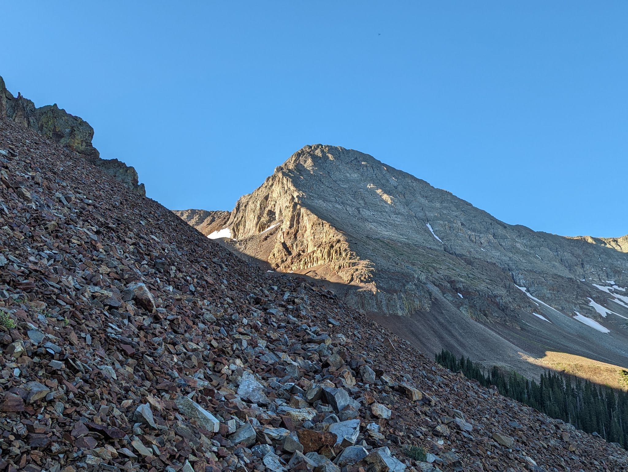
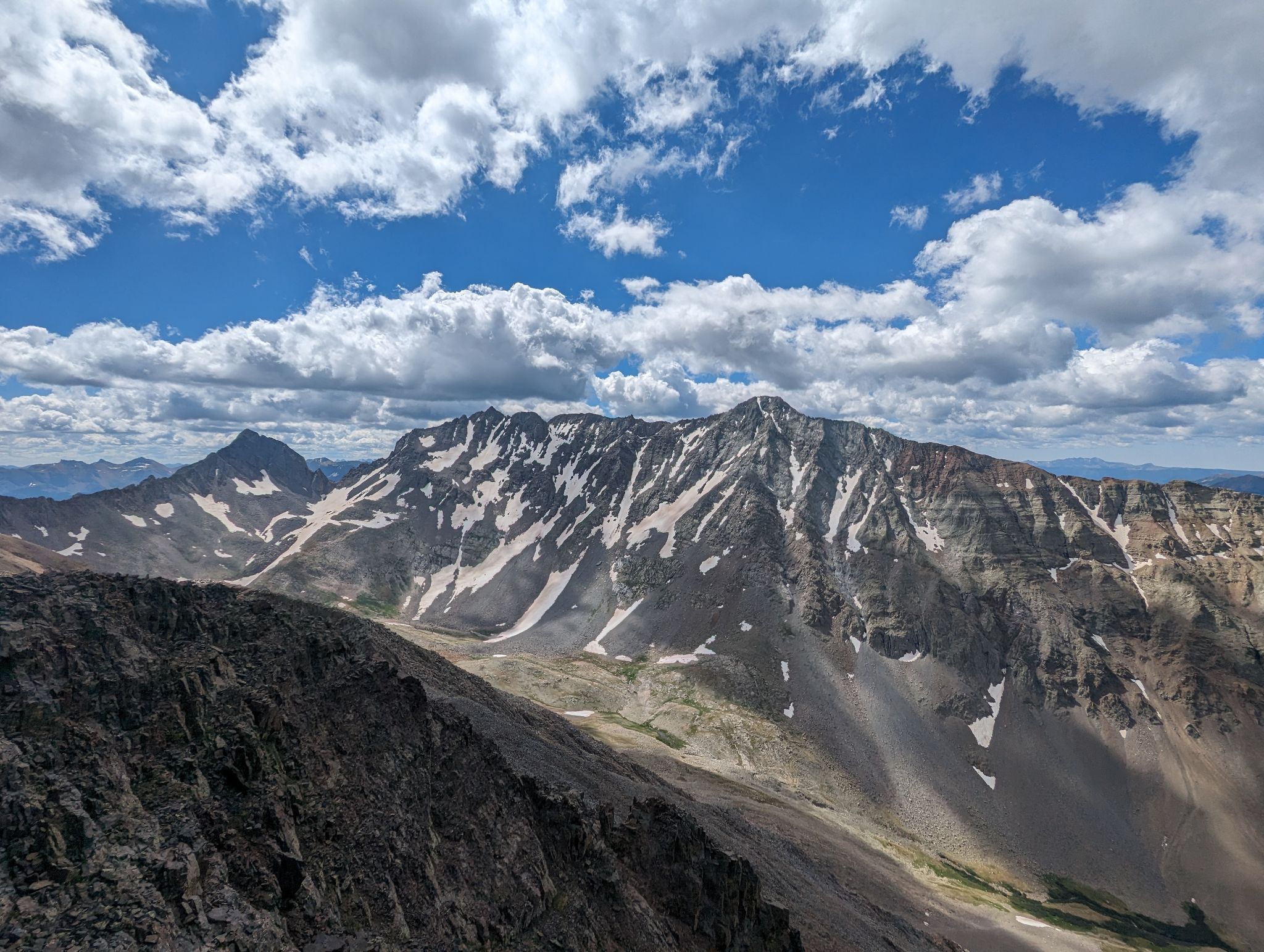
A lot of loose rock up here. A fun final scramble to the summit with great views of the Wilson Group.
![Fowler pt13540b 01]()
6.5m - 3550ft - 5hrs
![Fowler pt13540b 02]()
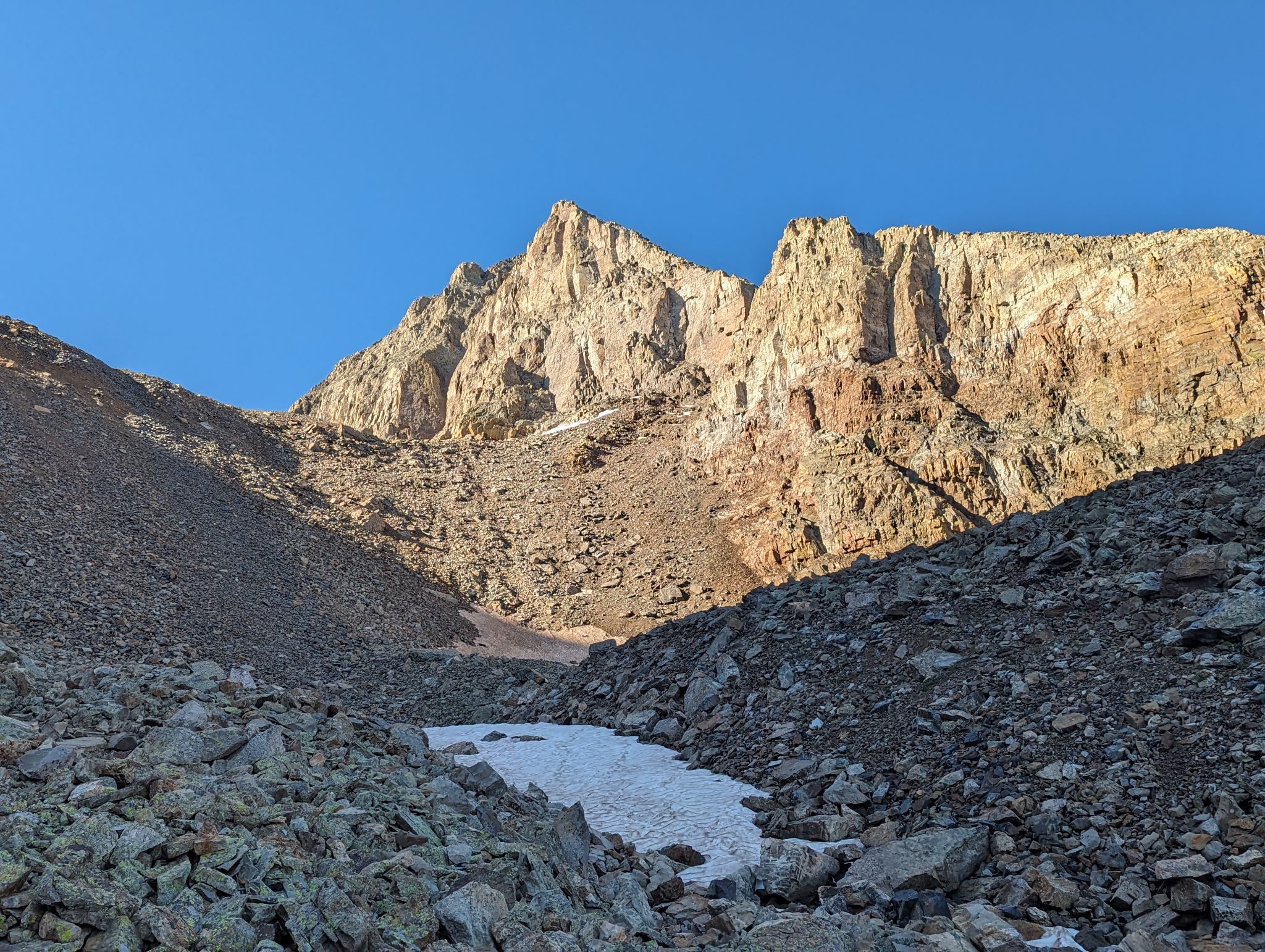
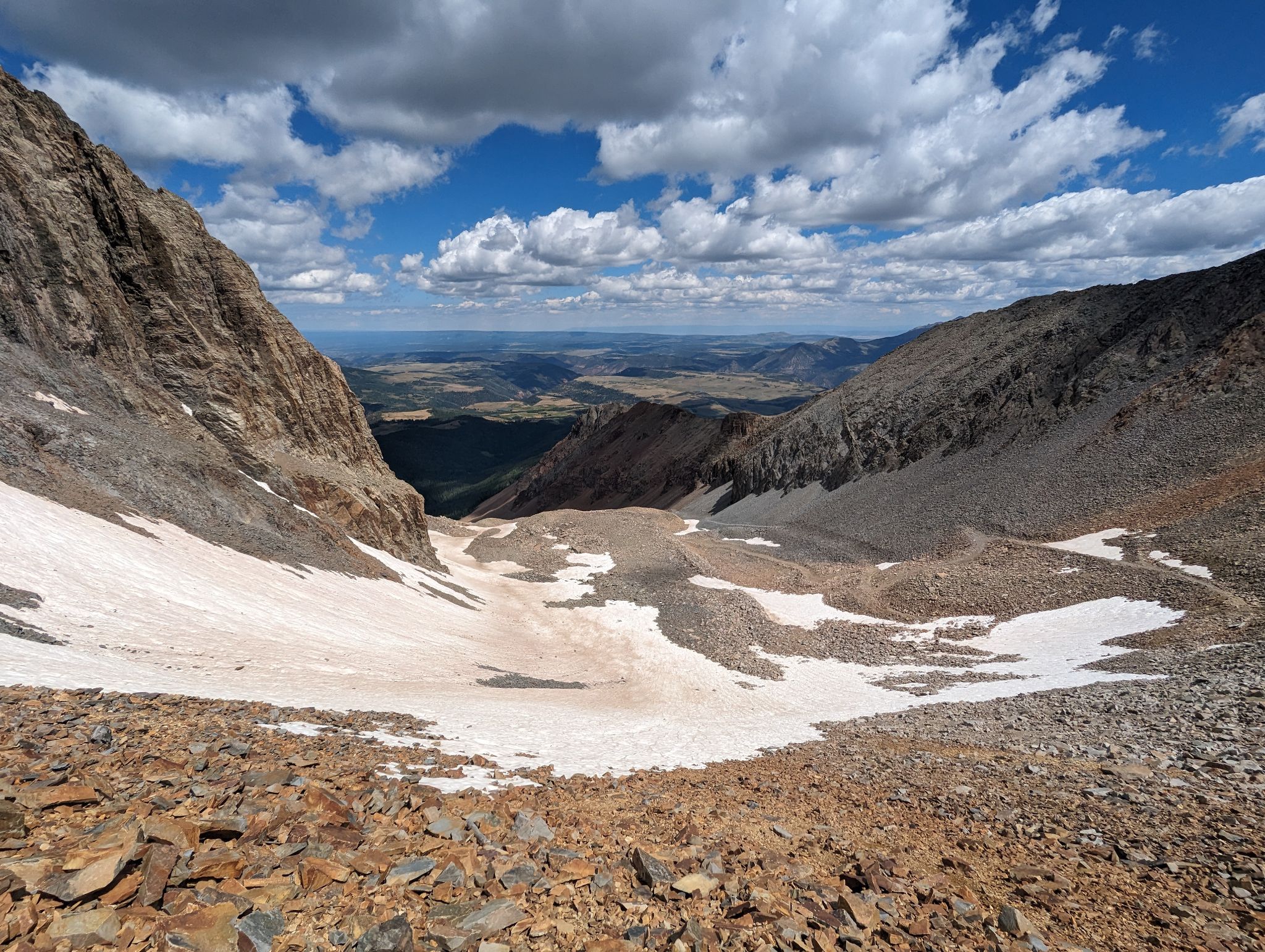
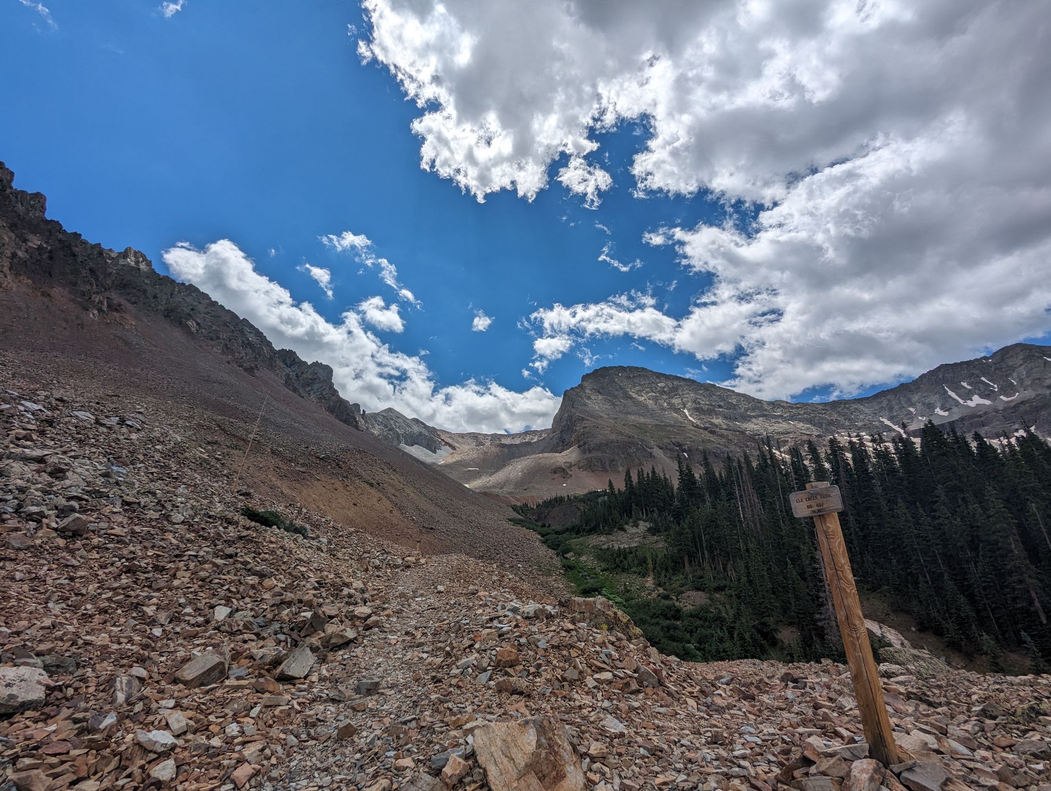
After leaving the Rock of Ages trail I hiked on packed scree and old mining roads into the upper basin
![Fowler pt13540b 03]()
![Fowler pt13540b 04]()
![Fowler pt13540b 05]()
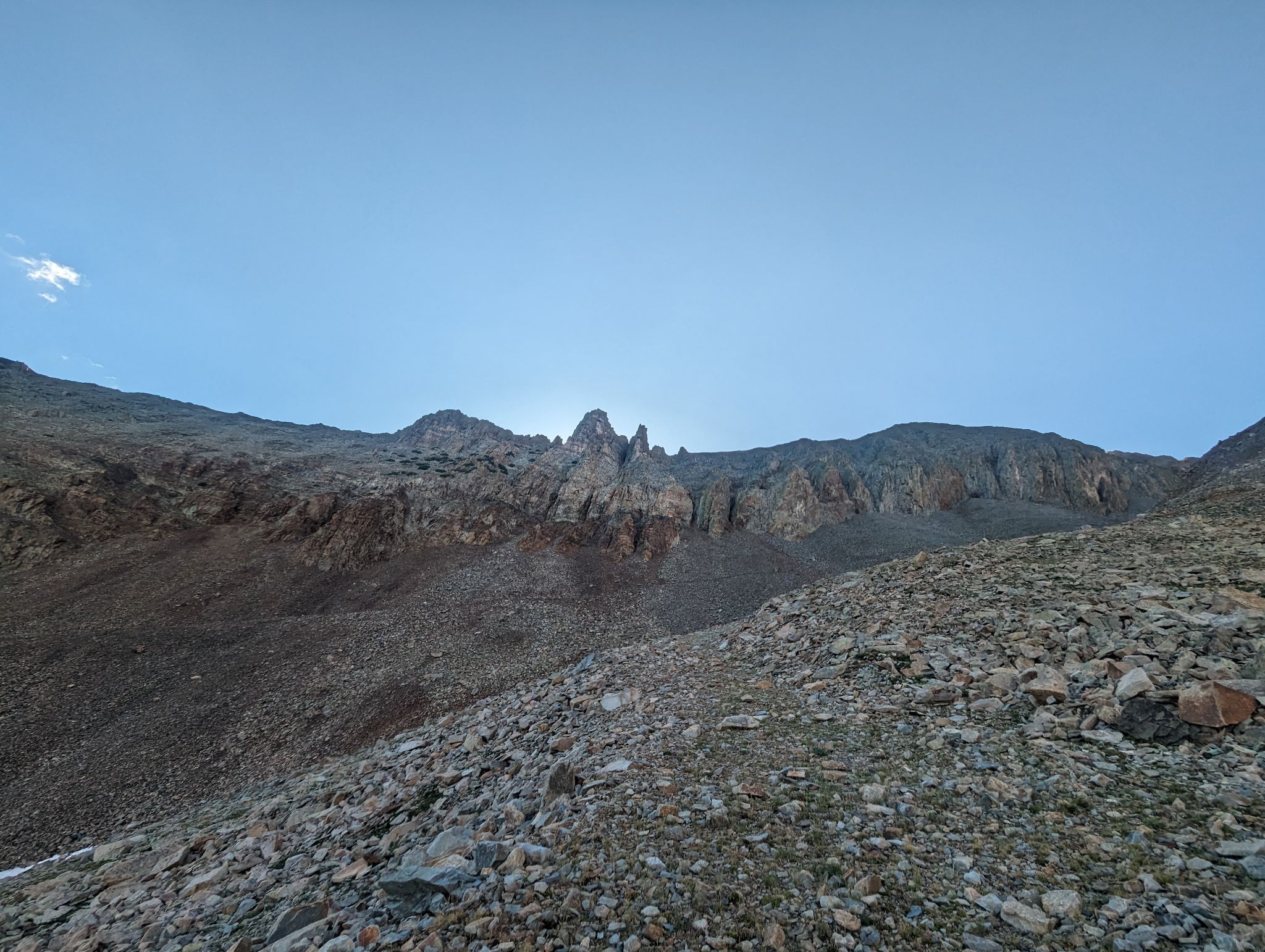
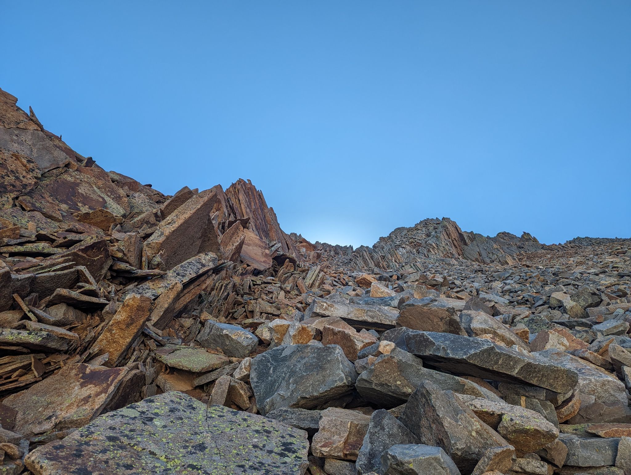
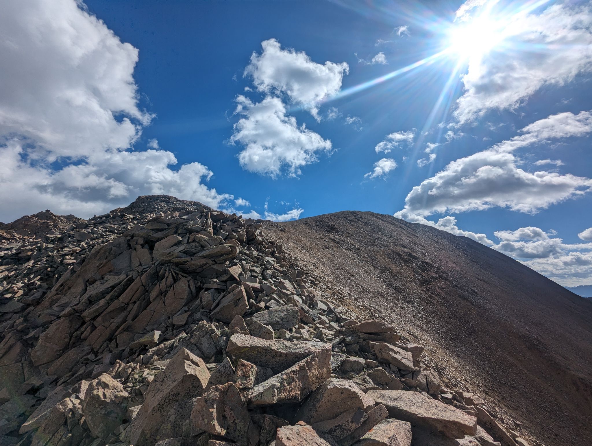
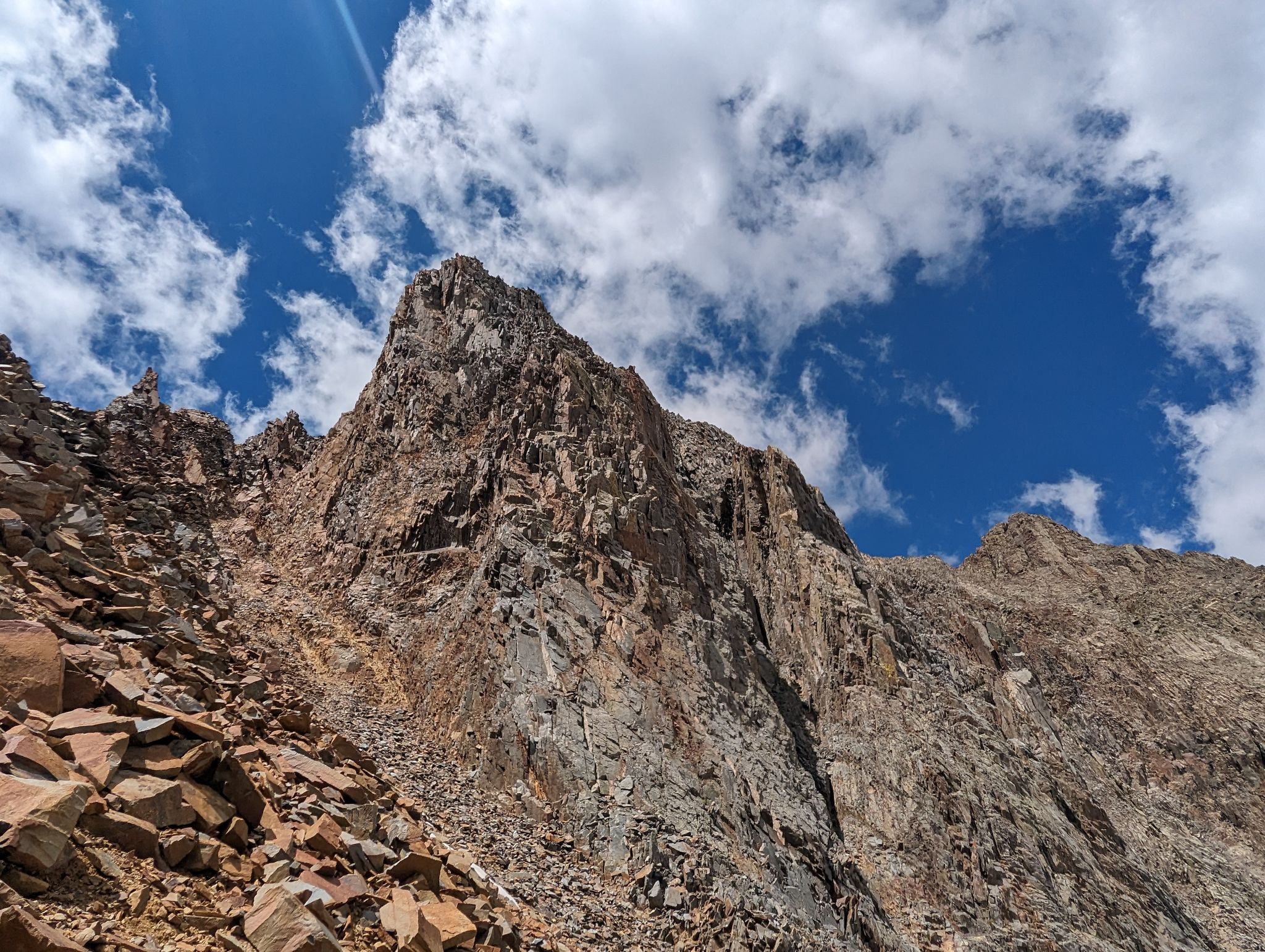
A loose climb to the ridge
![Fowler pt13540b 06]()
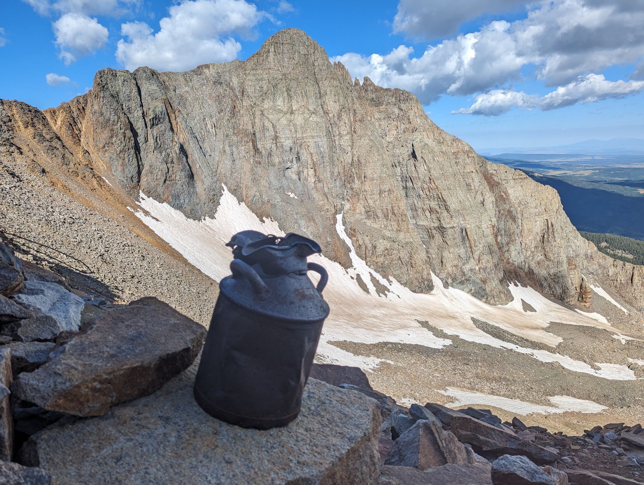
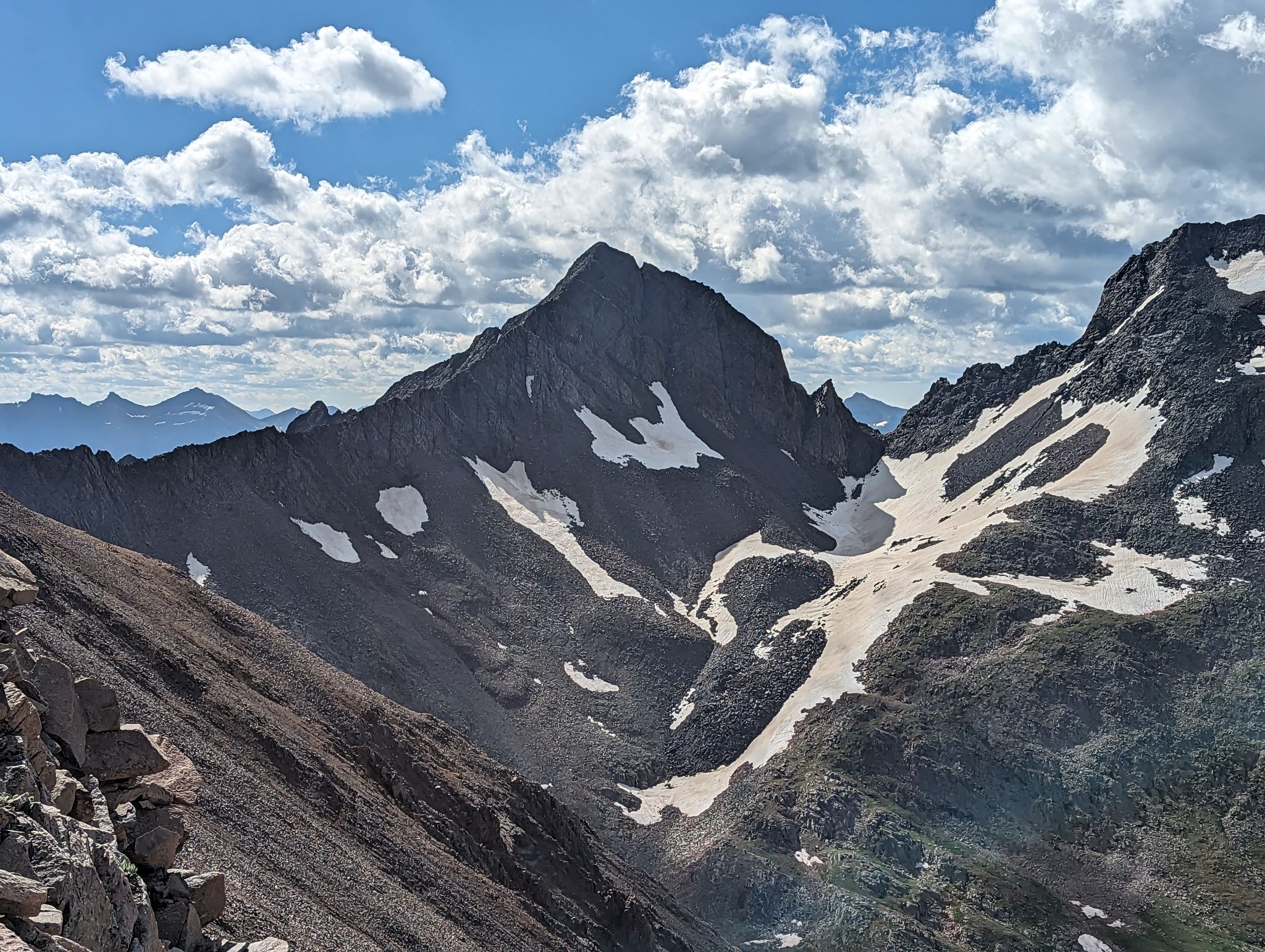
Fowler and the jug
![Fowler pt13540b 07]()
I looked for as much solid rock to climb as possible
![Fowler pt13540b 08]()
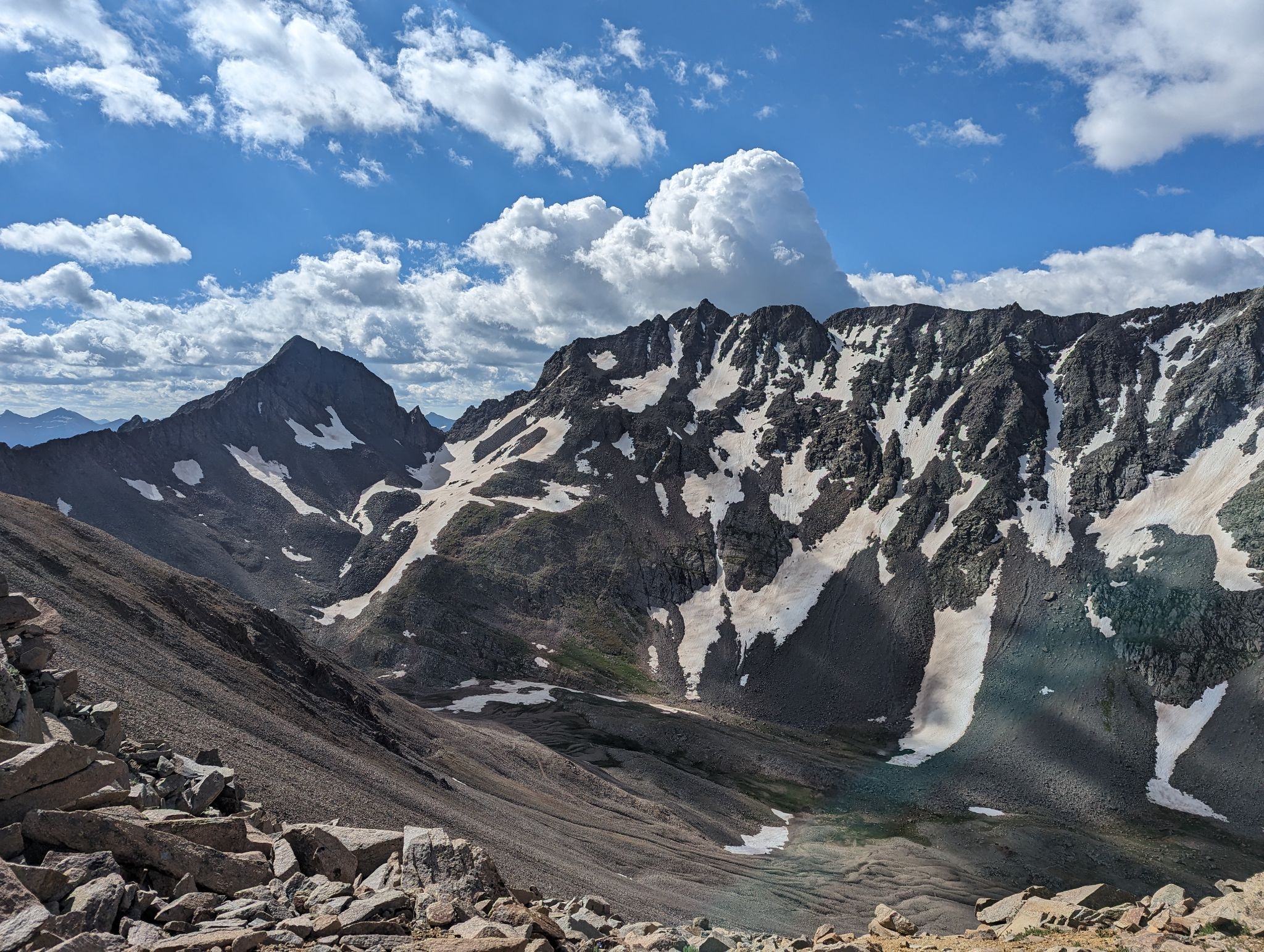
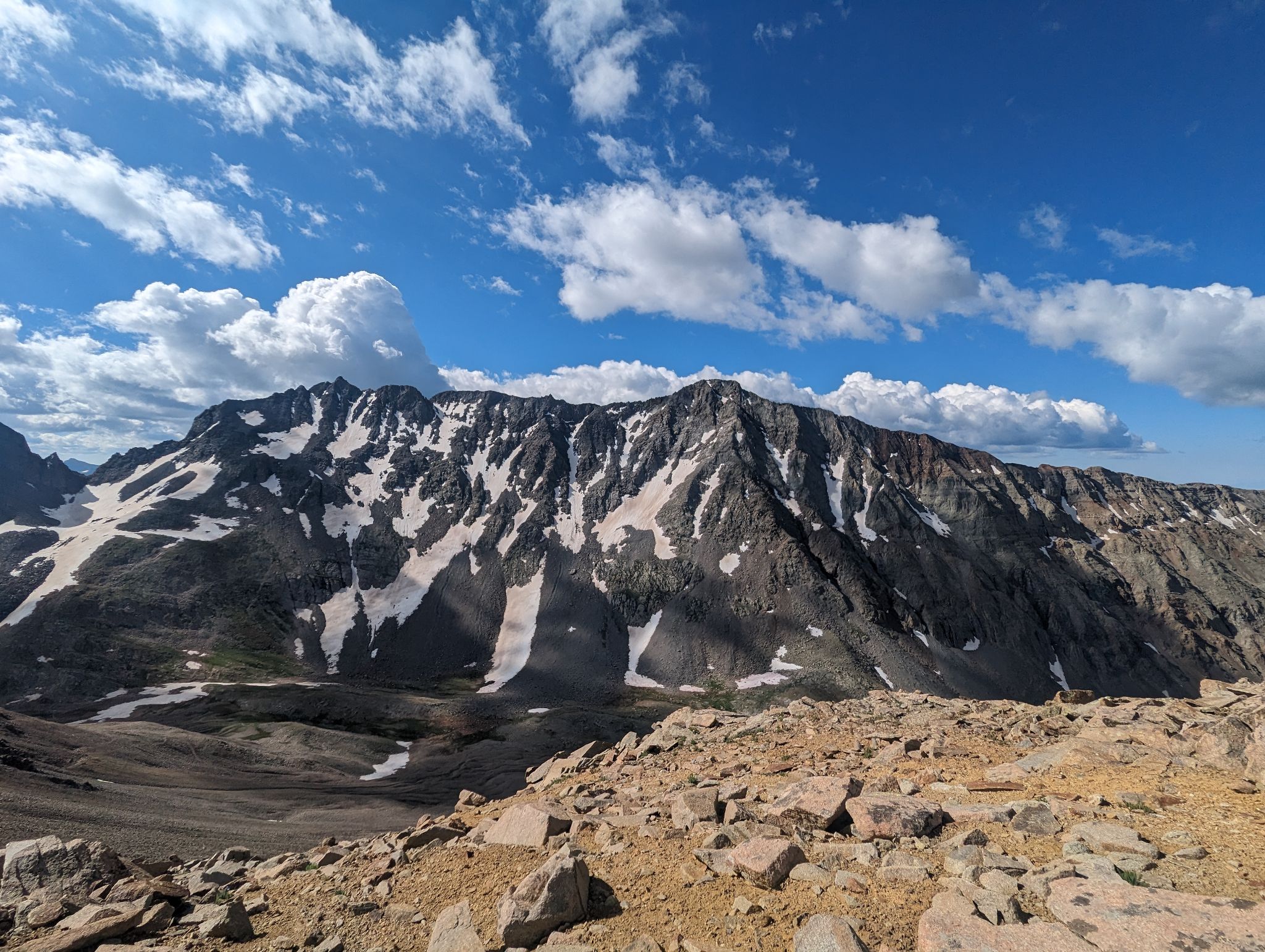
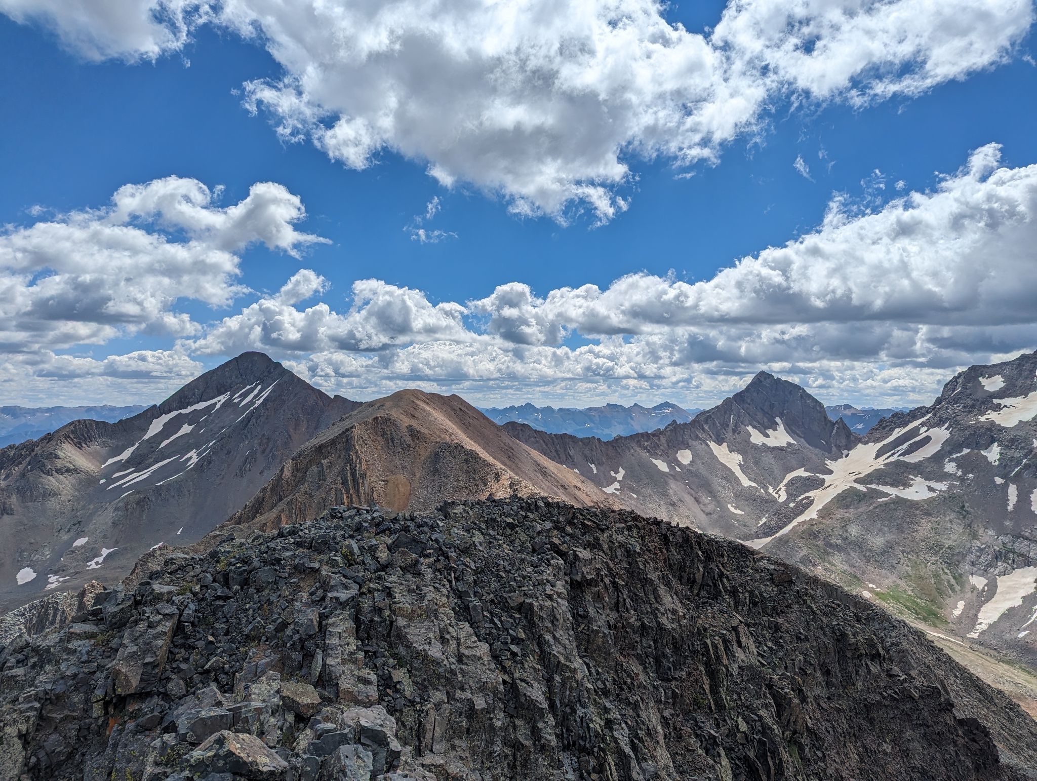
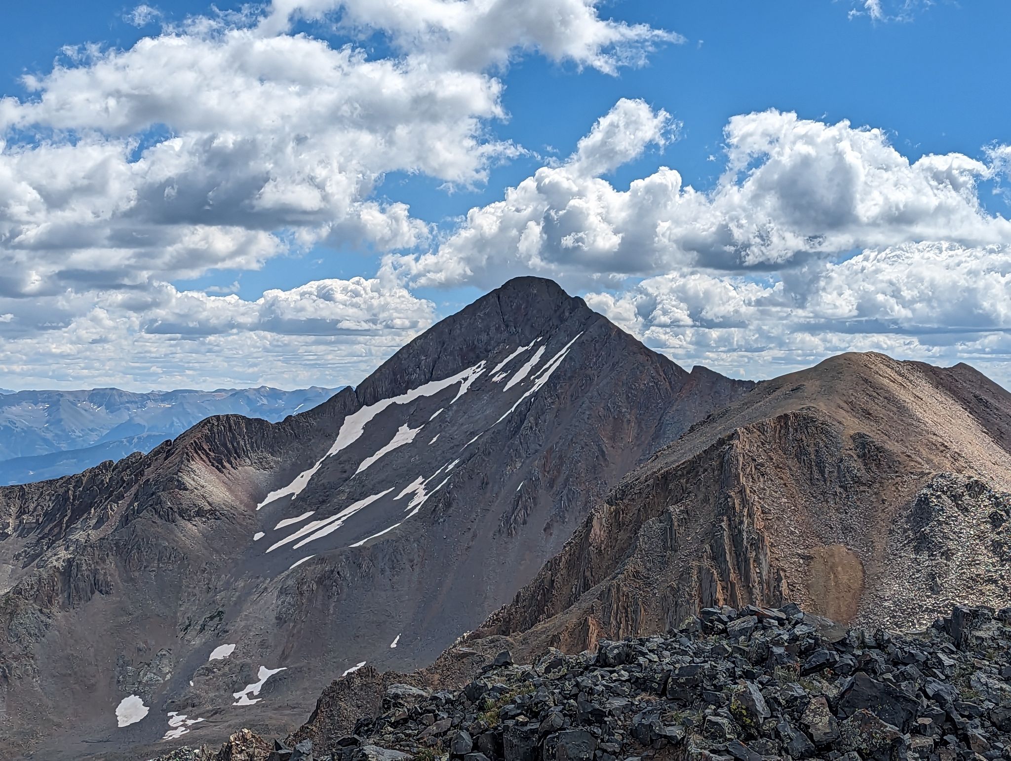
Gladstone and Mt. Wilson from the ridge
![Fowler pt13540b 09]()
Gladstone
![Fowler pt13540b 10]()
El Diente - Mt. Wilson traverse
![Fowler pt13540b 11]()
Up the ridge to PT13575
![Fowler pt13540b 12]()
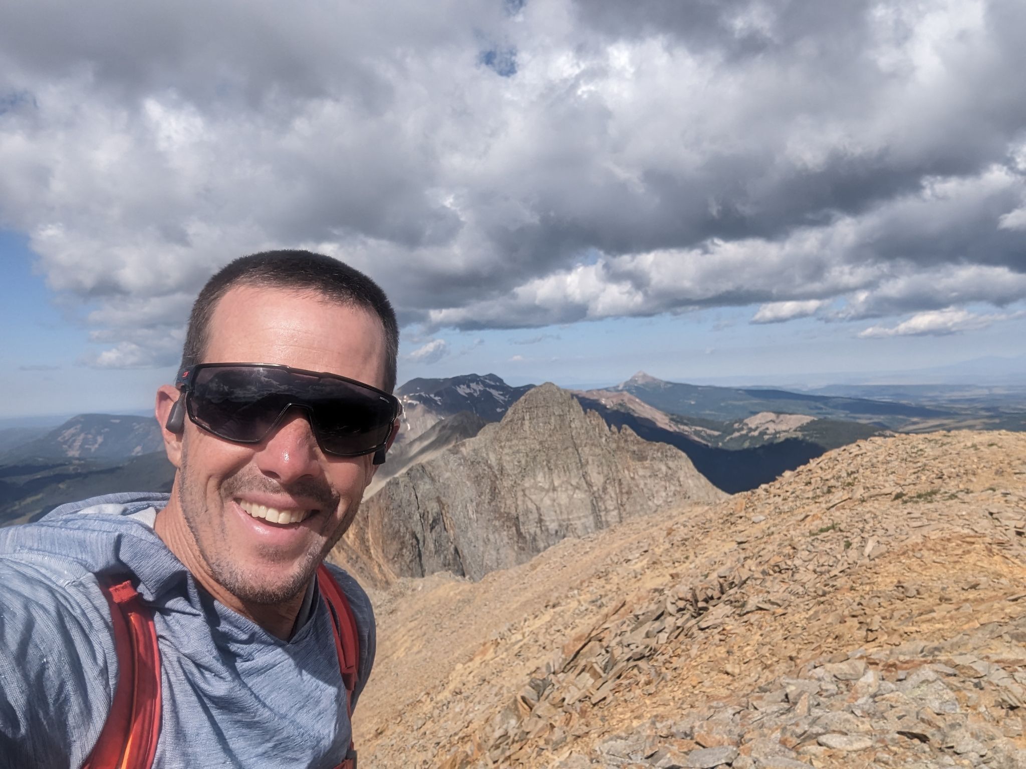
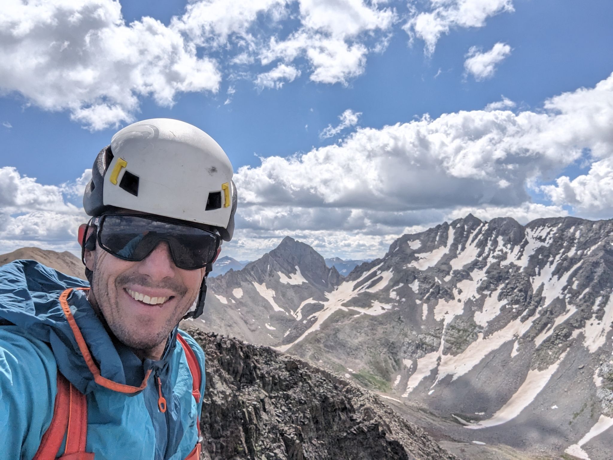
Summit selfie with Fowler in the distance
![Fowler pt13540b 13]()
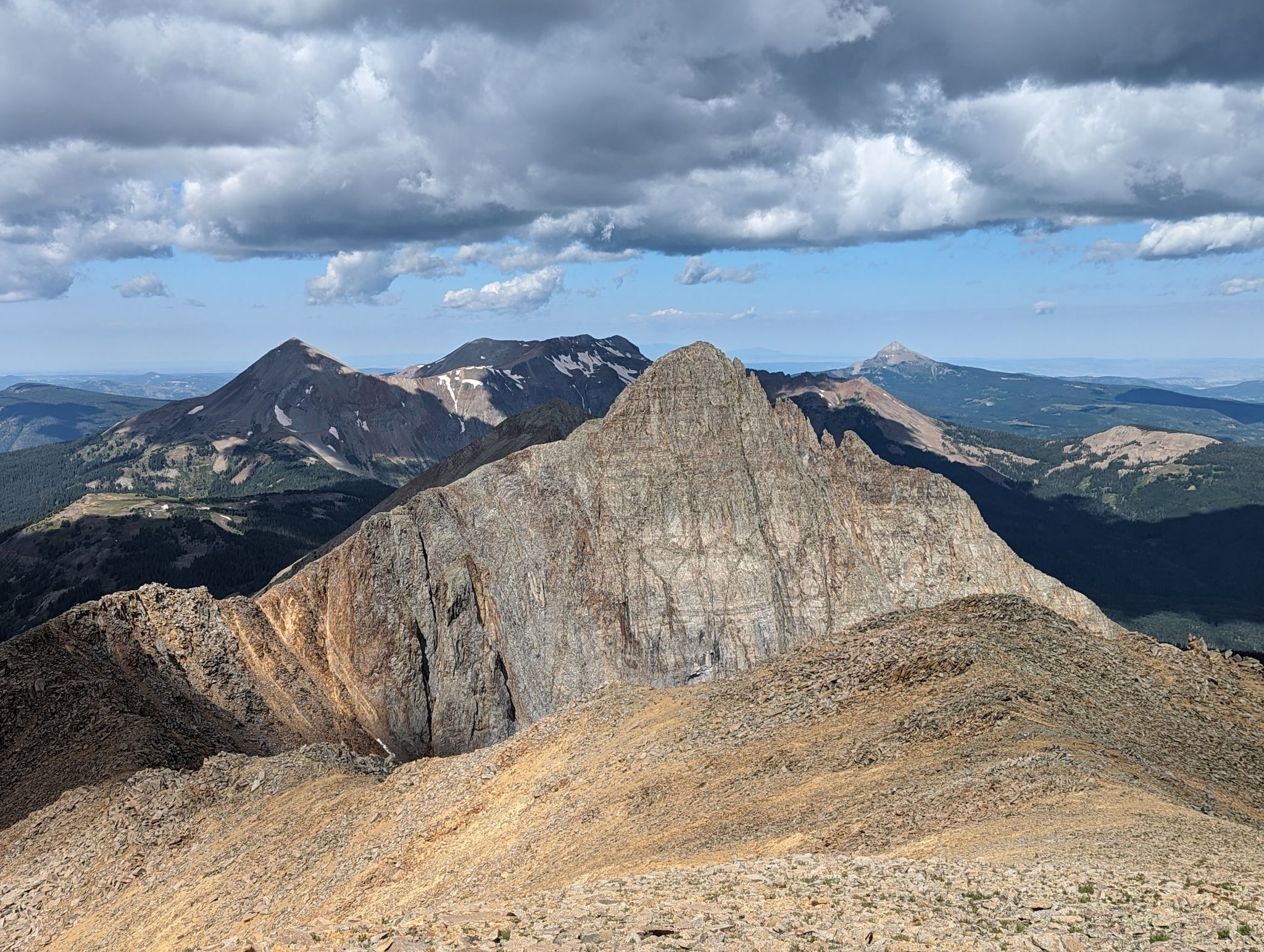
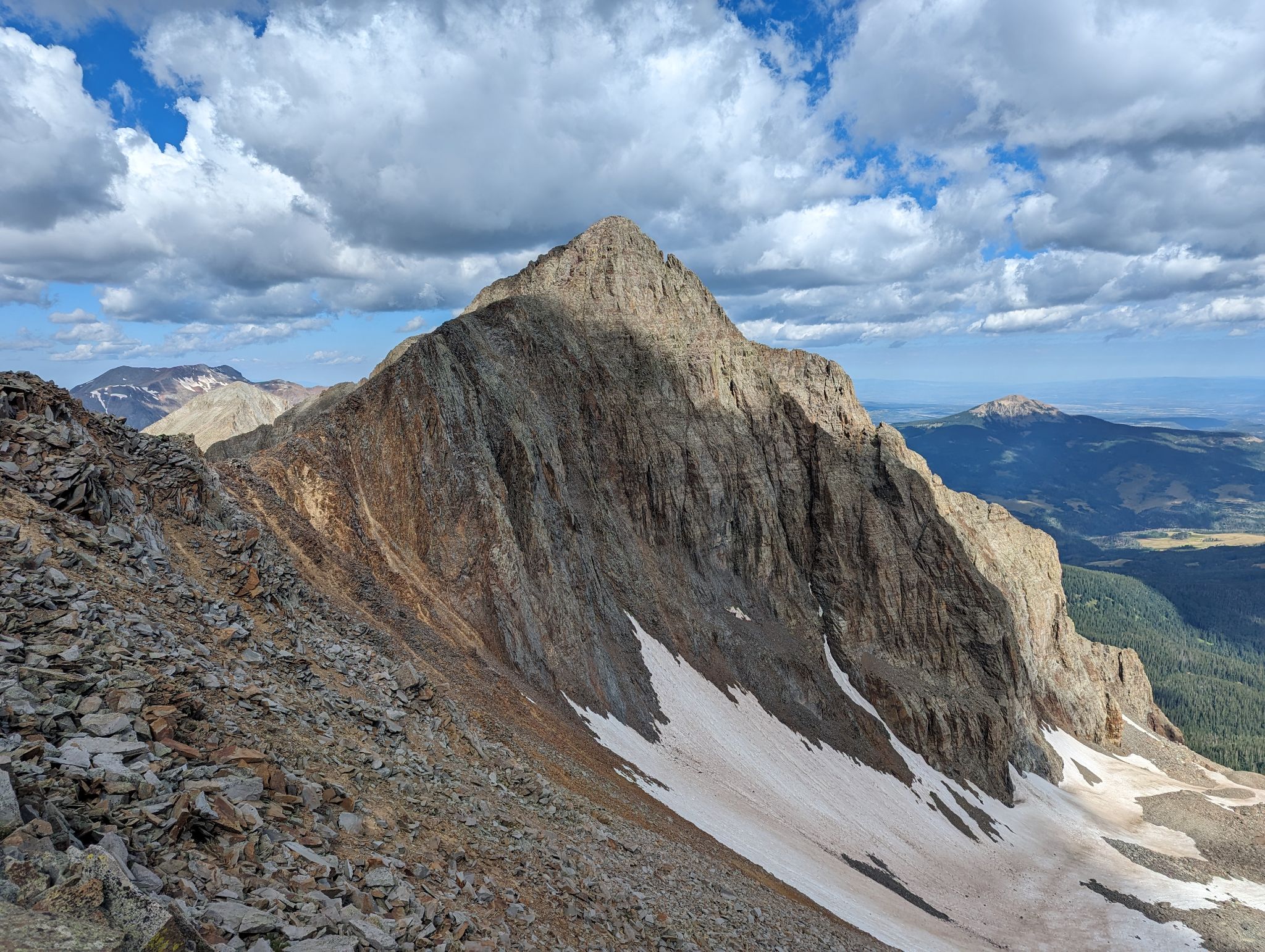
On to Fowler
![Fowler pt13540b 14]()
![Fowler pt13540b 15]()
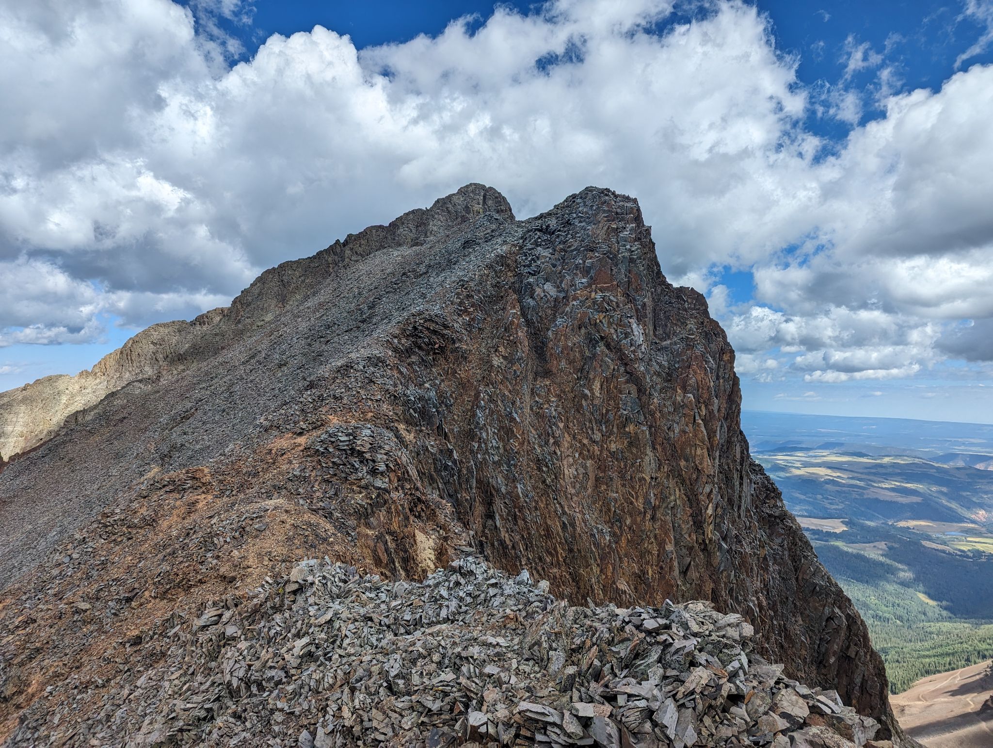
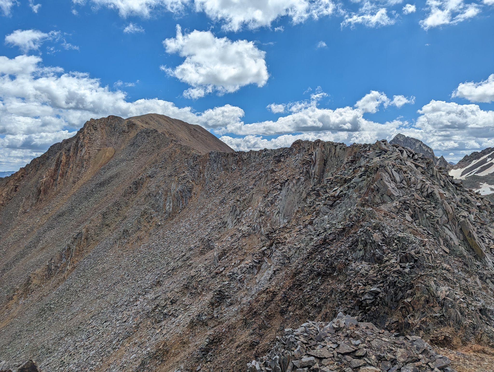
Up the ridge
![Fowler pt13540b 16]()
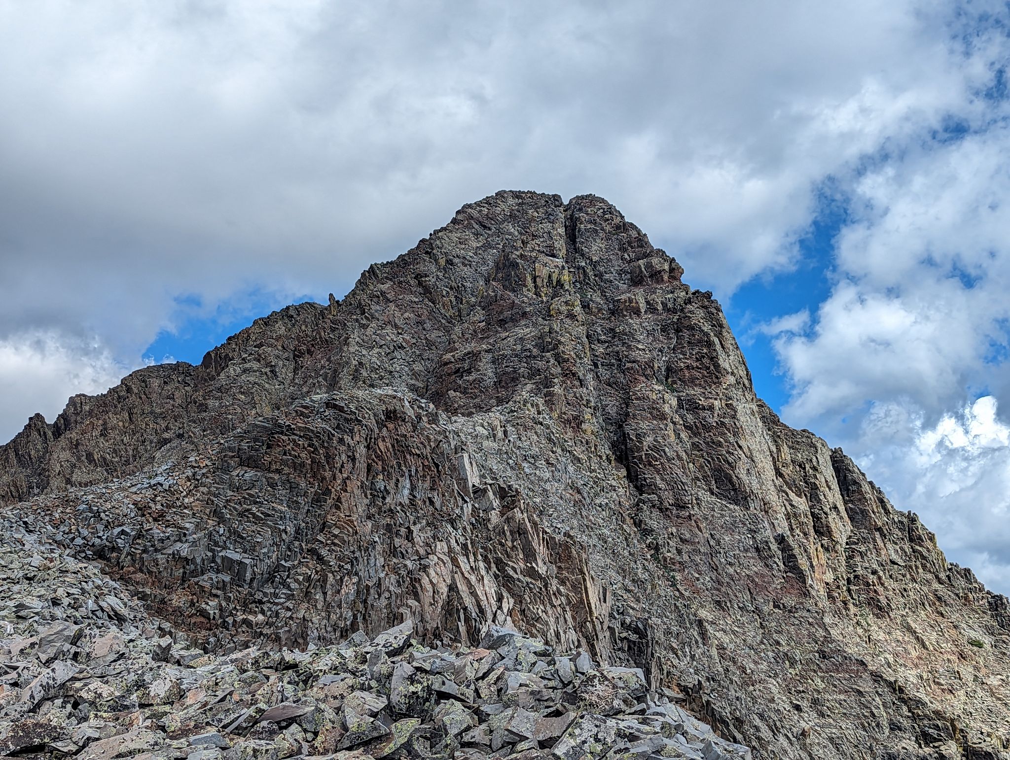
There was some class 3/4 scrambling to the summit
![Fowler pt13540b 17]()
Summit views of El Diente, Mt. Wilson and Galdstone
![Fowler pt13540b 18]()
Wilson Peak (L) and Gladstone
![Fowler pt13540b 19]()
Wilson Peak
![Fowler pt13540b 20]()
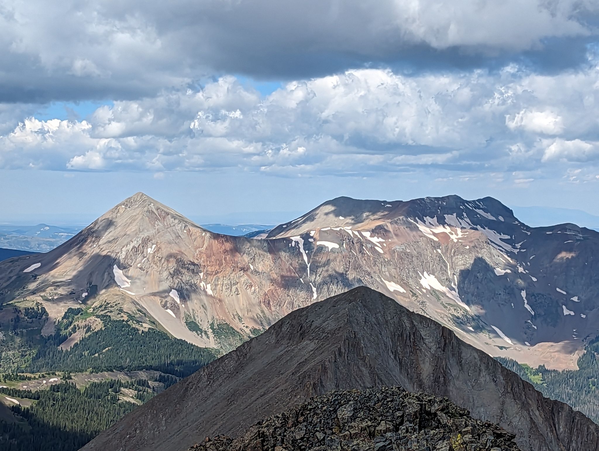
Dolores group over Boskoff to the west
![Fowler pt13540b 21]()
Summit selfie
![Fowler pt13540b 22]()
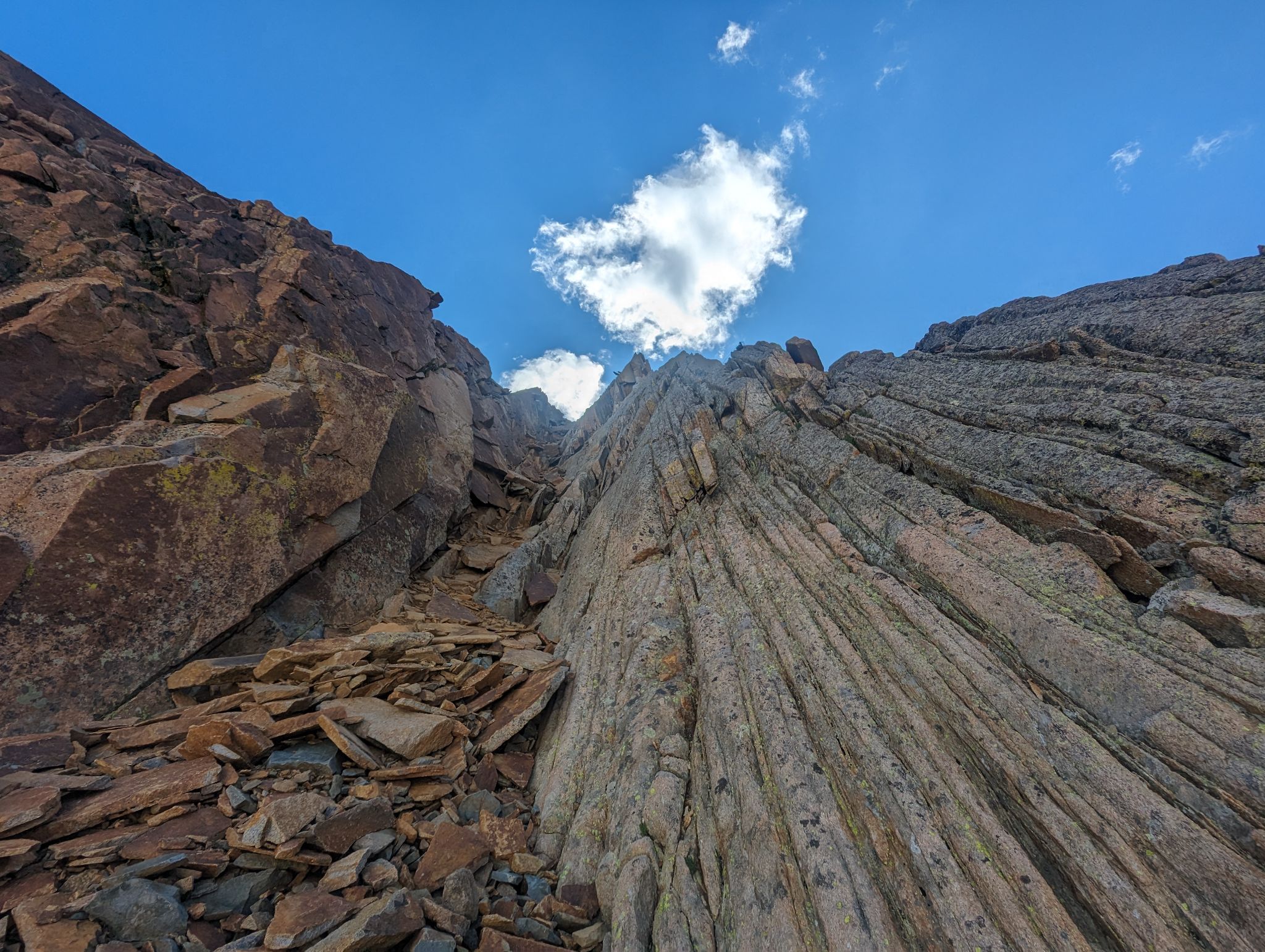
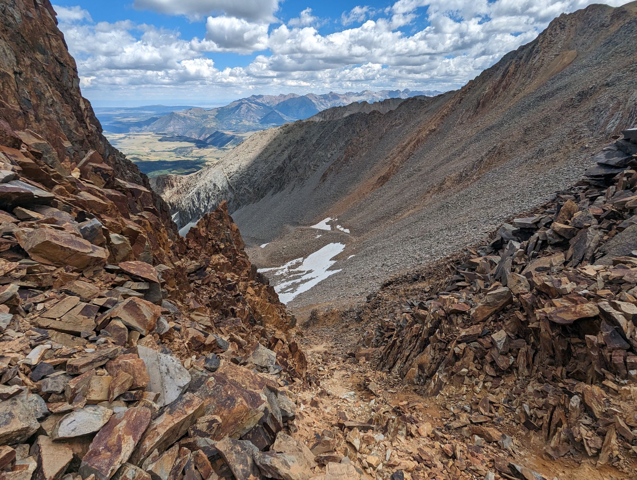
After climbing off the summit I descended a nasty loose gully from the ridge back into the upper basin
![Fowler pt13540b 23]()
Looking down the gully
![Fowler pt13540b 24]()
Looking back up the gully
![Fowler pt13540b 25]()
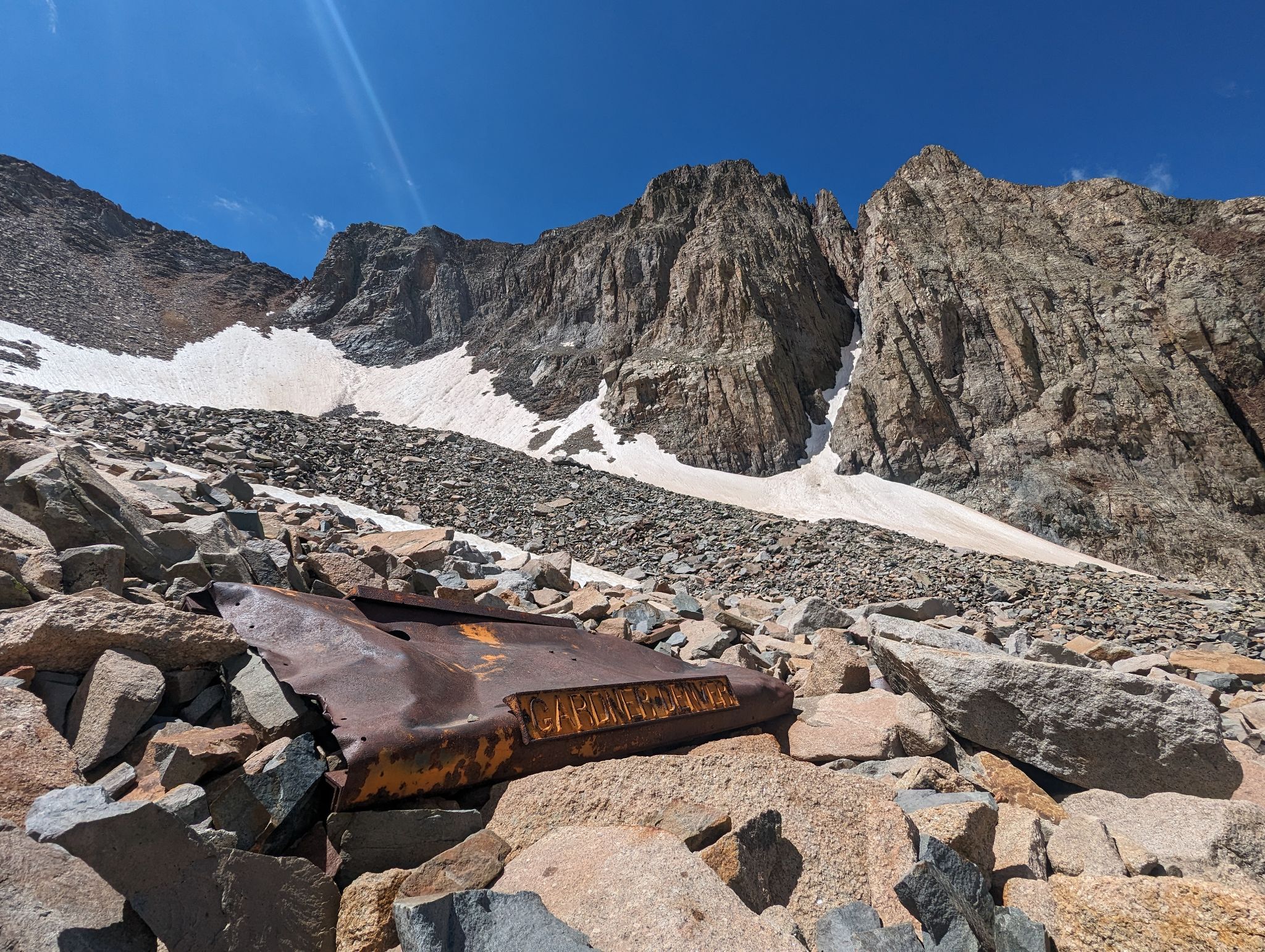
Garbage or Historical artifact?
![Fowler pt13540b 26]()
Back down from where I came
![Fowler pt13540b 27]()