Mount Moss
Date: 08/11/2023
Partner: Solo
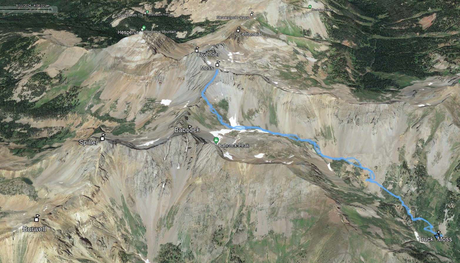
Trailhead: Road 798 to Tomahawk Mine (a bit past Boren Creek TH 4x4 from main road)
Distance: 4.5m
Elevation Gain: 2750ft
Duration: 4hrs 45min
GPX
Mount Moss 14ers.com Page
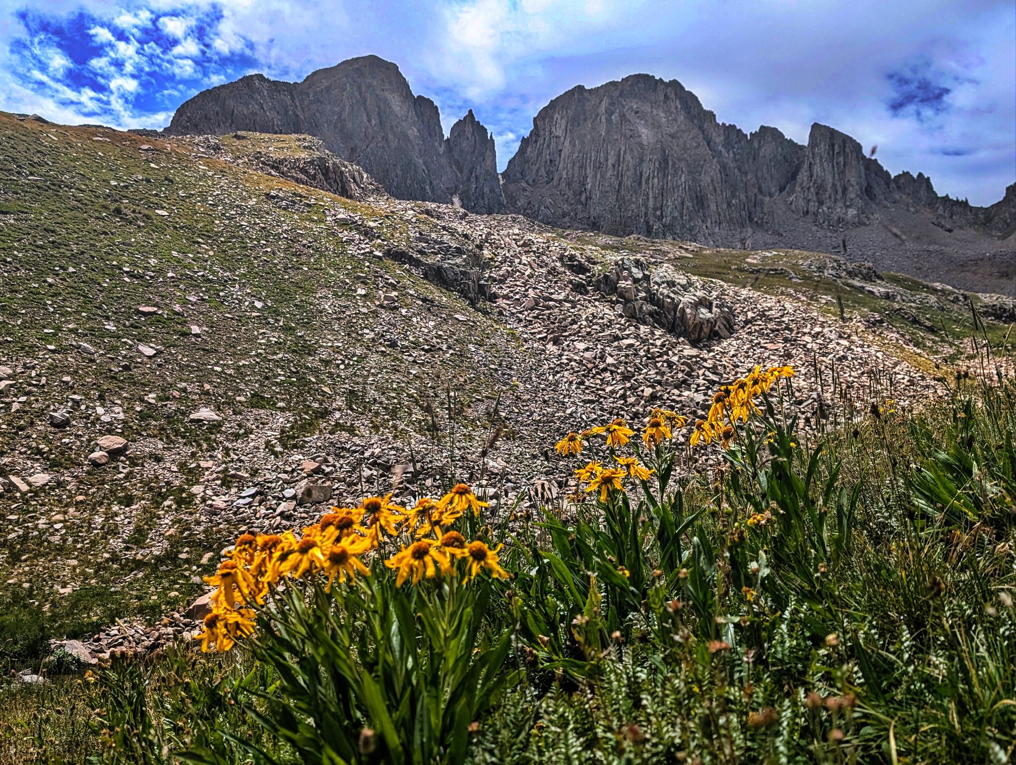
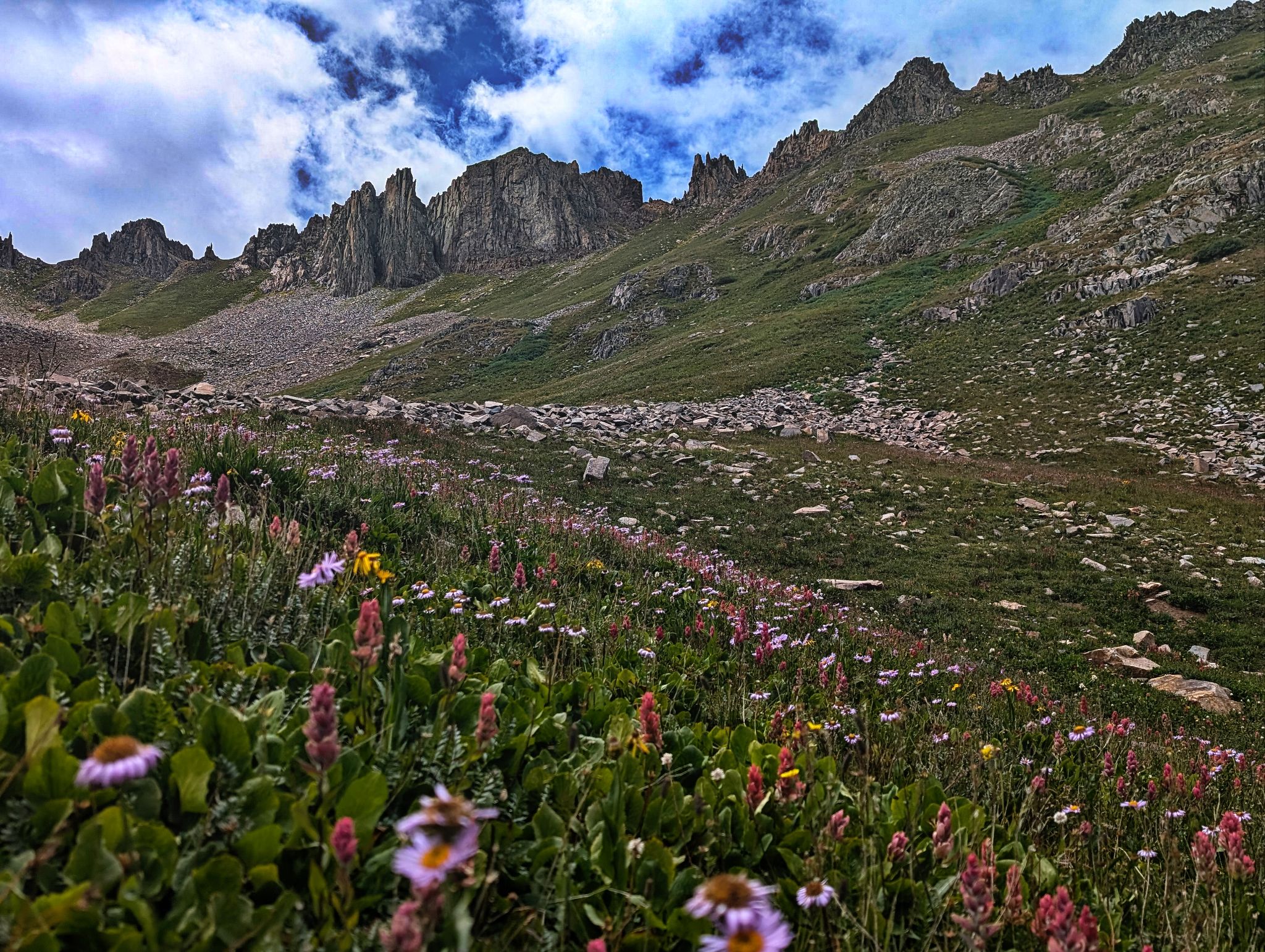
Hiking the road to the upper basin was meh... but once on Moss' south ridge the views were amazing and the terrain relatively fun
![Moss 01]()
4.5m - 2750ft - 4hrs 45min
![Moss 02]()
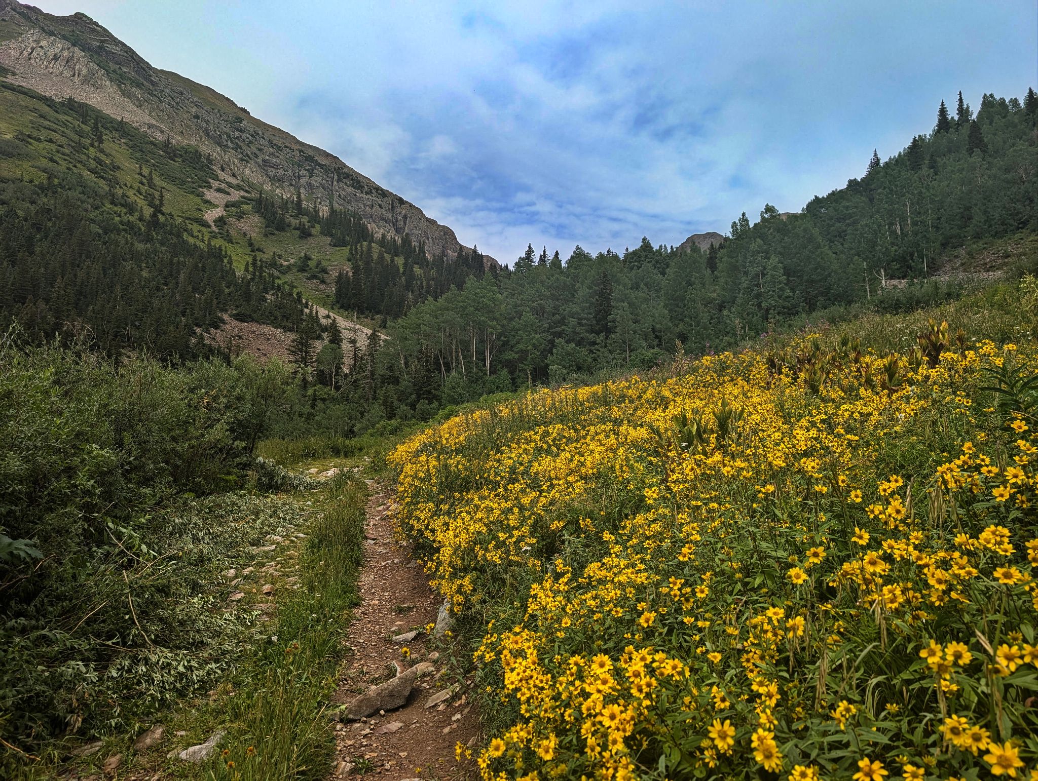
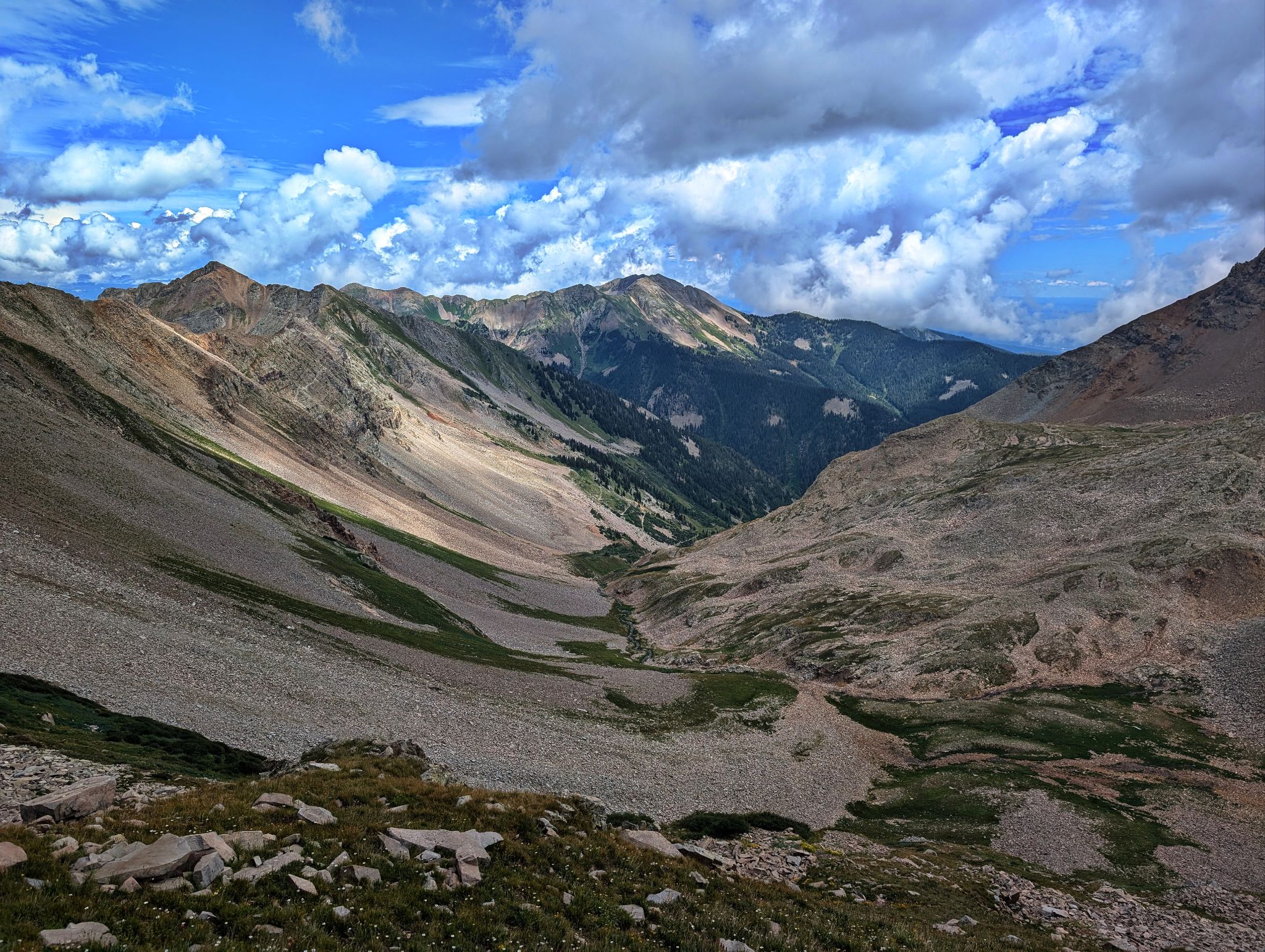
Hiking northwest on the road to the upper basin
![Moss 03]()
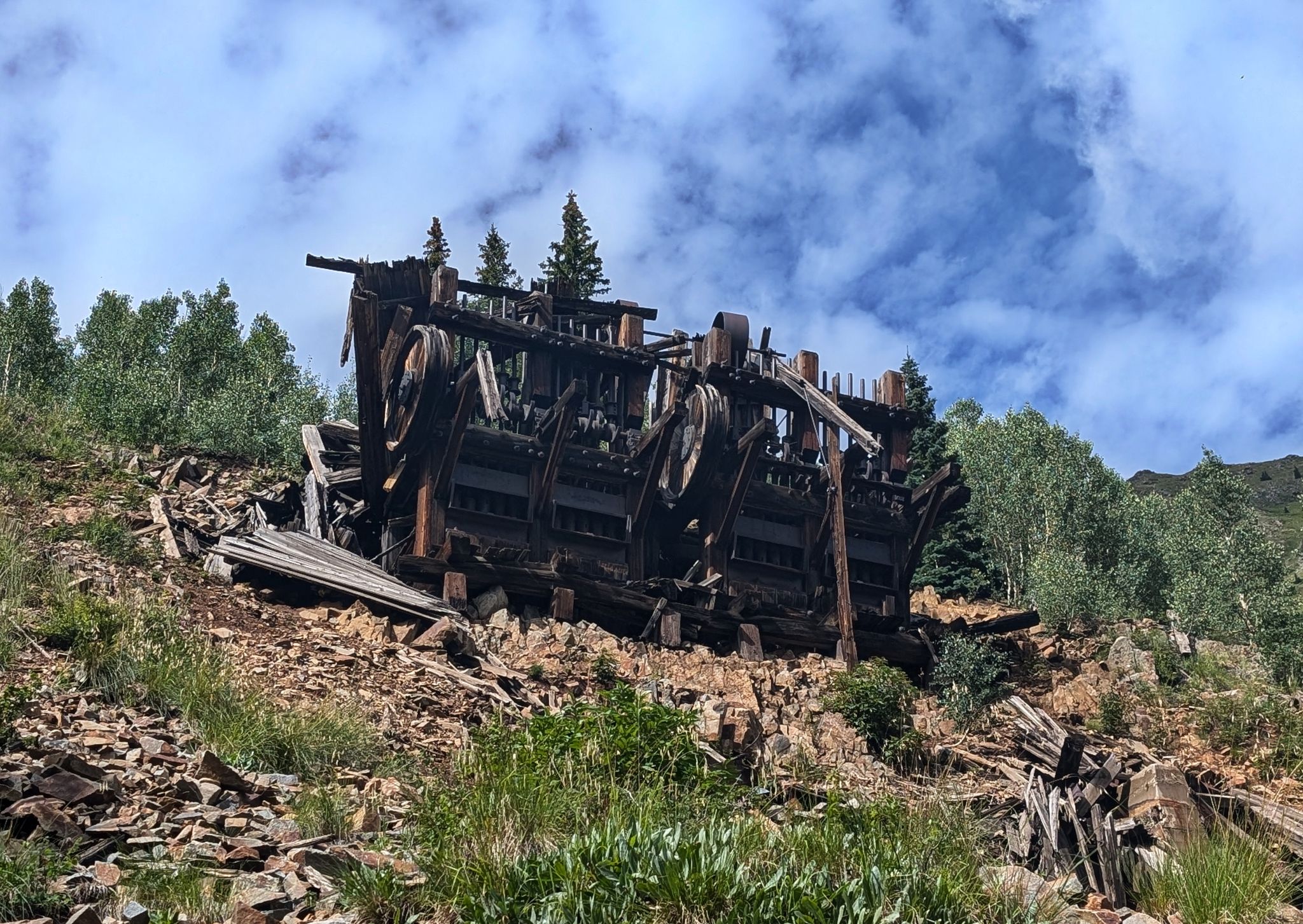
The ruins of Tomahawk Mine
![Moss 04]()
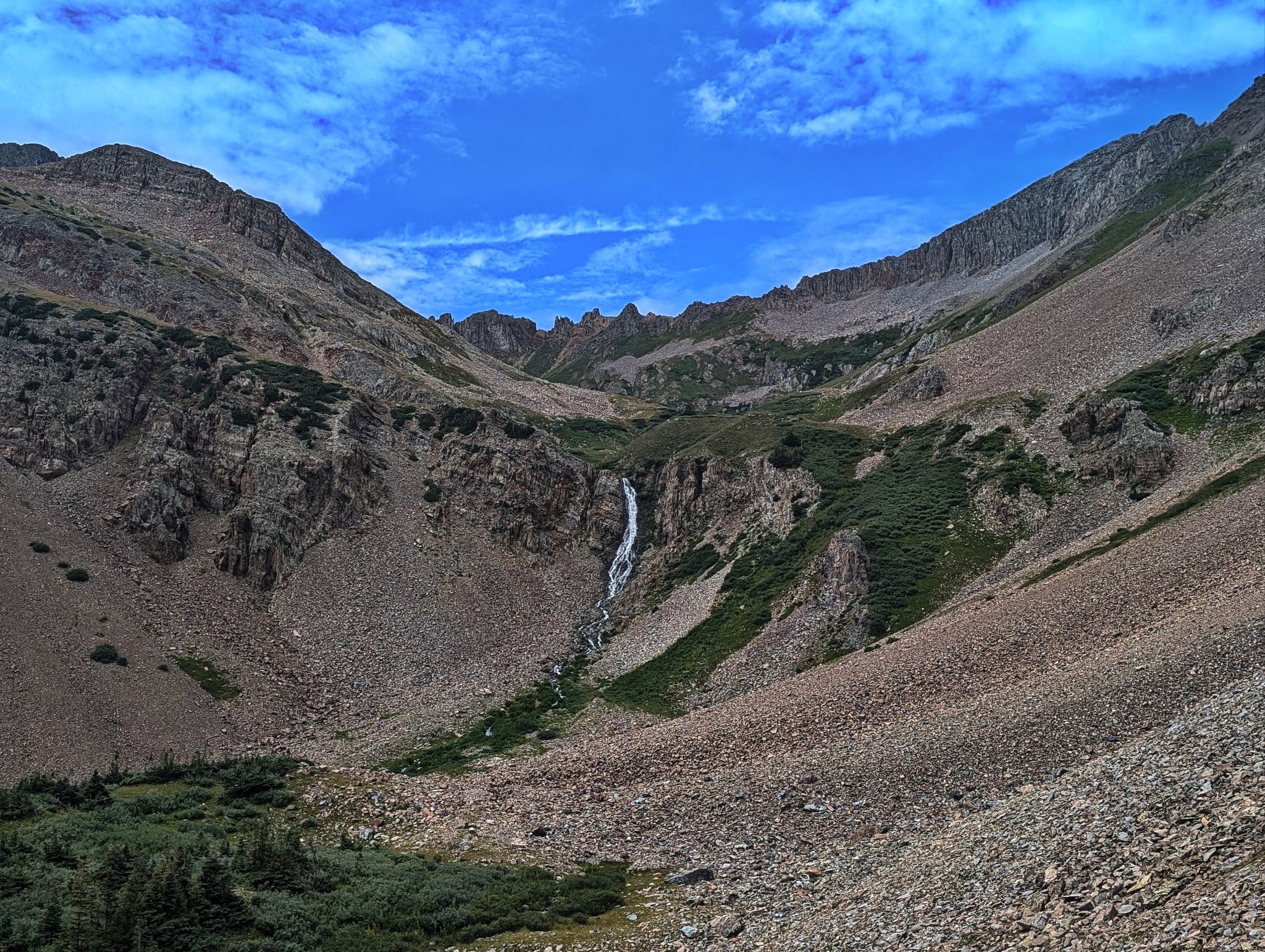
I made my way up some steeper terrain on the right of the waterfall
![Moss 05]()
Babcock comes into view
![Moss 06]()
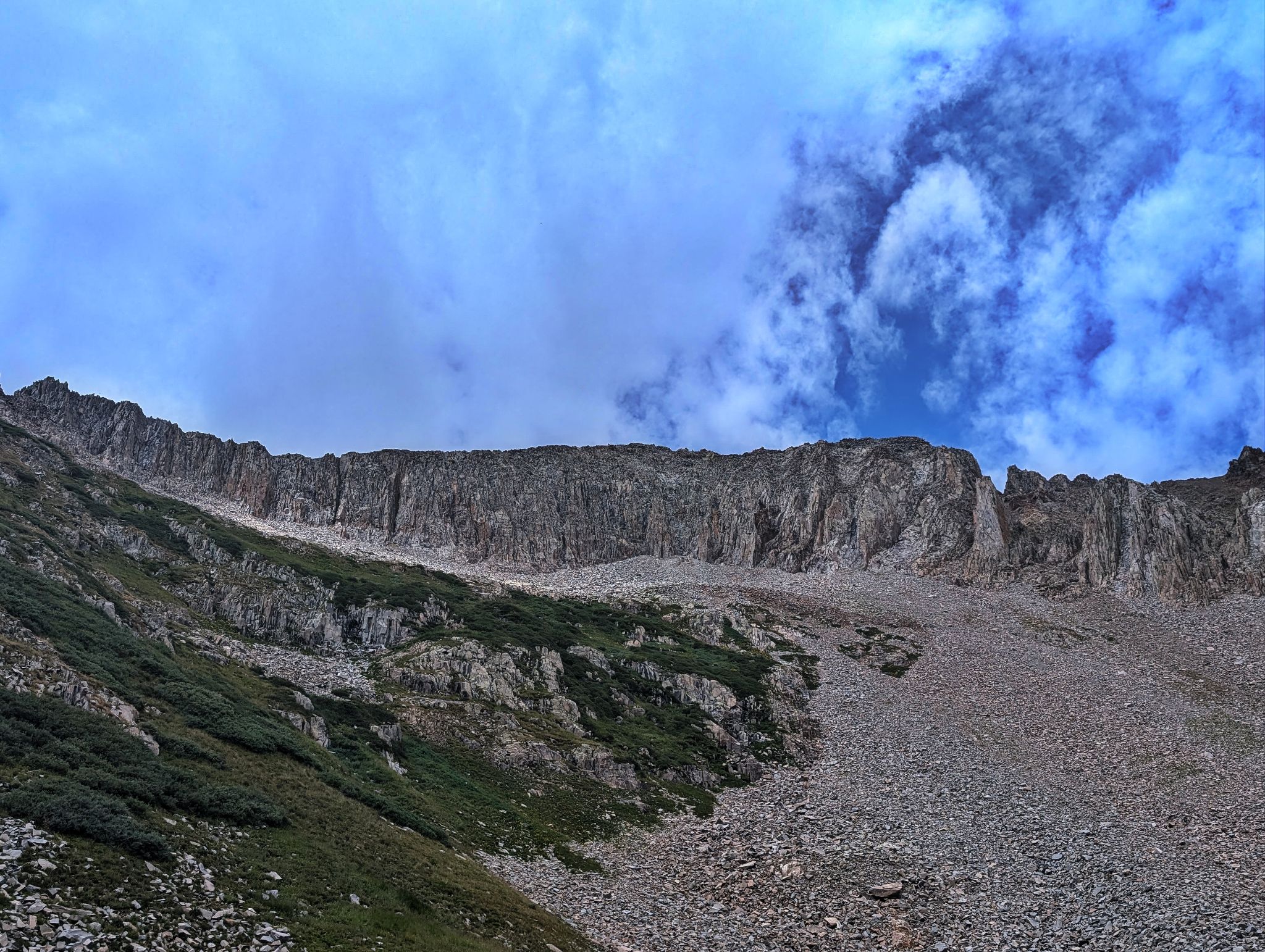
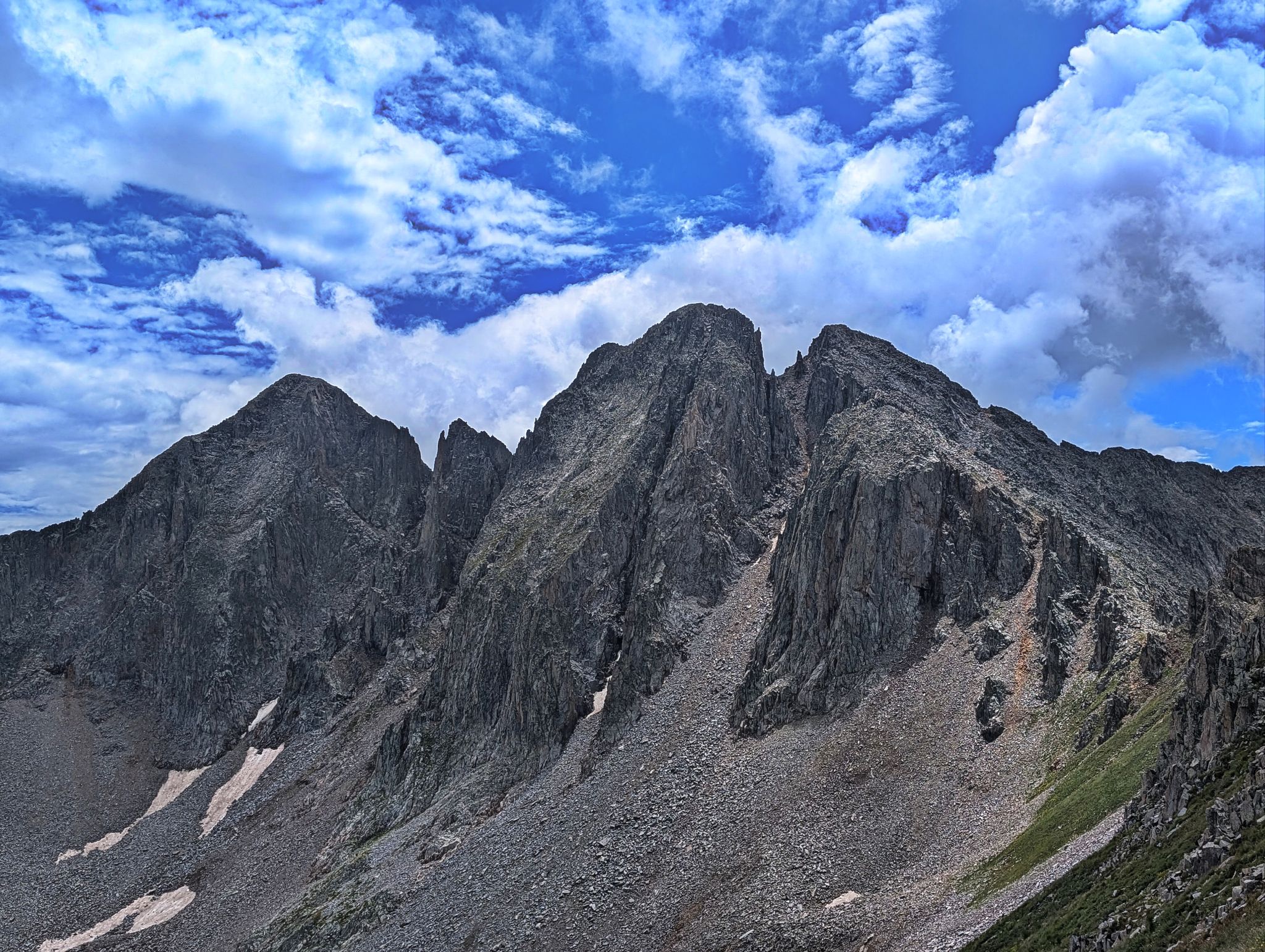
Moss' east ridge
![Moss 07]()
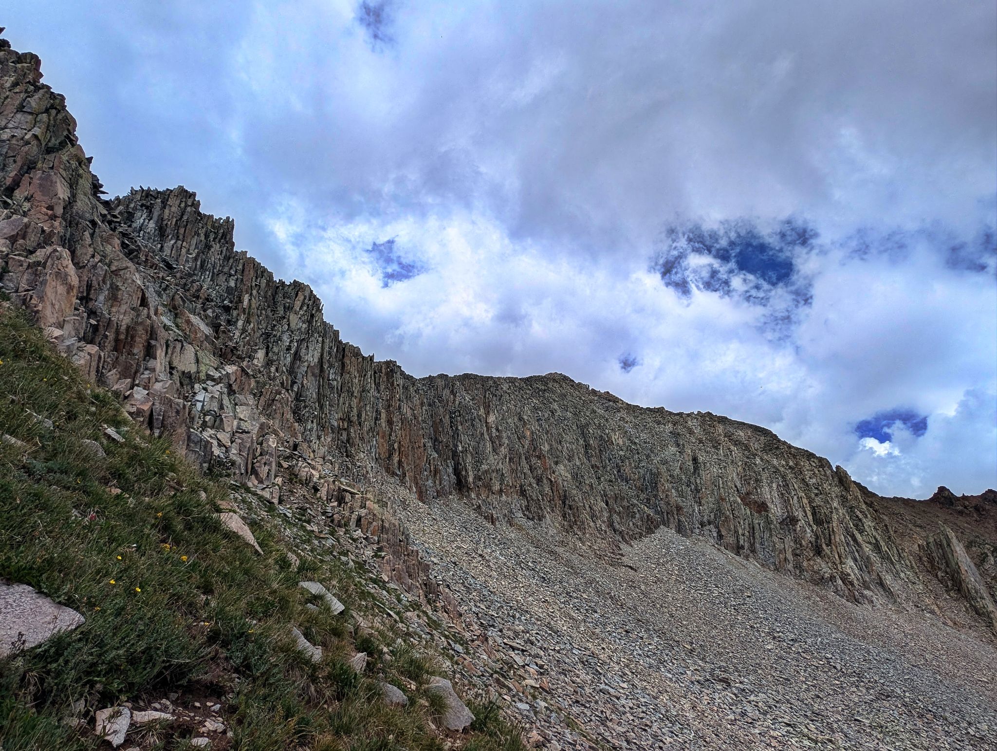
More of Moss' east ridge
![Moss 08]()
Looking up to Moss from the steep grass below the south ridge
![Moss 09]()
Babcock from Moss' south ridge
![Moss 10]()
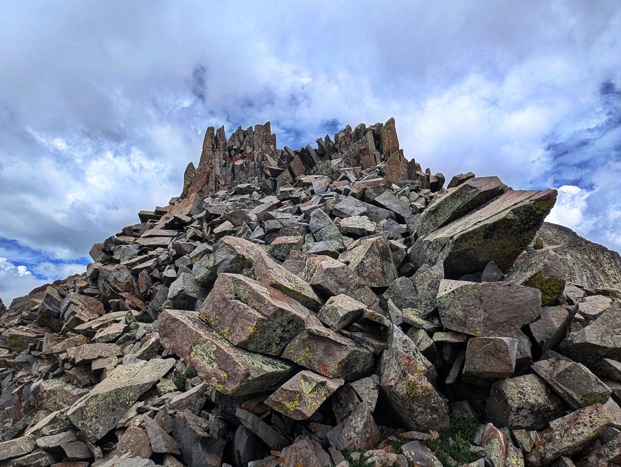
Fun scrambling on relatively solid and blocky terrain
![Moss 11]()
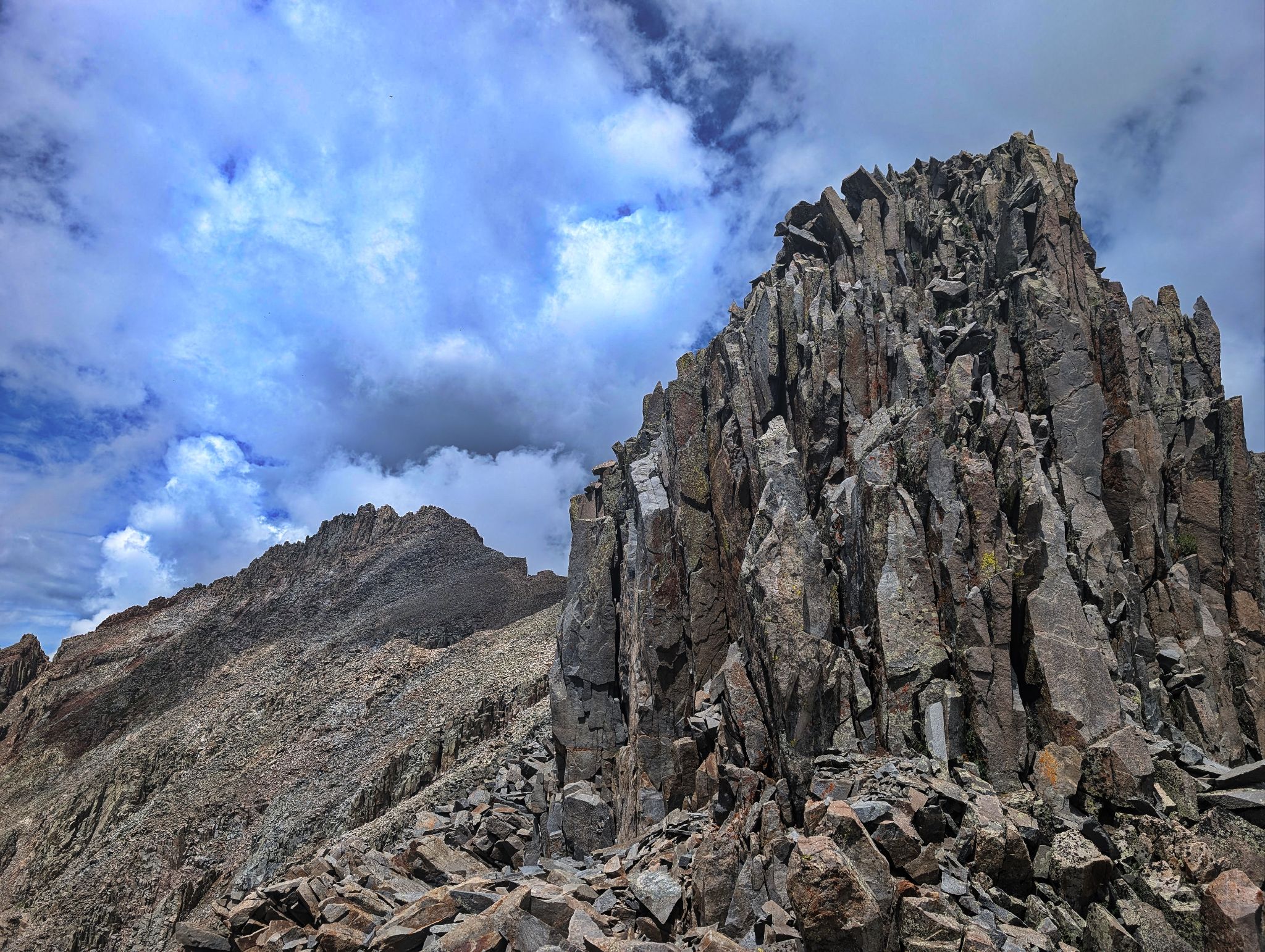
I bypassed this tower on the left. Lavender on the top left
![Moss 12]()
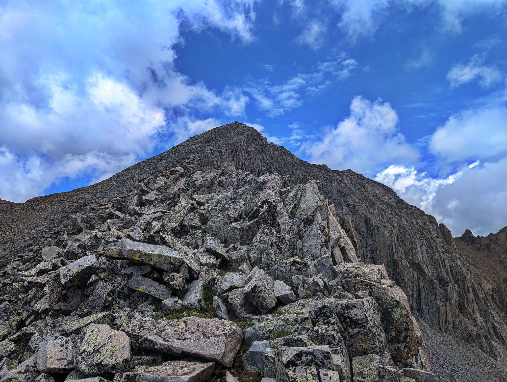
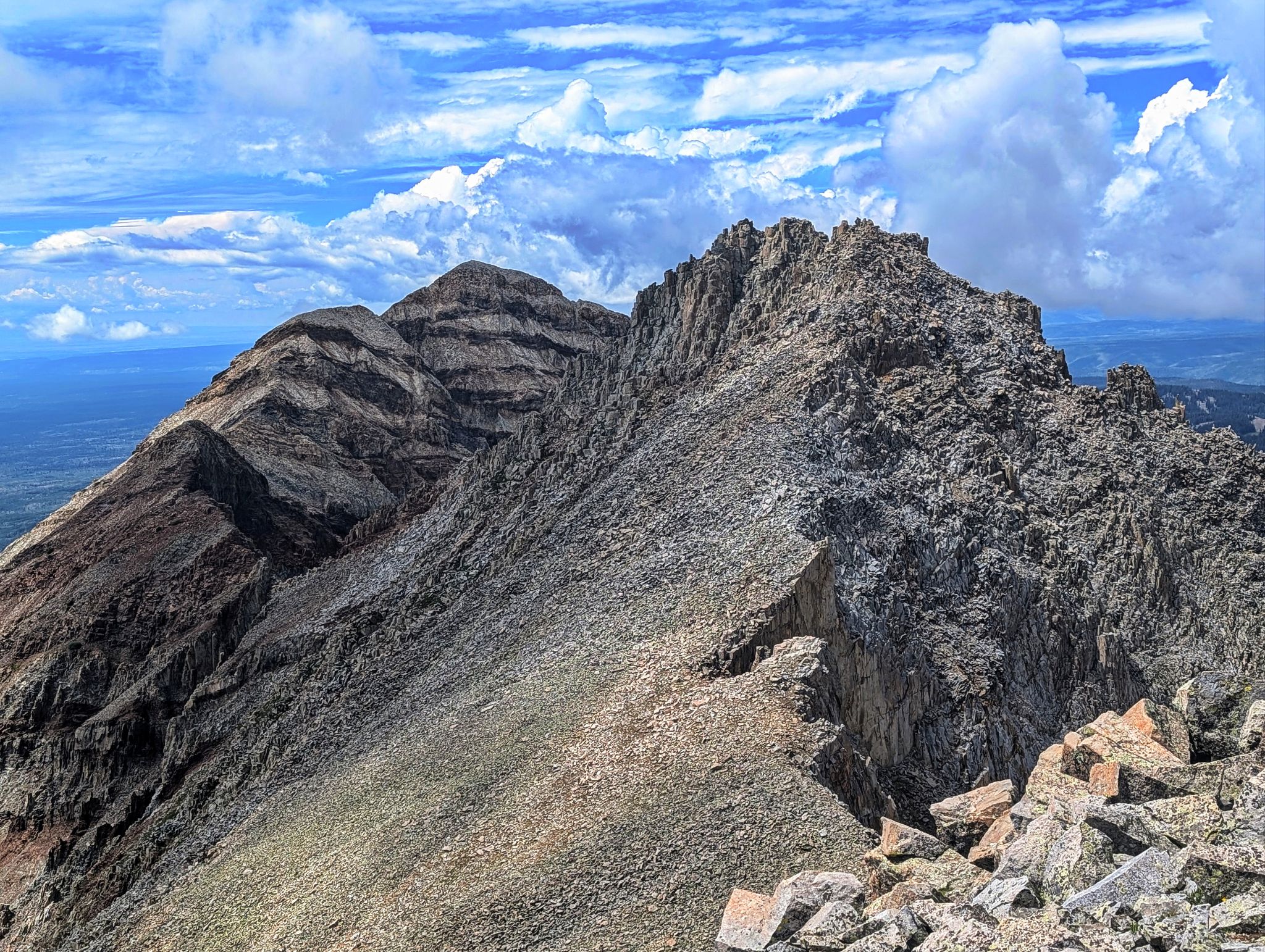
The south ridge to the summit
![Moss 13]()
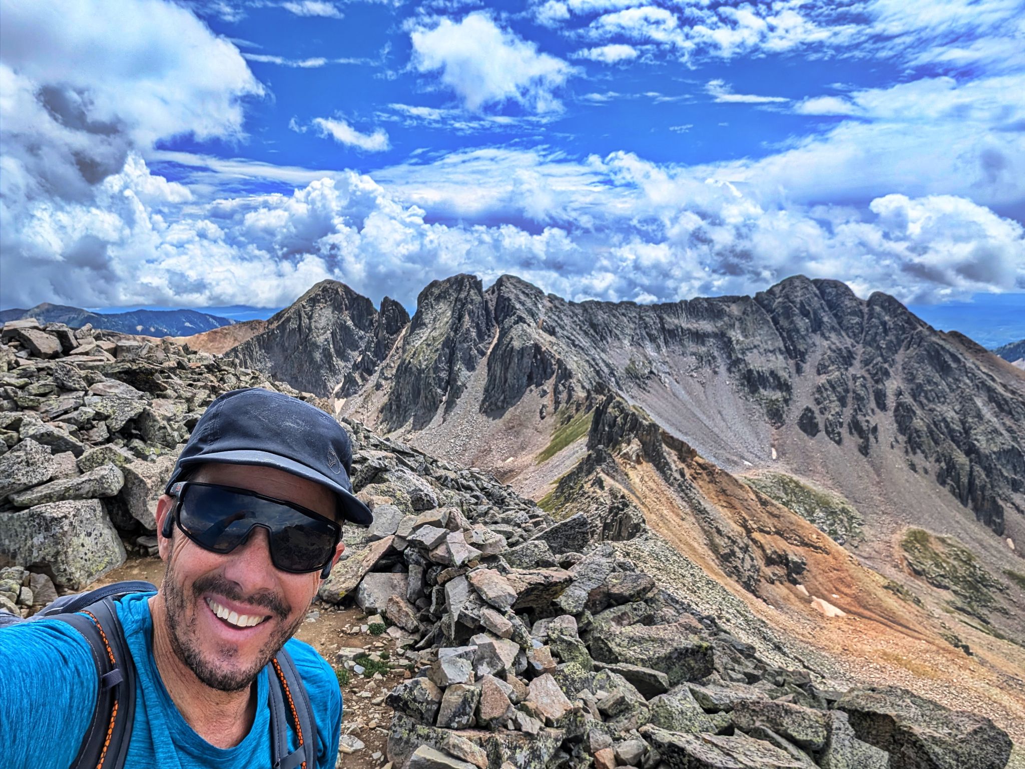
Great summit views of Babcock(L) and 'The Knife' traverse to Spiller
![Moss 14]()
Northwest views to Hesperus, Lavender and Centennial (L2R)
![Moss 15]()
Hesperus and Lavender
![Moss 16]()
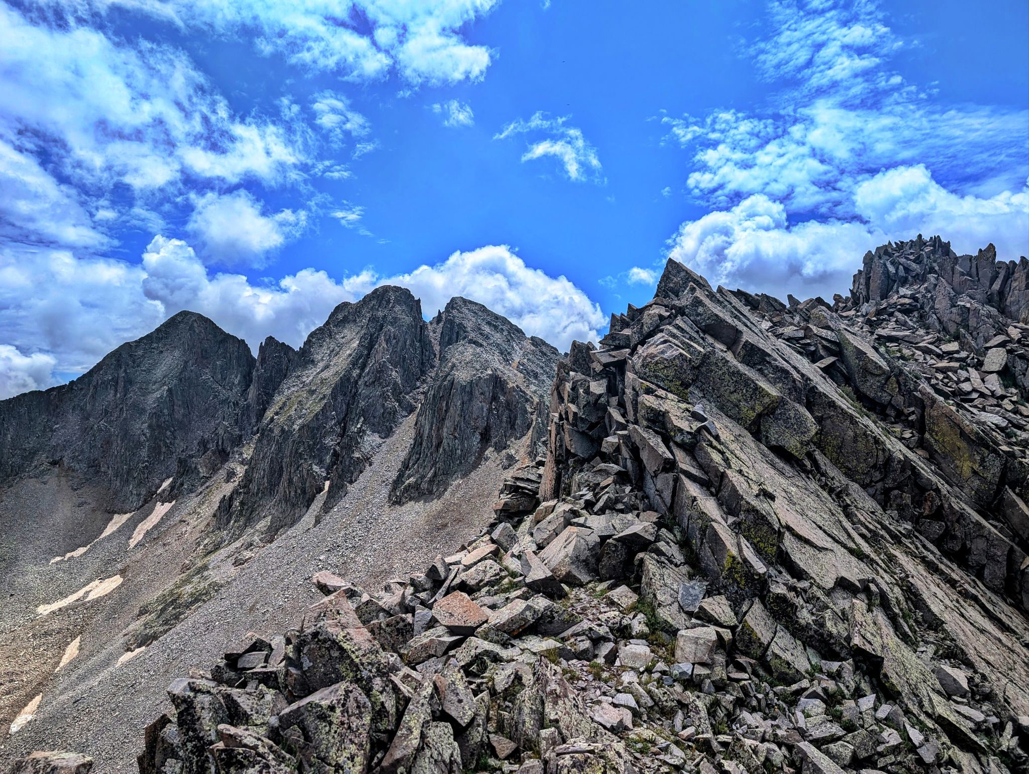
Looking down Moss' south ridge to Babcock(L) and Spiller. 'The Knife' traverse between Babcock and Spiller is a classic not to be missed
![Moss 17]()
Babcock
![Moss 18]()
I retraced my step through Tomahawk basin back to the truck