Babcock to Spiller
The Knife
Date: 08/16/2024
Partner: Solo
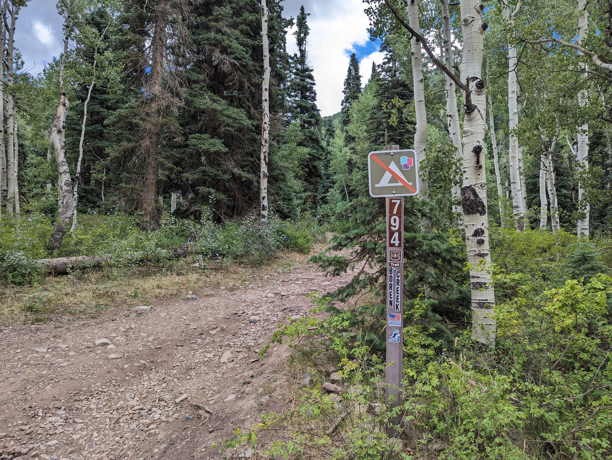
Trailhead: Boren Creek TH (4x4 if you want it)
Distance: 6.8m
Elevation Gain: 3900ft
Duration: 8hrs
GPX
Babcock Peak 14ers.com Page
Spiller Peak 14ers.com Page
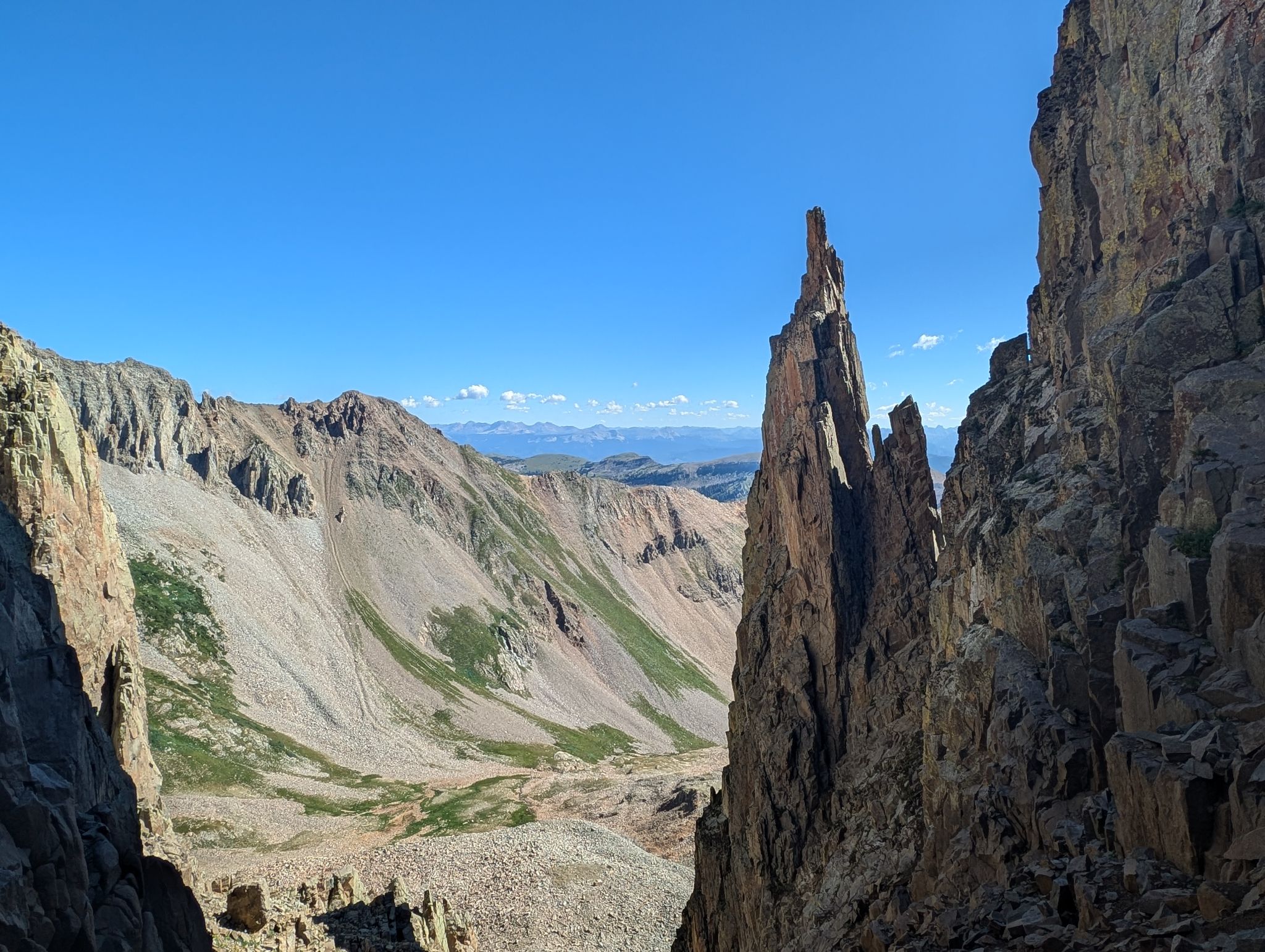
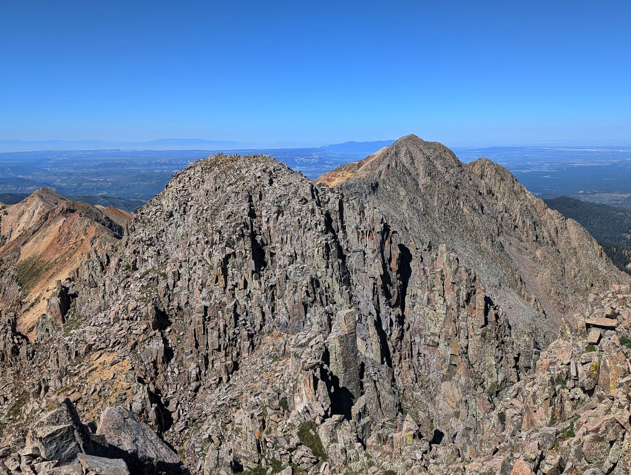
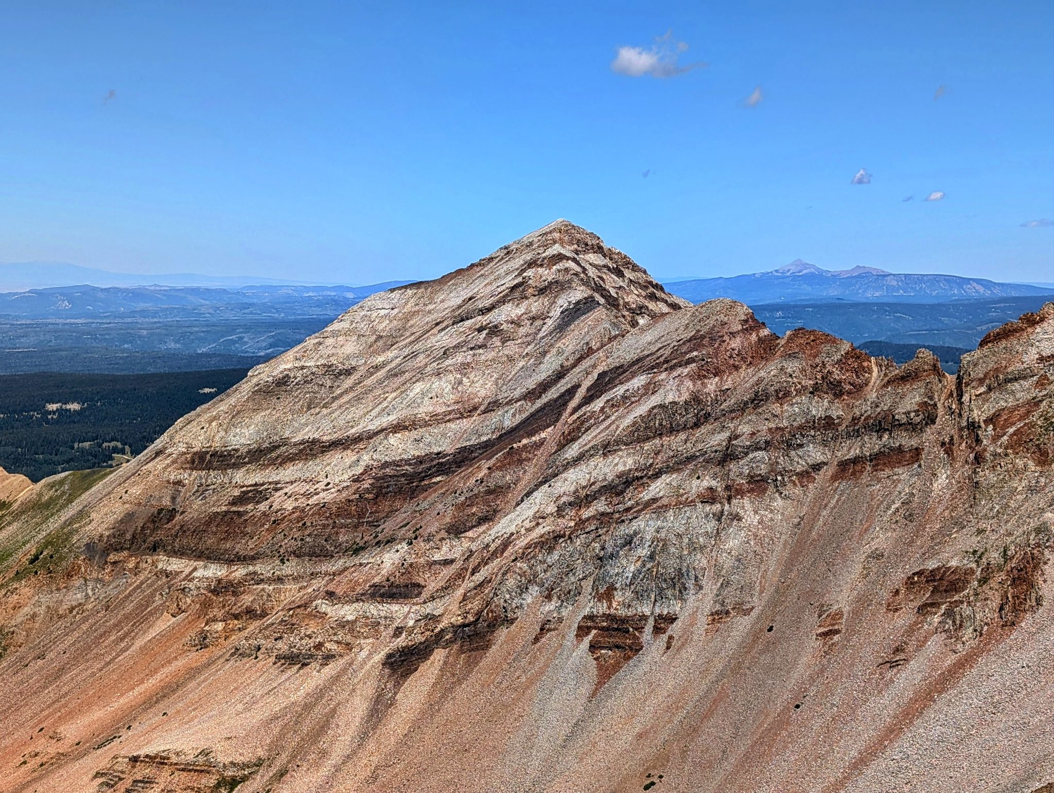
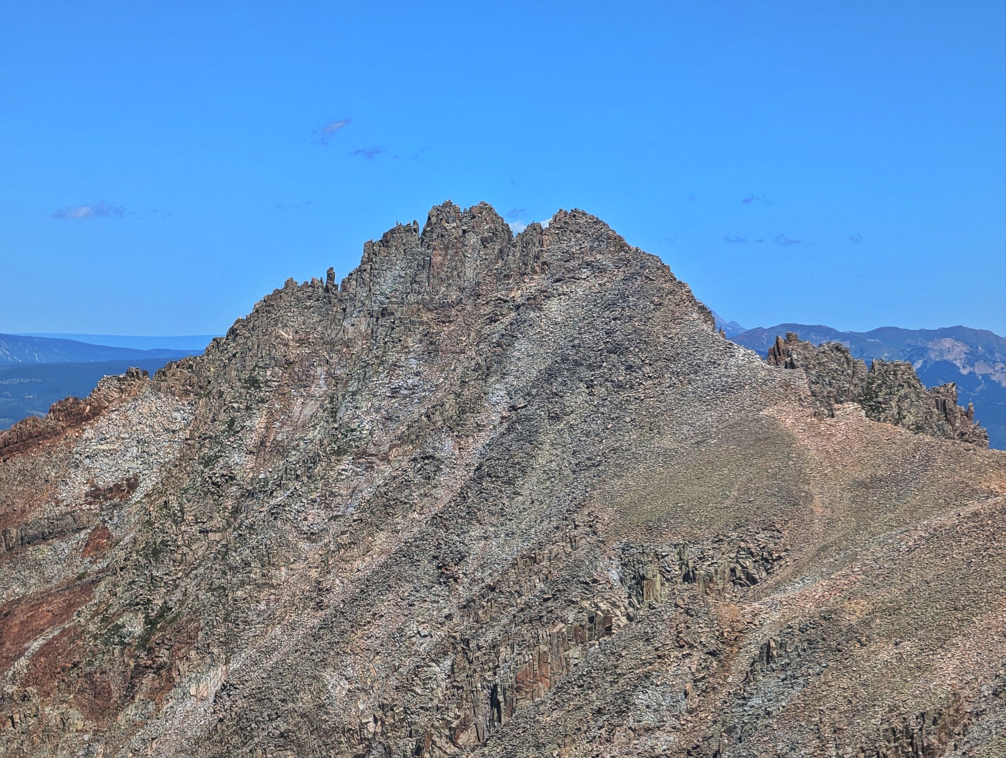
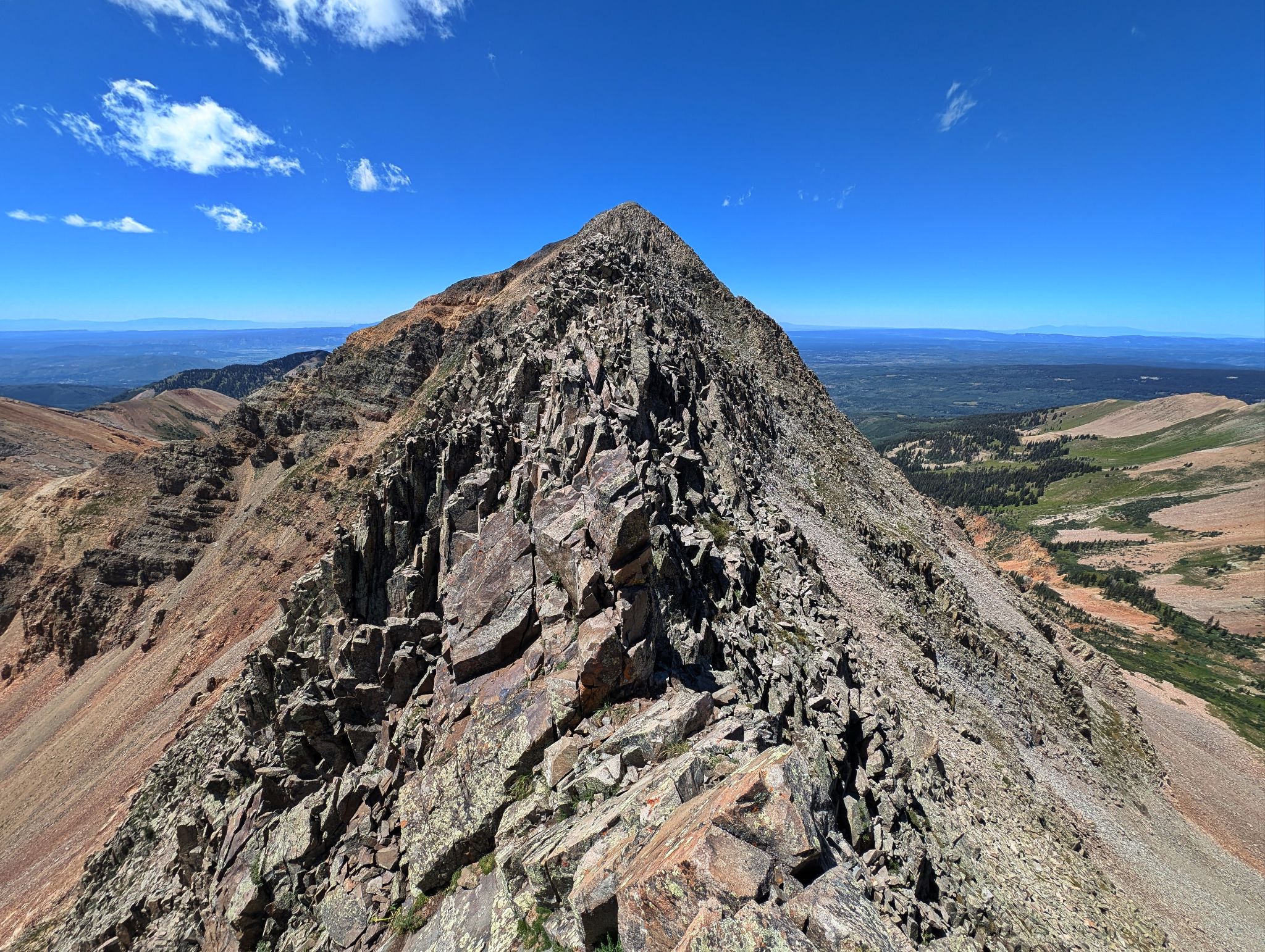
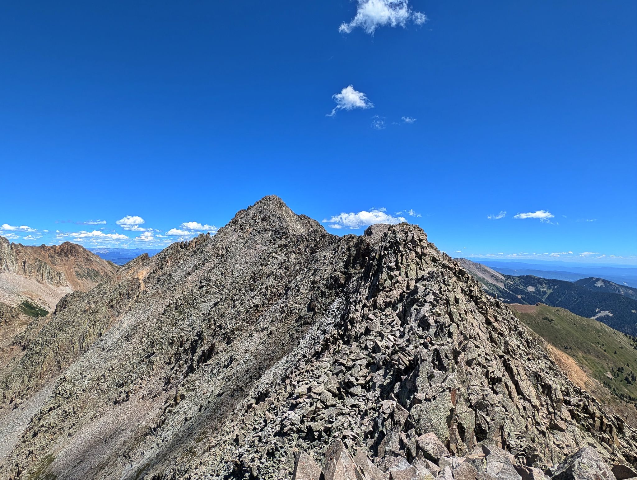
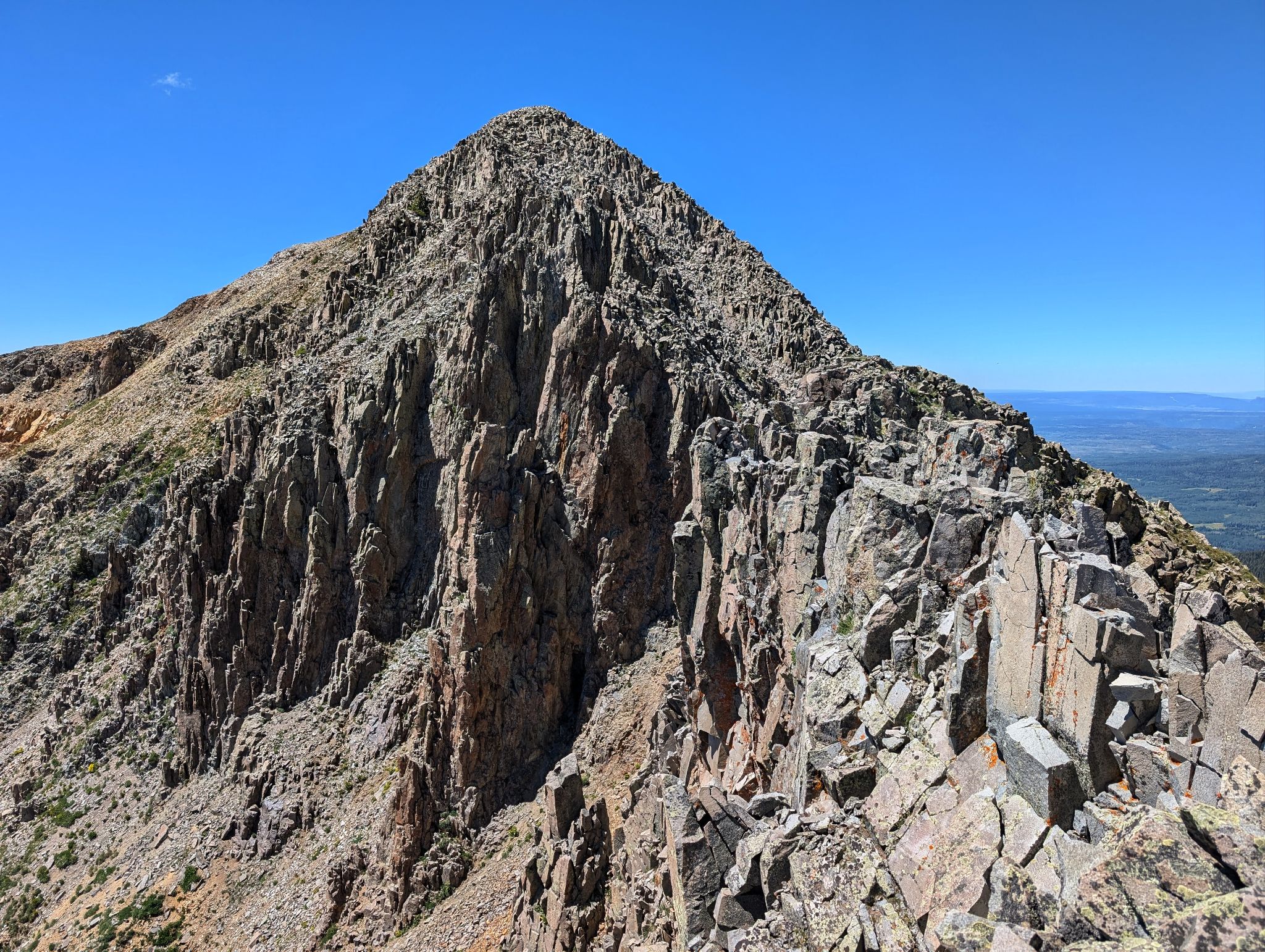
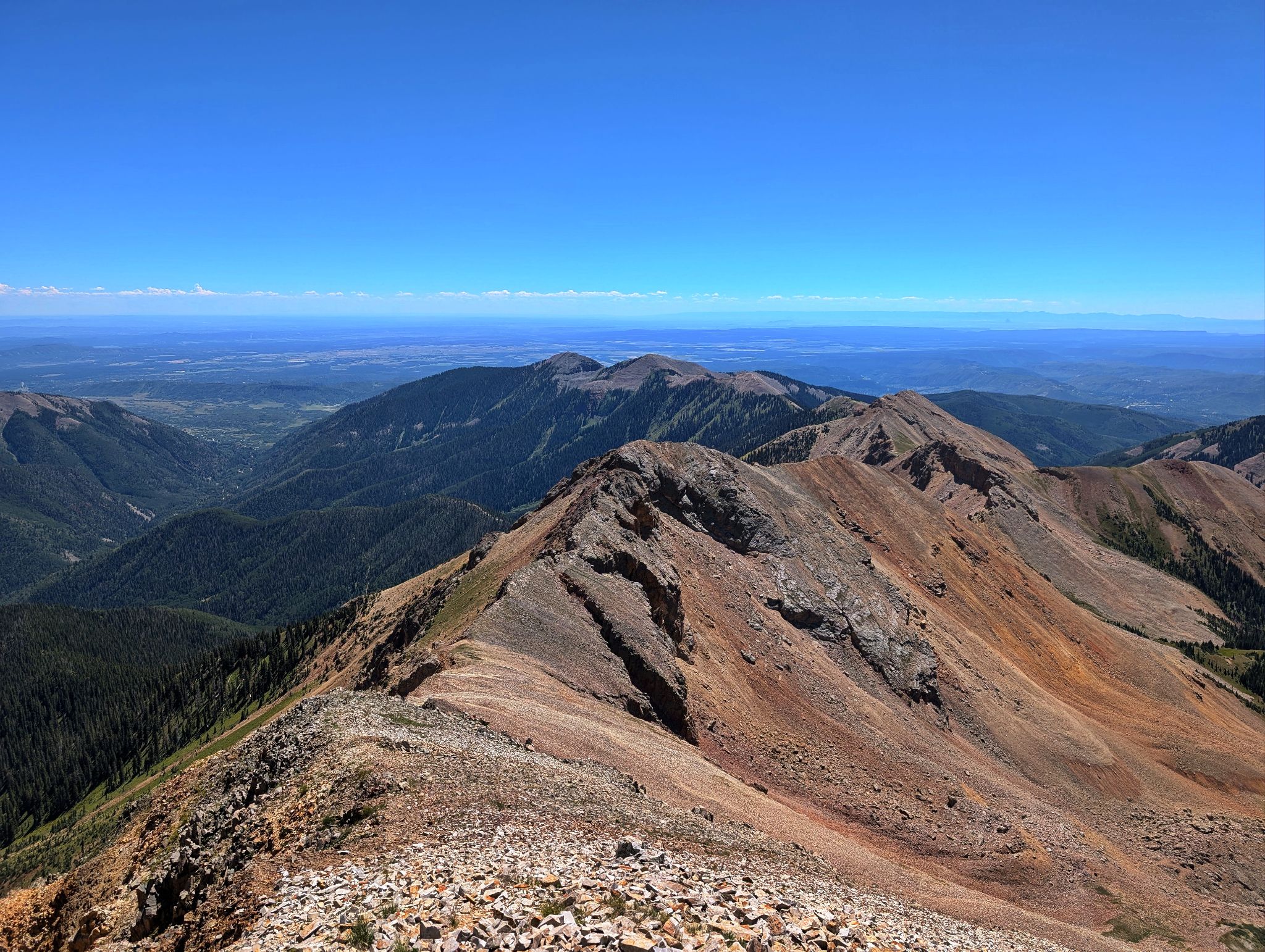
The Babcock-Spiller traverse (aka The Knife) is a top tier 13er traverse... it is as good as any I have done.
After less than a mile of four wheeling up 794, I walked a couple more miles to the basin below Babcock and Spiller.
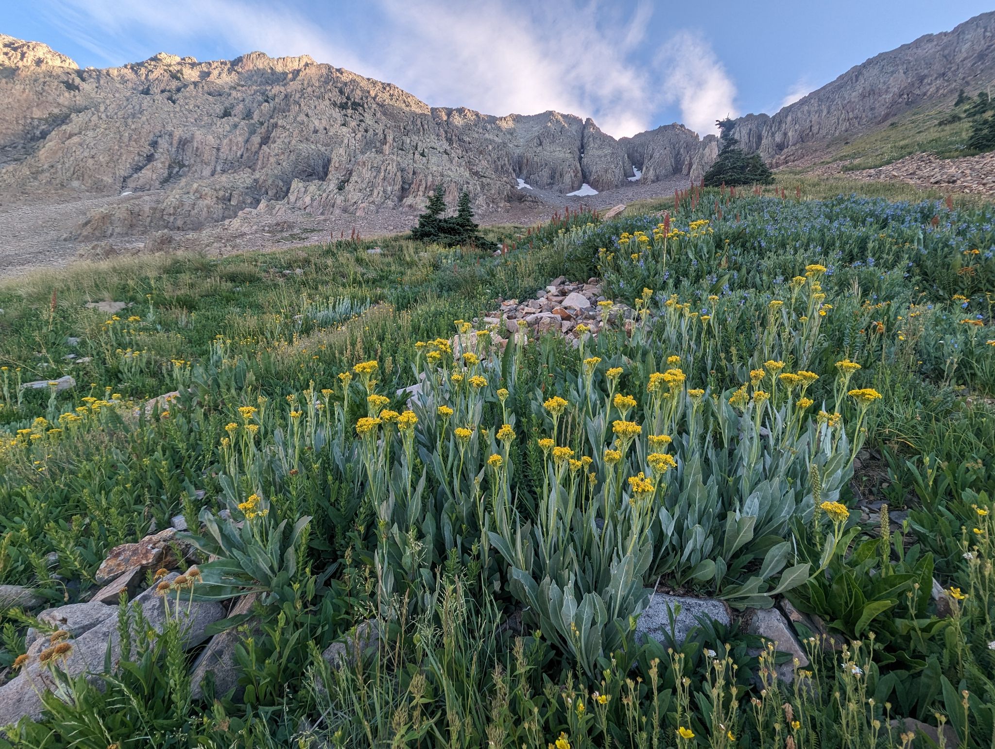
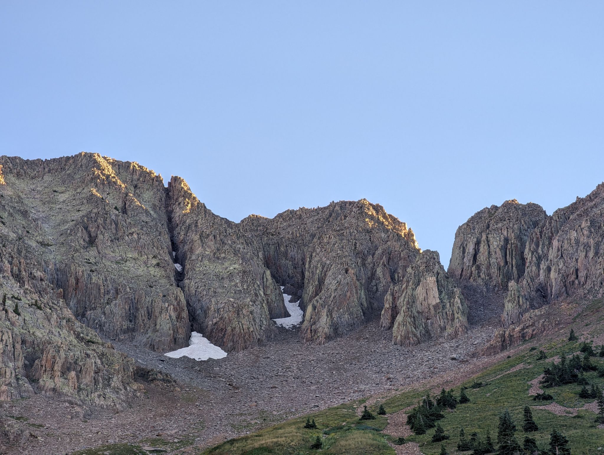
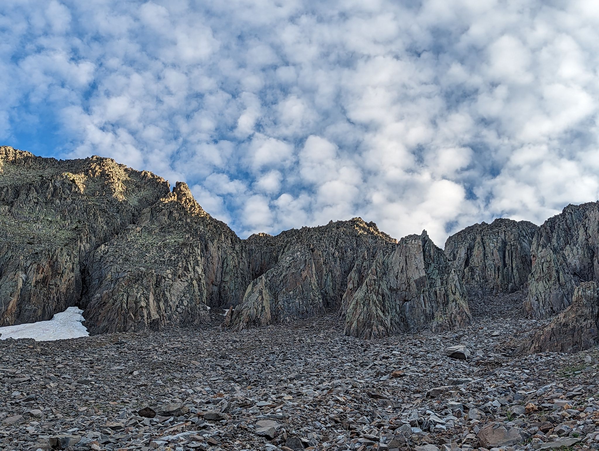
From there it was moderately tedious talus to the base of the couloir that separates Babcock and East Babcock.
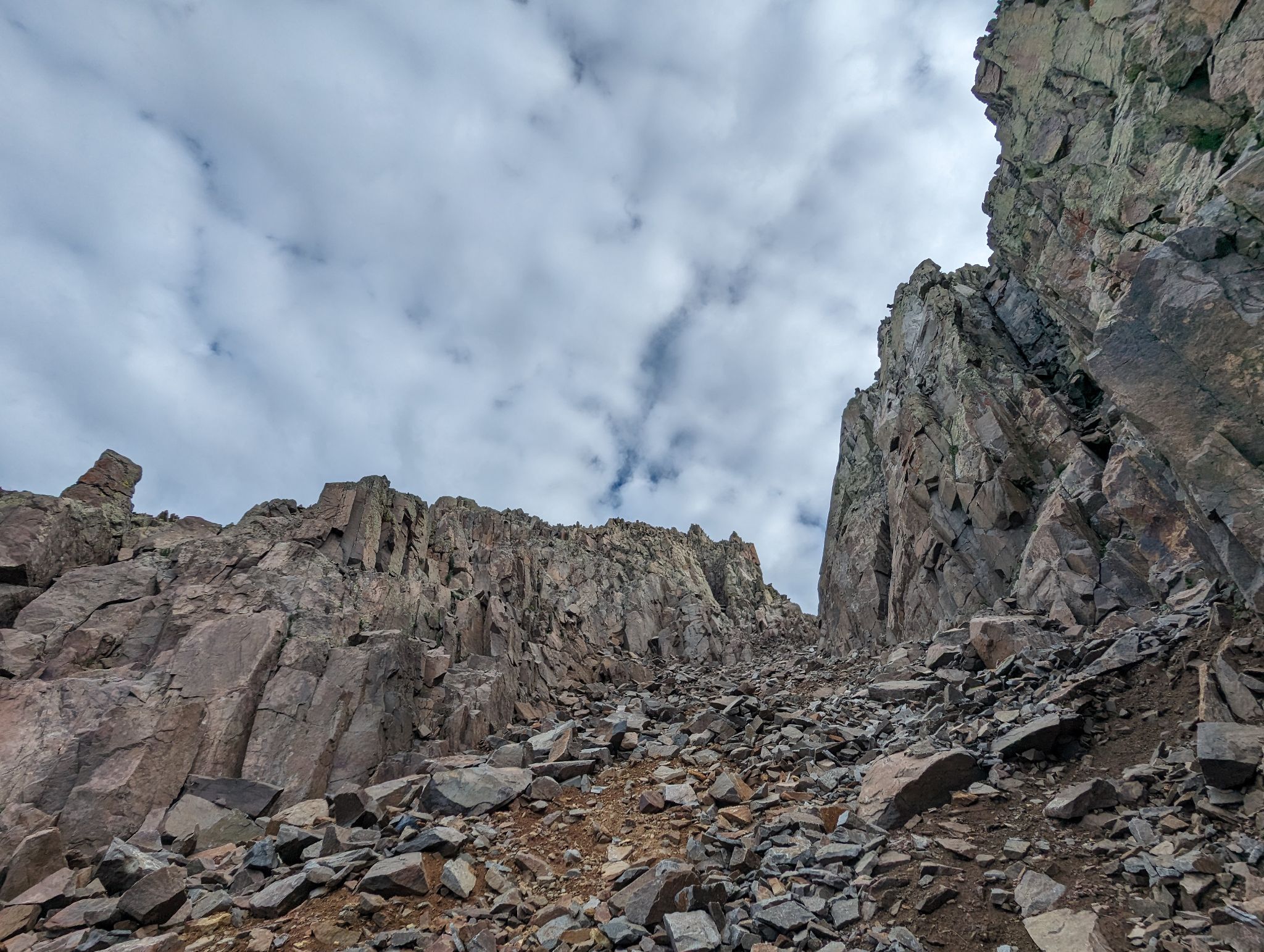
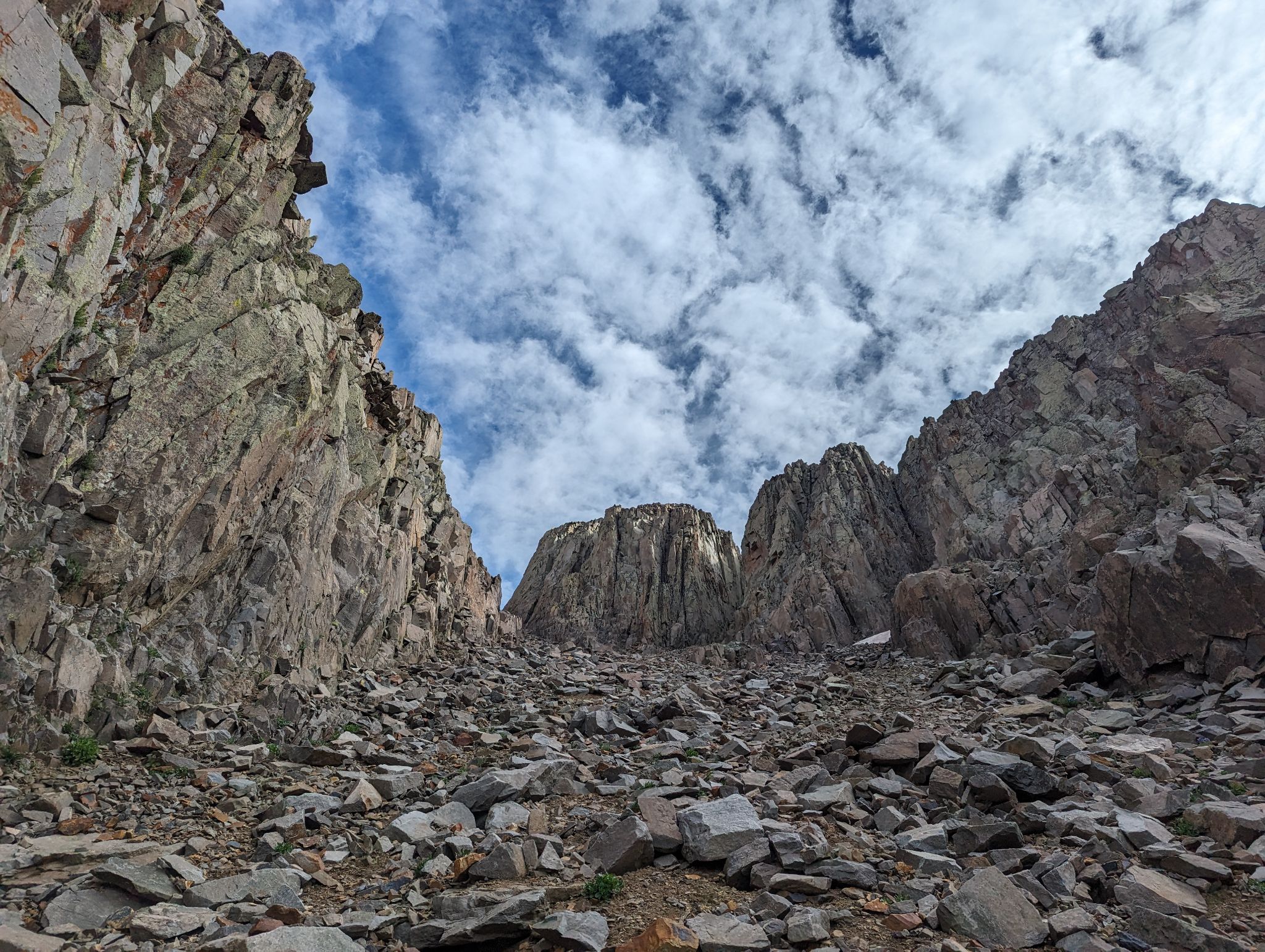
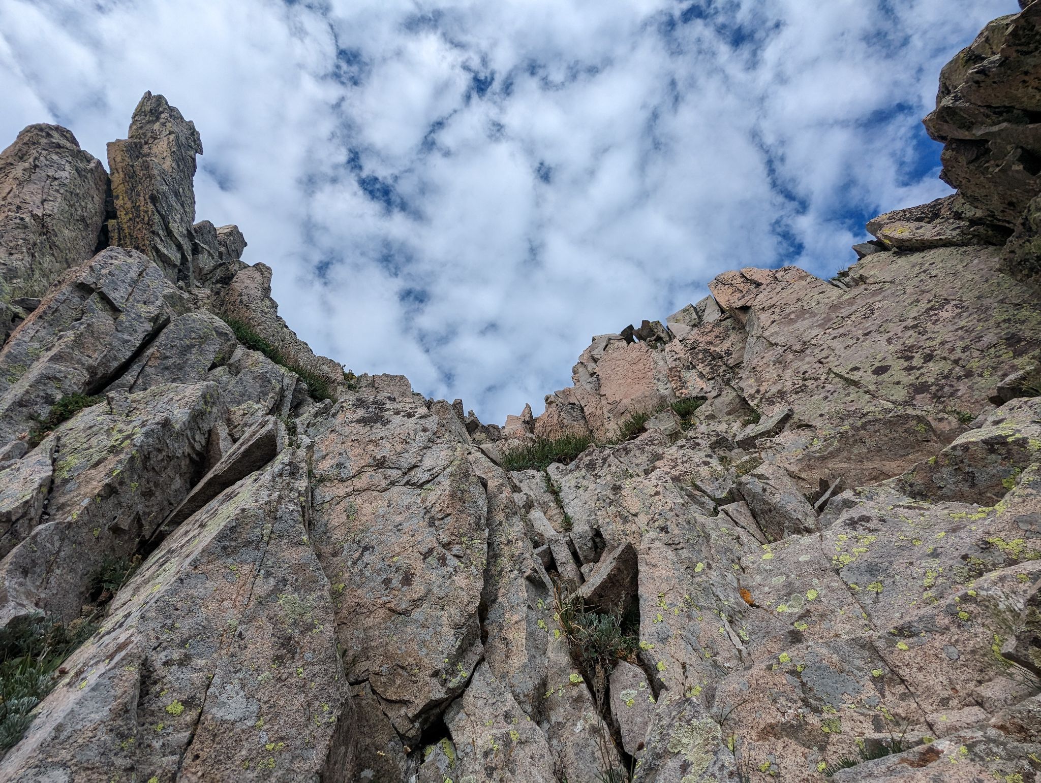
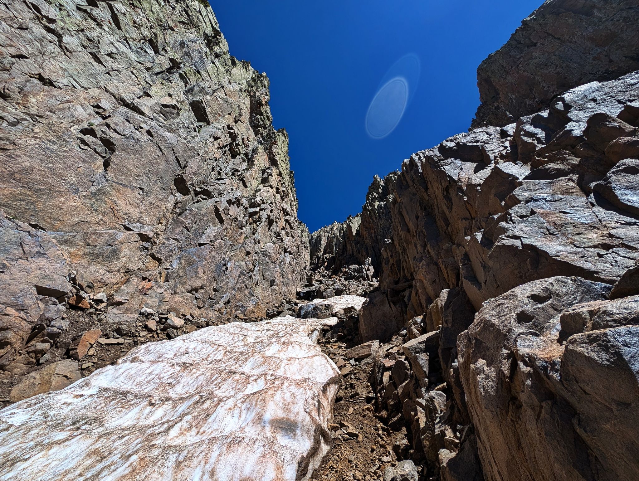
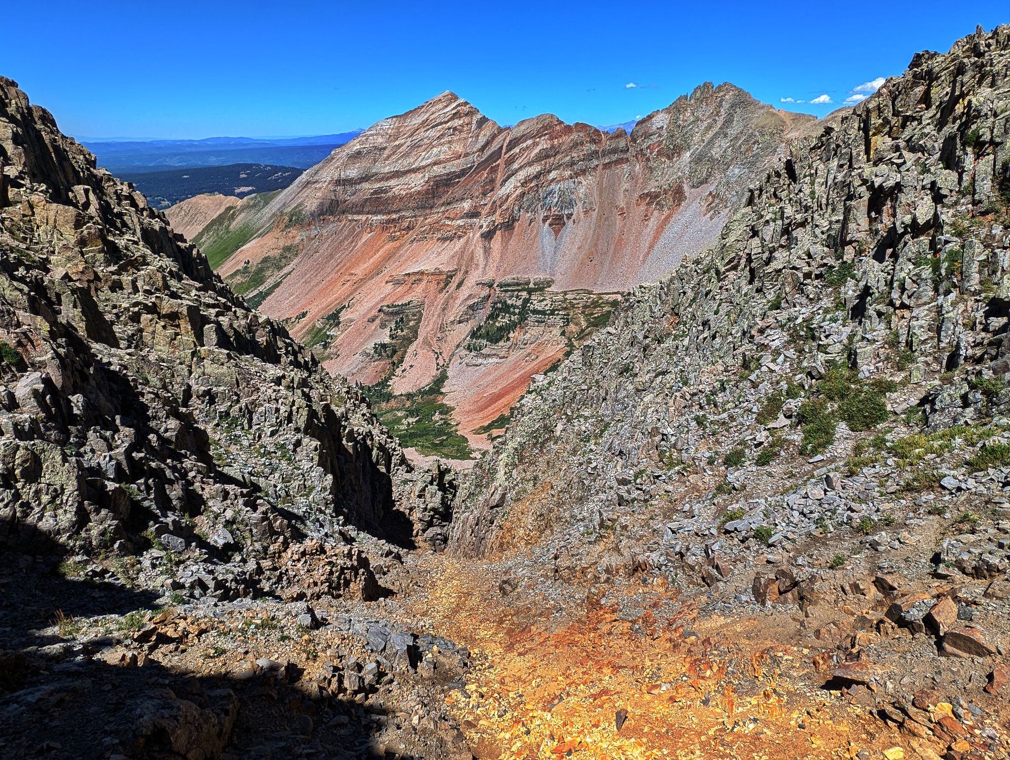
The couloir to the base of Babcock's summit block is solid enough if you stay on either side.
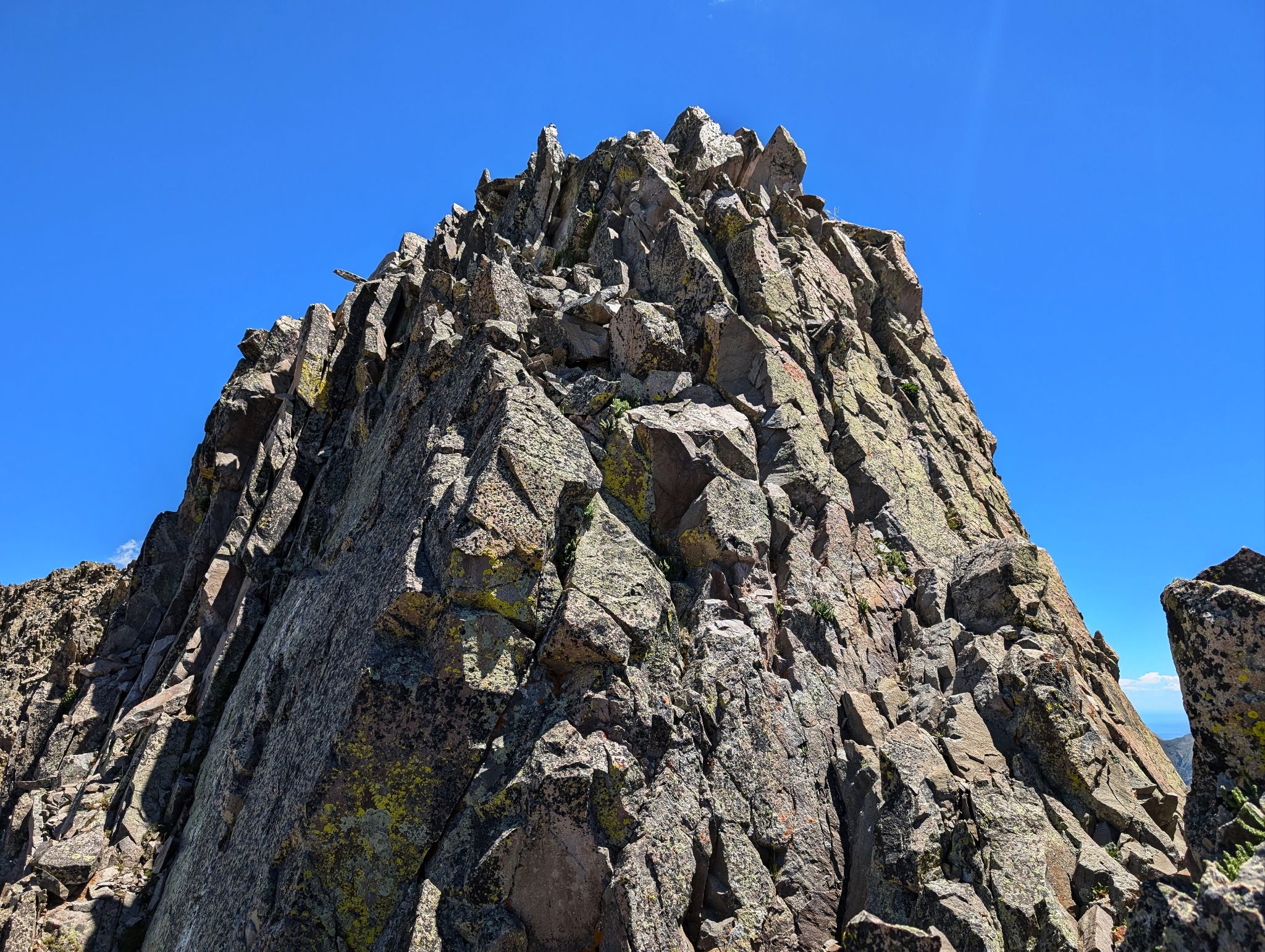
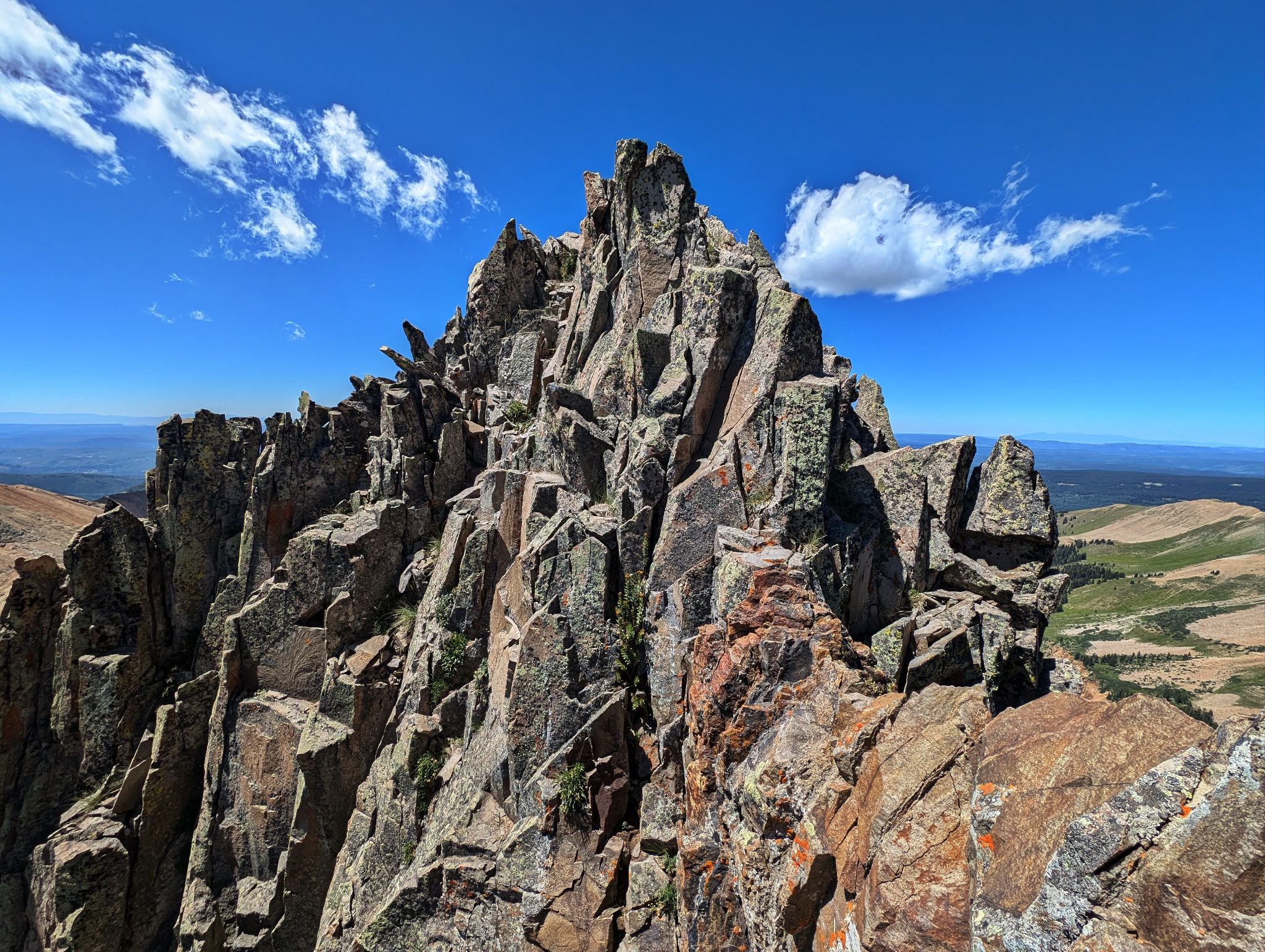
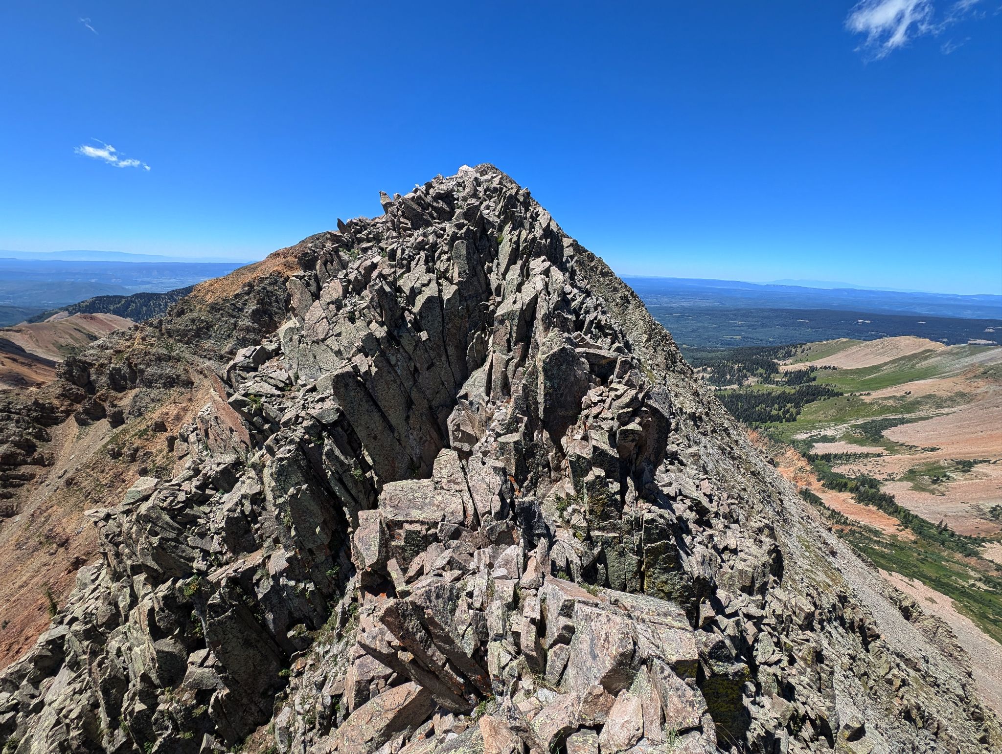
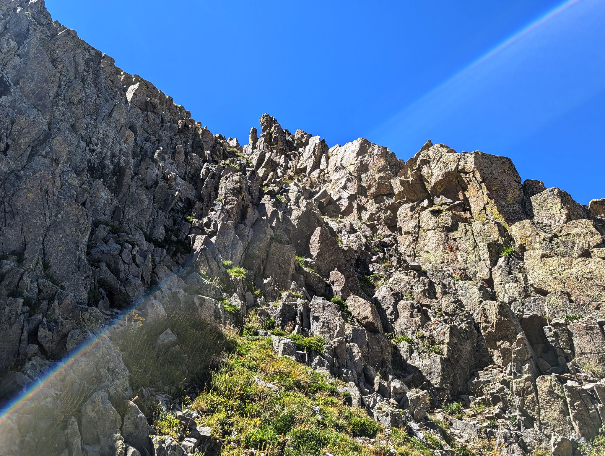
The scrambling from the top of the couloir to Babcock's summit is steep, navigational and fun... the rock is solid.
From Babcock's summit, you can either rappel to the notch that separates Babcock and West Babcock OR retrace your steps down Babcock's summit block, descend a connecting gully to the west couloir and climb that couloir to the base of the rappel. Note: if you don't rappel there are a couple of low 5 moves required. The scramble from the top of the notch to West Babcock's summit is easy 3.
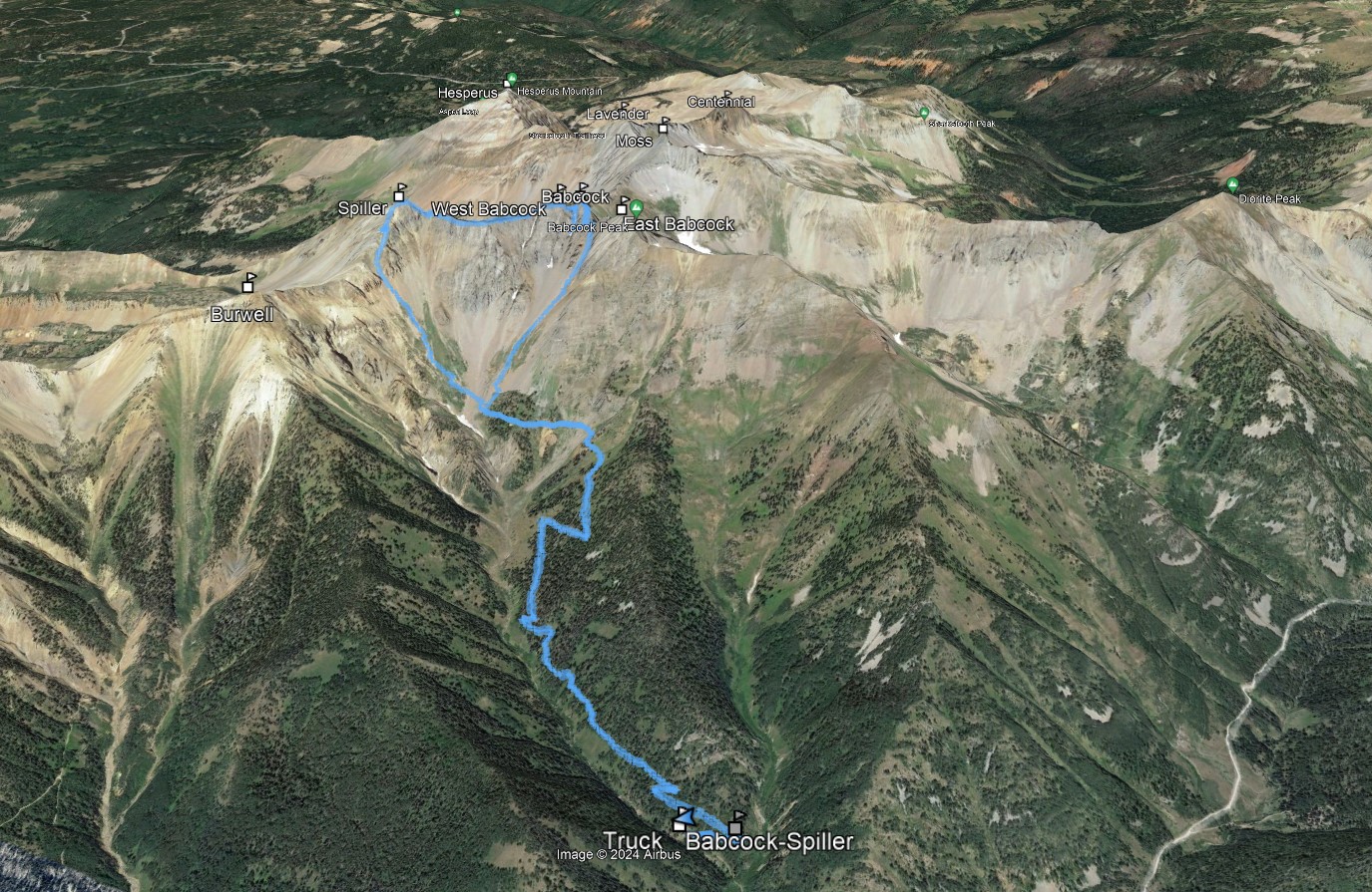
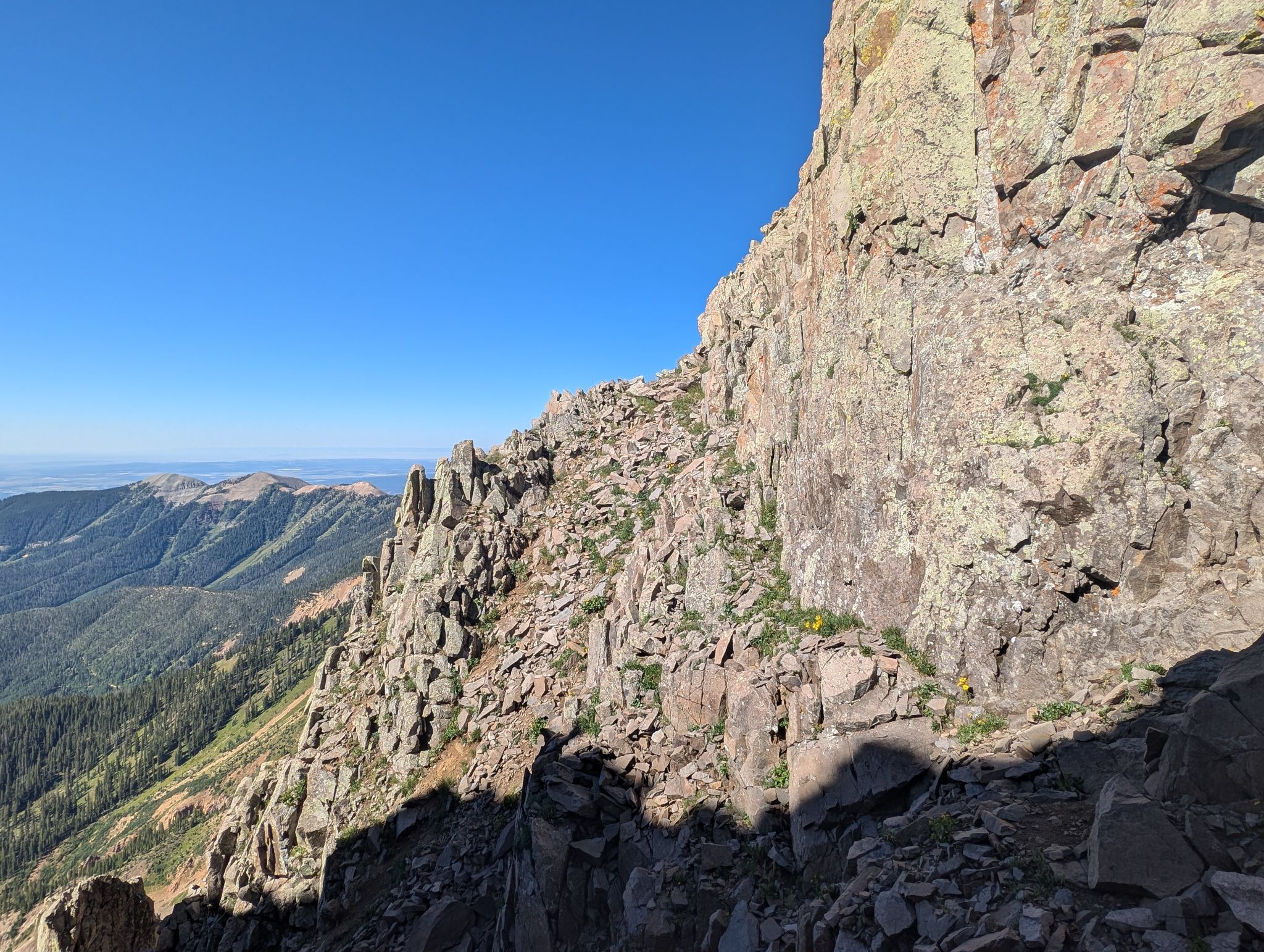
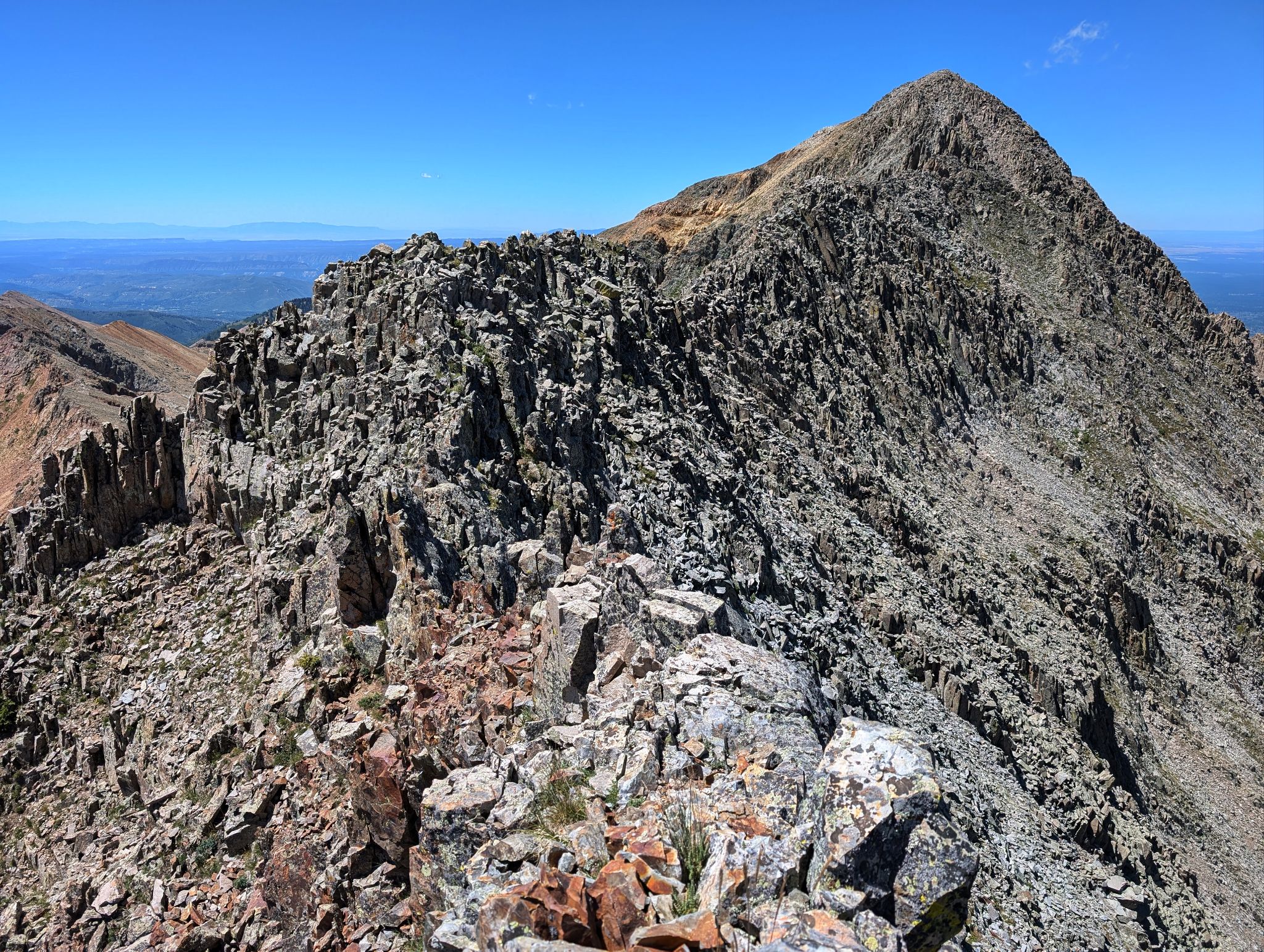
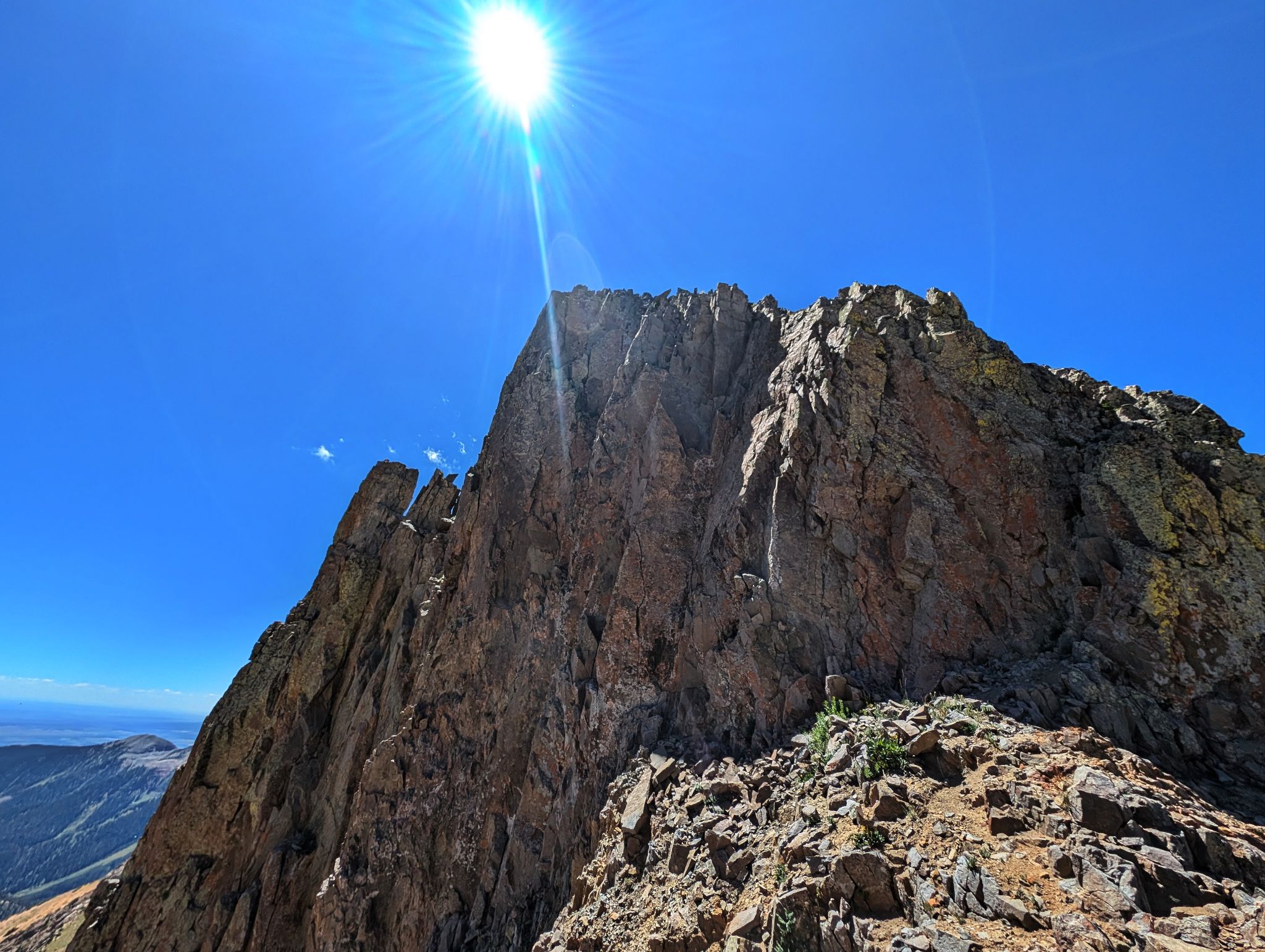
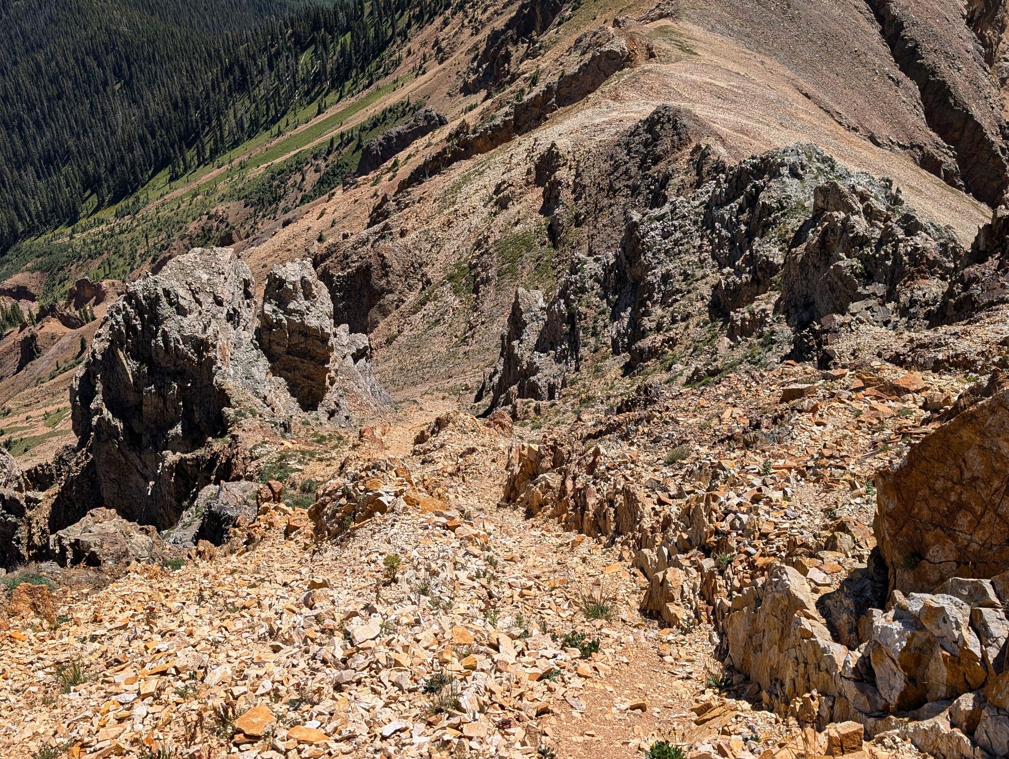
The Knife traverse is consistent class 3/4 on solid rock with significant exposure. There is plenty of micro route finding but staying the ridge is the general rule. My watch had issues so my GPX track is wonky... take it with a grain of salt.
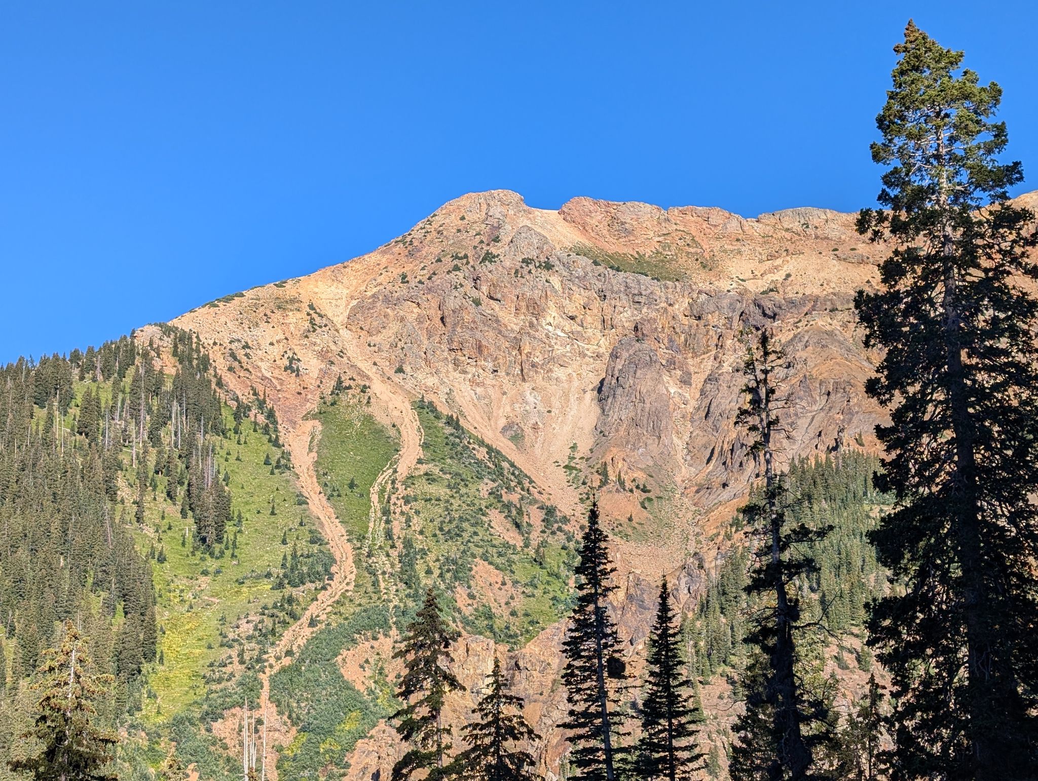
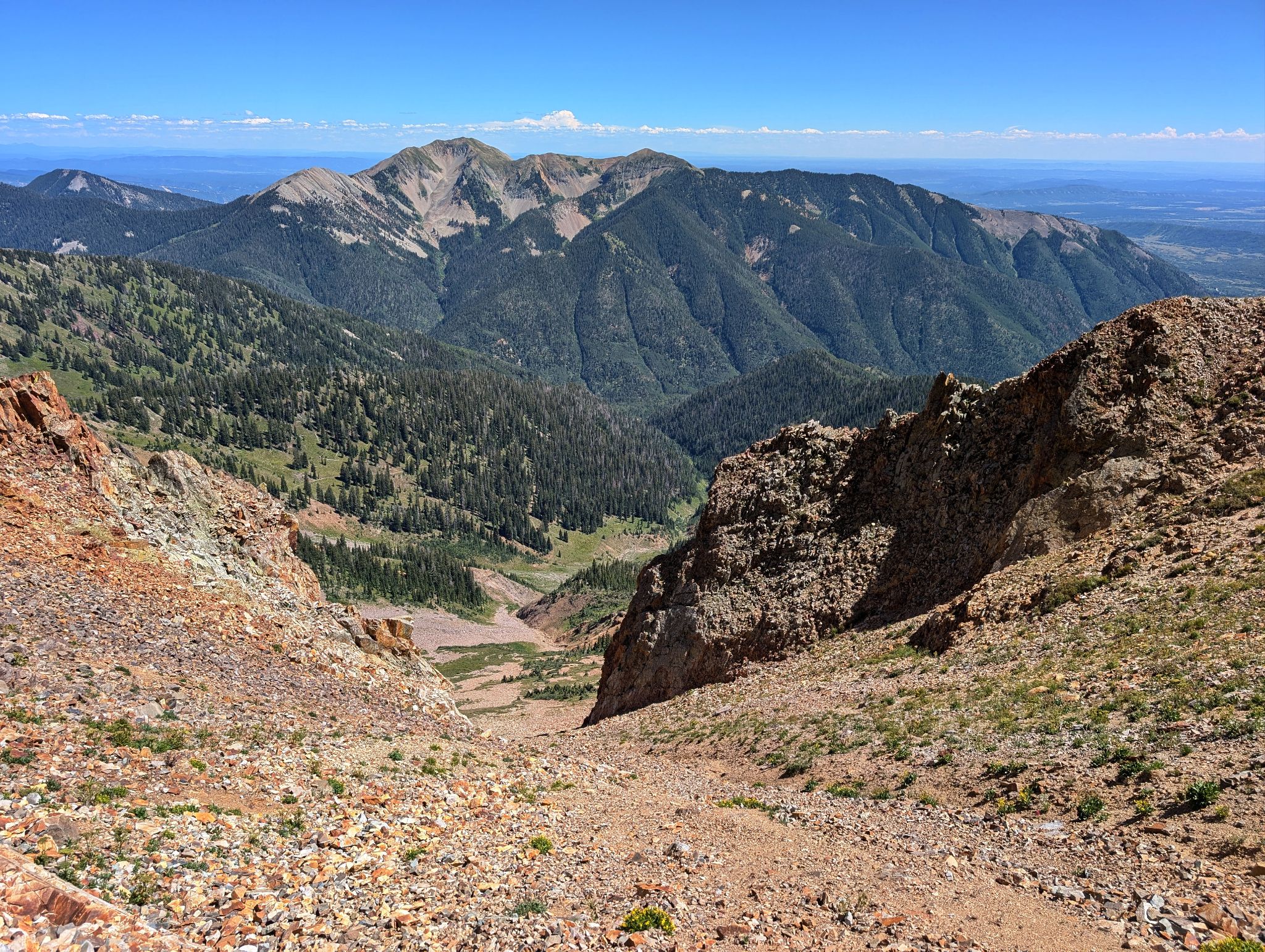
My only issue with this route is the descent off of Spiller to the road... a mix of hard pan, glory surfing, baby heads etc. Maybe continuing to Burwell is better? Gibbs?
Don't miss this one!
Fun Fact: Great spring coulie skiing in this zone!
![Babcock peak 01a]()
6.8m - 3950ft - 8hrs (watch issues today... track is wonky... numbers may be a little off too) Also... stick to ridge on traverse... track seemed to have stopped and erroneously shows dropping off ridge
![Babcock peak 02]()
I drove up 794 a short ways and started hiking. Should have driven to the parking spot just below the gate. There is a level parking spot there and it would have been easier to turn around
![Babcock peak 03h]()
Burwell from the road
![Babcock peak 04]()
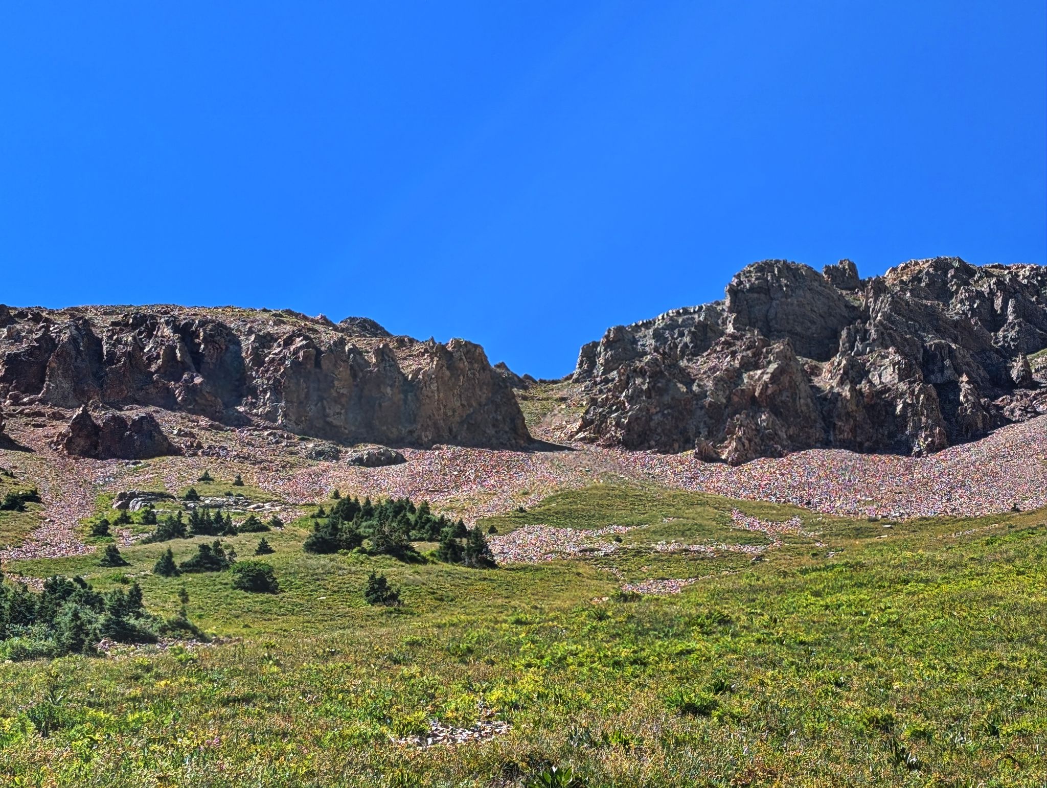
Looking up the rocky basin to Babcock
![Babcock peak 05]()
Follow the larger couloir on the right
![Babcock peak 06]()
yep... the one on the right
![Babcock peak 07]()
![Babcock peak 08]()
rocky terrain
![Babcock peak 09]()
![Babcock peak 09h]()
A view north from the top of the gully
![Babcock peak 10h]()
I took this ramp to steep, scrambly and solid terrain
![Babcock peak 11e]()
Fun class 3 to the summit. West Babcock on the left
![Babcock peak 11h]()
Nice solid rock
![Babcock peak 12i]()
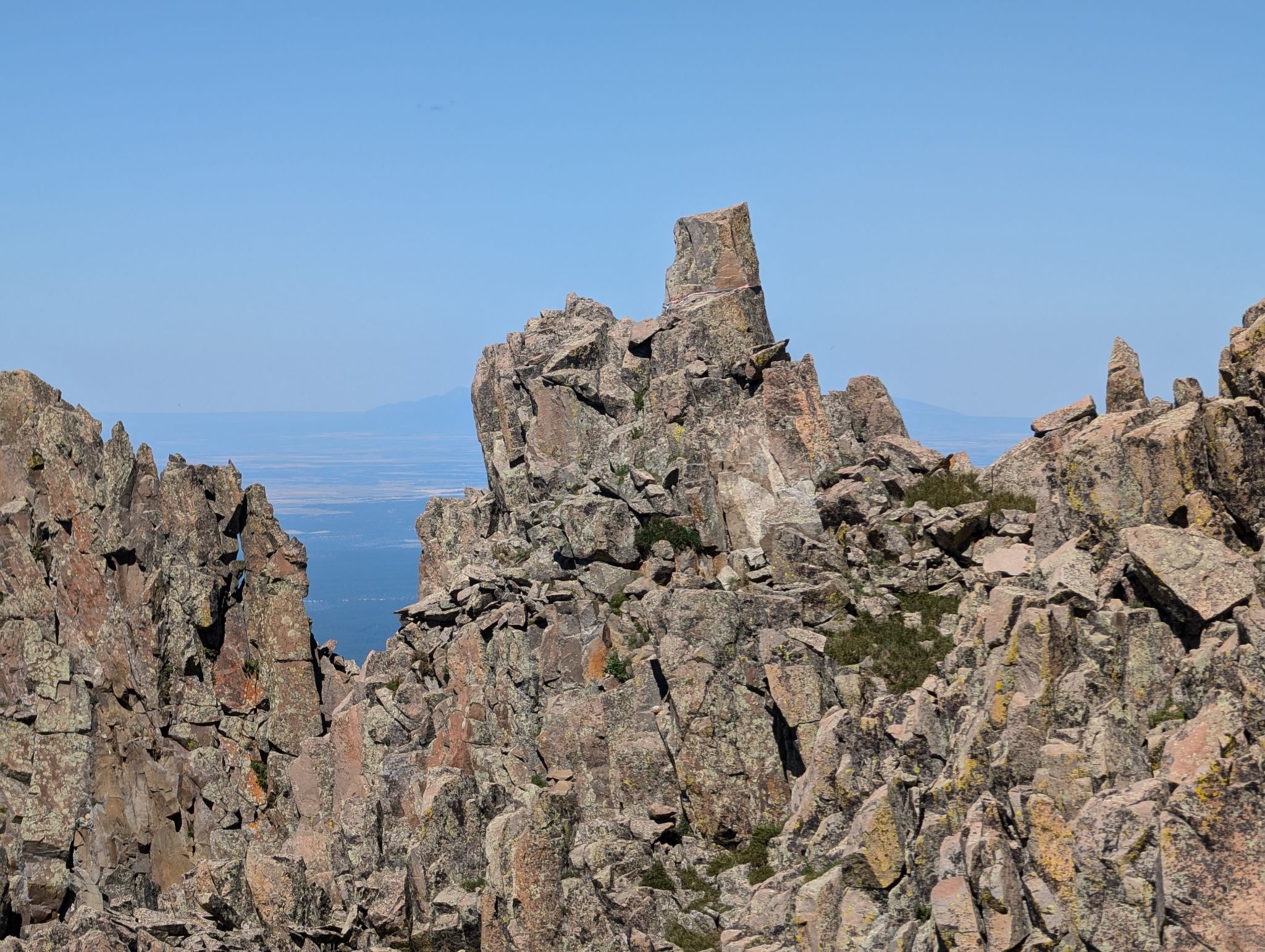
Babcock's summit ridge. Note the prominent horn between Babcock and West Babcock. There is webbing for rappelling to the notch between the two summits.
![Babcock peak 12k]()
Should have brought a rope. Instead, I retraced my steps and down climbed a few hundred feet to a connecting gully
![Babcock peak 16h]()
Looking to 'West Babcock' and Spiller from Babcock's summit. If you look close enough you can see the rap station. A 60m rope would do the trick
![Babcock peak 17h]()
Babcock summit. This dummy didn't bring a helmet or a rope. West Babcock and Spiller behind
![Babcock peak 100]()
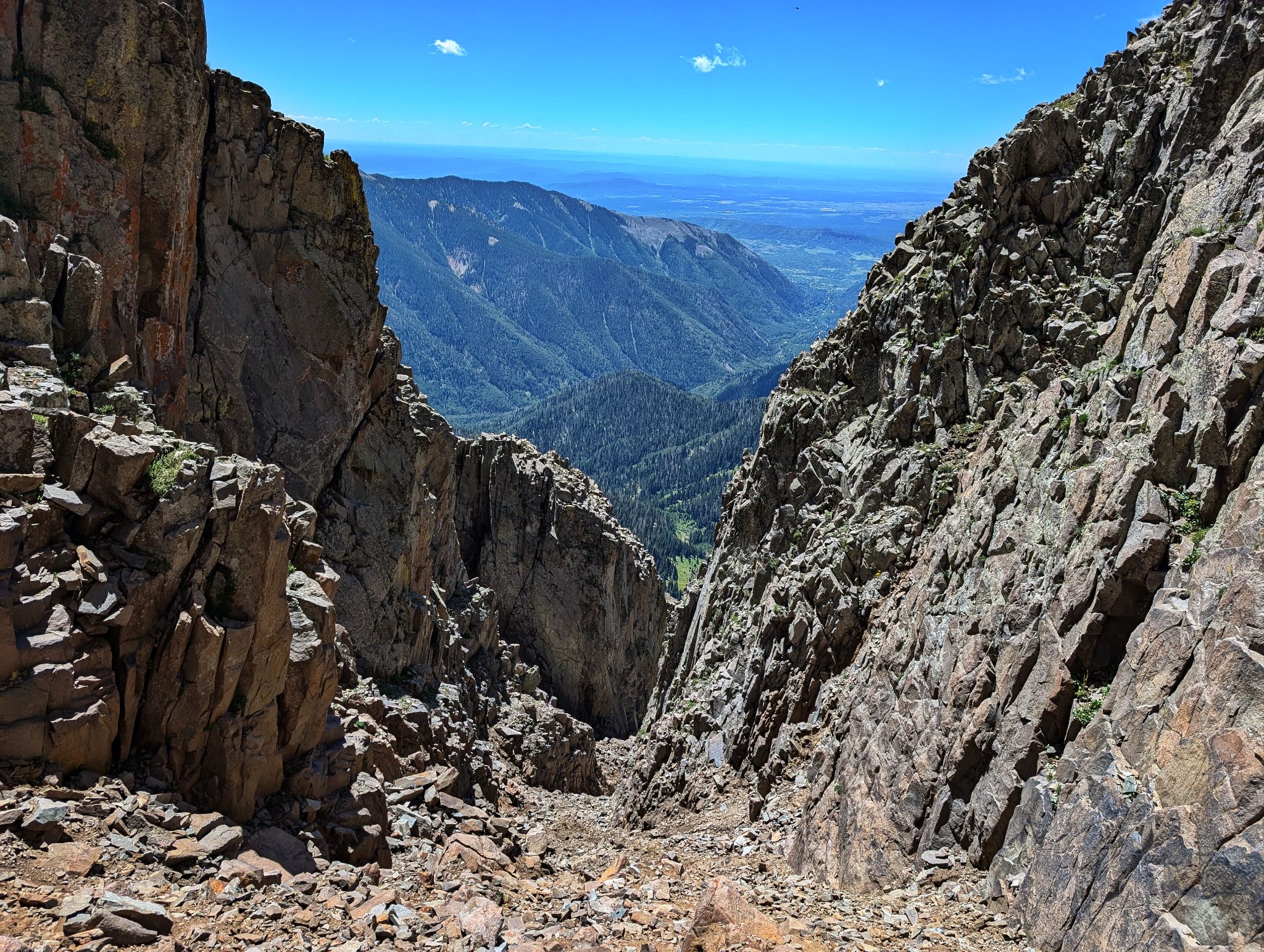
After scrambling back down 150ft or so from the summit, I descended this gully to access the couloir between Babcock and West Babcock
![Babcock peak 101]()
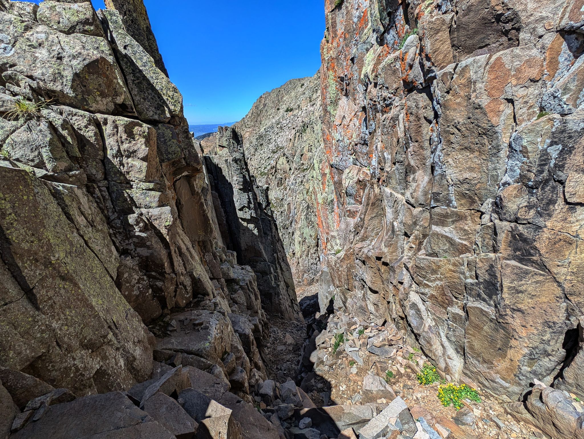
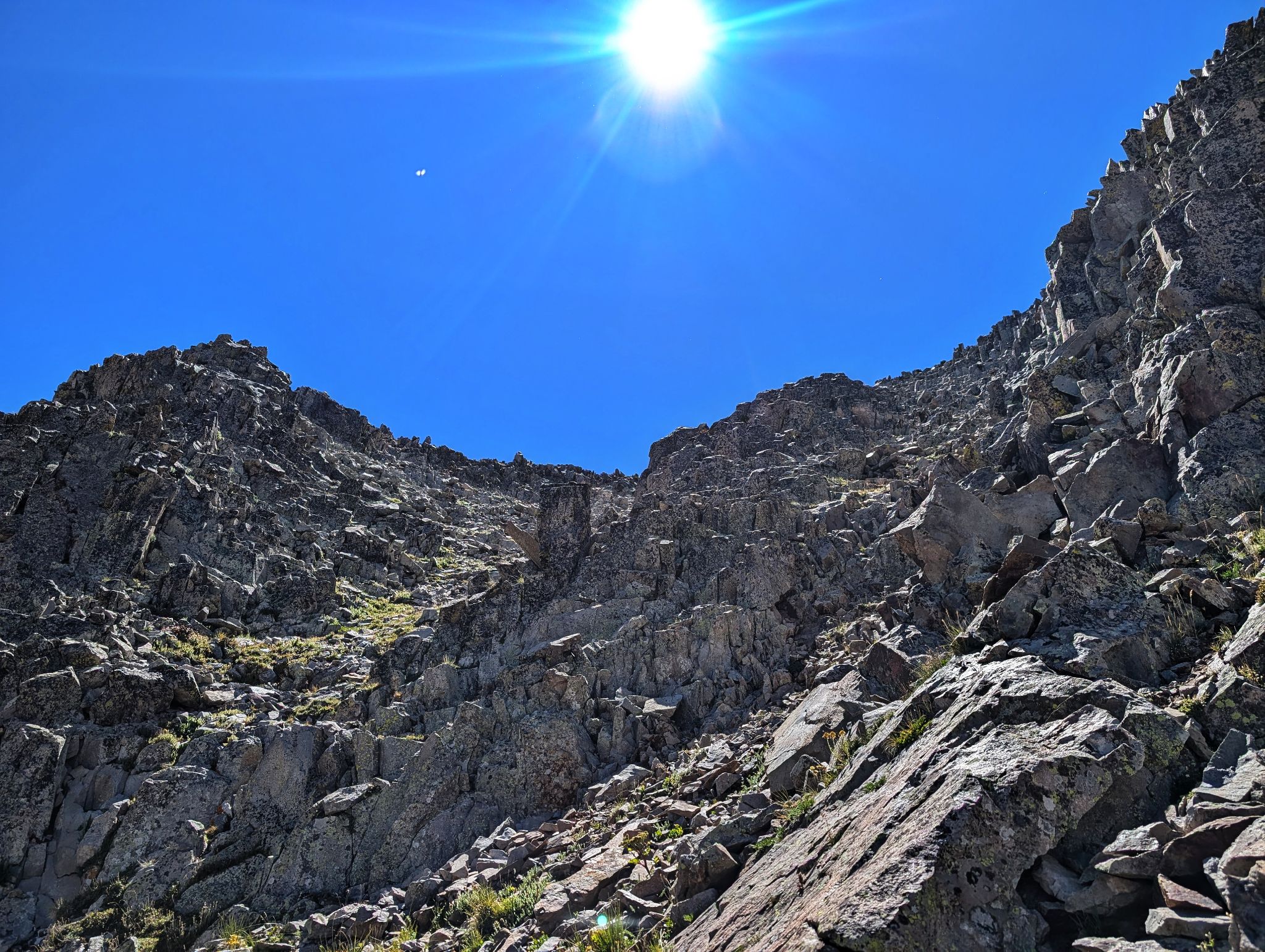
Looking up the couloir that separates Babcock and West Babcock. The snow was easy to avoid on the sides. If wanting to climb this route snow free... late summer is best. This couloir (along with others in this zone) often have snow through July
![Babcock peak 102]()
Looking down the couloir between Babcock and West Babcock
![Babcock peak 103]()
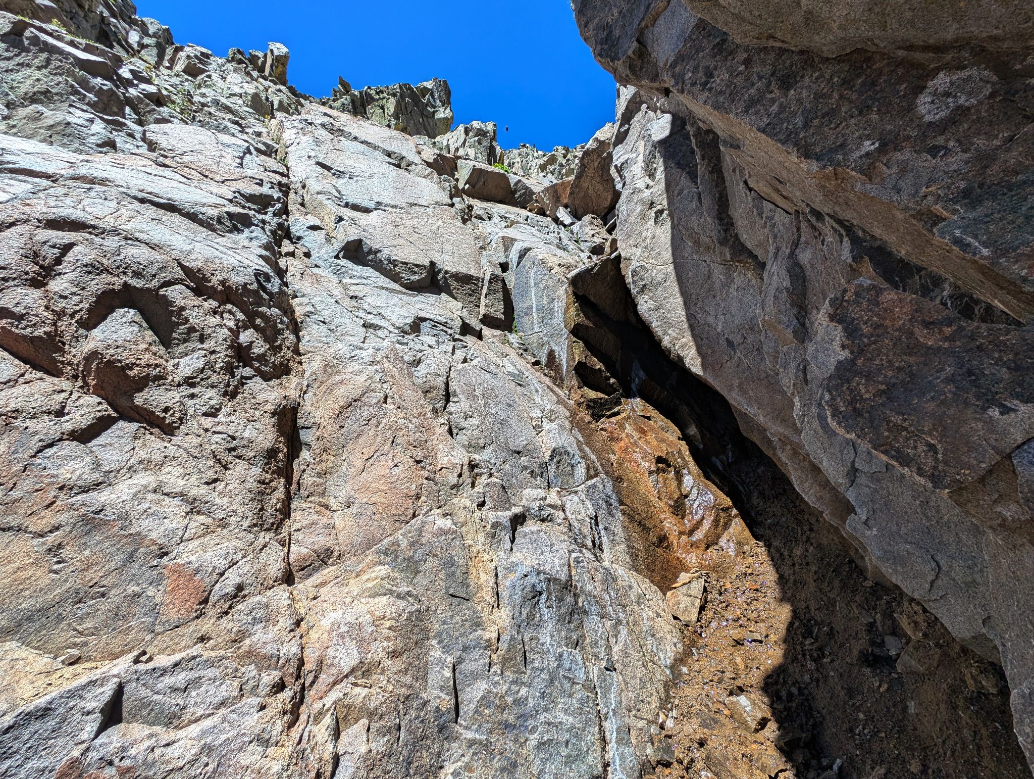
A couple of low 5 moves close to the top of the couloir. This section is not required if you rappelled off of Babcock
![Babcock peak 104]()
Looking back to Babcock. Do you recognize the horn used to rappel from? A big free hanging rap to the top of the couloir would have saved a lot of time.
![Babcock peak 105]()
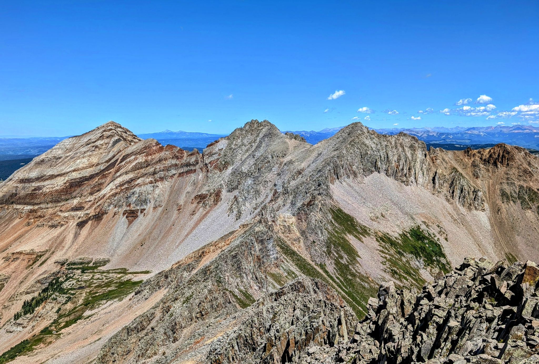
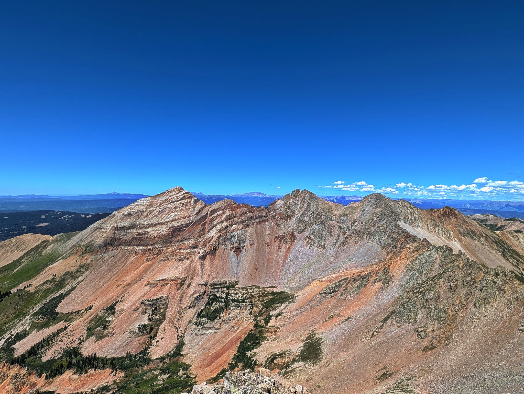
Oh yeah! L2R: Hesperus, Lavender and Moss
![Babcock peak 106]()
Hesperus strutting
![Babcock peak 107]()
Lavender looking fetch
![Babcock peak 108]()
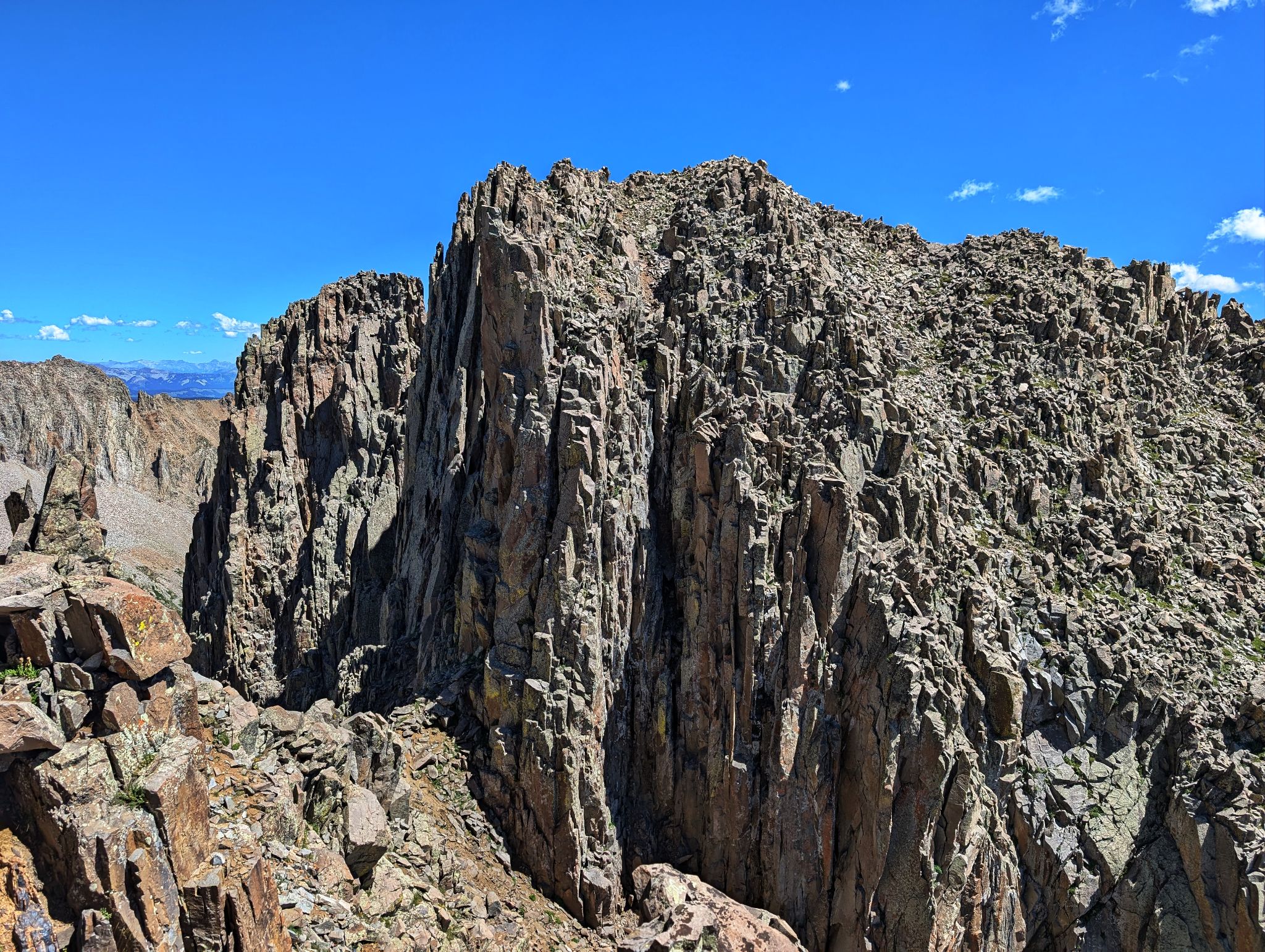
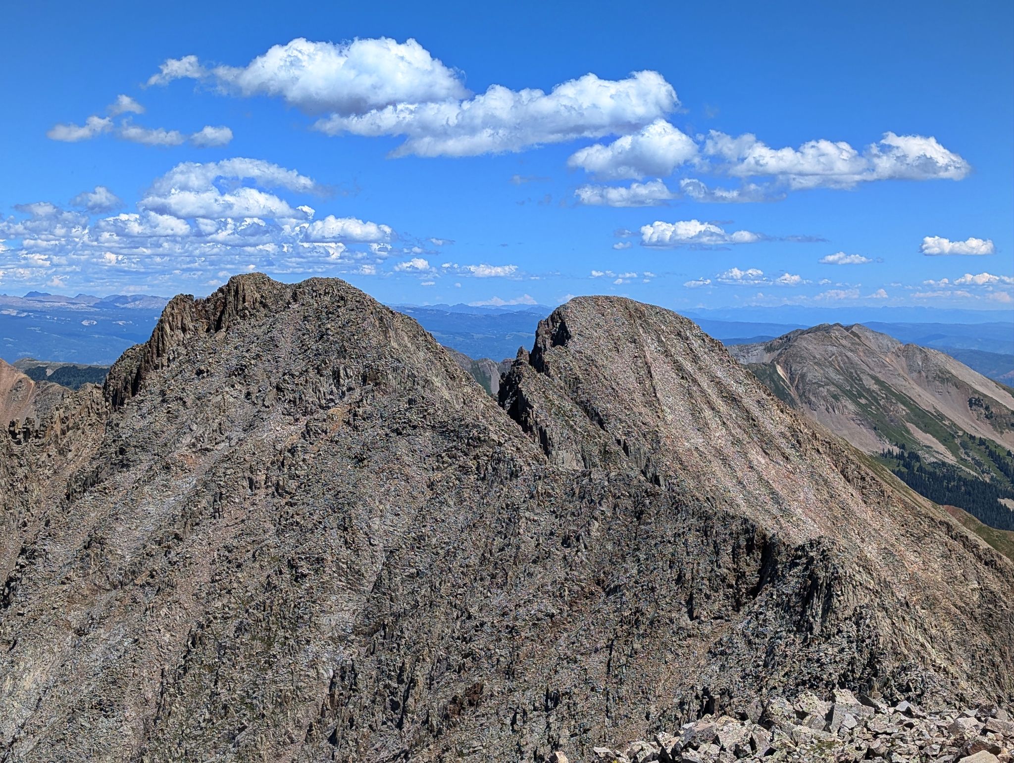
The traverse from West Babcock to Spiller is a half mile of consistent class 3/4 terrain on solid rock with significant exposure. There is plenty of micro route finding but staying the ridge is the general rule. My watch had issues so my GPX track is wonky... take it with a grain of salt.
![Babcock peak 109]()
A spicy down climb
![Babcock peak 110]()
![Babcock peak 111]()
Looking back across the ridge to West Babcock
![Babcock peak 112]()
Up and over
![Babcock peak 113]()
![Babcock peak 114]()
The fun never stops
![Babcock peak 115]()
Until I arrived at this notch and didn't see a way up
![Babcock peak 116]()
So I down climbed this hard pan gully for 100ft or so. This couloir can also have snow through July.
![Babcock peak 117]()
I found this steep and solid class 3 section to the summit
![Babcock peak 118]()
Good stuff to Spiller's summit
![Babcock peak 119]()
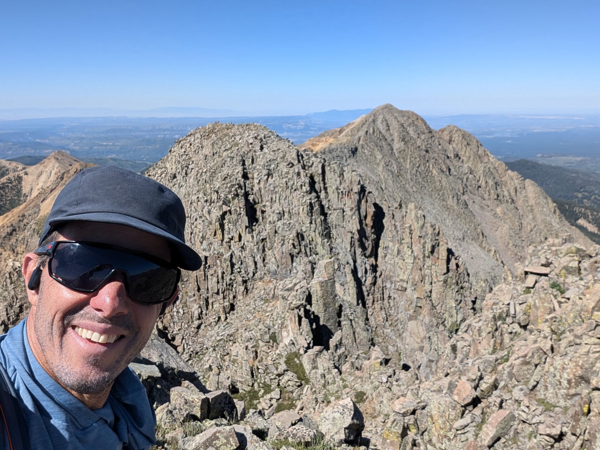
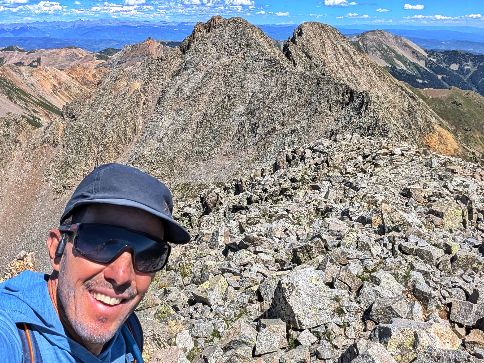
Spiller summit selfie looking back across The Knife
![Babcock peak 120]()
10 outta 10... would do it again!
![Babcock peak 120m]()
The Knife from Mount Moss
![Babcock peak 121]()
One last look at Hesperus, Lavender and Moss
![Babcock peak 122]()
Descending Spiller's south ridge... thought about tagging Burwell... but nah
![Babcock peak 123]()
Instead I descend this treacherous section. From here to the road it was a mix of hard pan, glory scree surfing, baby heads and baby heads hidden in the vegetation. Seemed to go on forever
![Babcock peak 124]()
Diamond in the rough
![Babcock peak 125]()
Sometimes it was surfy... other times it was hard pan
![Babcock peak 126]()
Looking back to the descent route... doesn't look so bad from here