Mount Valois
Date: 07/31/2023
Partner: Dan Rosebosky
Trailhead: City Reservoir Camp
Distance: 6m
Elevation Gain: 2350ft
Duration: 3 hours 20 Minutes
Mount Valois 14ers.com Page
GPX
A nice little quick hit from camp with a fun ridge. Consider combining Valois with the Aztec Group route
![Valois 00]()
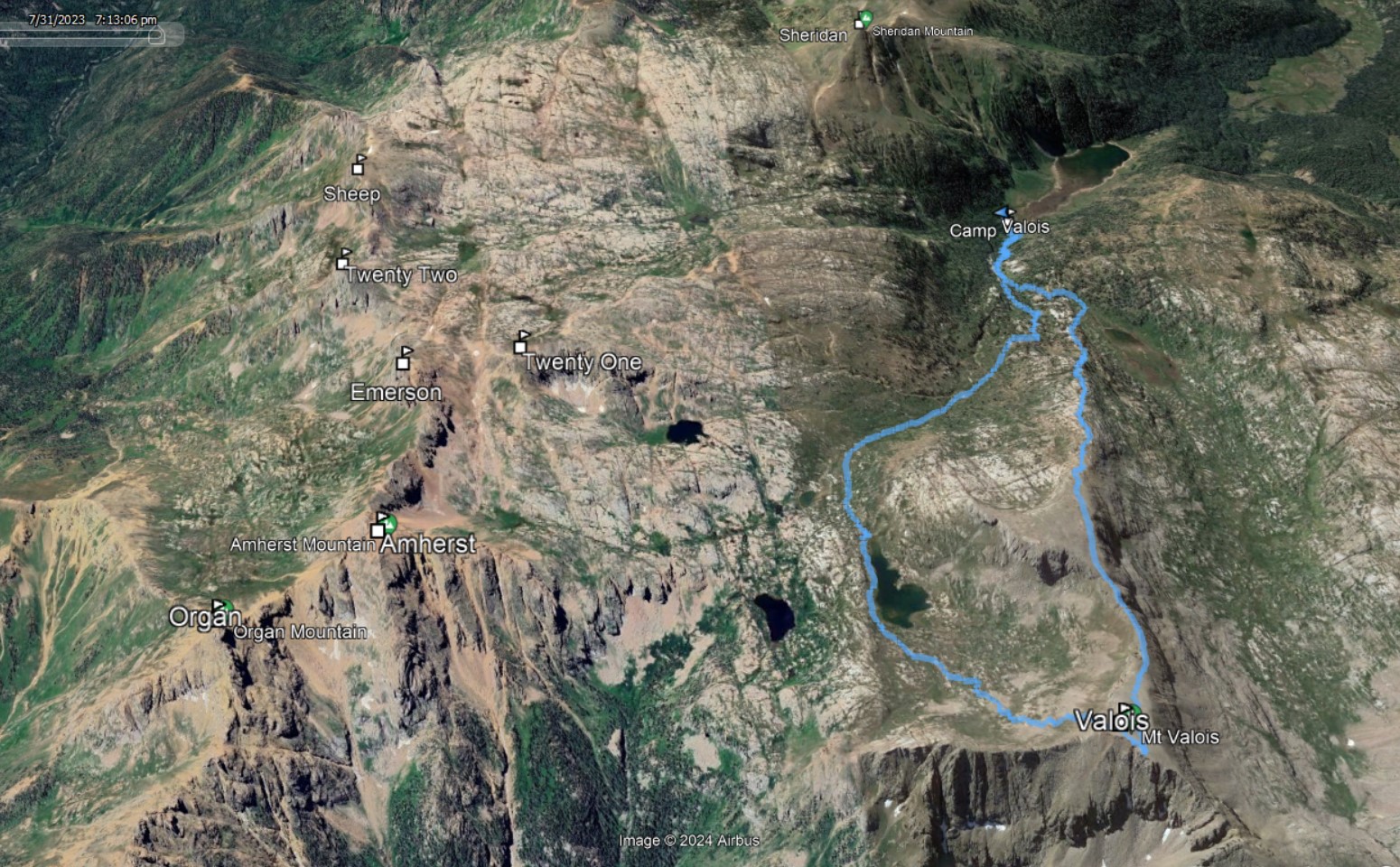
6m - 2350ft - 3 hours 20 Minutes
![Valois 01]()
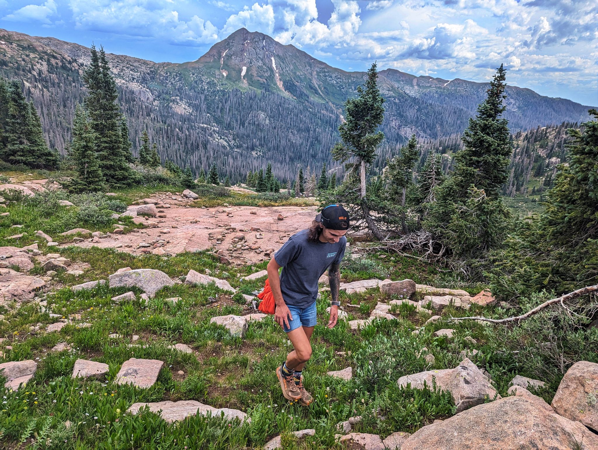
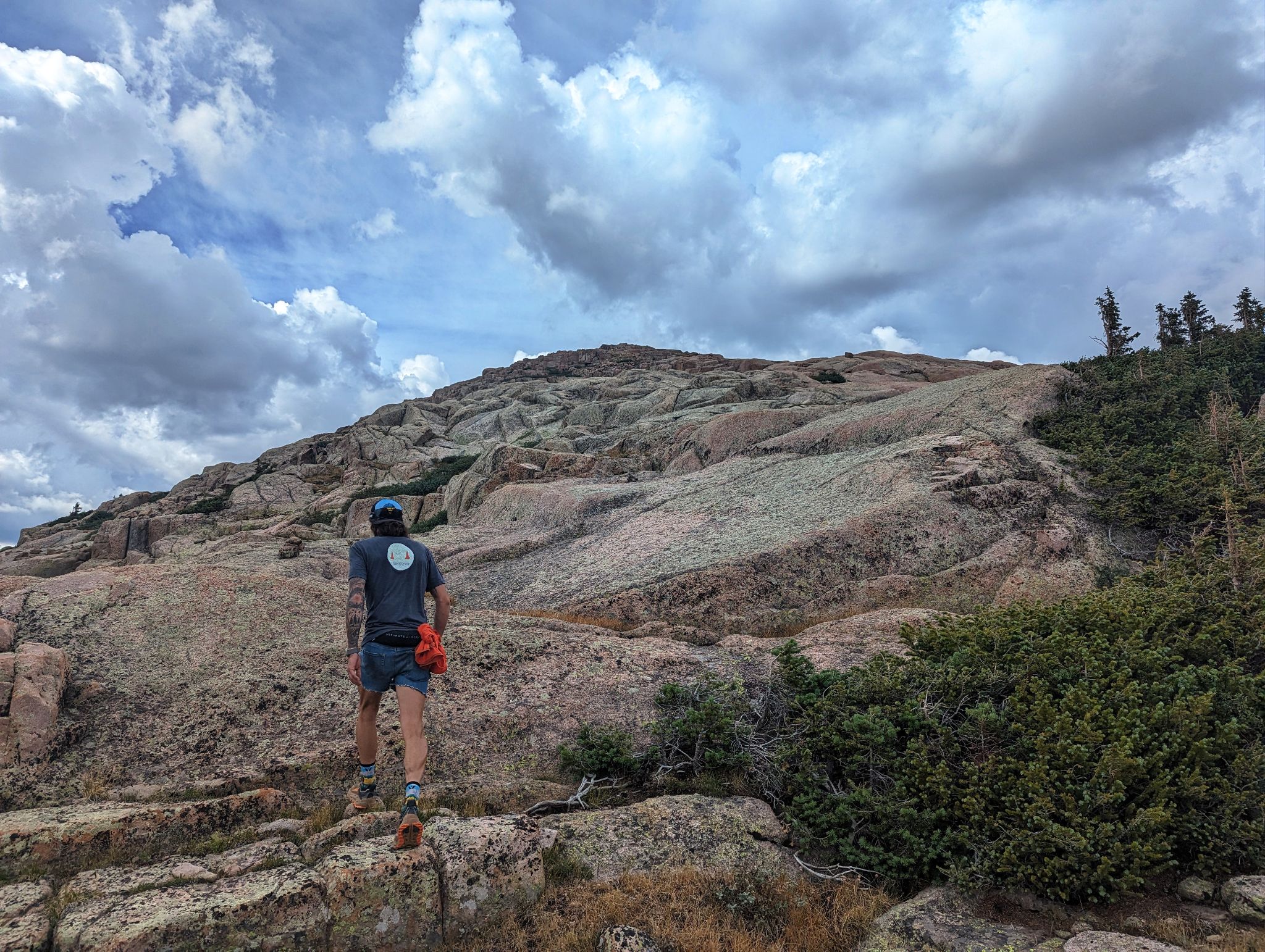
Dan making good time enroute to Valois' south ridge
![Valois 02]()
Kinda glad Dan wore his 'conservative jorts' and left the 'aggressive' ones at home
![Valois 03]()
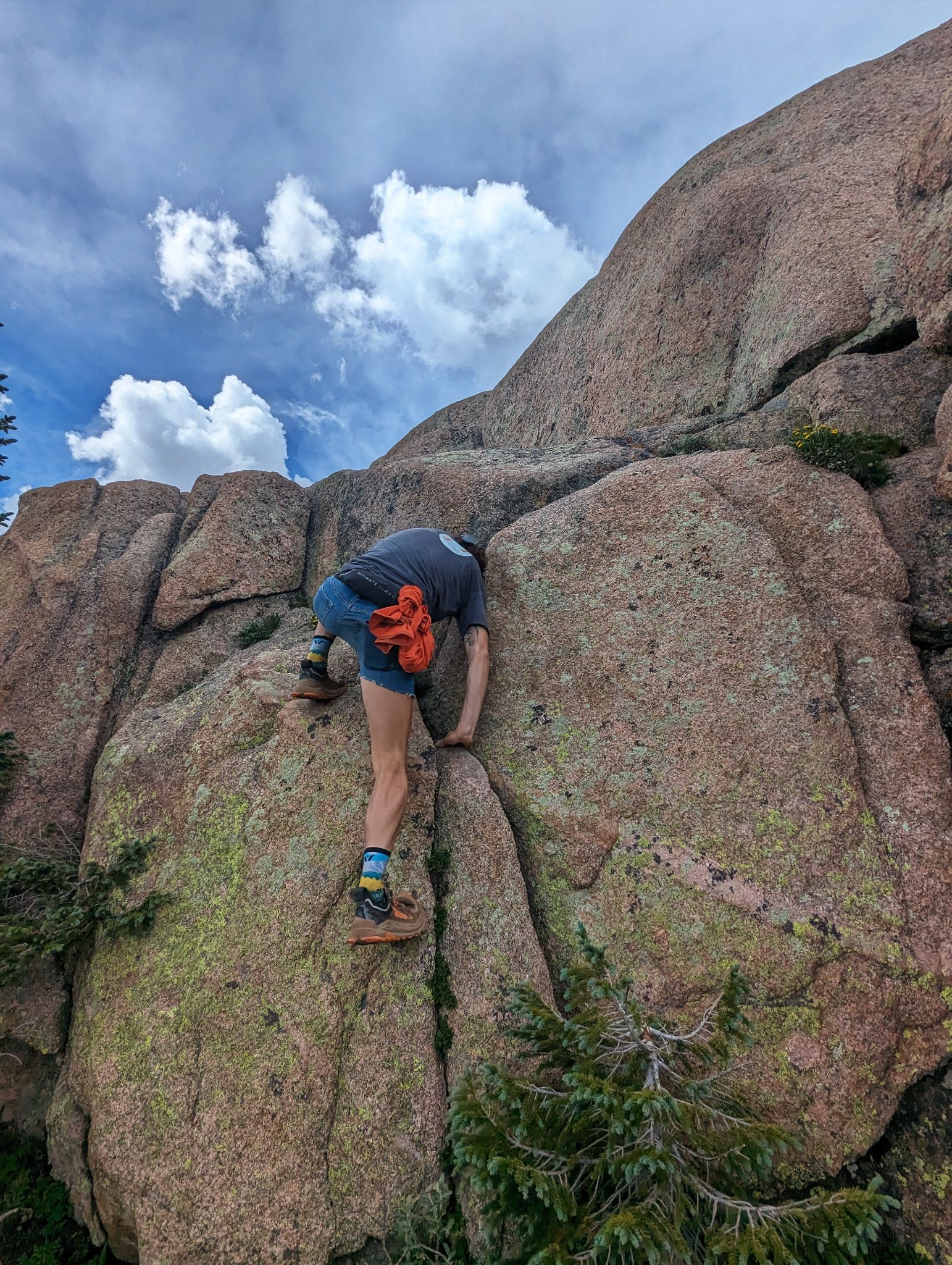
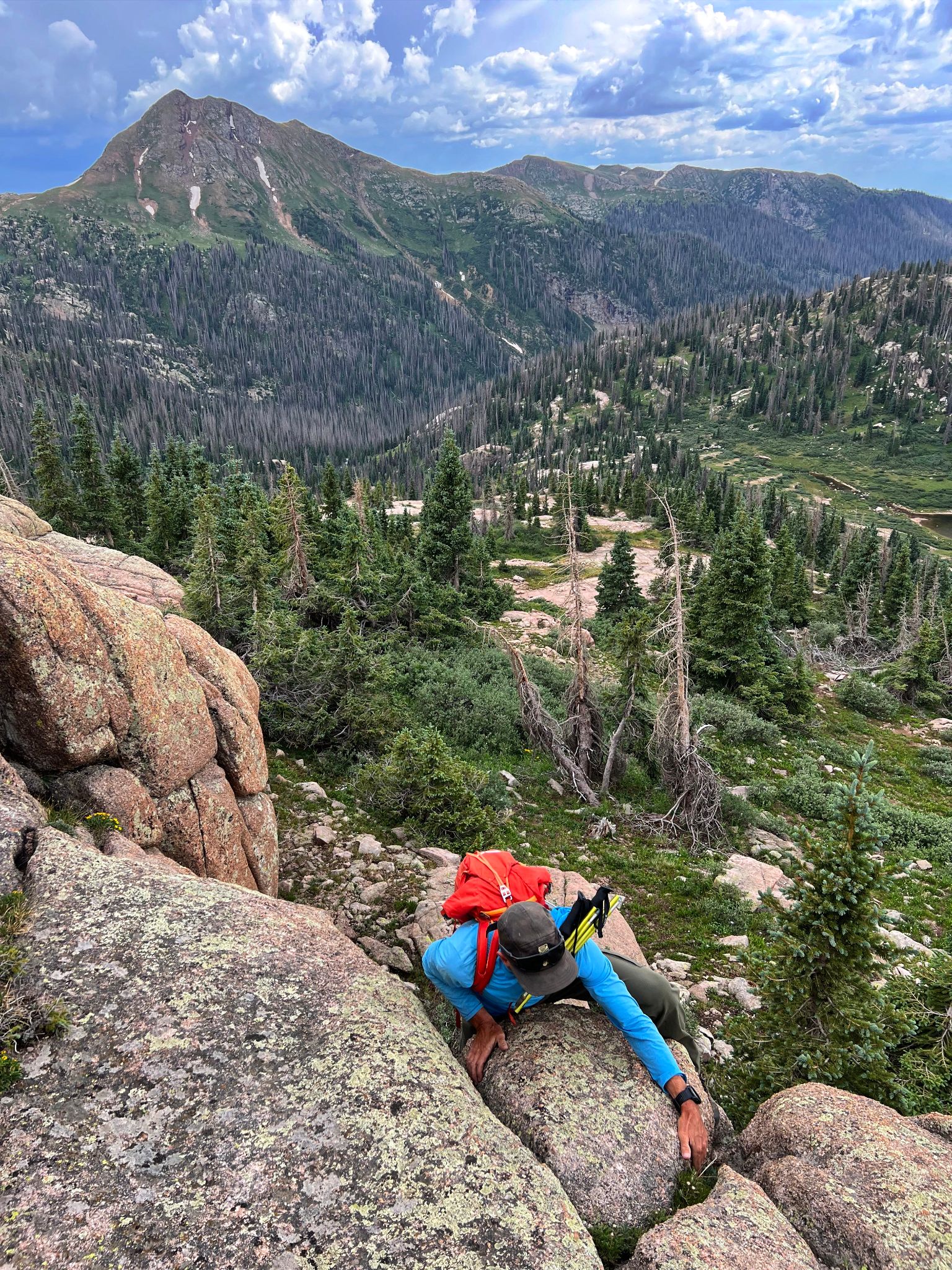
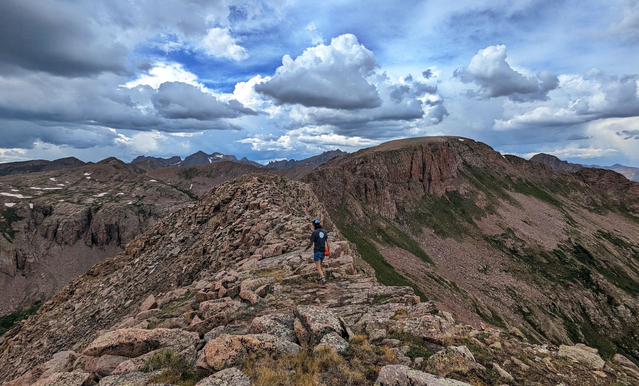
Fun on the south ridge
![Valois 04]()
![Valois 05]()
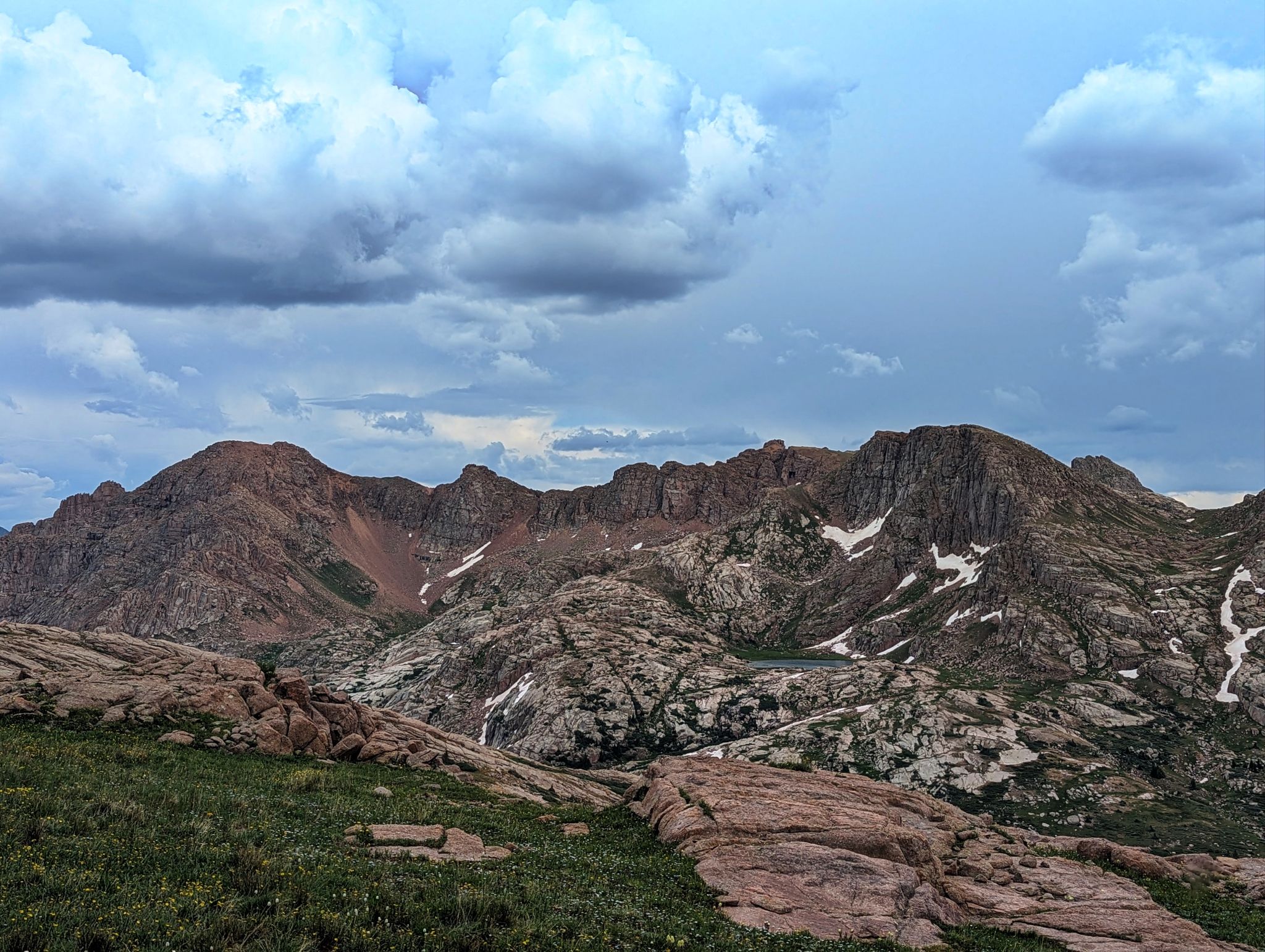
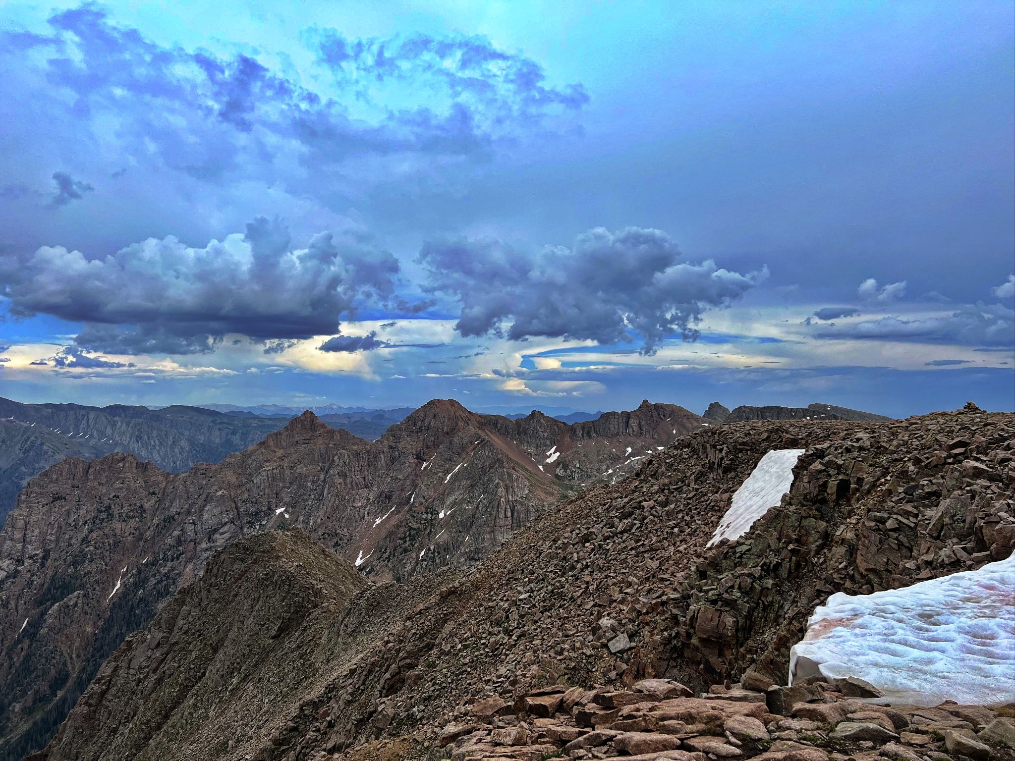
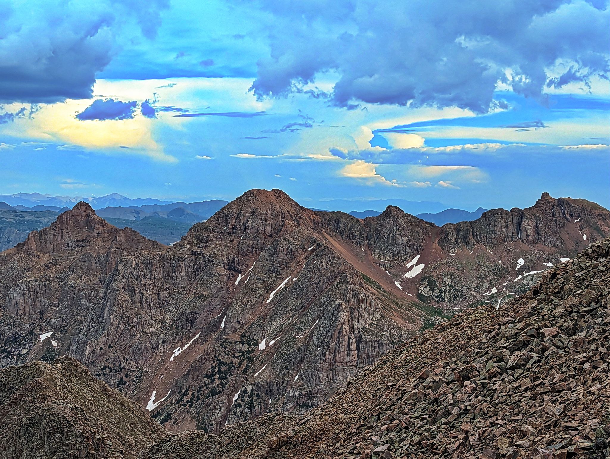
Amherst (L) and it's ridge to Emerson(UR) and Peak Twenty One (UR)
![Valois 06]()
The way to Valois
![Valois 07]()
Looking east to Amherst
![Valois 08]()
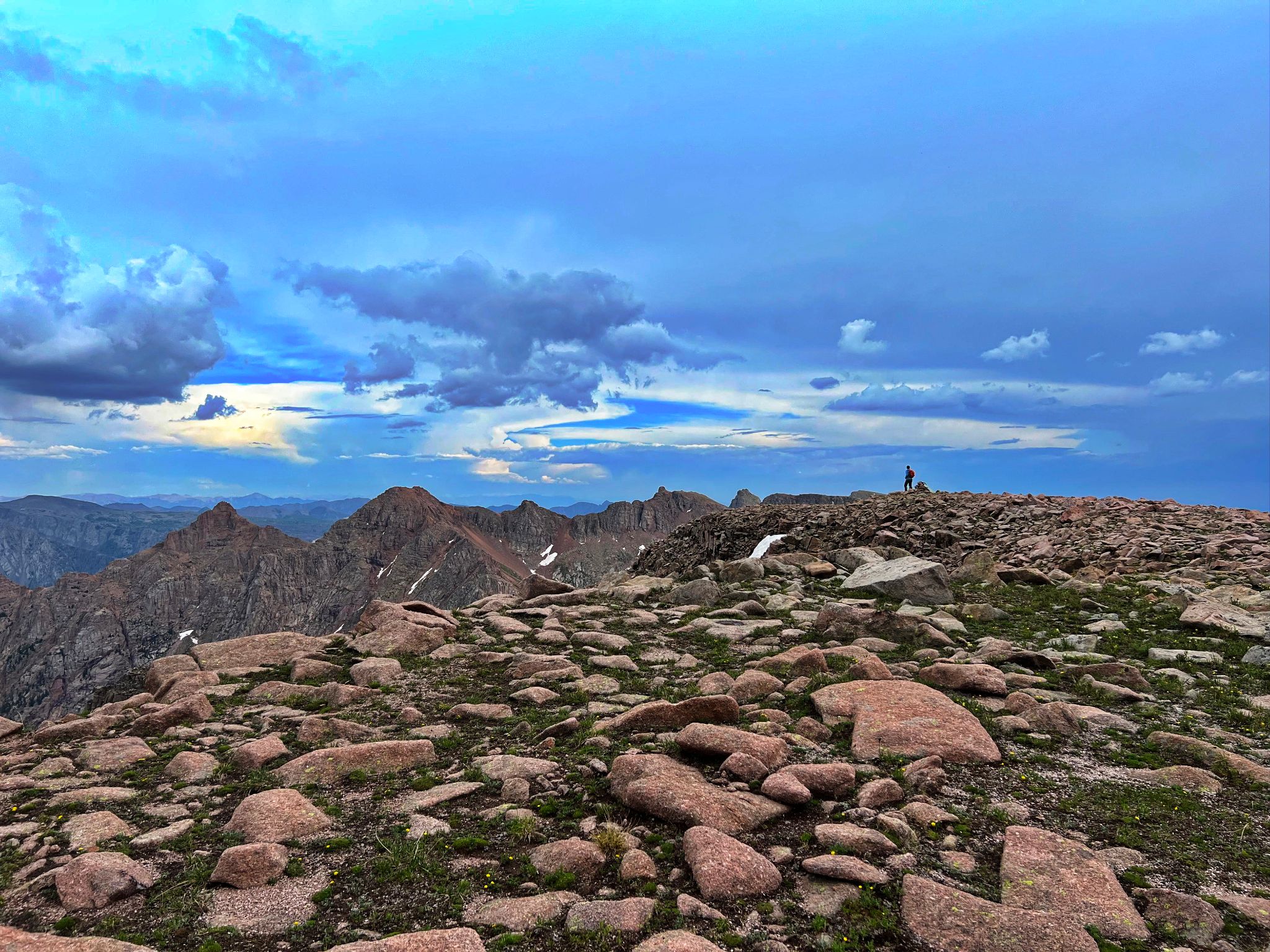
Clouds building on the Valois summit
![Valois 09]()
![Valois 10]()
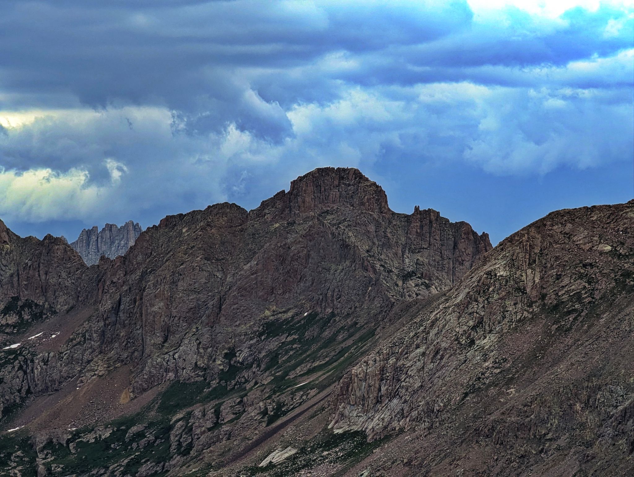
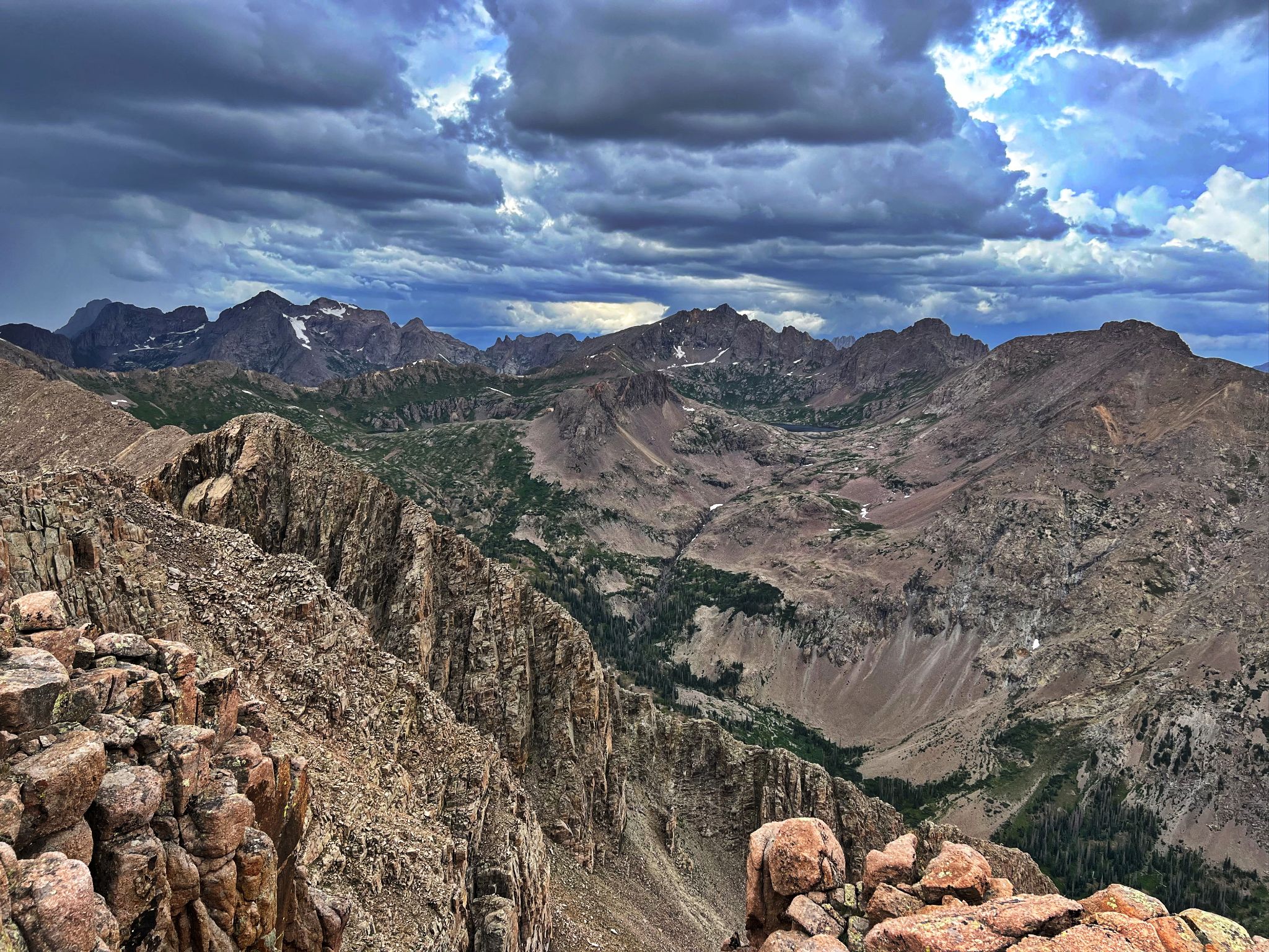
The burly Grizzly C to the north
![Valois 11]()
Eolus to the north
![Valois 12]()
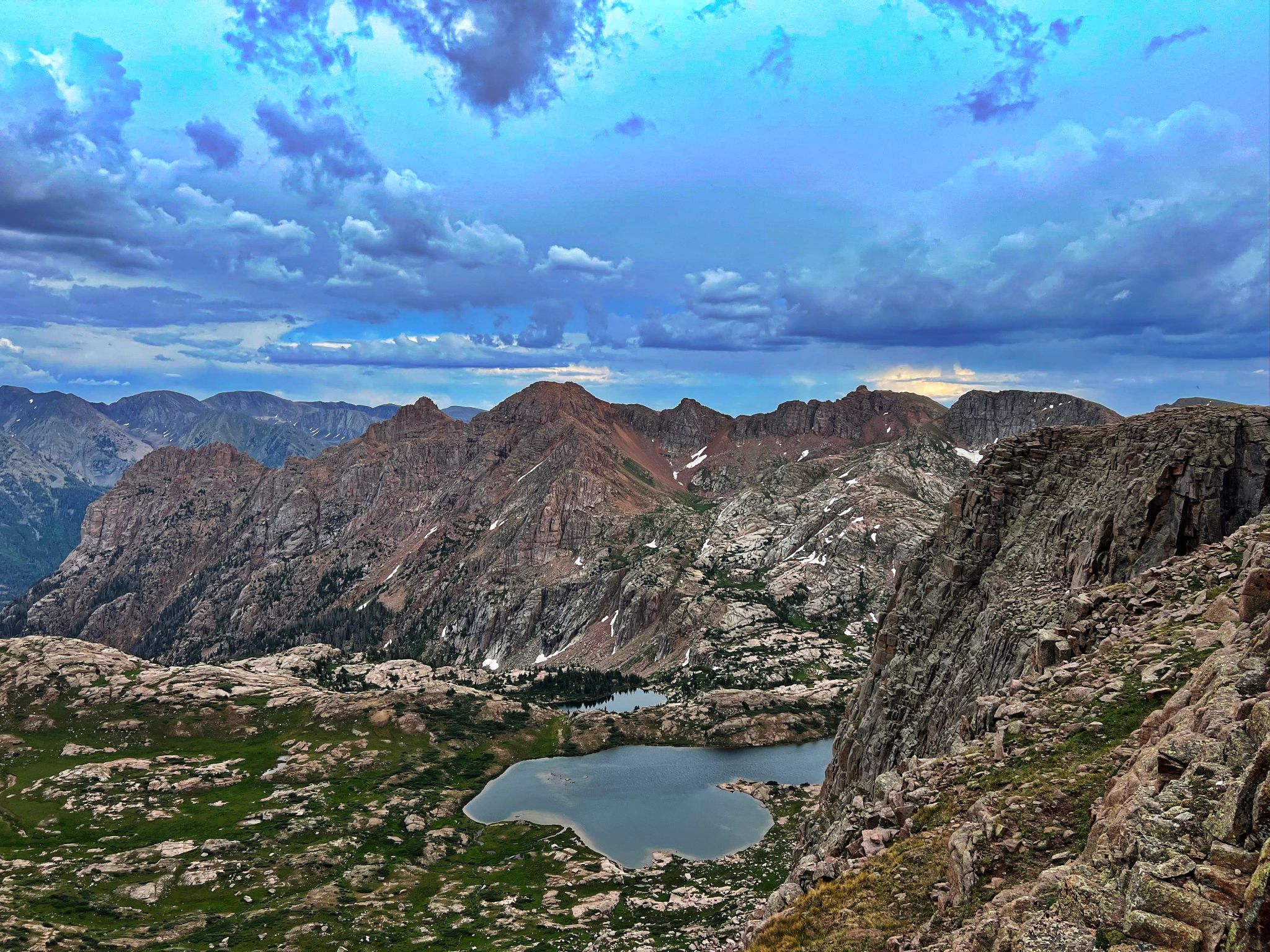
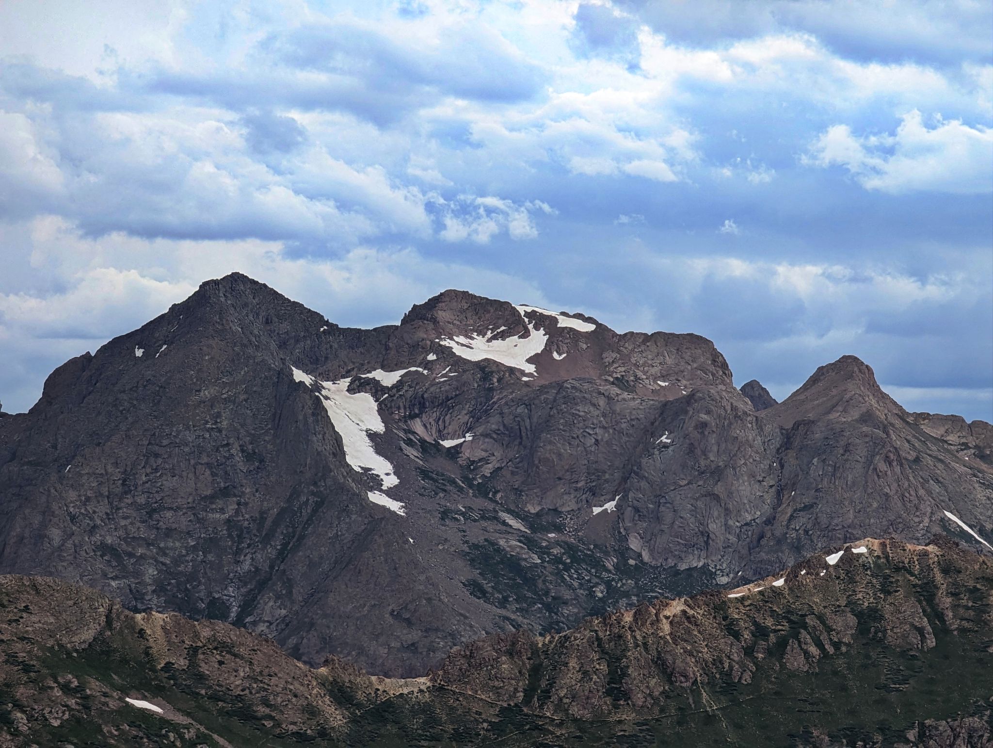
Organ far left - Amherst center
![Valois 13]()
The storm to the north thankfully stayed there
![Valois 14]()
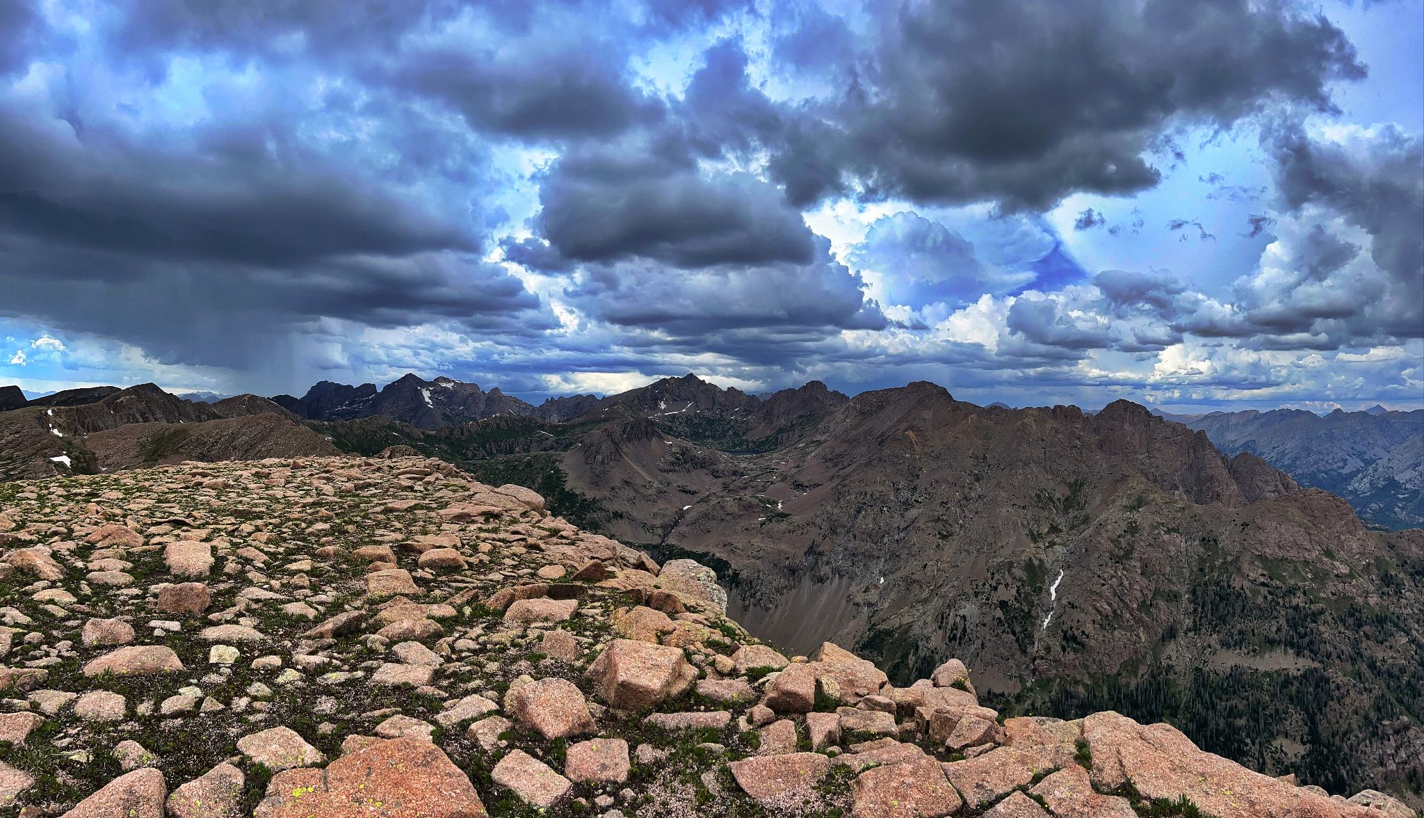
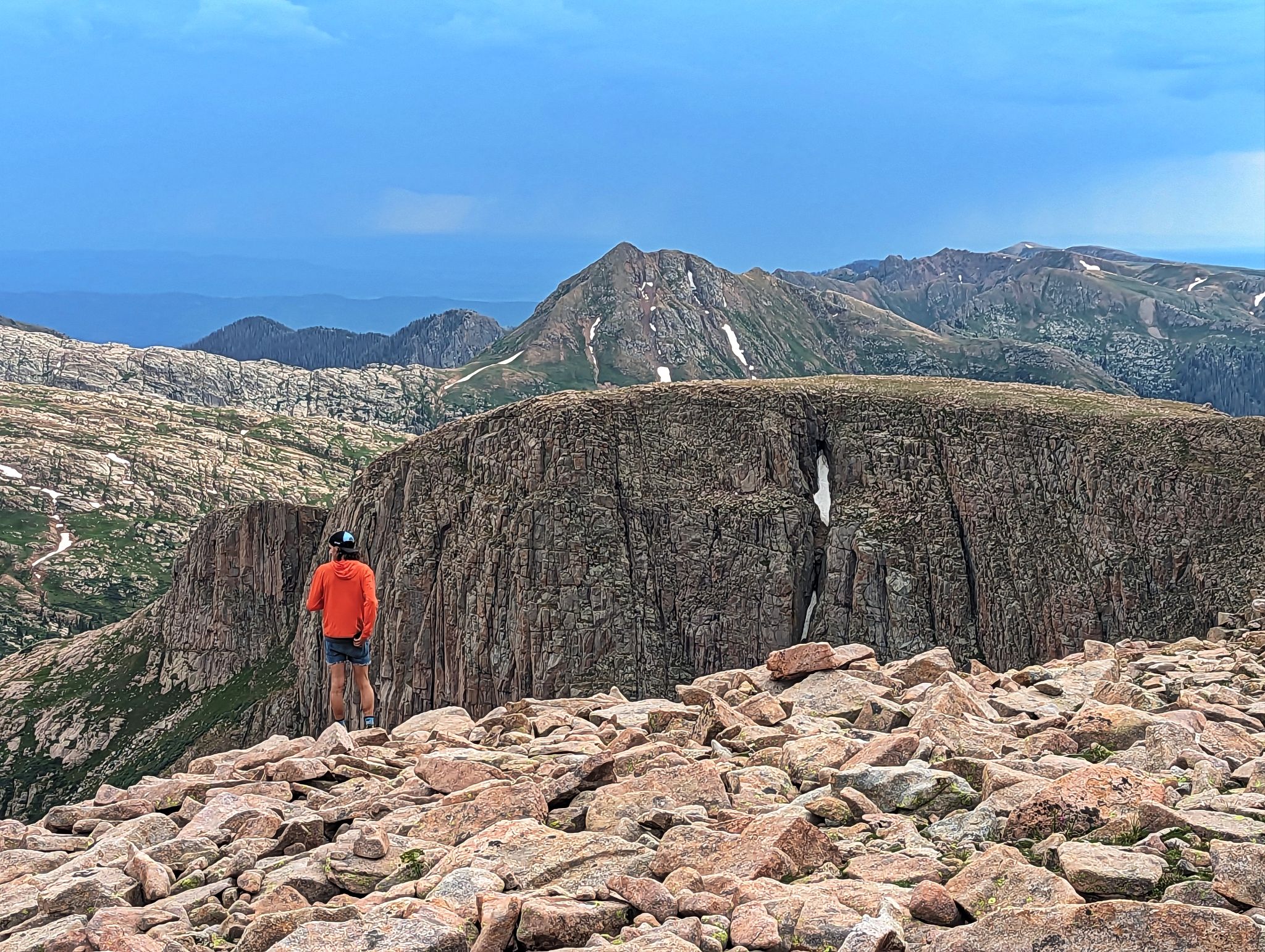
Valois' big flat summit has some incredible views
![Valois 15]()
![Valois 16]()
Ready to head back to camp
![Valois 17]()
We looped it up
![Valois 18]()
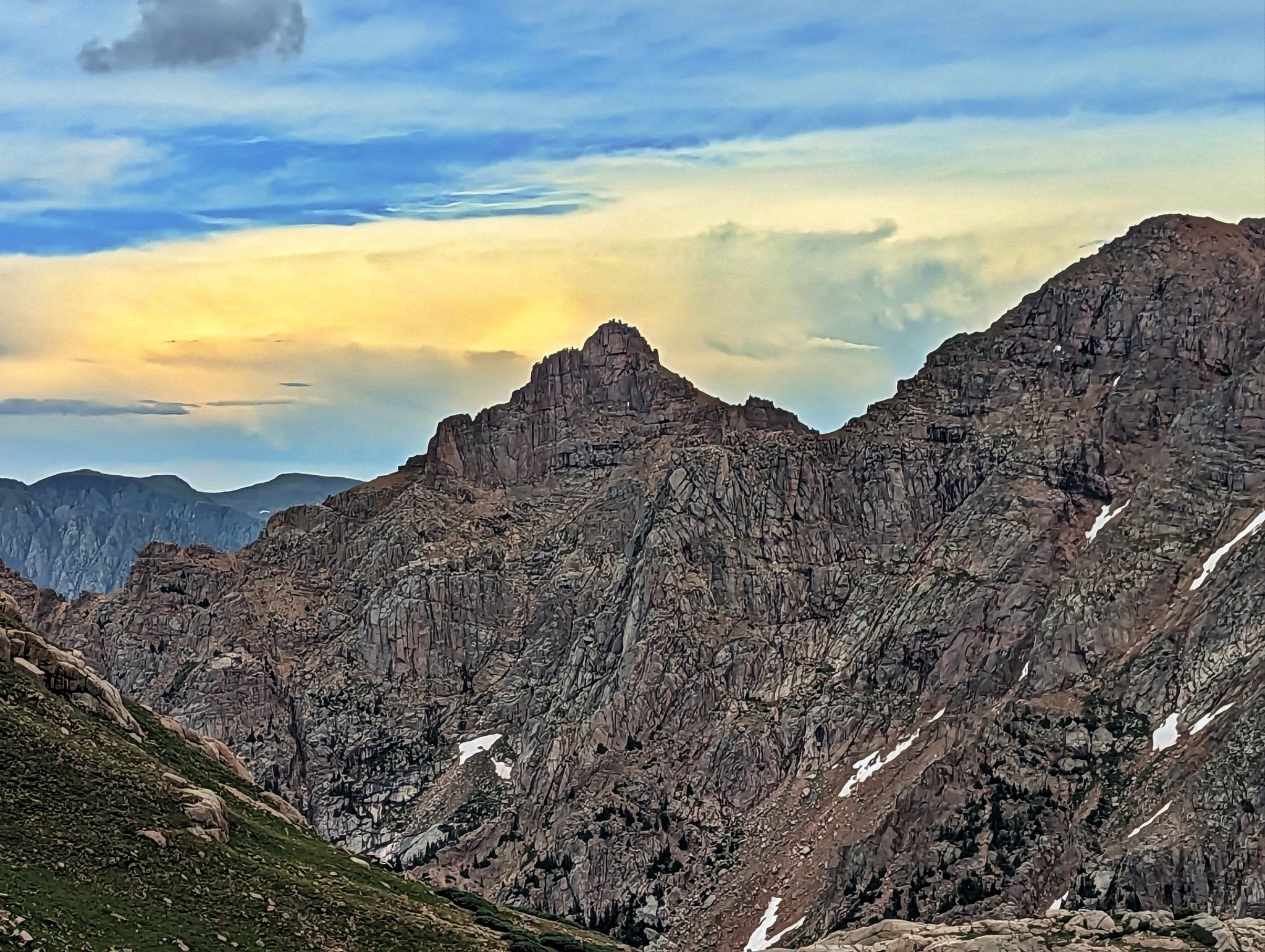
Organ
![Valois 19]()
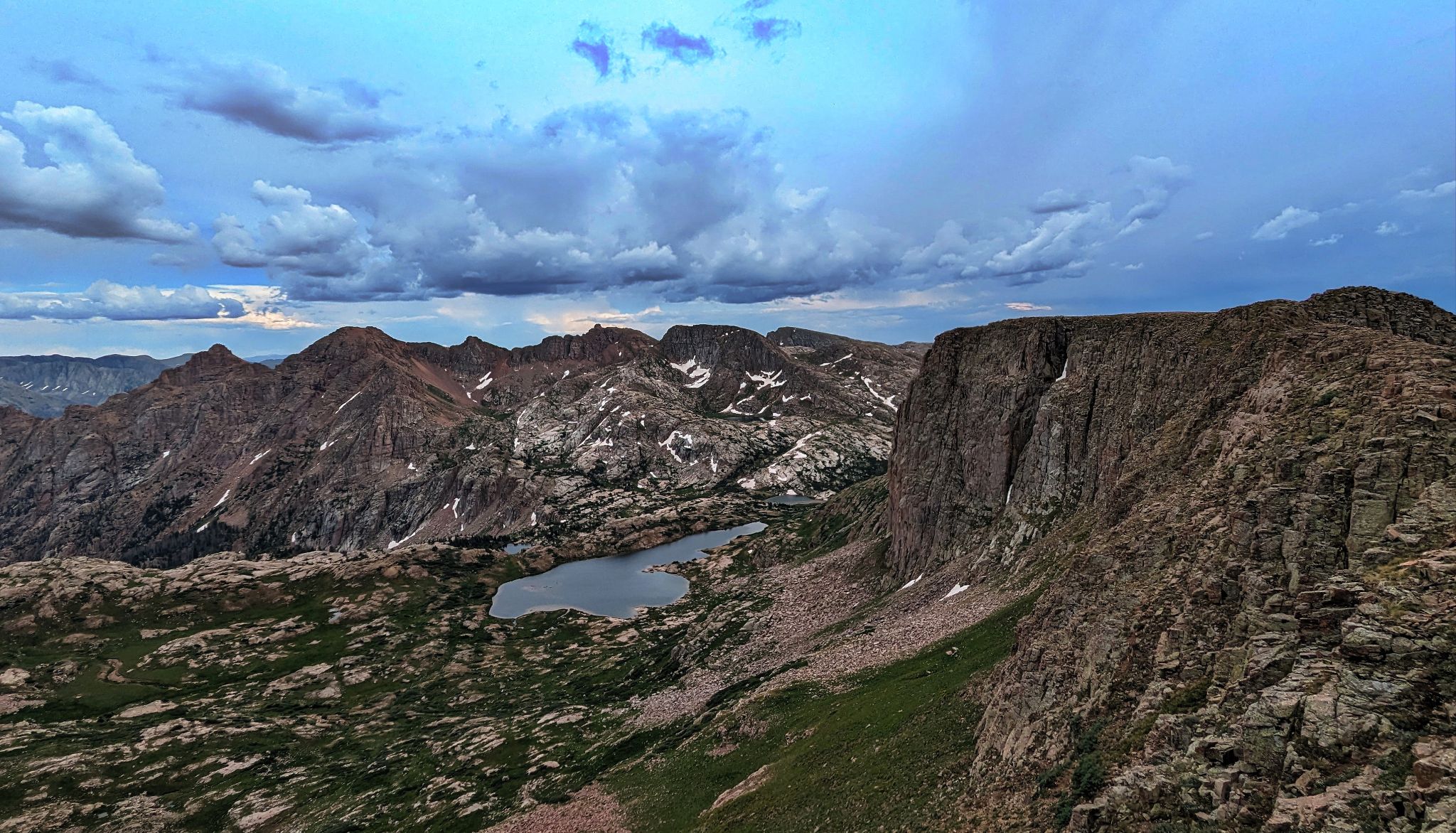
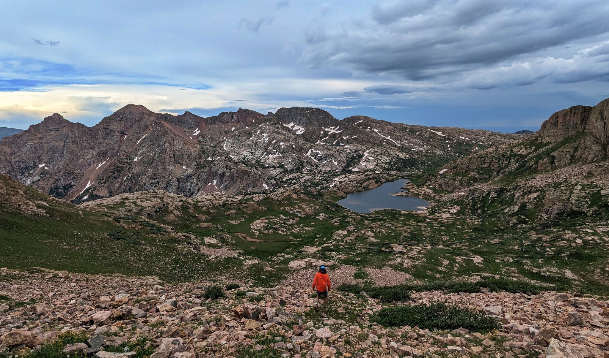
Looking back to Valois and our descent