Bridge of Heaven
(and friends)
Date: 05-27-26
Trailhead: Old Horse Thief
Summits:
* Cascade Mountain aka Bridge of Heaven
* PT12,741
* Gold Hill
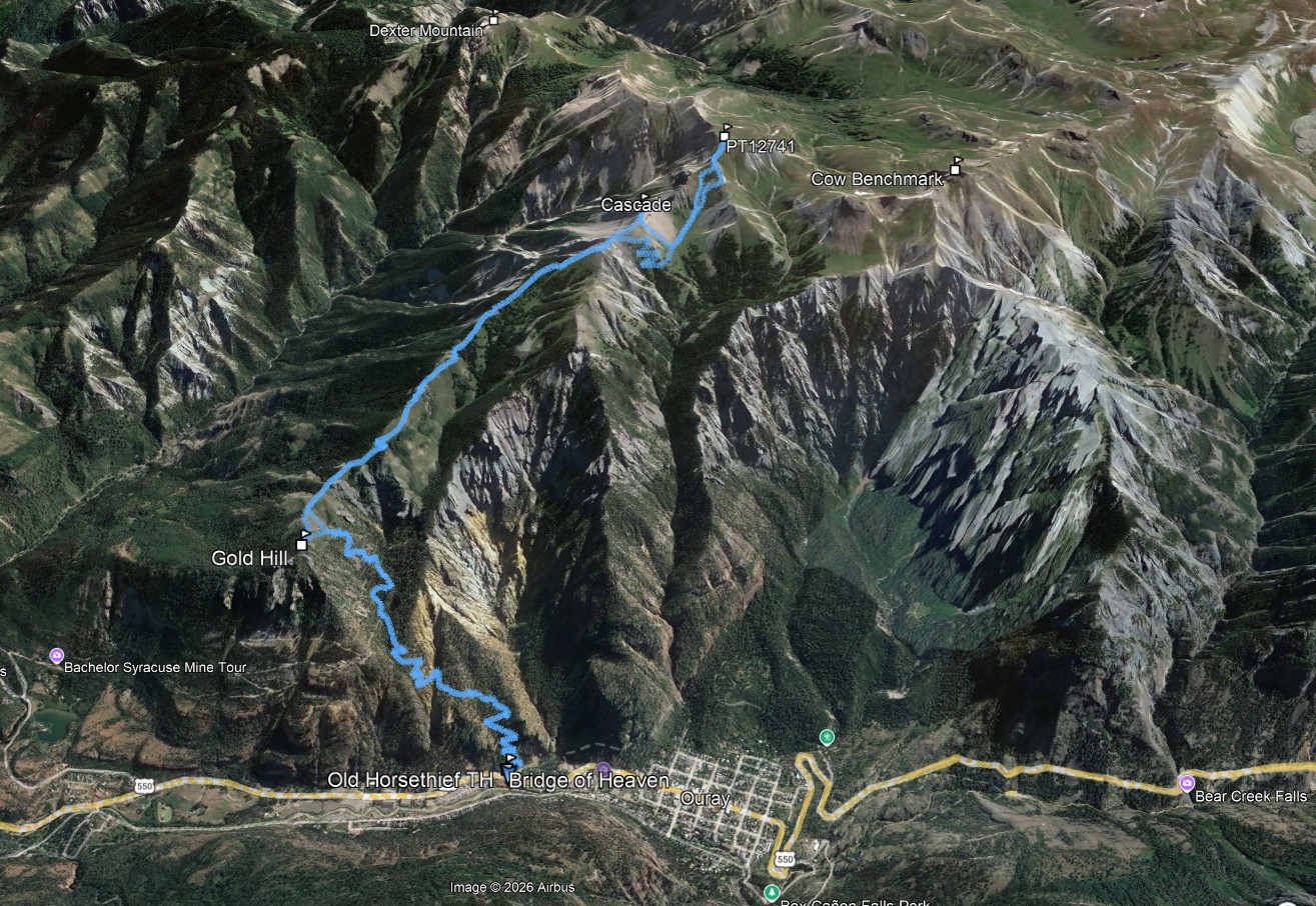
Distance: 13.1m
Elevation Gain: 6200ft
Duration: 6hrs 25min
GPX
After nursing a tweaked back for the last month I decided to get out and see how it would do on a longer day.
The Old Horsethief trail from Ouray is a staple training hike however I had never been to Bridge of Heaven... formally known as Cascade Mountain.
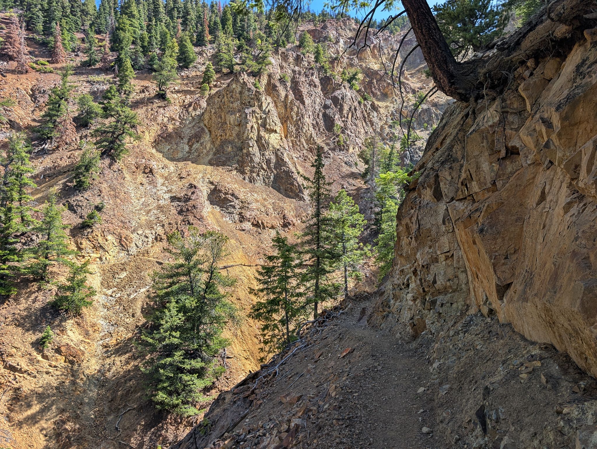
The trail from town to Cascade is well maintained with a few steep spots here and there but nothing too bad.
When I reached Cascade the view of PT12,741 was calling... so I decsided to add that to the day.
The views on this hike are amazing and the day goes fast with the nice trail... if you have time and energy you could even add Cow BM to the mix.
![Bridge of heaven 01]()
13.1m - 6200ft - 6hrs 25min
![Bridge of heaven 02]()
Hiking the well maintained Old Horsethief trail from town
![Bridge of heaven 03]()
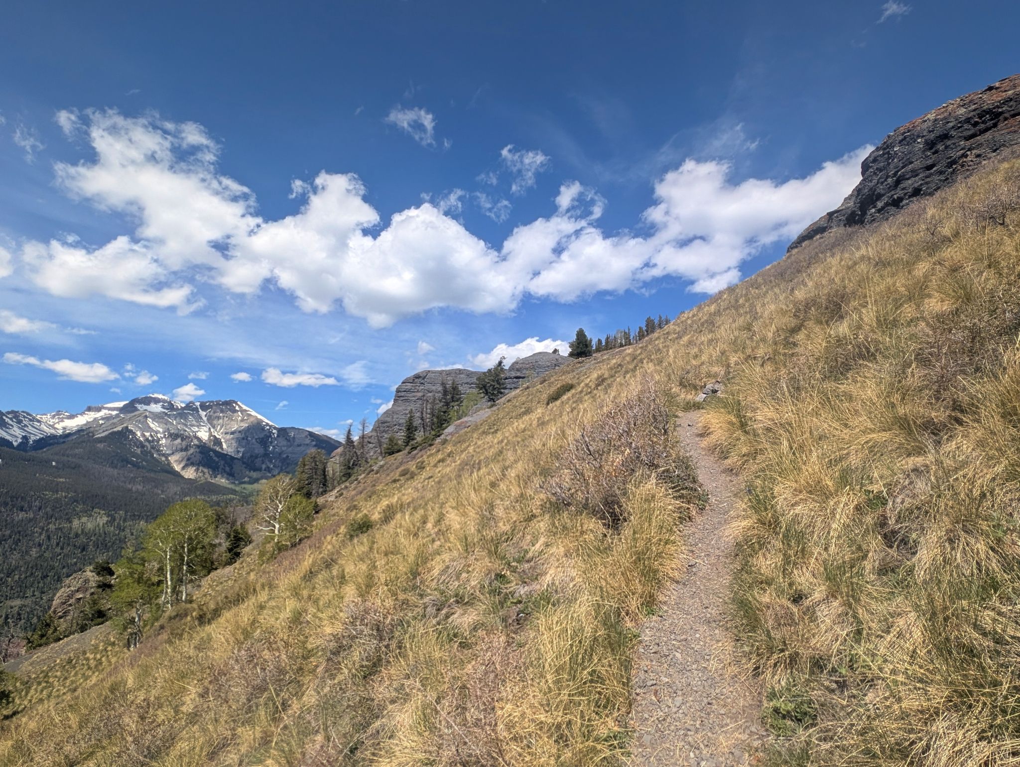
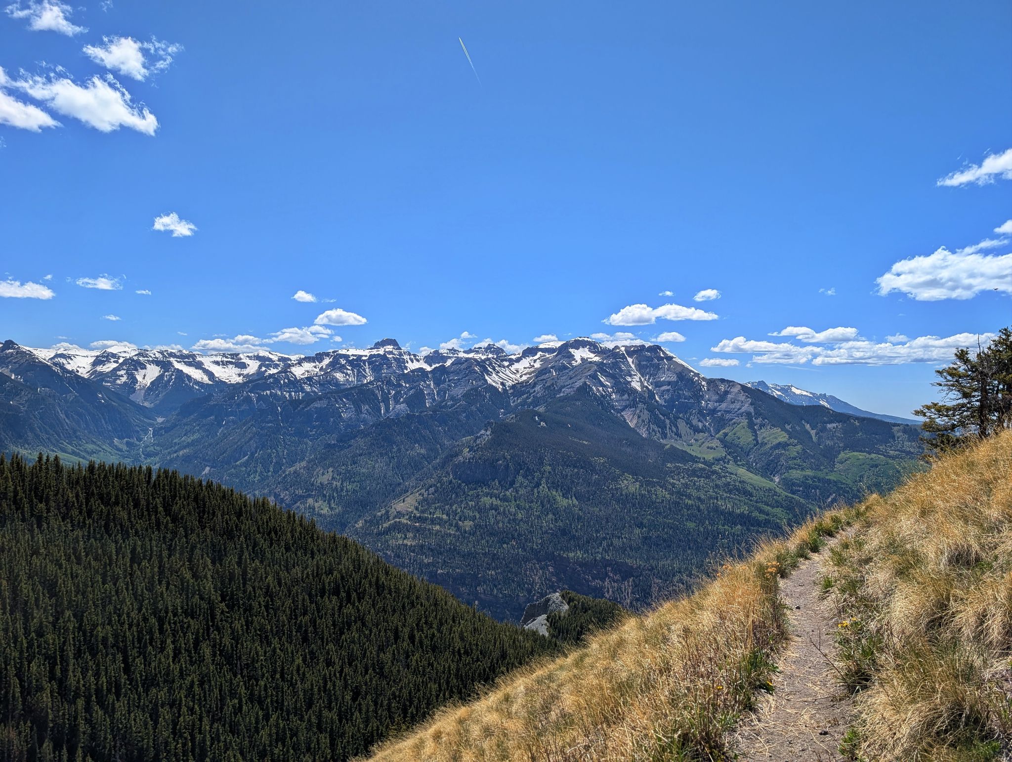
The views open up as you get above treeline
![Bridge of heaven 04]()
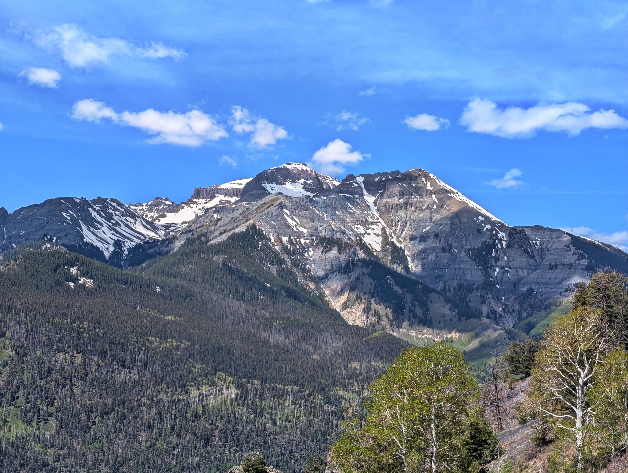
Corbett and Whitehouse to the west
![Bridge of heaven 05]()
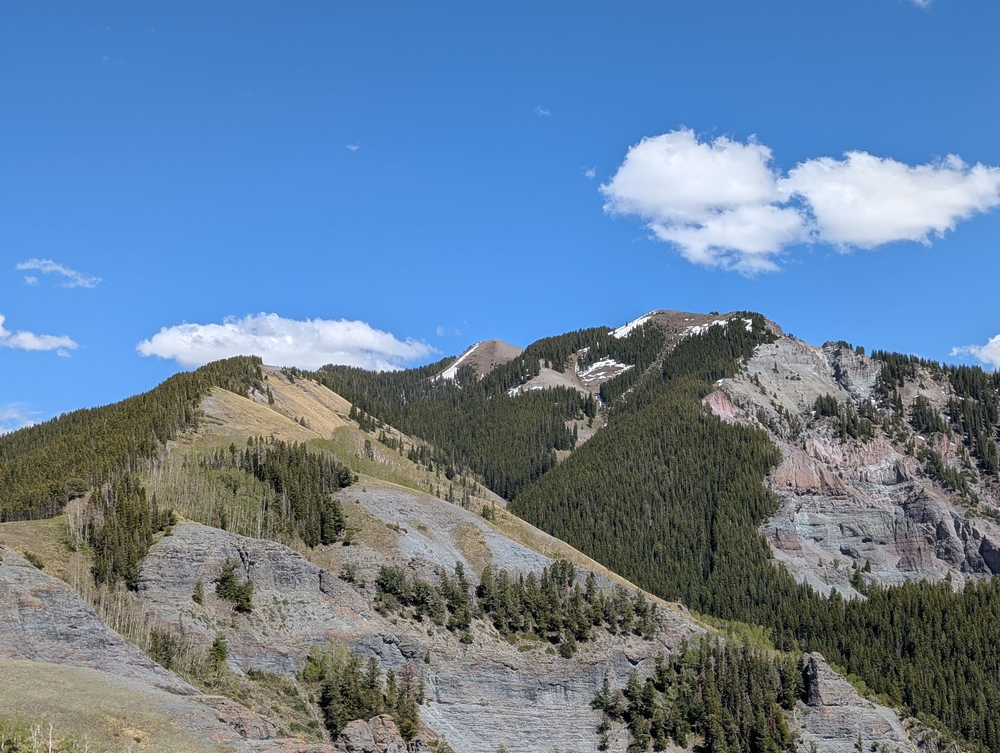
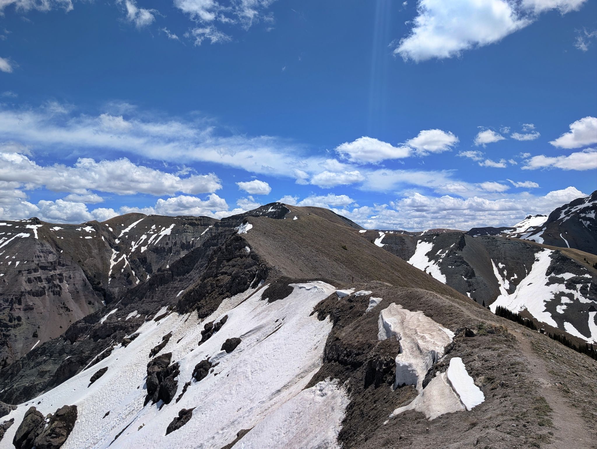
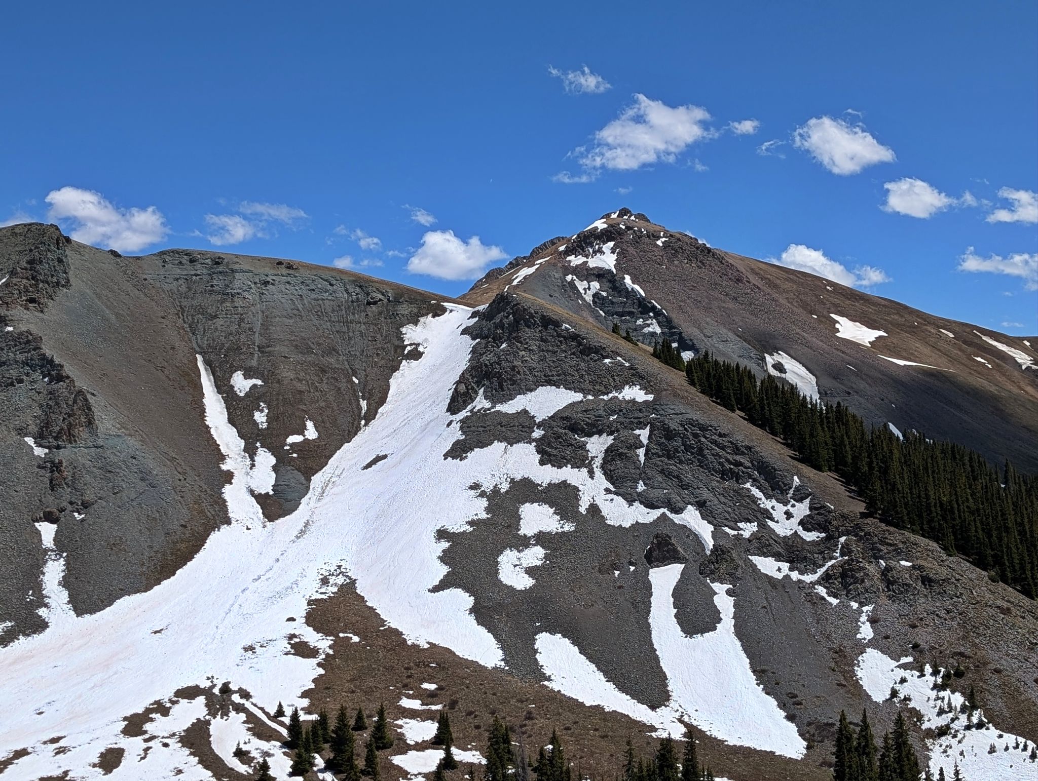
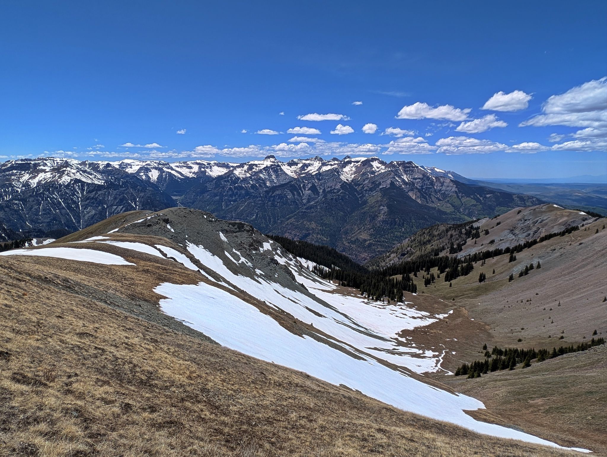
The Bridge of Heaven trail follows the ridge on the right and up the pitch with the thin strip of snow
![Bridge of heaven 06]()
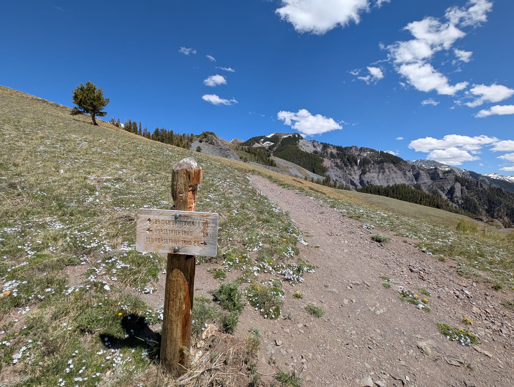
The Bridge of Heaven junction 2800ft above town
![Bridge of heaven 07]()
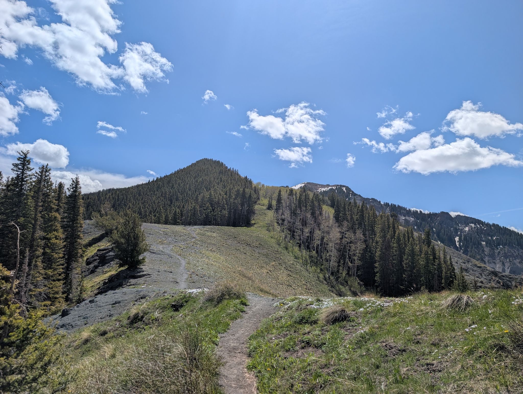
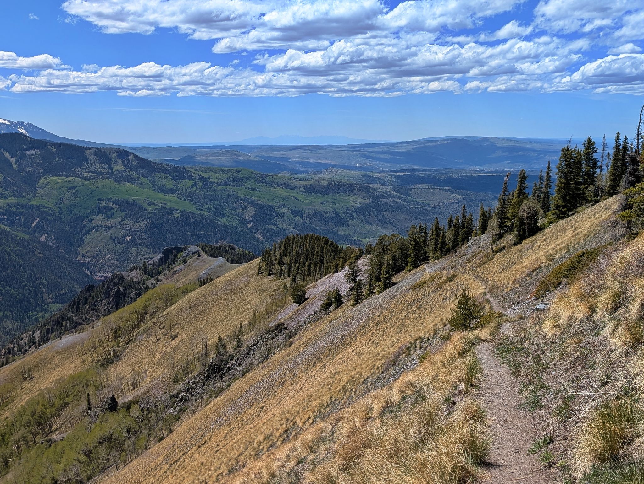
Like the OHT trail.. the Bridge of Heaven trail is also well maintained
![Bridge of heaven 08]()
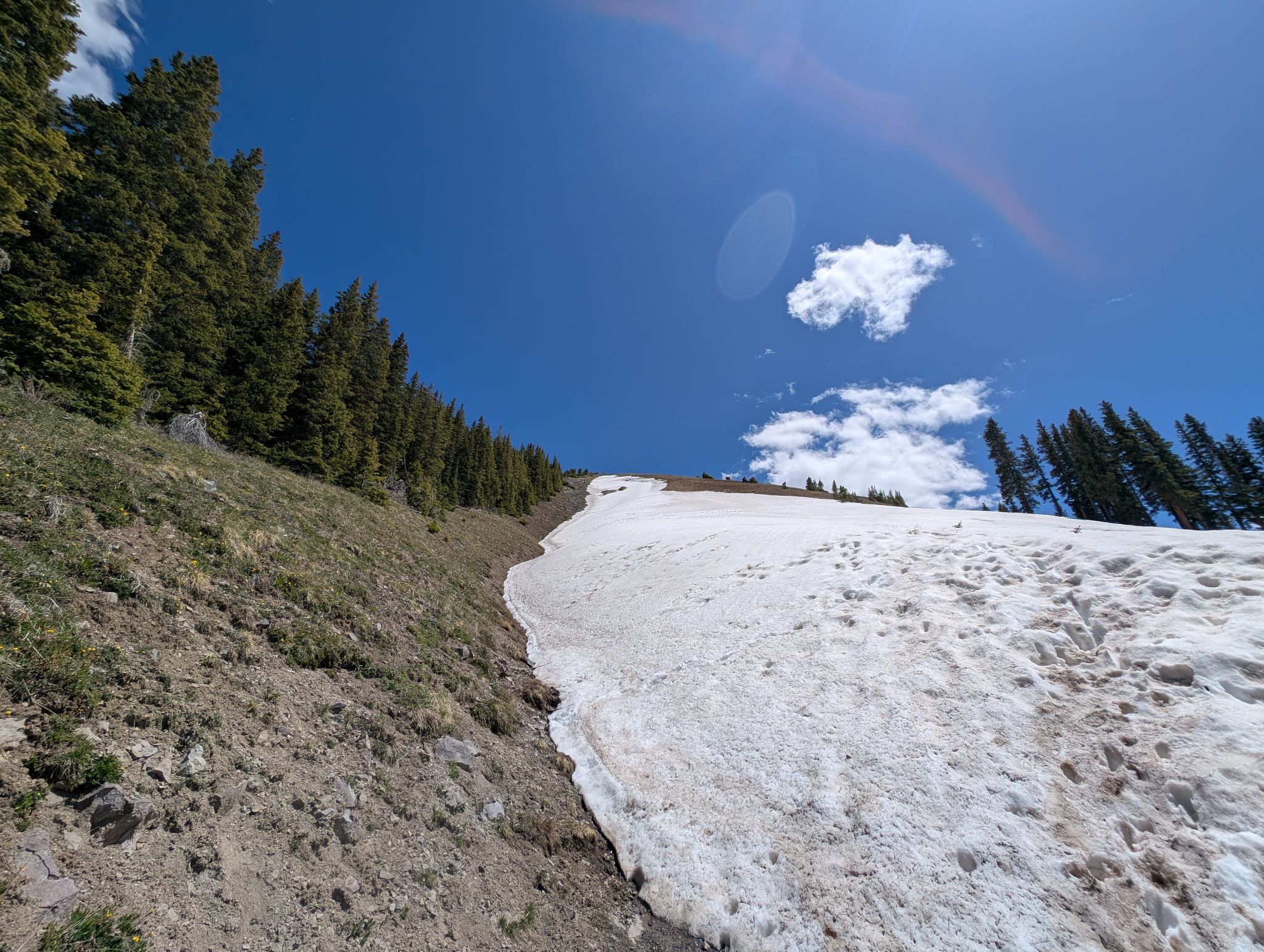
A steep section along the thin strip of snow
![Bridge of heaven 09]()
Approaching another Bridge of Heaven sign and junction. The summit of Cascade Mountain aka Bridge of Heaven is 0.3 miles of easy hiking along the ridge from the sign
![Bridge of heaven 10]()
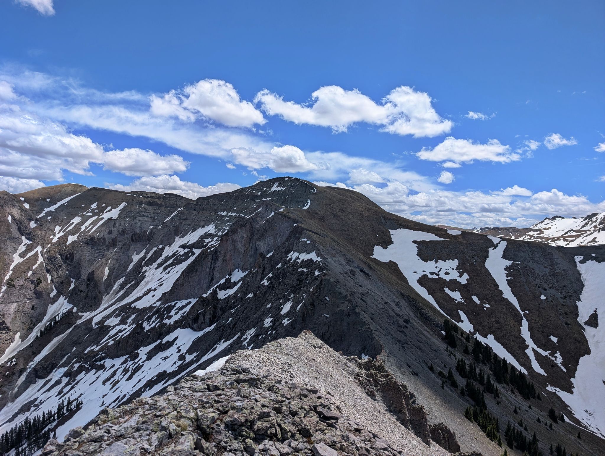
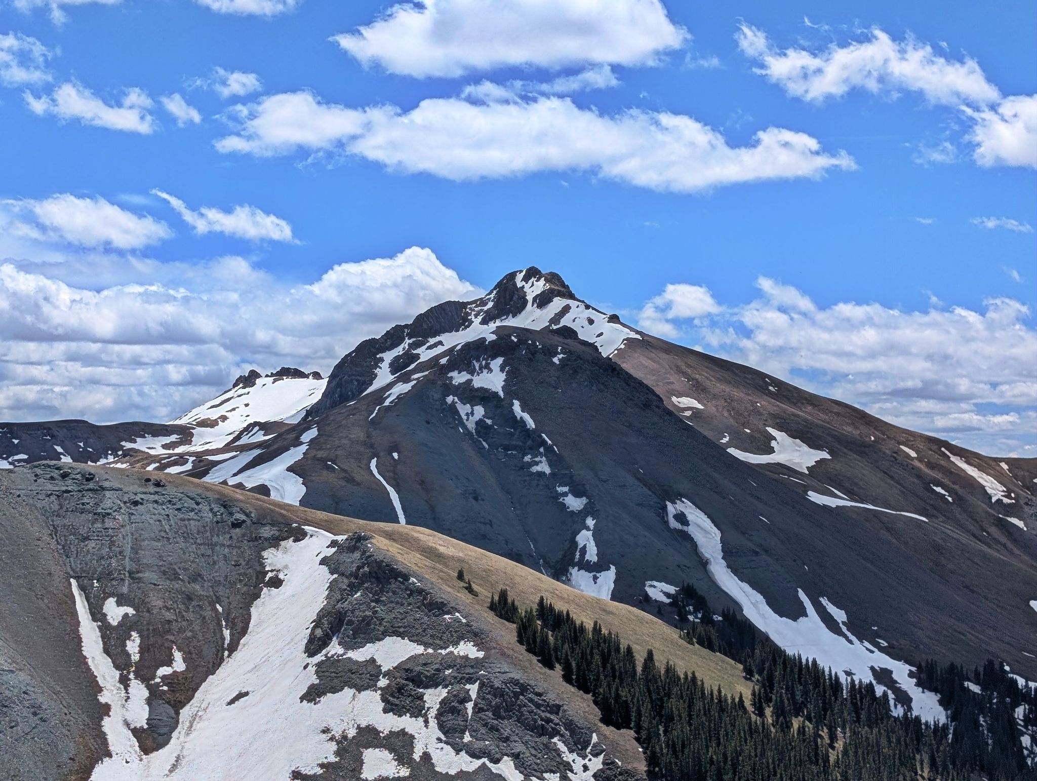
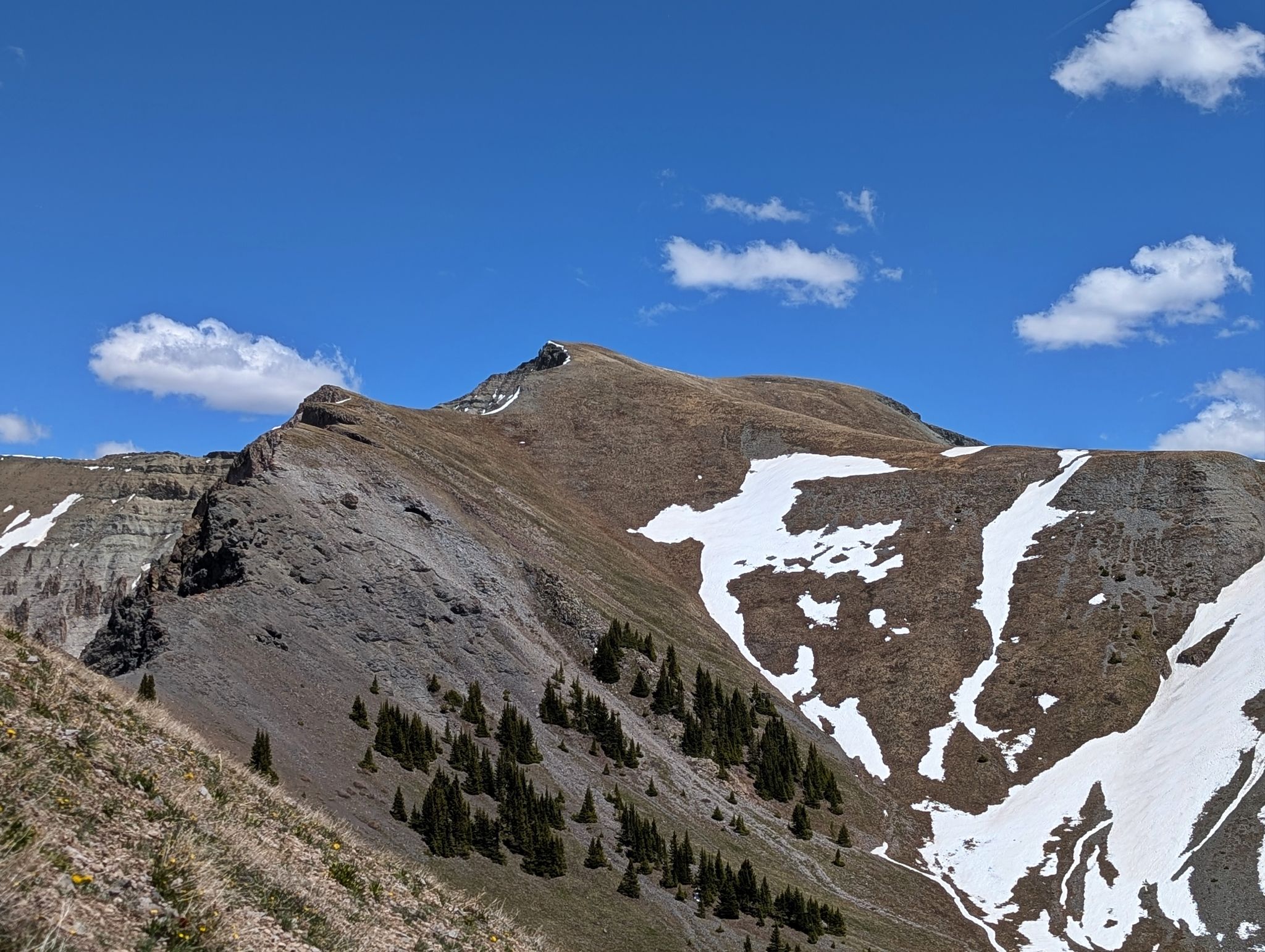
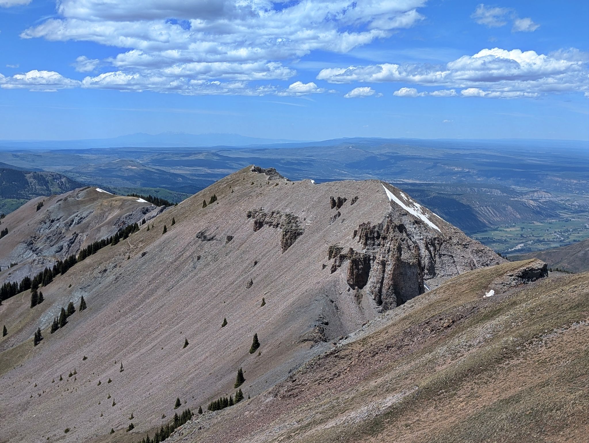
From the summit of Cascade Mountain PT12,741 looked too close to pass up
![Bridge of heaven 11]()
Cow Benchmark also looked close but that wasn't in the cards for this outing
![Bridge of heaven 12]()
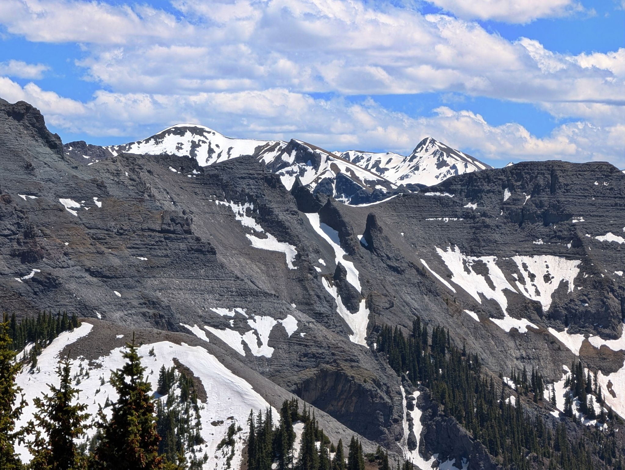
Coxcomb and Redcliff to the northeast
![Bridge of heaven 13]()
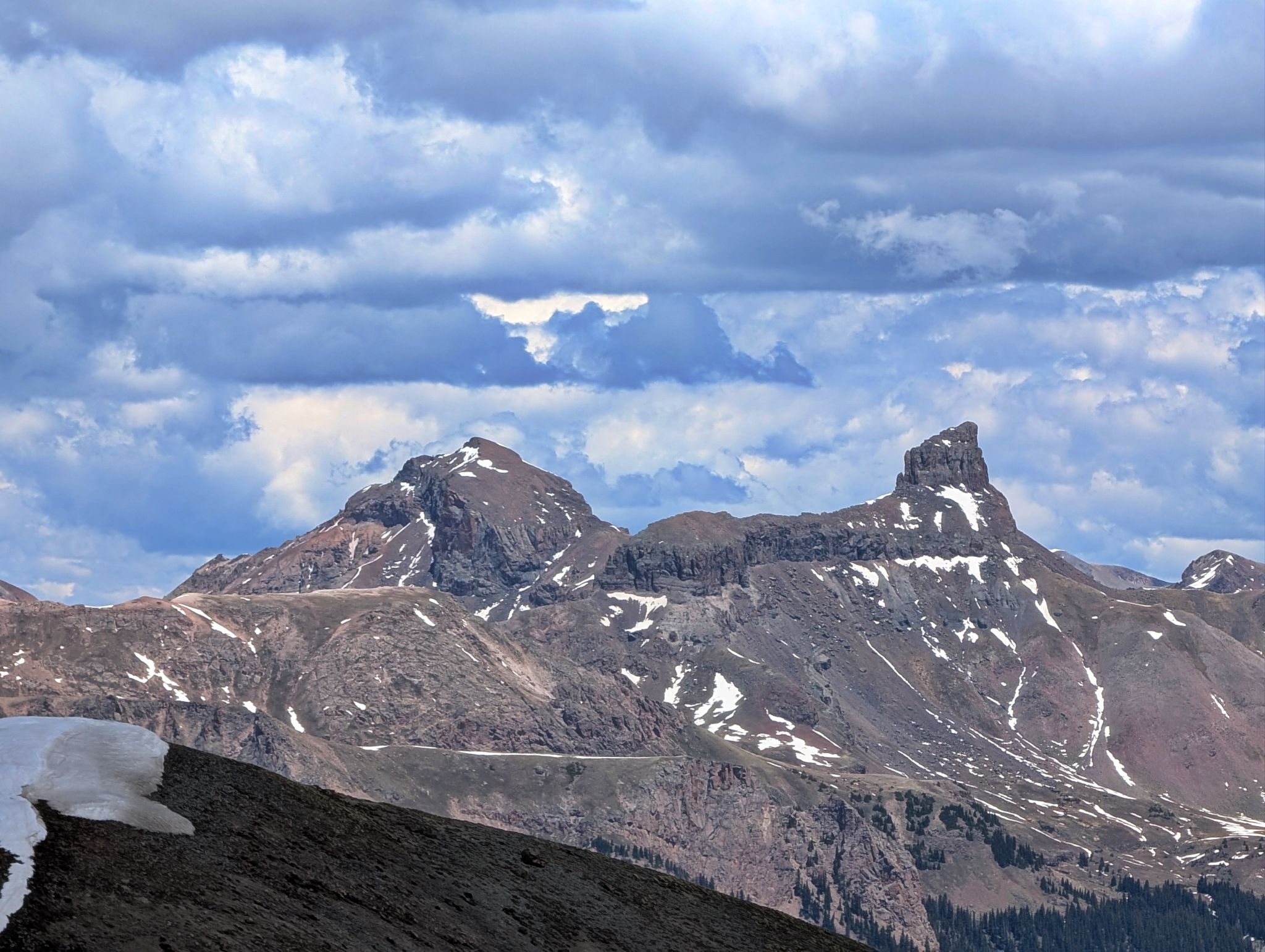
Southern views toward Brown Mountain.. Abrams north face aka The Howler right of center
![Bridge of heaven 14]()
A view to PT12,741 as I descend Cascade into the basin below
![Bridge of heaven 15]()
Looking towards Cow BM as I descend from Cascade
![Bridge of heaven 16]()
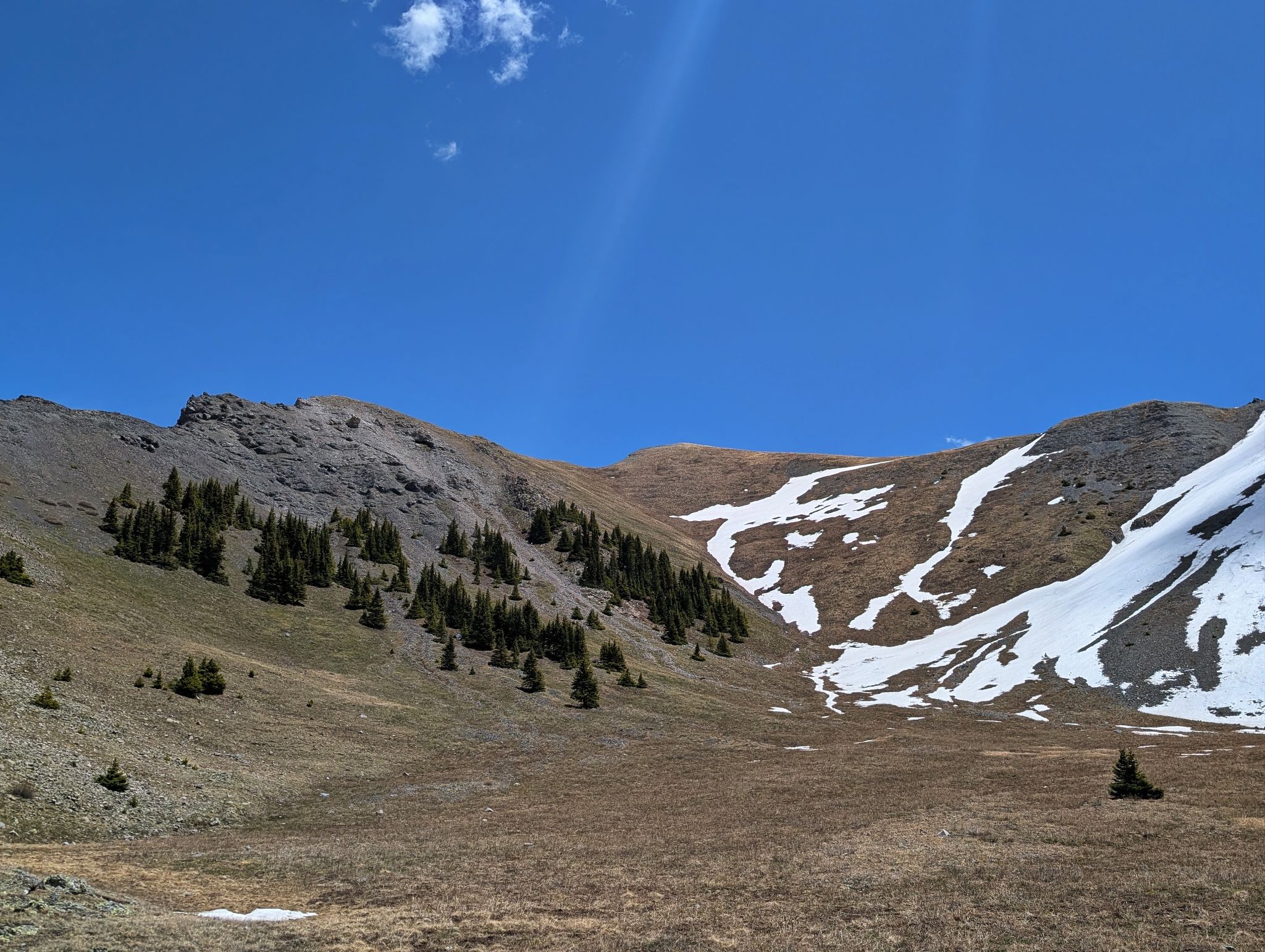
PT12,741 from the basin defined by Cascade, Cow and PT12,741
![Bridge of heaven 17]()
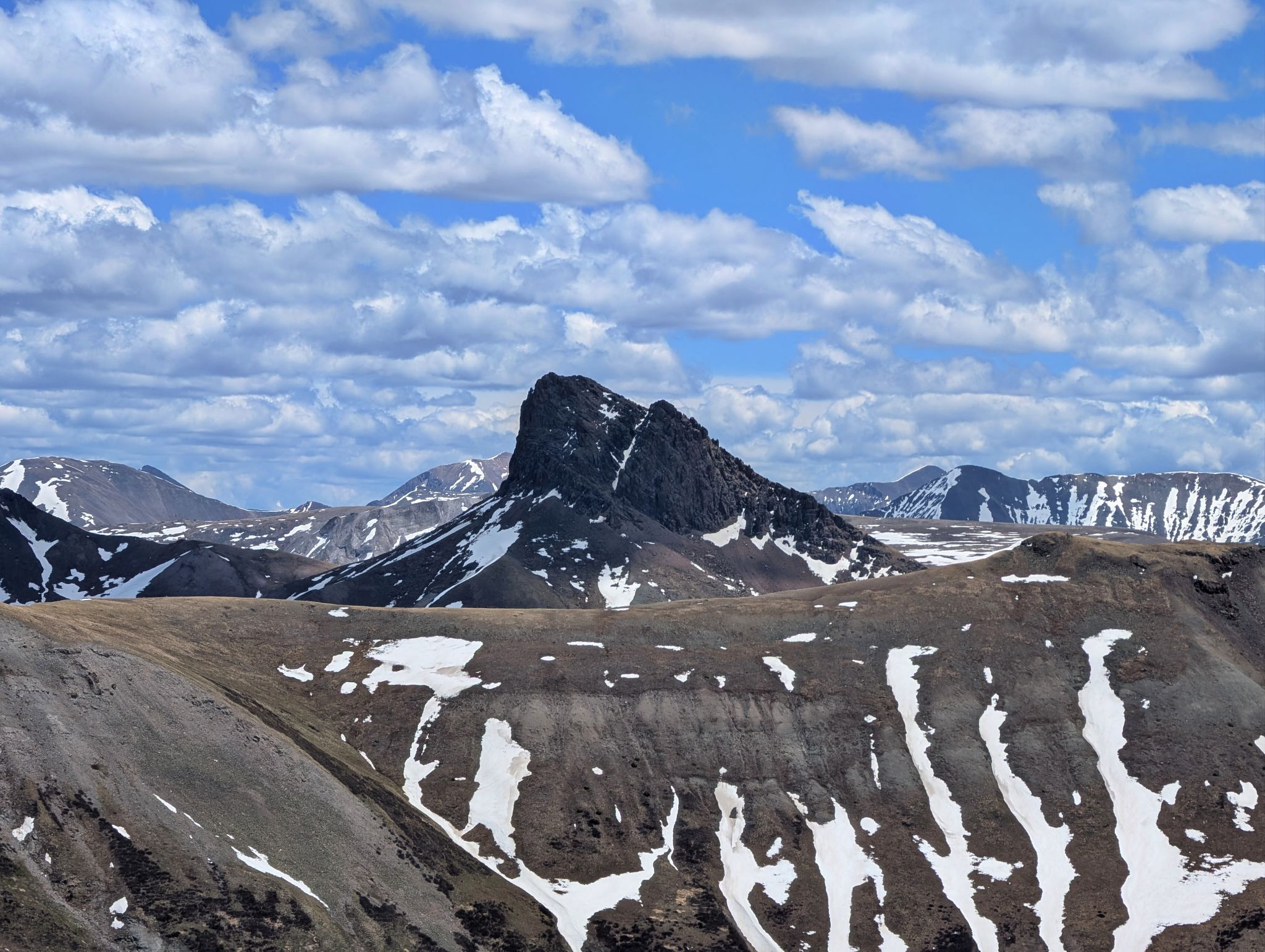
Wildhorse Peak to the east looking rad from PT12,741's summit
![Bridge of heaven 18]()
Cow BM across the way
![Bridge of heaven 19]()
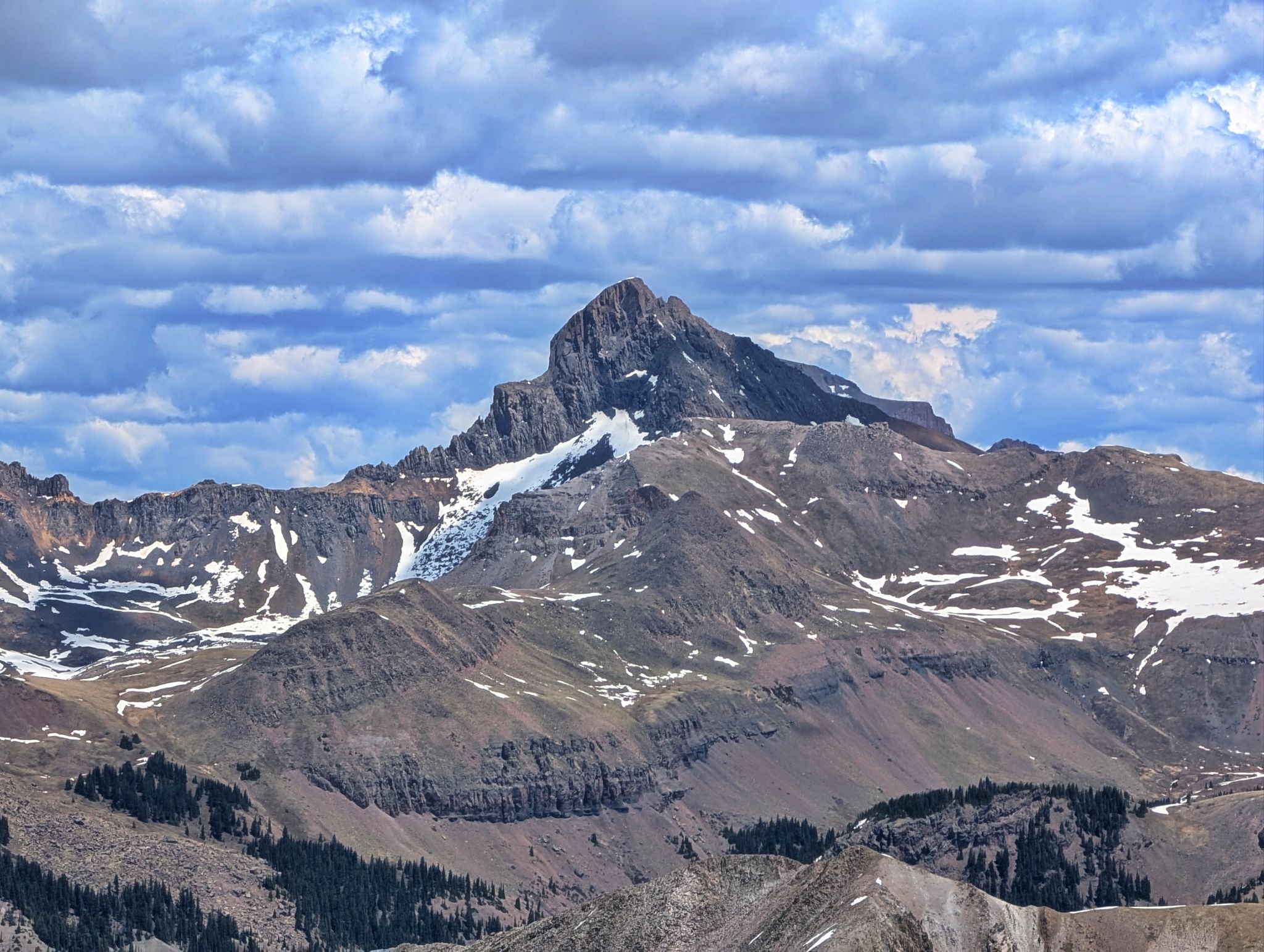
Wetterhorn to the northeast
![Bridge of heaven 20]()
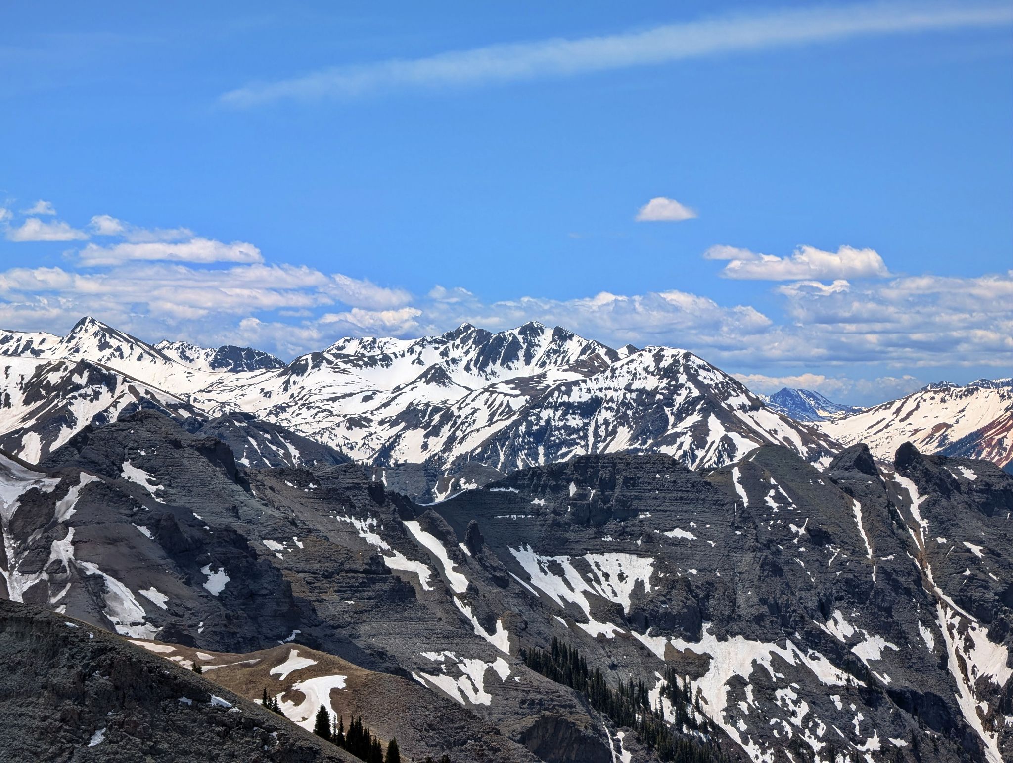
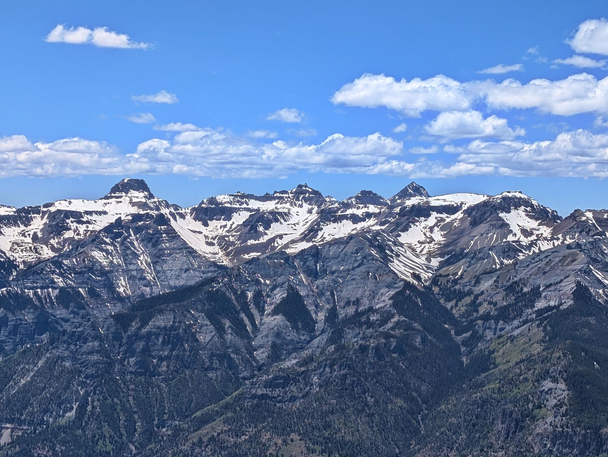
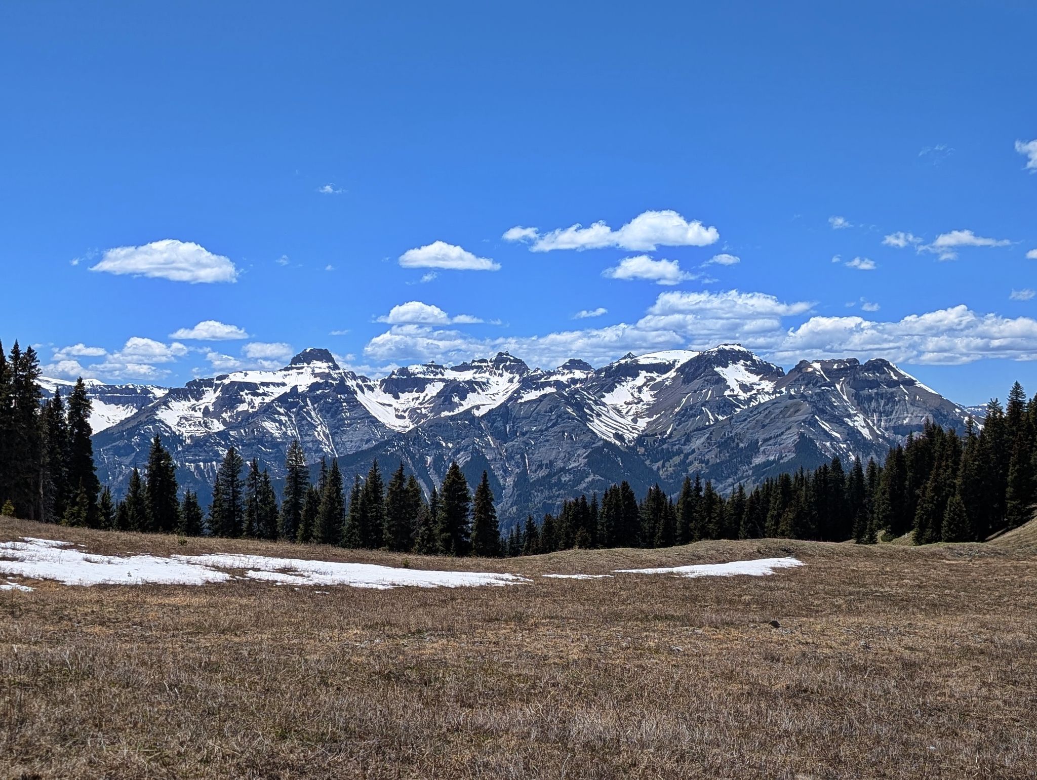
Western views of Sneffels and company... dang... views are pretty nice up here!
![Bridge of heaven 21]()
Descending back into the basin below Cascade.
![Bridge of heaven 22]()
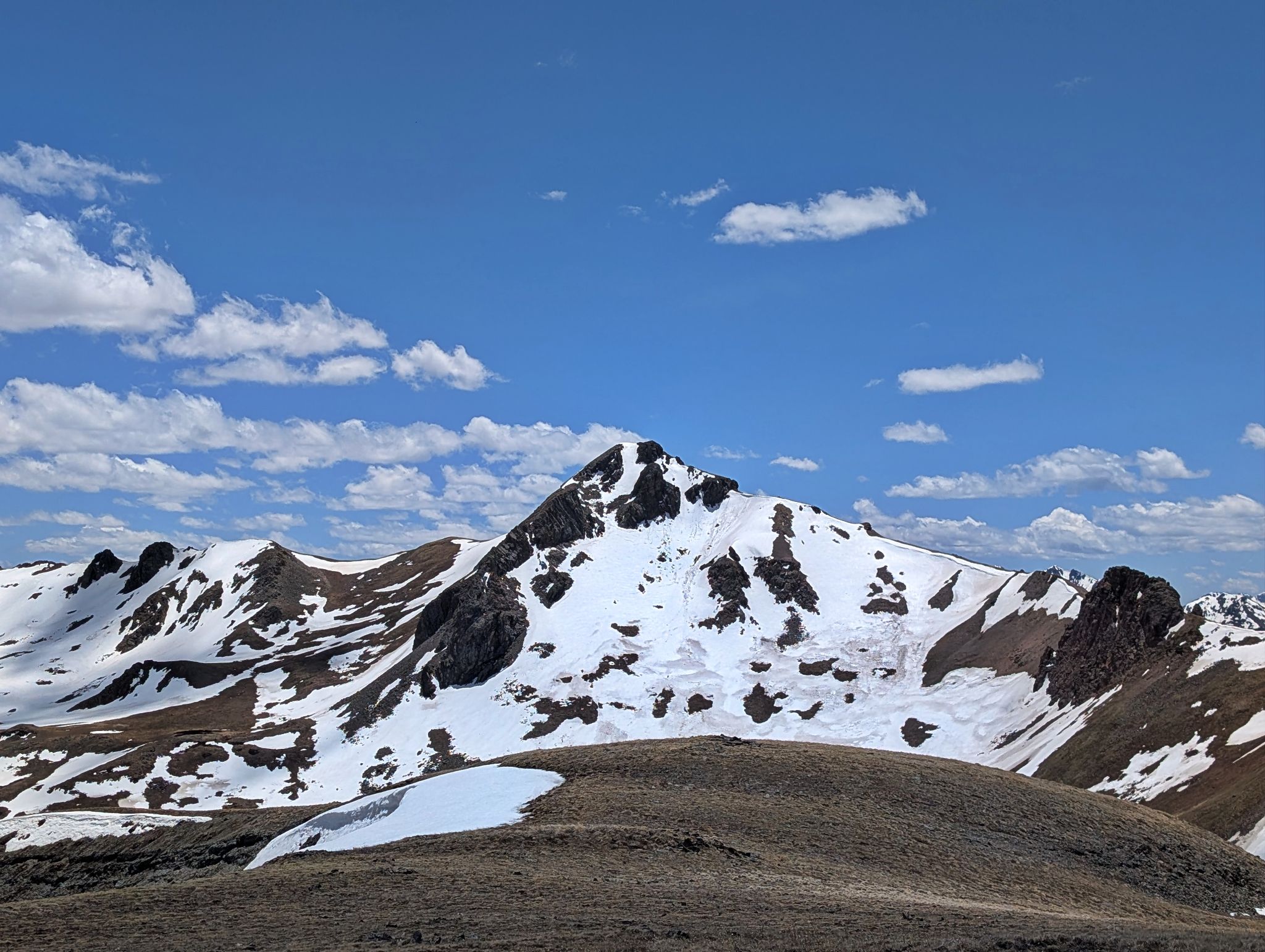
Cascade Mountain aka Bridge of Heaven on descent from PT12,741
![Bridge of heaven 23]()
Views from the basin below. I would find the trail and climb back to the Bridge of Heaven ridge
![Bridge of heaven 24]()
Southern views towards Red #3 as I climbed out of the basin
![Bridge of heaven 25]()
Almost back to the ridge
![Bridge of heaven 26]()
Easy cruising on the trail
![Bridge of heaven 27]()
Almost back to the OHT junction
![Bridge of heaven 28]()
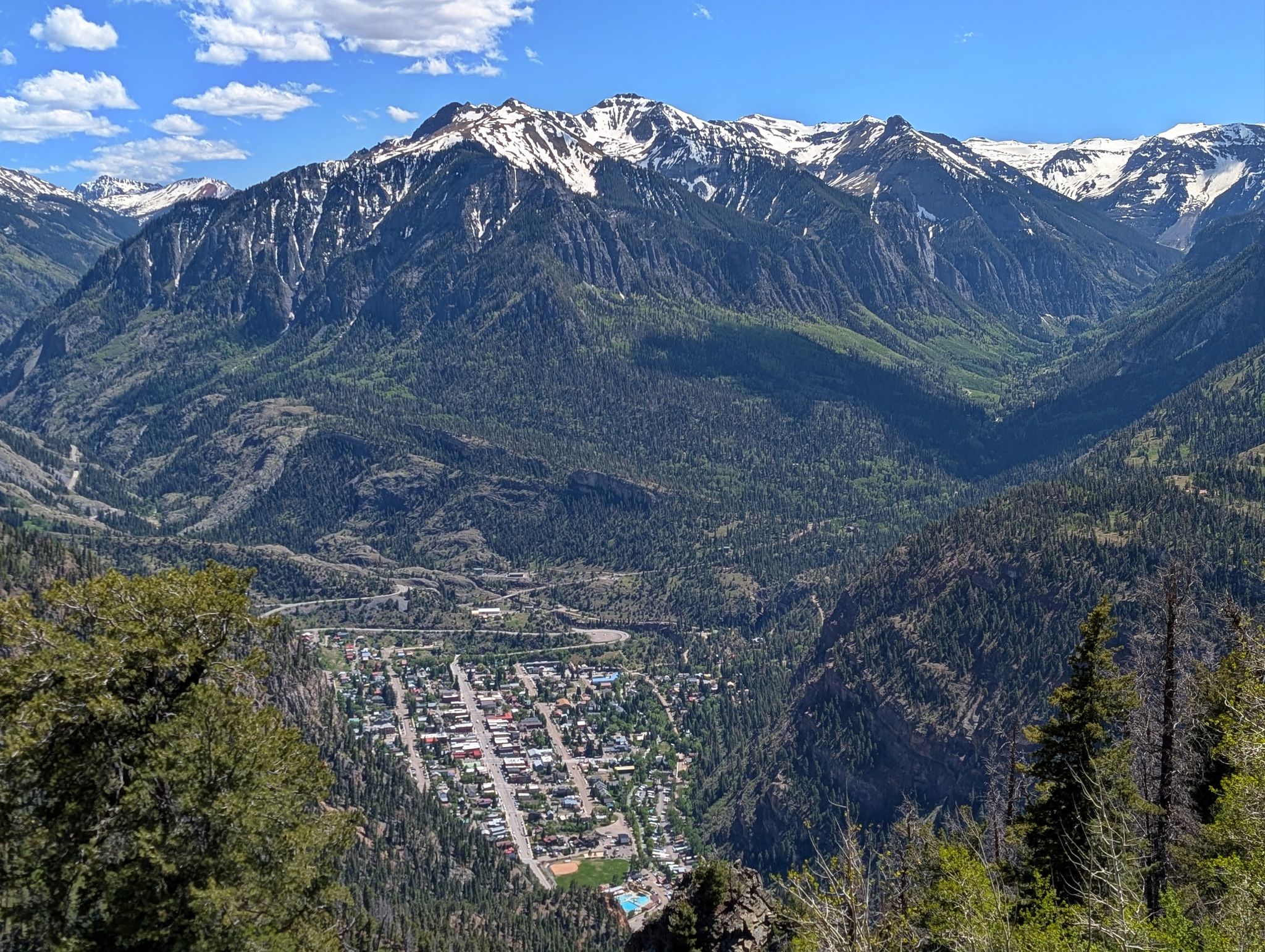
Views of town from Gold Hill... Hot Springs calling!