Bear Mountain
Date: 07/5/2025
Partner: Kristi Henes, Terri Stashick
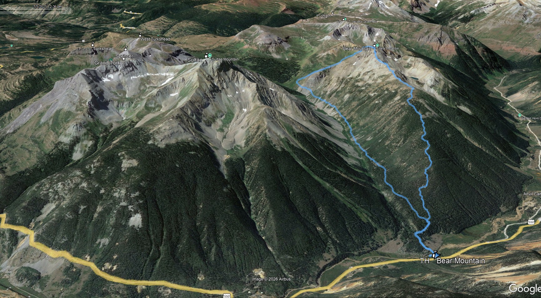
Trailhead: US 550 just east of CR7 intersection
Distance: 7.4m
Elevation Gain: 3600ft
Duration: 5hrs 50min (30 minutes of summit time)
GPX
A great little hike just outside of Silverton with incredible views and some optional scrambling up high. Would love to come back and ski this one!
![Bear mountain 01]()
7.4m - 3600ft - 5hrs 50min
![Bear mountain 02]()
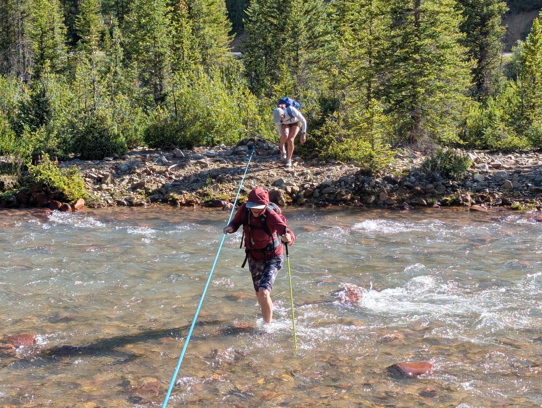
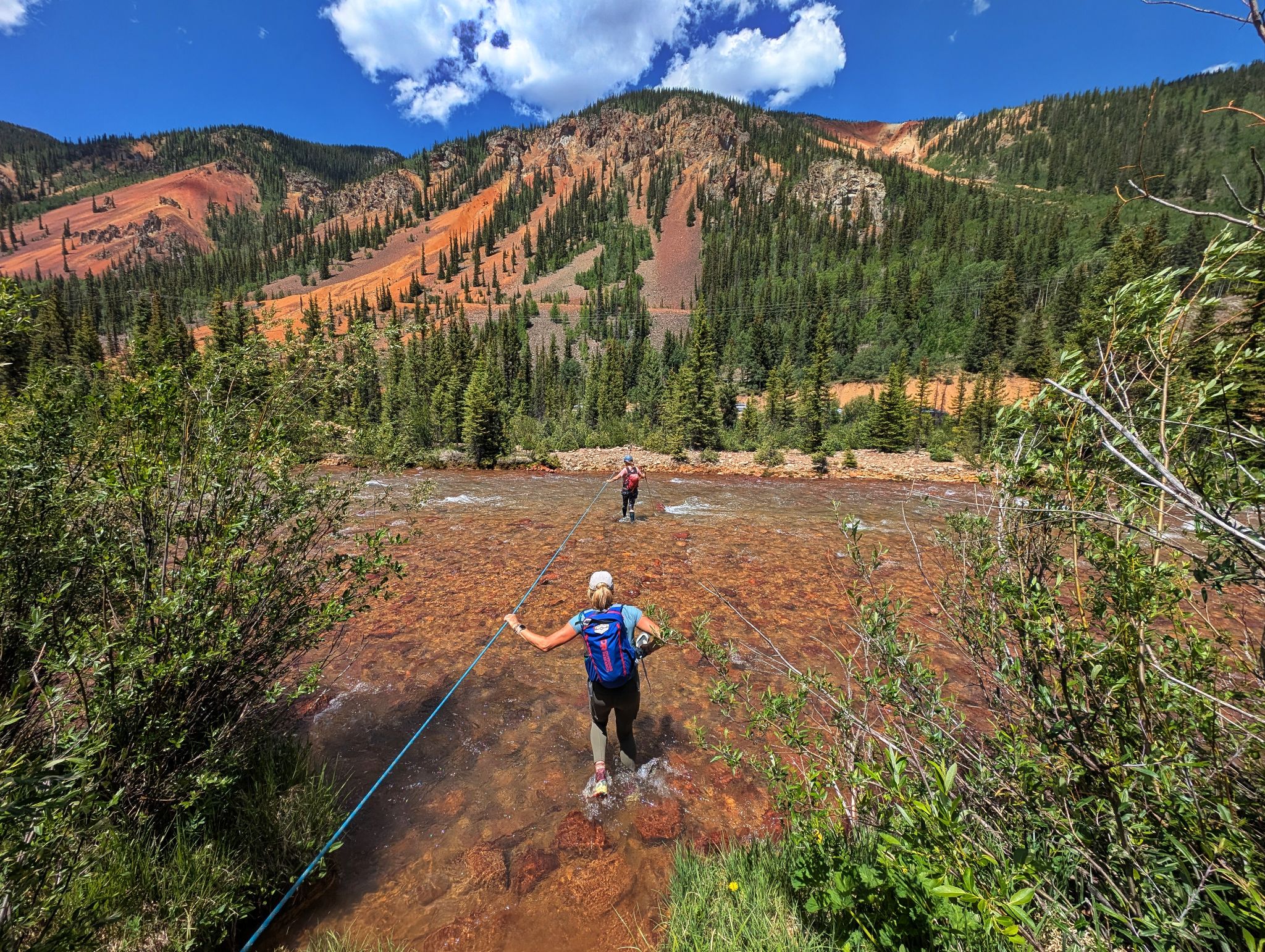
Guide installed line crossing Mineral Creek
![Bear mountain 03]()
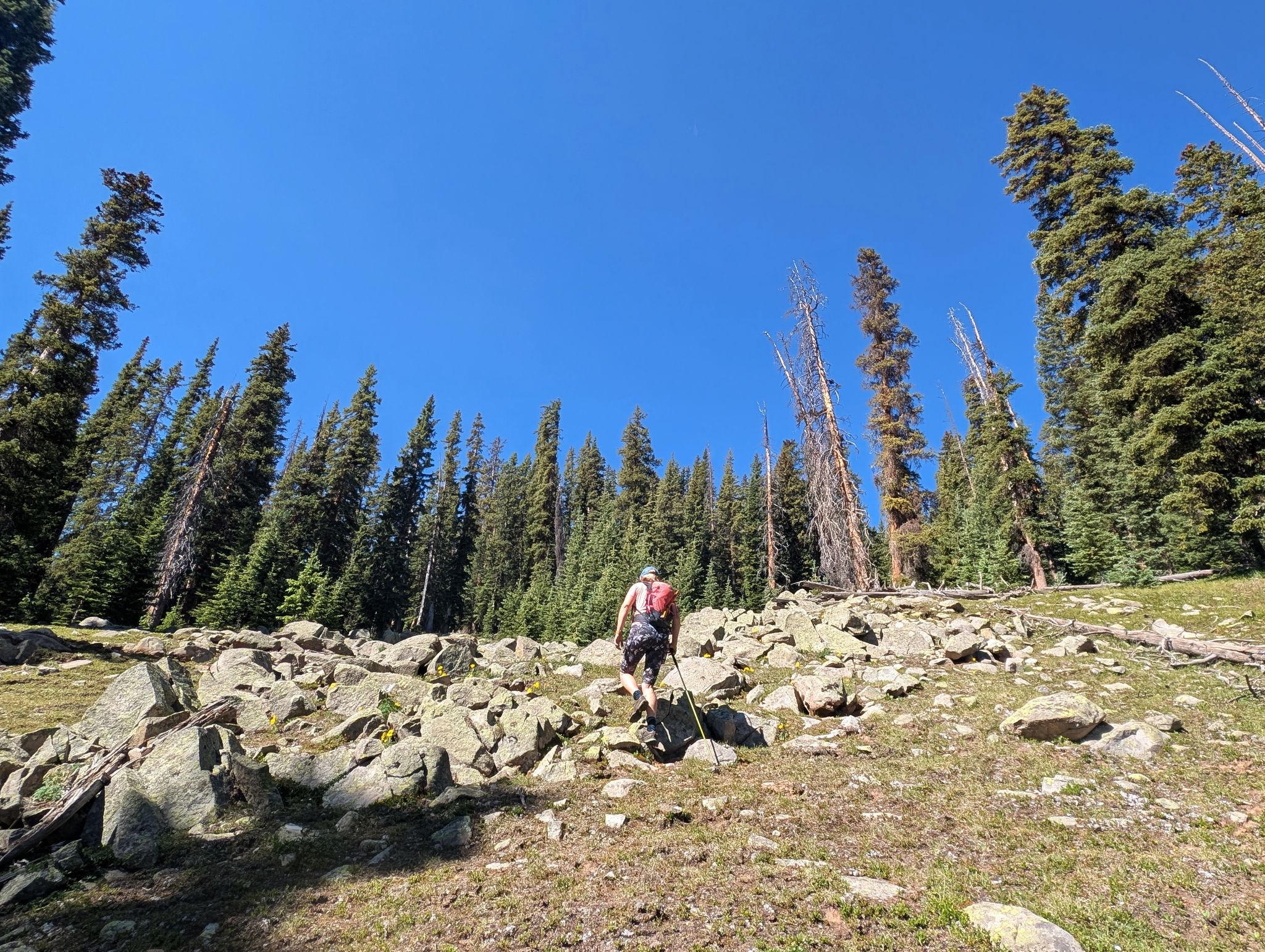
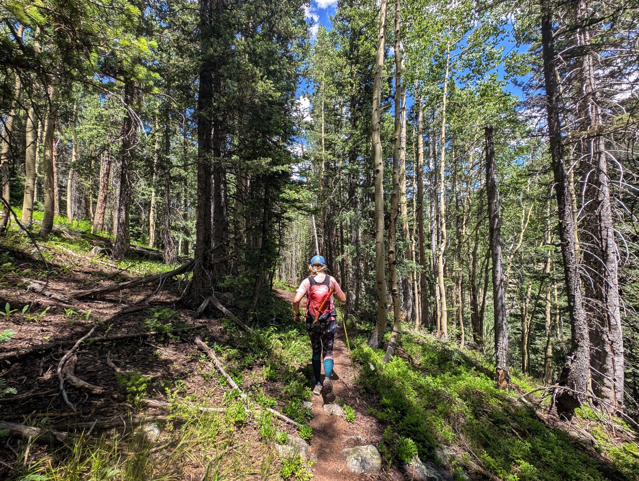
We ascended through brush and gained Bear's east ridge
![Bear mountain 04]()
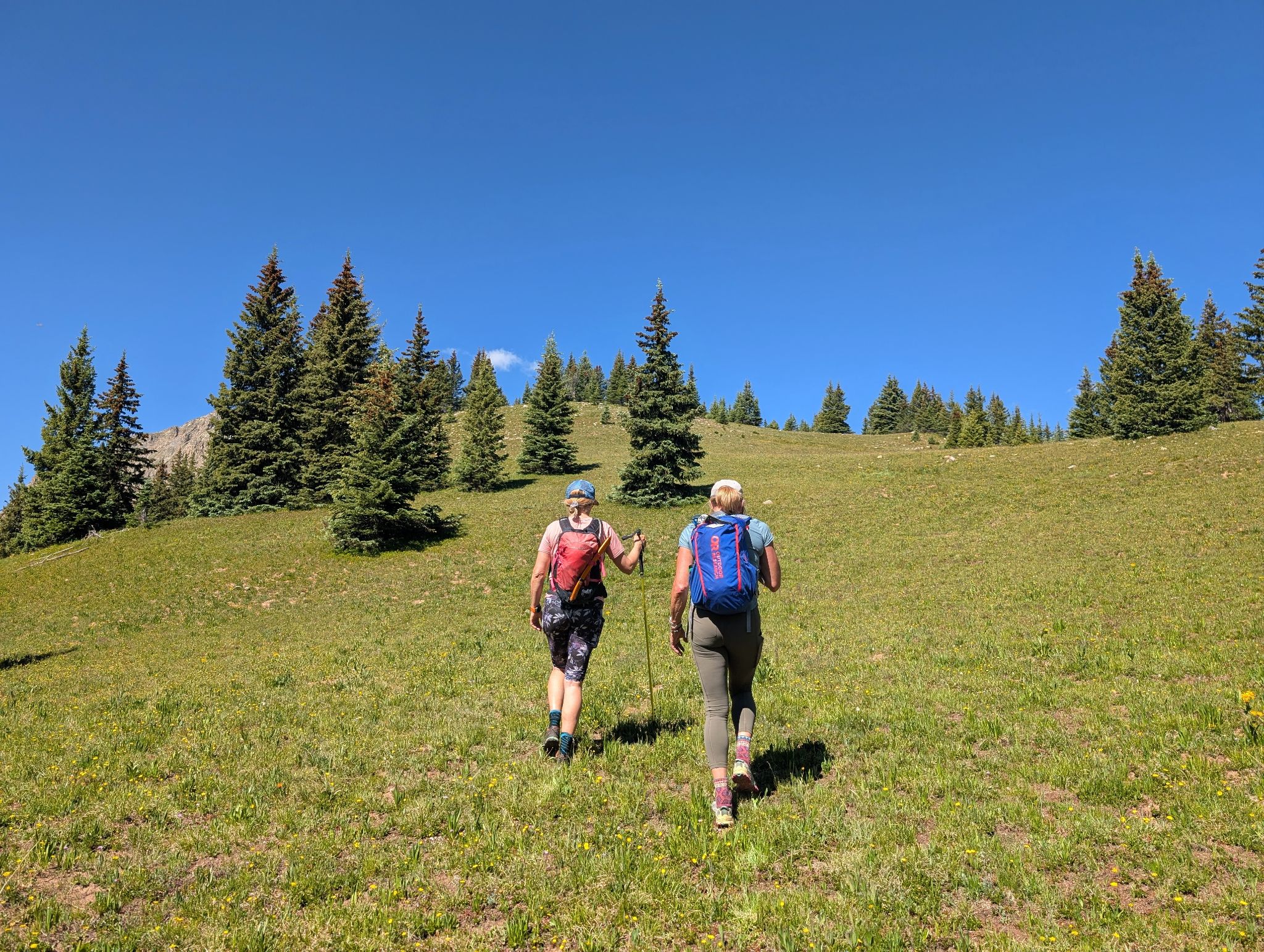
Terrain opened up as we got higher on the ridge
![Bear mountain 05]()
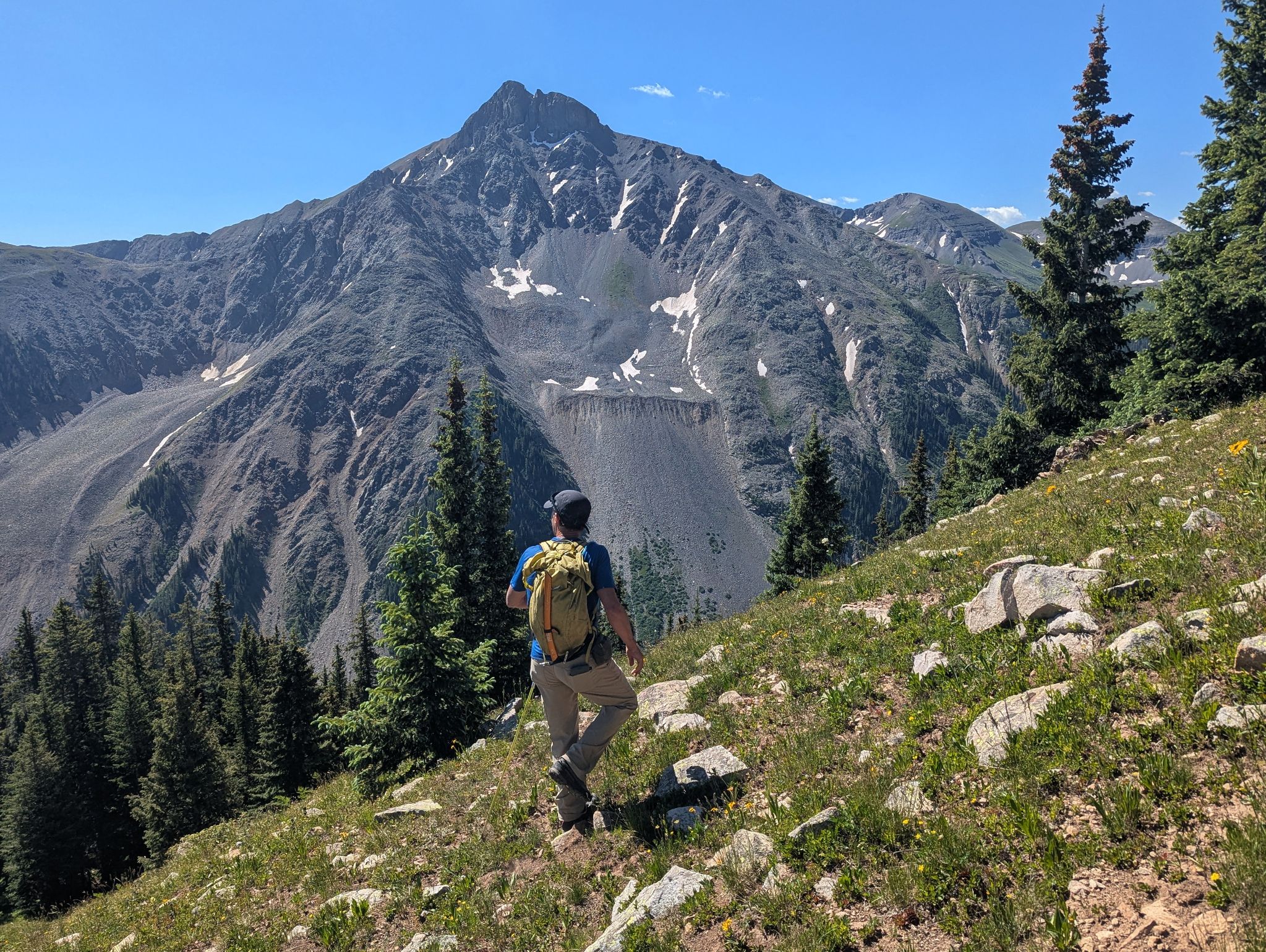
Sultan's north face dominated
![Bear mountain 06]()
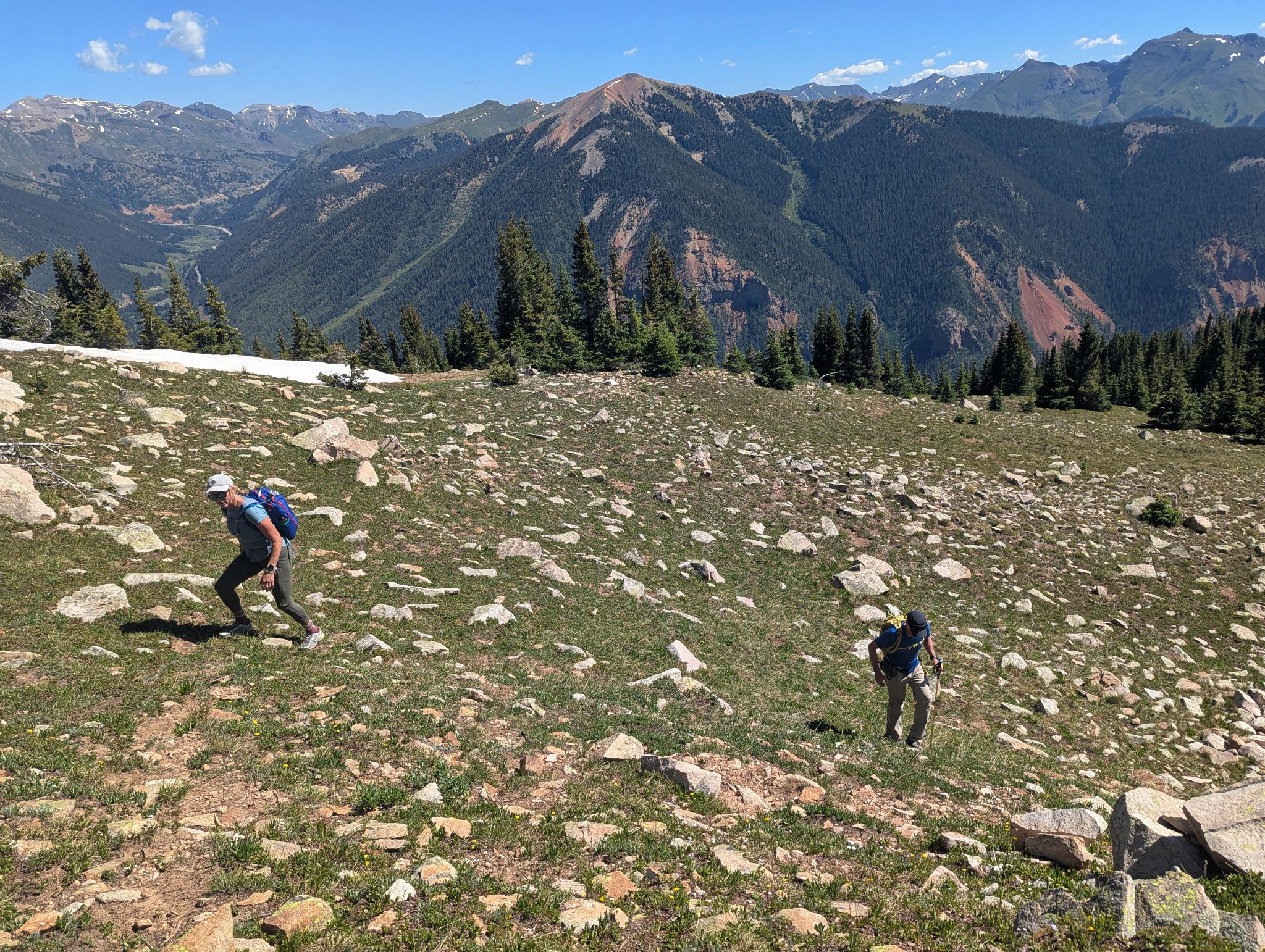
Making our way up the east ridge with Anvil Mountain behind
![Bear mountain 07]()
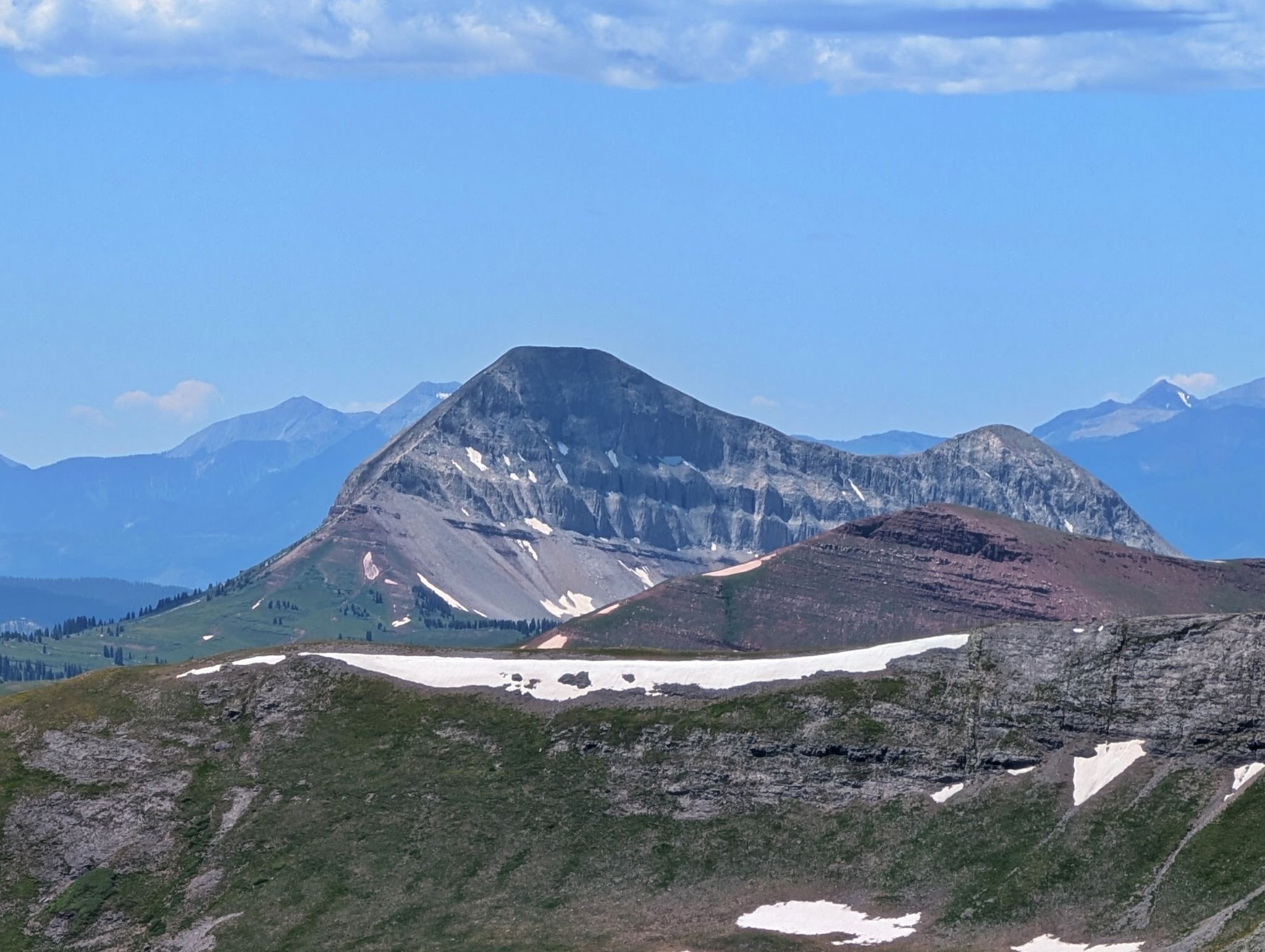
Lookout Peak to the northwest
![Bear mountain 08]()
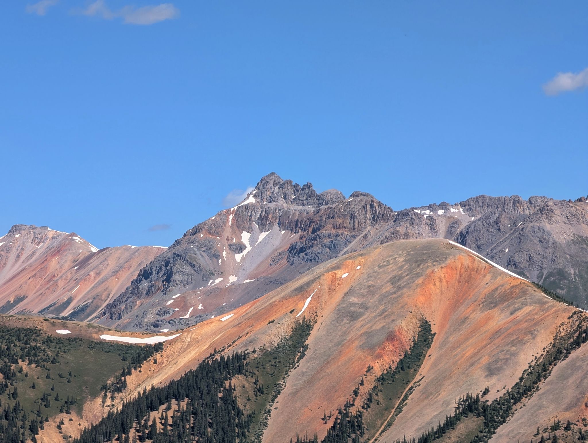
V4 and US Grant also to the northwest
![Bear mountain 09]()
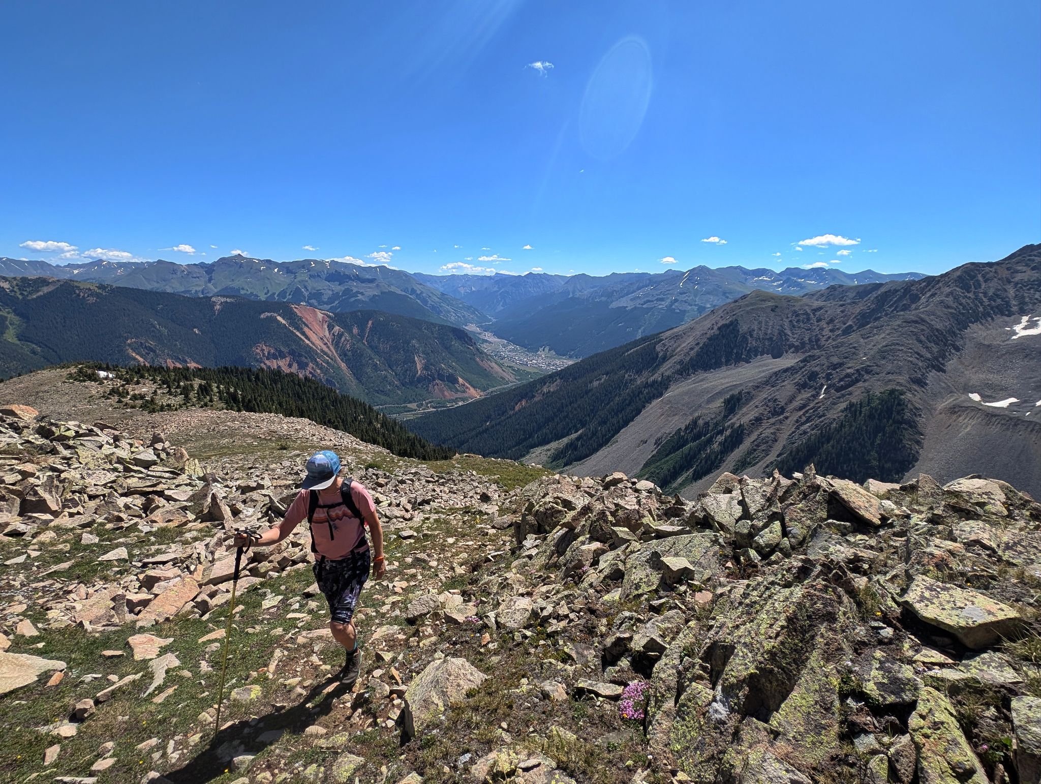
As we got higher the terrain became more rocky. Kristi hikes with the town of Silverton below
![Bear mountain 10]()
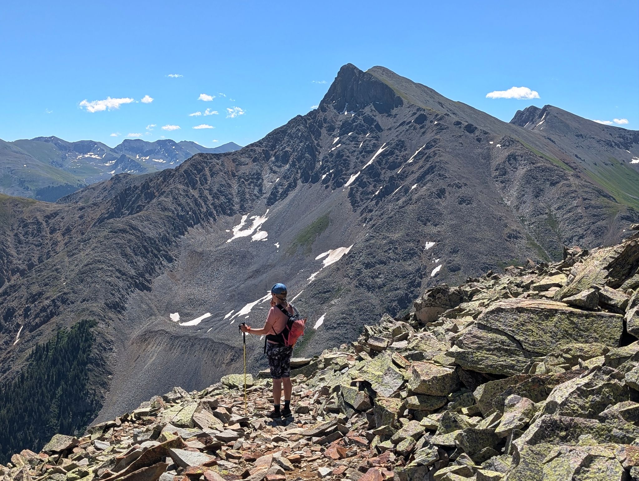
Taking in the views
![Bear mountain 11]()
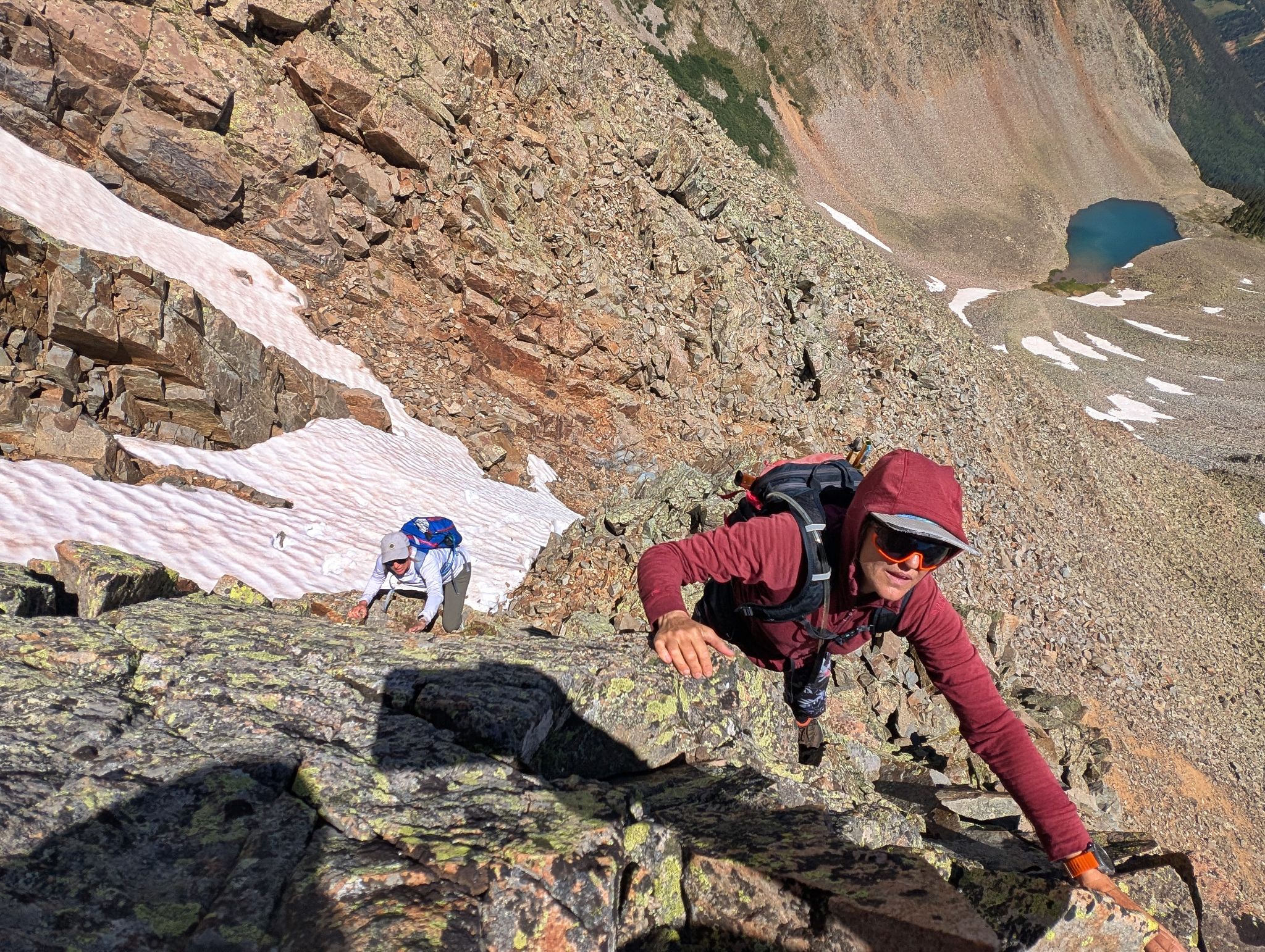
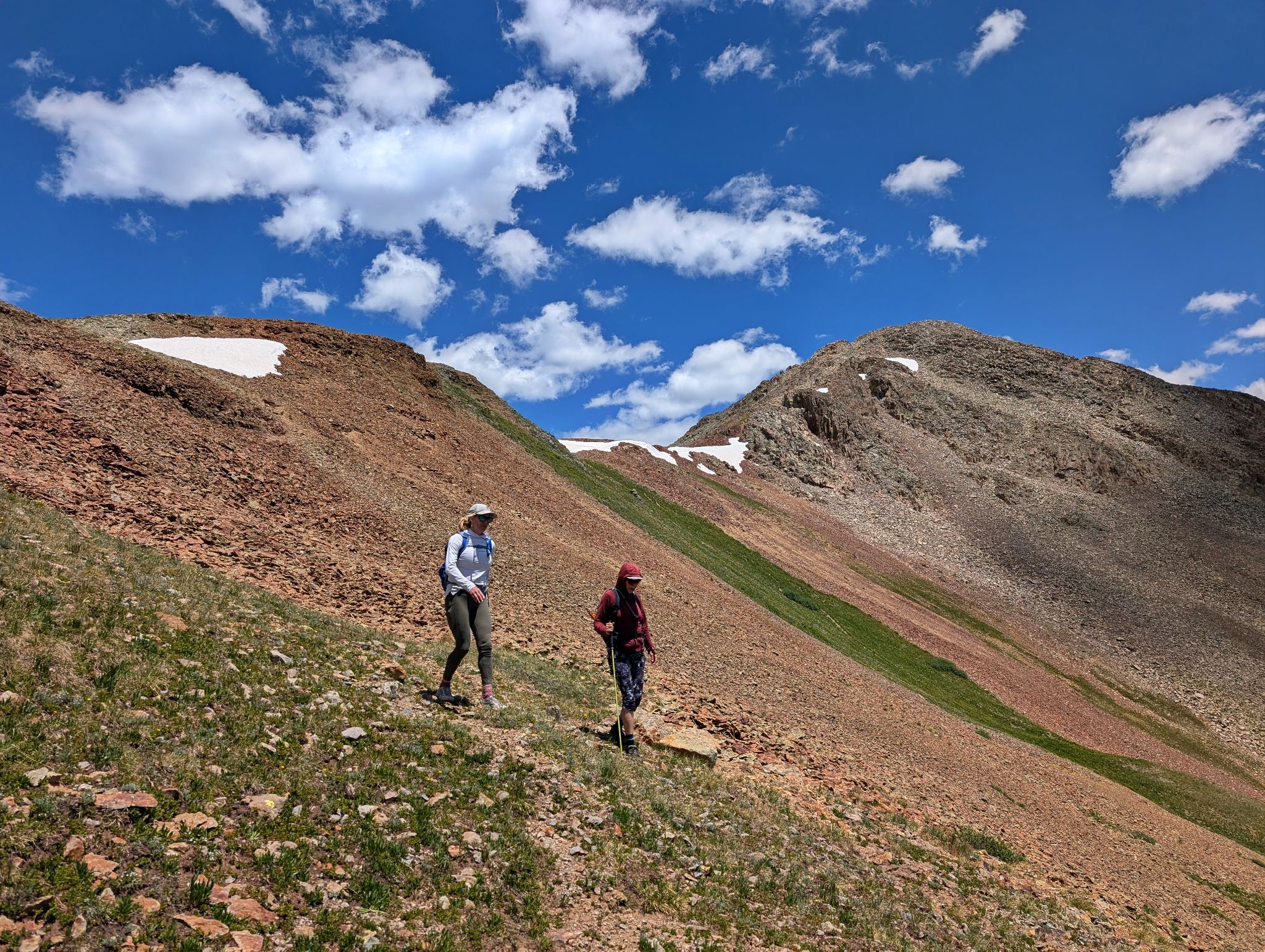
We opted for the scrambly terrain to lookers left of the lower snow fields
![Bear mountain 12]()
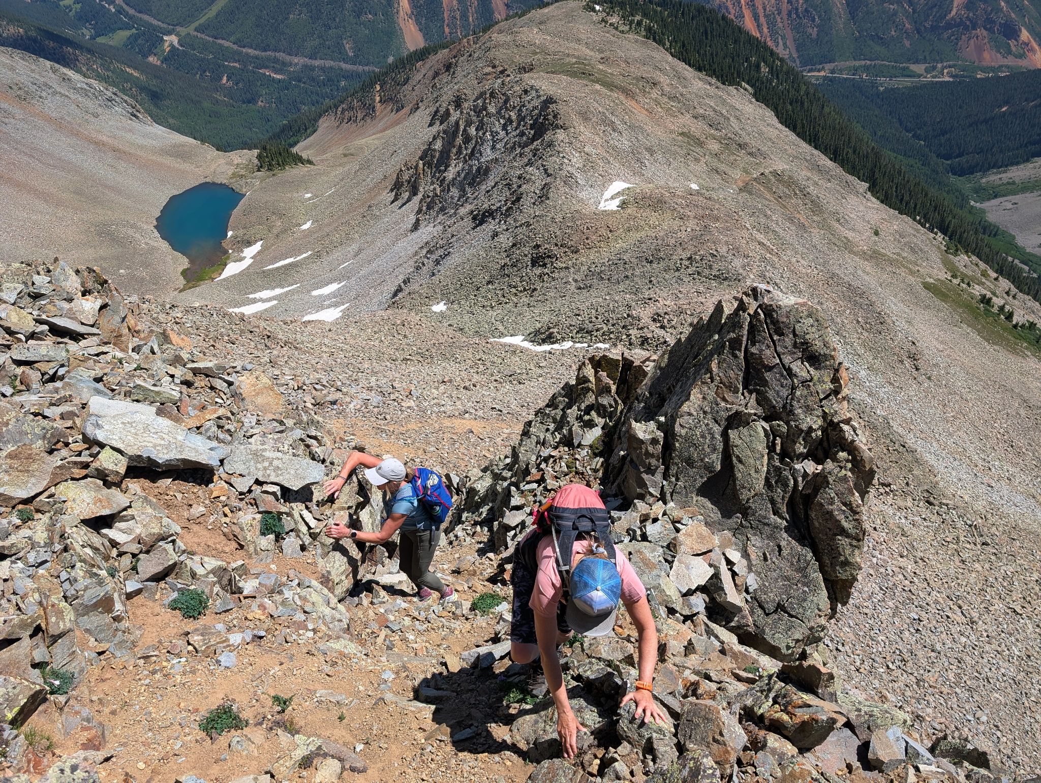
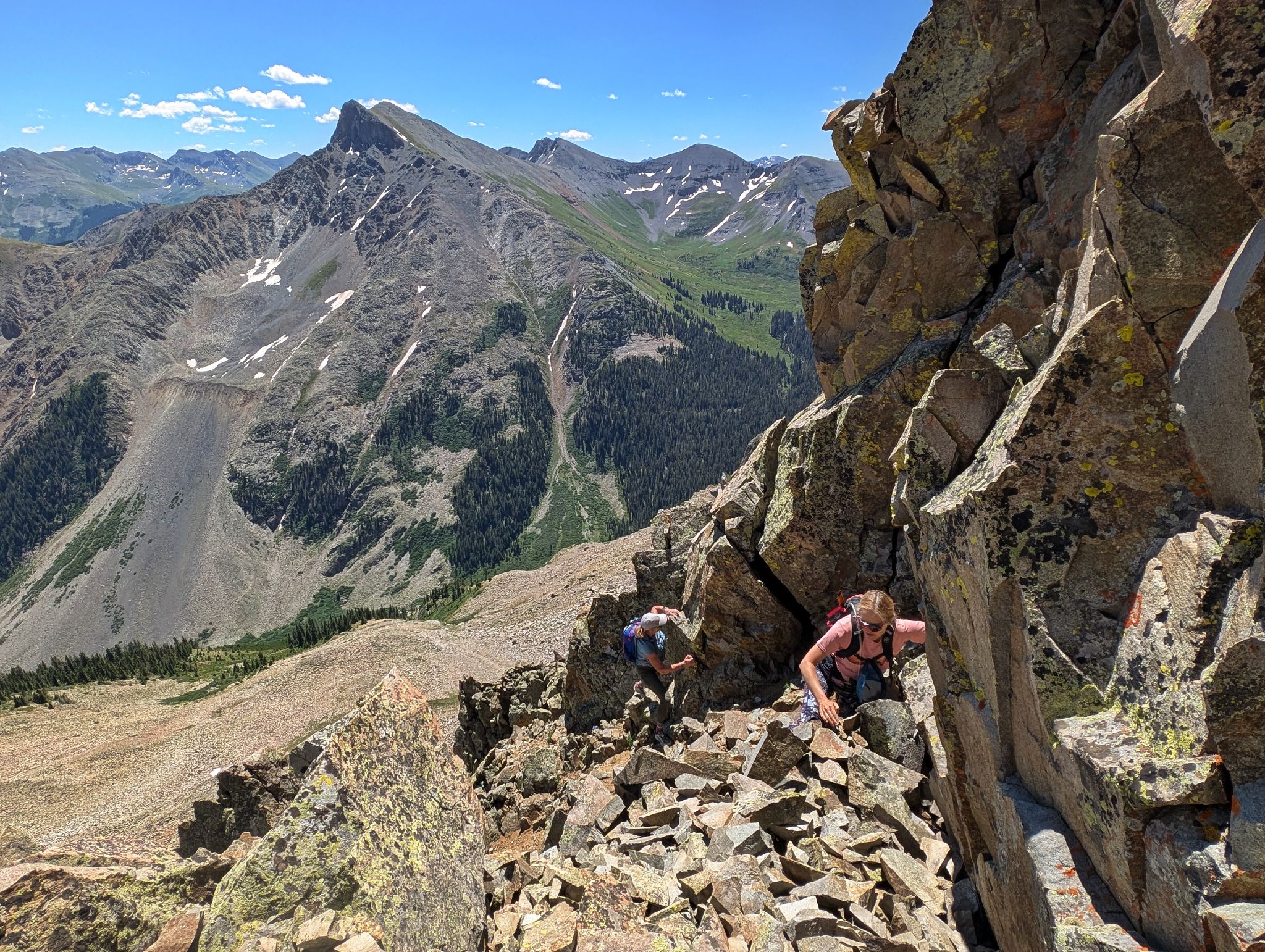
Loose rock on steeper terrain... we were careful not to knock blocks onto each other
![Bear mountain 13]()
![Bear mountain 14]()
![Bear mountain 15]()
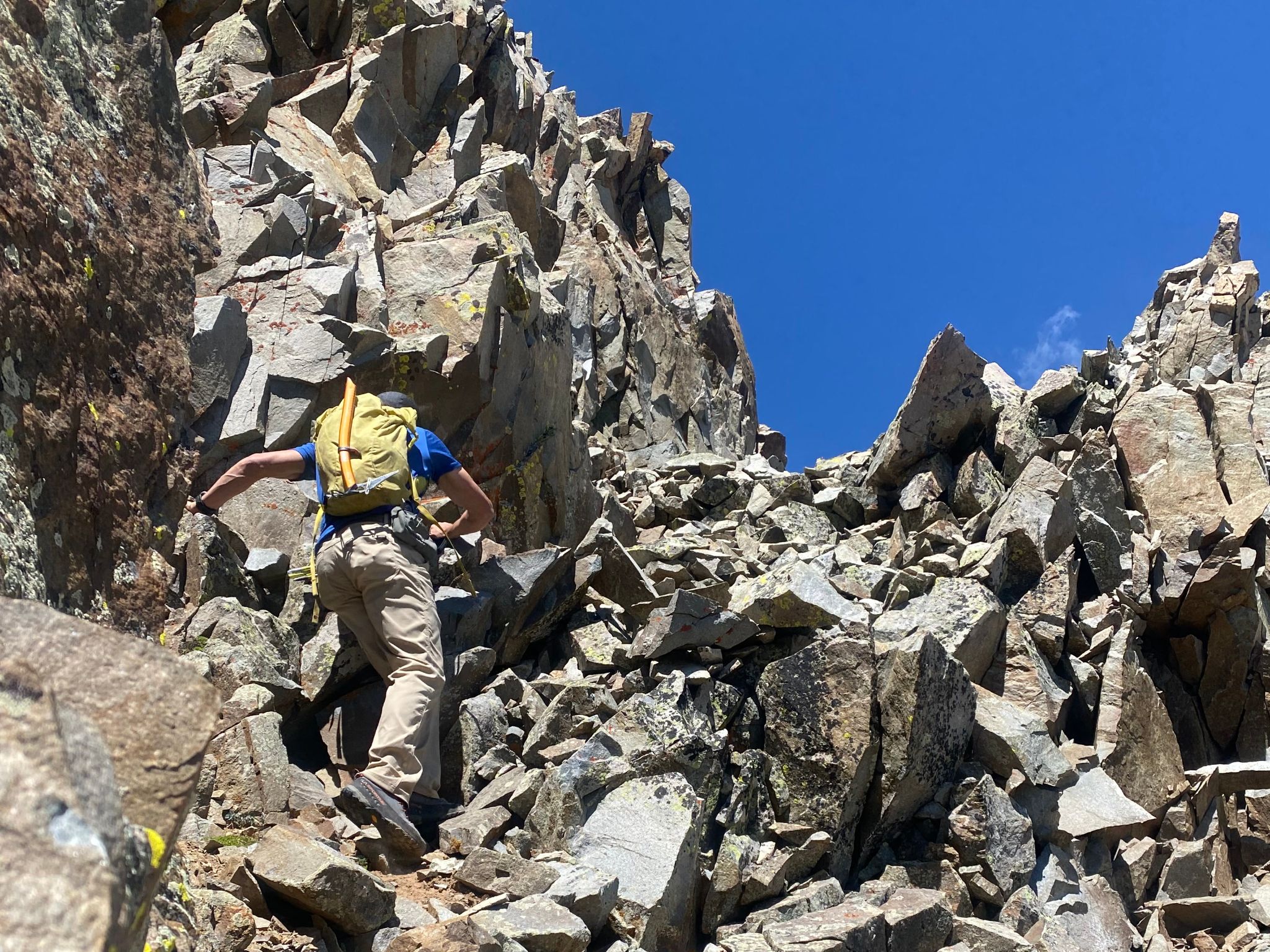
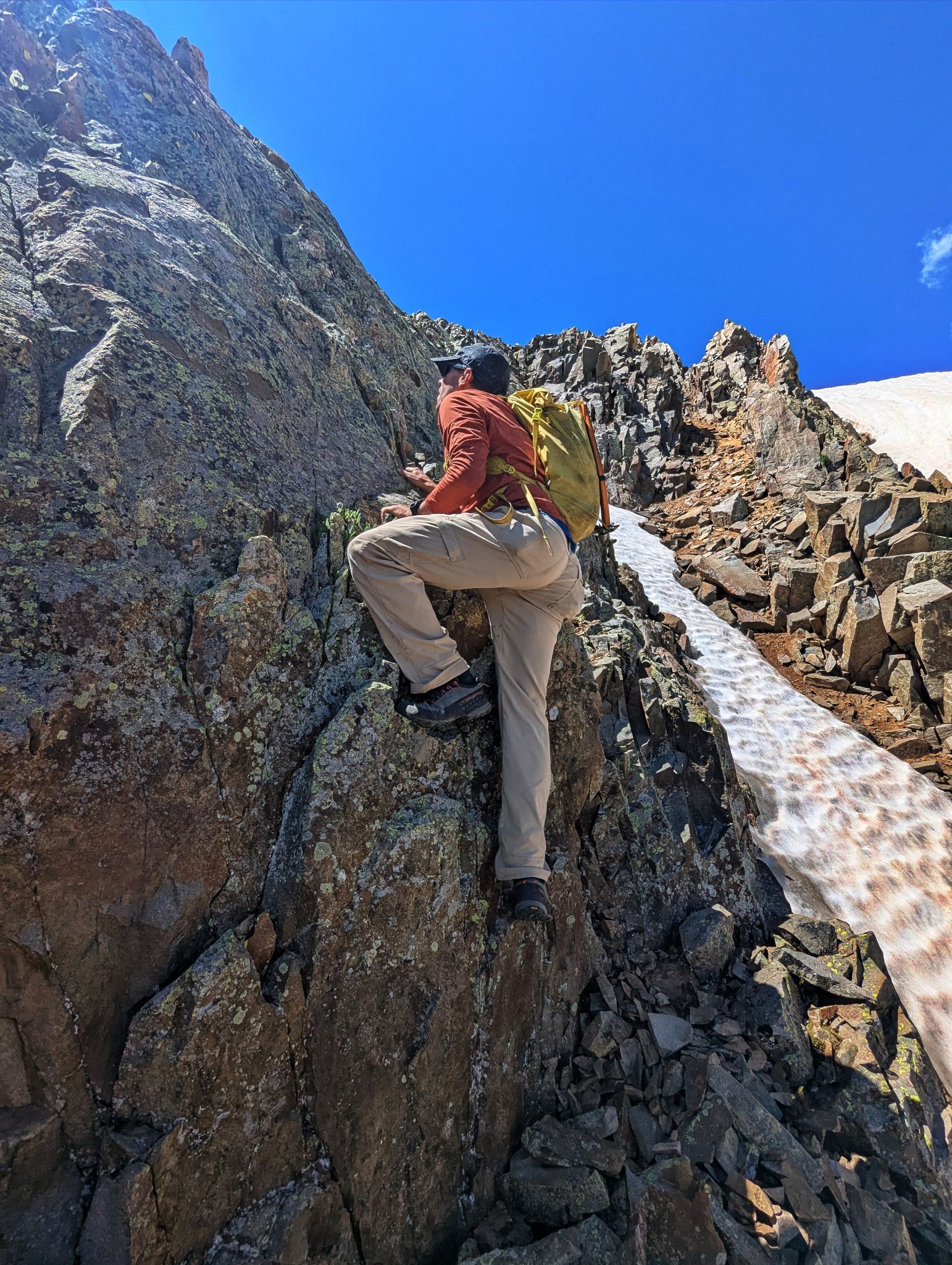
We opted to climb some moderately exposed terrain as opposed to crossing the bullet proof strip of snow
![Bear mountain 16]()
Some holds solid... some not so much
![Bear mountain 17]()
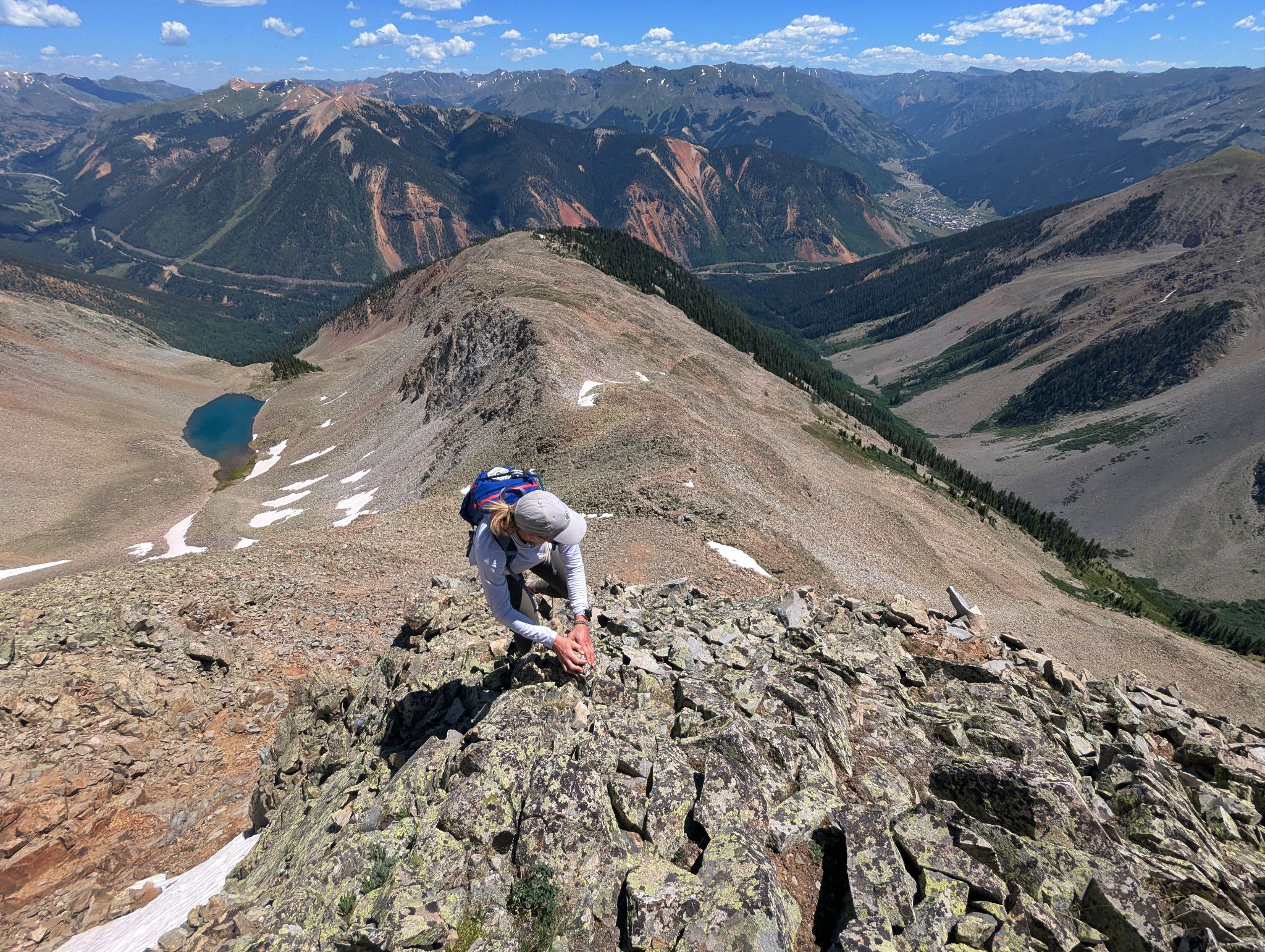
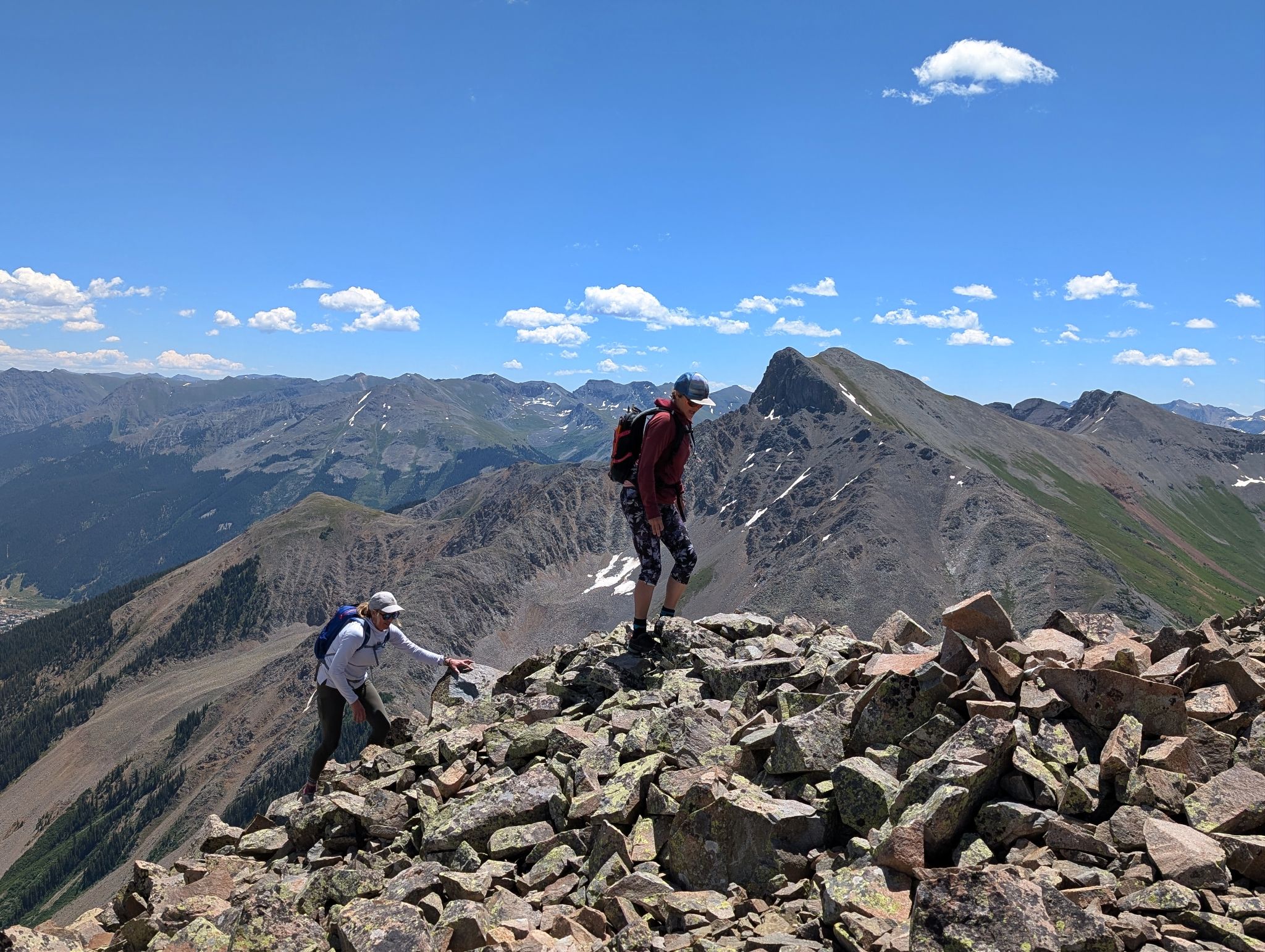
Terri closing in on the summit
![Bear mountain 18]()
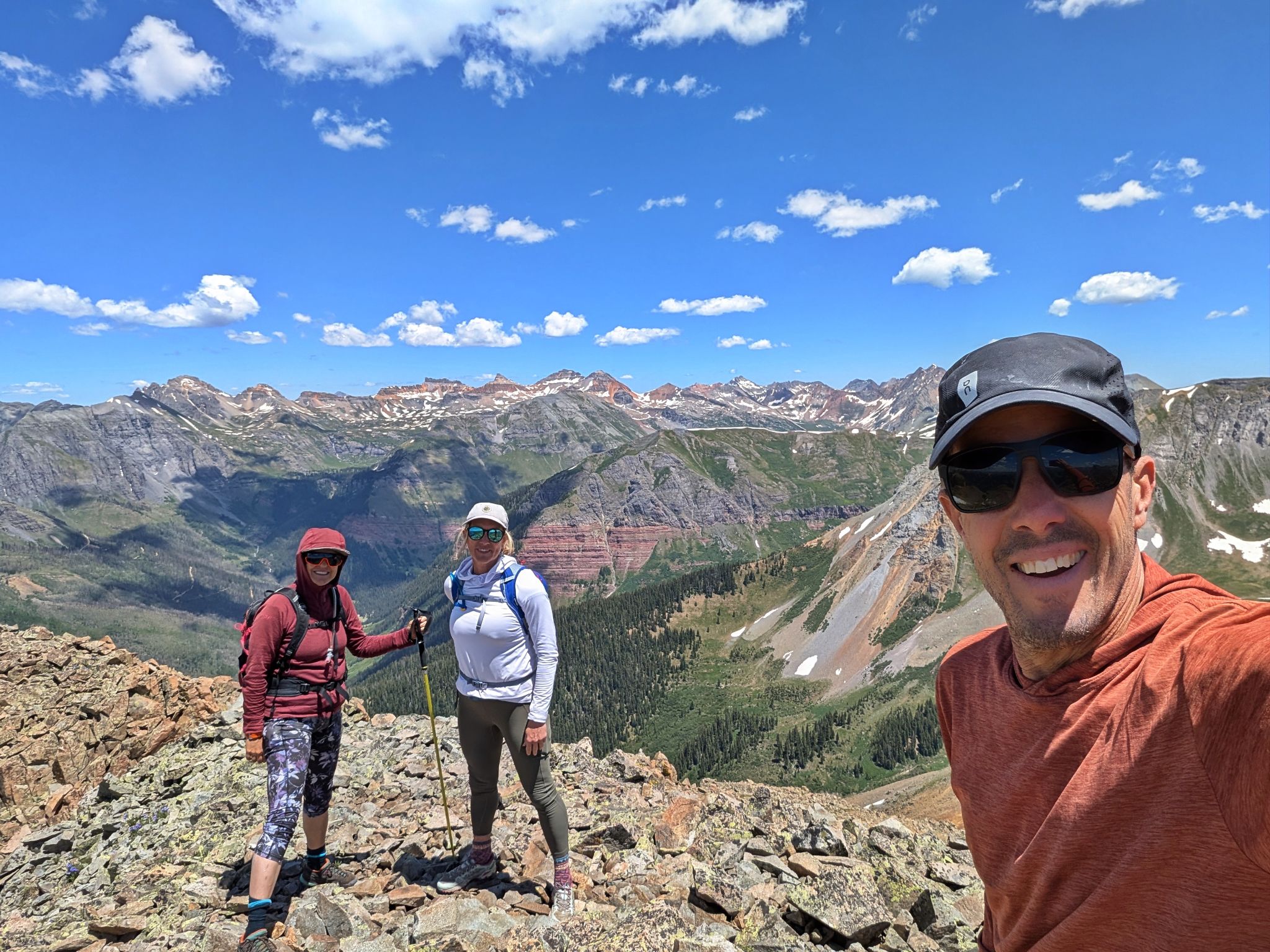
The girls top out
![Bear mountain 19]()
Nice views up here!
![Bear mountain 20]()
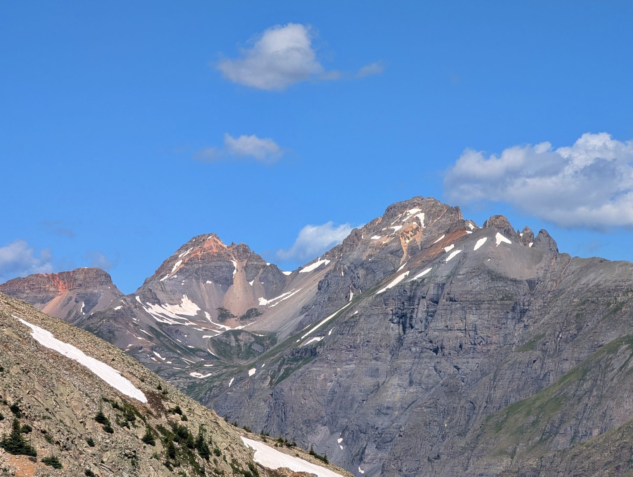
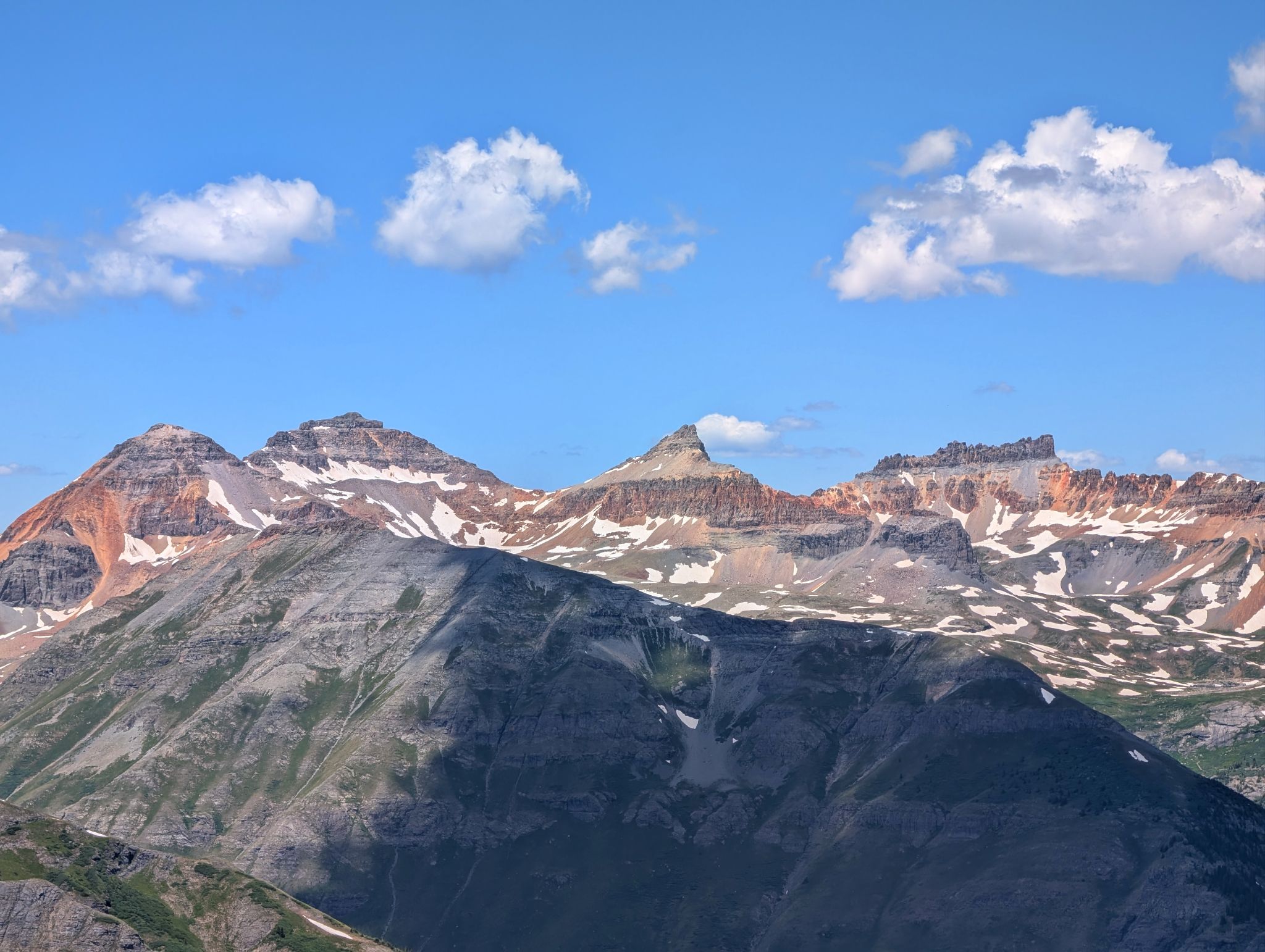
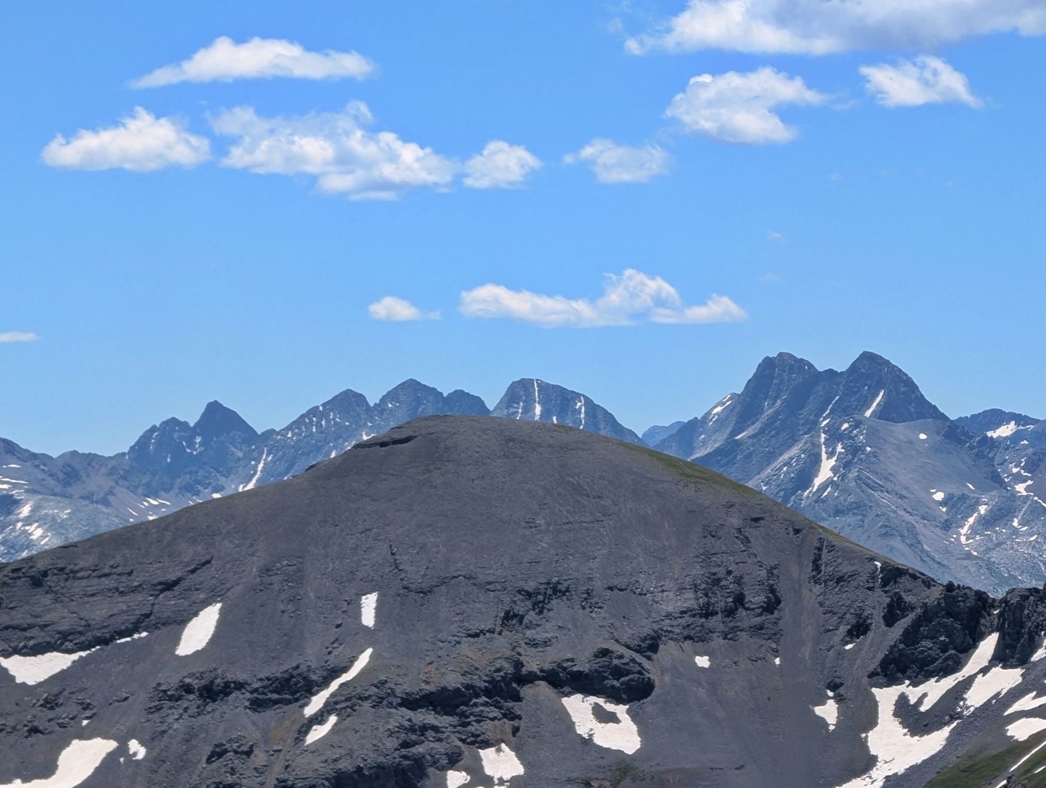
Ice Lake peaks to the northwest: L2R: Fuller, Vermillion, Golden Horn, Pilot Knob
![Bear mountain 21]()
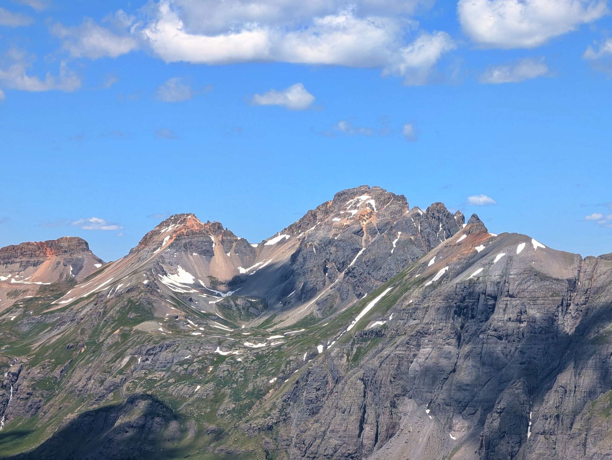
V4 and US Grant
![Bear mountain 22]()
Engineer Mountain to the south
![Bear mountain 23]()
The Vestal Group to the southeast
![Bear mountain 24]()
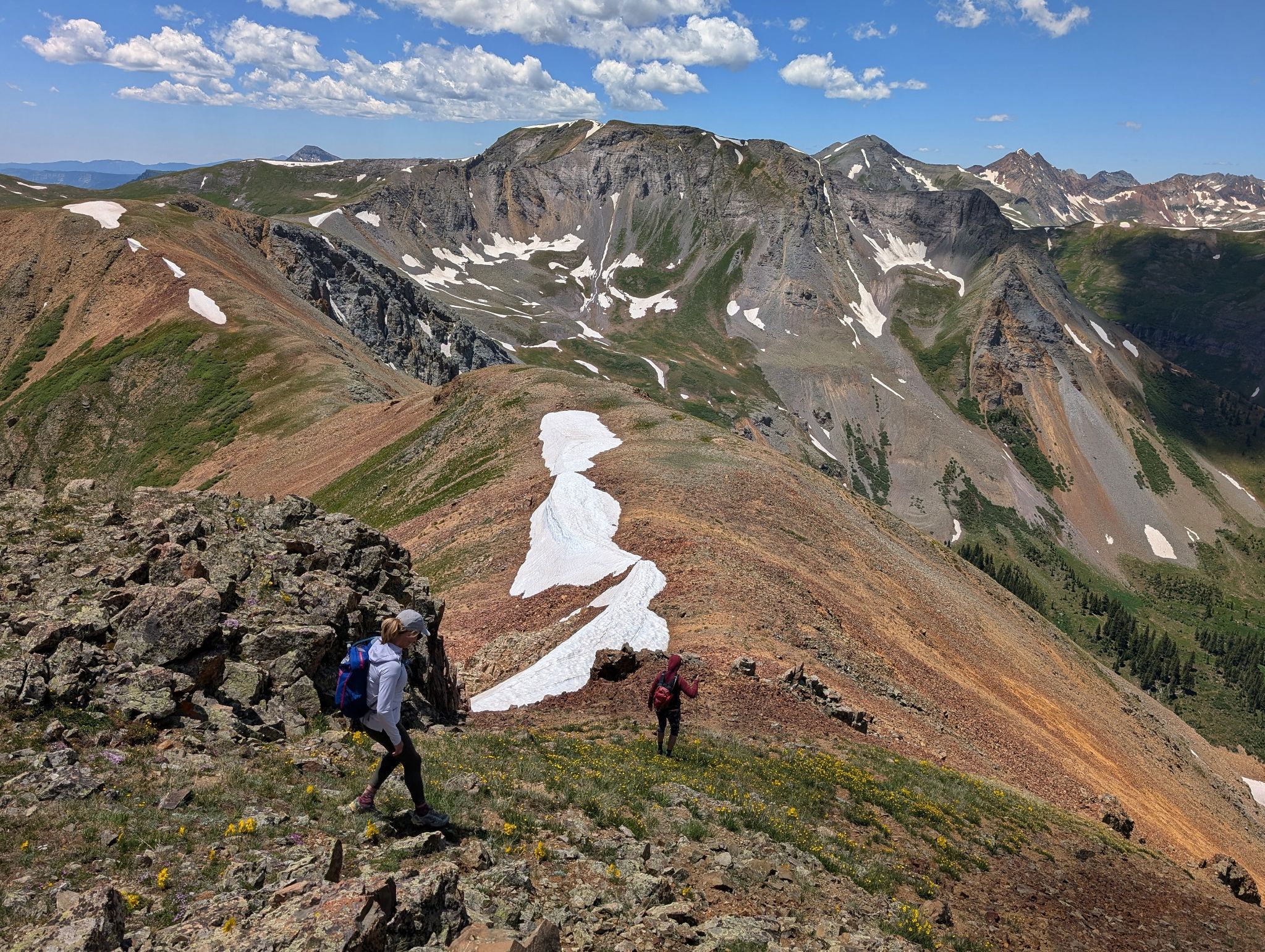
We descended Bear's west ridge - V7 front and center
![Bear mountain 25]()
![Bear mountain 26]()
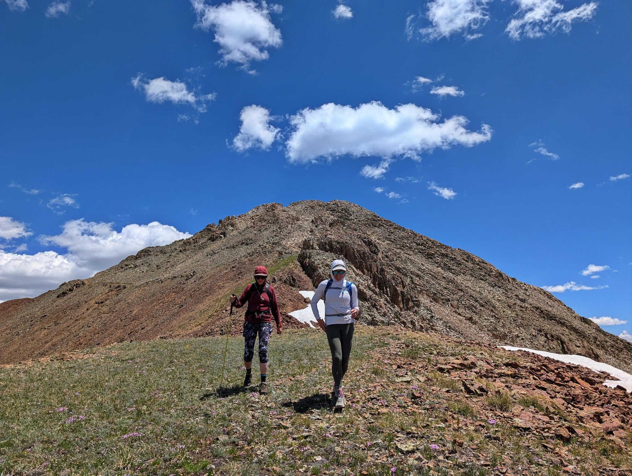
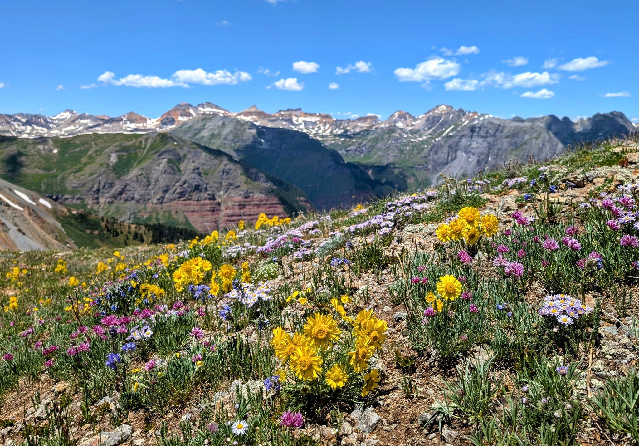
Wildflowers poppin with the Ice Lake peaks in the distance
![Bear mountain 27]()
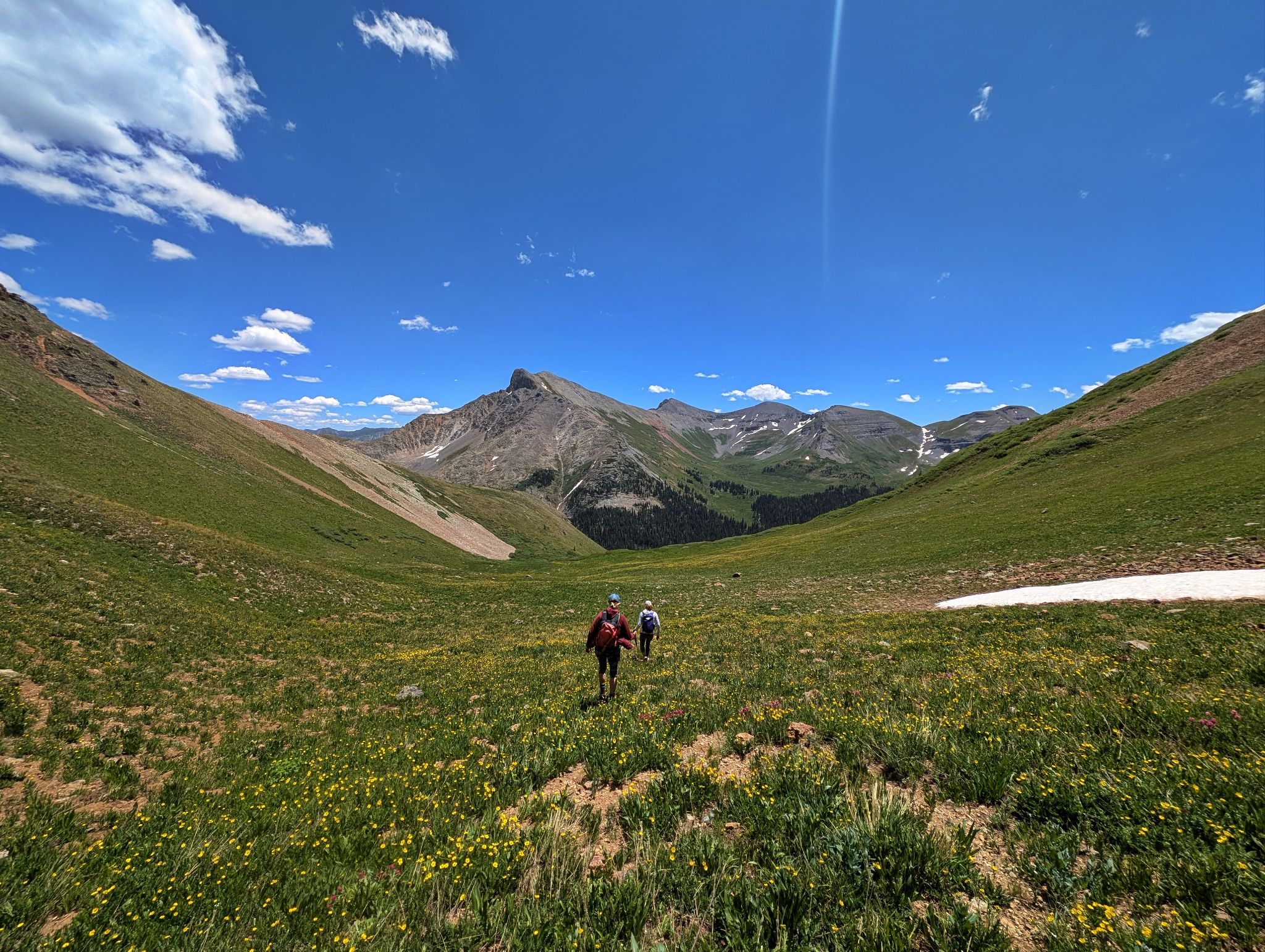
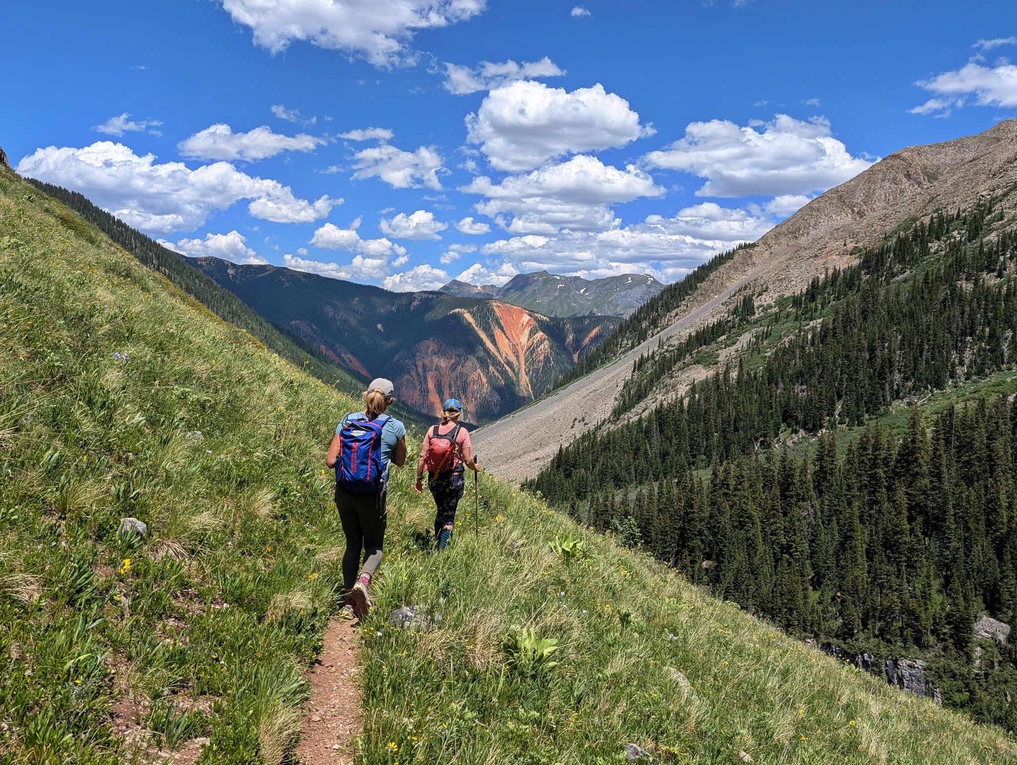
From the west ridge we descended the southeast basin to a trail
![Bear mountain 28]()
![Bear mountain 29]()
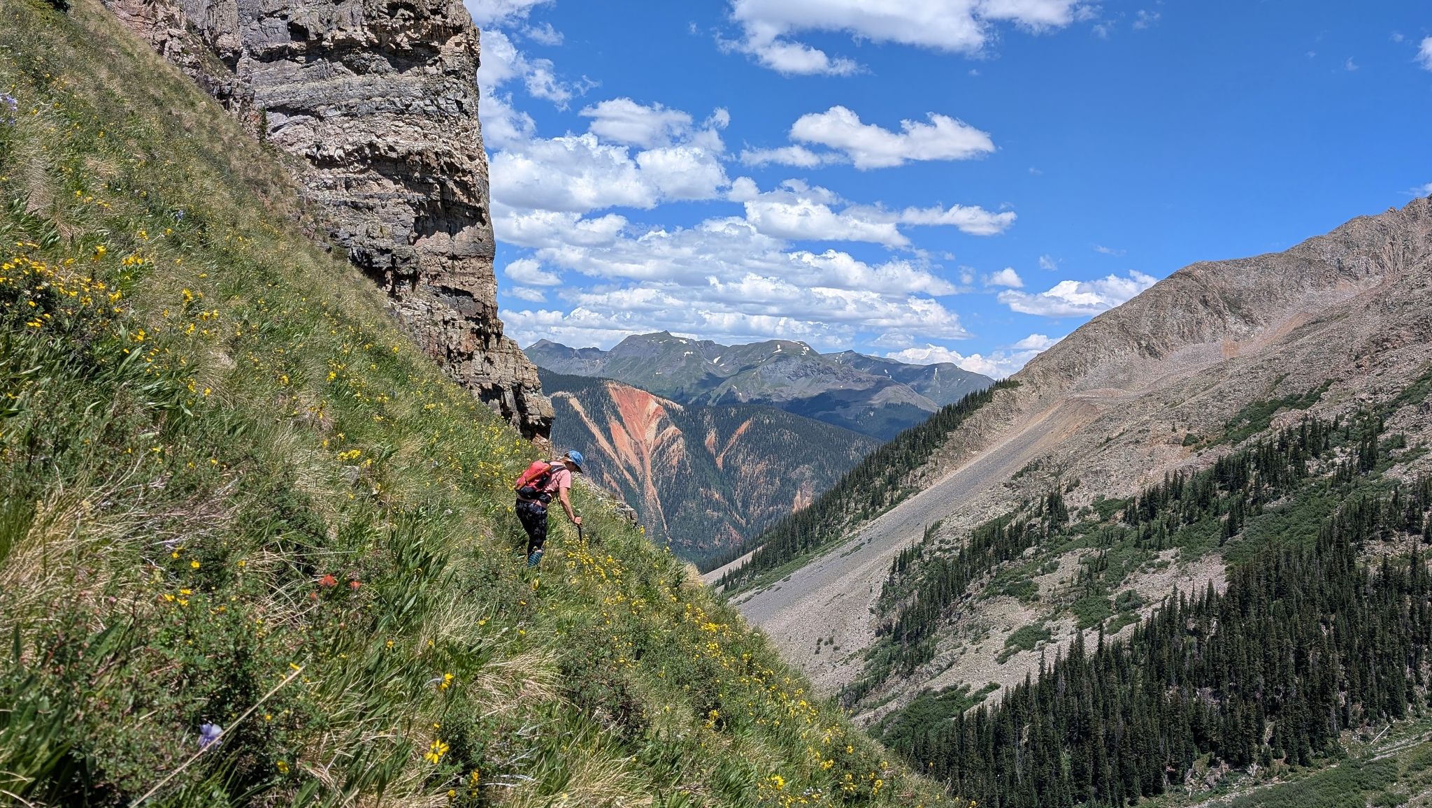
A steep section just above the trail
![Bear mountain 30]()
The trail cruised back to Mineral Creek and Highway 550
![Bear mountain 31]()
![Bear mountain 32]()
Not going to bother taking our shoes off on return