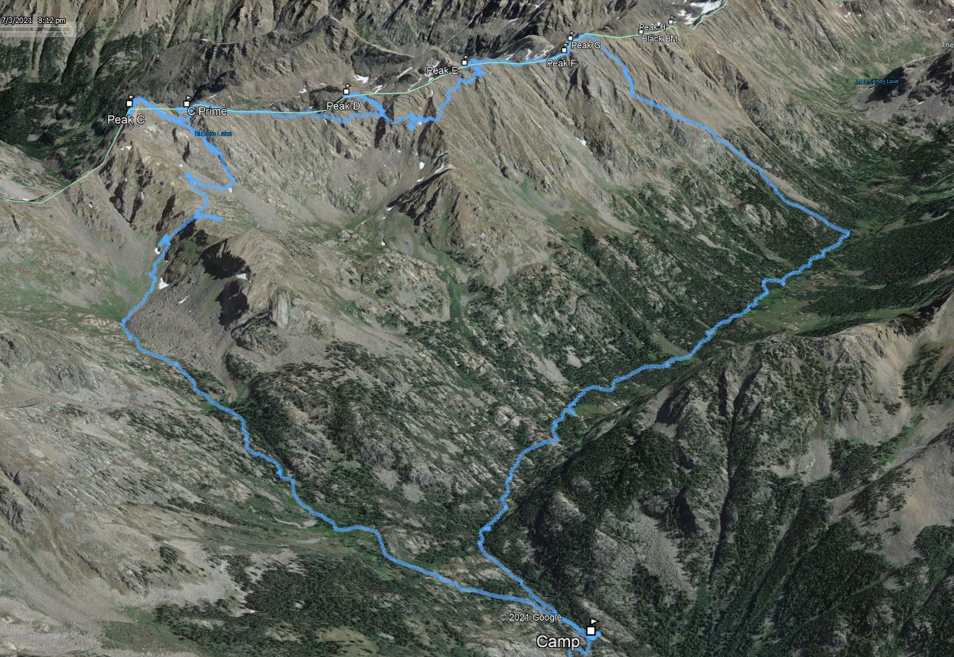
Ripsaw Ridge
Peak C to Peak G
Date: 07/03/2021
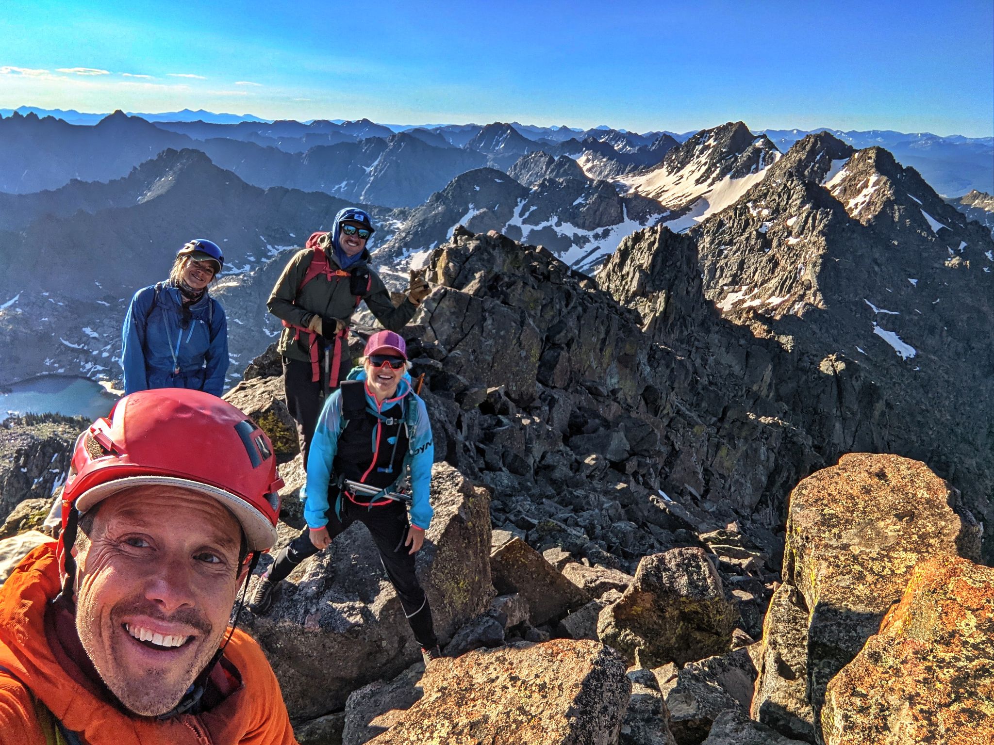
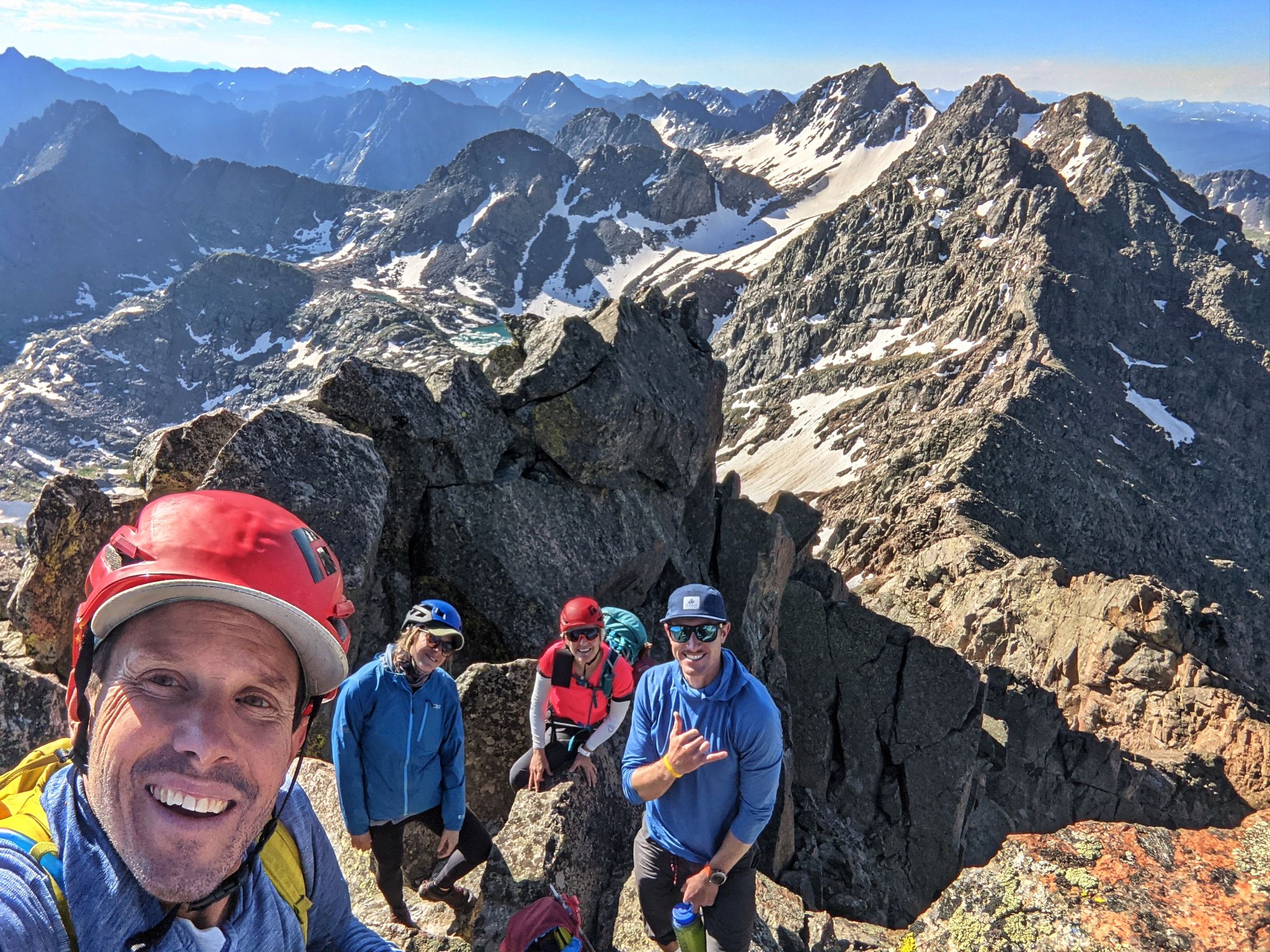
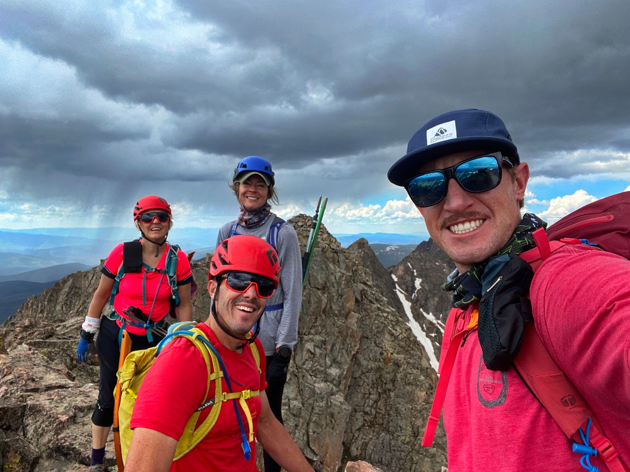
Partners: Kristi Henes, Jeremy Miller, Heather Ryan (photos by all)
Trialhead: Piney River Ranch
Summits: Peak C, C-Prime, Peak D, Peak E, Peak F, Peak G
Trailhead to Waterfall Camp: 3 Miles - 600ft - 1hr
Camp to Peak C to Peak G and back to the Piney River Ranch : 11 Miles - 6150ft - 15.75hrs
Peak C 14ers.com Page
C-Prime 14ers.com Page
Peak D 14ers.com Page
Peak E 14ers.com Page
Peak F 14ers.com Page
Peak G 14ers.com Page
Our plan was to traverse Ripsaw Ridge from Peak C to Peak G with the option of continuing to Peak H over Black BM if conditions allowed. The weather would need to be perfect given that most of the day would be spent up high on technical terrain (class 3/4 and a wee bit of low 5).
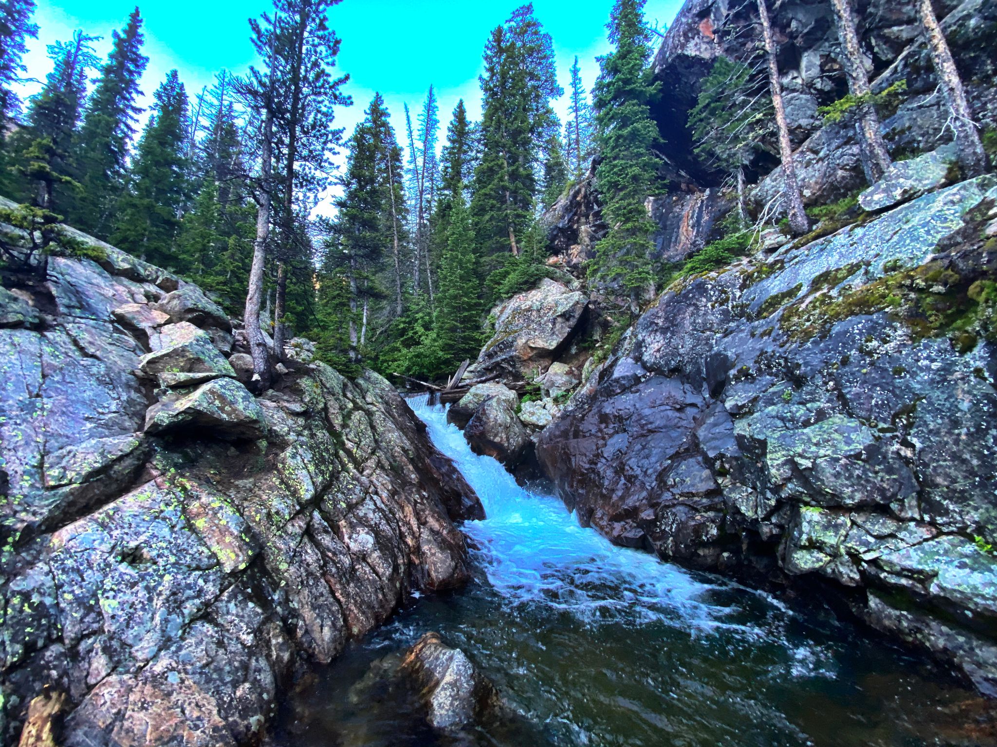
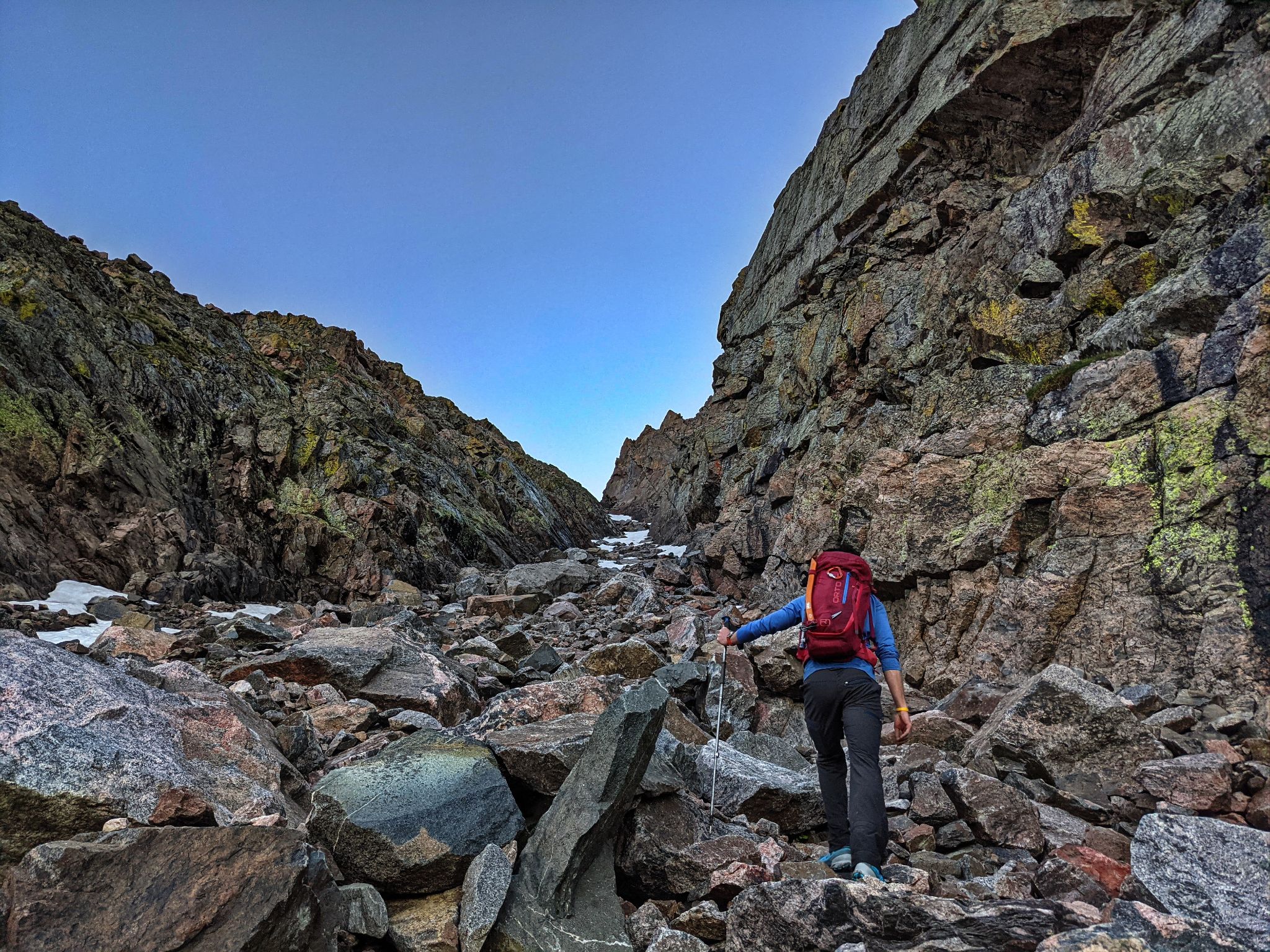
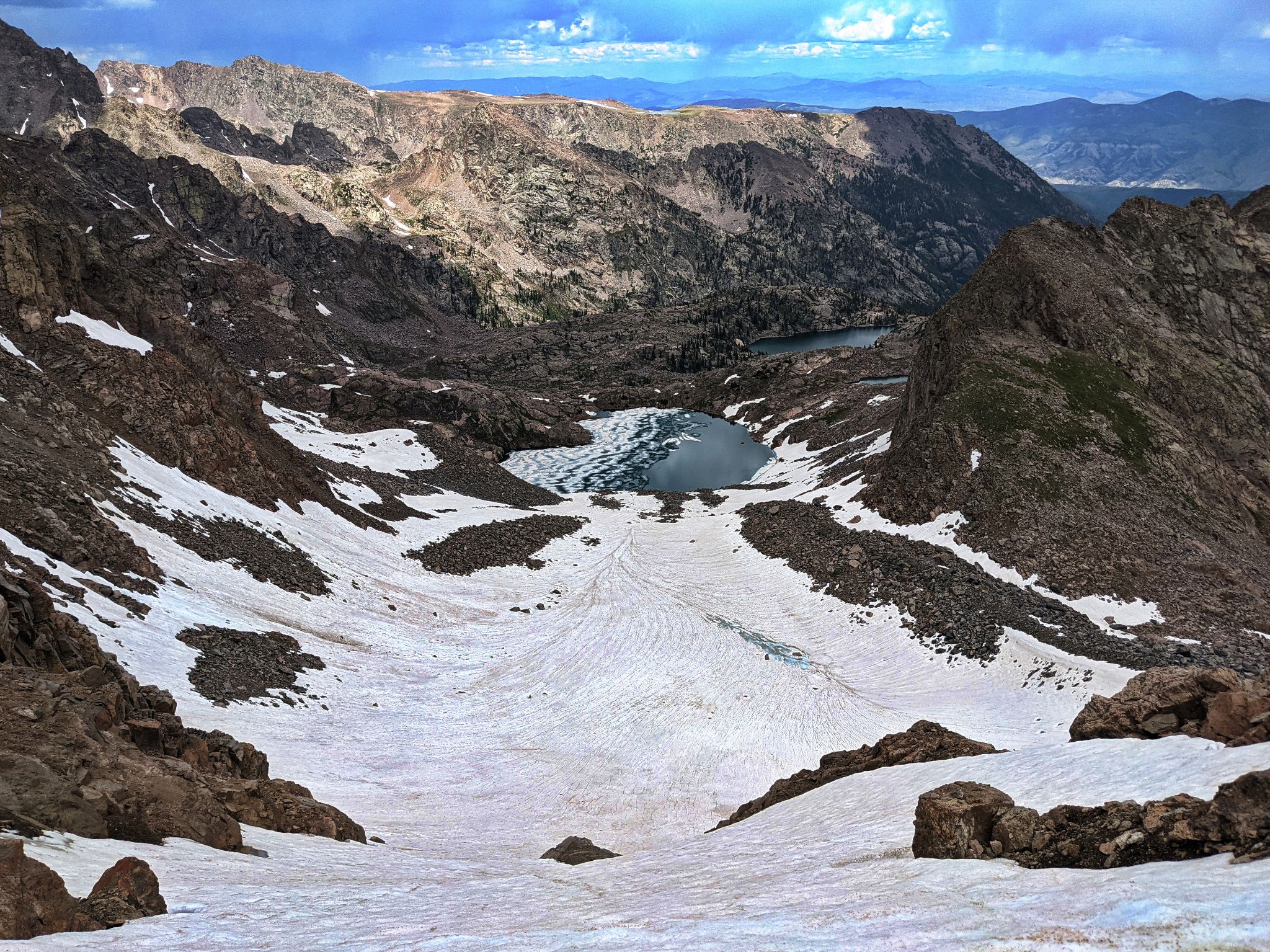
We began hiking at 4:00am from our camp at the cascading waterfalls about 3 miles in from Piney River Ranch. We hiked a steep trail through wet brush to the meadow below Knee Knocker Pass then ascended a short gully which gave us access to Tarn Basin below Peak C's SW couloir also known as CC Rider.
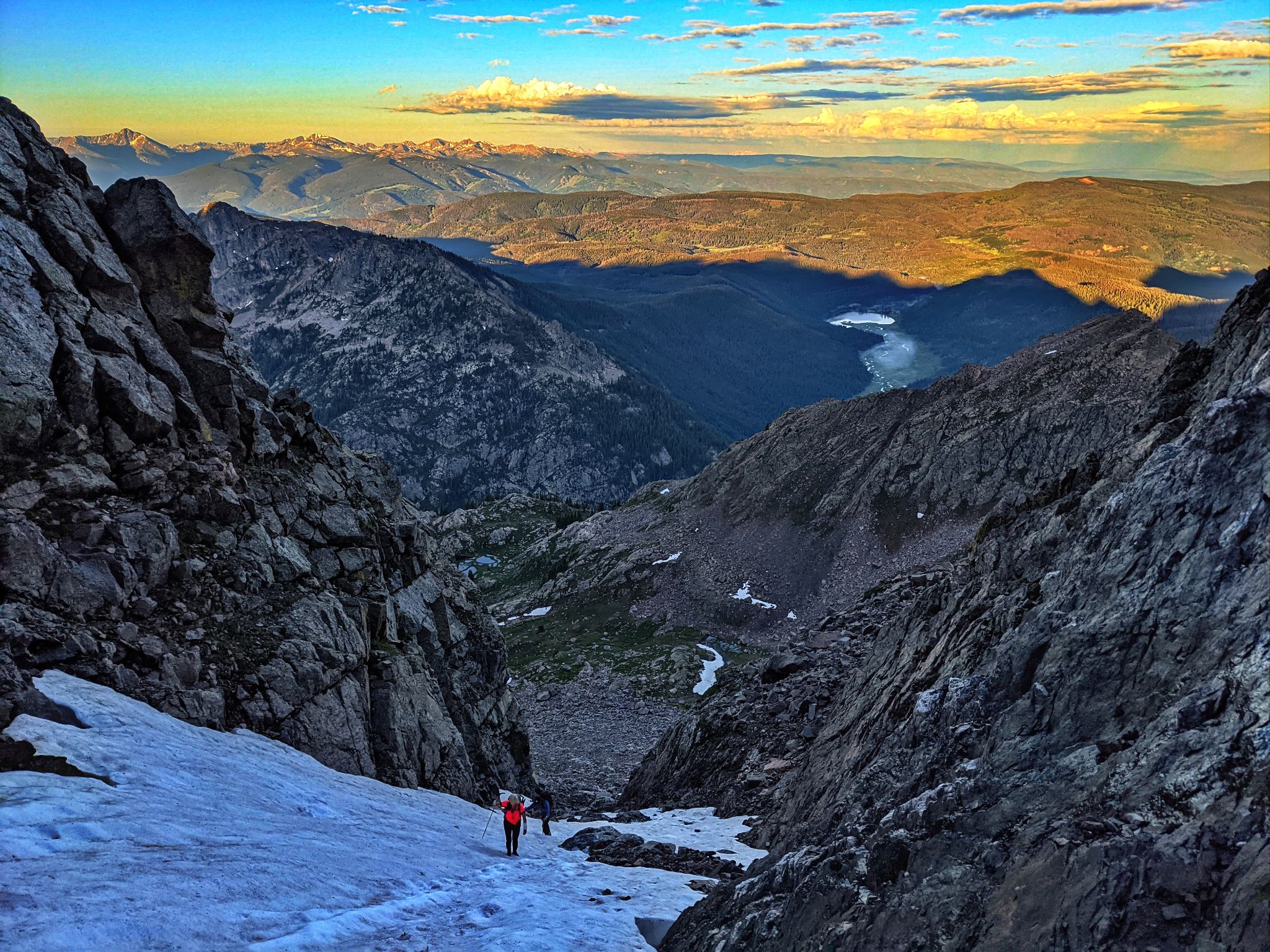
CC Rider was somewhat loose and had some soft snow midway up. Ice axes were handy but not mandatory and we did not use micro spikes or crampons.
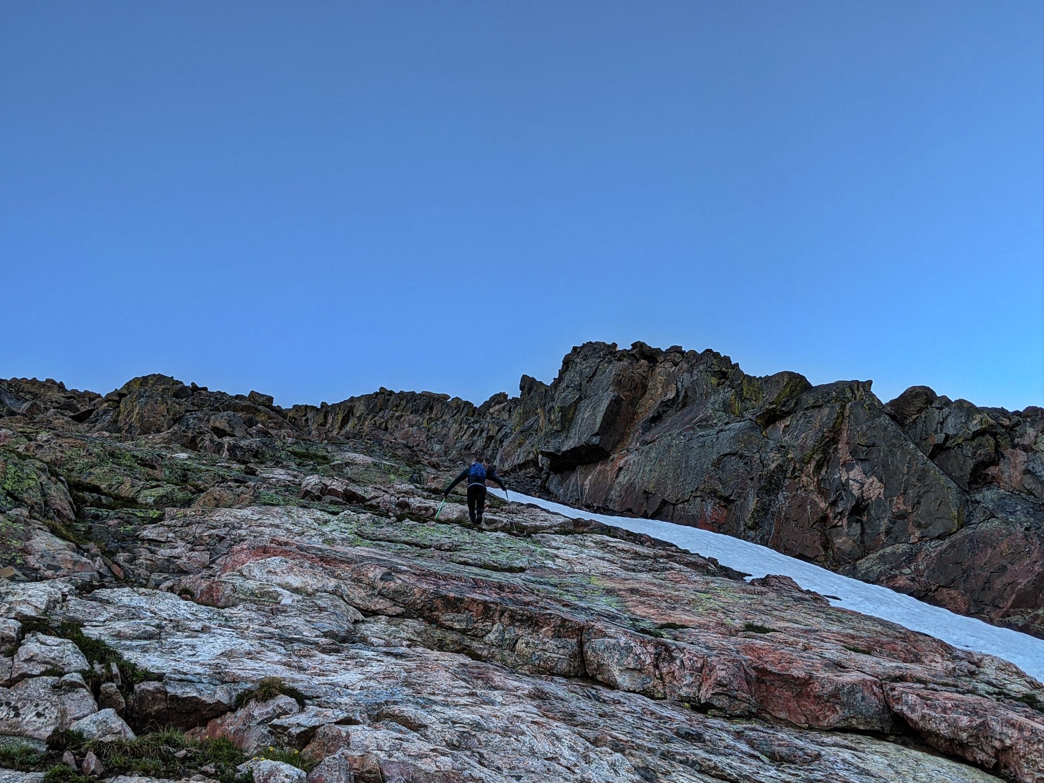
We exited CC Rider roughly 300ft below the top of the coulie and summitted Peak C on class 2+ / easy class 3 terrain.
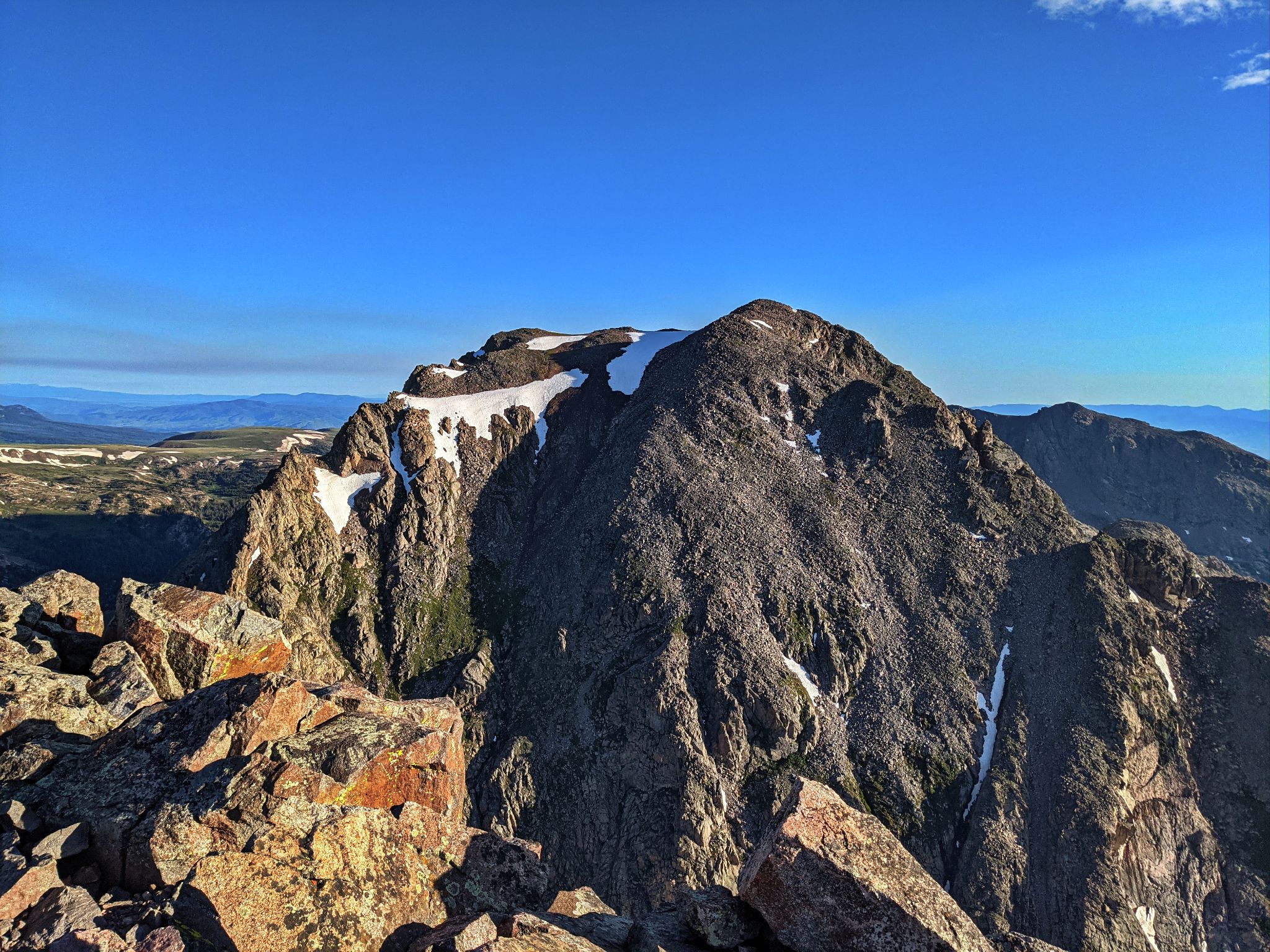
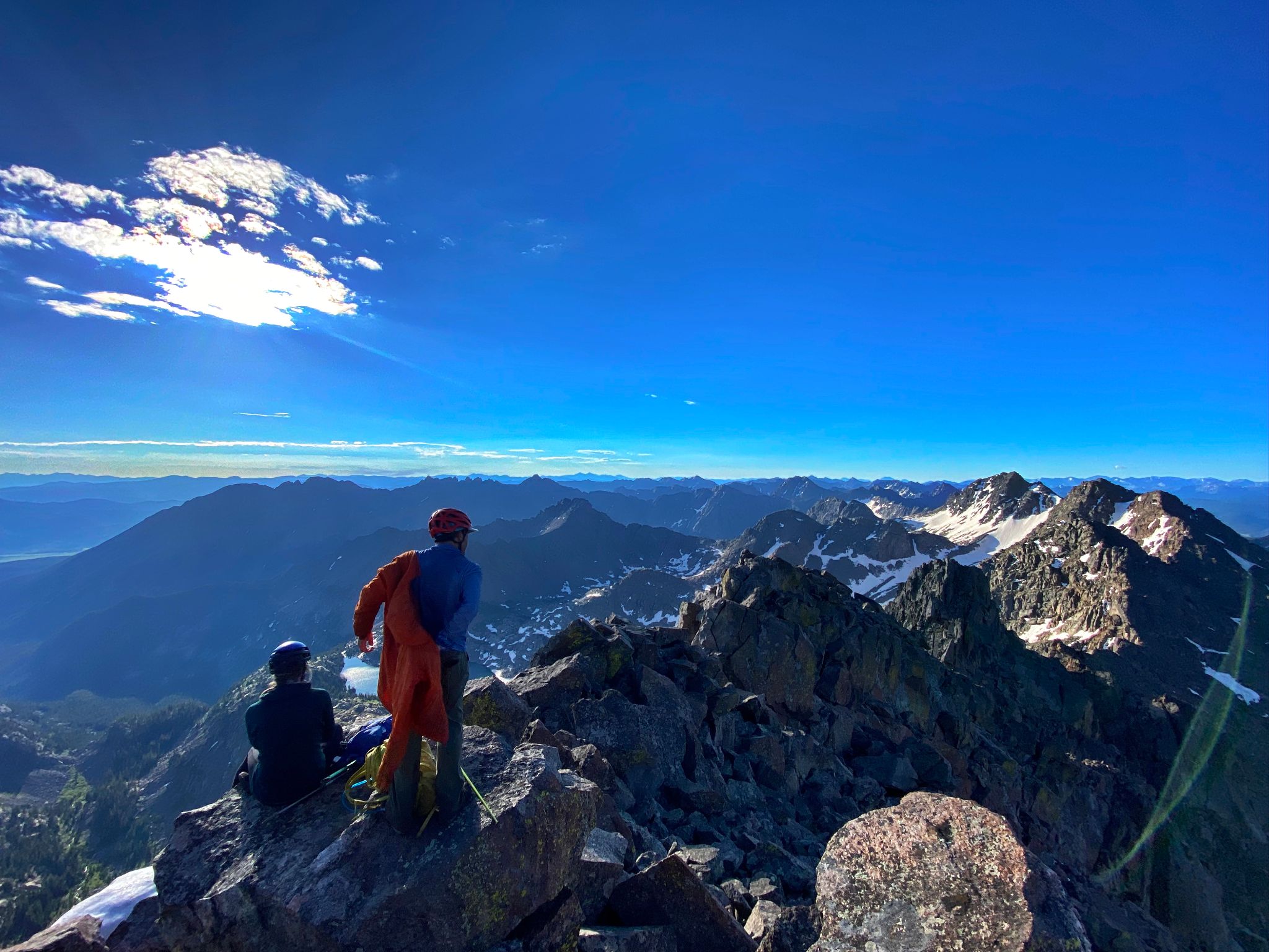
From the summit of Peak C we had incredible views of Mount Powell to the north and our day's work on Ripsaw Ridge to the south. We chatted, snacked and took in the views before embarking on the journey that would cover 5 additional summits.
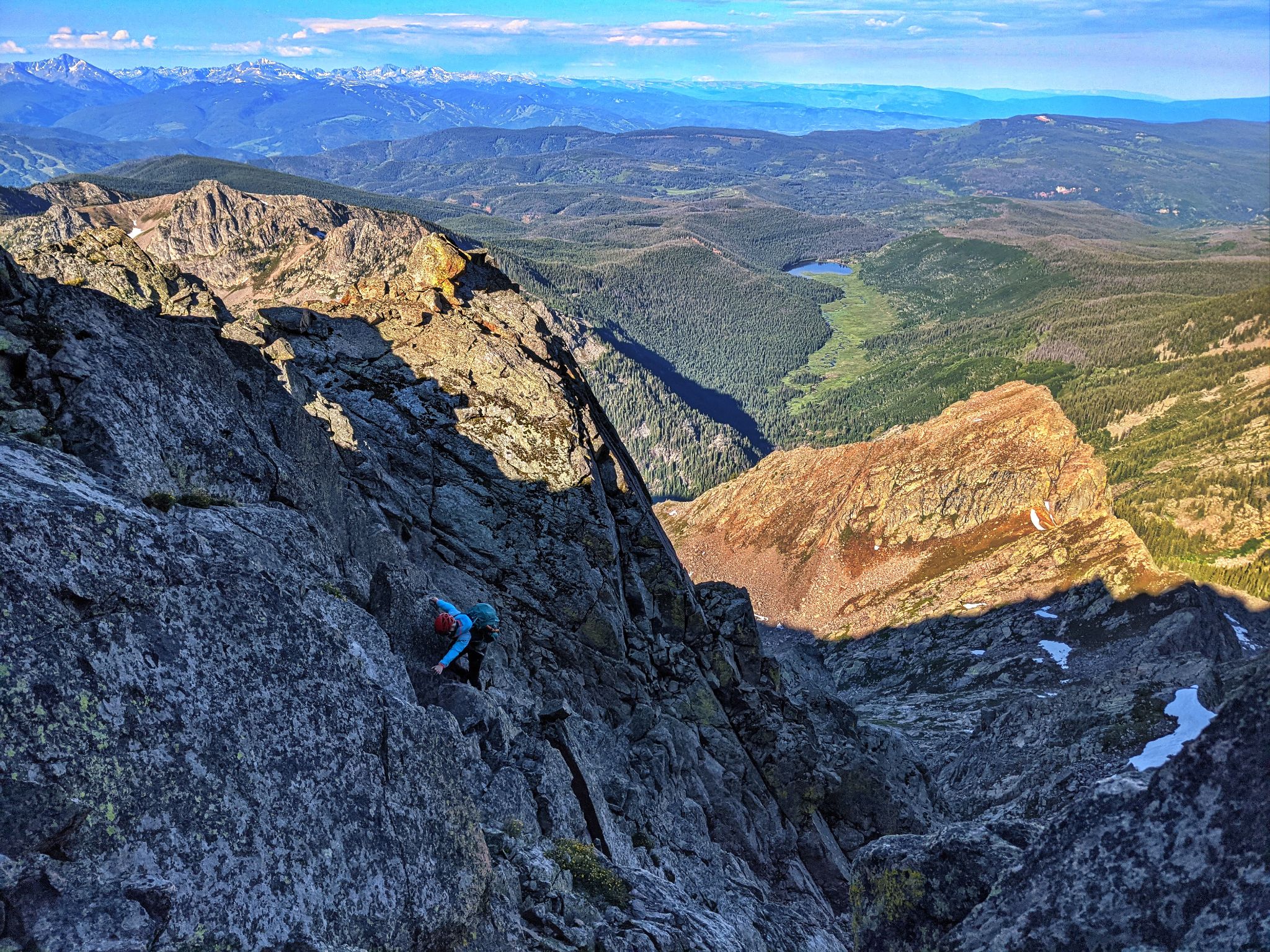
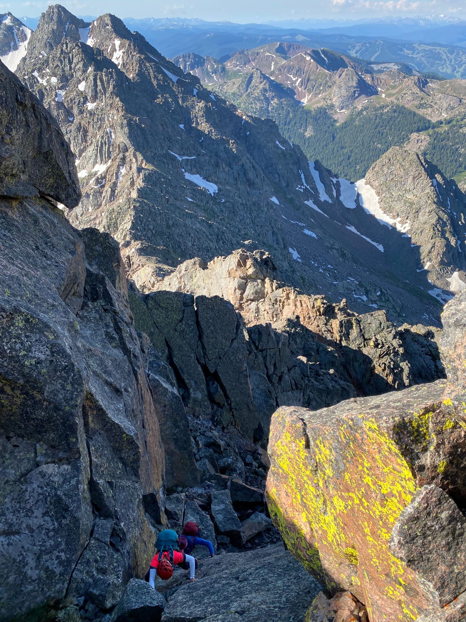
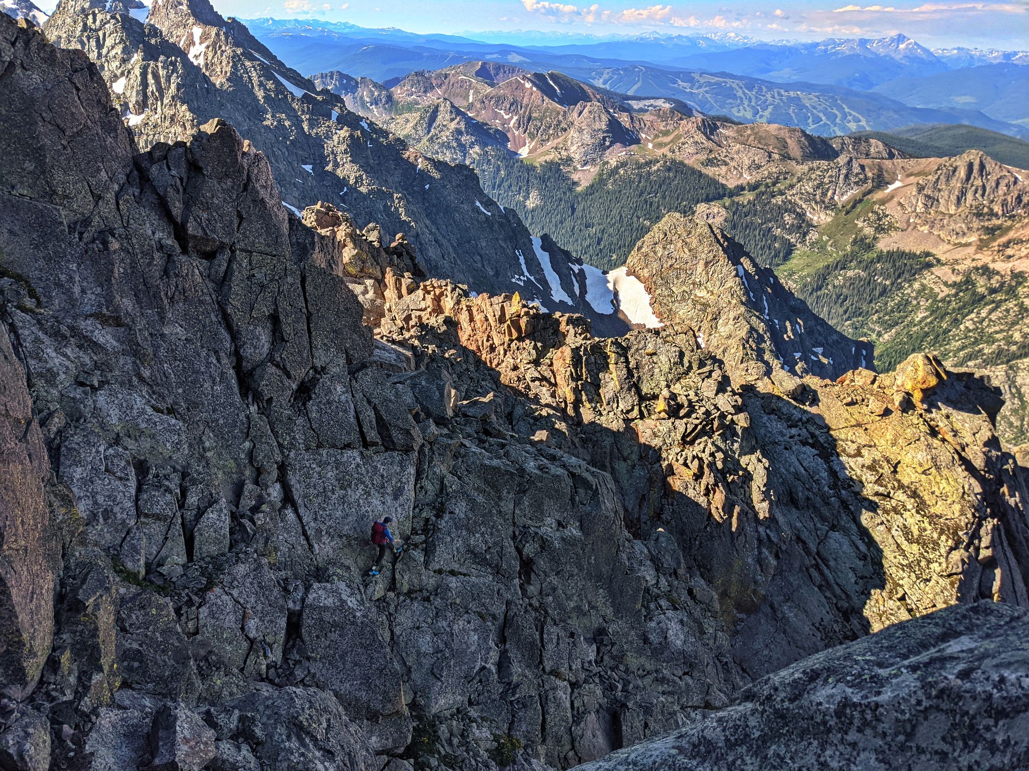
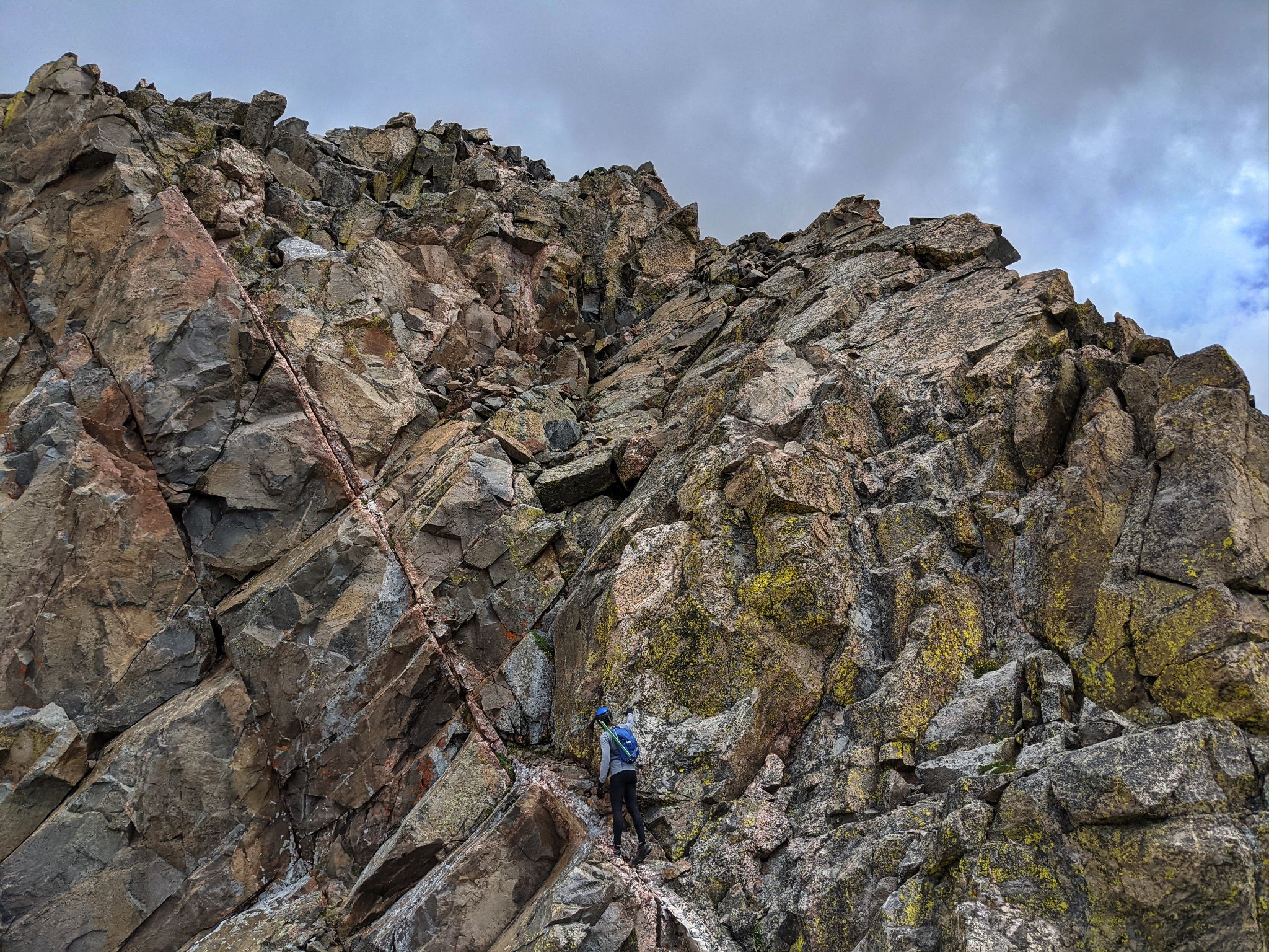
We spent most of the day on class 3/4 terrain with touches of low 5 here and there. We stayed the ridge as much as we could with the general rule of dropping to the south/west as needed.
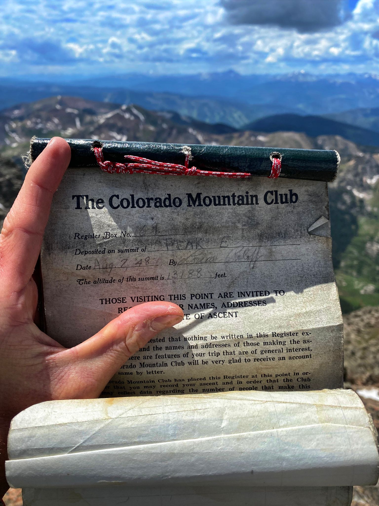
We did not find summit registers except on Peak E which was placed on August 7th 1948. We were a little disappointed that there was no pen, and we were unable to sign. However, it was cool to be able to touch a relic of Gore history.
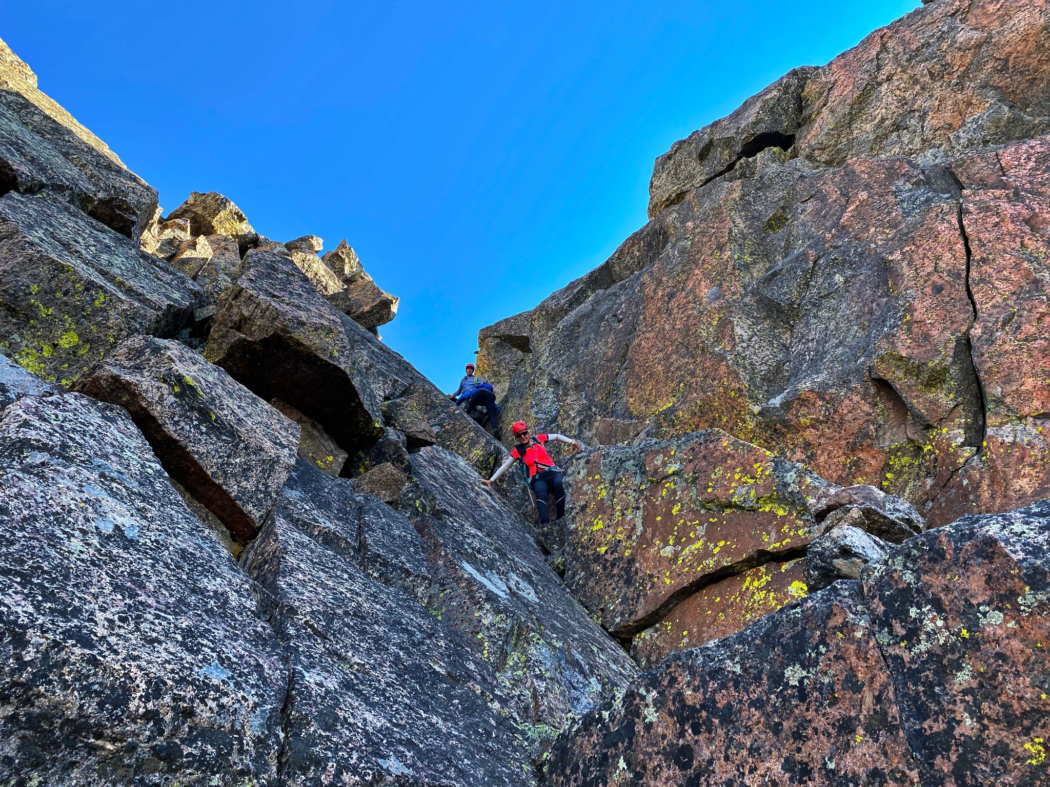
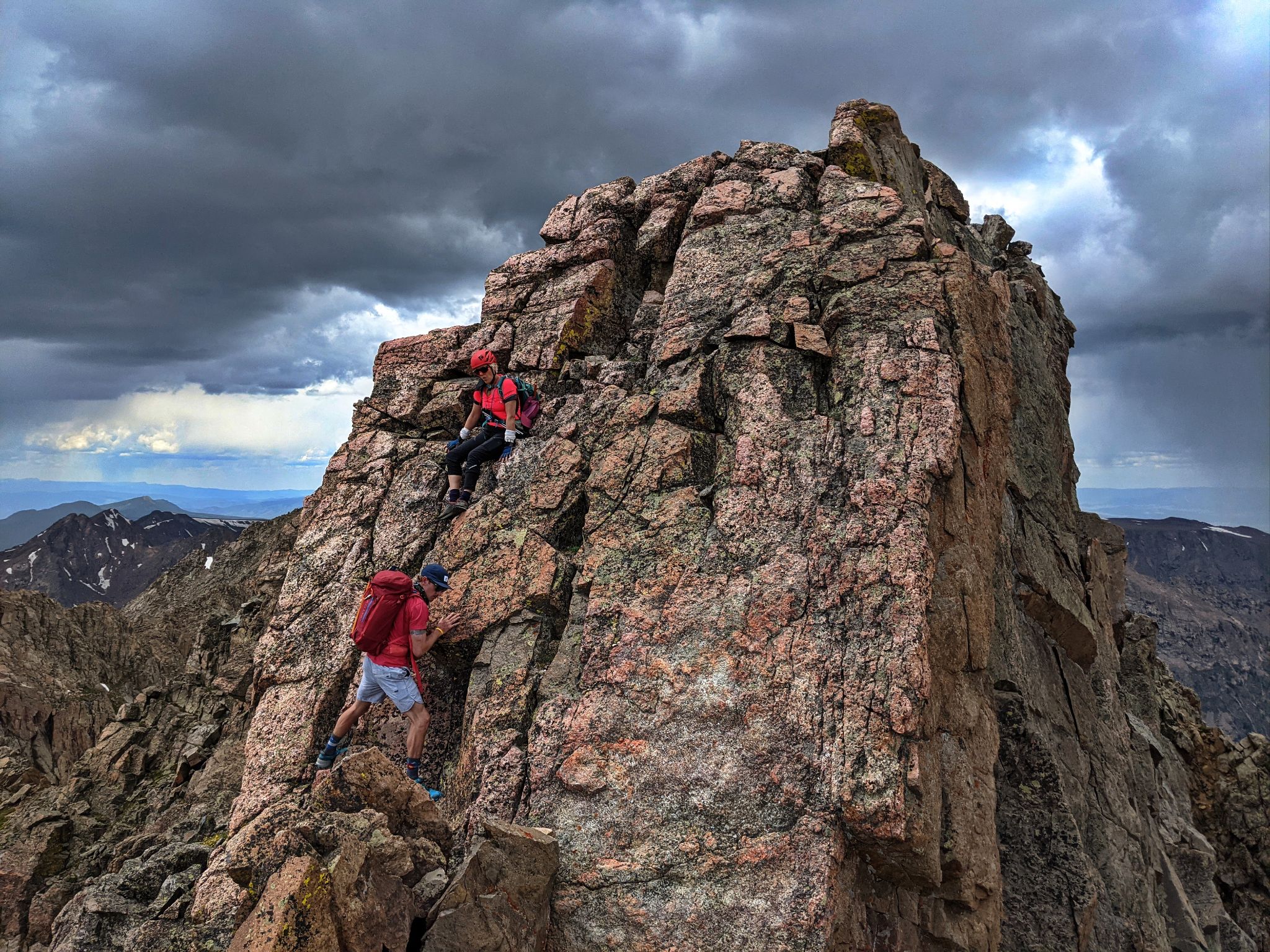
The most fun and sustained terrain was between Peak E and Peak G. For the most part we stayed the ridge and summitted these peaks directly.
By the time we reached Peak F weather was coming in and we knew we needed to pick up the pace. We did not want to be on this terrain with wet rock let alone electricity.
As we reached Peak G we started to hear thunder and decided to descend as quickly as possible. We would not continue to Peak H or backtrack to the F-G saddle (both of which had much easier descent options). We descended just north of G's summit.
The descent was challenging and often felt like we were climbing down a waterfall as it started to rain. By the time we reached the basin below I was thinking the descent was the physical crux of the day.
From the scree filled basin the bushwhack to the Piney River Trail was tedious but not too bad by Gore Range standards.
When we reached the trail, I jokingly asked if the trail would have more deadfall than the bush. I guess the question wasn't so funny because it was true. The seemingly endless trail back to camp often disappeared, was littered with deadfall and passed through marshes. Maybe it would have felt better with fresh legs.
After packing up camp we headed back to our vehicles at Piney River Ranch where we shared beers, George Clooney Tequilla and enjoyed the sunset together. What a great day!
Thanks to Brandon Chalk and Brent Herring for beta on this route.
Map Note: Looking at our track in CalTopo it appears that we did not reach the south summit of Peak G. However, we in fact did reach the south summit as there were no points to the south that were as high as we were standing. In addition, although the south summit is labeled 'Peak G' in CalTopo, the elevation of the north summit is higher. Seems to be a map error.
![Ripsaw 01]()
14m - 6750ft - 16.75hrs
![Ripsaw 02]()
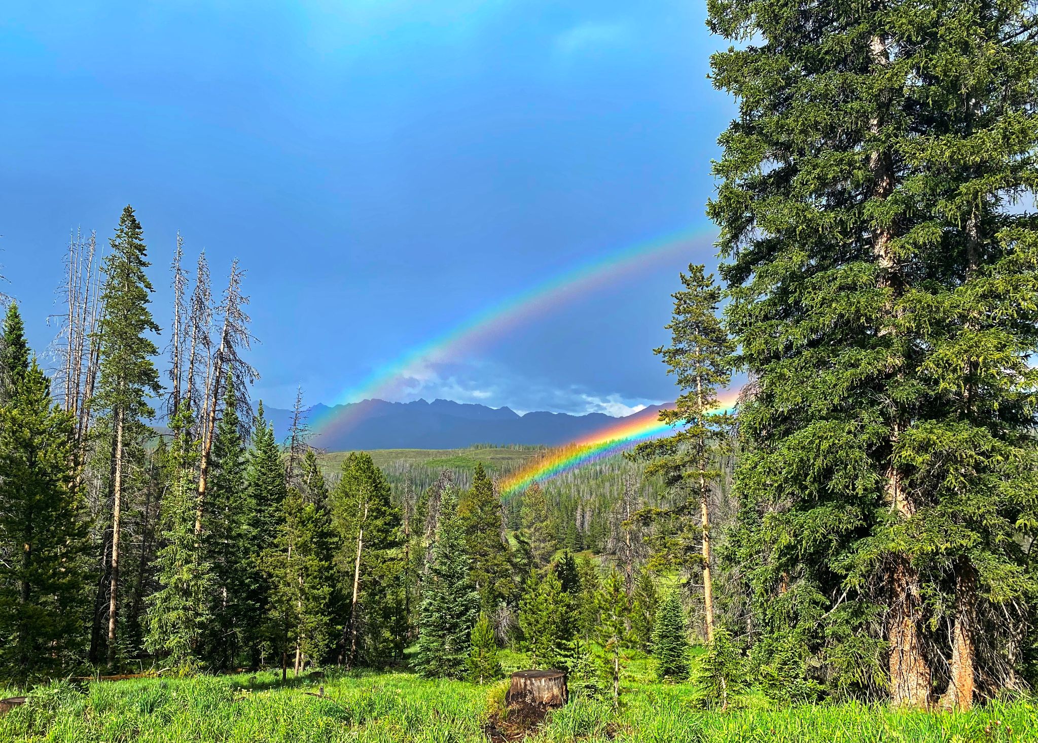
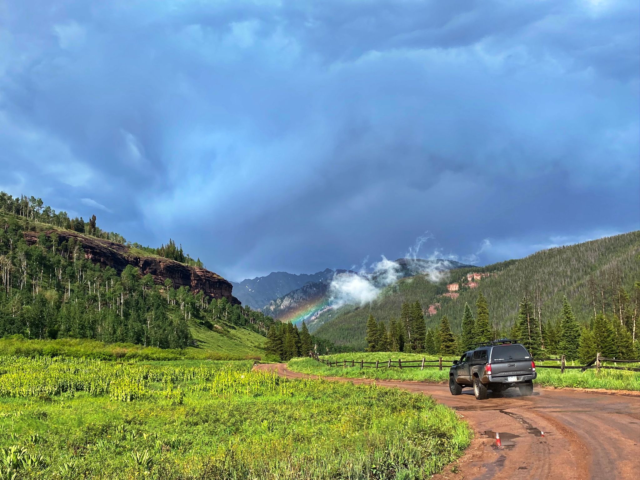
Ripsaw Ridge behind a double rainbow on the drive to Piney River Ranch
![Ripsaw 03]()
Another rainbow foreshadows what would be a great trip
![Ripsaw 04]()
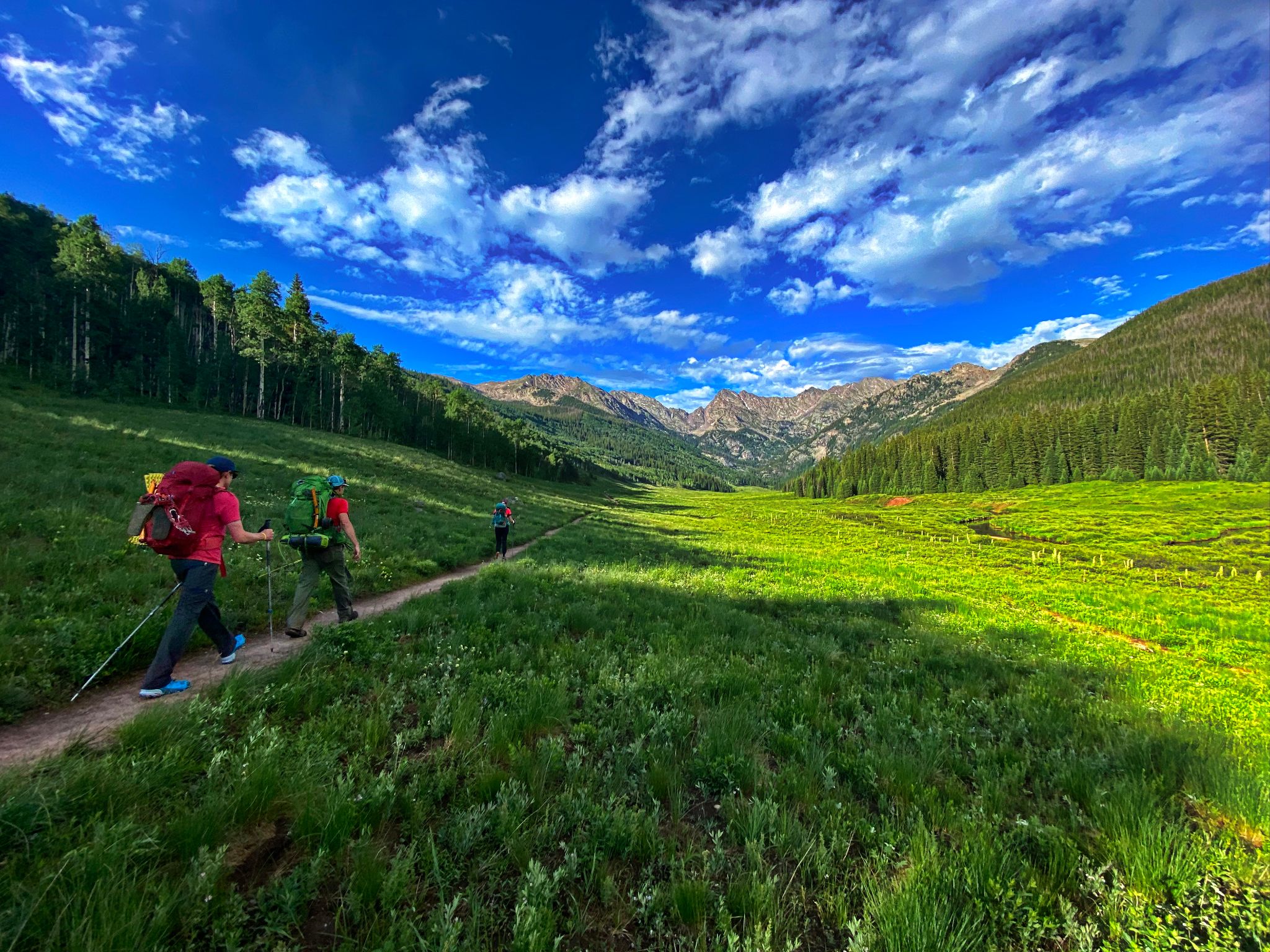
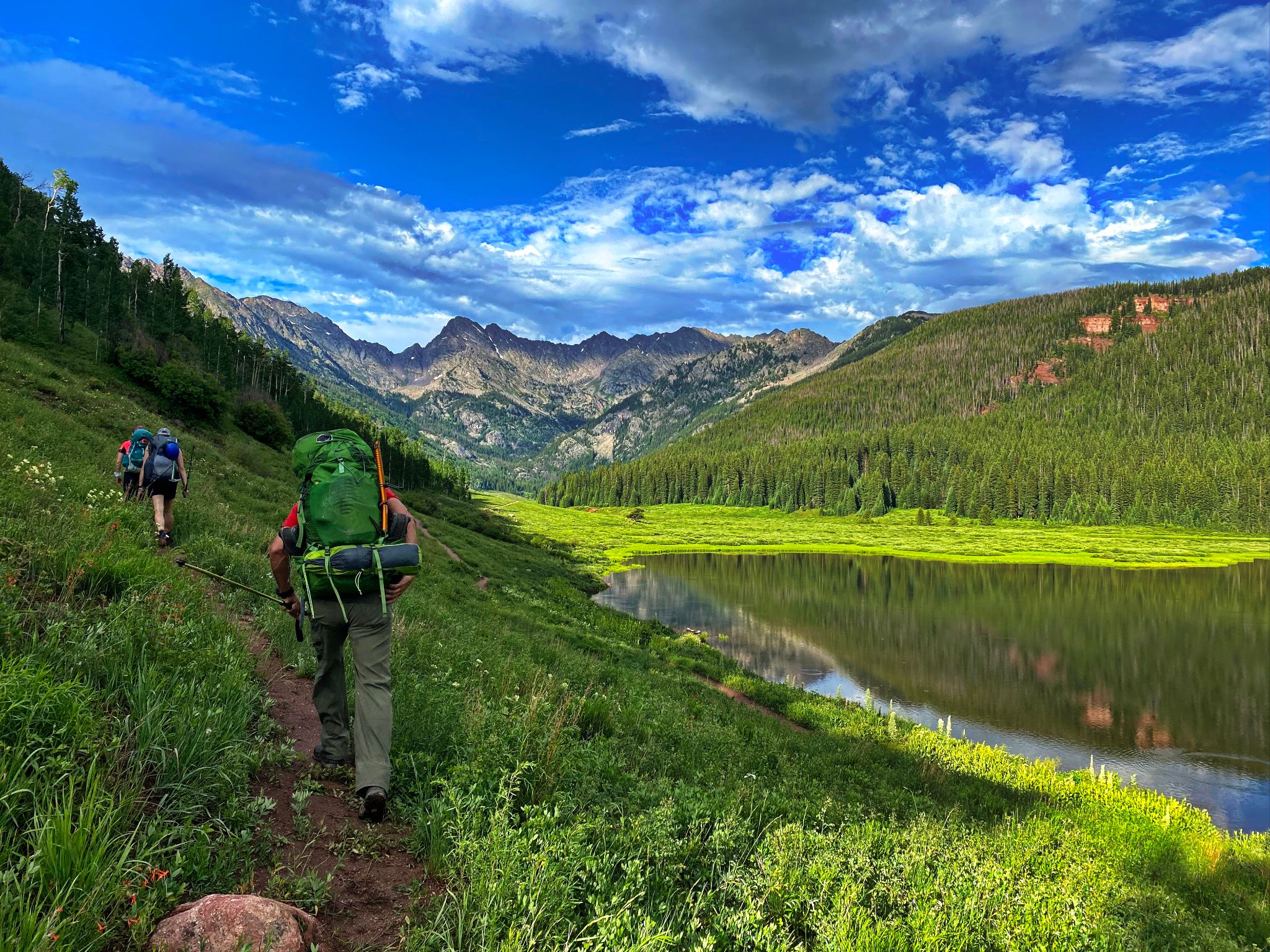
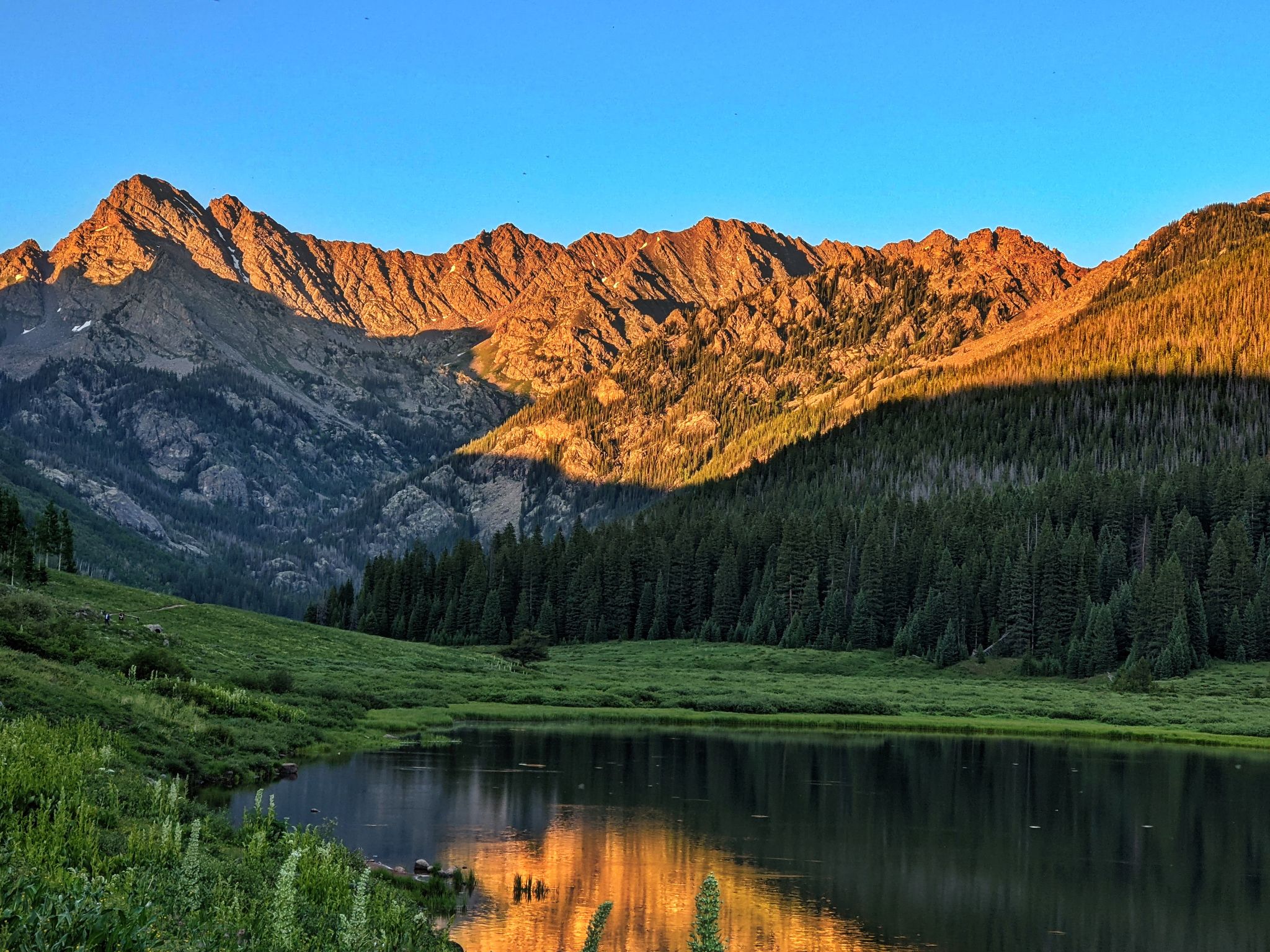
Amazing views on the approach from the Piney River Ranch
![Ripsaw 05]()
A full view of Ripsaw on the 3 mile hike to camp
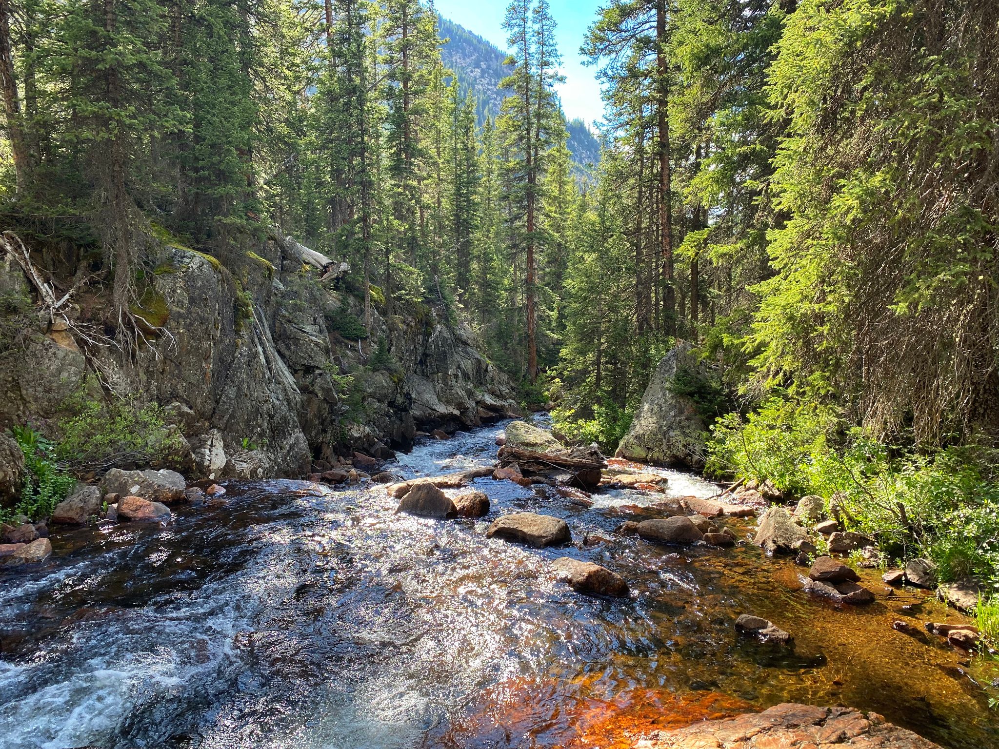
![Ripsaw 06]()
Camp photo by Jeremy while scouting cross creek hammock options
![Ripsaw 07]()
Jeremy climbs the col that would connect us from the bottom of Knee Knocker Pass to Tarn Basin below CC Rider Couloir. East Corner and Game Pass behind
![Ripsaw 08]()
![Ripsaw 09]()
Below Peak C's SW Couloir aka CC Rider
![Ripsaw 10]()
Looking up CC Rider
![Ripsaw 11]()
The snow in CC Rider was relatively soft - no crampons required - Axe nice to have
![Ripsaw 12]()
From CC Rider you could keep the terrain at class 2+ or easy three
![Ripsaw 13]()
Mount Powell from the summit of Peak C
![Ripsaw 14]()
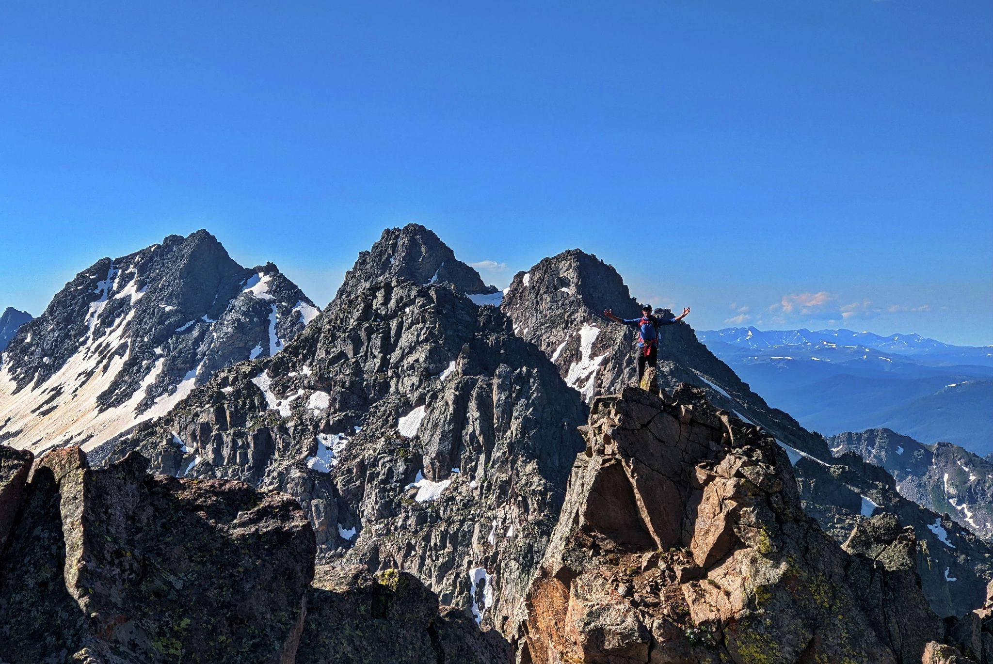
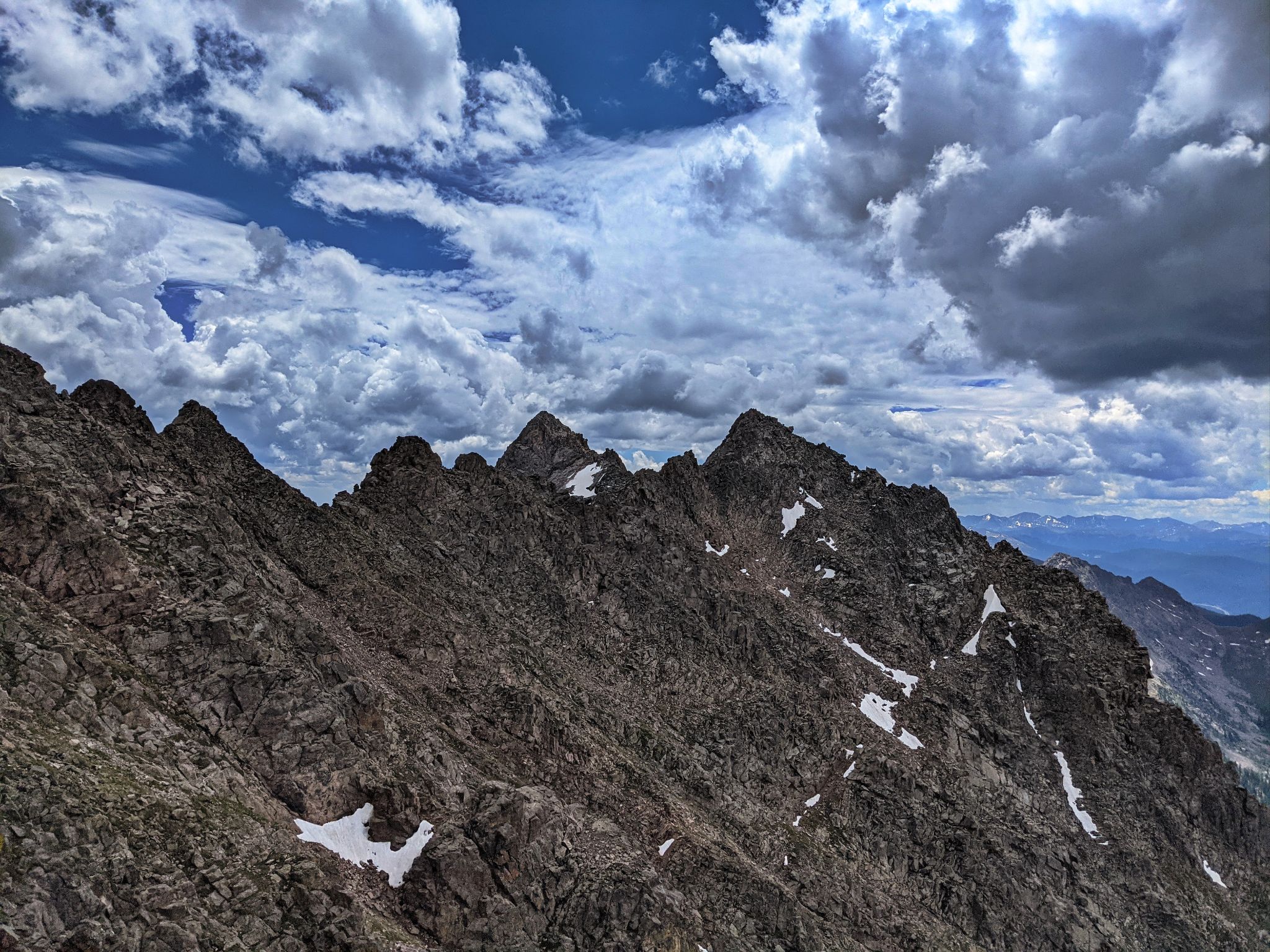
Looking south along Ripsaw from Peak C's summit
![Ripsaw 15]()
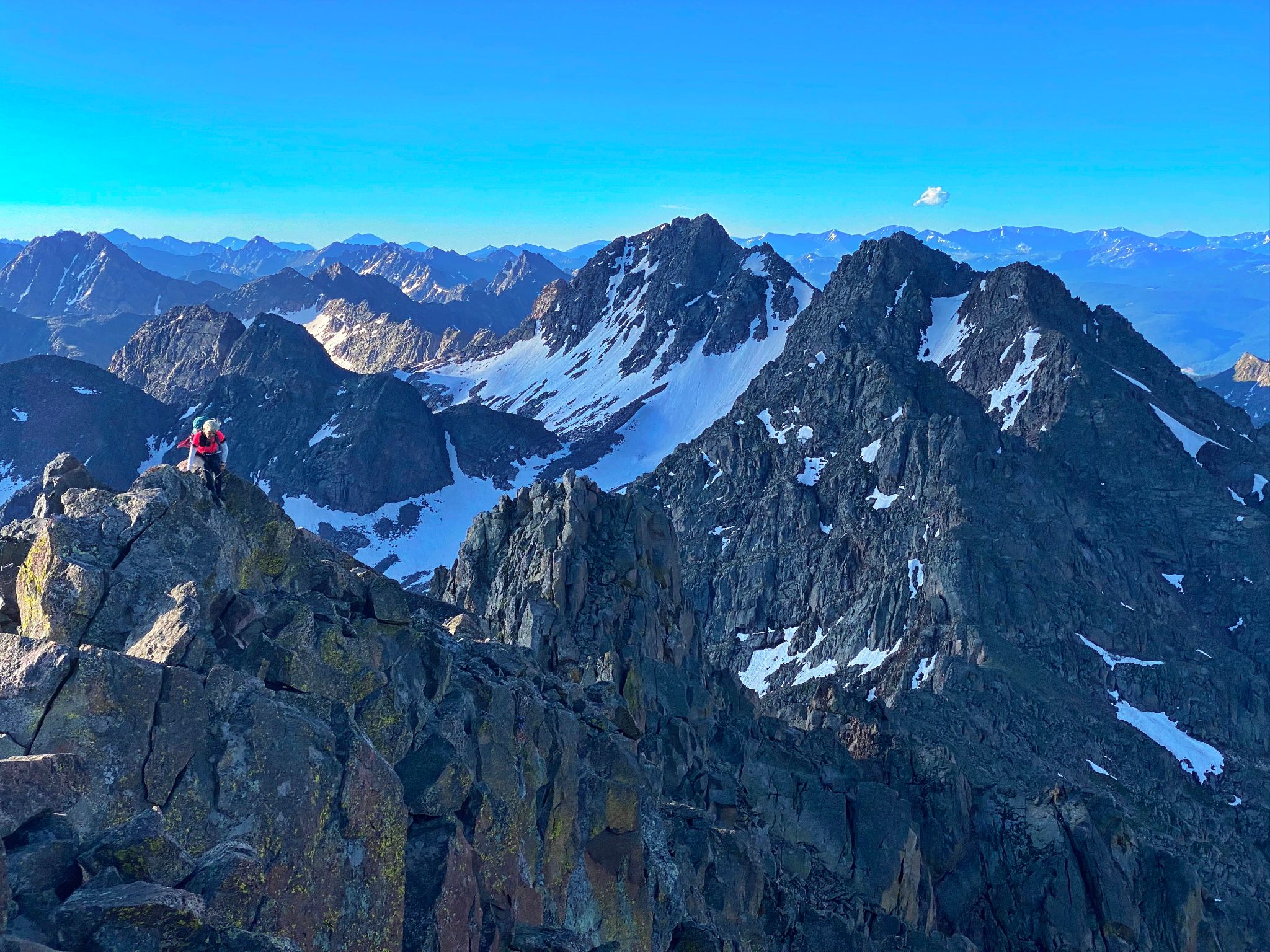
Kristi closes in on Peak C's summit with full view of our day's work behind
![Ripsaw 16]()
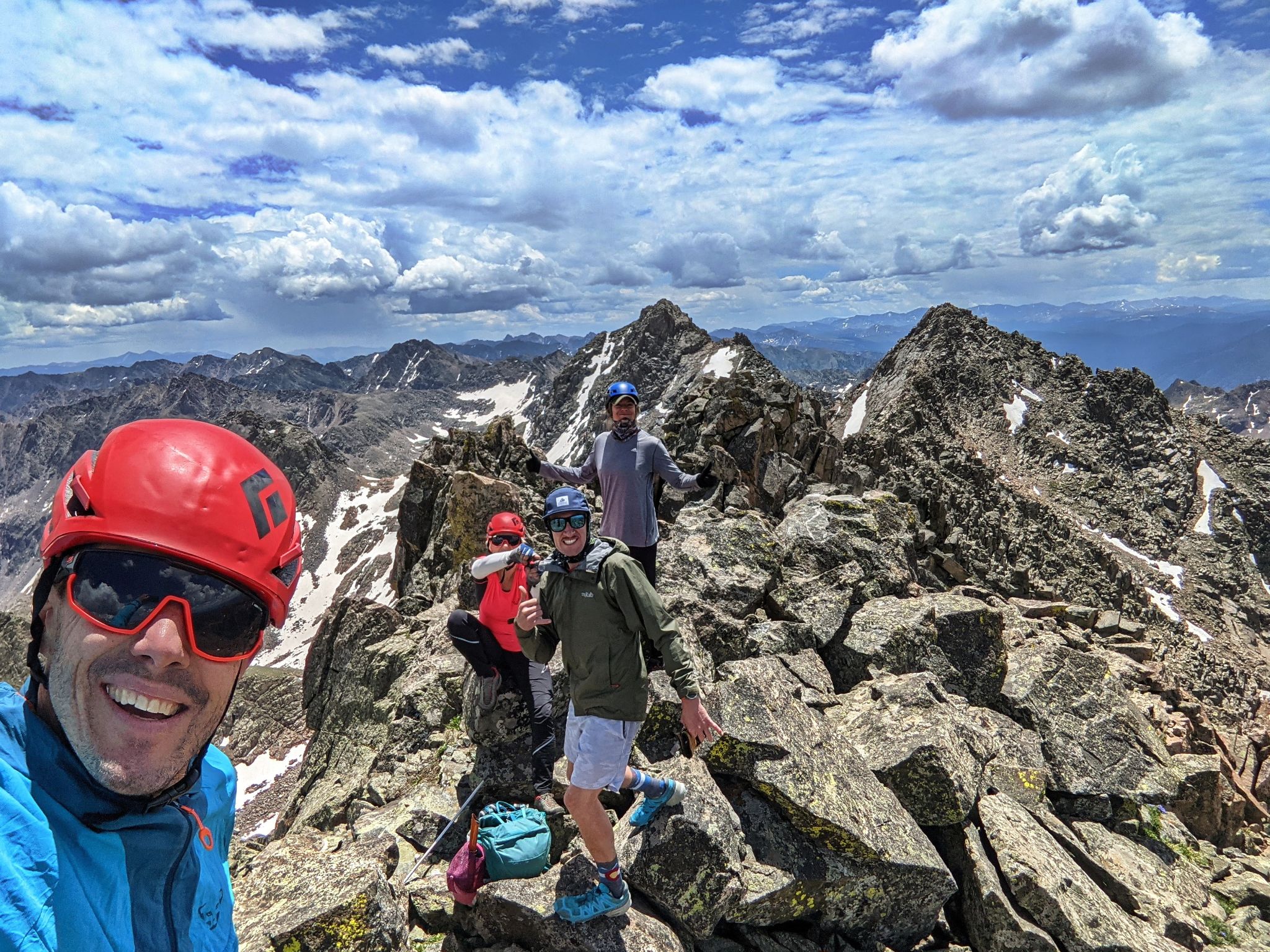
Stoked to get this party started
![Ripsaw 17]()
Kristi on C Prime
![Ripsaw 18]()
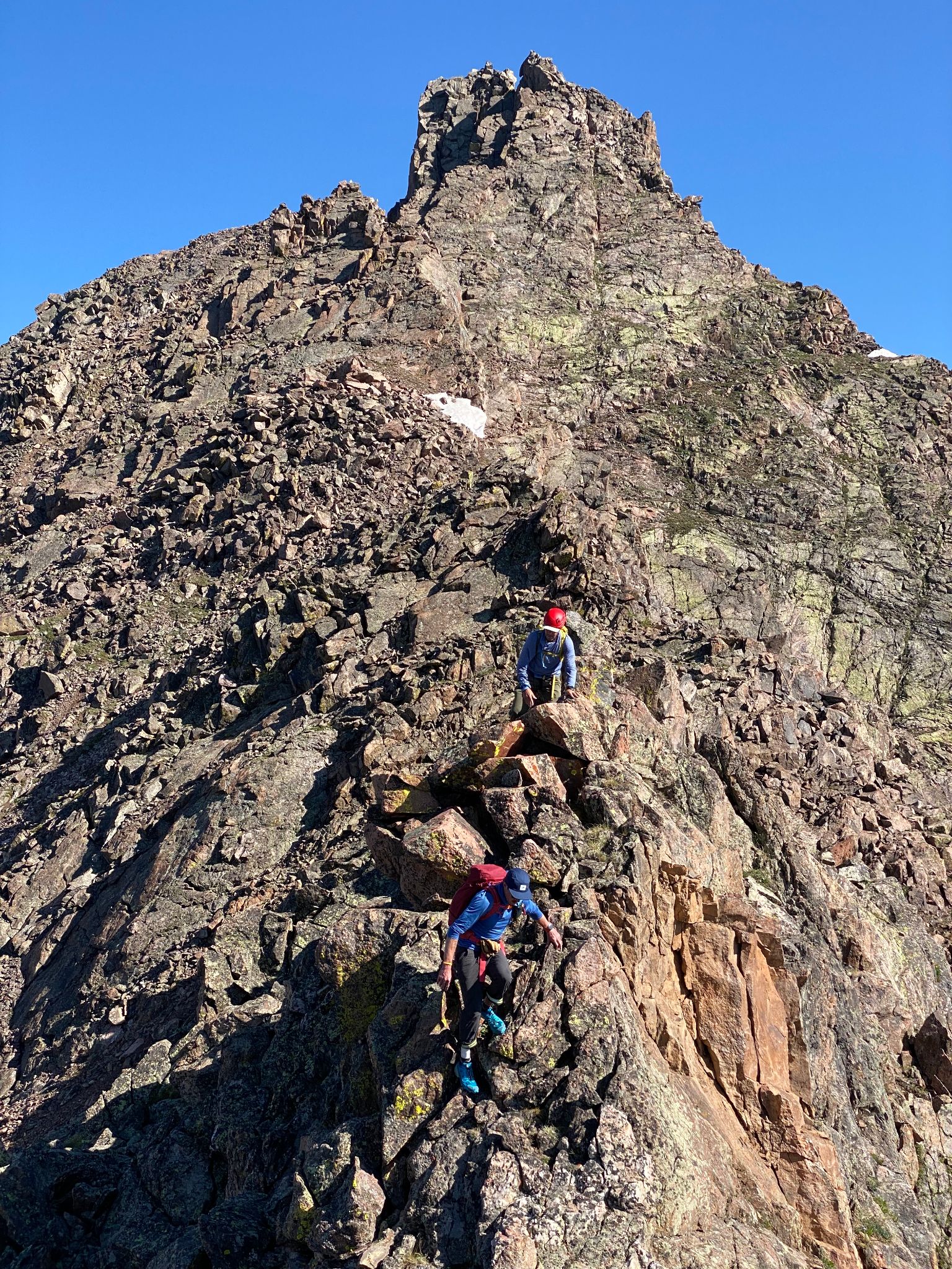
Climbing C Prime
![Ripsaw 19]()
Jeremy on C Prime
![Ripsaw 20]()
Prime Time
![Ripsaw 21]()
Descending C Prime
![Ripsaw 22]()
![Ripsaw 23]()
King of the Mountain
![Ripsaw 24]()
On the way to Peak D
![Ripsaw 25]()
Peak D
![Ripsaw 26]()
C Prime's south ridge
![Ripsaw 27]()
We... uh... 'reached around' and ascended Peak D from the west
![Ripsaw 28]()
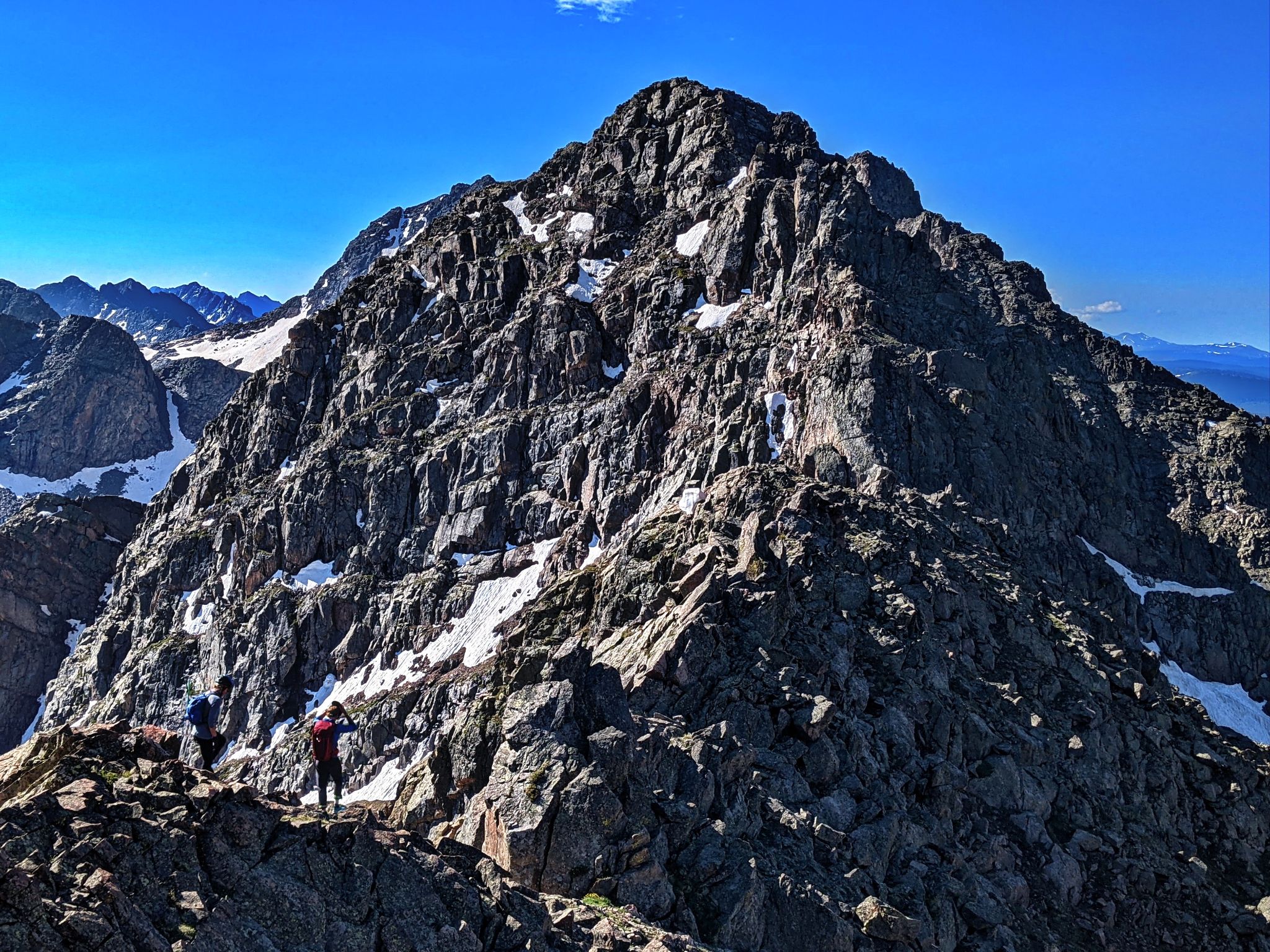
Approaching Peak D's summit with Peak's E, F and G behind
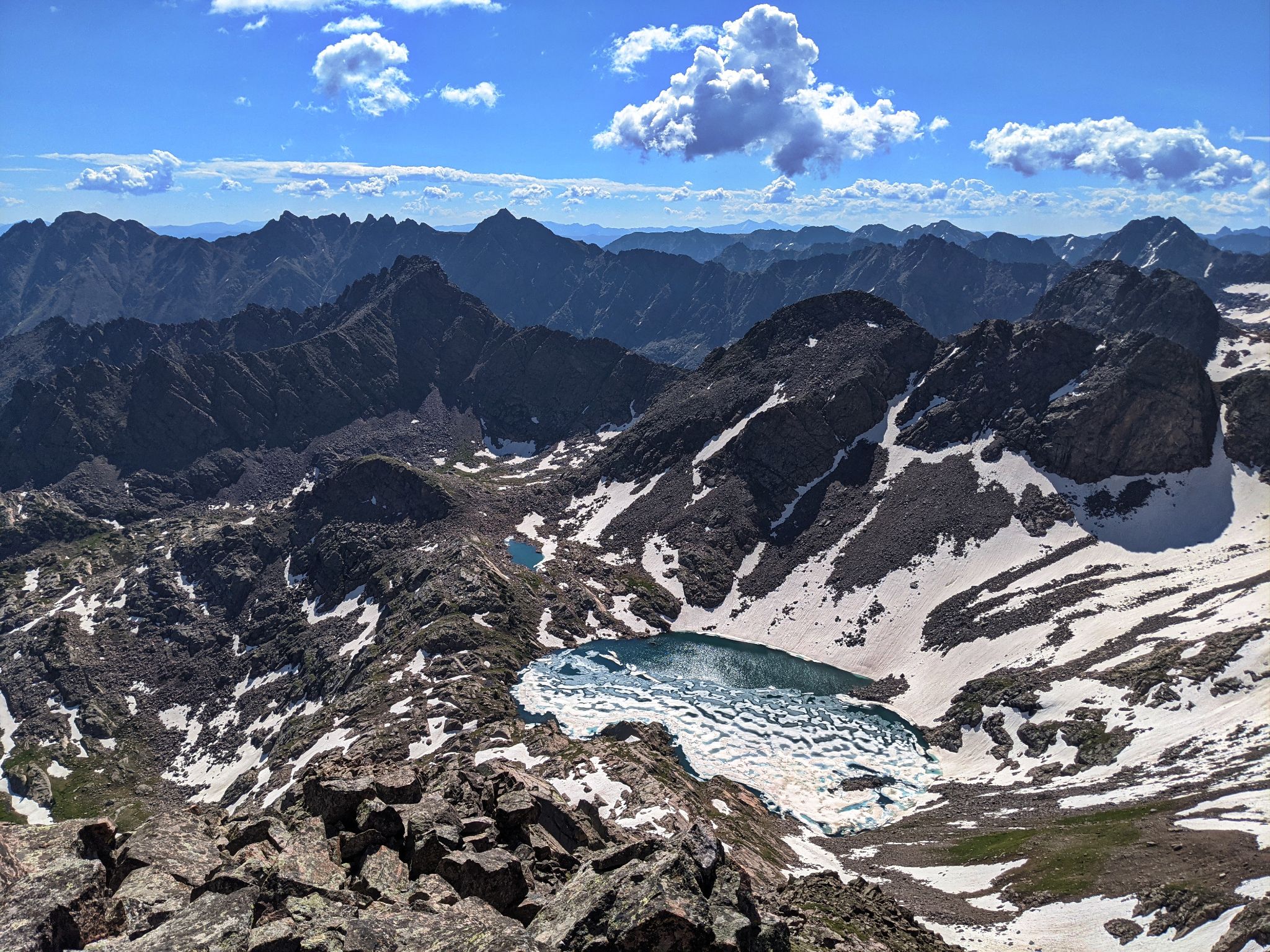
![Ripsaw 29]()
Unnamed lake above Bubble Lake just east of Peak D
![Ripsaw 30]()
Cheesin for Deez Nuts on Deez summit
![Ripsaw 31]()
Mordor and the road in front of us on the way to Peak E - The Gore looking rugged
![Ripsaw 32]()
Tricky downclimb
![Ripsaw 33]()
Kristi approaching the summit of Peak E. Peak F (hard right) and Peak G behind
![Ripsaw 34]()
Peak E's summit register placed on August 7th 1948. We were disappointed there was no pen... we were unable to add our names.
![Ripsaw 35]()
E is for Excited to head over to Peak F
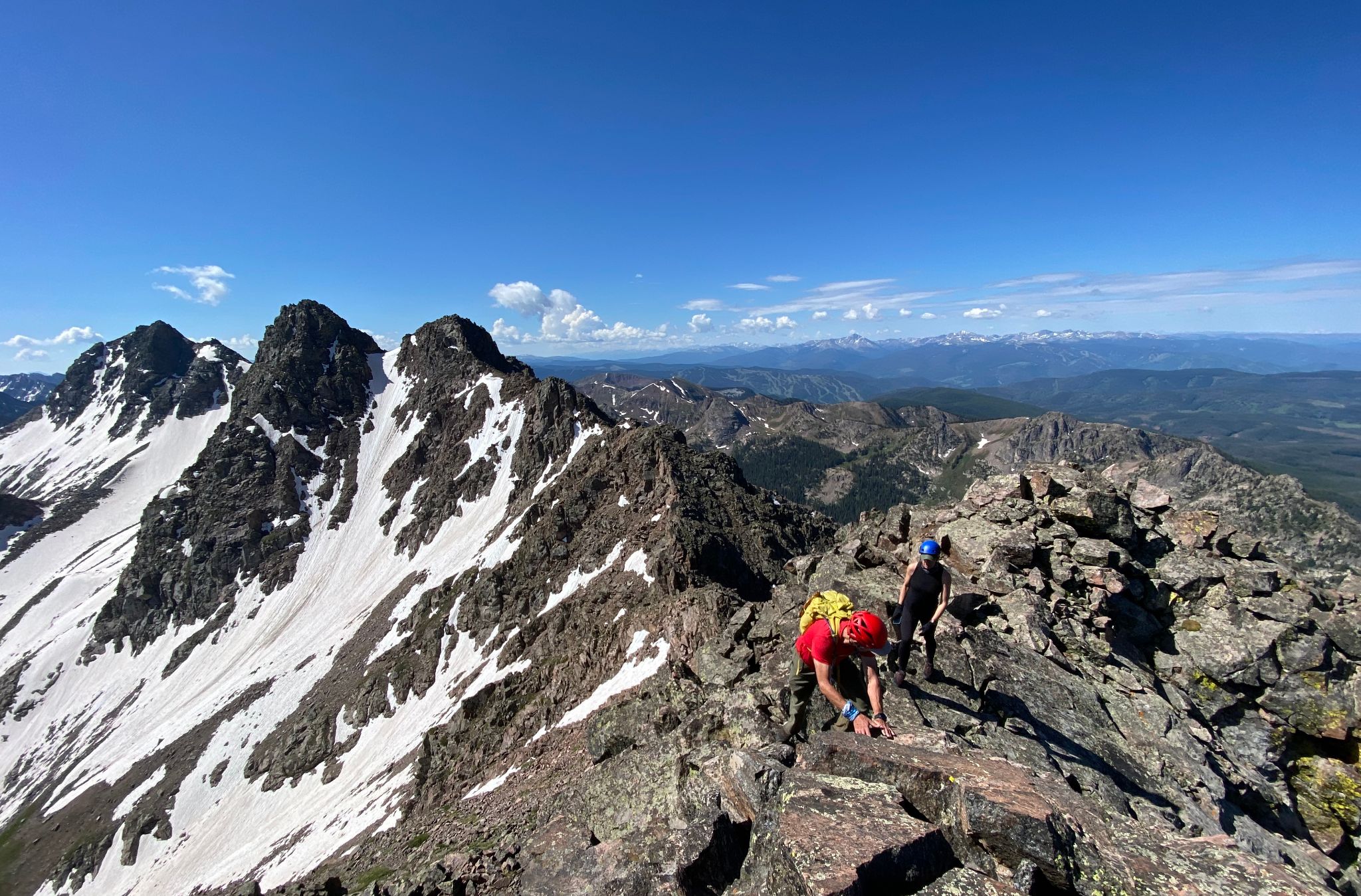
![Ripsaw 36]()
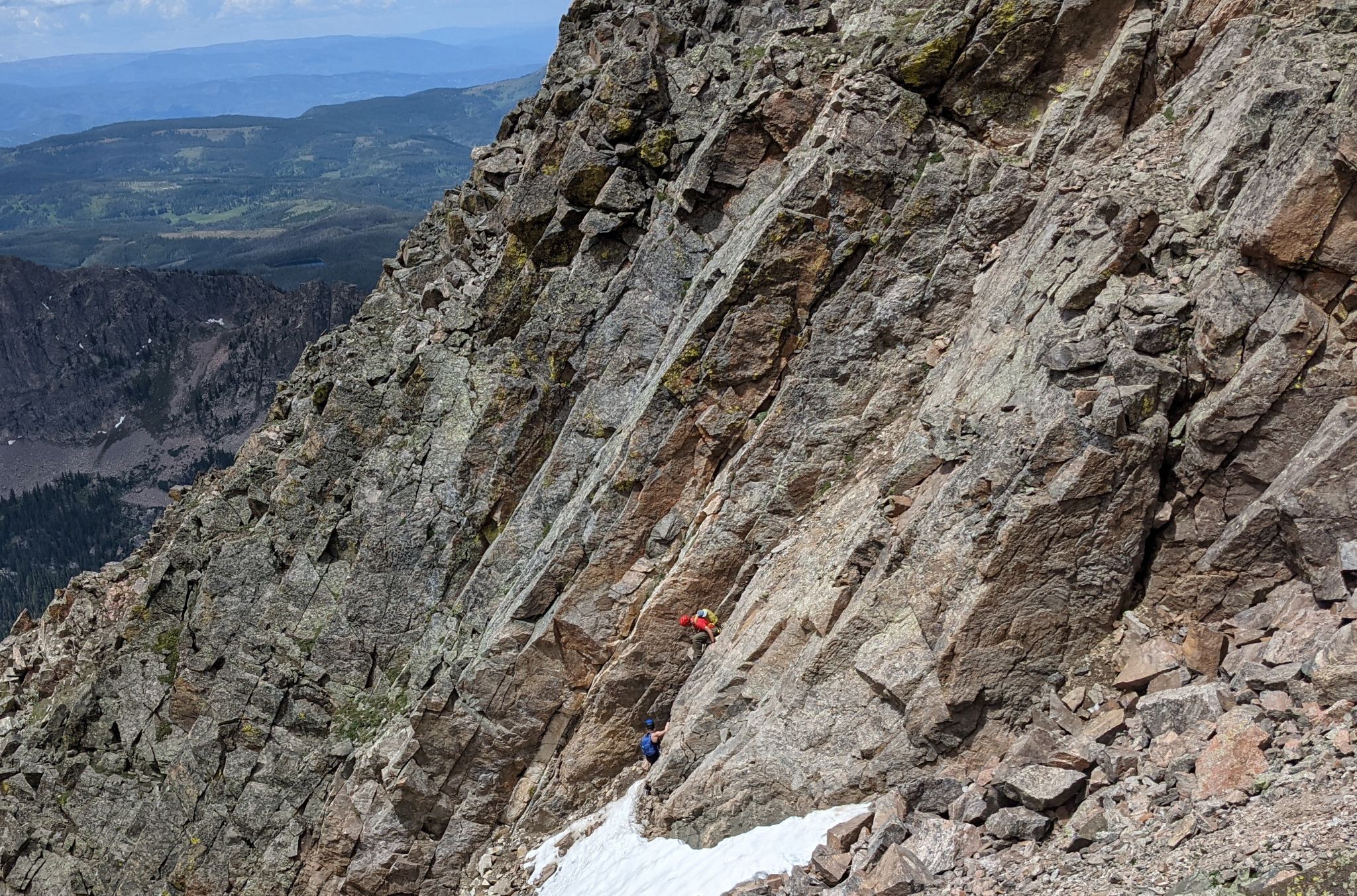
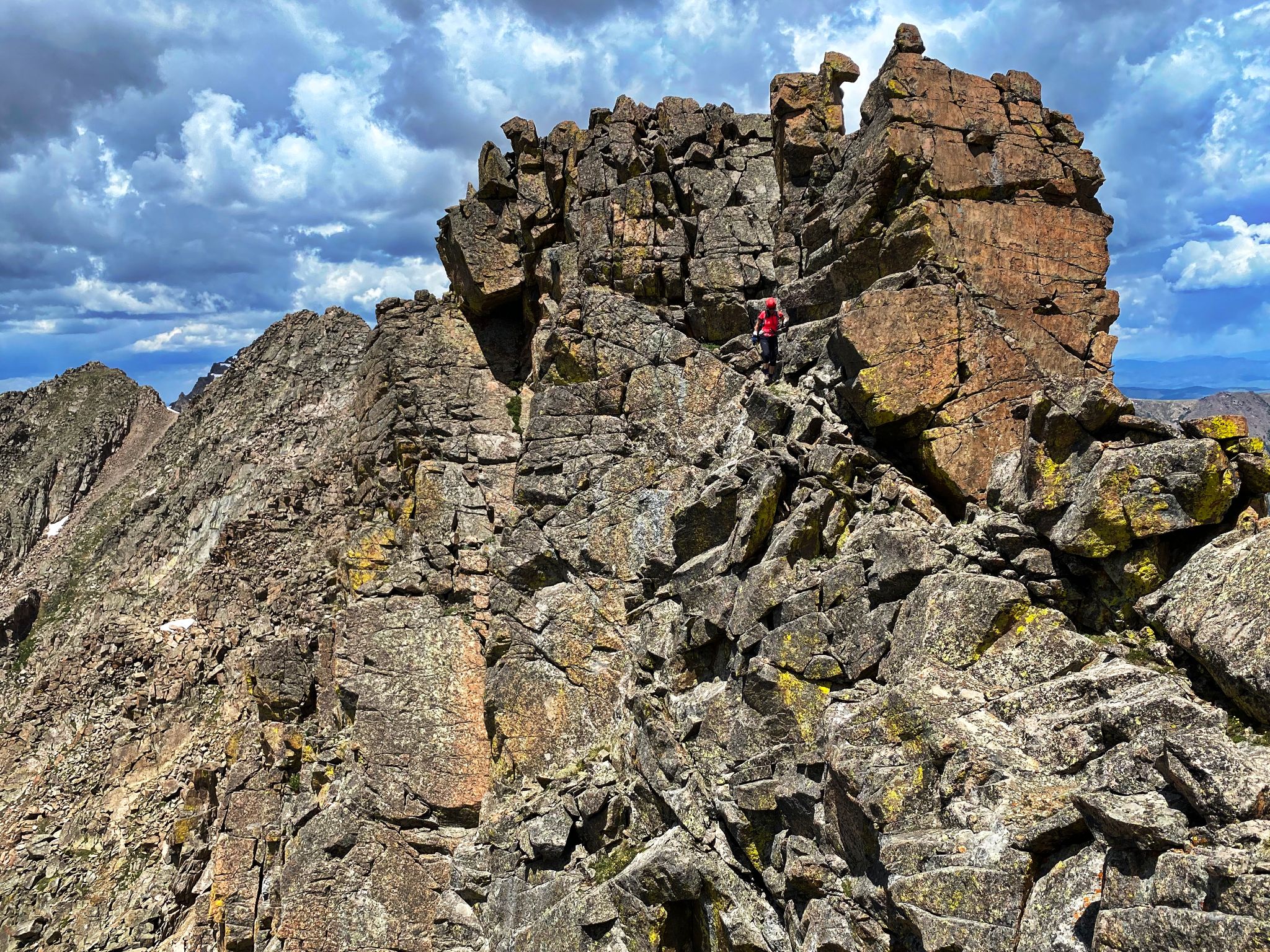
Peak E to Peak F was the most technical (and fun) section of the the ridge
![Ripsaw 37]()
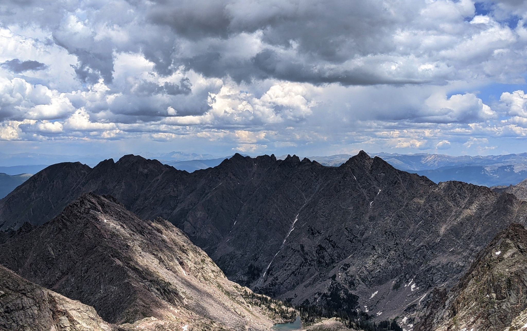
The ridge bookended by Peak L and Peak O
![Ripsaw 38]()
Descending Peak E - There are three people in this shot
![Ripsaw 39]()
Dammit... we forgot our skis! The Peak E-F saddle. We sped up as storms started to collect. We summited Peak F directly from the north and headed on to Peak G
![Ripsaw 40]()
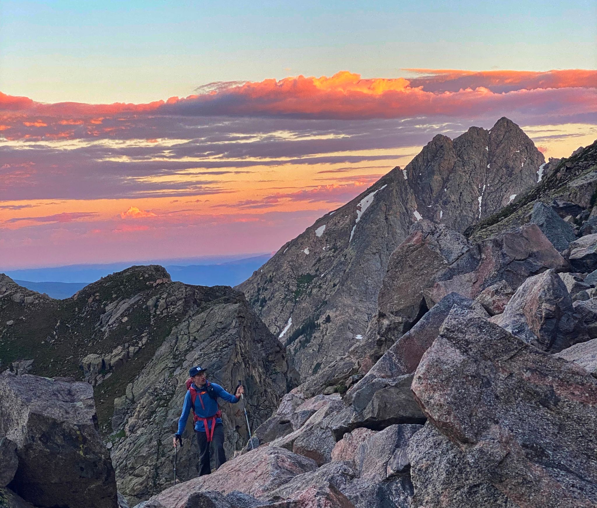
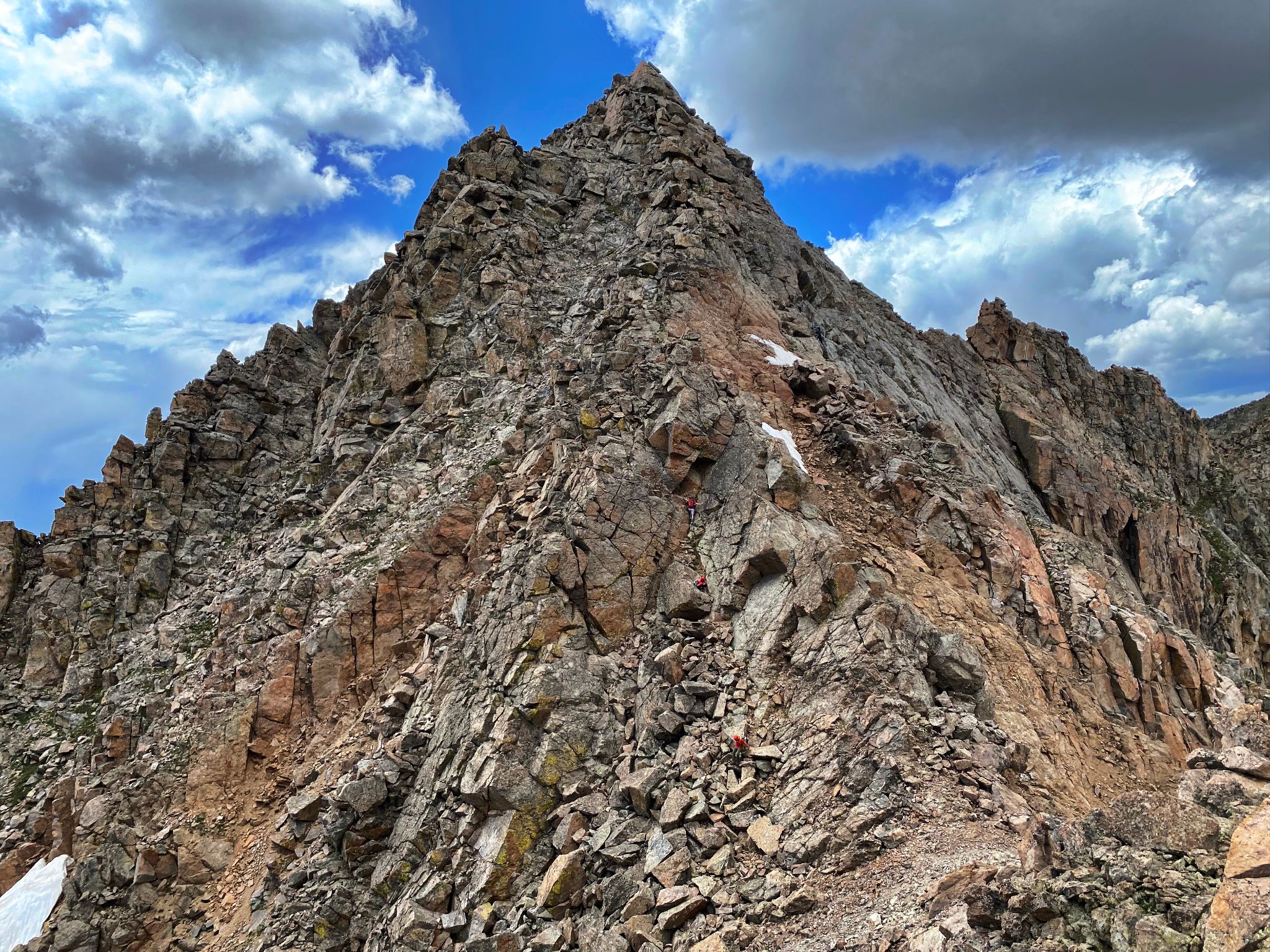
Heather evaluating ascent options on G's northwest ridge
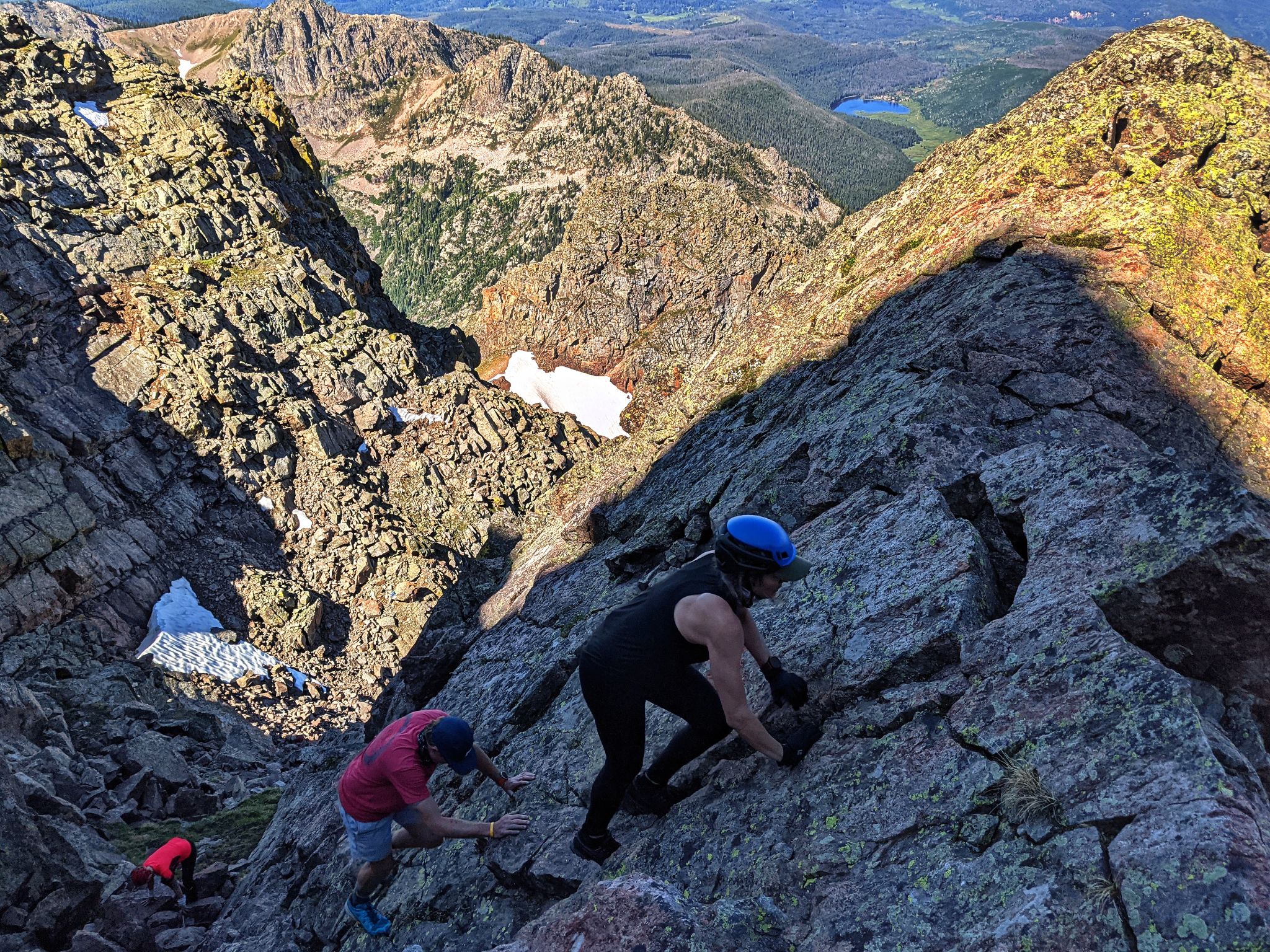
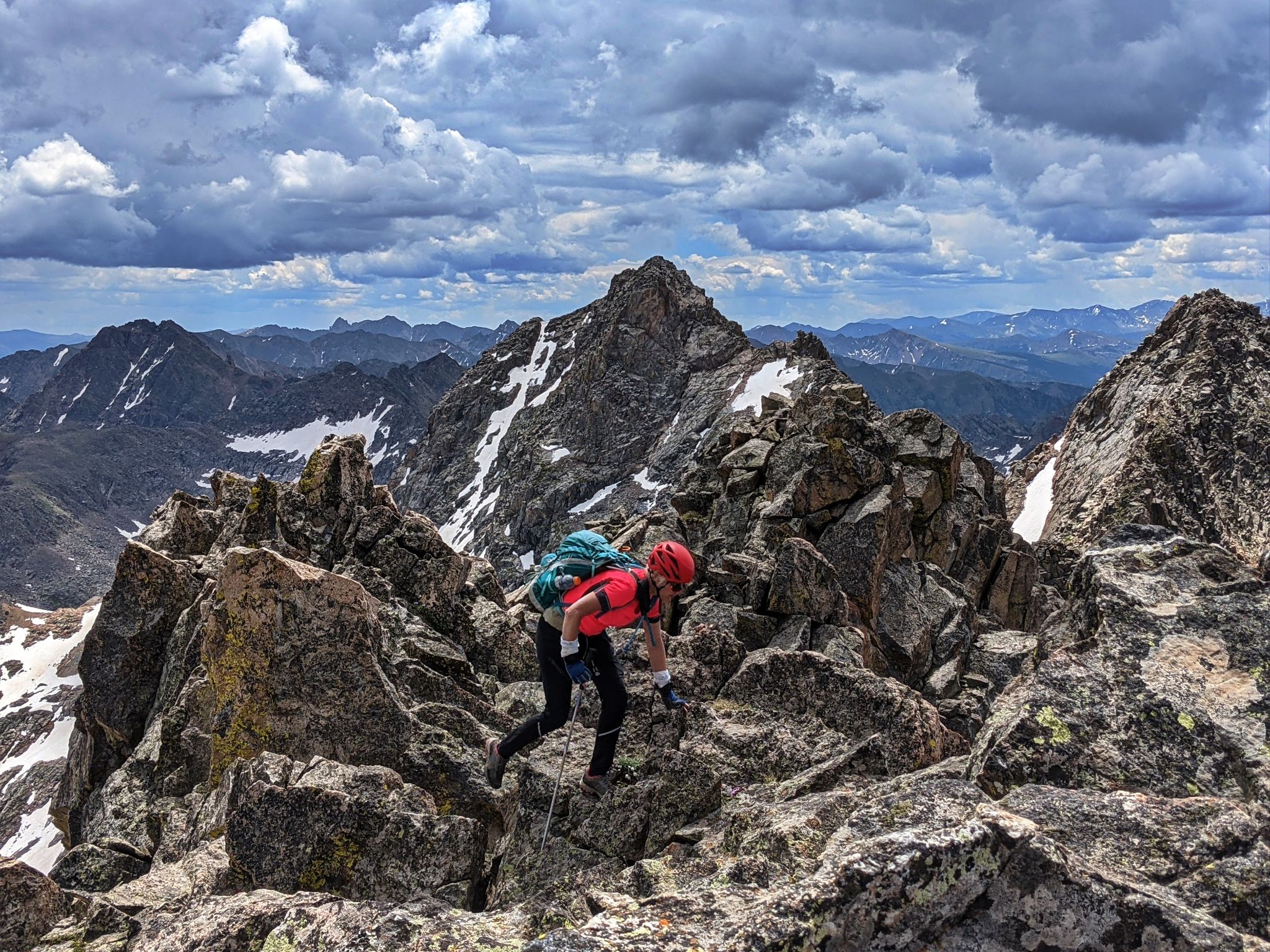
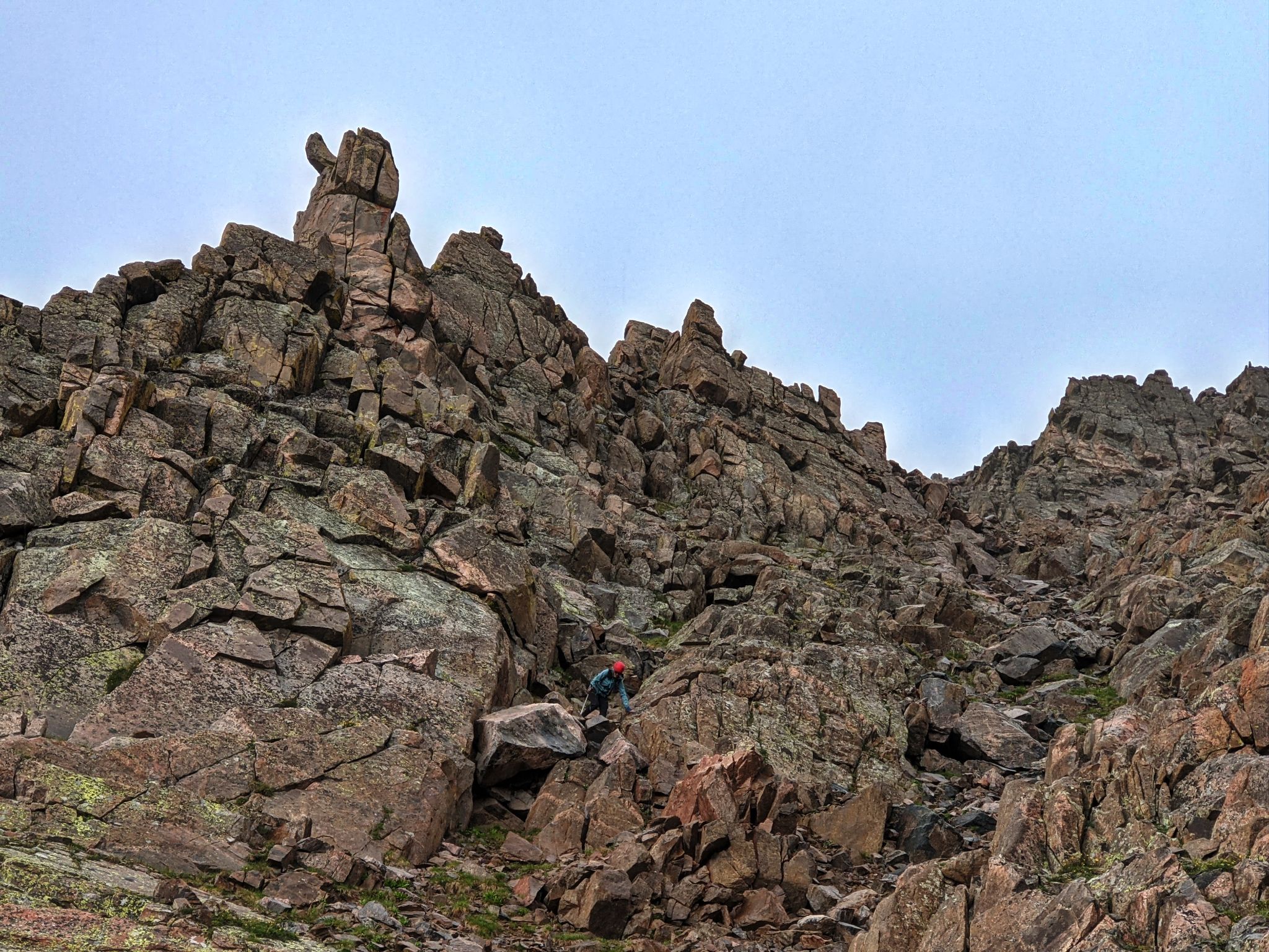
![Ripsaw 41]()
Navigating Peak G's summit ridge to the true summit to the south. Rain was very close at this point and thunder was getting closer.
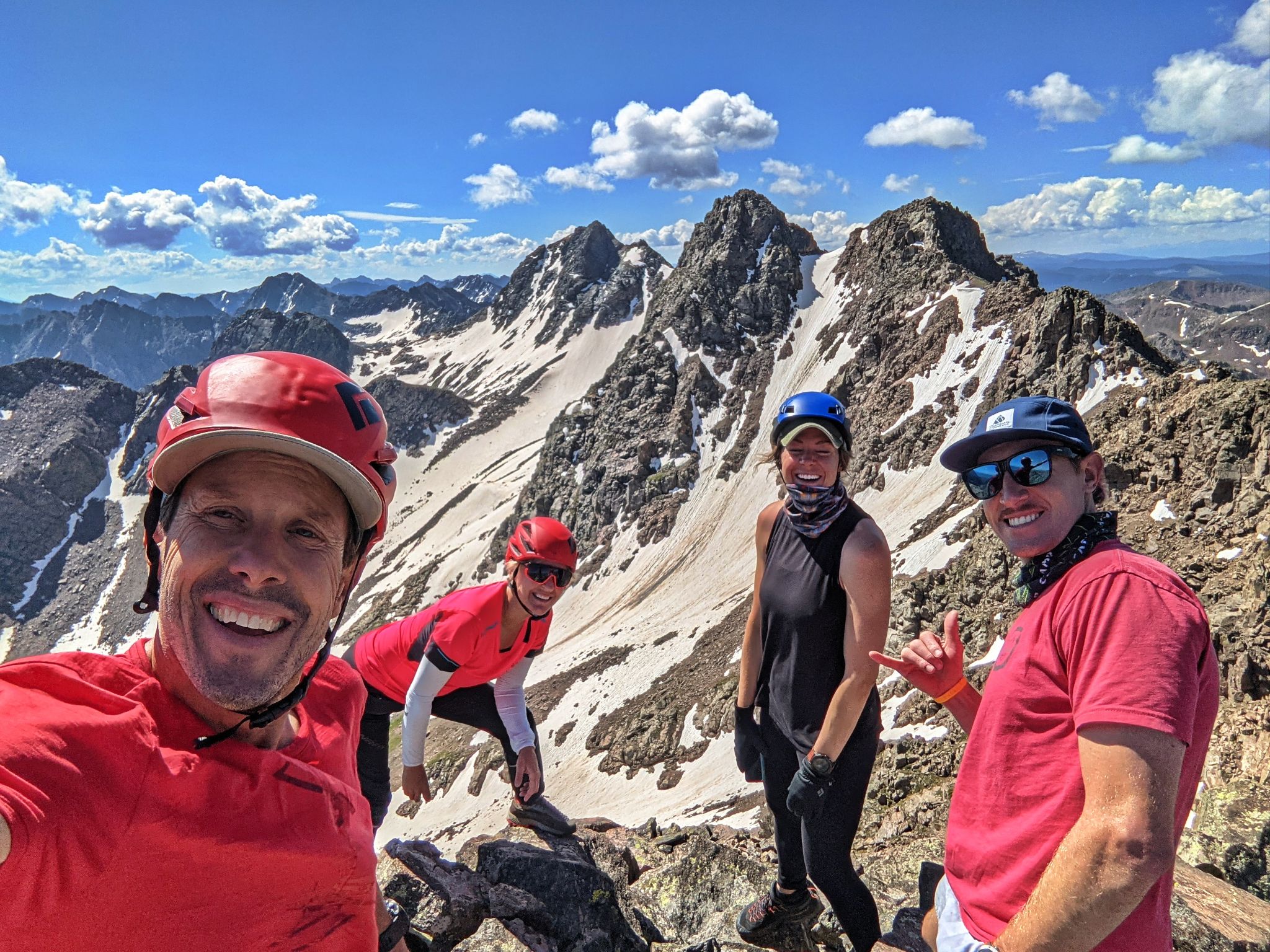
![Ripsaw 42]()
What up G!
![Ripsaw 43]()
Due to weather, we bailed on our option to traverse to Peak H over Black BM and descended from Peak G's summit
![Ripsaw 44]()
We did not have time to backtrack to the easier descent option from the F-G saddle
![Ripsaw 45]()
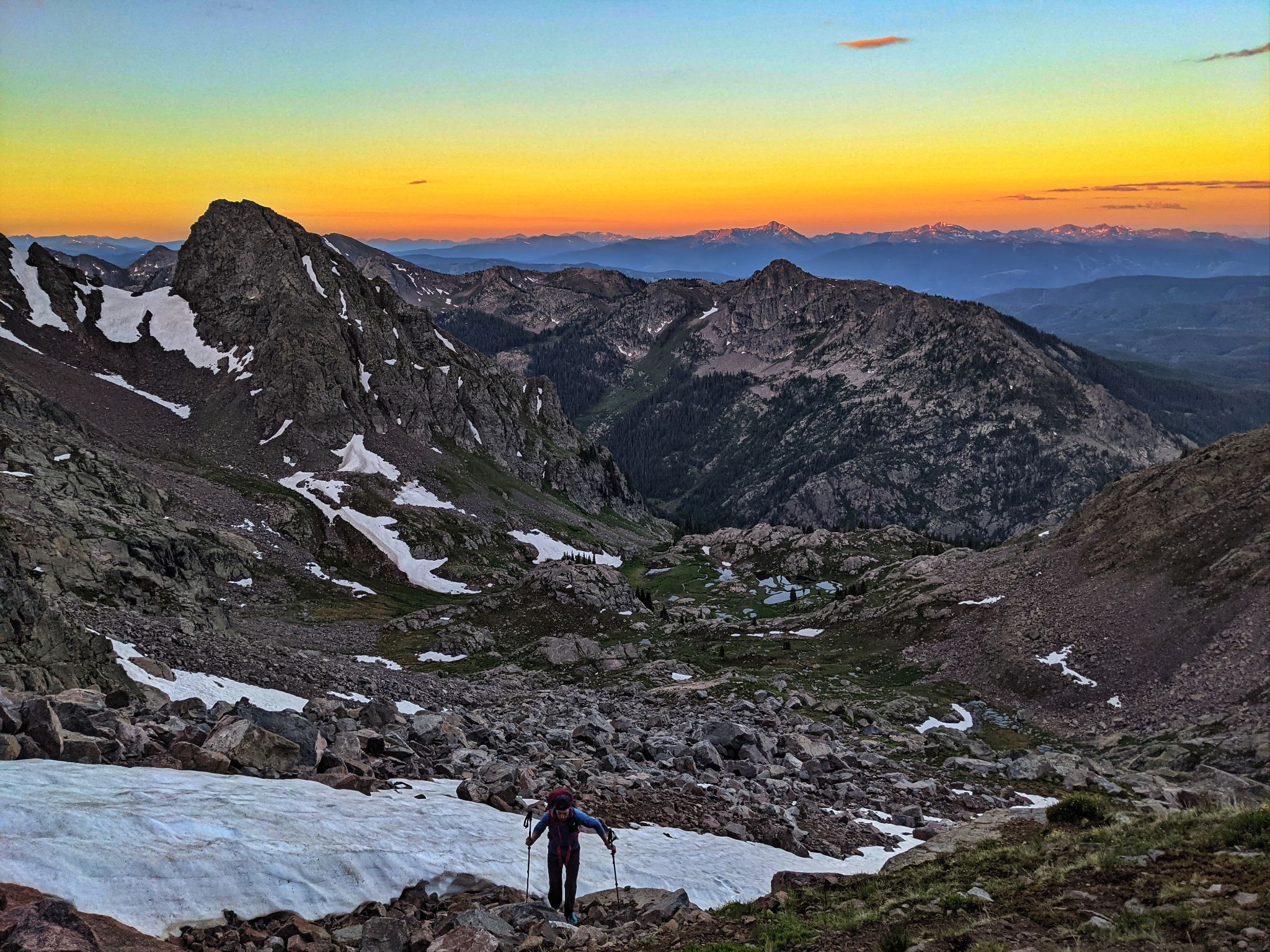
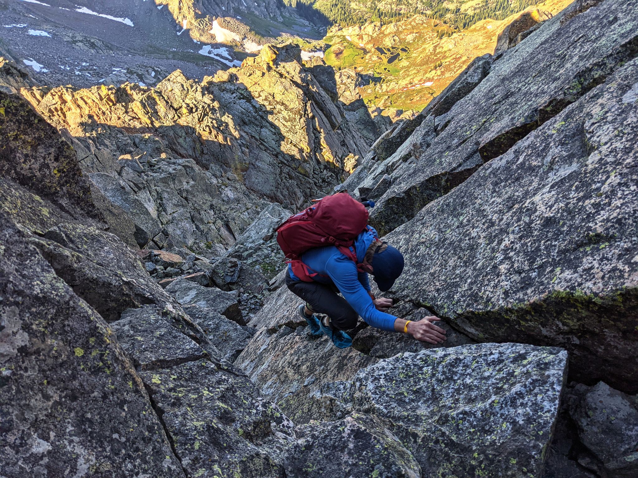
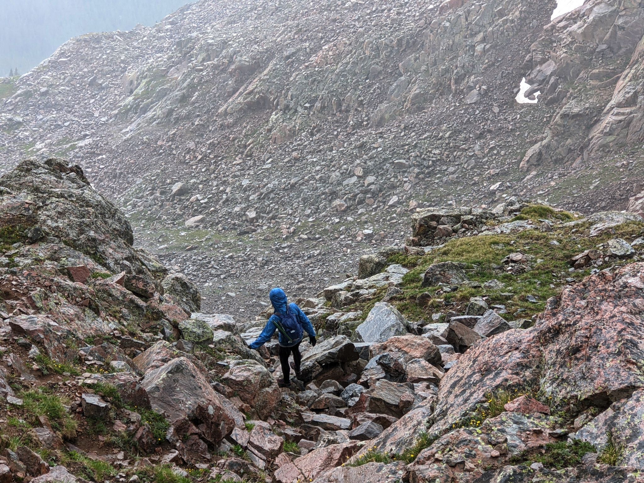
Descending Peak G was tricky, wet and steep
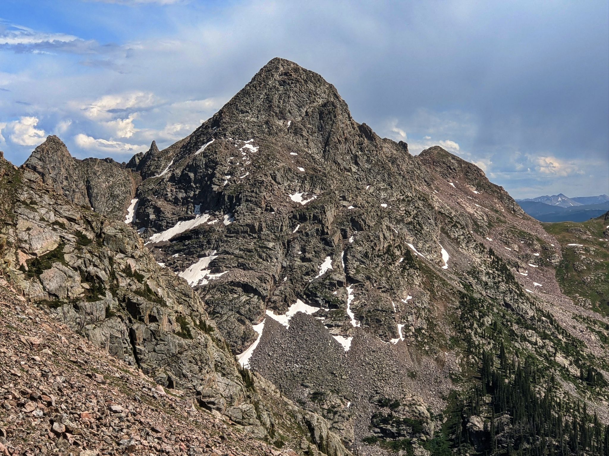
![Ripsaw 46]()
The Spider - West Booth Pass far right
![Ripsaw 47]()
After the brutal 3000ft descent from G to the valley floor, the trail back to camp was tough to follow and strewn with deadfall... albeit gorgeous
![Ripsaw 48]()
After packing up camp we headed back to Piney River Lodge where we met up with George Clooney for a sunset happy hour