Peak R - S - T - T'
Date: 09/09/2022
Partner: Kristi Henes
Start: Pitkin TH
Summits: Peak R, Peak S, Peak T, Peak T'
End: Harrigan TH
Distance: 22.2miles
Elevation Gain: 8000ft
Duration: 17hrs 50min
GPX
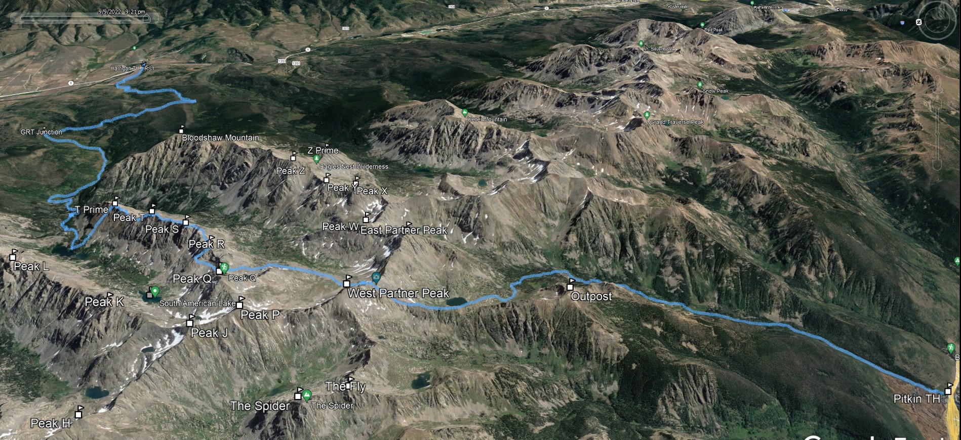
Over the past few years I have been opting for long days over backpack trips when feasible. The rugged terrain, incredible views and the quirky local mystique of the Gore made this south to north traverse extra special. Setting the shuttle was completely worth it. We used a 30m 8mm rope to summit Peak T.
Much thanks to Brent Herring for input and beta on this route.
![RST 01]()
22.2m - 8000ft - 17hrs 50min
![RST 02]()
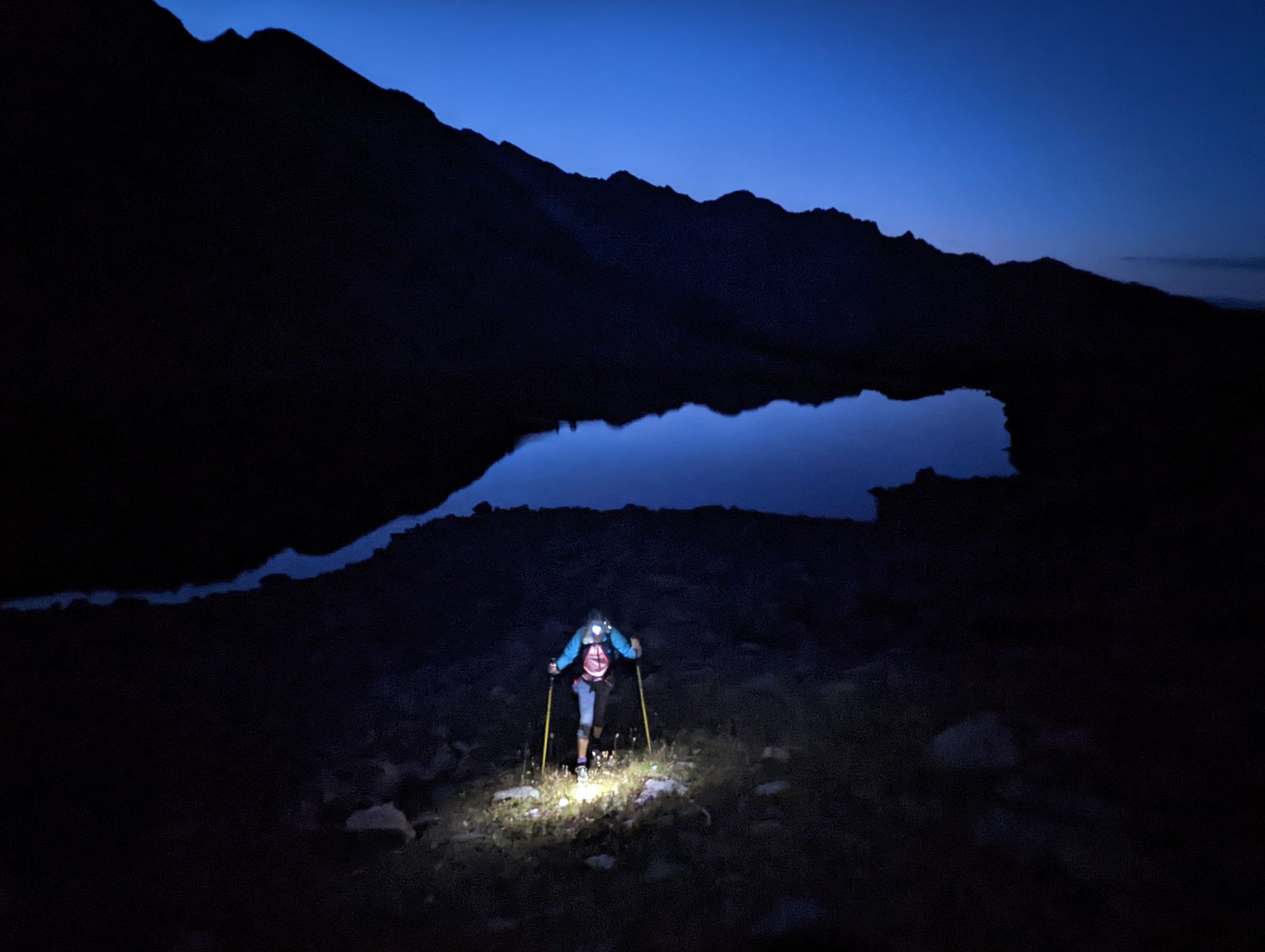
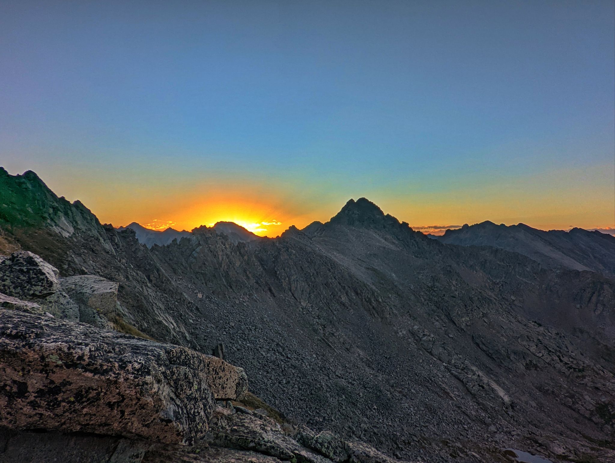
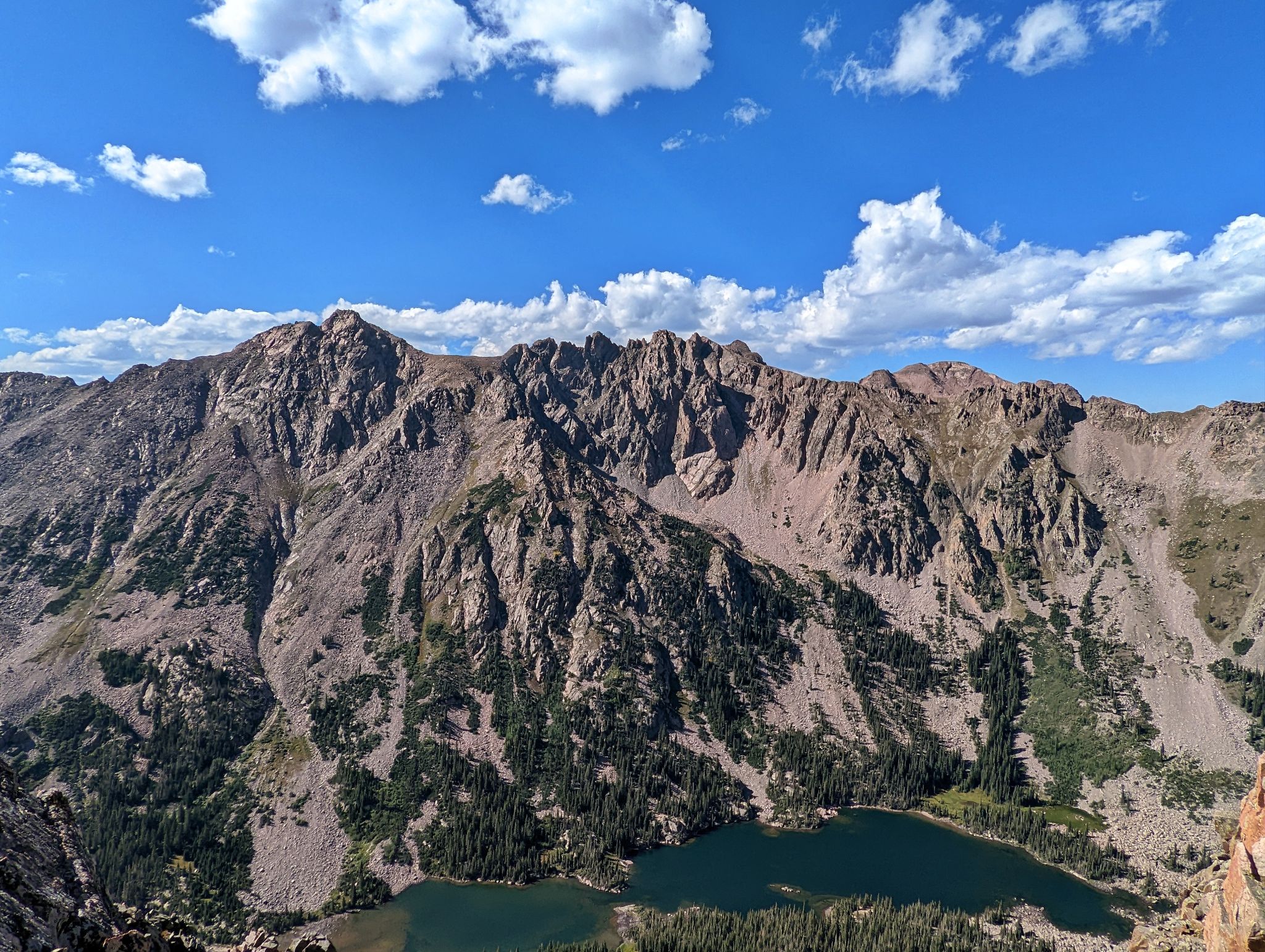
We started at 3:30am and made it halfway up Might Pass for sunrise. Pitkin Lake behind
![RST 03]()
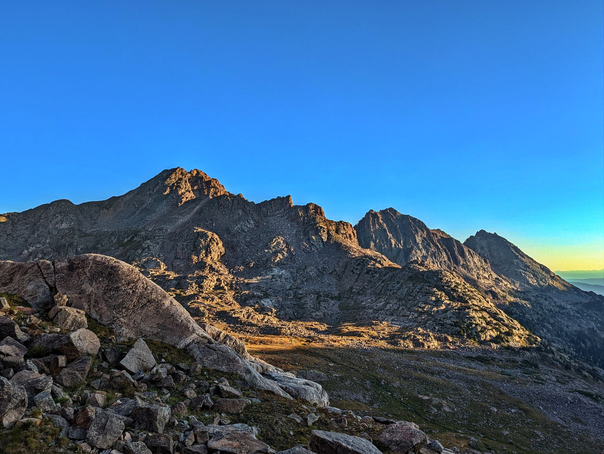
Kristi on West Partner's south ridge with Outpost behind
![RST 04]()
The Spider and the Fly with Booth Lake below
![RST 05]()
Sunrise behind East Partner from the south side of Mite Pass
![RST 06]()
L2R: Q, R and S from the north side of Mite Pass
![RST 07]()
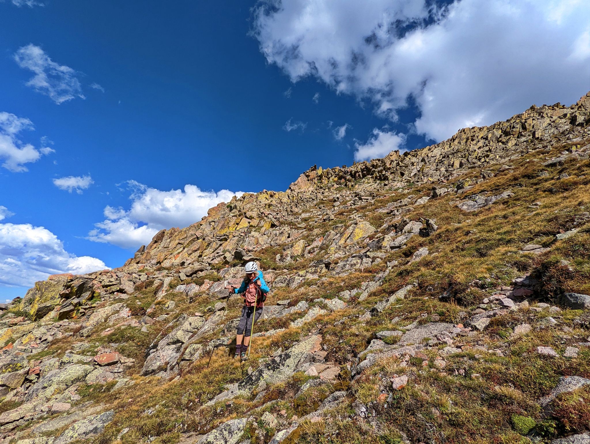
Kristi descends the north side of Mite Pass
![RST 08]()
Contouring north to the QR saddle - East Partner behind
![RST 09]()
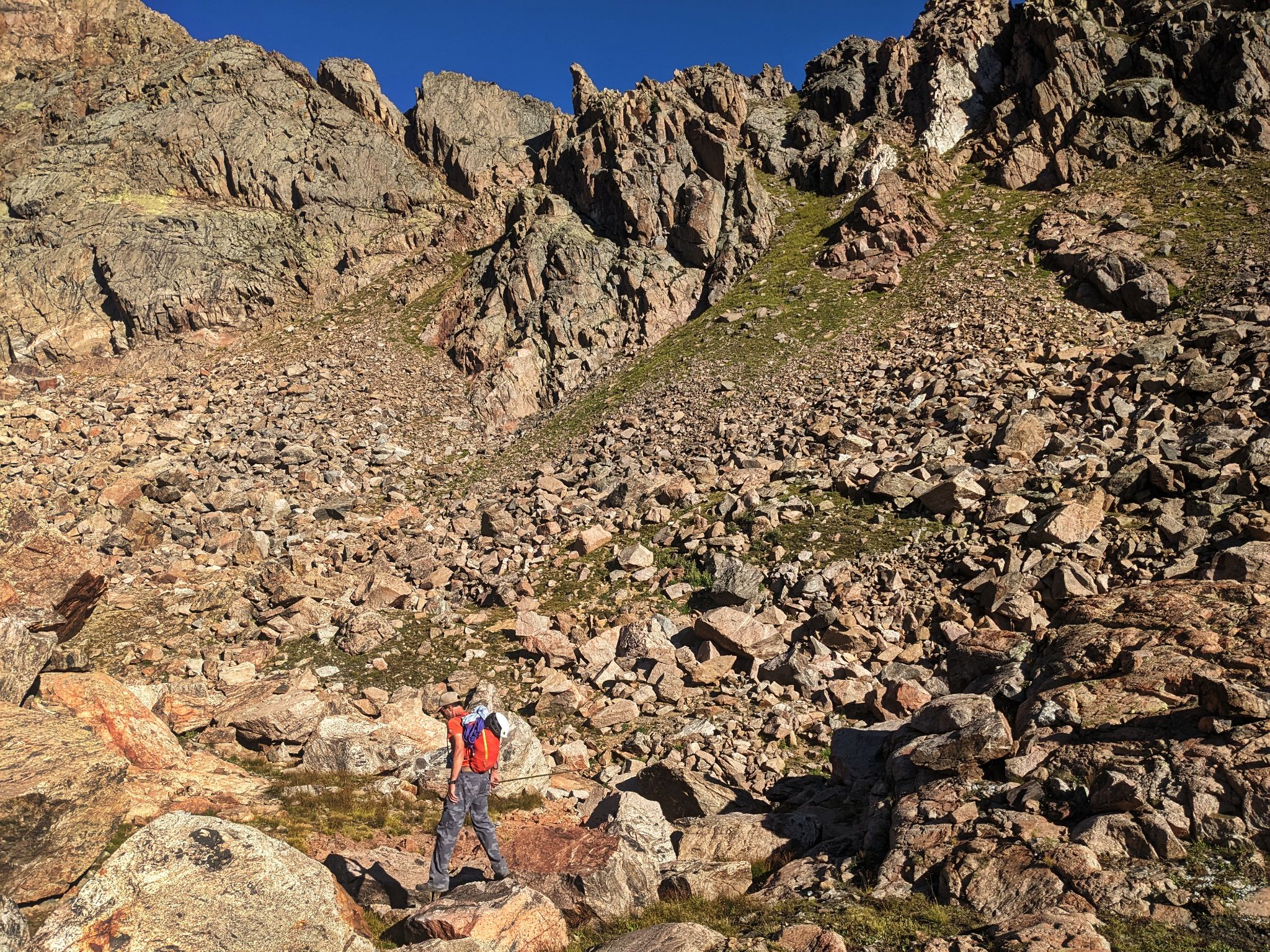
Below the gully to the QR saddle
![RST 10]()
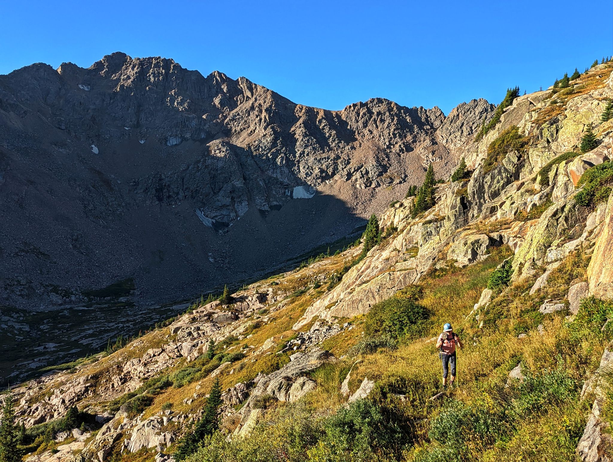
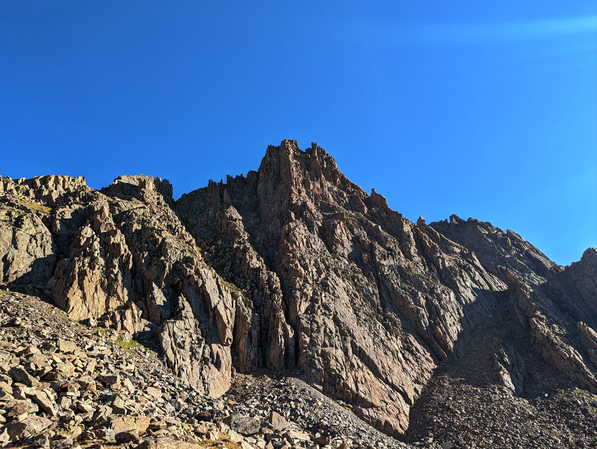
Looking up to Peak Q
![RST 11]()
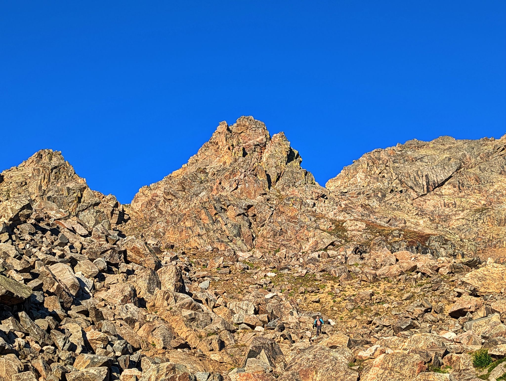
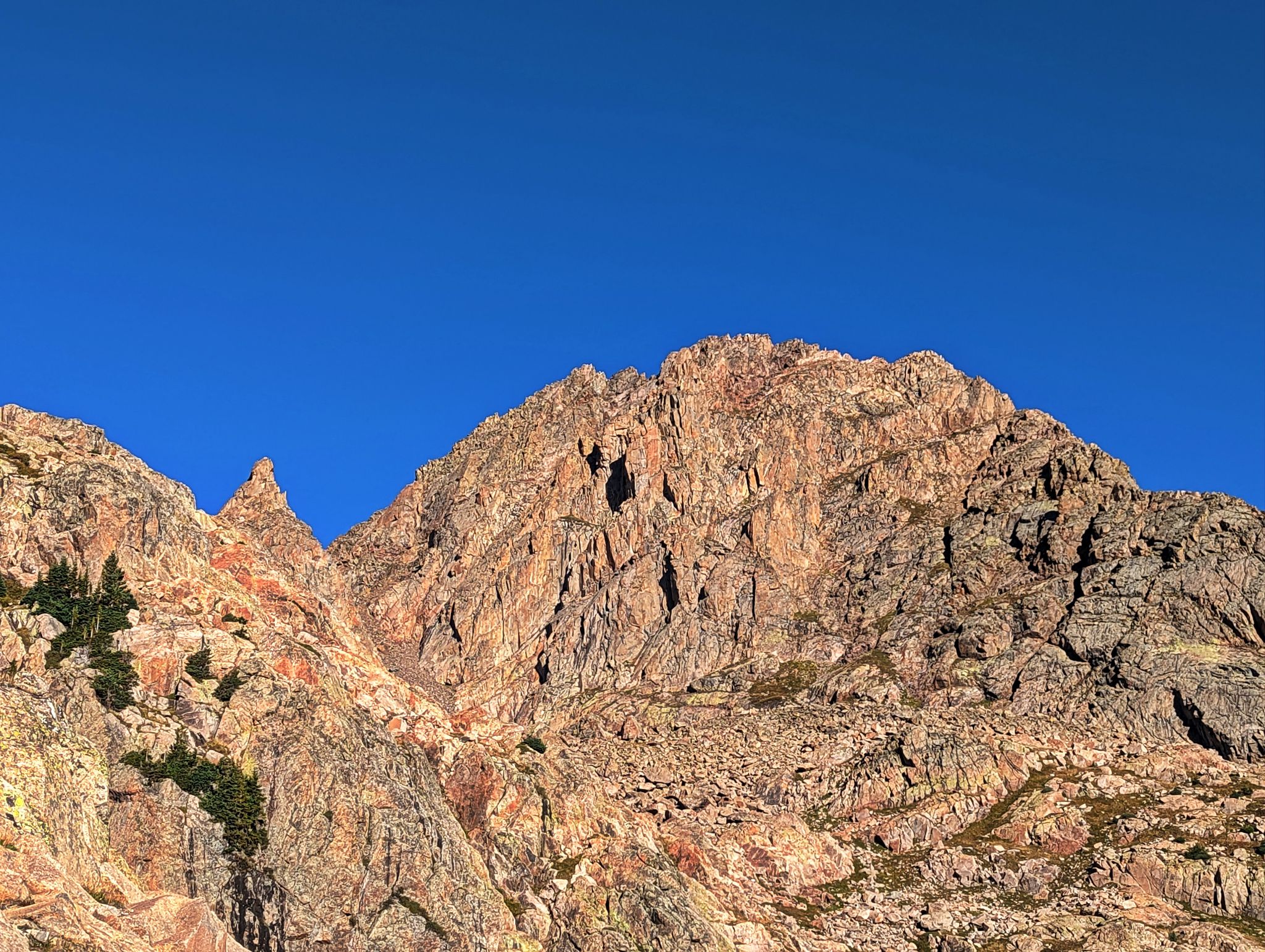
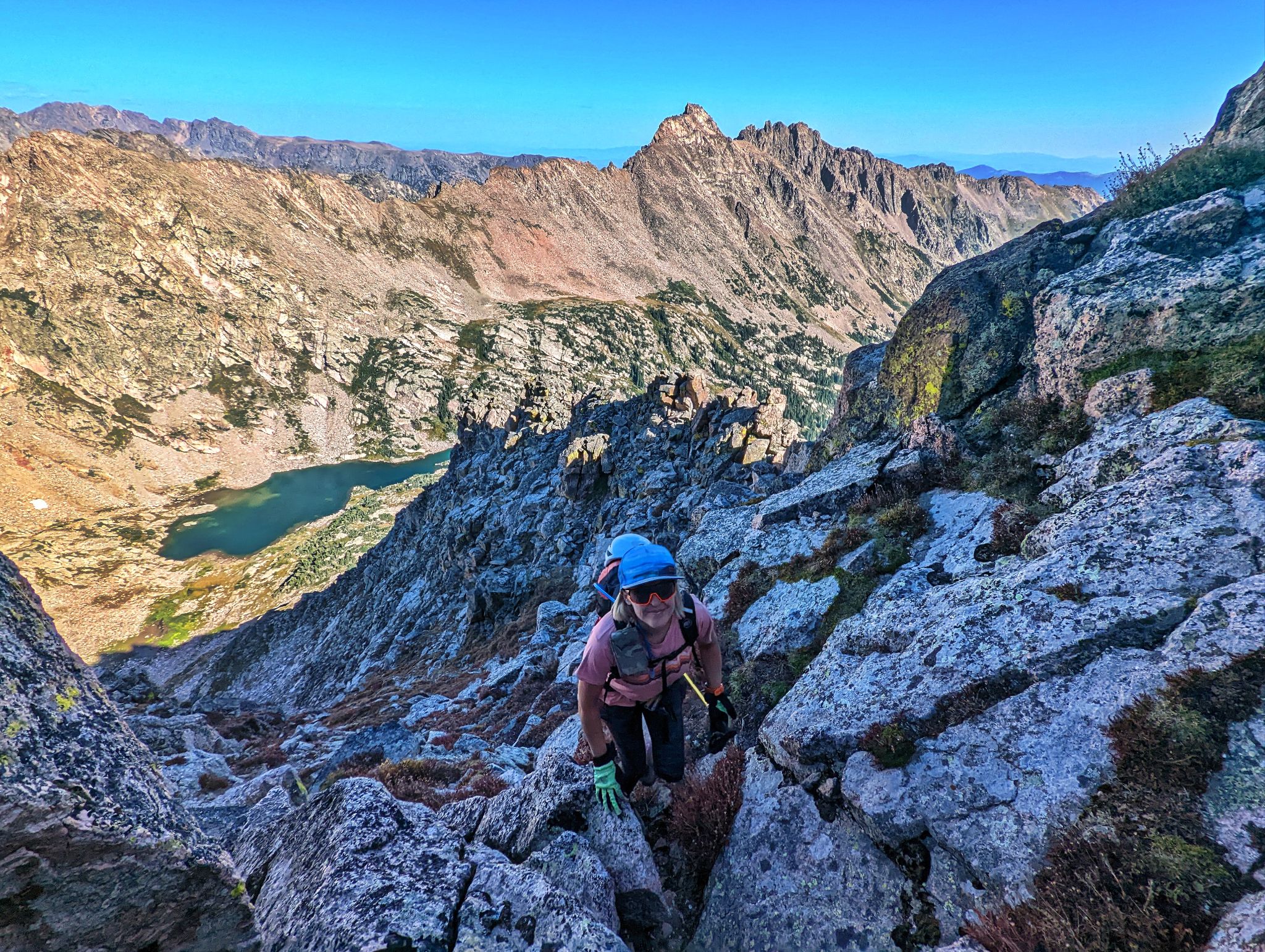
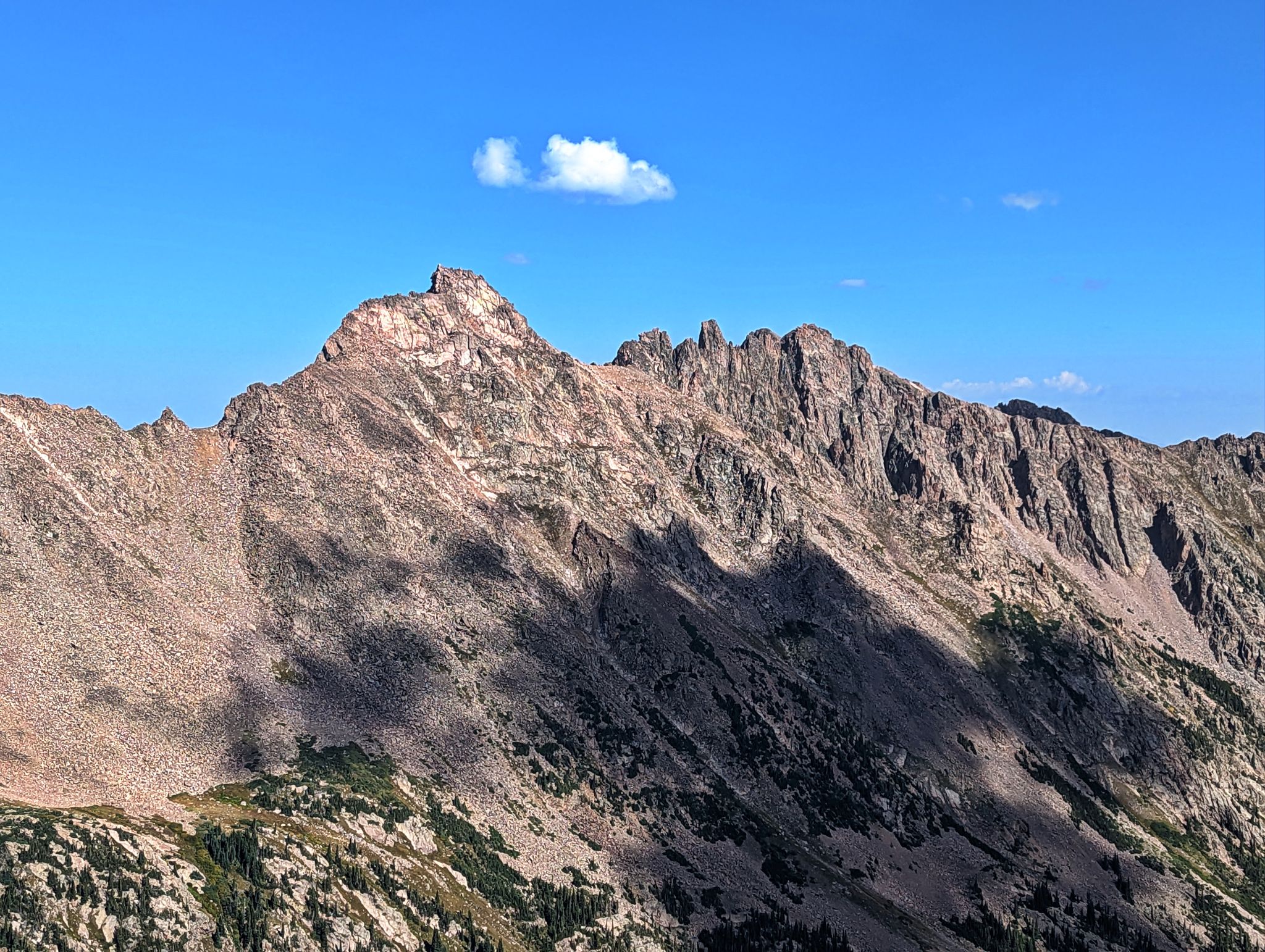
Looking up to Peak R
![RST 12]()
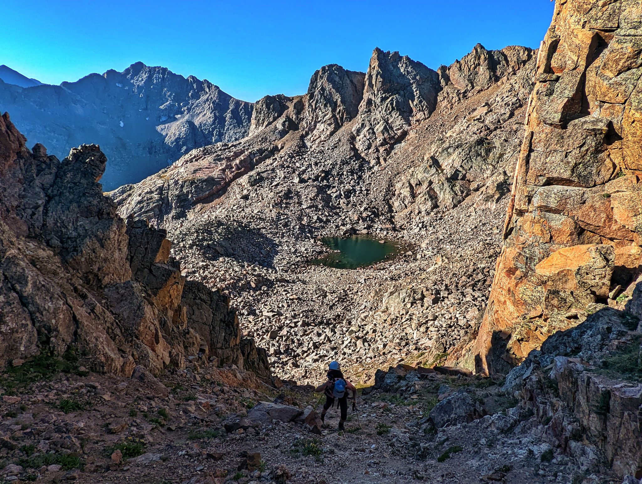
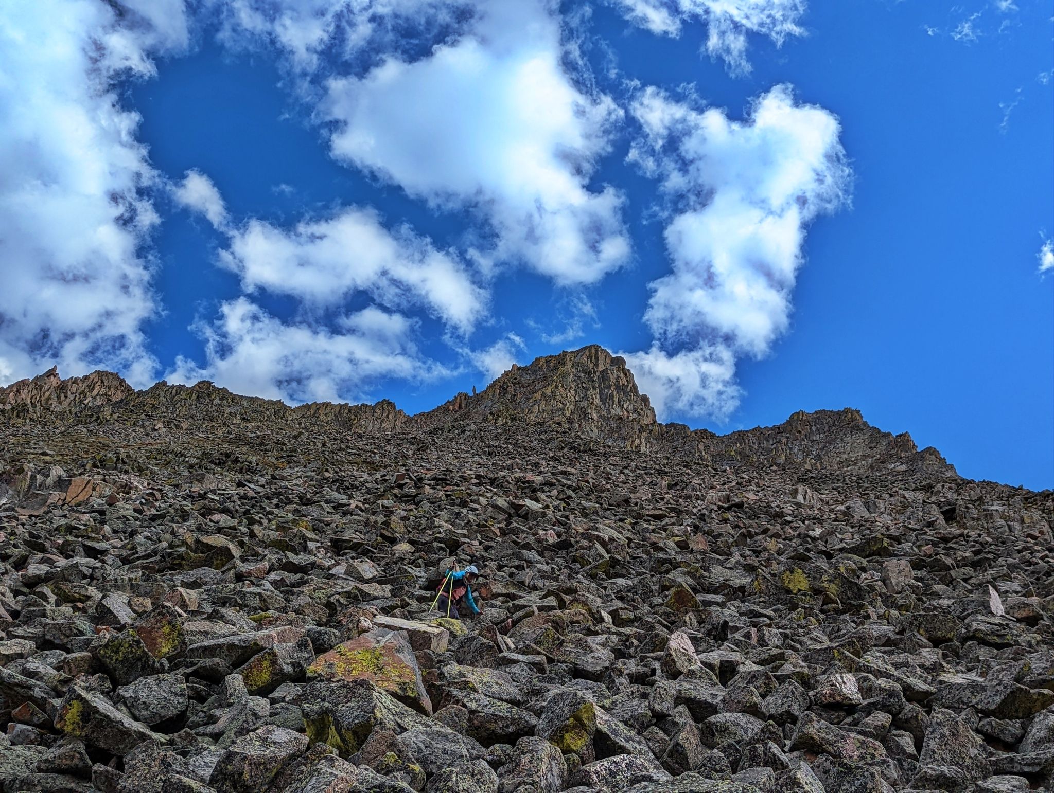
Kristi ascends to the QR saddle
![RST 13]()
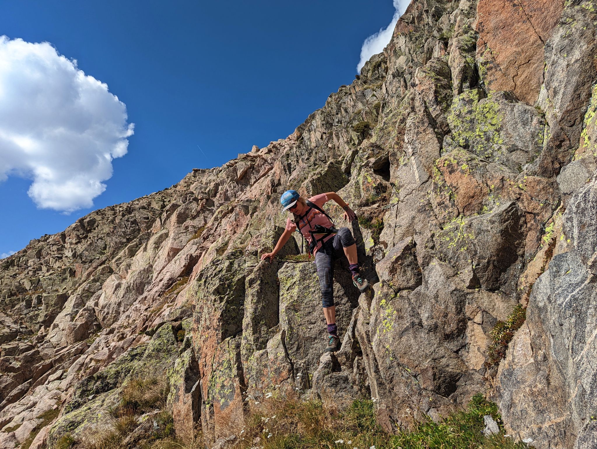
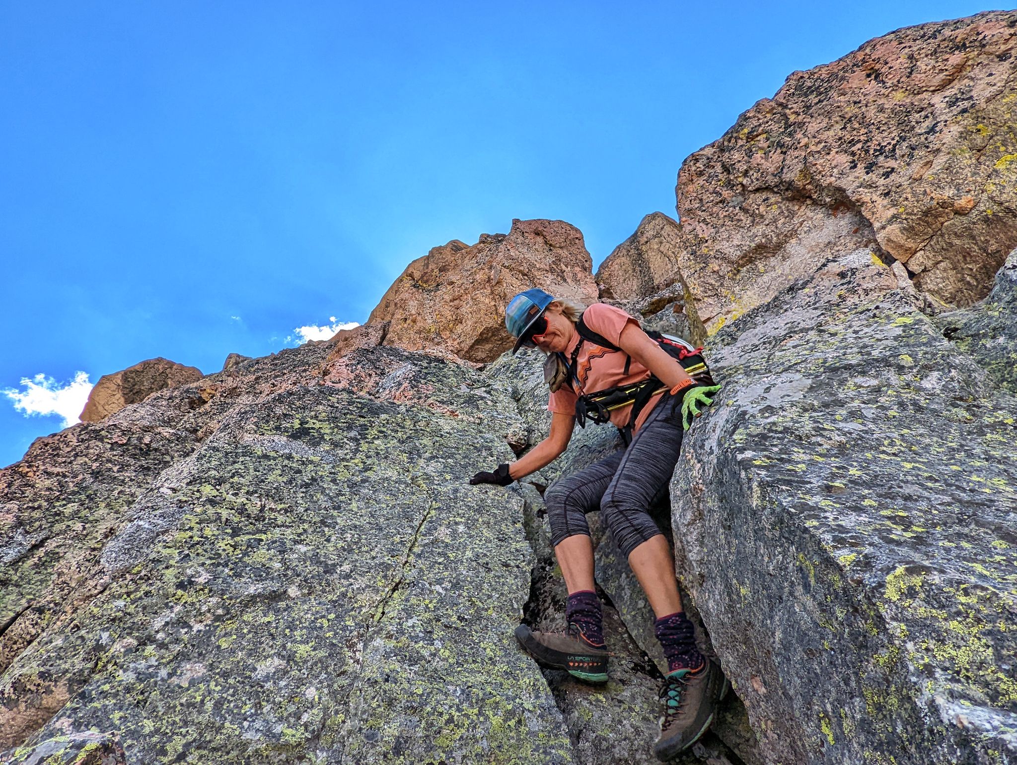
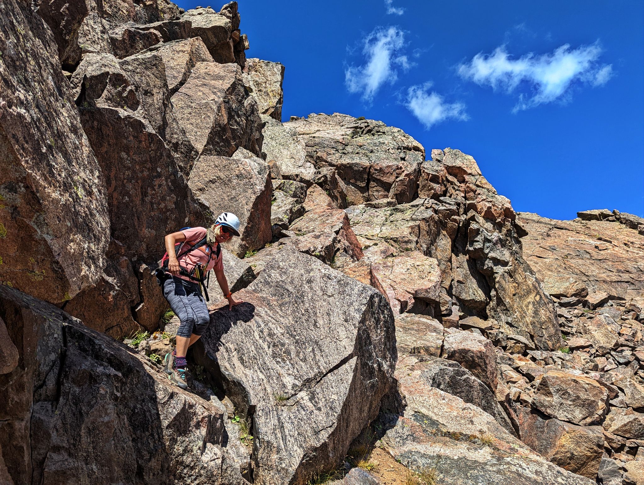
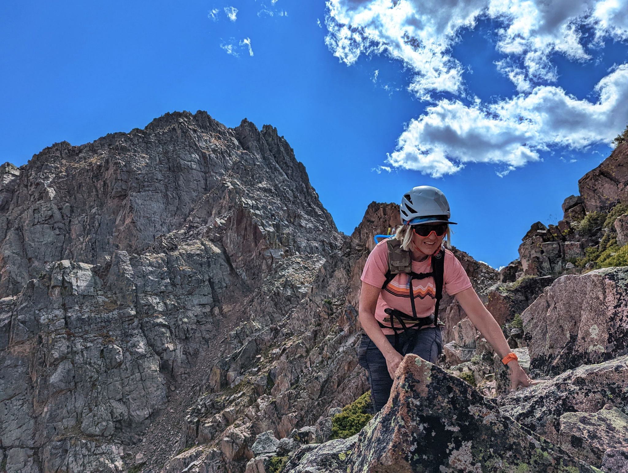
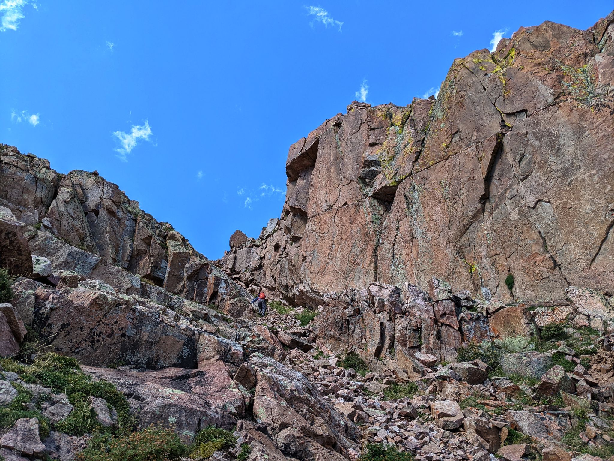
Kristi climbs 2+ terrain in a gully on the west side of Peak R's north ridge
![RST 14]()
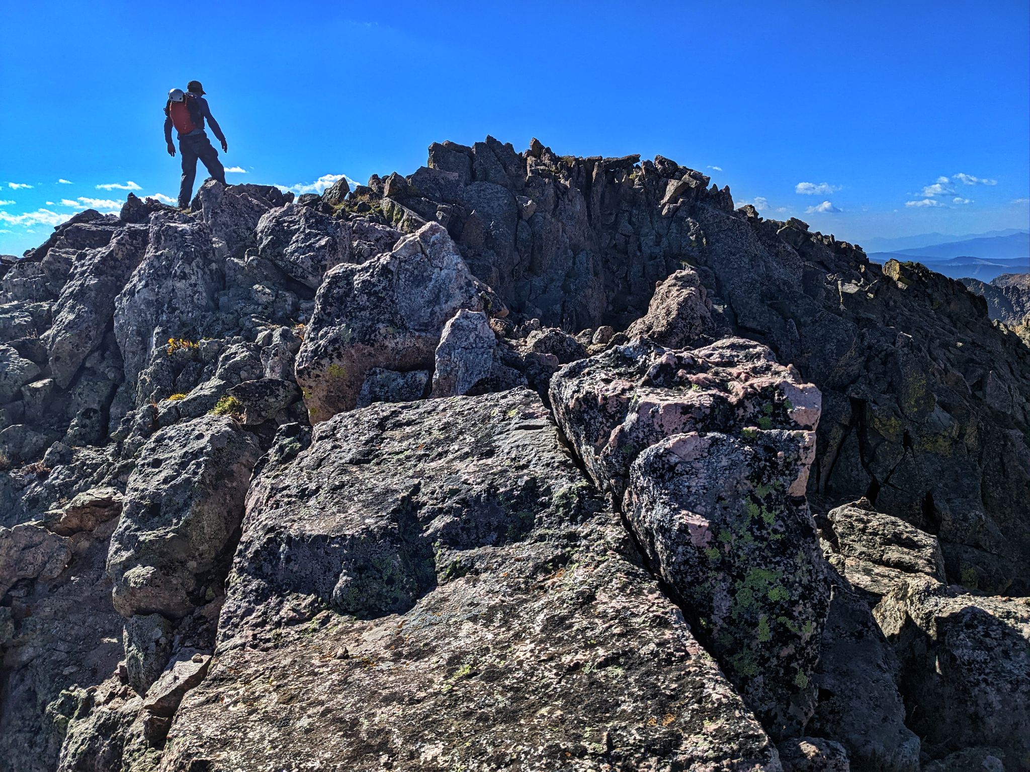
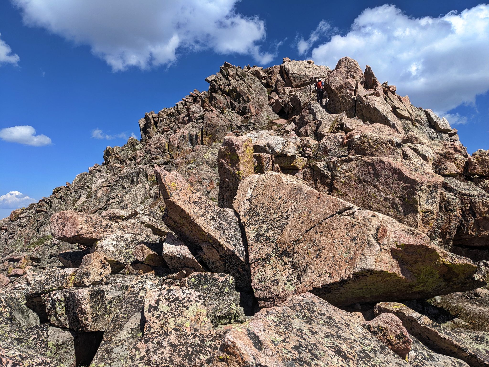
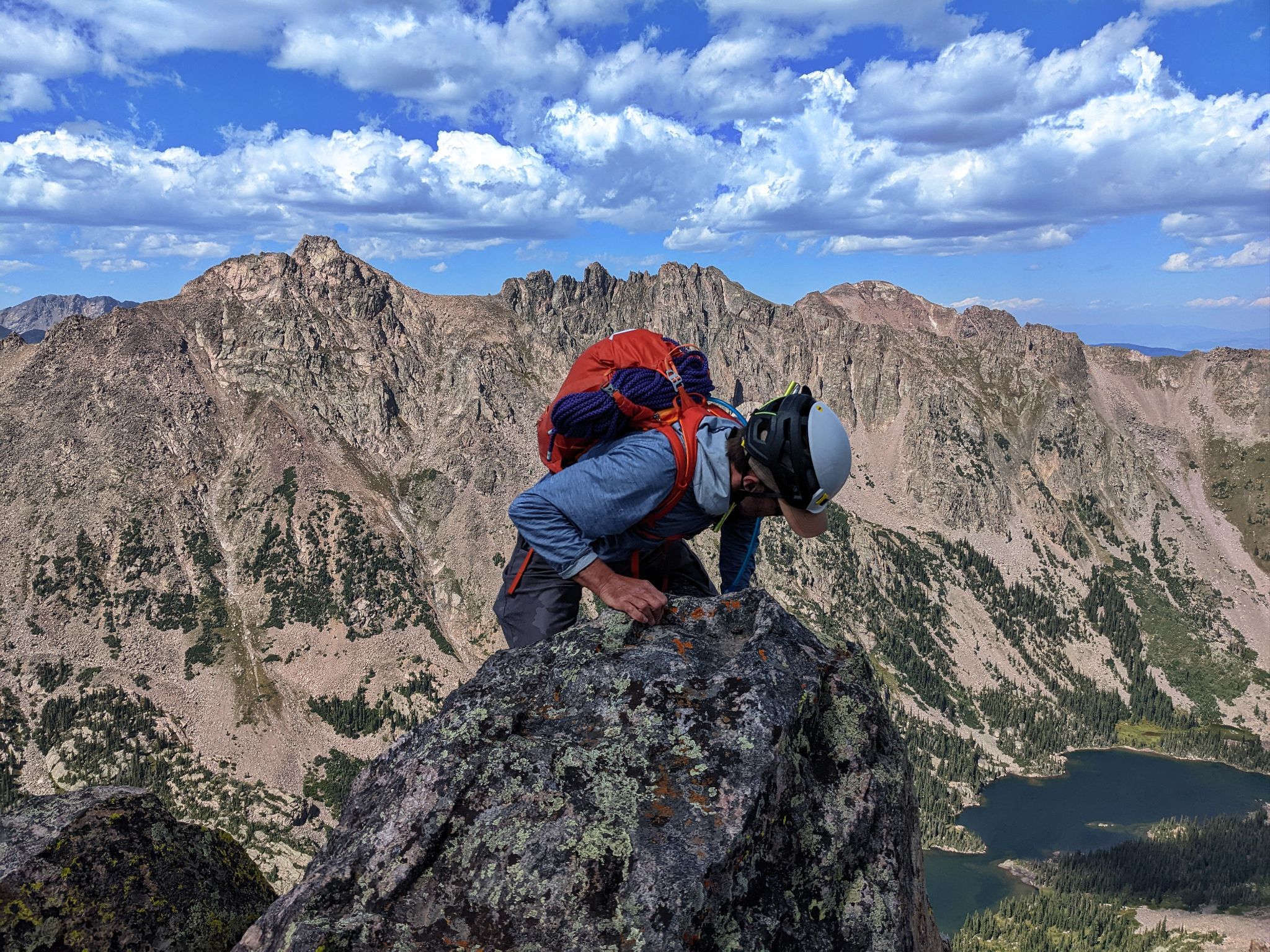
Approaching R's summit
![RST 15]()
Peak Q from Peak R
![RST 16]()
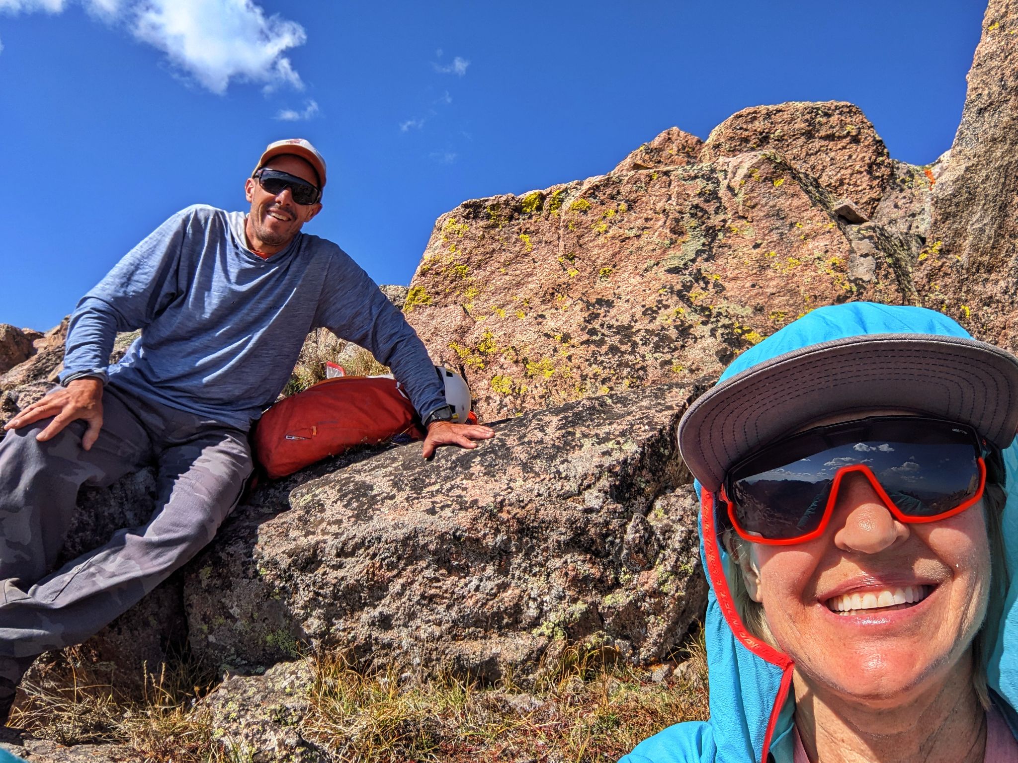
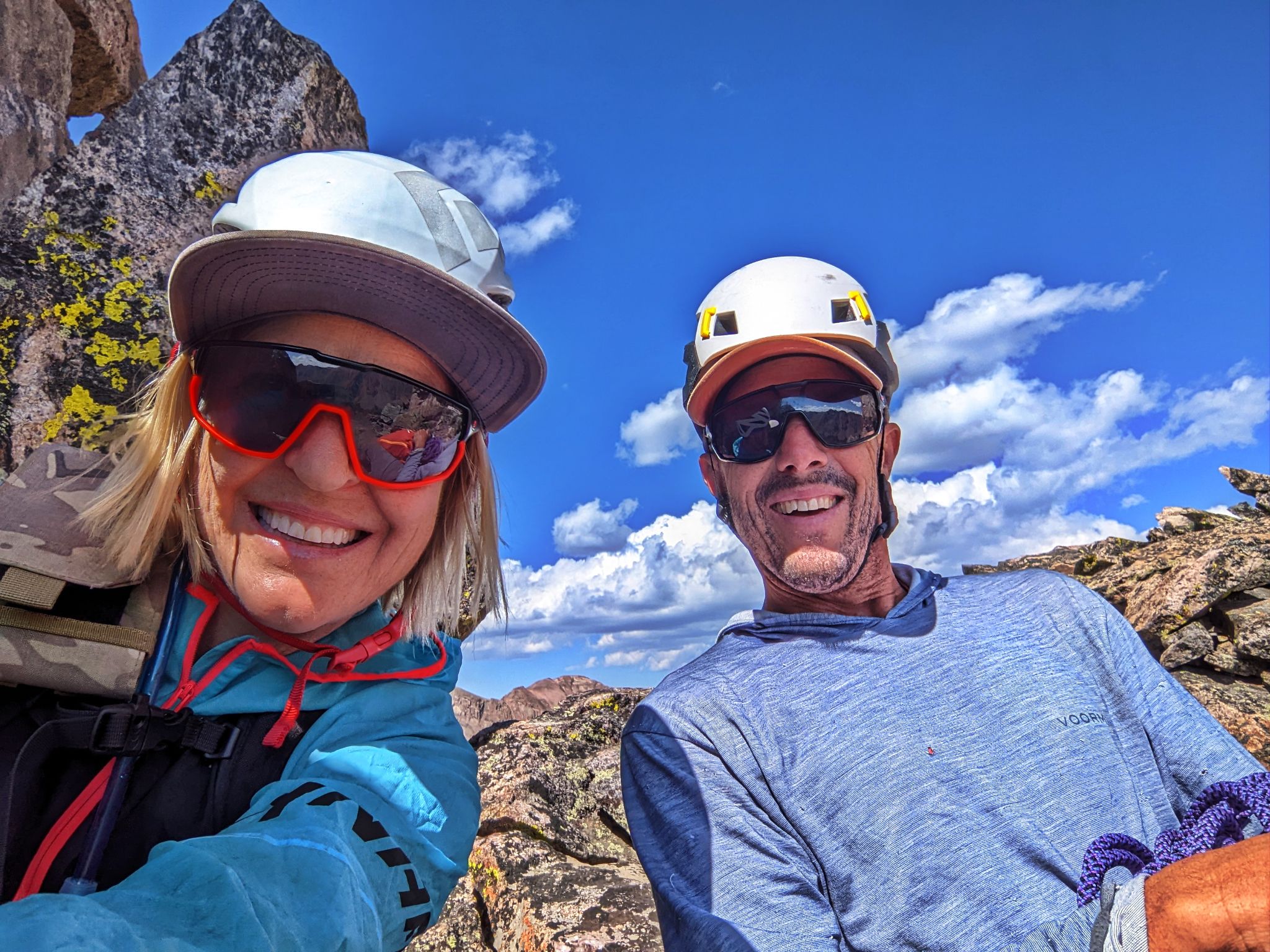
Peak R summit selfie. I had to make a call to Joel.R as he called me from this summit a year before!
![RST 17]()
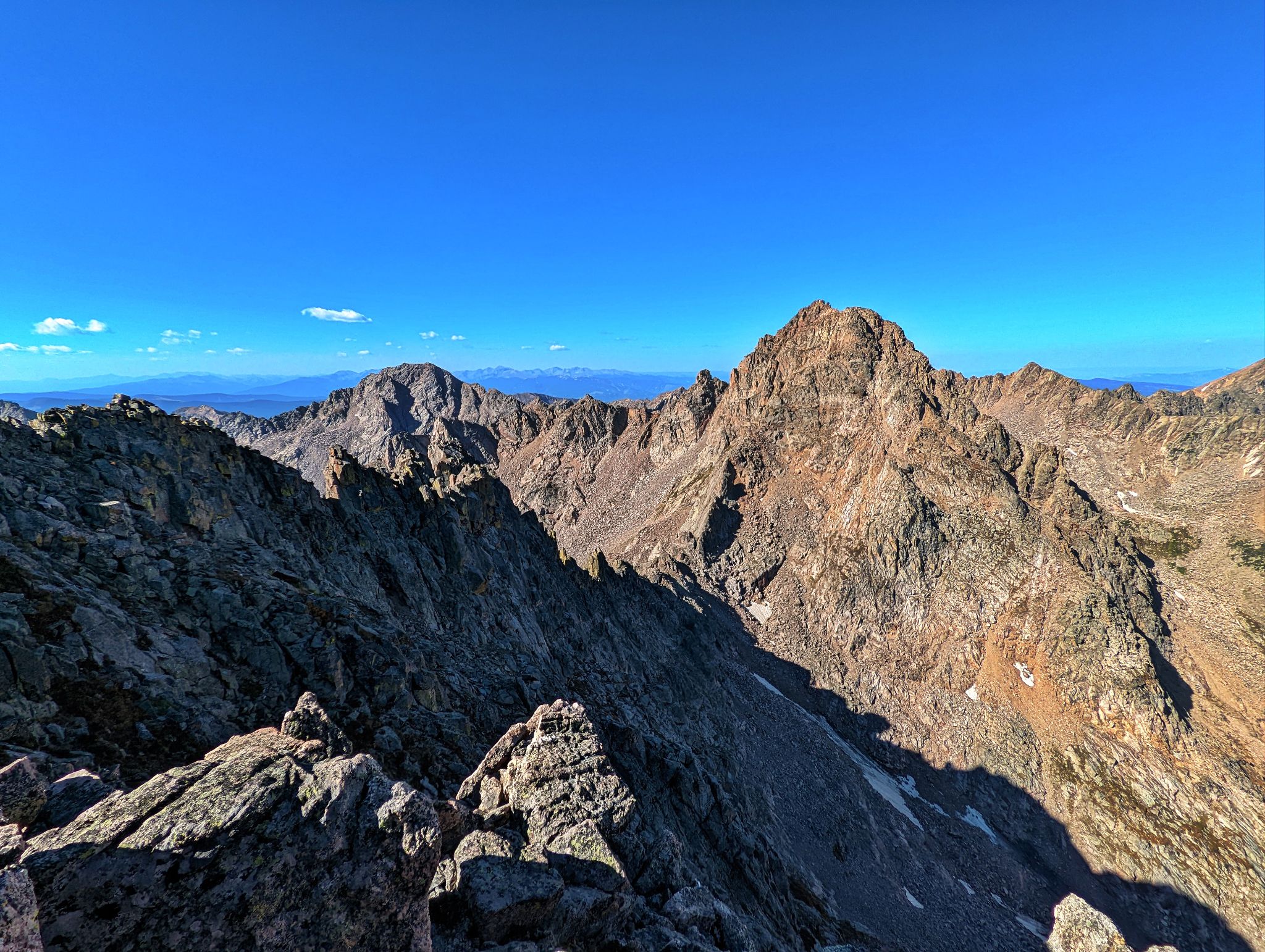
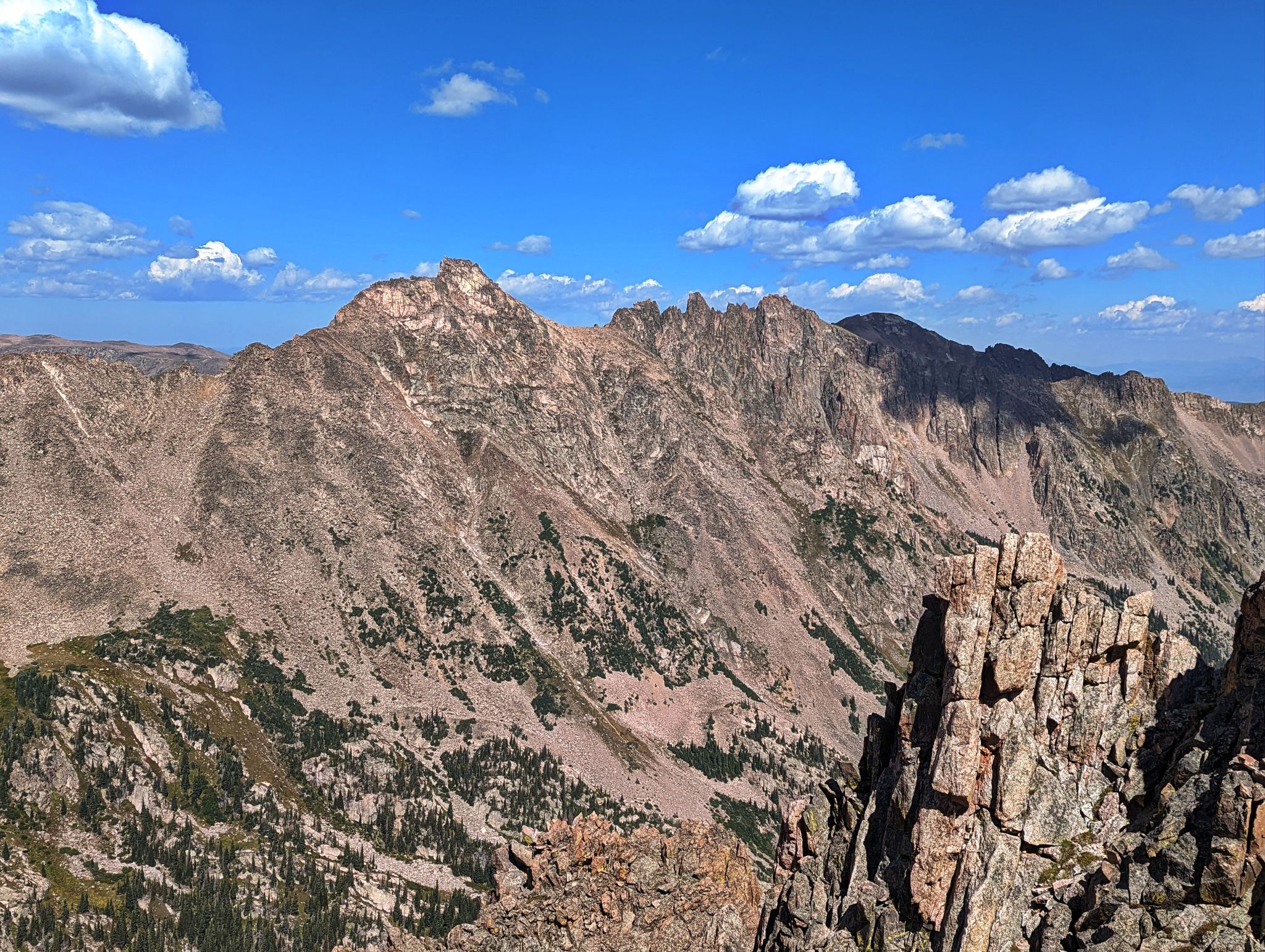
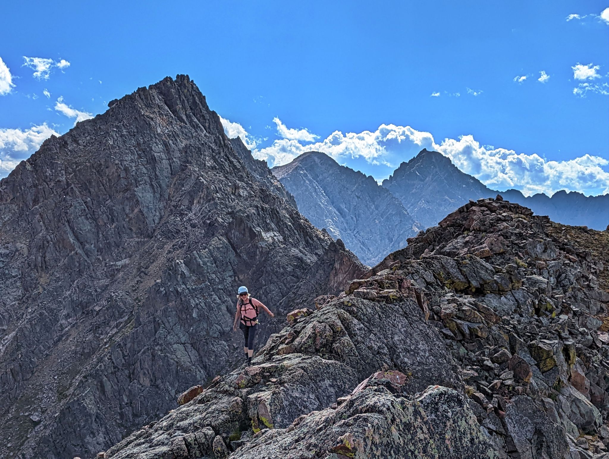
Heading north east from R. Peaks S, T and T prime all in view
![RST 18]()
Peak L (The Necklace) and the Gore Thumb
![RST 19]()
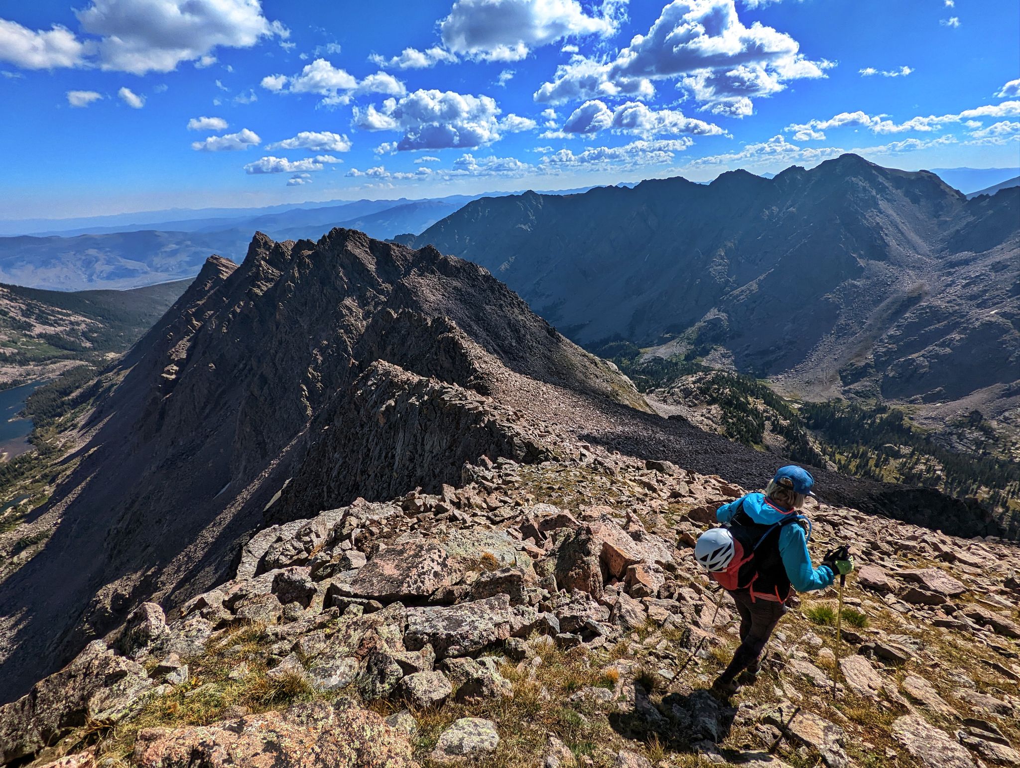
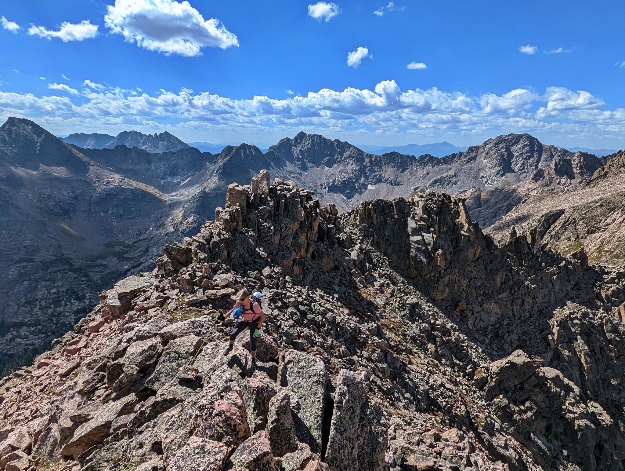
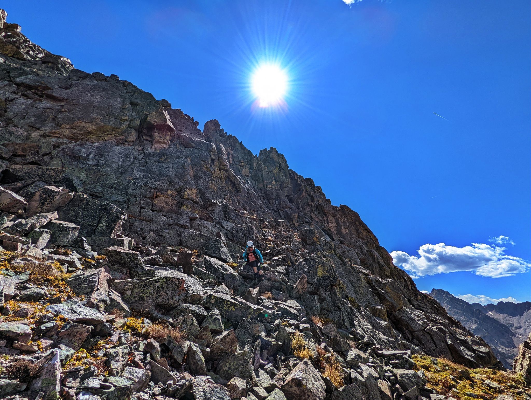
The down climb off of R was class 3/4
![RST 20]()
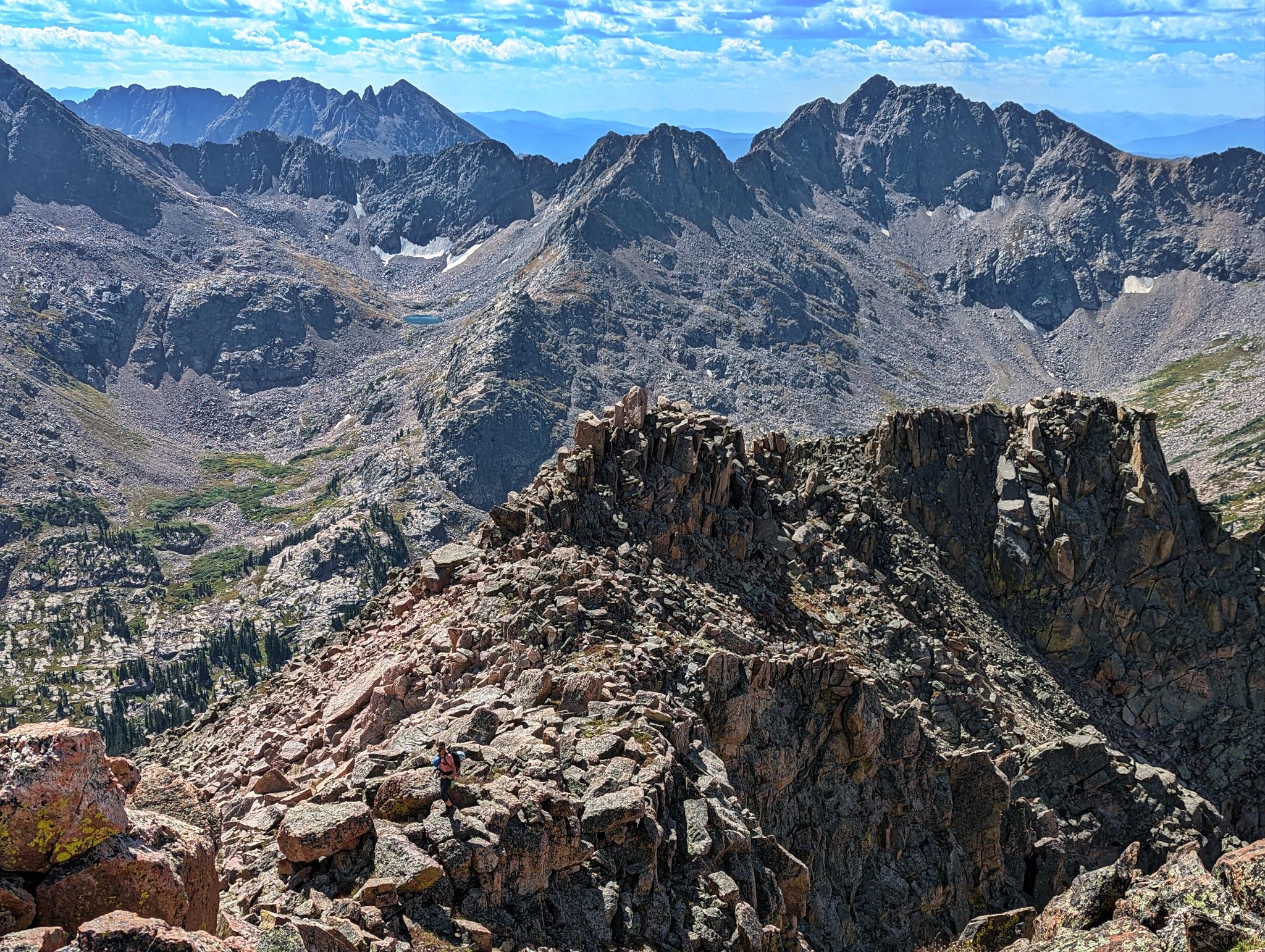
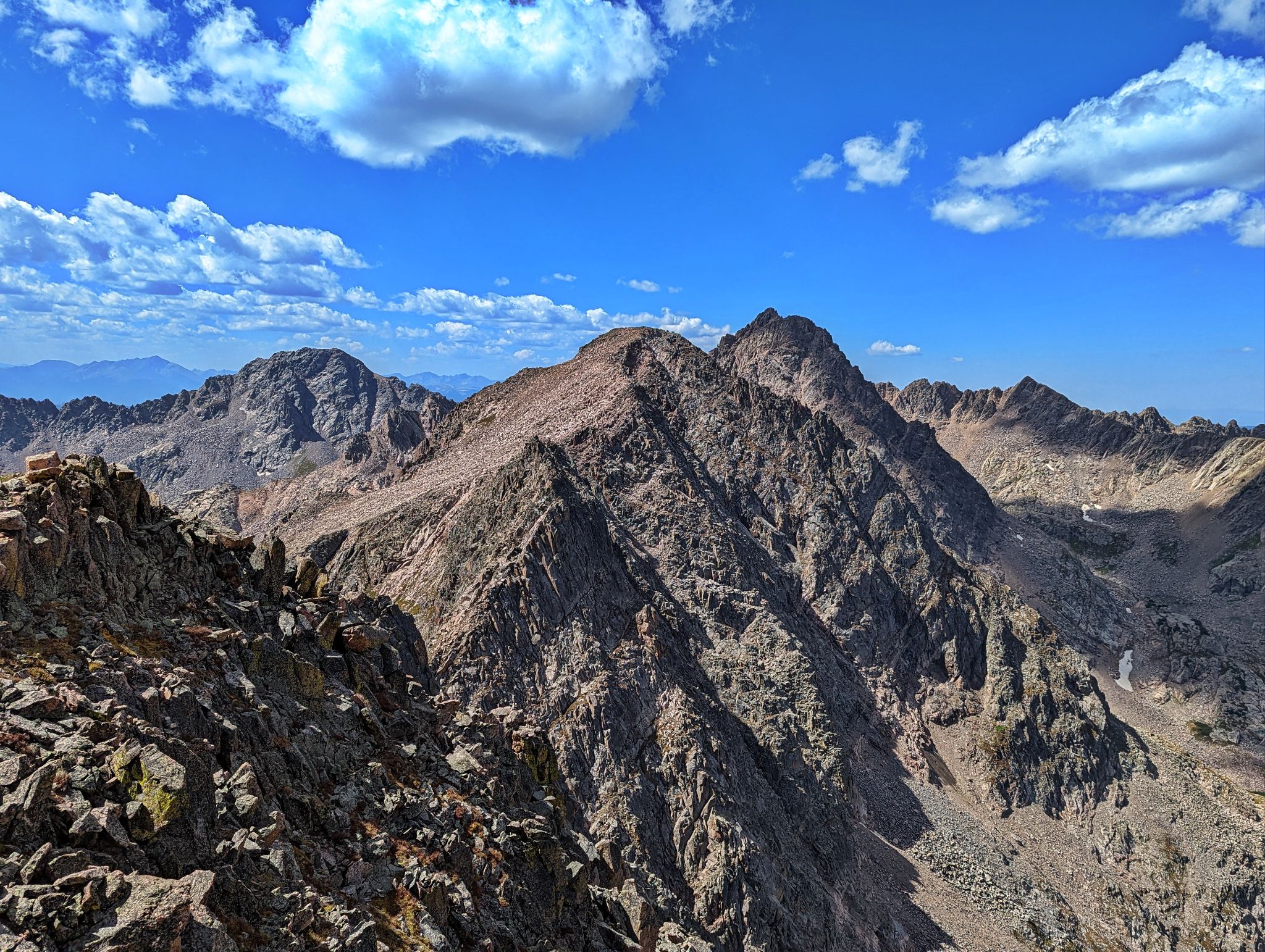
Looking back to Peak R
![RST 21]()
![RST 22]()
Close to Peak S
![RST 23]()
![RST 24]()
En-route to Peak S summit with East Partner and VW ridge behind
![RST 25]()
Peak L and the Thumb
![RST 26]()
![RST 27]()
Looking back to Peak R from Peak S
![RST 28]()
Next stop Peak T. Upper Slate Lake below
![RST 29]()
![RST 30]()
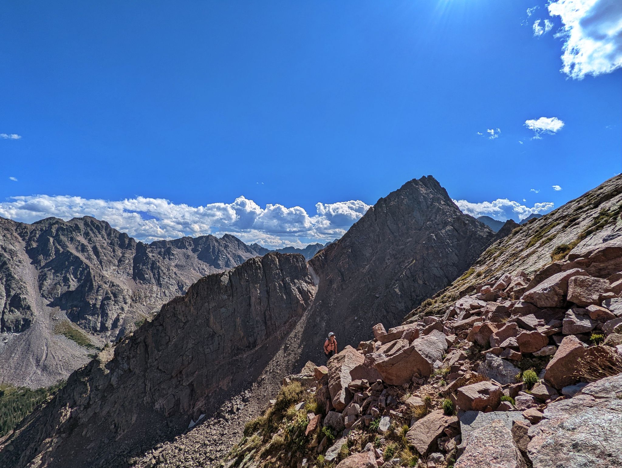
Making our way to Peak T. Peak S behind
![RST 31]()
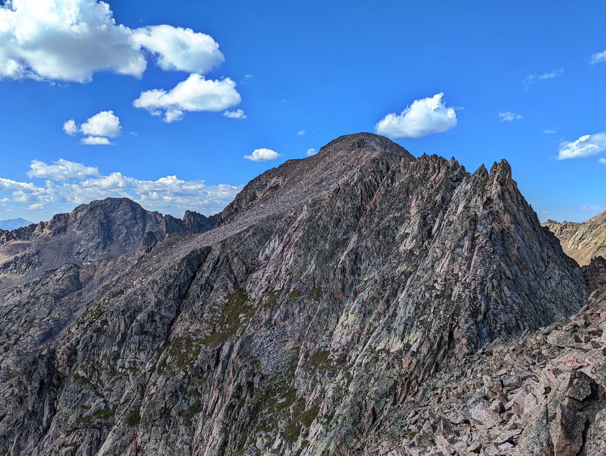
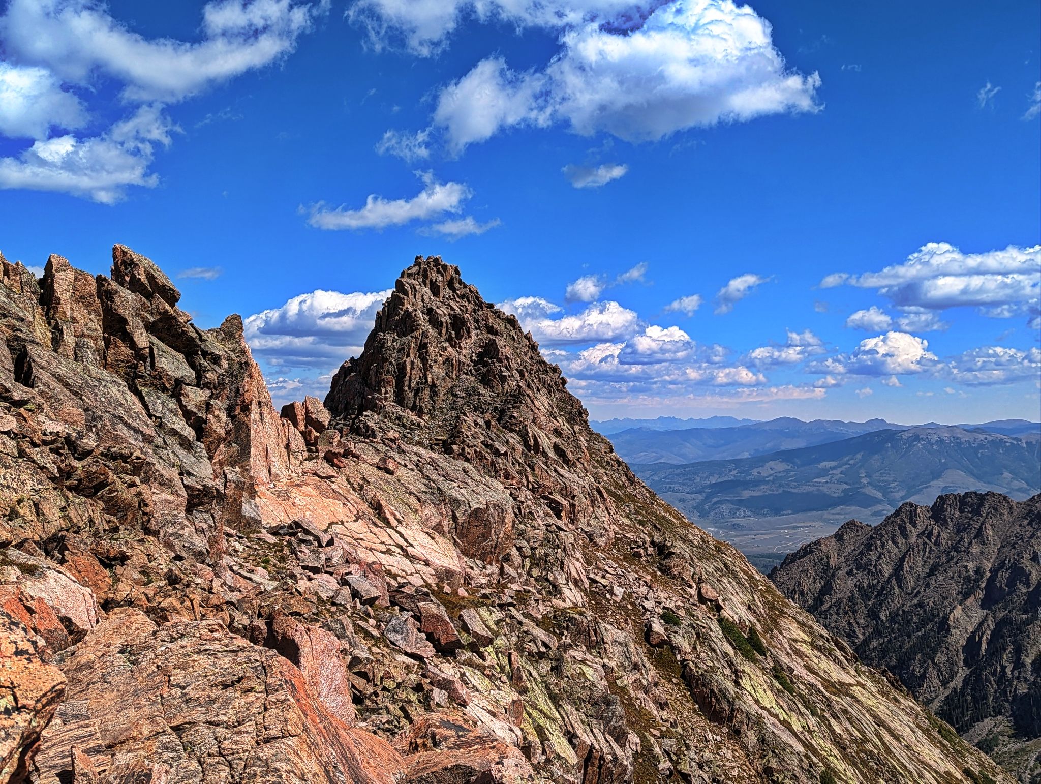
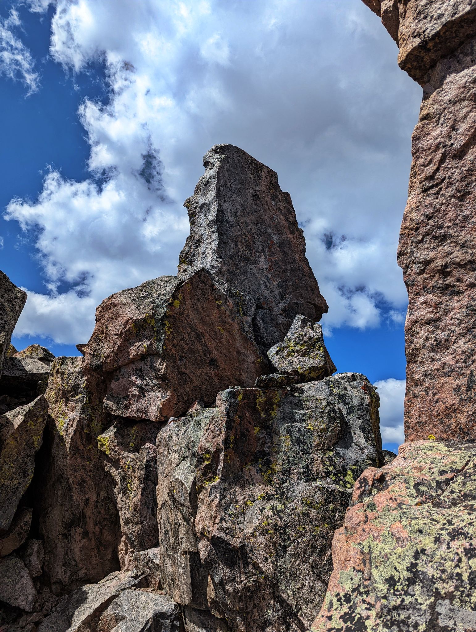
Peak T
![RST 32]()
![RST 33]()
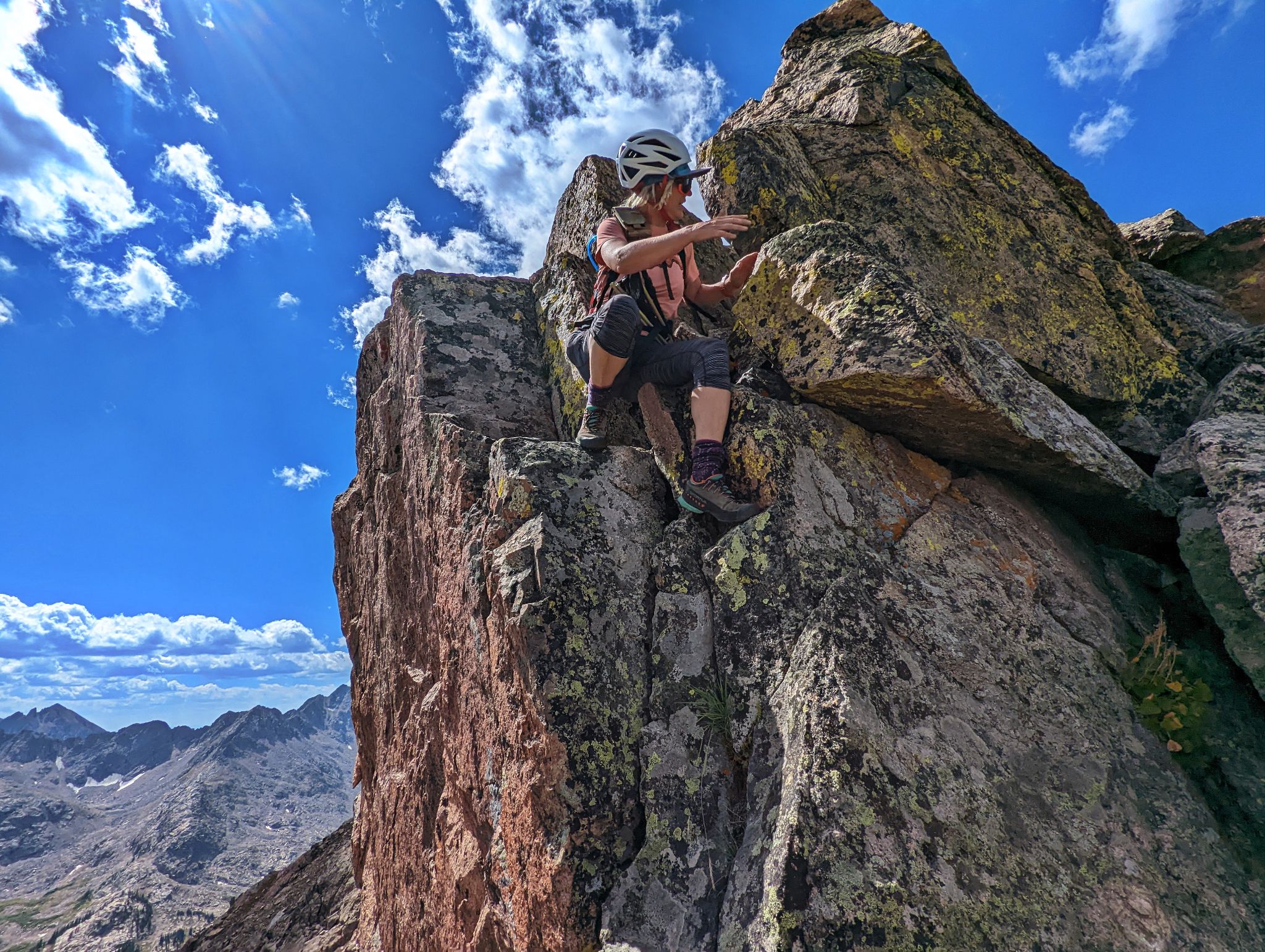
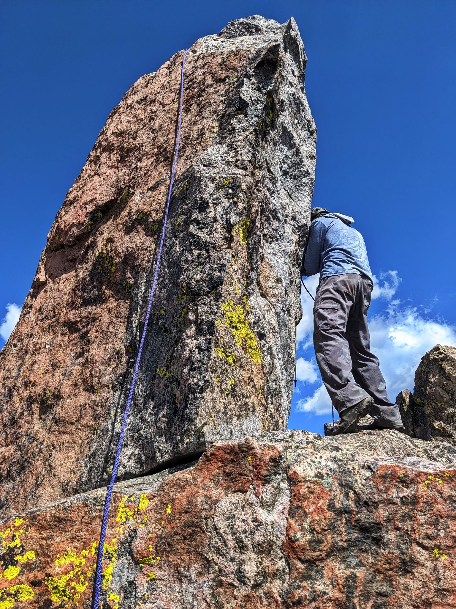
Climb to the base of Peak T's summit block on the right. Belay from the mini fridge sized boulder.
![RST 34]()
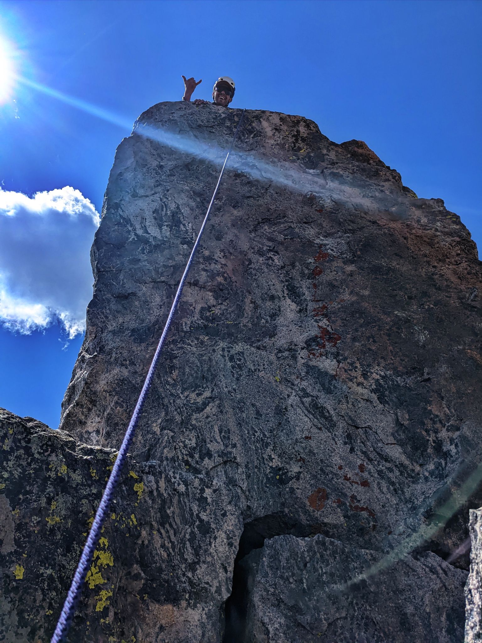
Attach an old biner to the end of the rope and toss it from the climbing side to the belay side. Climb this 5.5 corner of the rock to the summit
![RST 35]()
The climb was easy but we were happy for the rope as it was tough to see feet on descent
![RST 36]()
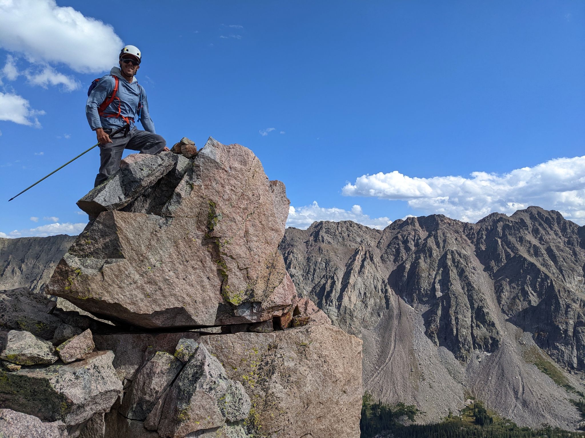
Good times on Peak T's summit
![RST 37]()
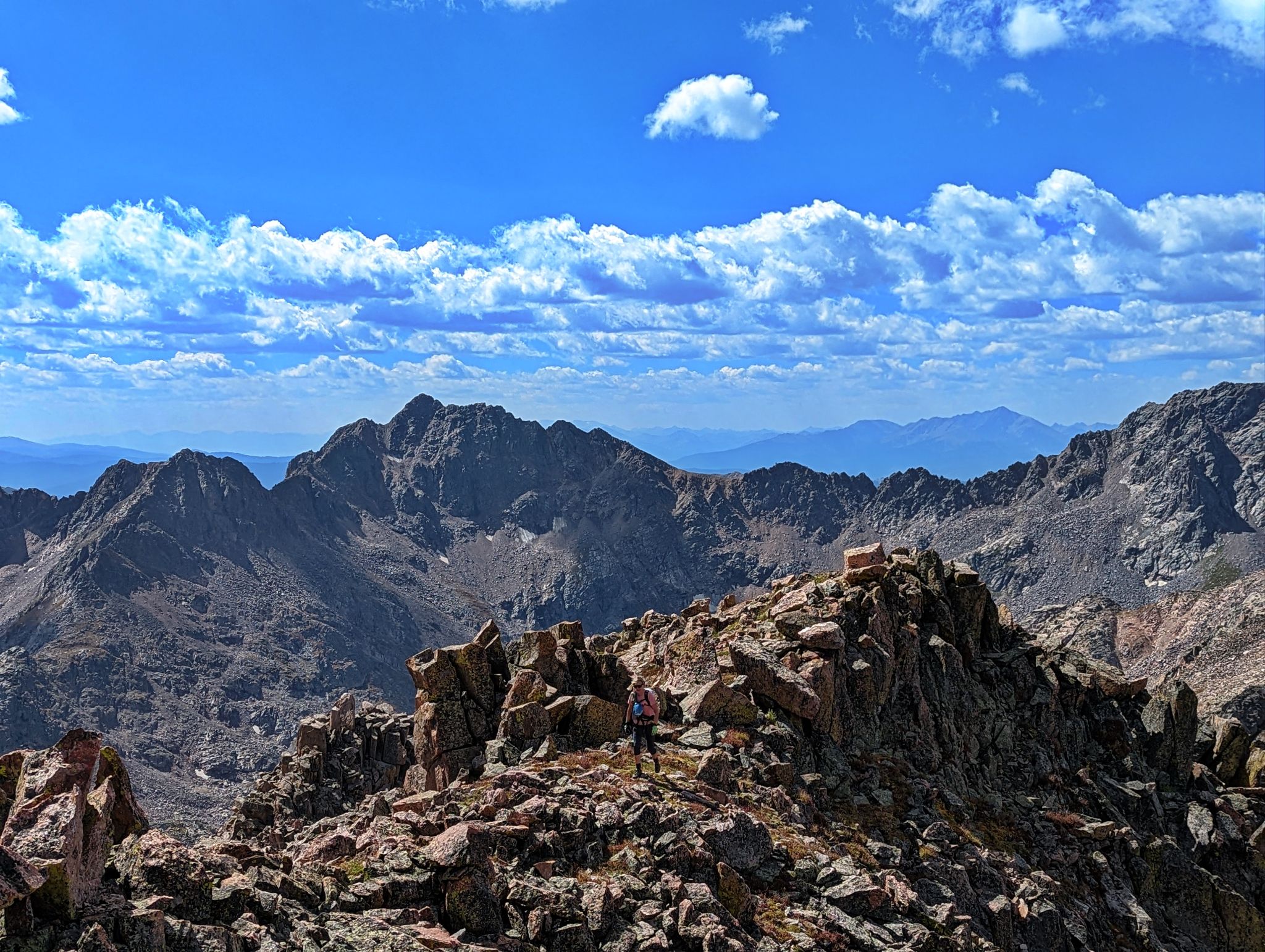
Peak T's north ridge. Peak L, Gore Thumb and Peak O across the way. Upper Slate Lake below
![RST 38]()
Next stop T prime
![RST 39]()
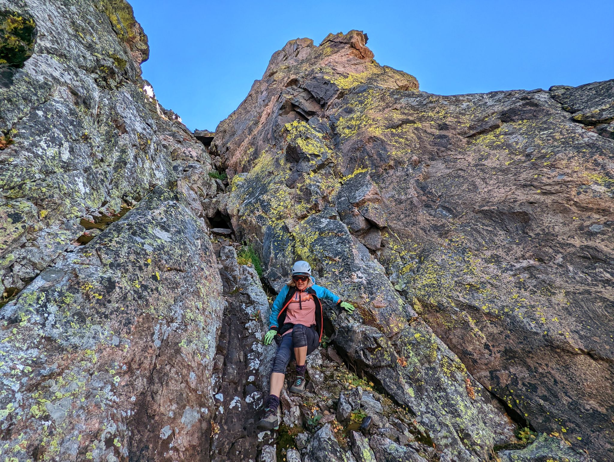
Spicy down climbing to the T - Tp saddle
![RST 40]()
![RST 41]()
En-route to T Prime. Peak T behind
![RST 42]()
![RST 43]()
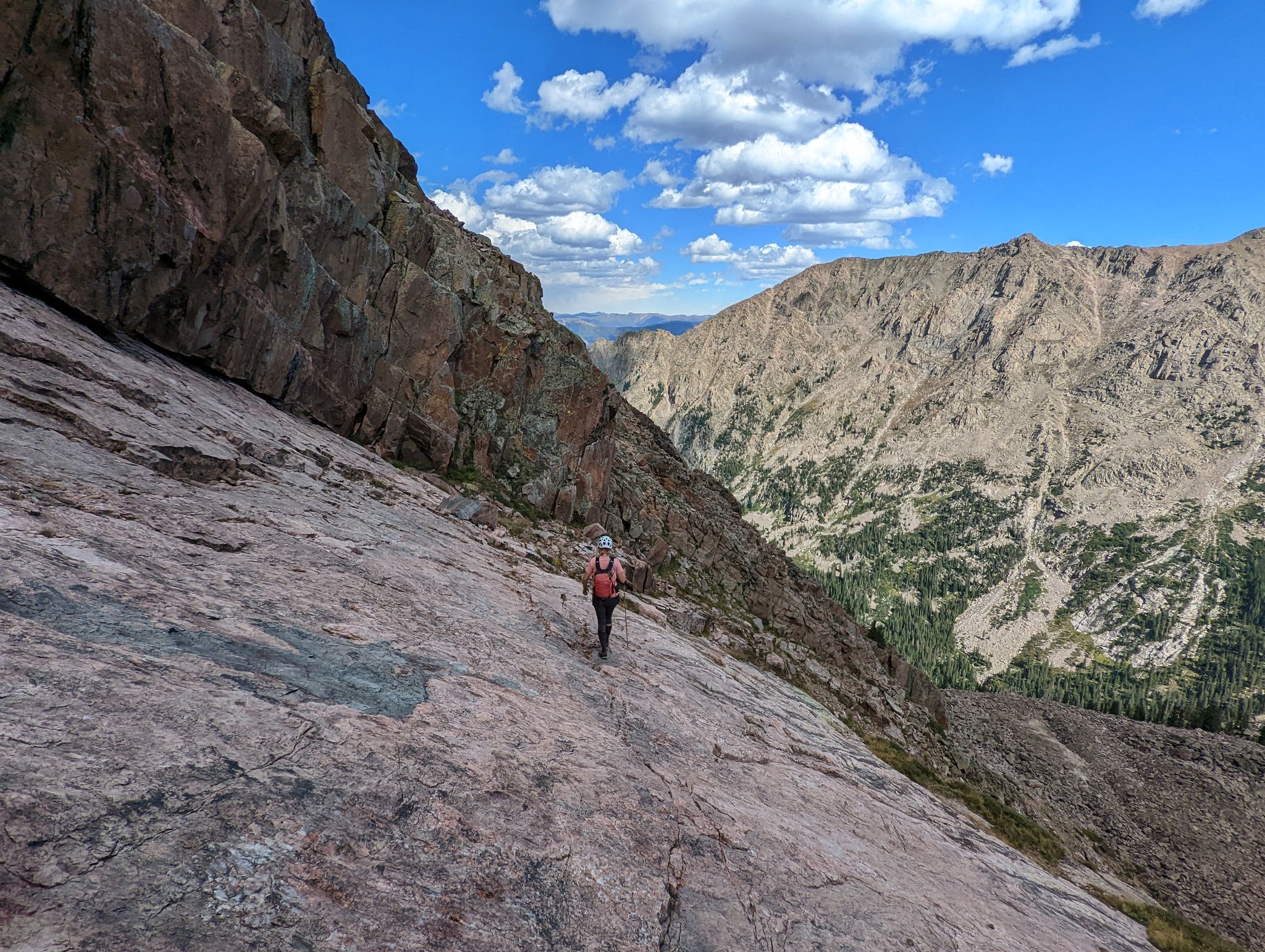
Crossing a cool slab feature on T Prime
![RST 44]()
![RST 45]()
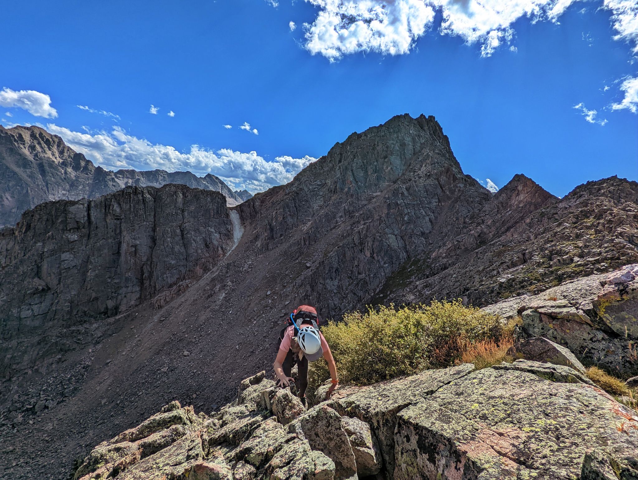
Ascending a gully to T Prime's south ridge
![RST 46]()
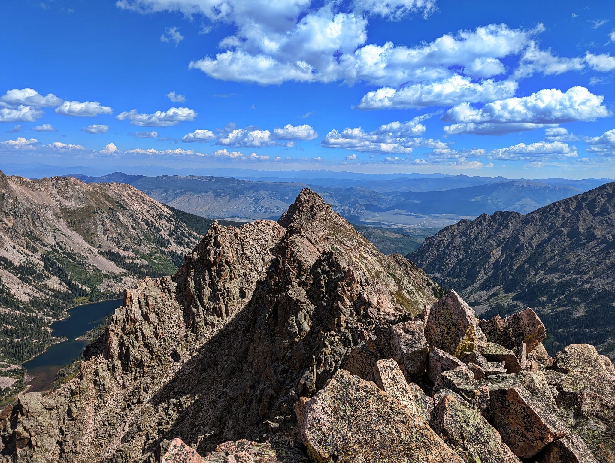
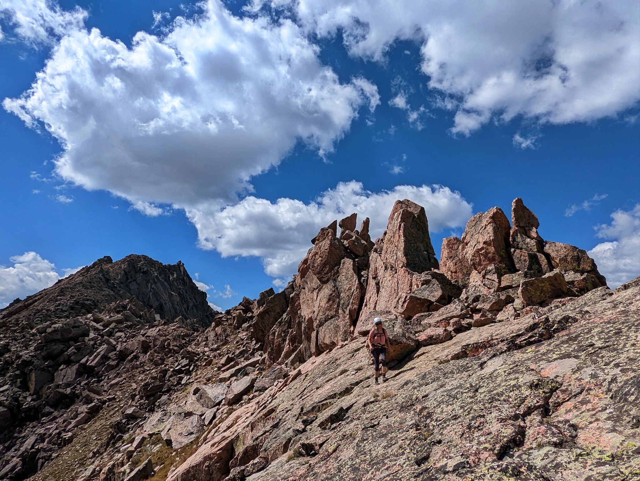
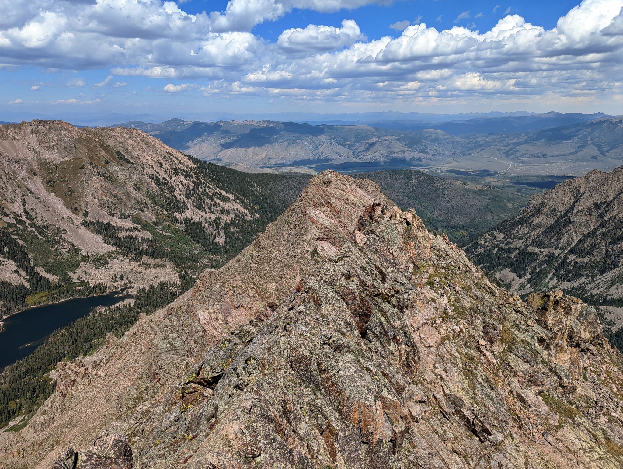
T Prime's south ridge with T, R and Q in the rear-view
![RST 47]()
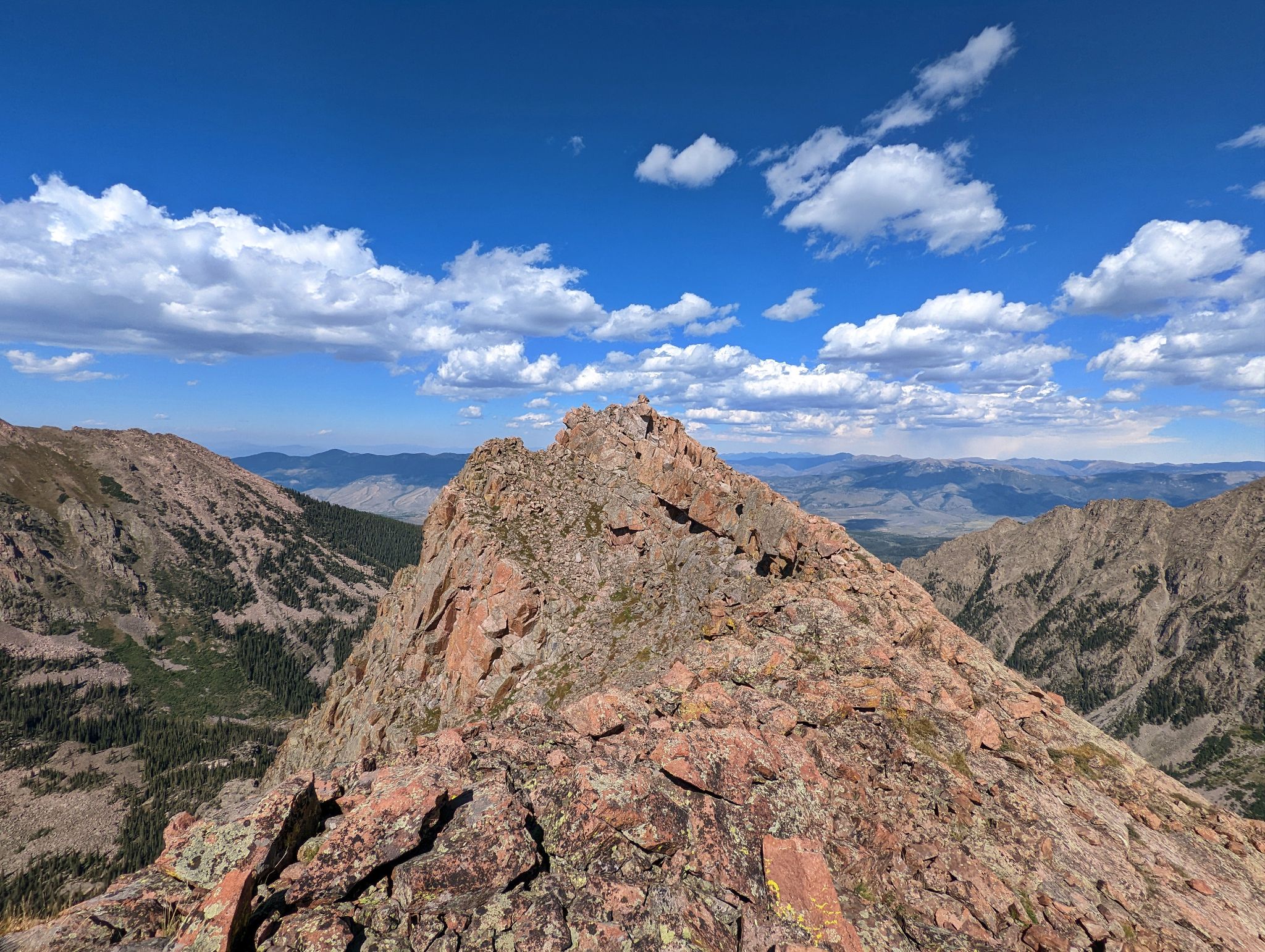
T Prime
![RST 48]()
A fun little block on T Prime's summimt
![RST 49]()
L2R: Peak L, Gore Thumb, Peak O with Upper Slate Lake below
![RST 50]()
Descending T-Prime just northeast of the summit
![RST 51]()
Stable talus below T Prime. In classic eastern Gore fashion we did a short stint of heavy bushwhacking just after this section. It was 5pm when we reached Upper Slate Lake.
![RST 52]()
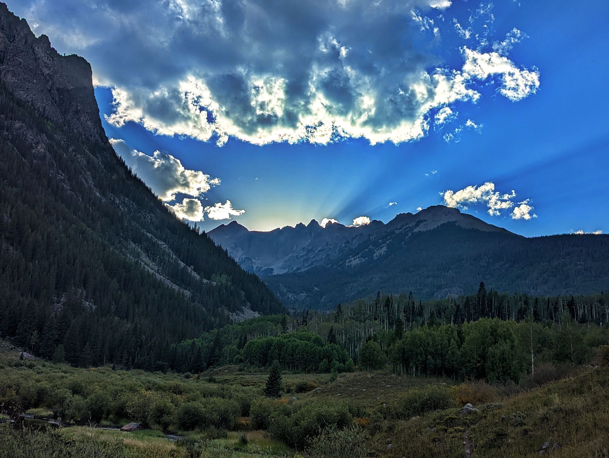
Looking back to Peak L and friends on 11.6m - 1100ft hike back to Harrigan. If you have two 4WD vehicles the Brush Creek TH is about a mile shorter