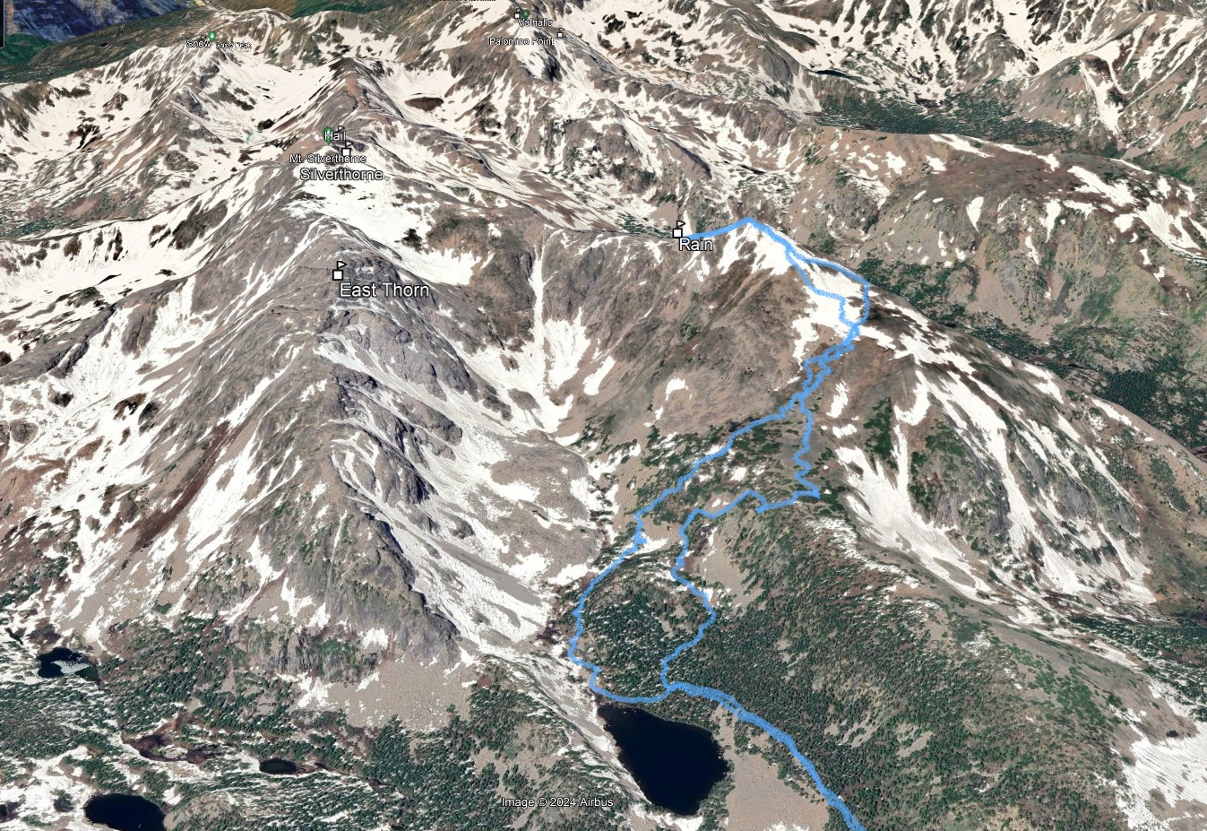
Rain Peak South East Slope
Date: 9/20/2023
Partner: Solo
Trailhead: Willowbrook TH
Distance: 13.25m
Elevation Gain: 4455ft
Duration: 7hrs (ultra chill)
GPX
From town, Rain looks like you could reach out and touch it. But don't be fooled... it is a ways back there. The approach for this hike is on a good trail. The views up high are amazing.
![Rain peak 00]()
13.25m - 4455ft -7hrs (ultra chill)
![Rain peak 01]()
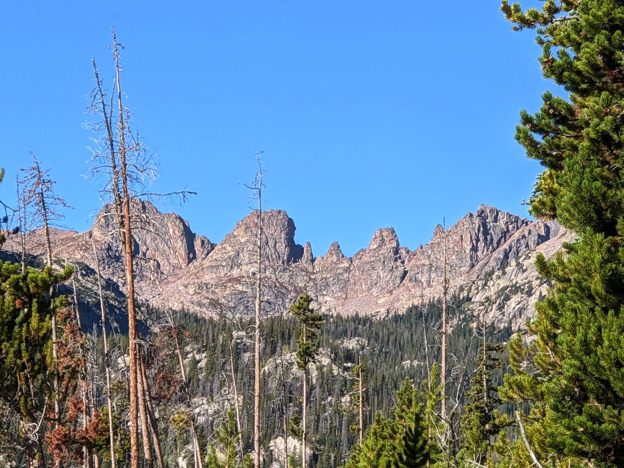
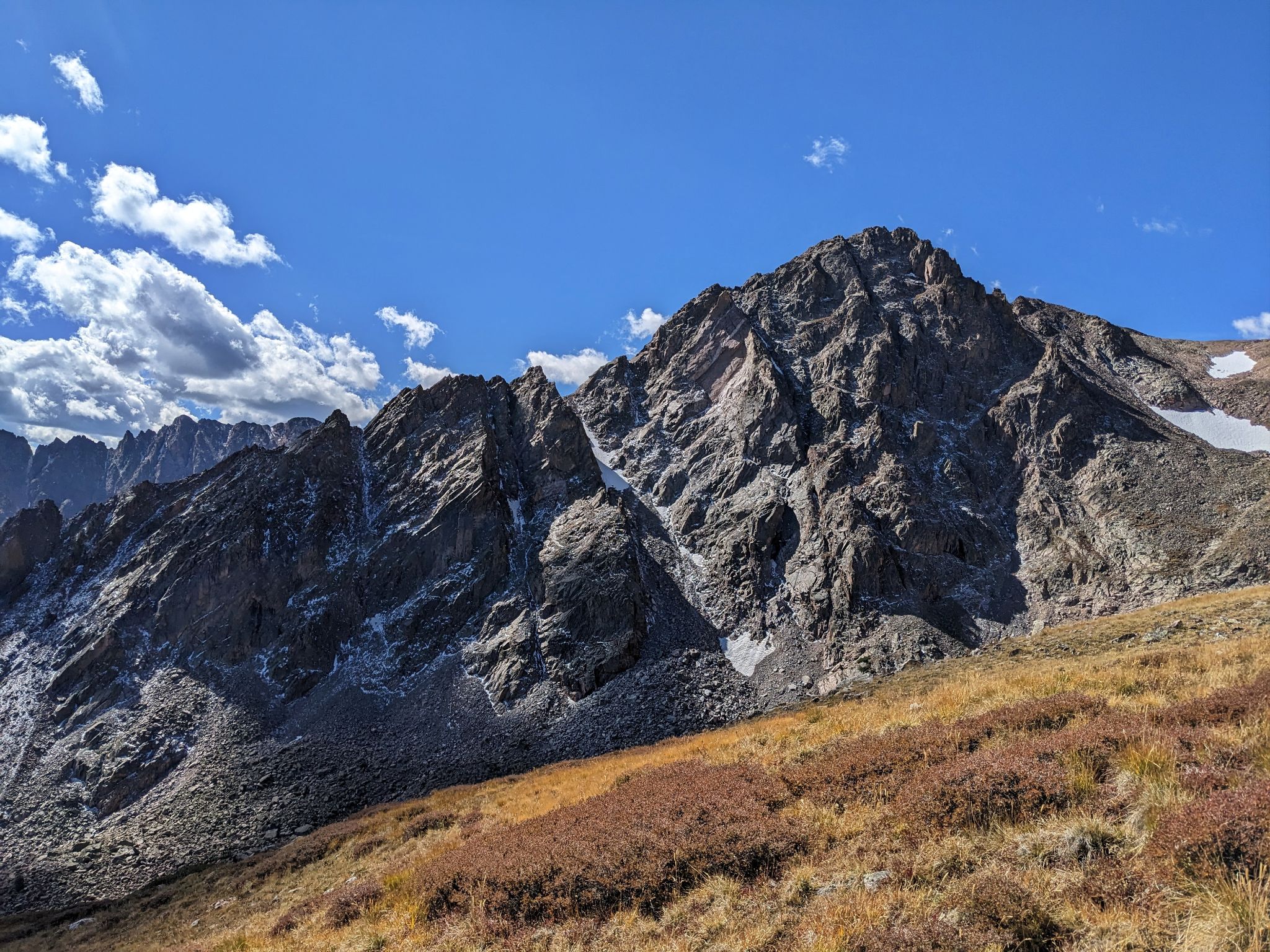
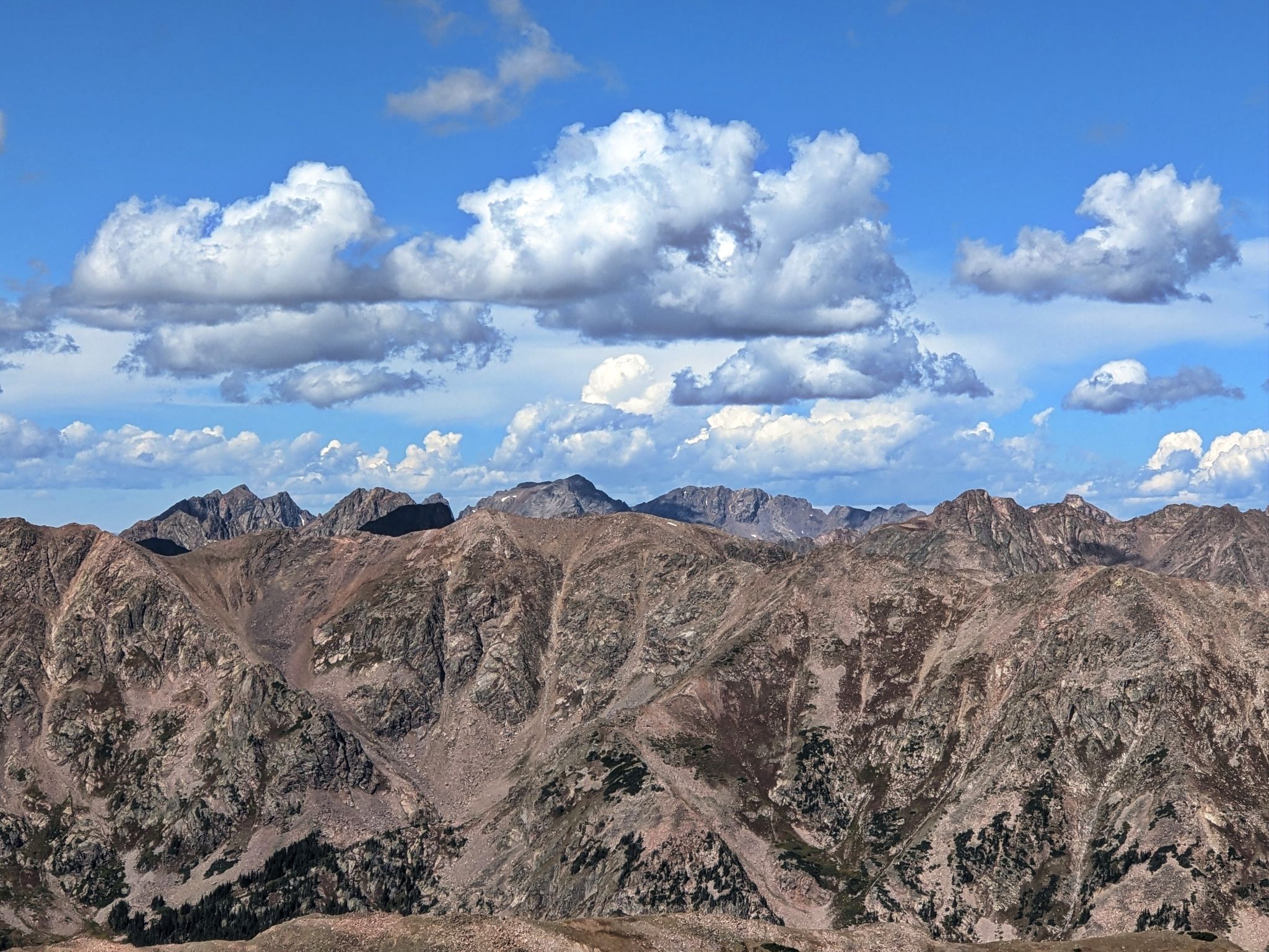
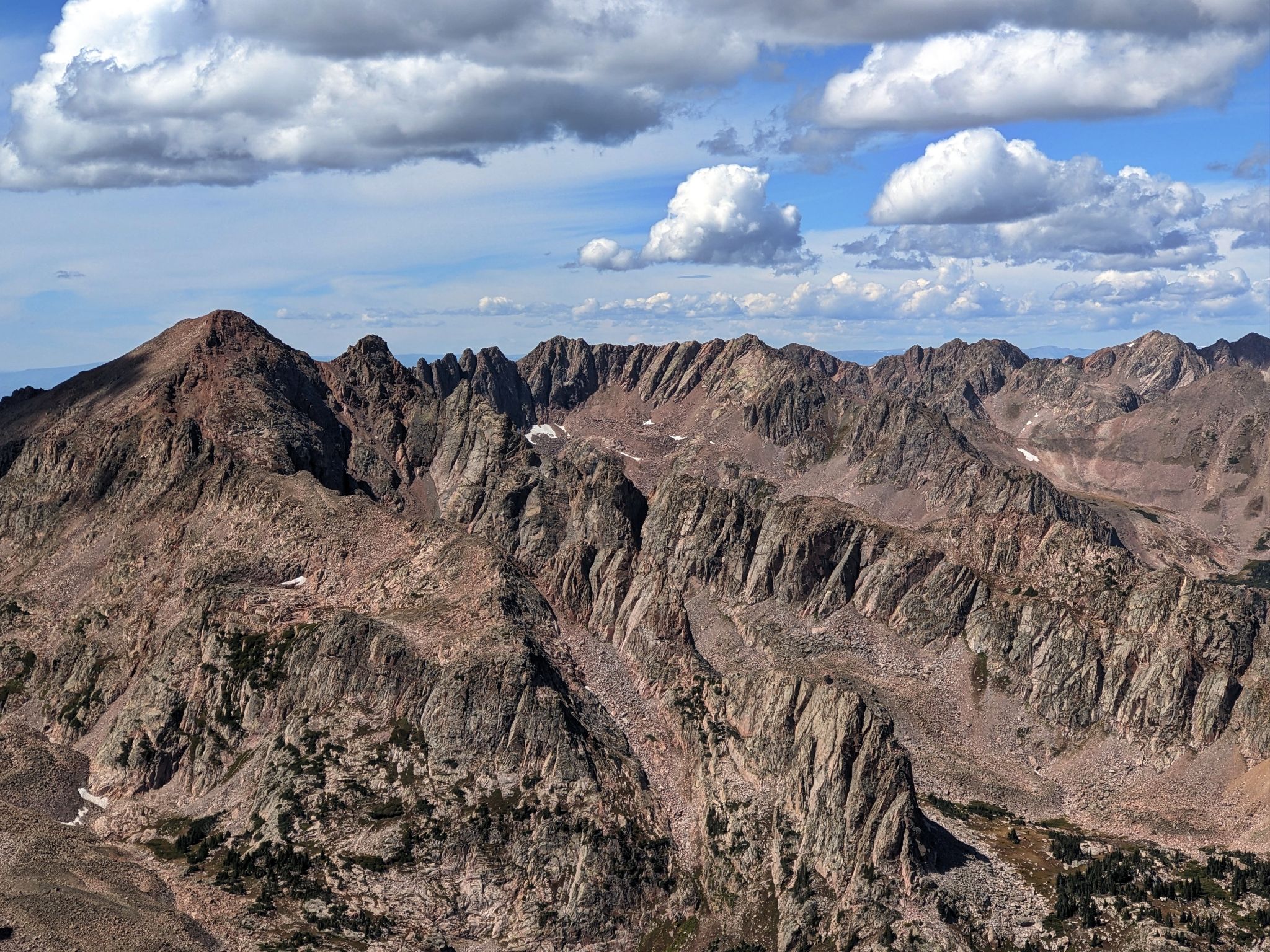
The classic Zodiac Ridge between Red and Silverthorn on approach
![Rain peak 02]()
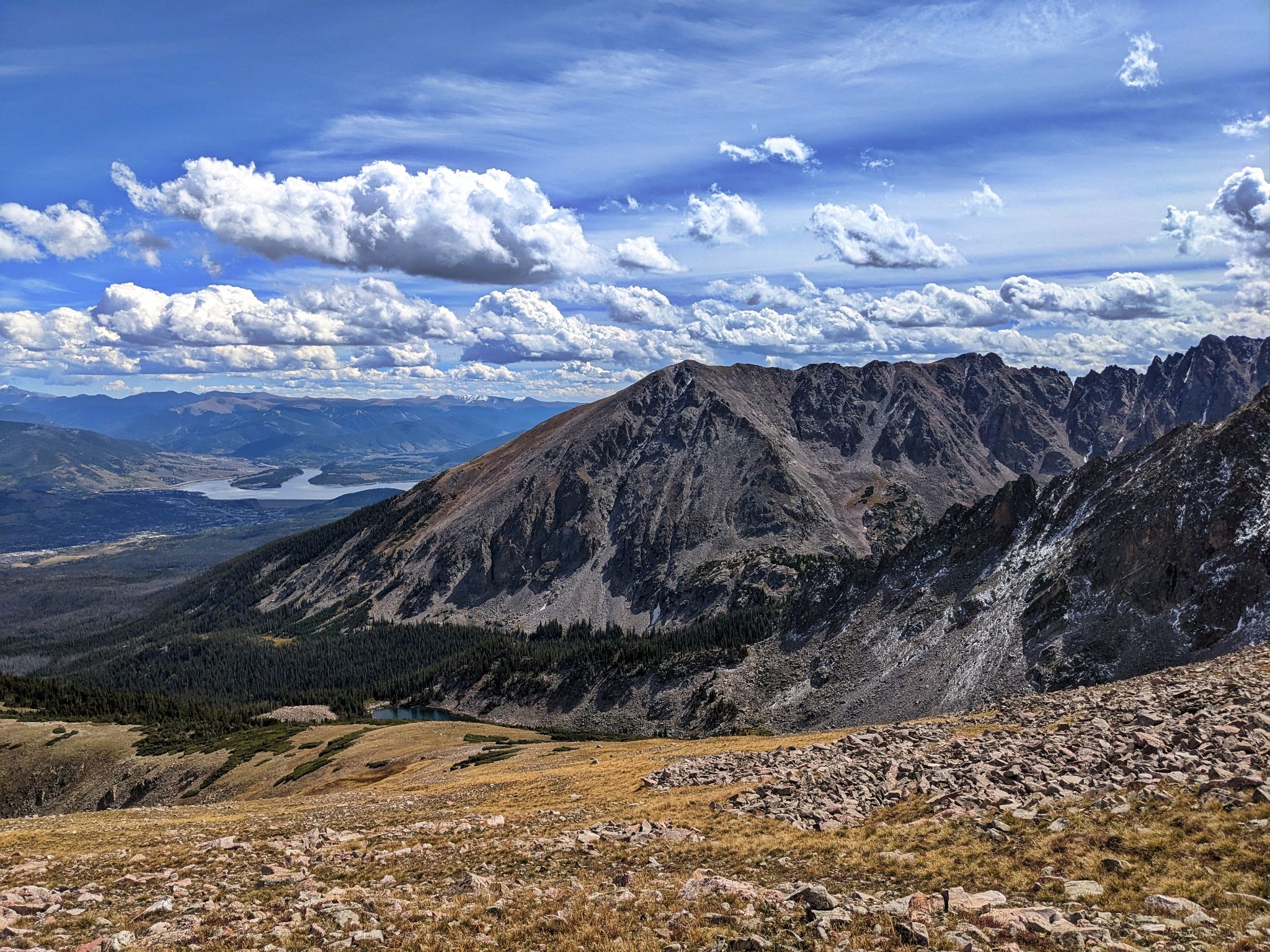
Red's eastern summit 'Pink' and Big Eyes Couloir to the south
![Rain peak 03]()
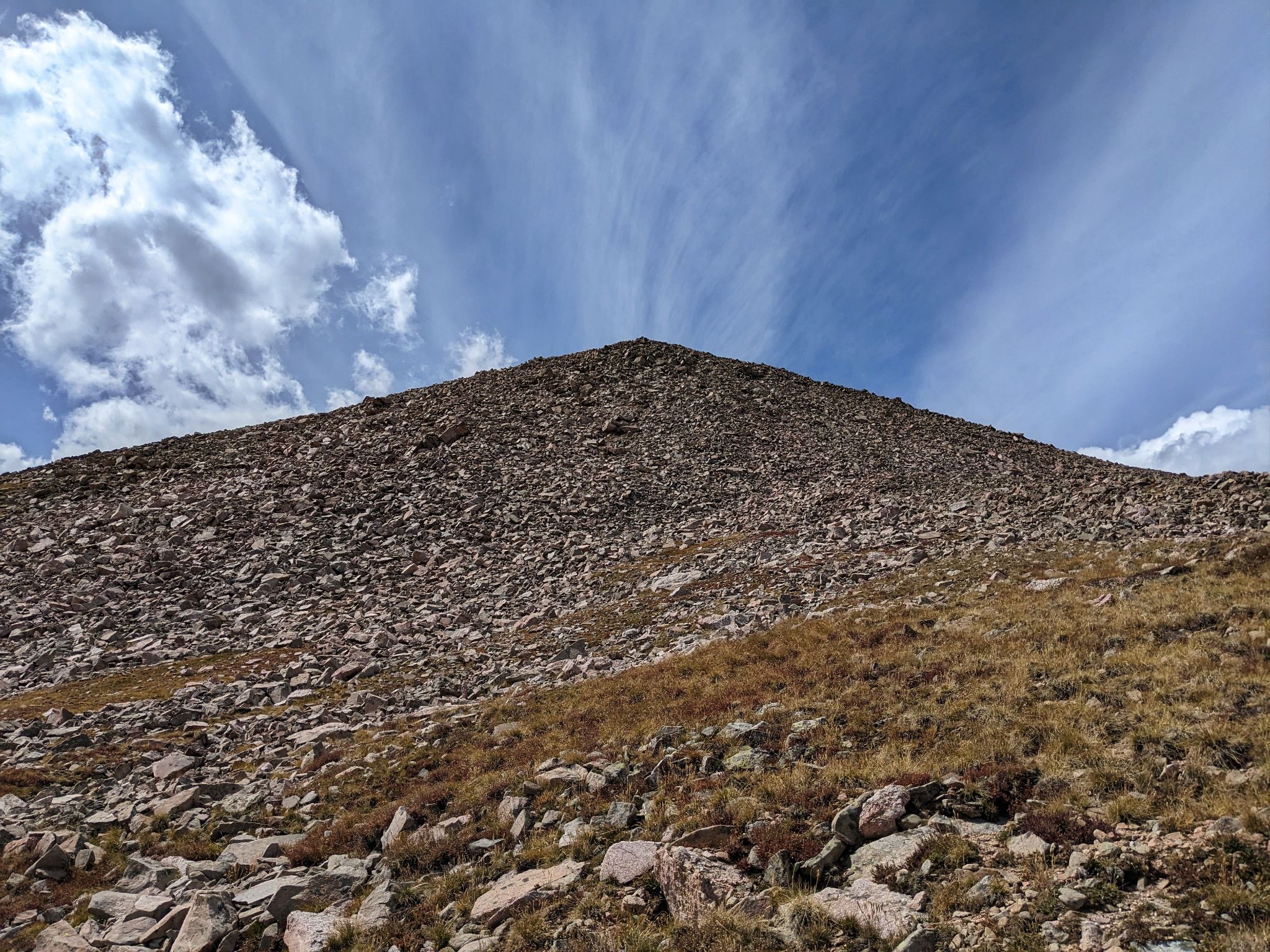
From the lake I ascended a bit of this
![Rain peak 04]()
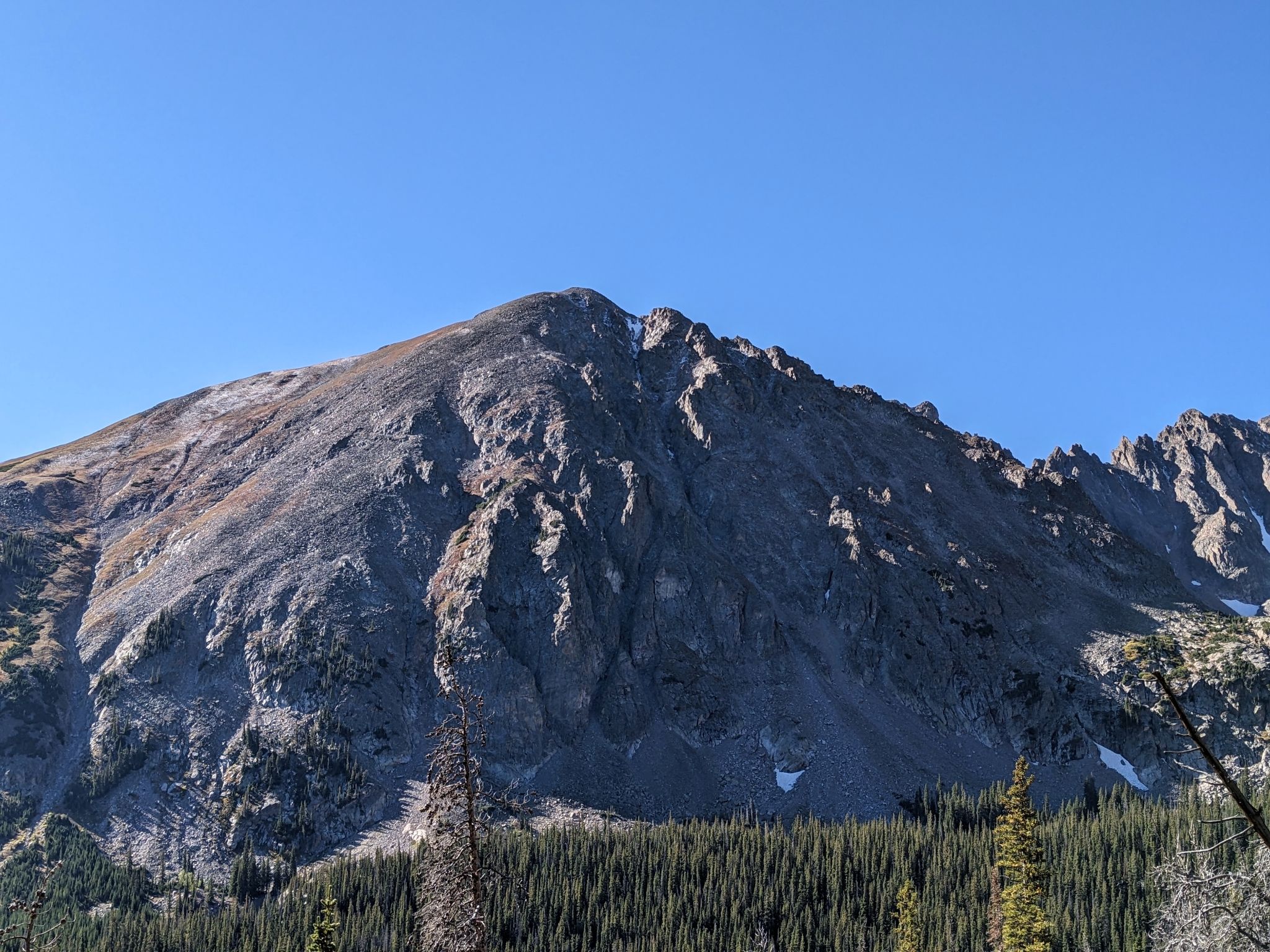
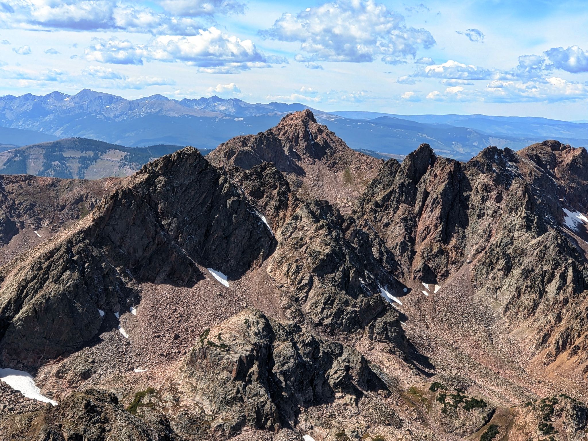
East Thorn from Rain's south eastern slopes
![Rain peak 05]()
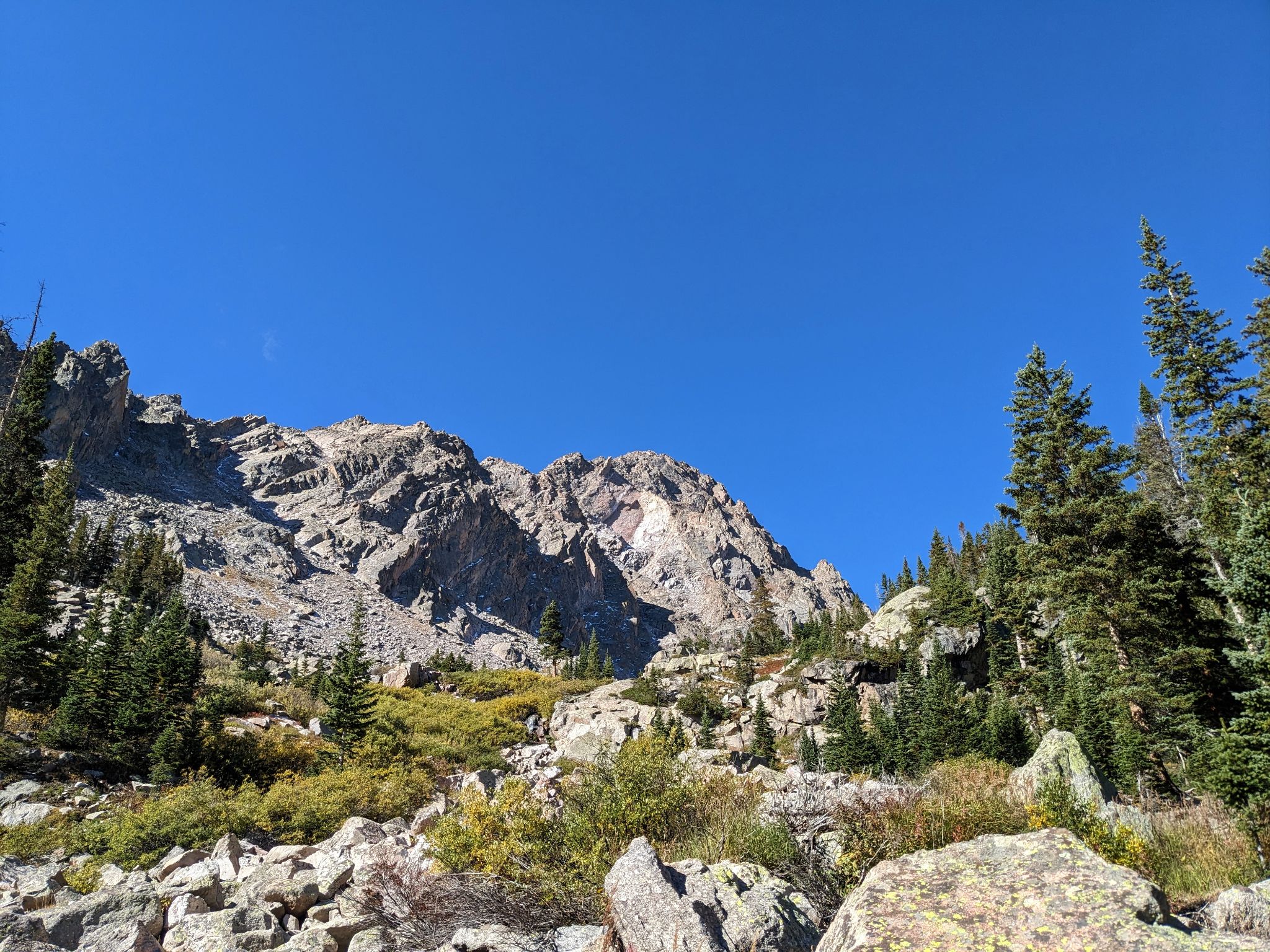
Up to the northeast ridge
![Rain peak 06]()
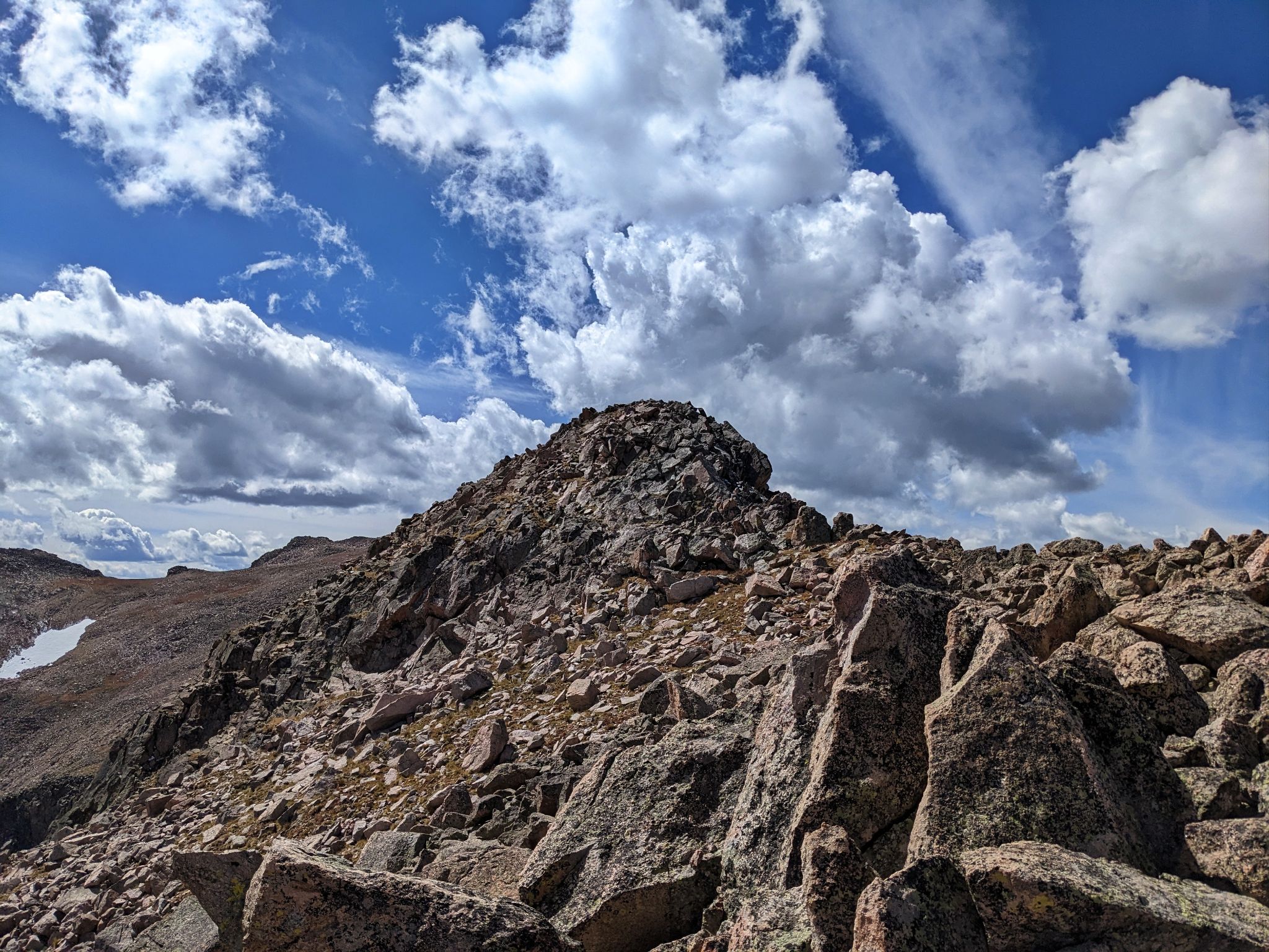
Last little bit to the summit
![Rain peak 07]()
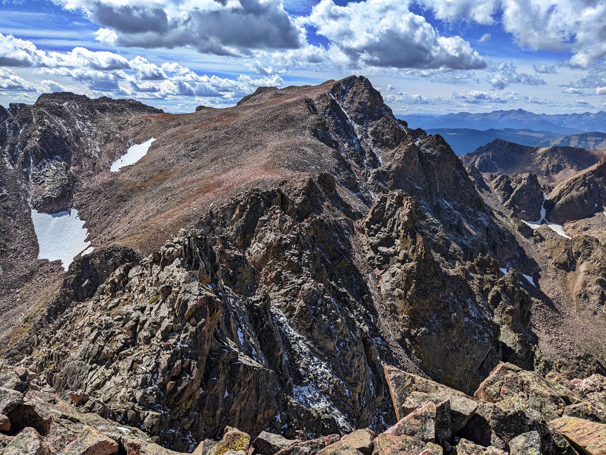
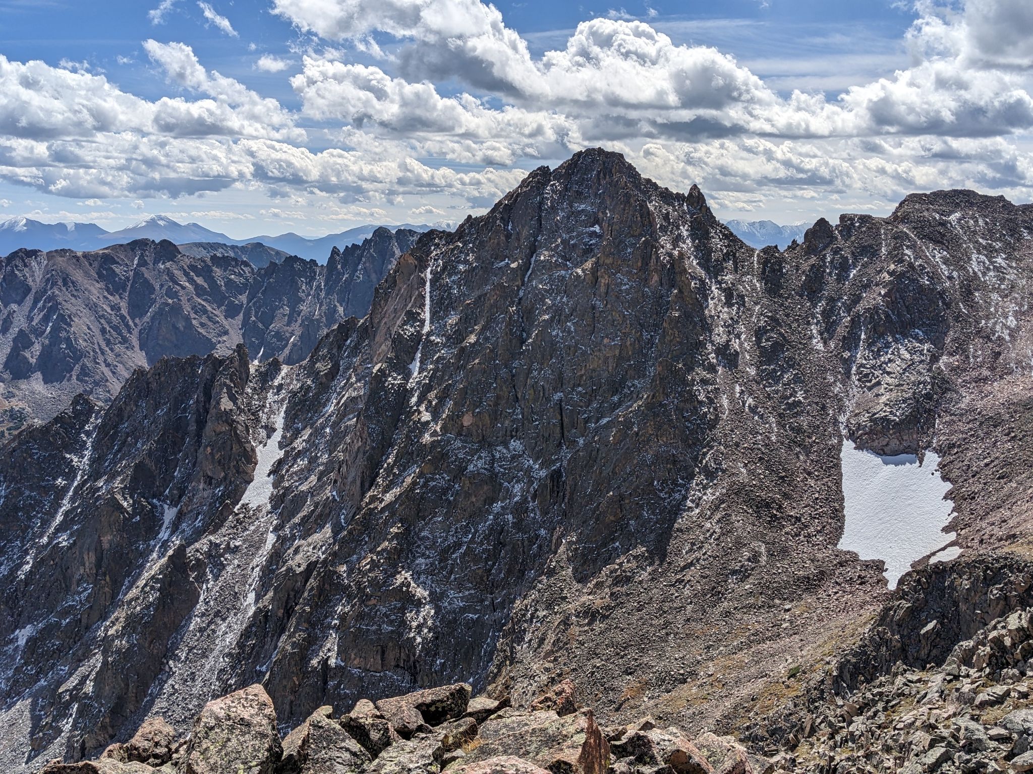
Looking across Rain's burly south ridge to Mt. Silverthorne
![Rain peak 08]()
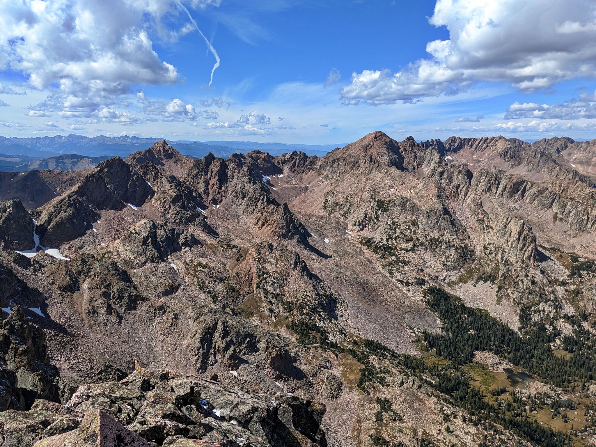
Northern Gore views
![Rain peak 10]()
East Thorn
![Rain peak 11]()
Western Gore views
![Rain peak 12]()
Snow Peak to the west
![Rain peak 13]()
Summit Selfie
![Rain peak 14]()
Valhalla, Palomino Point and North Traverse to the west
![Rain peak 15]()
Back down Rain's south east slopes to the trail