Pawnee Traverse
Date: 8/20/2025
Partner: Solo
Trailhead: Long Lake
Summits:
* Pawnee Peak (class 2)
* Little Pawnee Peak ( Class 3-4 w/optional Low 5)
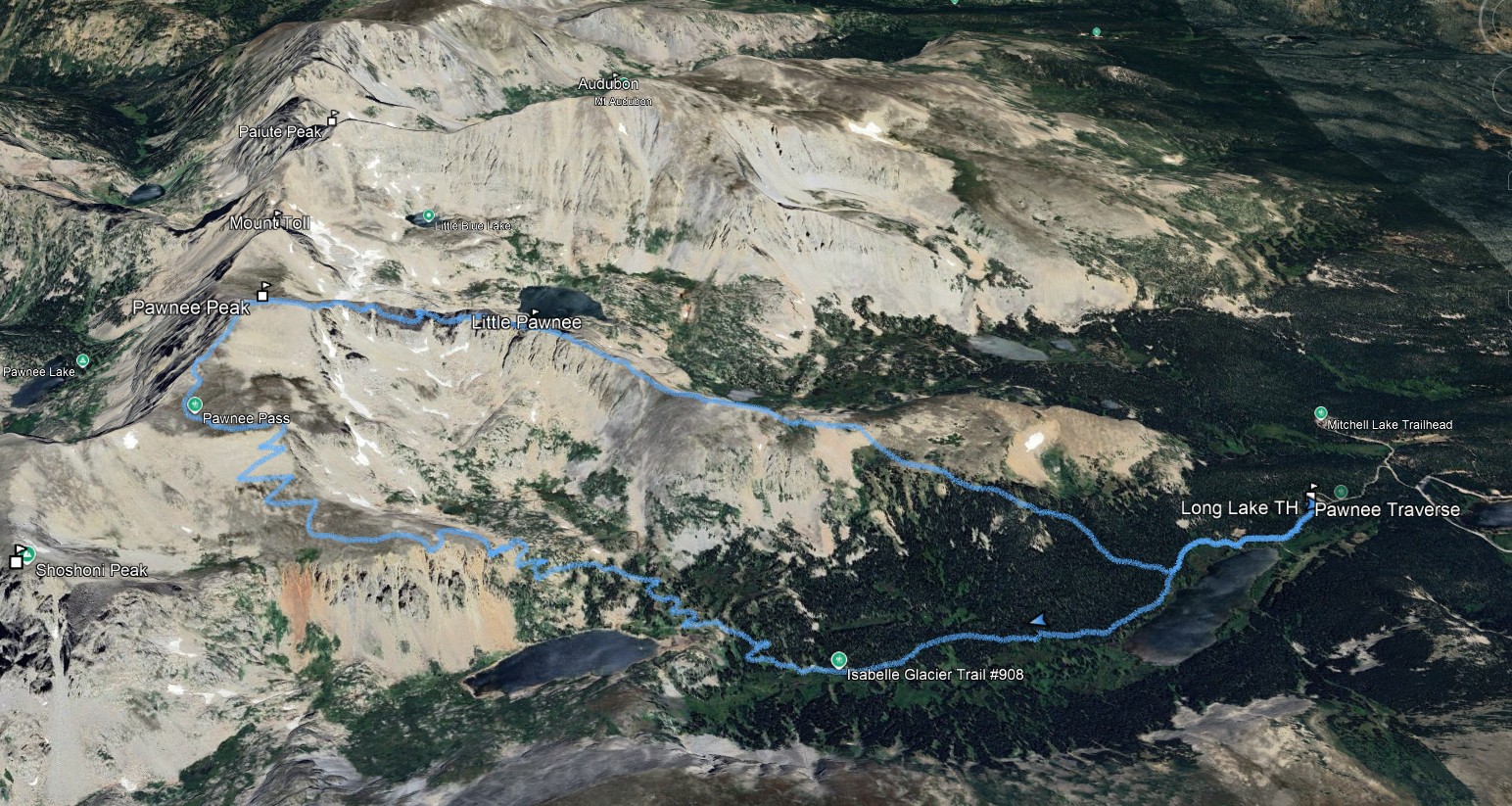
Distance: 9 miles
Elevation Gain: 2770 ft
Duration: 6hrs 40min
My watch had GPS glitch and didn't start recording until a mile in. So, for completeness, I added a mile of track to the gpx file from another trip.
The Indian Peaks are amazing and the Brainard Lake group is no execption. The approach to Pawnee Peak flys by on the scenic and well maintained Pawnee Pass Trail.
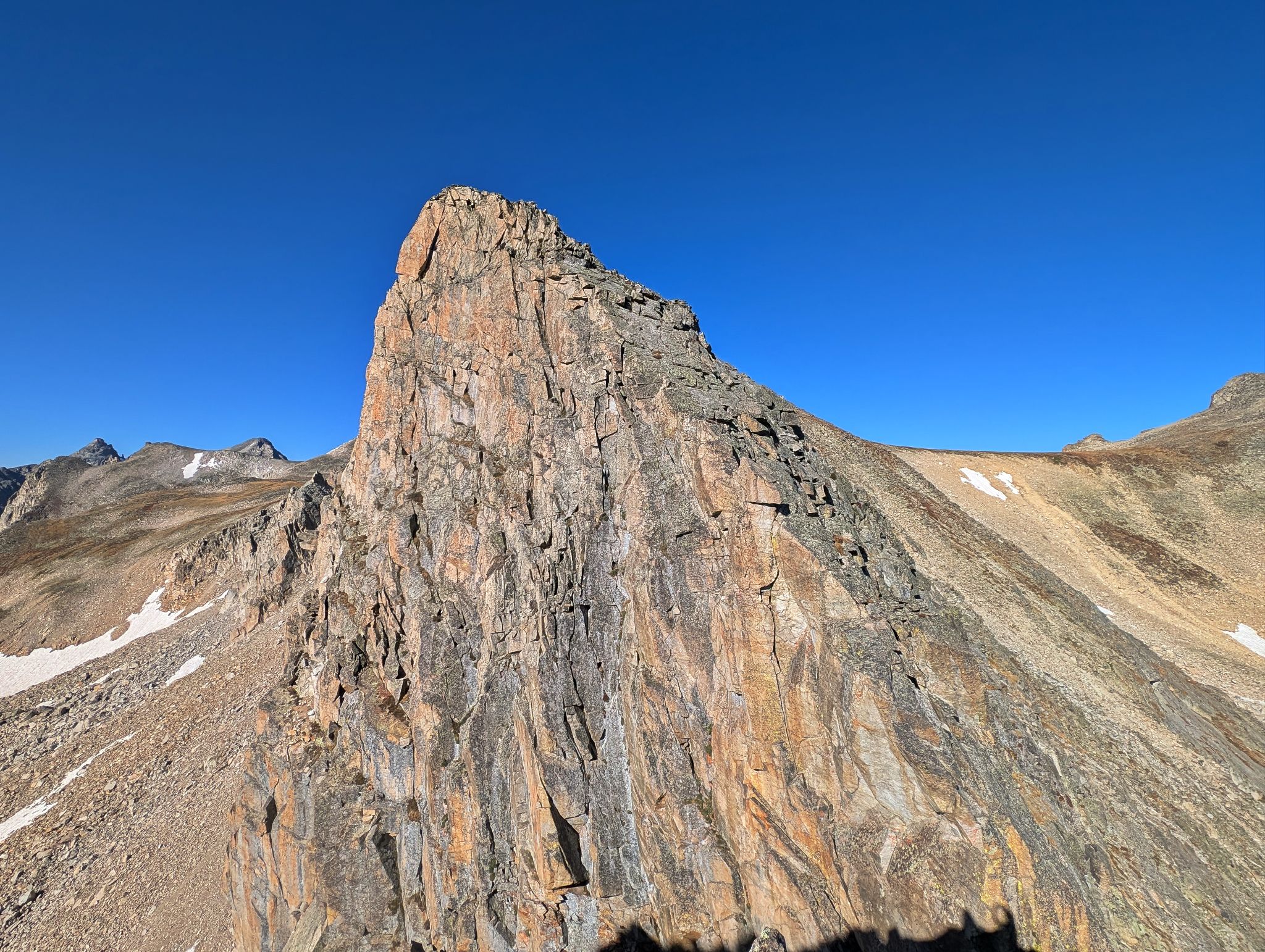
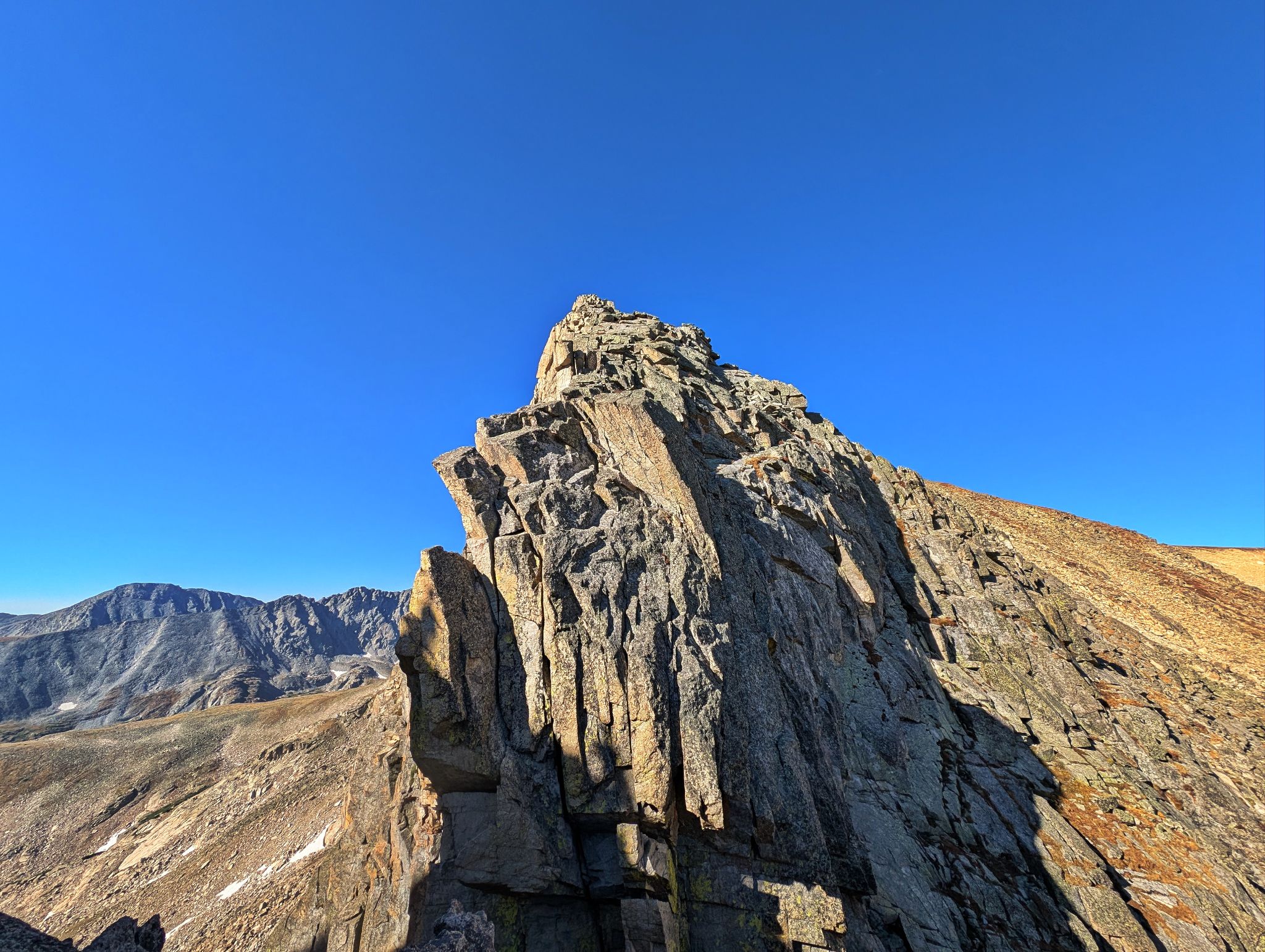
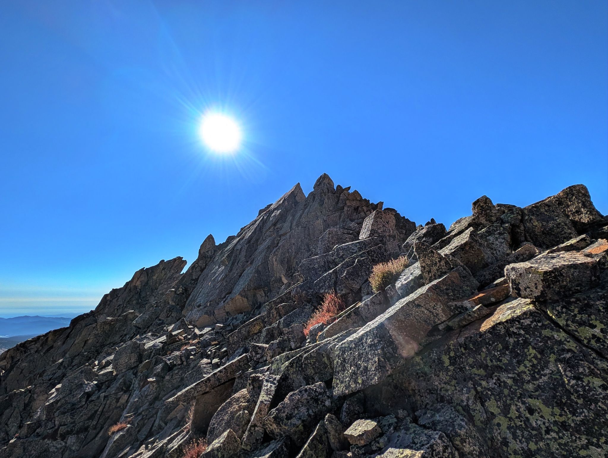
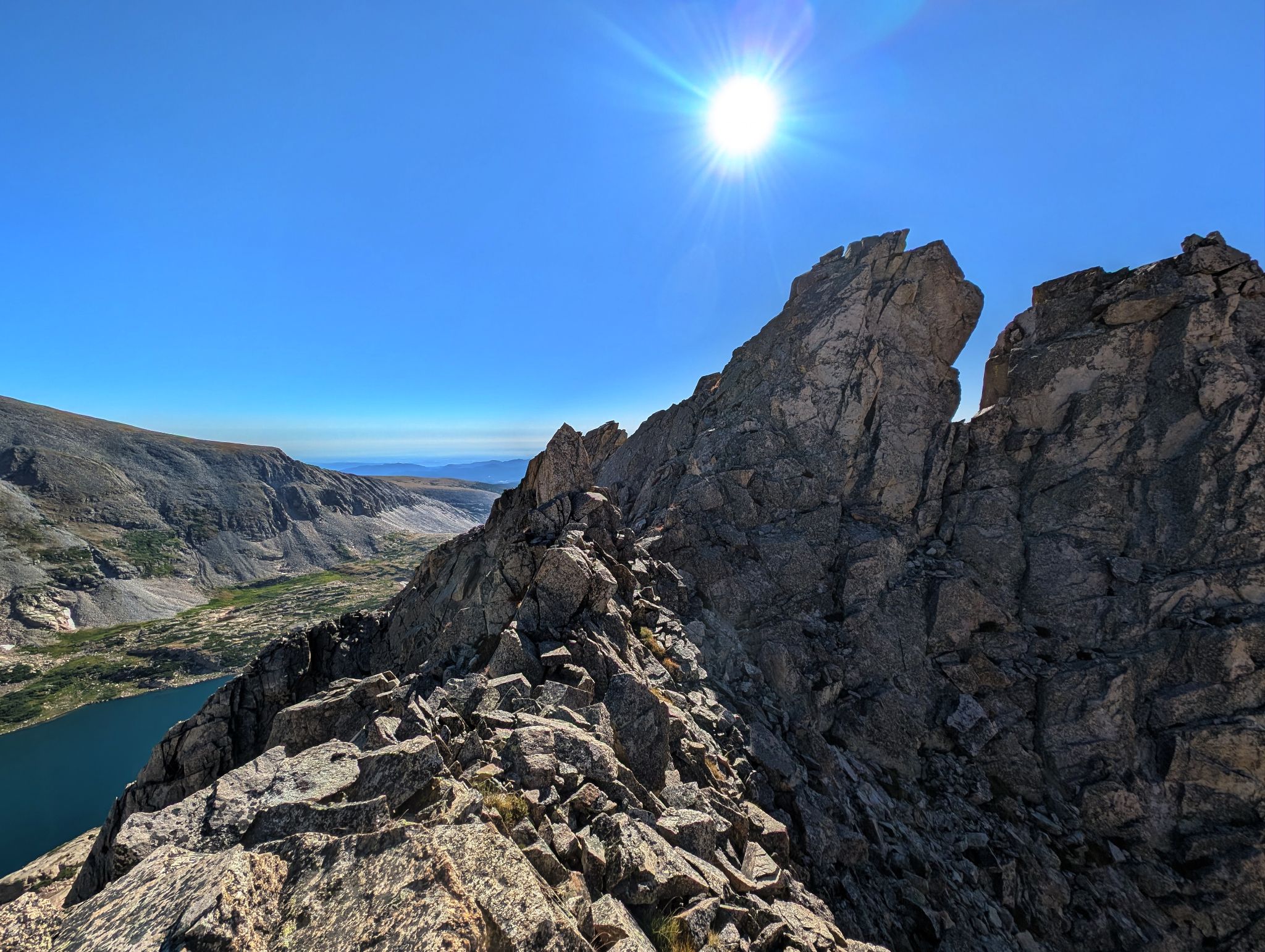
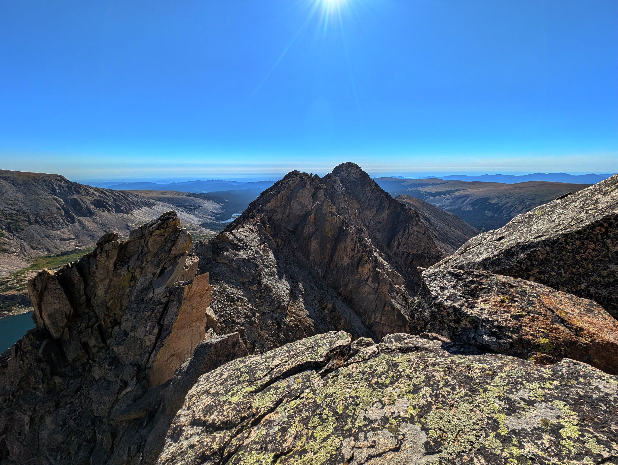
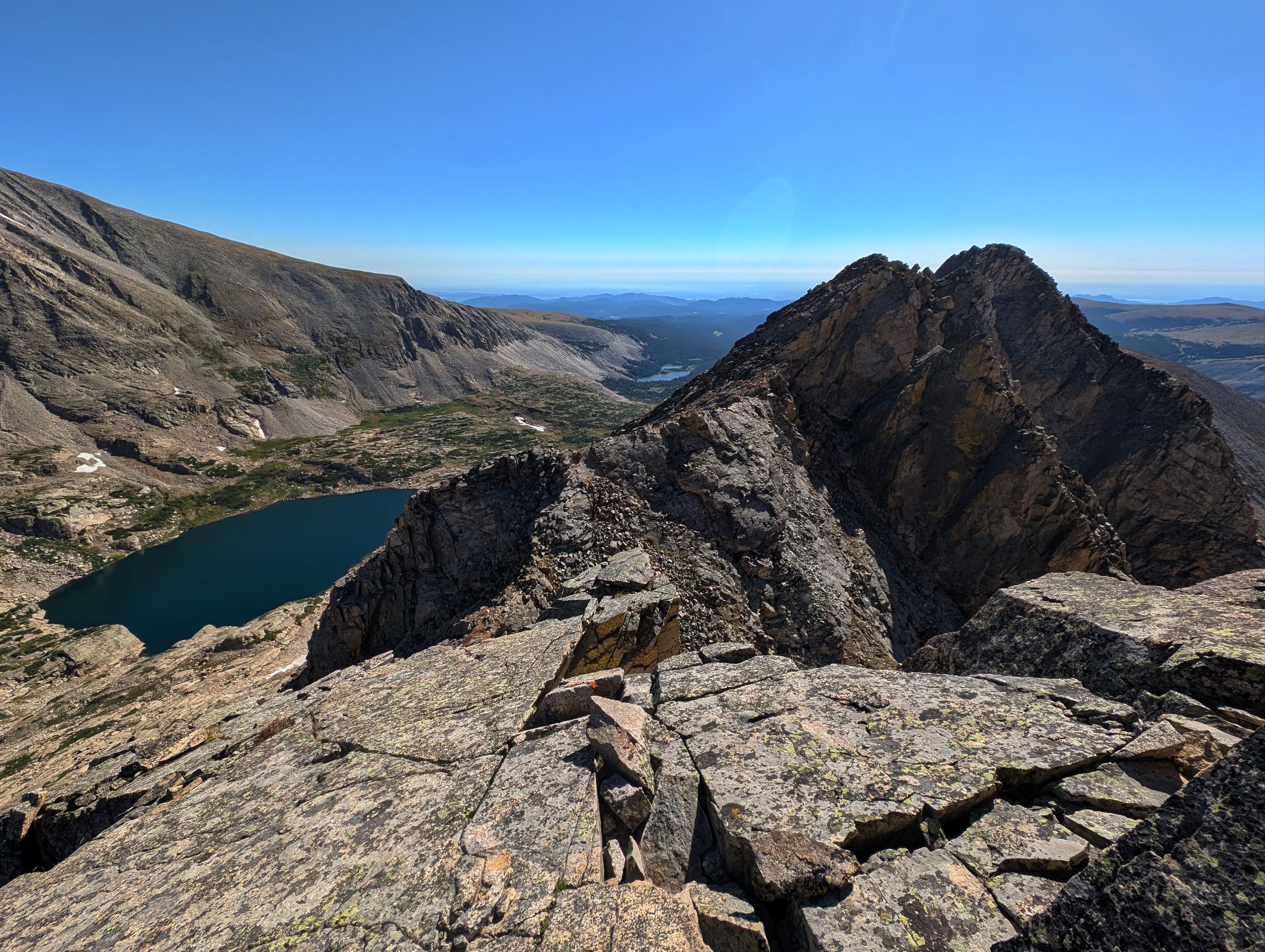
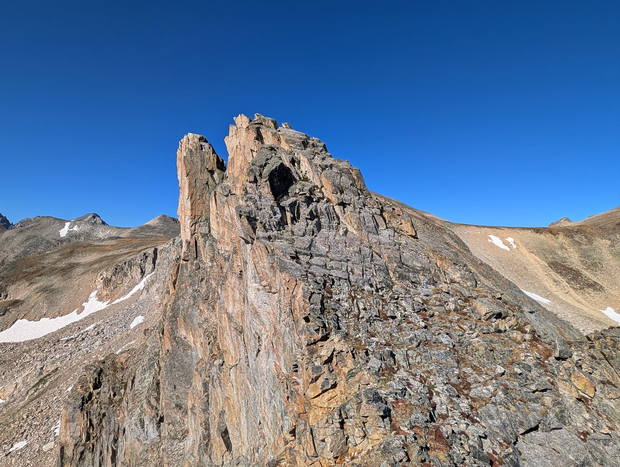
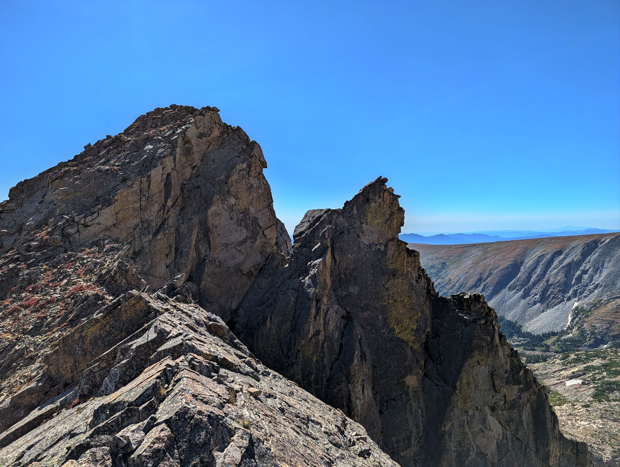
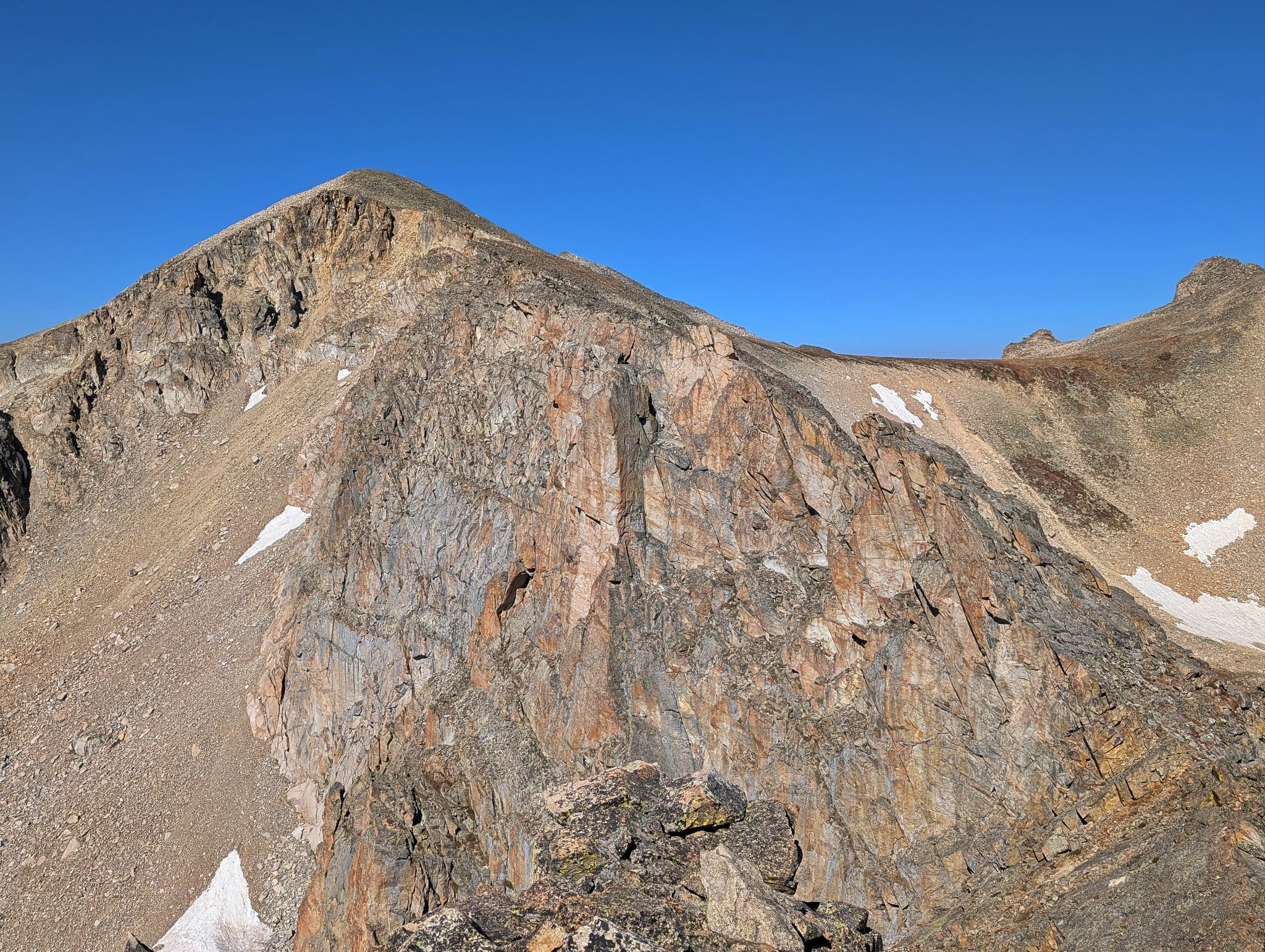
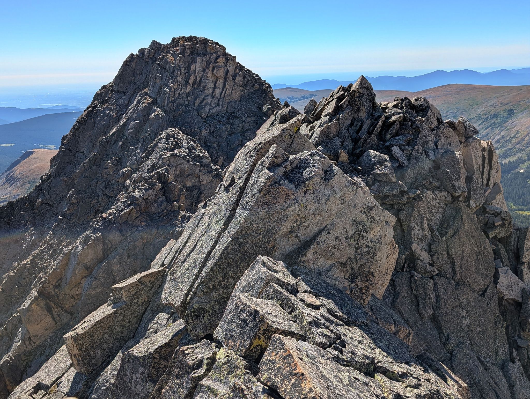
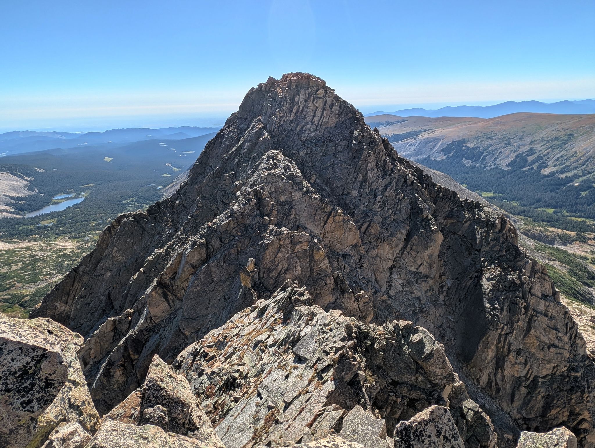
Once you reach Pawnee Peak the fun starts. The traverse to Little Pawnee is a classic and has both route finding and techical challenges. If you like, you can keep the route to class 3-4, however there are opportunities for some low 5 scrambling. For the most part the rock is solid when it needs to be.
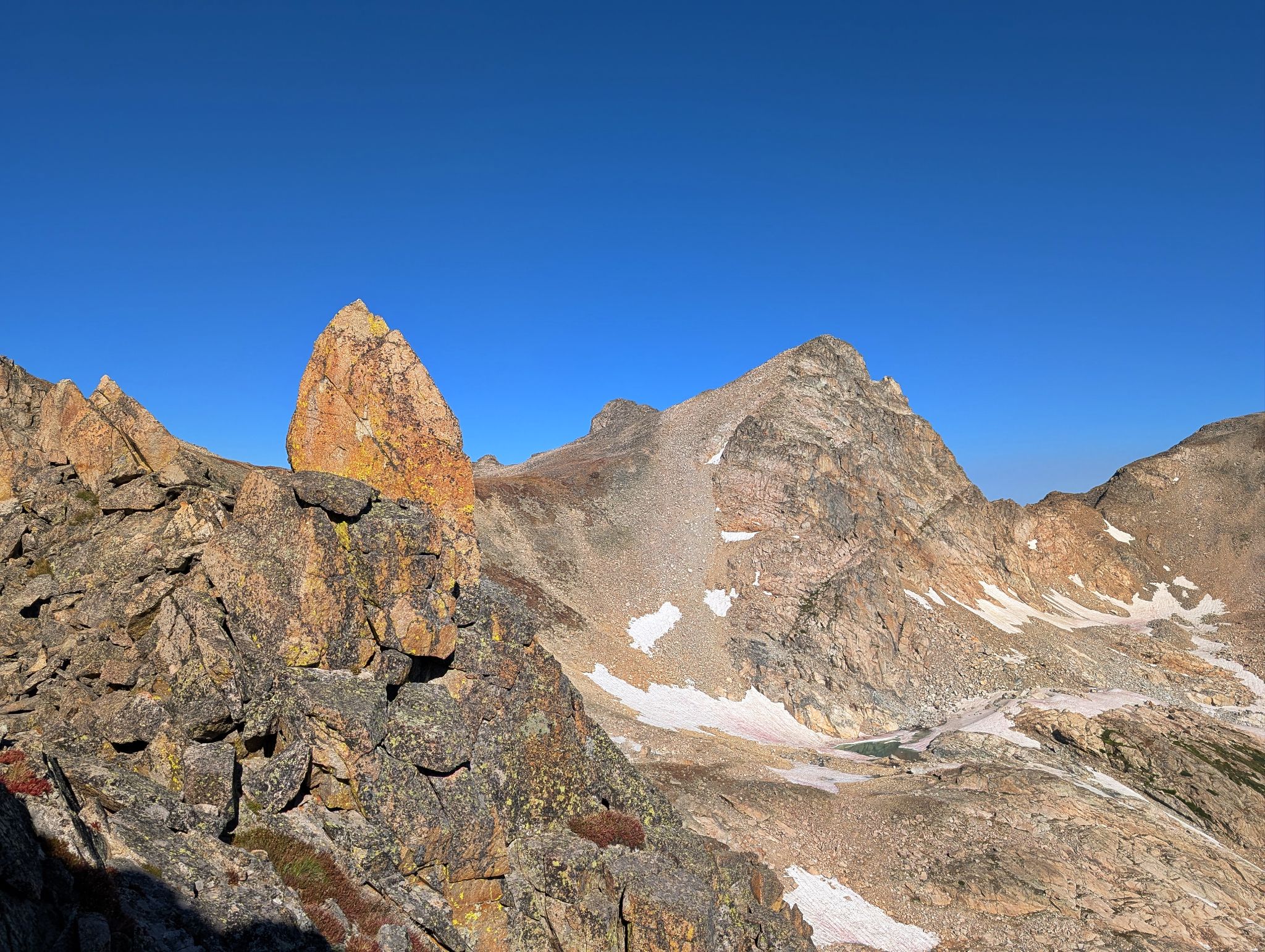
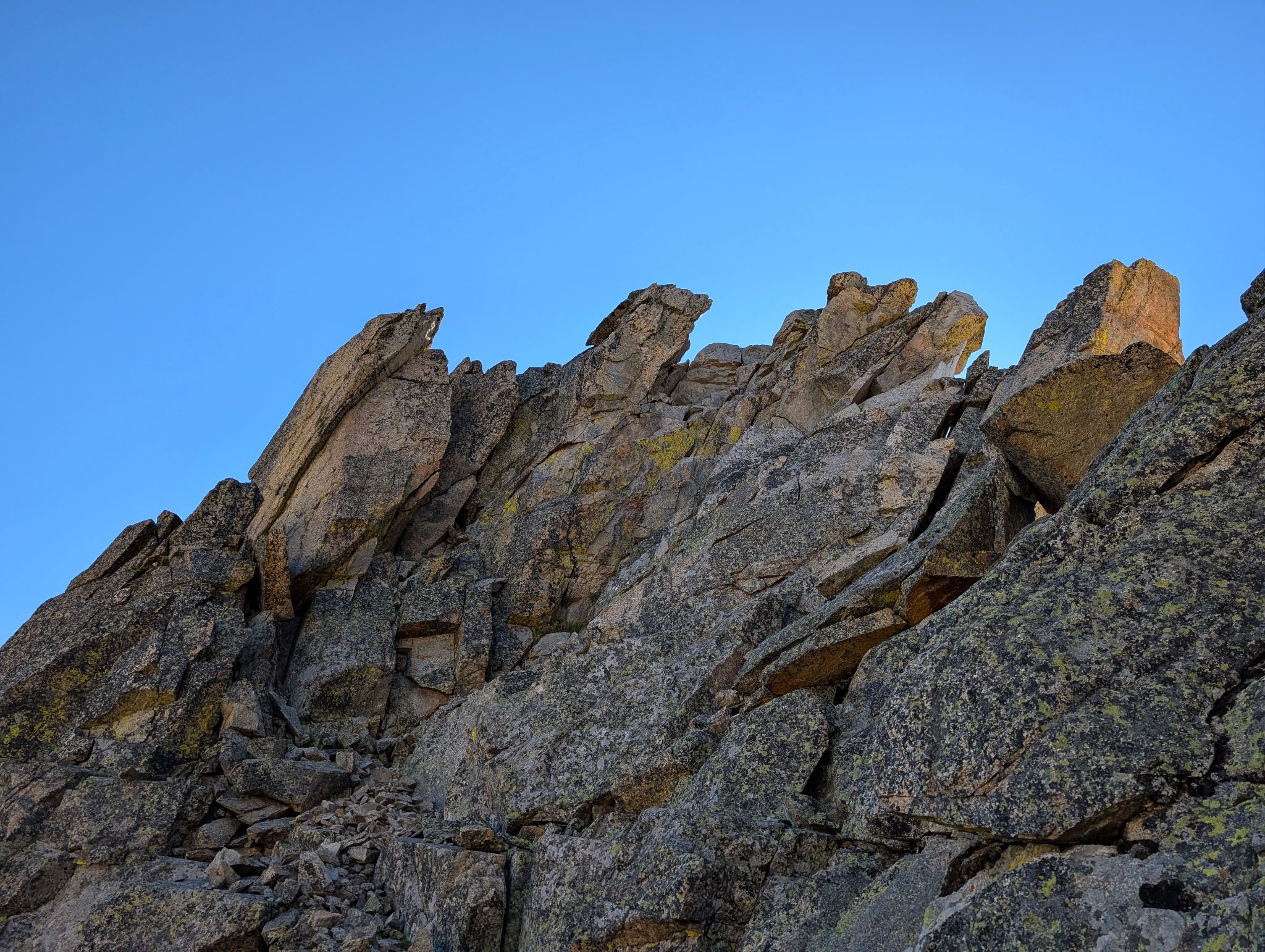
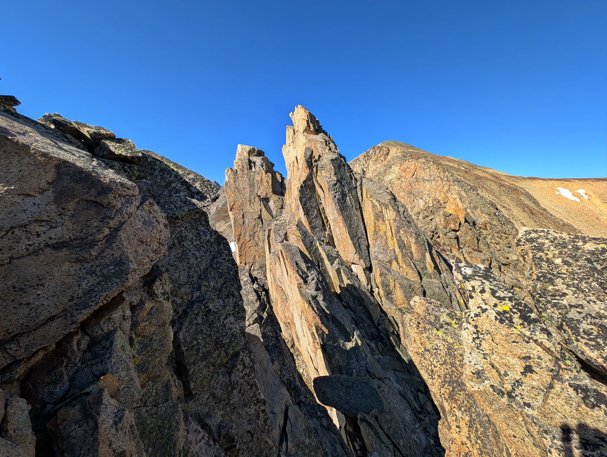
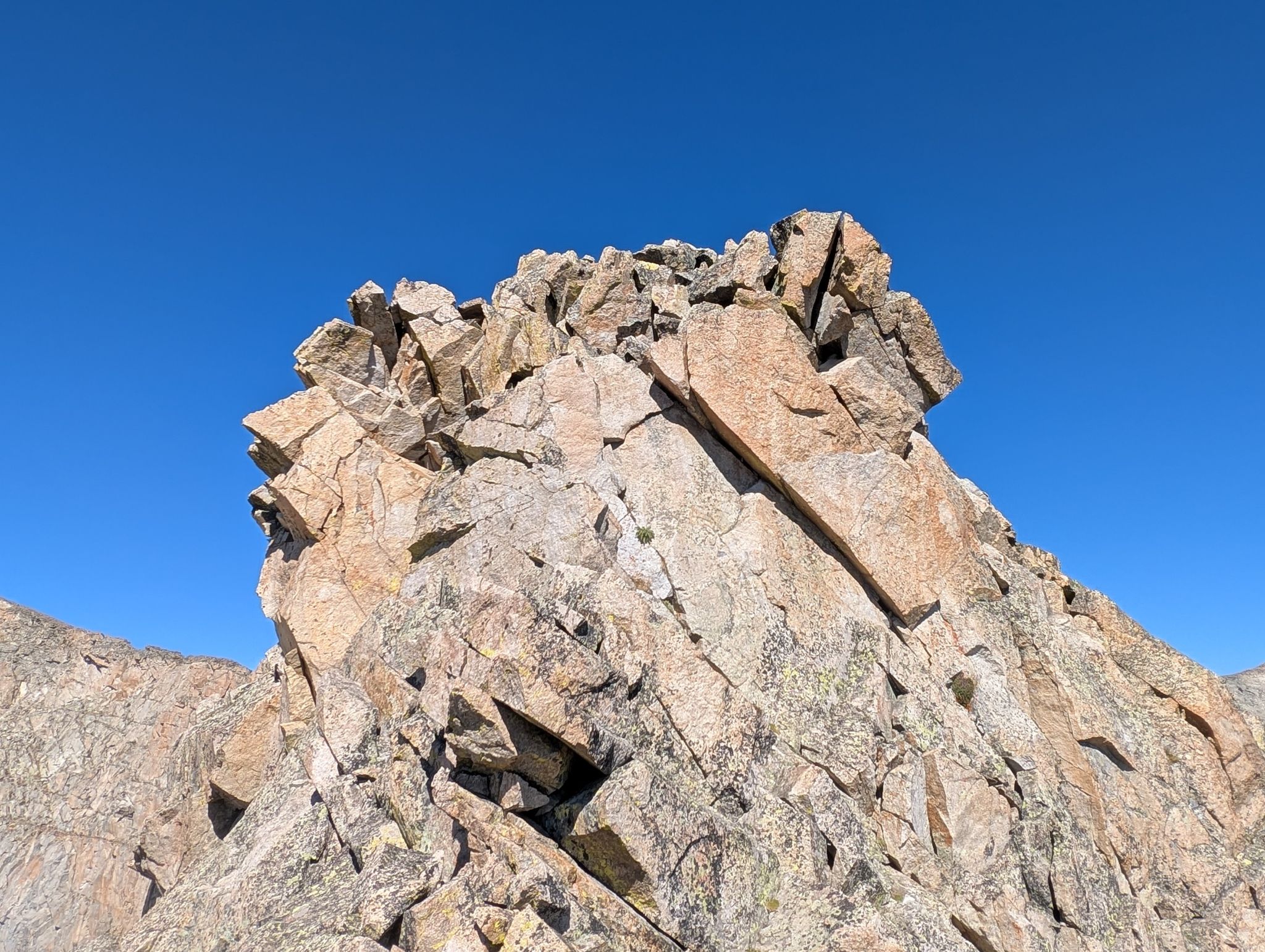
All of the towers on this ridge are one of the things that make it special. Some of the towers you will climb and others you won't. But it is incredble to be in the middle of it all.
![Pawnee 01]()
9 mi - 2770 ft - 6hrs 40min
![Pawnee 02]()
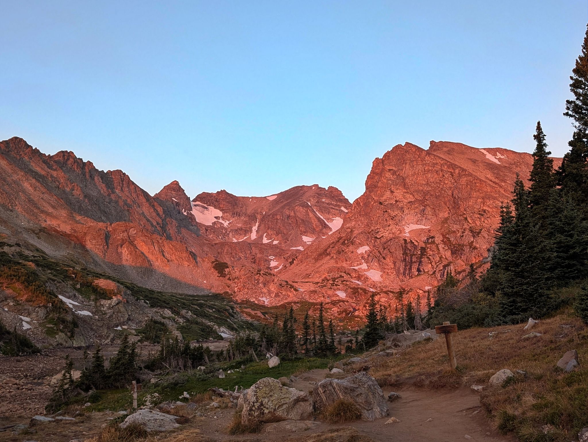
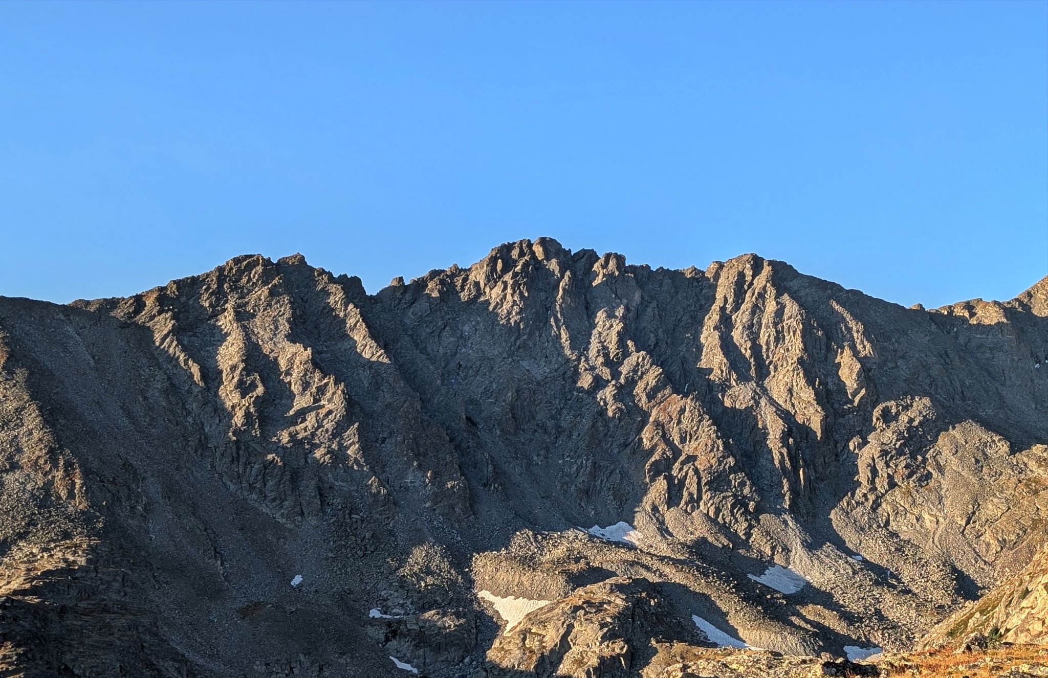
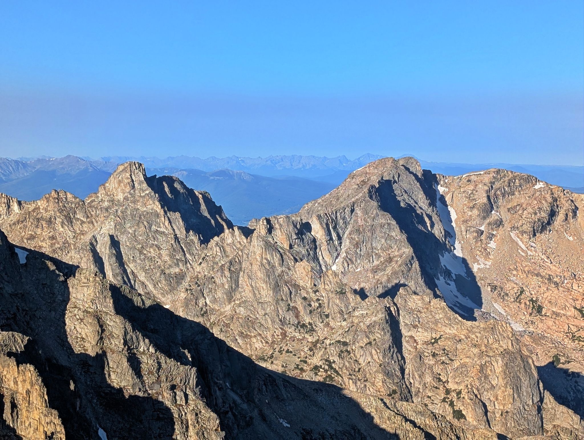
Sunrise views of L2R: Navajo, Apache and Shoshoni from the Pawnee Pass Trail
![Pawnee 03]()
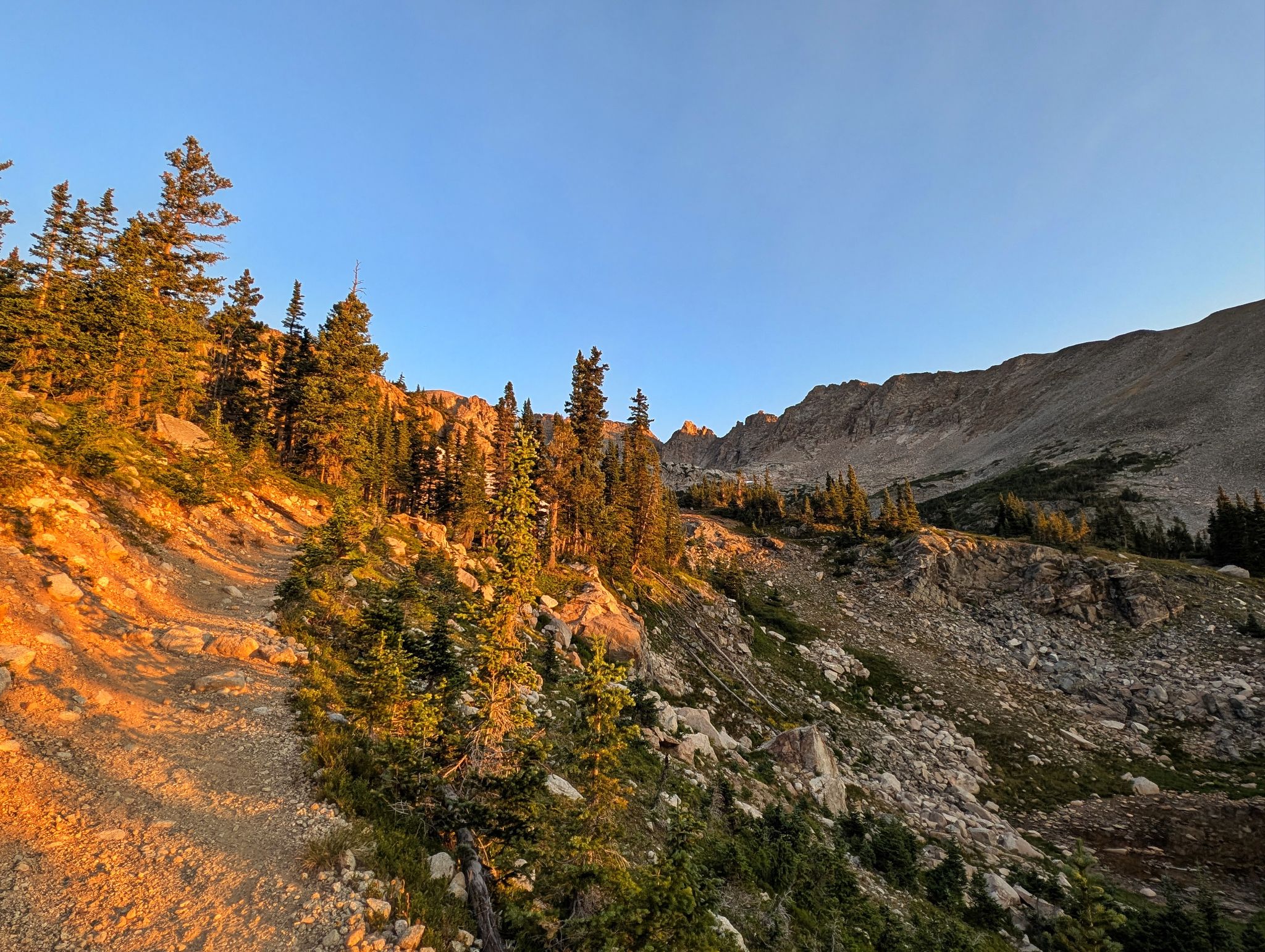
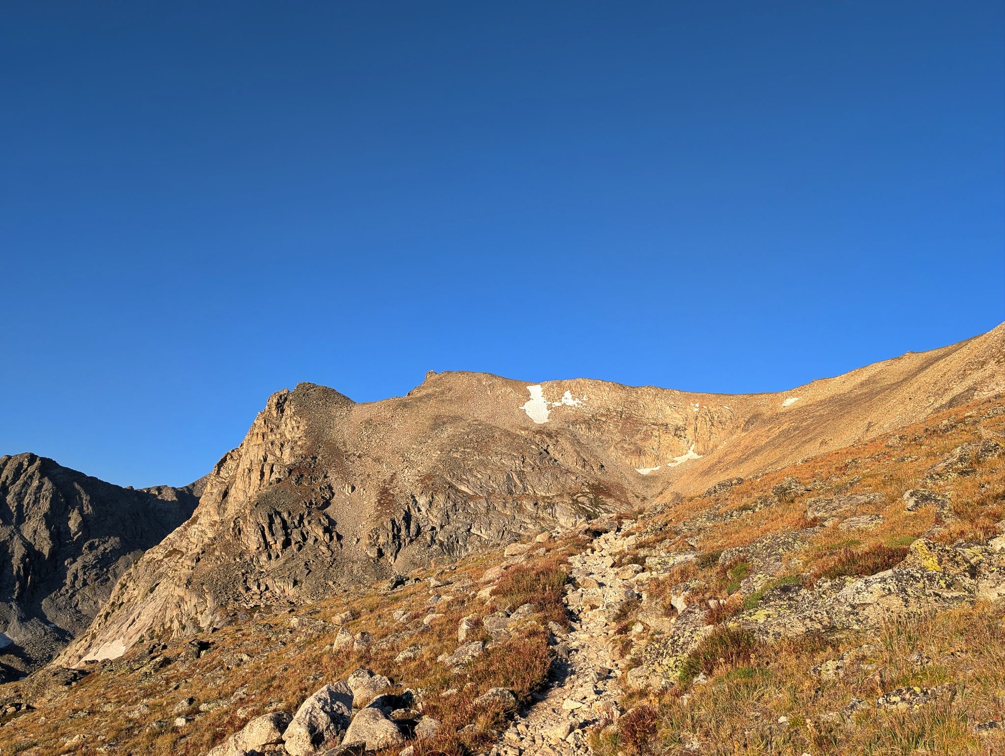
The trail to Pawnee Pass is amazing
![Pawnee 04]()
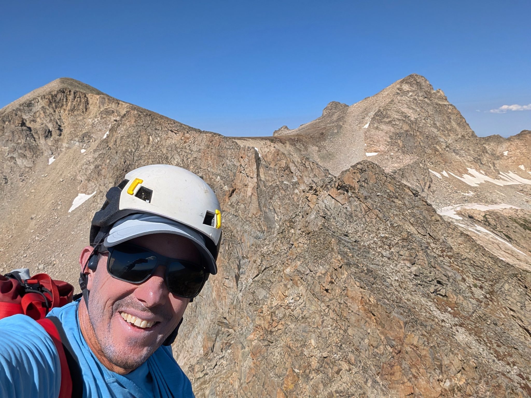
My traverse between Pawnee Peak (L) and Little Pawnee Peak (R)
![Pawnee 05]()
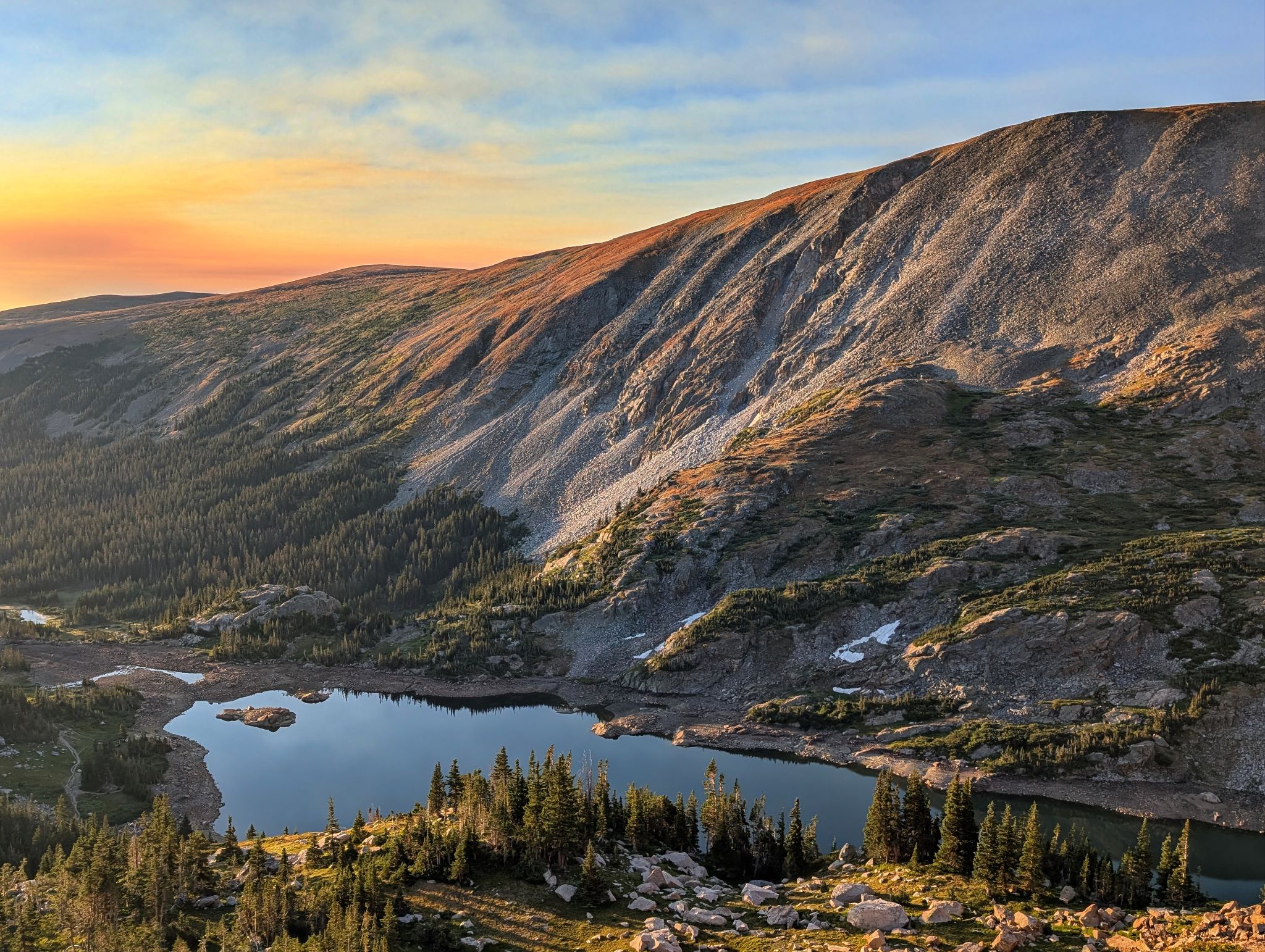
Long Lake and the eastern shoulder of Niwot Ridge
![Pawnee 06]()
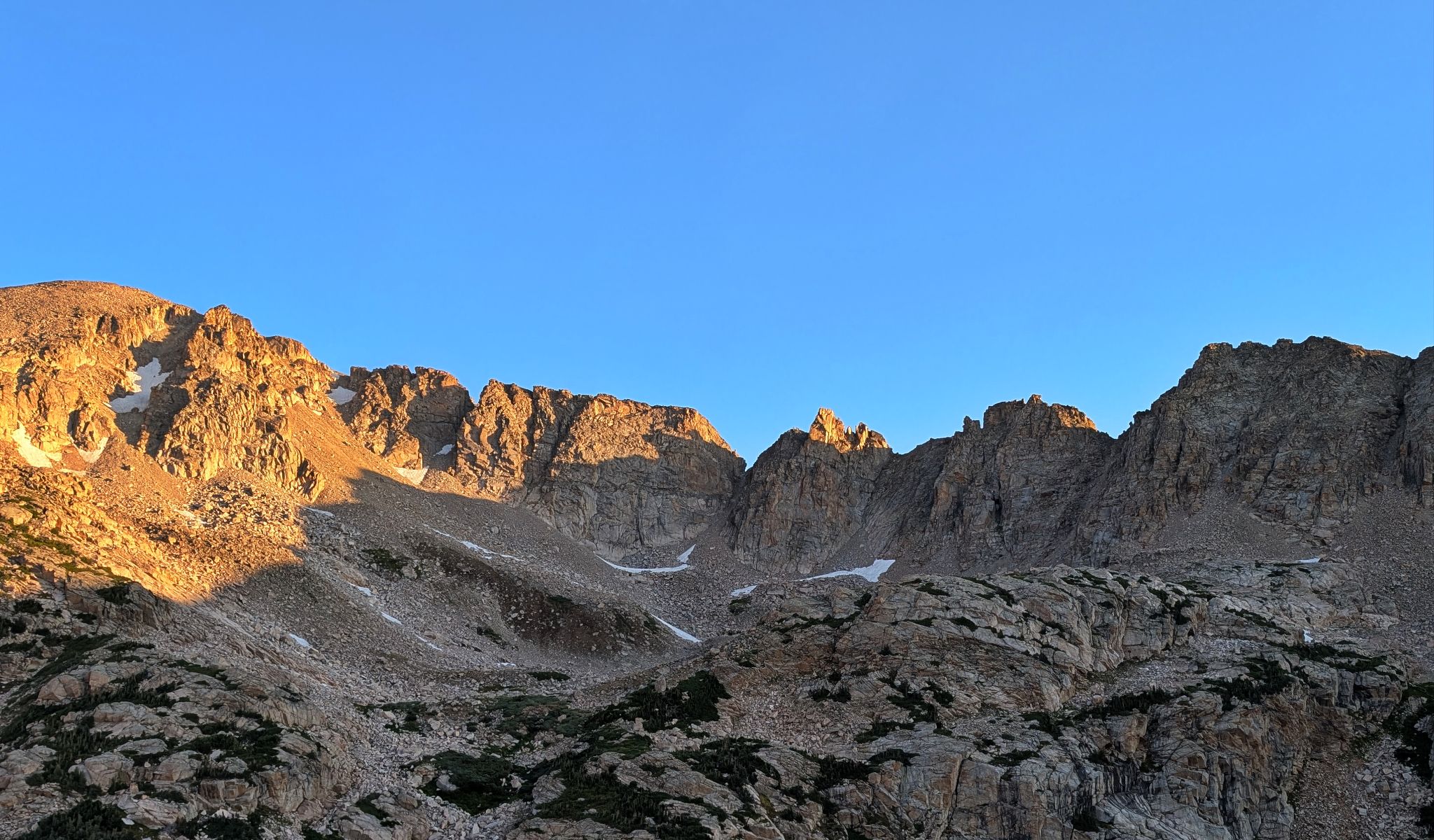
Views of Shoshoni Peak as the trial switchbacks to the pass
![Pawnee 07]()
Niwot Ridge to the south... a fun scramble in its own right
![Pawnee 08]()
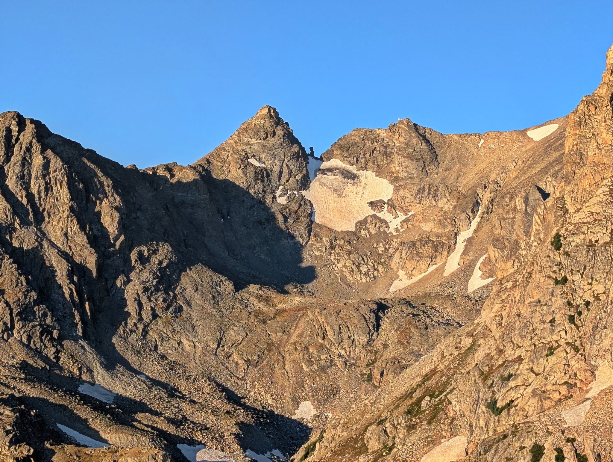
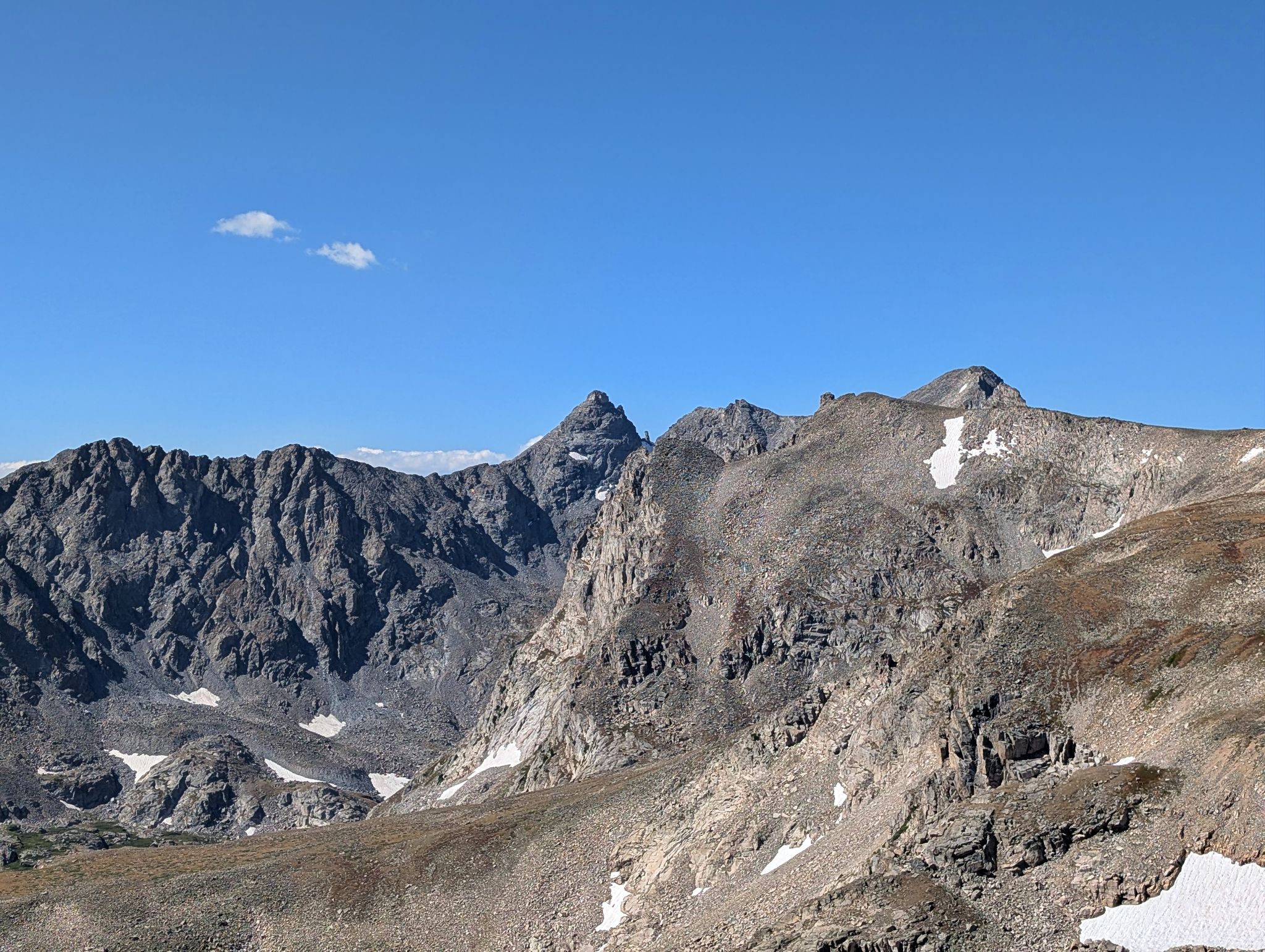
Navajo Peak and Dickers Peck
![Pawnee 09]()
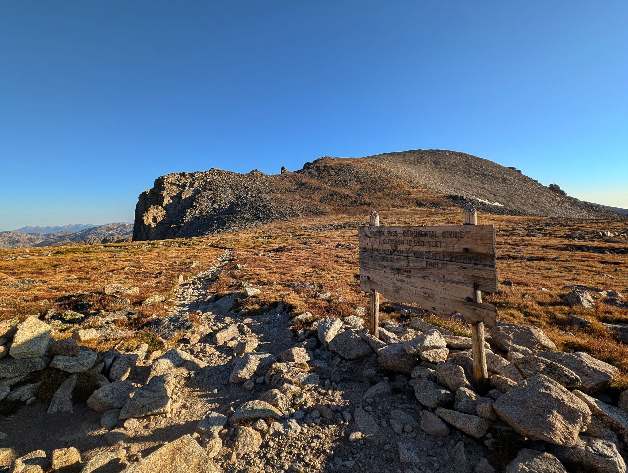
Pawnee is just a stone's throw from the pass
![Pawnee 10]()
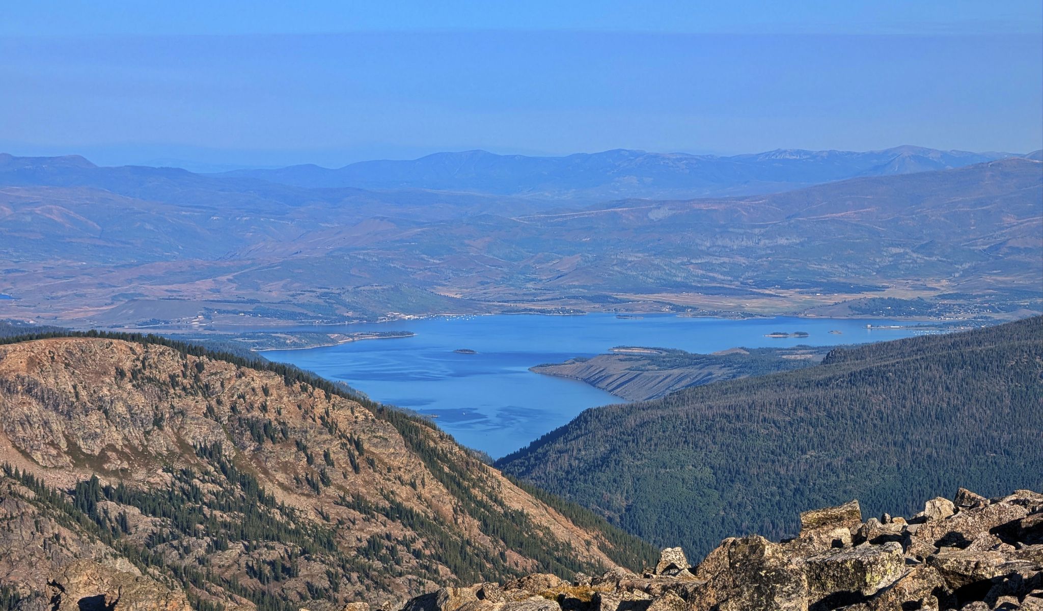
Lake Granby to the northwest of the pass
![Pawnee 11]()
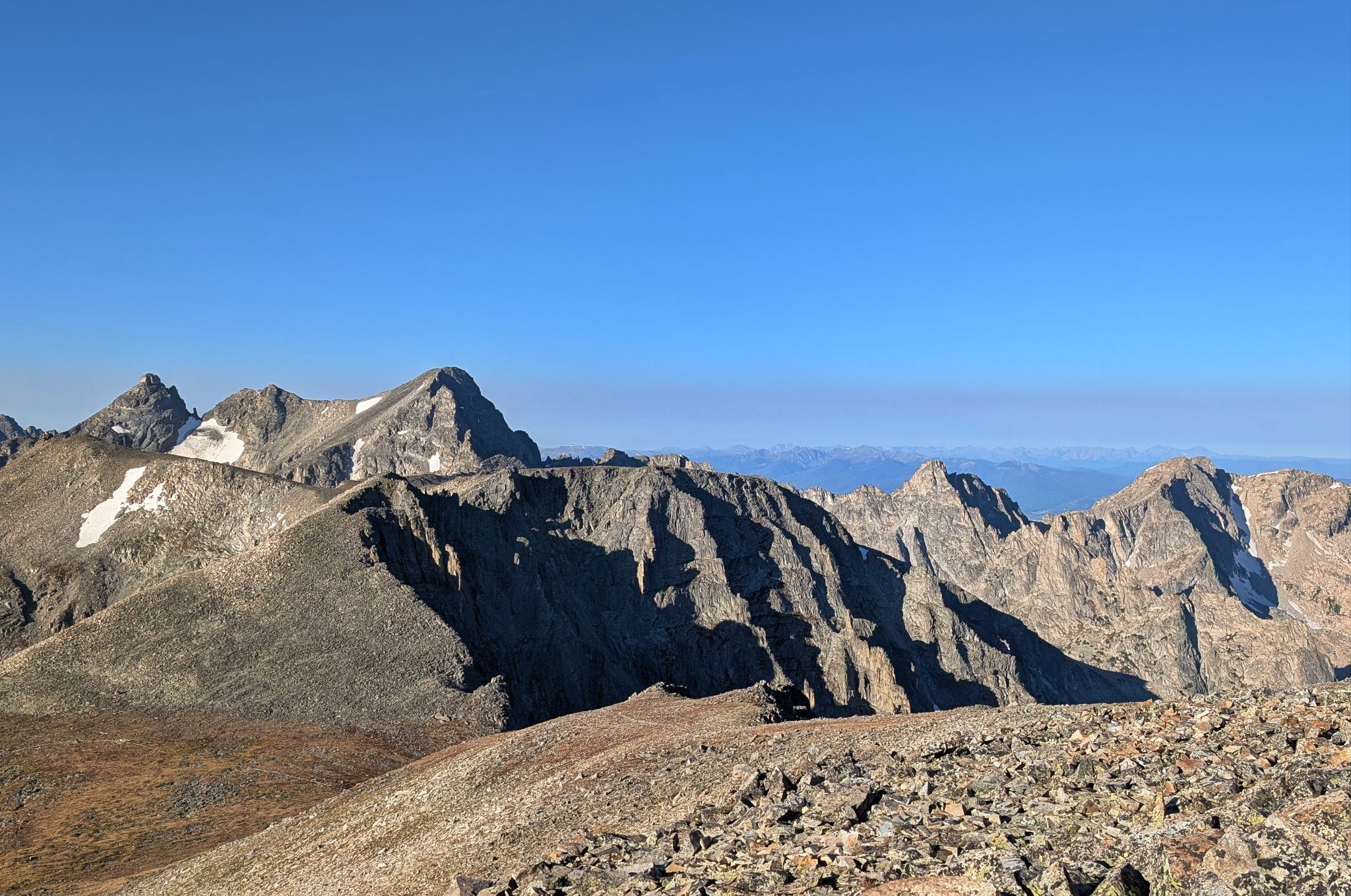
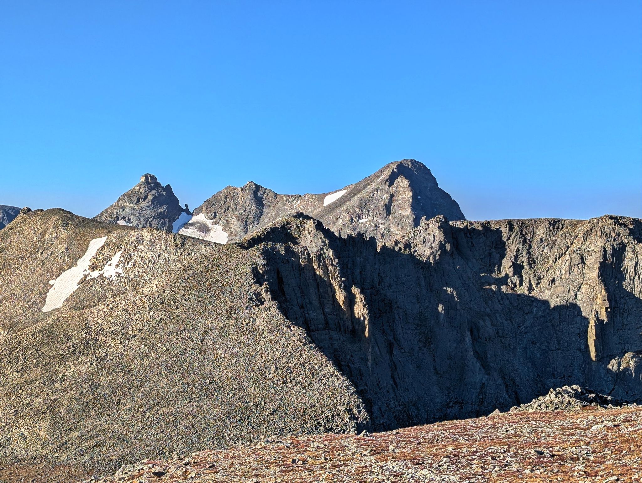
Navajo and Apache to the south
![Pawnee 12]()
Navajo and Apache... Dickers Peck is in there too
![Pawnee 13]()
Indian Peaks views to the west
![Pawnee 14]()
Pawnee's east ridge looking burly... next stop Little Pawnee which is about a mile away
![Pawnee 15]()
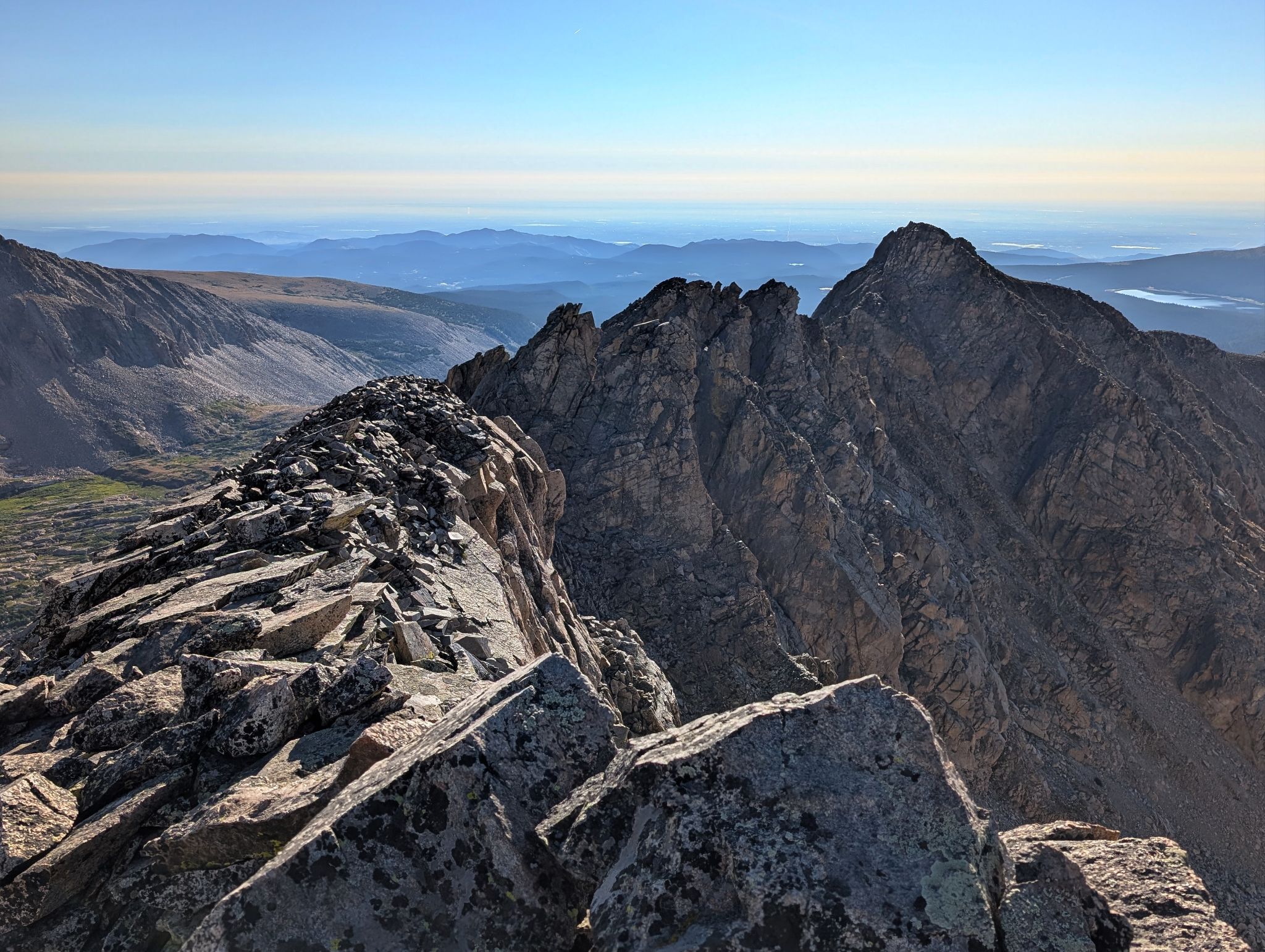
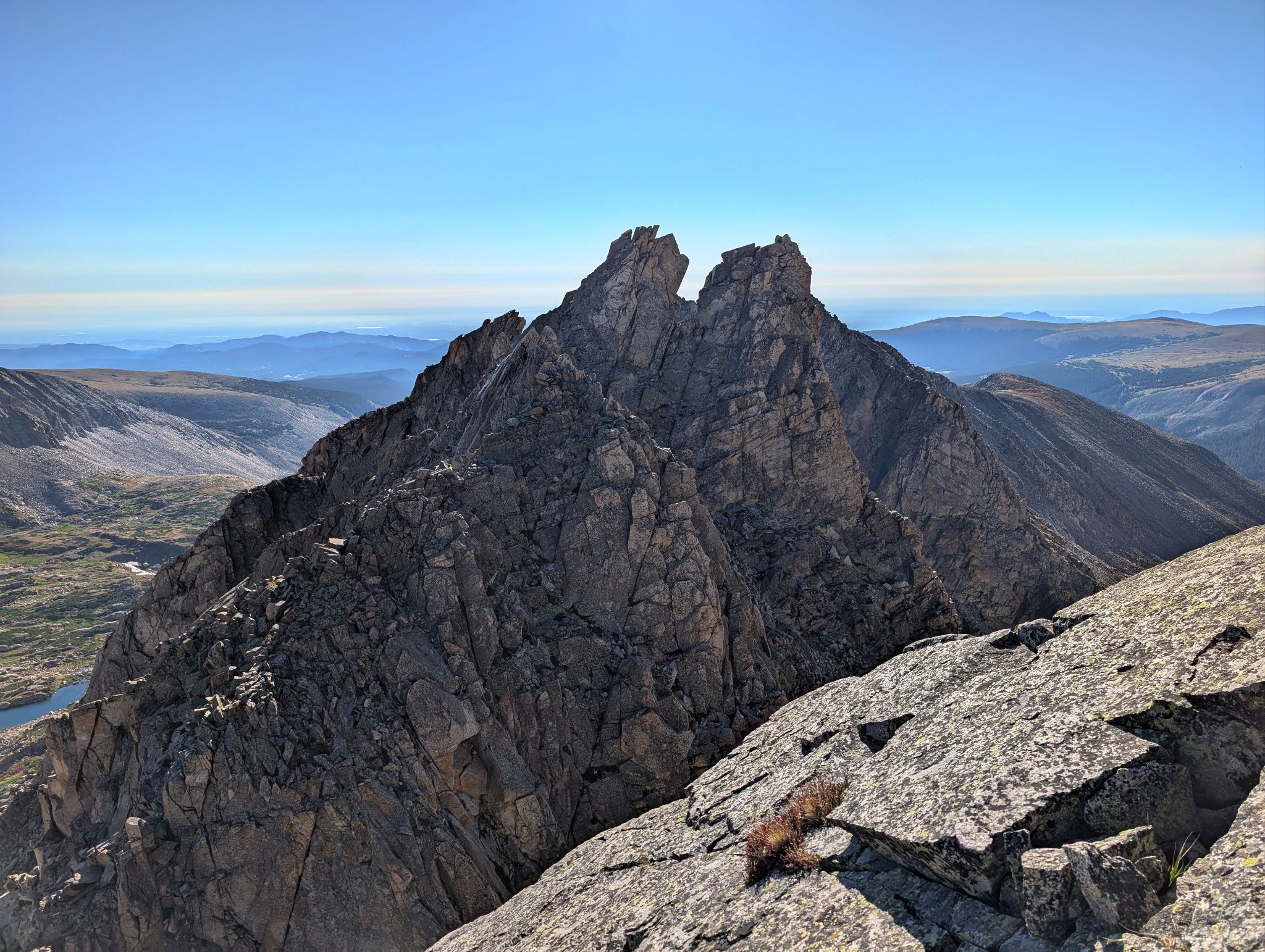
Lots of towers along this ridge... some you climb others you bypass on the left/north
![Pawnee 16]()
The first obstacle of the day was this slabby down climb. I went a good ways down just to learn it doesn't go. Climbed back up and bypassed on the north side of the ridge
![Pawnee 17]()
The slabby tower I was down climbing
![Pawnee 18]()
How the slabby tower ends
![Pawnee 19]()
From the notch below the tower I climbed back up to the ridge
![Pawnee 20]()
![Pawnee 21]()
Little Pawnee looking a long ways off from the top of a tower
![Pawnee 22]()
Looking back to the always impressive Mount Toll
![Pawnee 23]()
Try to keep to the ridge and drop down to the left/north if it doesn't go
![Pawnee 24]()
A glance back towards Pawnee
![Pawnee 25]()
A slabby down climb... not too bad
![Pawnee 26]()
Looking back to the slabby down climb
![Pawnee 27]()
Making my way along the ridge
![Pawnee 28]()
Another impressive view of Pawnee
![Pawnee 29]()
Getting closer but still plenty of ridge to go
![Pawnee 30]()
I ended up down climbing this... might not recommend... but I was stoked once I was off of it. The rock was at least solid
![Pawnee 31]()
Little Pawnee wasn't looking so little as I got closer
![Pawnee 32]()
Looking back to a tower I bypassed on the left
![Pawnee 33]()
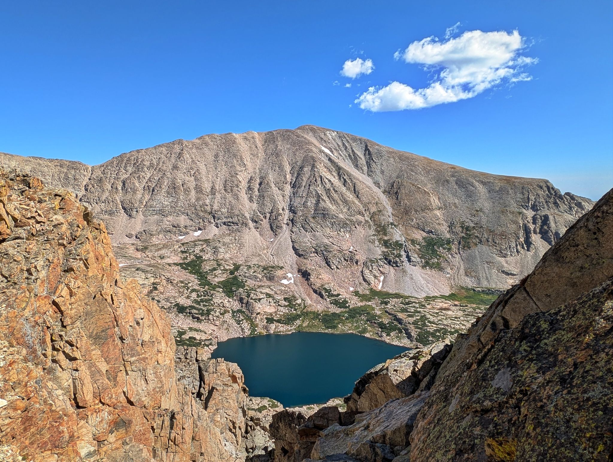
Audubon towers above Blue Lake
![Pawnee 34]()
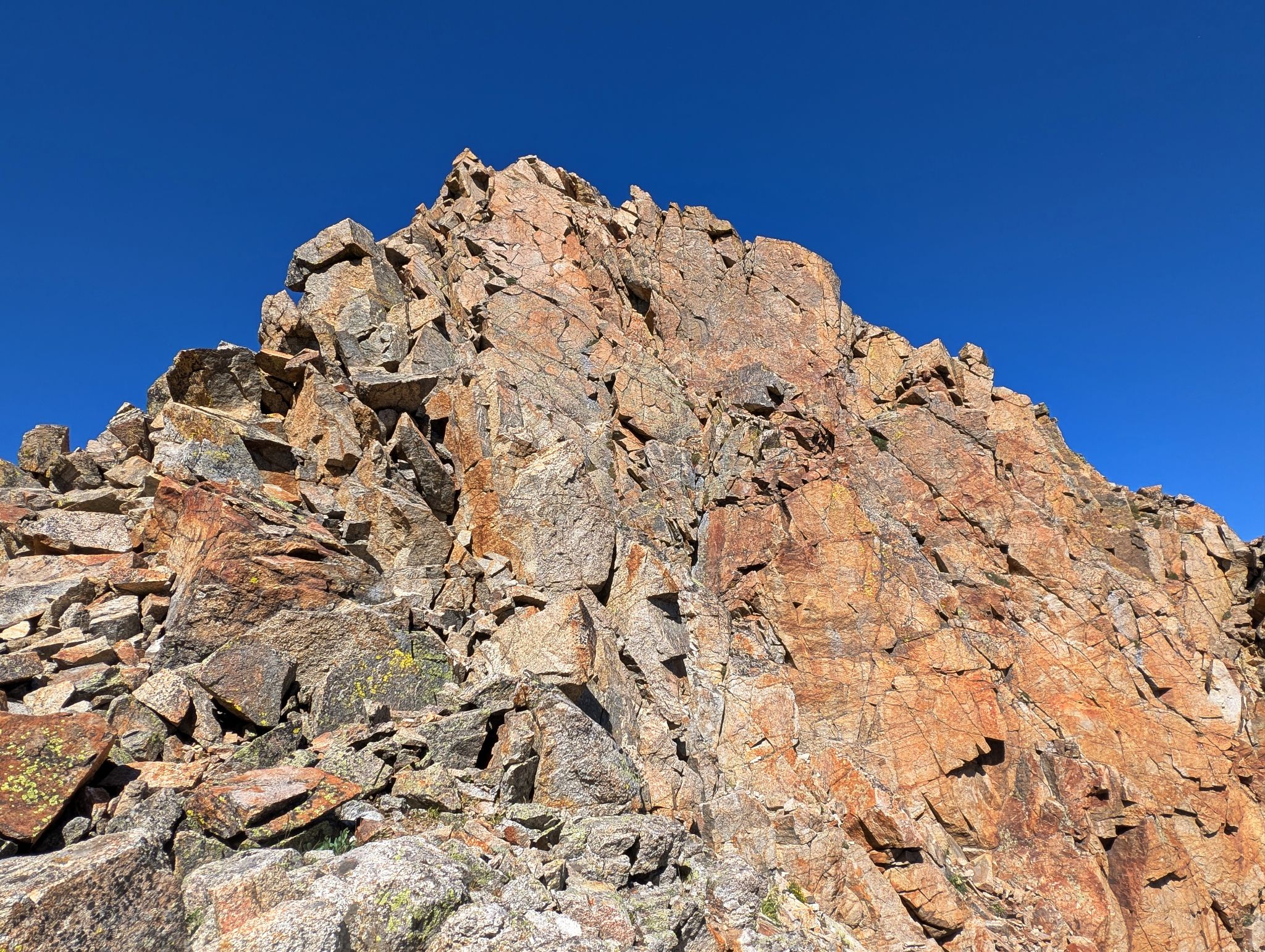
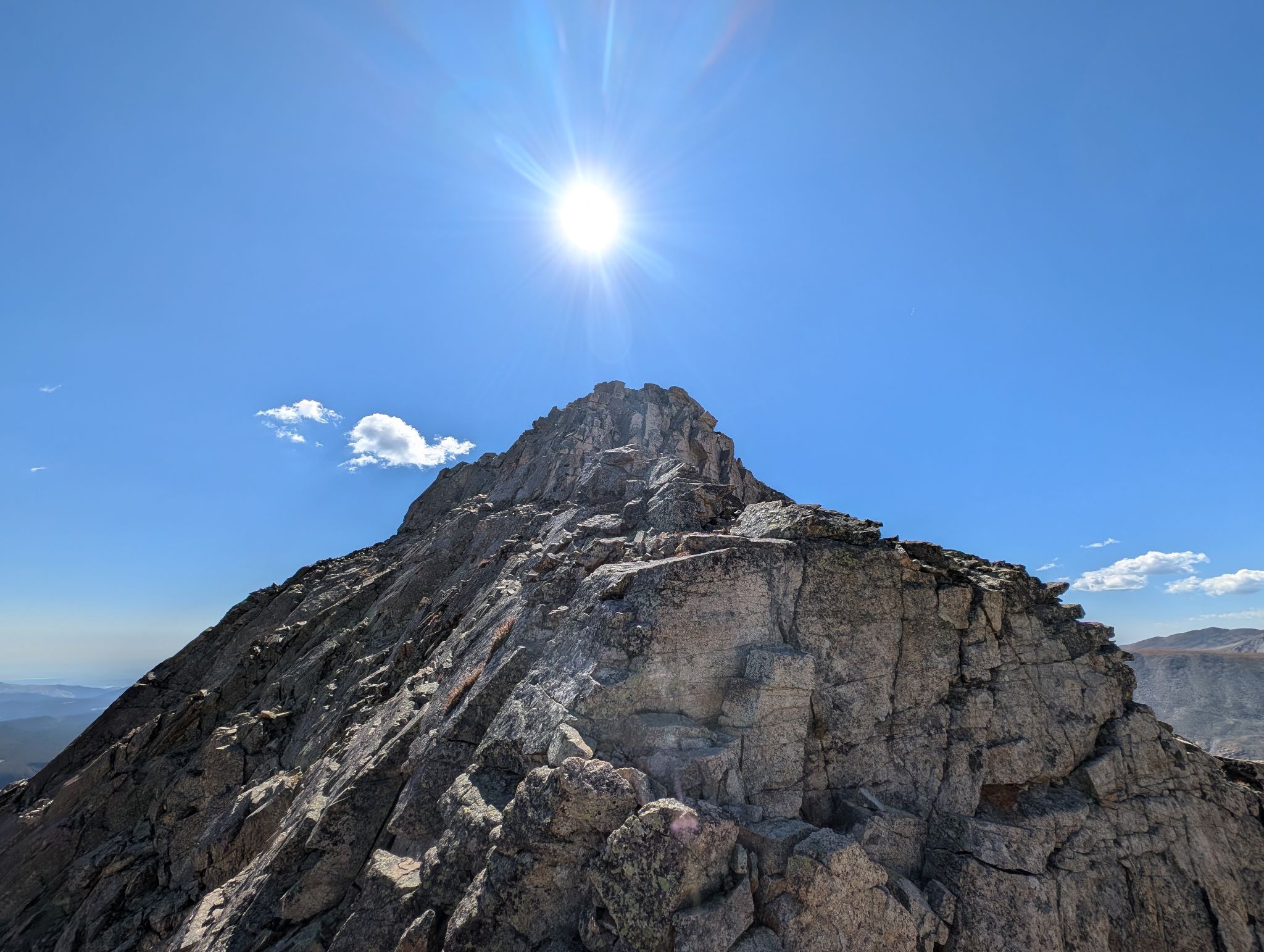
There are plenty of ways to climb Little Pawnee's headwall. I took it straight on before wrapping around to the north side about 90 feet from the summit
![Pawnee 35]()
Looking back to Navajo and Shoshoni from the summit
![Pawnee 36]()
Yeah buddy... that was a fun one!
![Pawnee 37]()
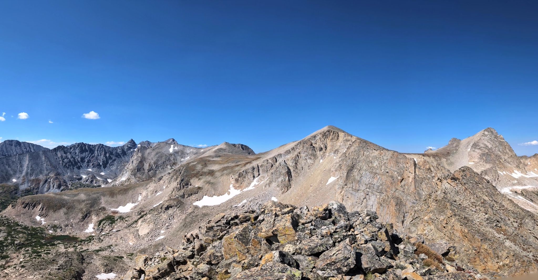
Pano: Niwot Ridge and Navajo on the left... Pawnee and Toll on the right
![Pawnee 38]()
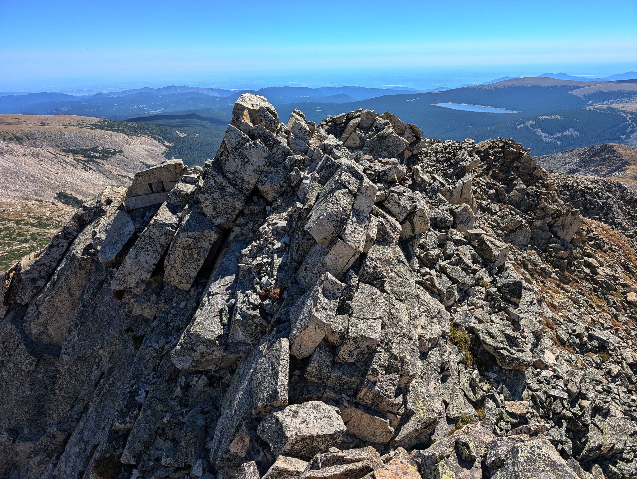
Little Pawnee's east ridge - still a little scrambling to do
![Pawnee 39]()
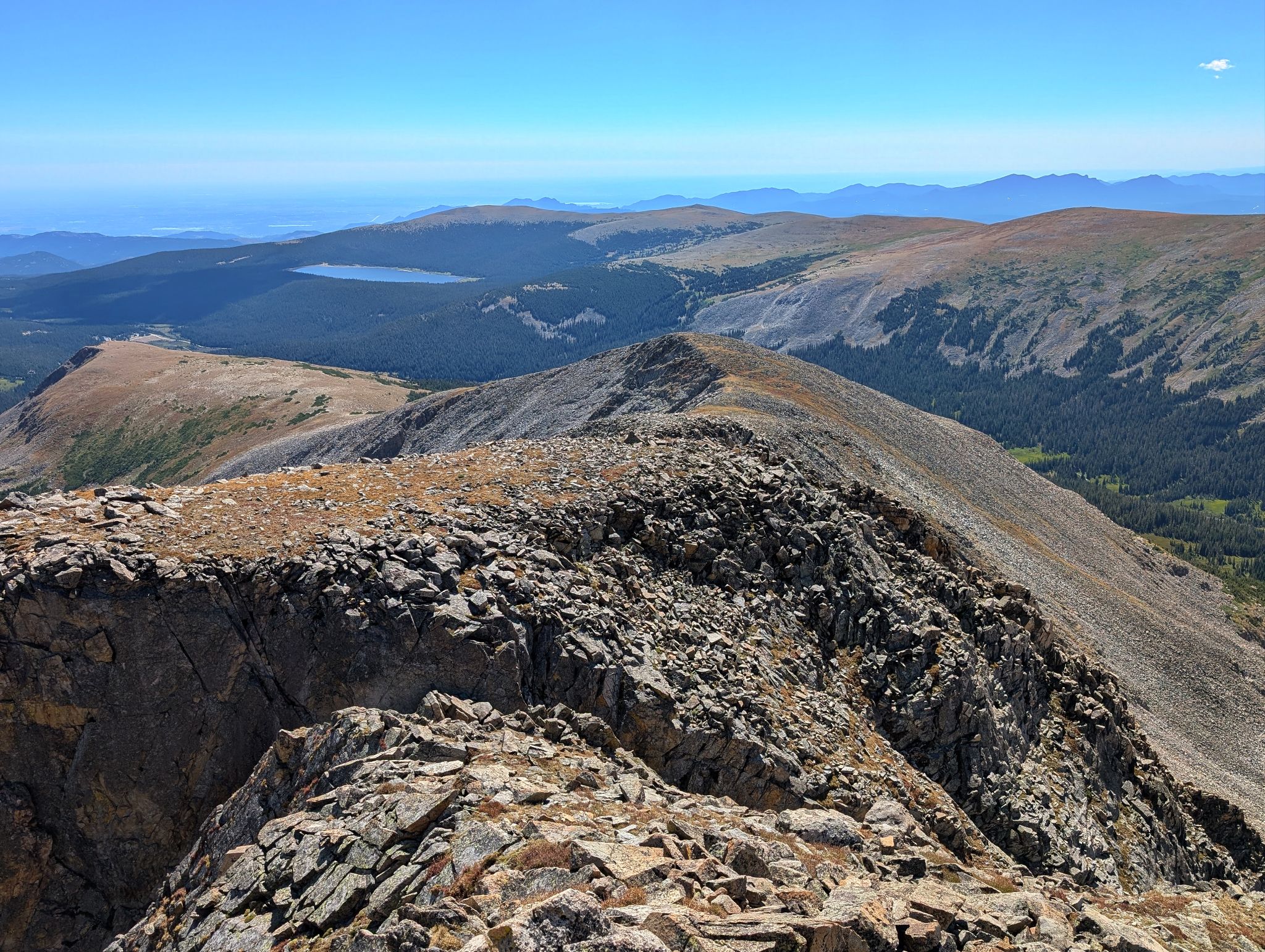
Little Pawnee's east ridge went quickly although there was some tedious talus
![Pawnee 40]()
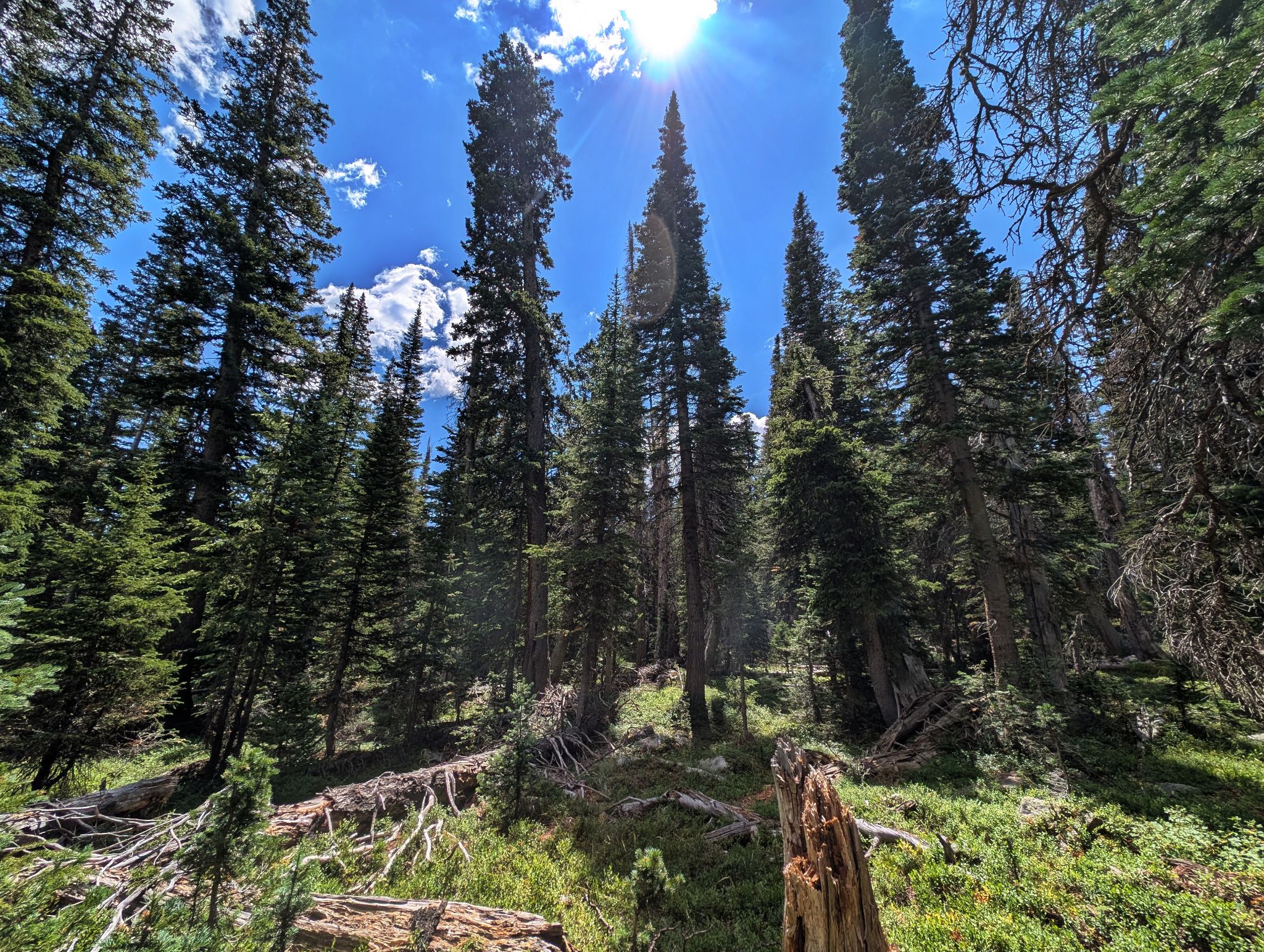
Getting back to the Pawnee Pass trail wasn't too bad... maybe some light bushwacking but not too bad
![Pawnee 41]()
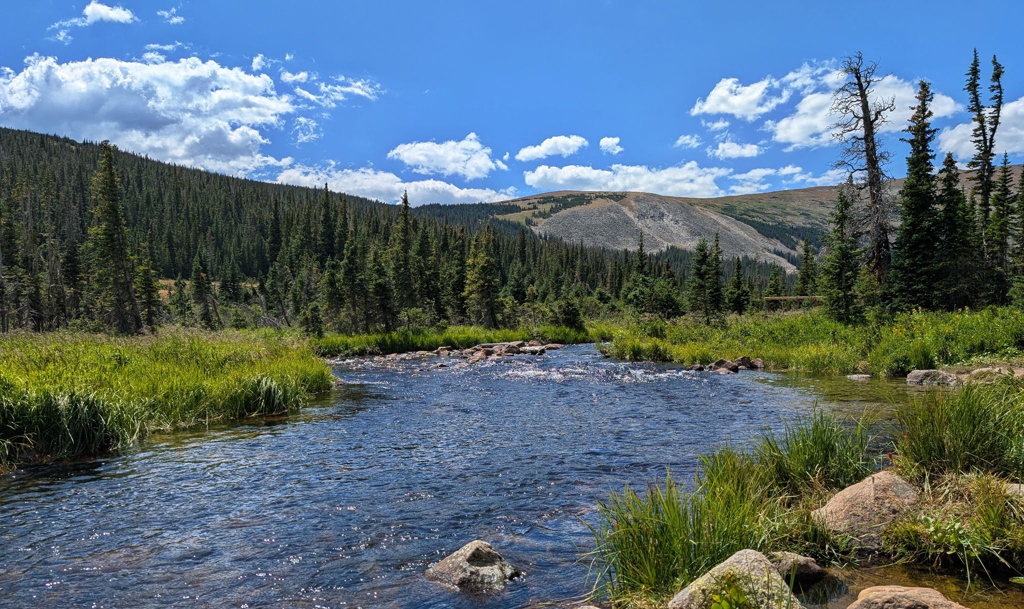
South Saint Vrain Creek below Long Lake